- Joined
- Dec 23, 2013
- Messages
- 4,104
While visiting my folks in North Carolina at the beginning of June, my kids and I did two short day hikes in the Smoky Mountains (in western NC it is often spelled Smokey). The first, was the Goldmine Loop Trail which is located about 9 miles, slightly northwest of Bryson City, NC. The loop itself is 3.5 miles long and depending on which direction you hike, you have a tunnel of .6 miles to walk through either at the beginning or at the end. We chose to leave the tunnel for the end, so our hike would be in a clockwise direction around the loop.
Now while the loop itself doesn't have anything spectacular along its route, it does drop down to Fontana Lake which was created by the TVA back in the 1940's and of course one gets to experience the excellent biodiversity that resides in the Smokies. While hiking the loop, we stopped at the lone backcountry campsite 67 for lunch. While at the site, I noticed a slight trail that I thought might lead to a pit toilet of some sorts, but after following it for roughly .2 miles, I came to a cage that I later learned was to trap wild boar that roam the area.
After lunch, we completed the remainder of the loop and of course made our way through the tunnel. Of course at this point I had to do some yelling to hear my echo within the tunnel. The tunnel by the way has an interesting story behind it. Originally, Swain County, NC and the Park Service had agreed to build a highway down the north side of Fontana Lake after it had flooded the old highway when it was filled. So Swain County did their part which included the tunnel but the Park Service eventually reneged on their part of the deal. So now you basically have what the locals call a road to nowhere, with about one mile being part of the loop trail.
Picture taking was a challenge for me with all the sun and shadows along the trail but oh well.
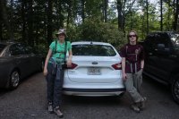
Fired up and ready to roll!
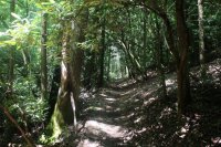
Typical trail conditions around the loop
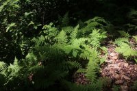
Ferns along the route
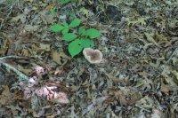
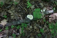
Mushrooms too
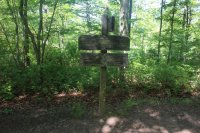
Signpost for a cutoff trail to avoid the tunnel. I'm guessing it is for horseback riders.
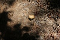
Another mushroom
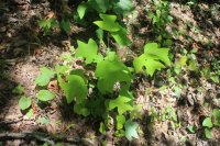
I just liked the leaves on this plant
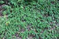
More variety of plants
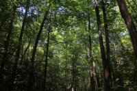
Looking up at the canopy
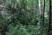
Mountain Laurel off to the side of the trail.
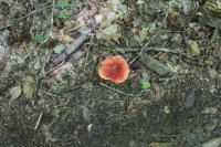
You guessed it, another mushroom!
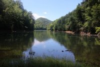
Fontana Lake
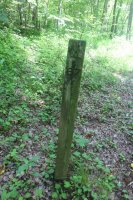
Sign for campsite 67
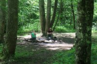
Layout of the campsite
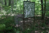
Used to trap wild boar
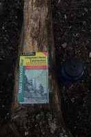
Tools of the trade
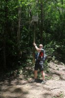
The Scat, holding up the backcountry campsite signpost for would be passer byres.
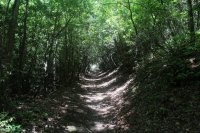
More trail
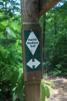
North part of the loop is also part of the Benton MacKaye Trail
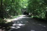
Son of Scat approaching the tunnel
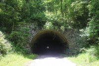
Straight shot through the tunnel
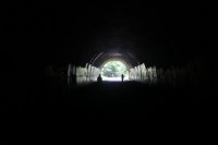
Approaching the other end of the tunnel and our car.
The second short hike was about a mile down the road from the loop and it was along a stretch of the Noland Creek Trail. Now this trail was named after one of my ancestors known as Andrew Noland who was supposedly the first white settler in the area. Not only was the trail named after him, but also Noland Divide and the old community of Noland which was inundated by the rising waters of Fontana. On this hike, we headed up stream for a mile and a half to the first backcountry campsite and then returned the trailhead the way we had come. At backcountry campsite 65, they actually had cement picnic tables. A little to cushy for me I'm afraid. The Noland Creek Trail is also part of the Benton MacKaye Trail system. For those that like to fish, I'm told this is an excellent Rainbow Trout stream.
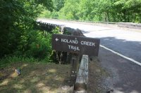
Noland Creek Trailhead and a lone shoe.
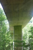
Don't ask! We ended up under the highway bridge in the wrong spot before picking up the trail
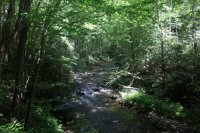
Noland Creek
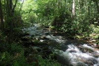
Noland Creek
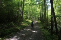
The Noland Creek Trail - it is an old roadbed at this point because there used to be an old homestead up the creek a few miles.
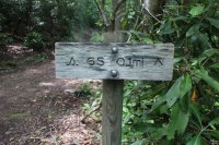
Intersection with the trail to campsite 65
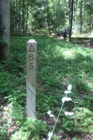
Signpost for campsite 65
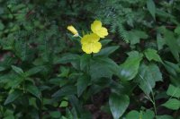
Wildflower at the campsite
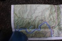
Map view of our two hikes
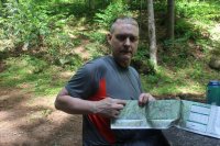
We are here I tell you!
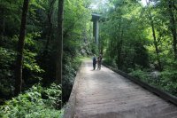
Almost back to the trailhead.
Both hikes together ended up about seven miles total distance with nothing too strenuous though the loop did have a couple of hills that would make you sweat a bit. I enjoyed both and was glad to be back in the Smokies for the first time in three years.
Now while the loop itself doesn't have anything spectacular along its route, it does drop down to Fontana Lake which was created by the TVA back in the 1940's and of course one gets to experience the excellent biodiversity that resides in the Smokies. While hiking the loop, we stopped at the lone backcountry campsite 67 for lunch. While at the site, I noticed a slight trail that I thought might lead to a pit toilet of some sorts, but after following it for roughly .2 miles, I came to a cage that I later learned was to trap wild boar that roam the area.
After lunch, we completed the remainder of the loop and of course made our way through the tunnel. Of course at this point I had to do some yelling to hear my echo within the tunnel. The tunnel by the way has an interesting story behind it. Originally, Swain County, NC and the Park Service had agreed to build a highway down the north side of Fontana Lake after it had flooded the old highway when it was filled. So Swain County did their part which included the tunnel but the Park Service eventually reneged on their part of the deal. So now you basically have what the locals call a road to nowhere, with about one mile being part of the loop trail.
Picture taking was a challenge for me with all the sun and shadows along the trail but oh well.

Fired up and ready to roll!

Typical trail conditions around the loop

Ferns along the route

Mushrooms too

Signpost for a cutoff trail to avoid the tunnel. I'm guessing it is for horseback riders.

Another mushroom

I just liked the leaves on this plant

More variety of plants

Looking up at the canopy

Mountain Laurel off to the side of the trail.

You guessed it, another mushroom!

Fontana Lake


Sign for campsite 67

Layout of the campsite

Used to trap wild boar

Tools of the trade

The Scat, holding up the backcountry campsite signpost for would be passer byres.

More trail

North part of the loop is also part of the Benton MacKaye Trail

Son of Scat approaching the tunnel

Straight shot through the tunnel

Approaching the other end of the tunnel and our car.
The second short hike was about a mile down the road from the loop and it was along a stretch of the Noland Creek Trail. Now this trail was named after one of my ancestors known as Andrew Noland who was supposedly the first white settler in the area. Not only was the trail named after him, but also Noland Divide and the old community of Noland which was inundated by the rising waters of Fontana. On this hike, we headed up stream for a mile and a half to the first backcountry campsite and then returned the trailhead the way we had come. At backcountry campsite 65, they actually had cement picnic tables. A little to cushy for me I'm afraid.

Noland Creek Trailhead and a lone shoe.

Don't ask! We ended up under the highway bridge in the wrong spot before picking up the trail

Noland Creek

Noland Creek

The Noland Creek Trail - it is an old roadbed at this point because there used to be an old homestead up the creek a few miles.

Intersection with the trail to campsite 65

Signpost for campsite 65

Wildflower at the campsite

Map view of our two hikes

We are here I tell you!

Almost back to the trailhead.
Both hikes together ended up about seven miles total distance with nothing too strenuous though the loop did have a couple of hills that would make you sweat a bit. I enjoyed both and was glad to be back in the Smokies for the first time in three years.
Last edited:
