Udink
Still right here.
- Joined
- Jan 17, 2012
- Messages
- 1,748
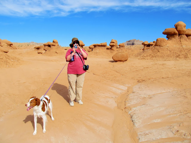
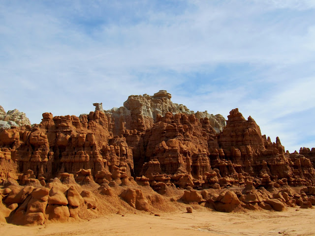
Last weekend's adventure was a great whole-family trip. I'd planned for some hiking at Goblin Valley and canoeing at Joe's Valley. I was awake by 6AM, which seems to be the norm with the puppy and her immature bladder. Due to a lot of preparation the night before we were on the road before 7:30 and hiking in Goblin Valley by 9:30. There were three geocaches in the area that I hadn't already found and I'd hoped to find them all, but we only made it to two. The family took a leisurely stroll through the goblins toward the first cache. We saw many signs of recent precipitation but luckily conditions were dry enough for some comfortable hiking. The first geocache was an easy find. We moved toward the second, but this one was a toughie and hadn't been found in the two months since it was placed.
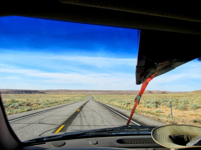
The drive to Goblin Valley
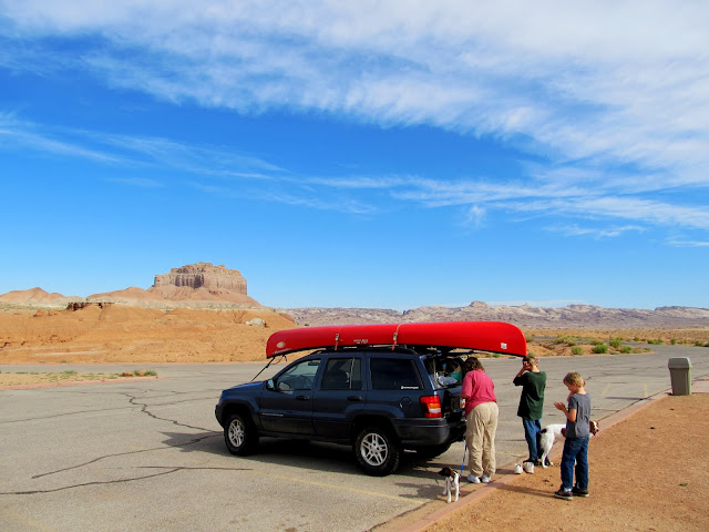
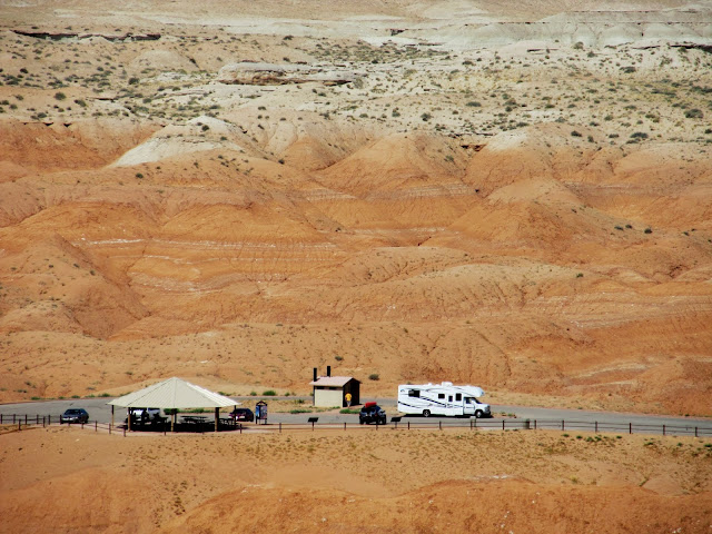
An almost empty parking lot!
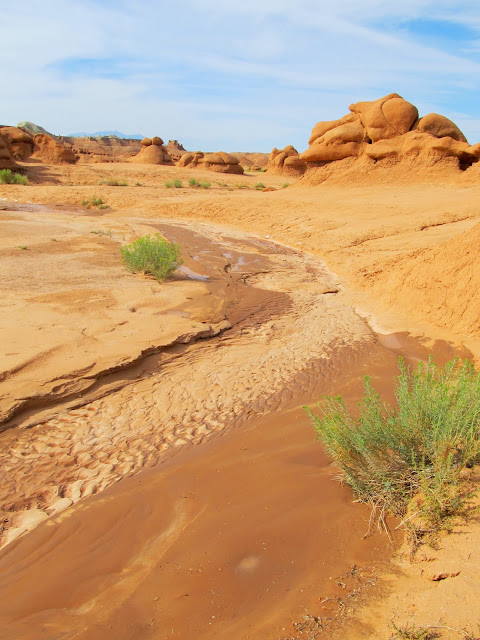
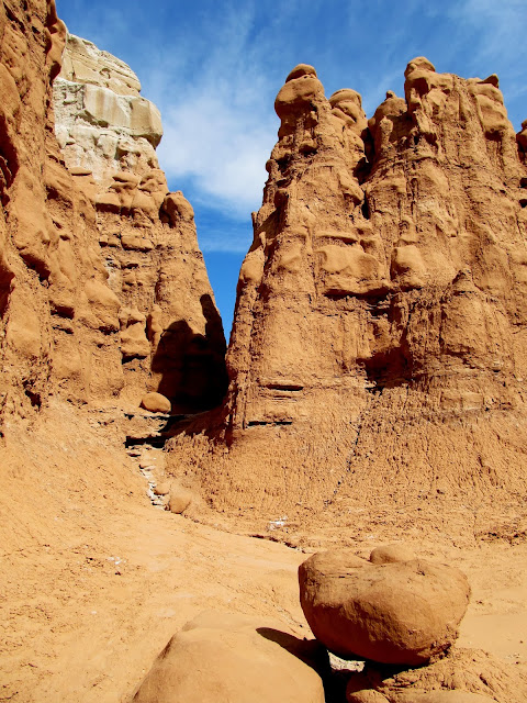
Goblin Valley
Goblin Valley
Goblin Valley
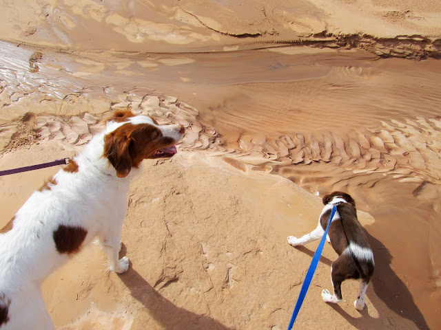
Torrey and Boulder at Goblin Valley
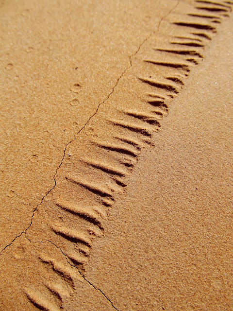
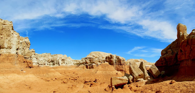
Erosion patterns at Goblin Valley
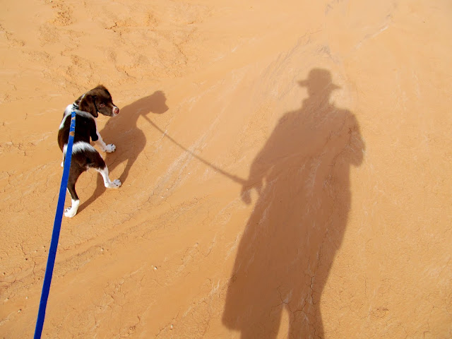
Boulder and my shadow
Goblin Valley
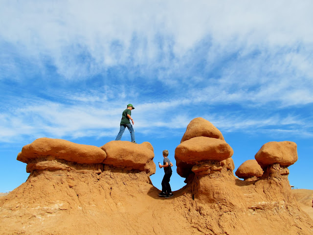
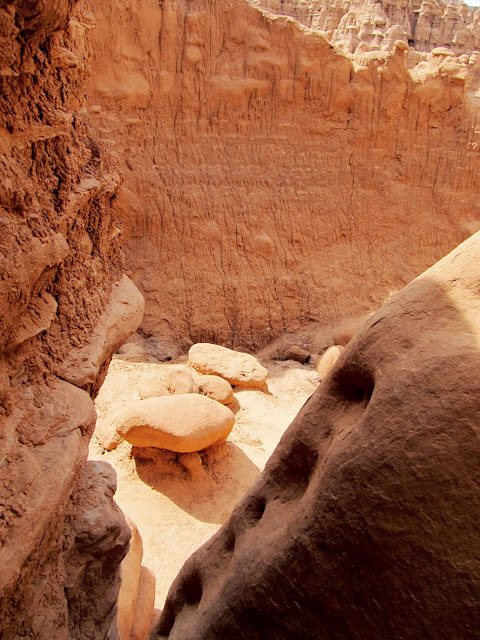
Bradley making the climb
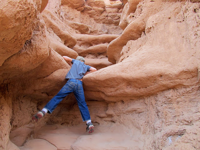
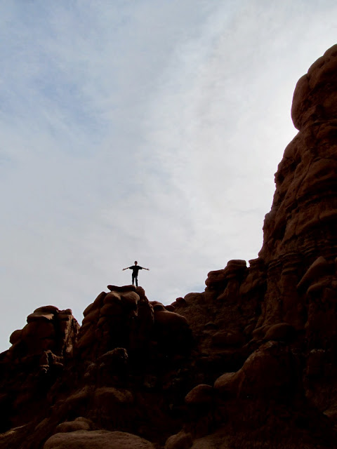
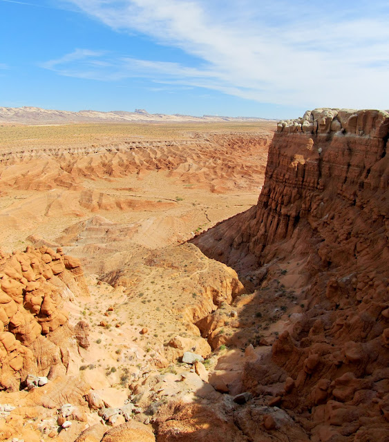
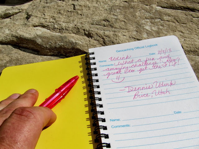
I ditched Traci, the kids, and the dogs a mere 300 feet (as the raven flies) from the next geocache, though it took me 30 minutes to routefind my way there. It was a fun challenge climbing my way up and through many narrow gaps and steep chutes. Once I topped out on the white Curtis Formation, I was more confident that I could easily make my way to the geocache. My only concern then was that I wouldn't find an empty logbook. My GPS zeroed out on top of a ledge and logic dictated that the cache must be below the ledge. It was indeed there and I was relieved to find an unspoiled logbook. From my perch above Goblin Valley I could look down upon (literally, not figuratively) the other park-goers. There were families and kids playing in the goblins and young adults scrambling up the ledges and cliffs on the east side of the valley. I walked along a ledge to the south until I could see Traci and I hollered down to her letting her know I'd made it safely to the top. I surprised both of us by making it back down to the bottom in about 10 minutes. We wandered our way back toward the parking lot, letting the kids play as long as they wanted in the goblins. We grabbed lunch in the Jeep as I started the drive to Joe's Valley.
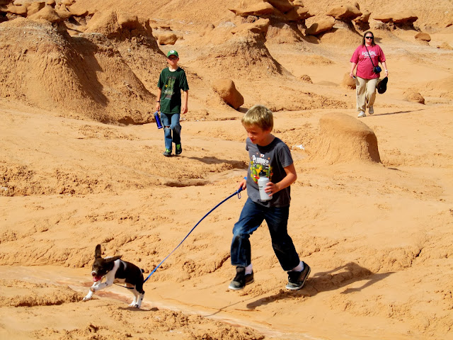
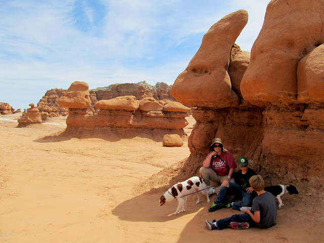
The fam at Goblin Valley
My next destination is the top of this plateau to find a geocache
Route to the top of the plateau
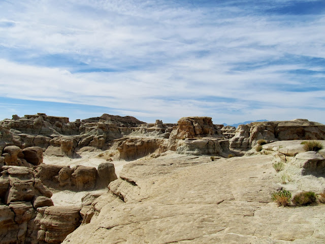
Almost above the Entrada Sandstone, hoping to get on top of the Curtis Formation
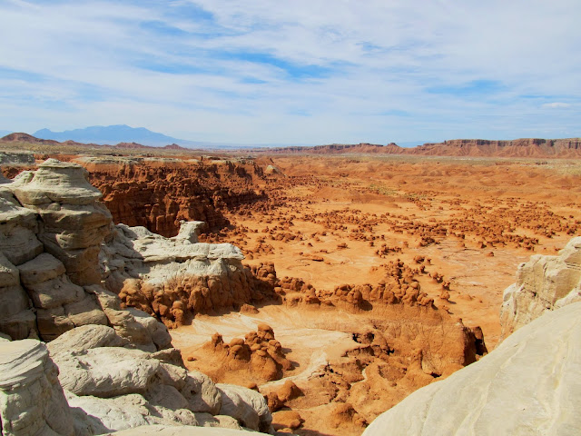
Goblin Valley
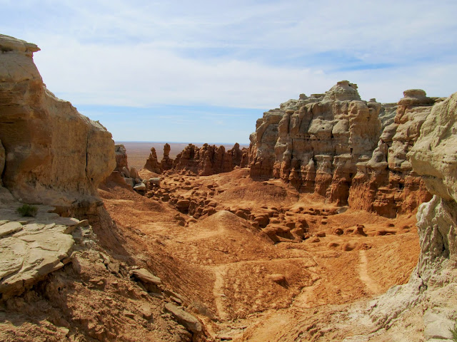
View out of Goblin Valley
Walking on top of the Curtis Formation plateau
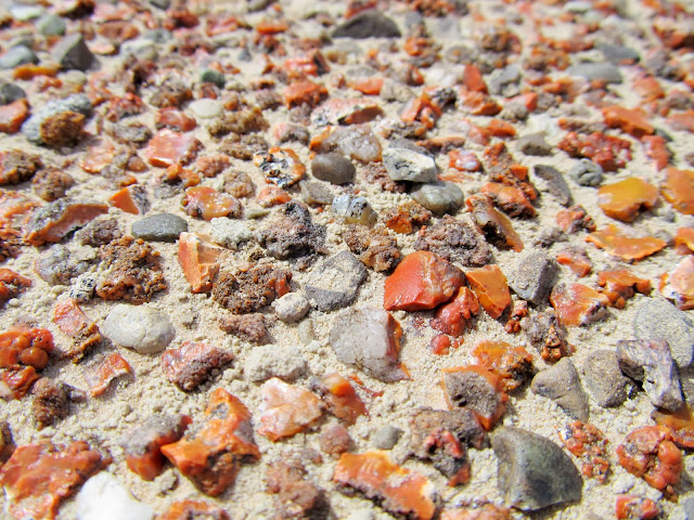
Jasper
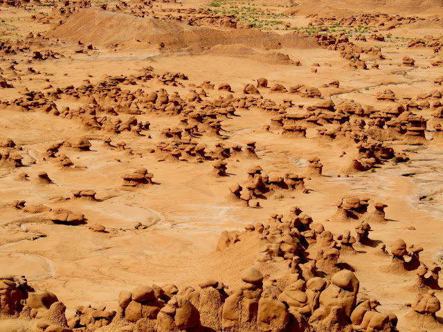
View down on the goblins
View down on the goblins
The Jeep in the parking lot
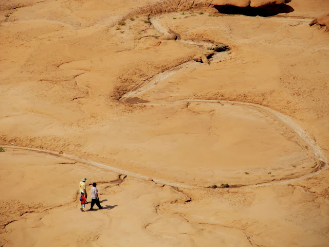
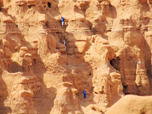
Fellow park visitors below
Got the first-to-find!
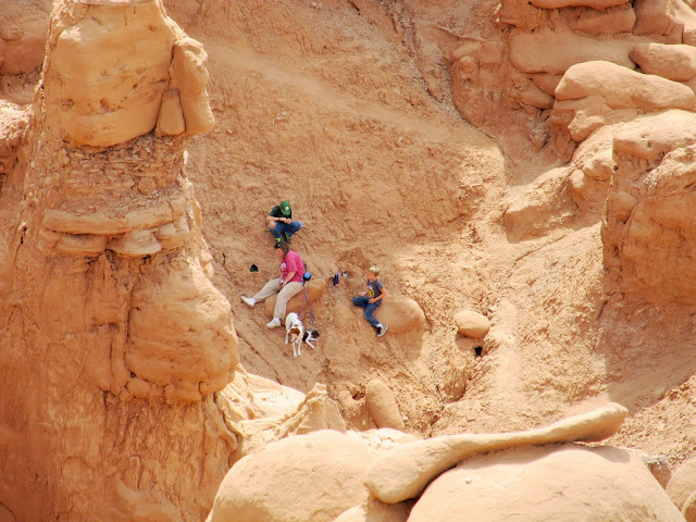
My family and the puppies waiting for me
Fellow adventurers climbing up the plateau
Route back down into the valley
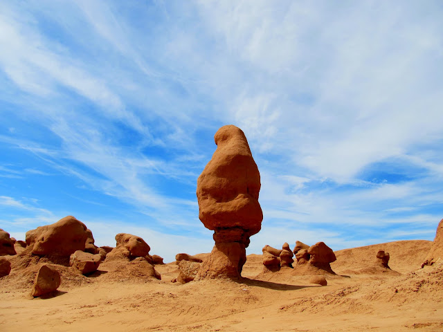
One of my favorite formations in Goblin Valley
Shading up on the way back to the Jeep
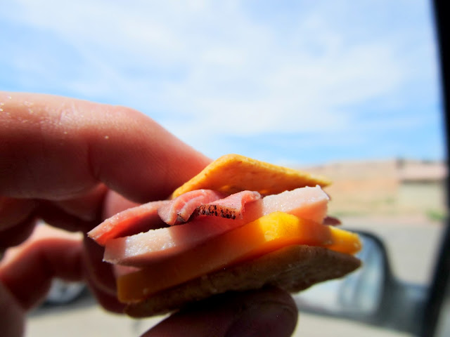
Lunch in the parking lot before heading to Joe's Valley
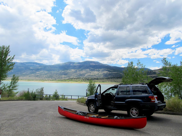
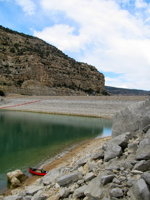
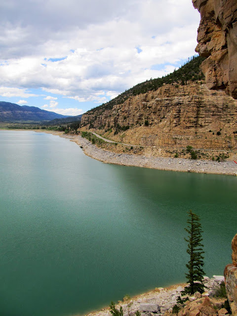
2.5 hours later we were at Joe's Valley but I was unnerved by the signs we'd seen along the way saying that the boat ramp was closed. We could see that the water level was a little below the level of the concrete boat ramp. The gate at the top of the boat ramp was locked, but the canoe only weighs 80 pounds and Traci and I carried it over the gate and 400 feet to the water fairly easily. We made a couple of trips from the Jeep to the water's edge carrying chairs, a shade tent, life jackets, and various other gear. As soon as Traci and the kids were set up comfortably I set out for a solo paddle. I wanted to see, up-close, the names I'd seen carved in the cliffs a few months ago, but unencumbered by young'uns and mutts. It took me 35 minutes to paddle just over a mile to the south side of the dam. A headwind slowed me down and made traveling in a straight line difficult. I was looking forward to the return trip with a tailwind, though. I beached the canoe and started scrambling up the steep hillside toward the names/initials I'd seen high on the cliffs.
We had to park about 400' from the water because the boat ramp at Joe's Valley was closed
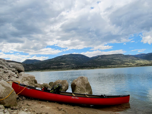
At the water's edge
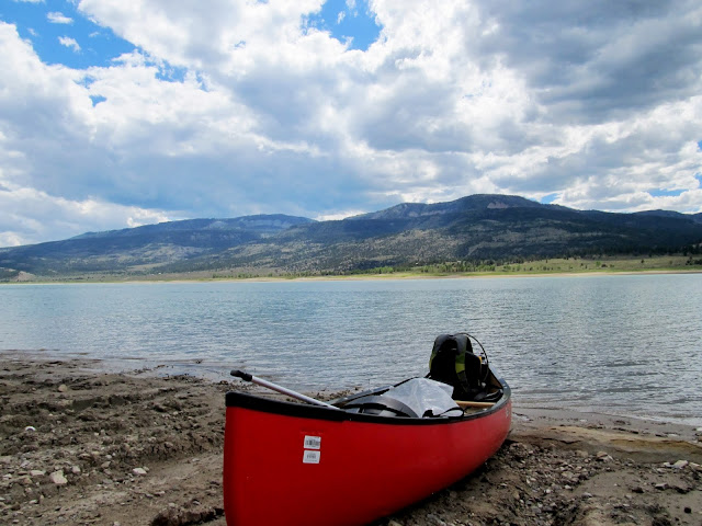
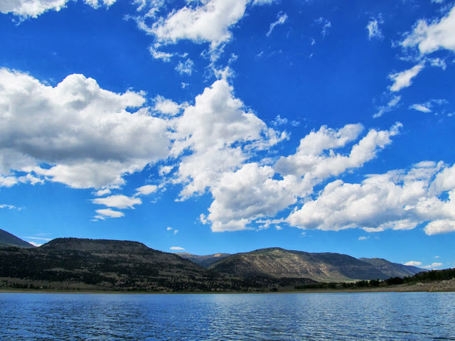
I had Joe's Valley Reservoir all to myself!
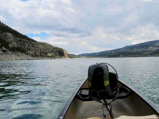
Joe's Valley Reservoir
Tied up near the dam
Route to the cliffs near the dam
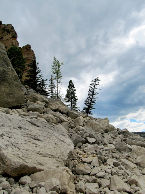
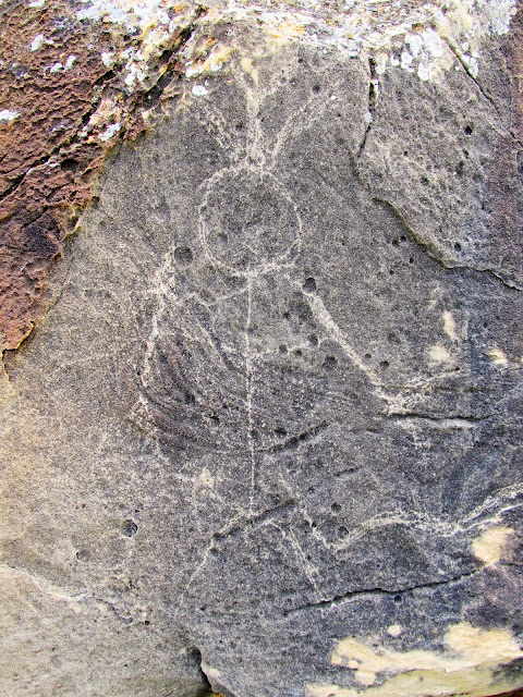
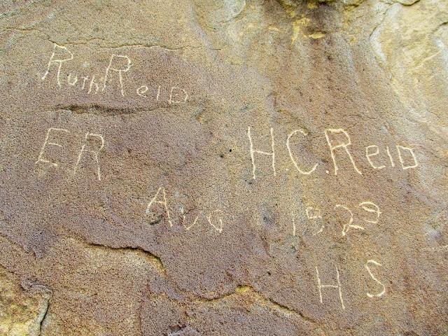
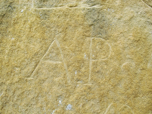
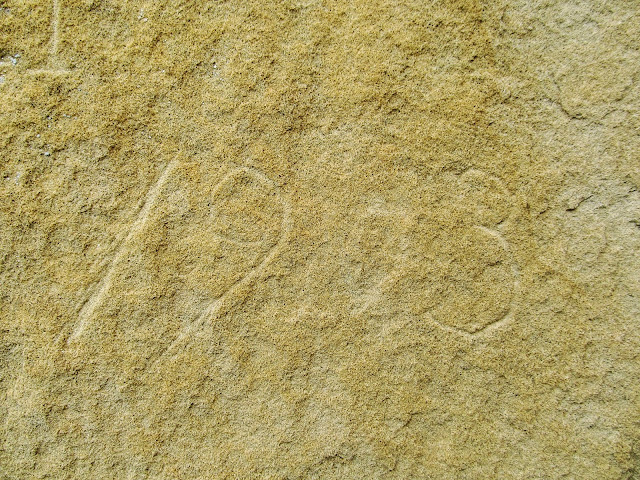
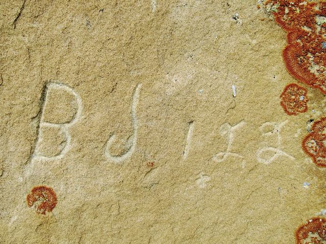
I easily found some names that I hadn't seen on the earlier trip, but the other names eluded me at first. The first set of names dated to as early as 1929, the most prominent being from the Reid family. I deduced that the other names must be on a higher cliff band that's only visible from the water and I started looking for a way up there. One narrow route led up above the cliffs with the first set of names, and there I found the initials that I'd seen earlier from the reservoir. There were a couple sets of initials there--E.J., A.P., and B.J., one with what looked like a 1903 date. I finally felt like I'd seen all that I came to see and I paddled back to my waiting family. I was disappointed to find the wind had died down--I was under my own power the entire way back. I arrived at the boat ramp to find Traci all ready to leave--she didn't enjoy the wind and sprinkles that fell over the area and had packed up the Jeep. We carried and secured the canoe and hit the road.
Joe's Valley dam
Modern carvings
Reid family writings from 1929
Joe's Valley Reservoir
A.P.
1903?
B.J. 122
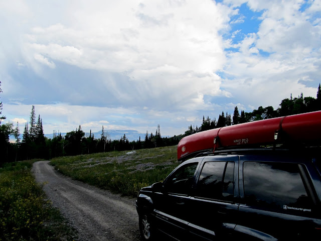
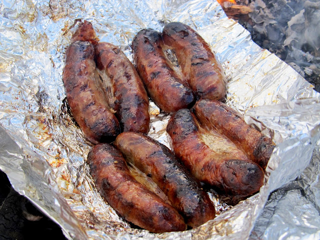
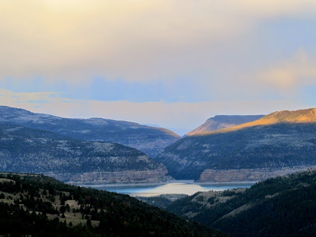
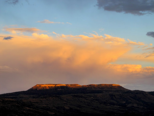
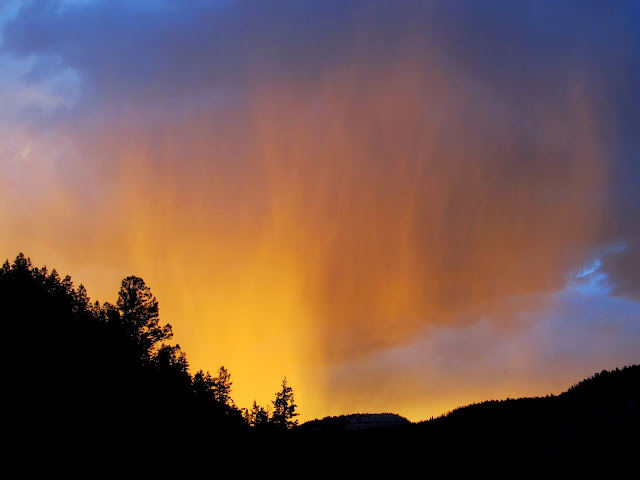
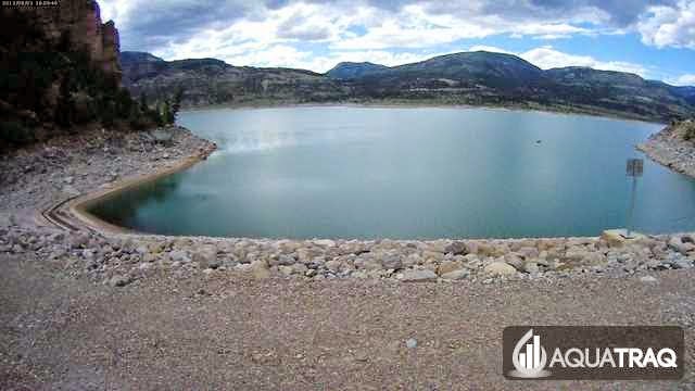
Our last plans for the day were for dinner near Grassy Lake with Traci's cousin and his family. They'd been camping there since mid-week and we hadn't heard from them since before they left town. I wasn't sure where to find them except somewhere near Grassy Lake, so we drove around the area but came up empty. We later found out that they'd unexpectedly gone home earlier that day. So, for dinner, we stopped at the same spot where Chris and I camped on the first night of our 321-mile ATV ride three years earlier. We re-heated some bratwurst over a small fire and downed it with some chips or crackers, then had cookies for dessert. During the drive back down toward Joe's Valley we were treated to a colorful sunset as some dark clouds dumped rain on the mountain where we'd just come from. Back at home I snagged a webcam photo of me canoeing across the dam from here.
Jeep near Grassy Lake
Making dinner near Grassy Lake
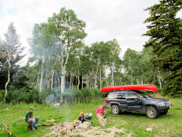
Brats over the fire
Joe's Valley Reservoir
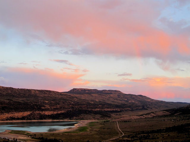
The last sunlight on the Cap on North Horn Mountain
The Jeep on the descent back toward Joe's Valley
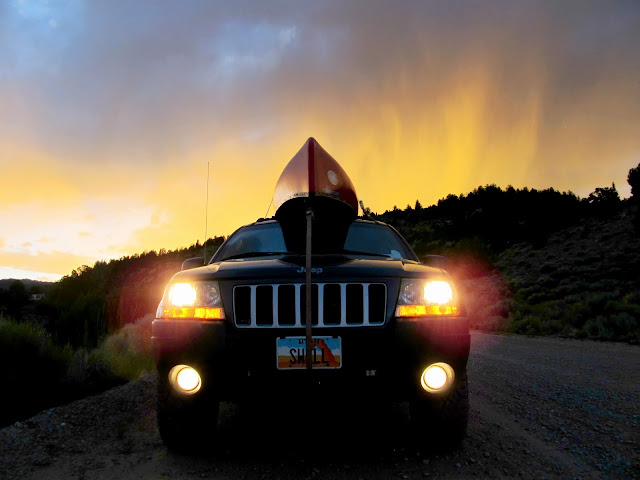
Sunset behind the rain
Joe's Valley and North Horn Mountain
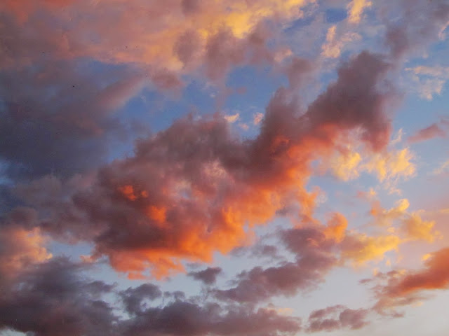
Sunlight on the clouds to end a great day
Webcam capture of me canoeing in Joe's Valley Reservoir (the small black speck on the water is me)
Full photo gallery:
https://picasaweb.google.com/Dennis.Udink/GoblinAndJoeS
[parsehtml]<iframe width="640" height="480" frameborder="0" scrolling="no" marginheight="0" marginwidth="0" src="https://maps.google.com/maps?f=q&source=s_q&hl=en&geocode=&q=http:%2F%2Fudink.org%2Fgeo%2FGoblinAndJoe's.kmz&aq=&sll=39.60063,-110.806334&sspn=0.076582,0.169086&t=h&ie=UTF8&ll=38.56263,-110.699487&spn=0.008054,0.013733&z=16&output=embed"></iframe><br /><small><a href="https://maps.google.com/maps?f=q&source=embed&hl=en&geocode=&q=http:%2F%2Fudink.org%2Fgeo%2FGoblinAndJoe's.kmz&aq=&sll=39.60063,-110.806334&sspn=0.076582,0.169086&t=h&ie=UTF8&ll=38.56263,-110.699487&spn=0.008054,0.013733&z=16" style="color:#0000FF;text-align:left">View Larger Map</a></small>[/parsehtml][parsehtml]<iframe width="640" height="480" frameborder="0" scrolling="no" marginheight="0" marginwidth="0" src="https://maps.google.com/maps?f=q&source=s_q&hl=en&geocode=&q=http:%2F%2Fudink.org%2Fgeo%2FGoblinAndJoe's.kmz&aq=&sll=39.60063,-110.806334&sspn=0.076582,0.169086&t=h&ie=UTF8&ll=39.308136,-111.307812&spn=0.063755,0.109863&z=13&output=embed"></iframe><br /><small><a href="https://maps.google.com/maps?f=q&source=embed&hl=en&geocode=&q=http:%2F%2Fudink.org%2Fgeo%2FGoblinAndJoe's.kmz&aq=&sll=39.60063,-110.806334&sspn=0.076582,0.169086&t=h&ie=UTF8&ll=39.308136,-111.307812&spn=0.063755,0.109863&z=13" style="color:#0000FF;text-align:left">View Larger Map</a></small>[/parsehtml]http://udink.org/geo/GoblinAndJoe's.kmz
Featured image for home page

The drive to Goblin Valley
An almost empty parking lot!
Goblin Valley
Goblin Valley
Goblin Valley
Torrey and Boulder at Goblin Valley
Erosion patterns at Goblin Valley
Boulder and my shadow
Goblin Valley
Bradley making the climb
I ditched Traci, the kids, and the dogs a mere 300 feet (as the raven flies) from the next geocache, though it took me 30 minutes to routefind my way there. It was a fun challenge climbing my way up and through many narrow gaps and steep chutes. Once I topped out on the white Curtis Formation, I was more confident that I could easily make my way to the geocache. My only concern then was that I wouldn't find an empty logbook. My GPS zeroed out on top of a ledge and logic dictated that the cache must be below the ledge. It was indeed there and I was relieved to find an unspoiled logbook. From my perch above Goblin Valley I could look down upon (literally, not figuratively) the other park-goers. There were families and kids playing in the goblins and young adults scrambling up the ledges and cliffs on the east side of the valley. I walked along a ledge to the south until I could see Traci and I hollered down to her letting her know I'd made it safely to the top. I surprised both of us by making it back down to the bottom in about 10 minutes. We wandered our way back toward the parking lot, letting the kids play as long as they wanted in the goblins. We grabbed lunch in the Jeep as I started the drive to Joe's Valley.
The fam at Goblin Valley
My next destination is the top of this plateau to find a geocache
Route to the top of the plateau
Almost above the Entrada Sandstone, hoping to get on top of the Curtis Formation
Goblin Valley
View out of Goblin Valley
Walking on top of the Curtis Formation plateau
Jasper
View down on the goblins
View down on the goblins
The Jeep in the parking lot
Fellow park visitors below
Got the first-to-find!
My family and the puppies waiting for me
Fellow adventurers climbing up the plateau
Route back down into the valley
One of my favorite formations in Goblin Valley
Shading up on the way back to the Jeep
Lunch in the parking lot before heading to Joe's Valley
2.5 hours later we were at Joe's Valley but I was unnerved by the signs we'd seen along the way saying that the boat ramp was closed. We could see that the water level was a little below the level of the concrete boat ramp. The gate at the top of the boat ramp was locked, but the canoe only weighs 80 pounds and Traci and I carried it over the gate and 400 feet to the water fairly easily. We made a couple of trips from the Jeep to the water's edge carrying chairs, a shade tent, life jackets, and various other gear. As soon as Traci and the kids were set up comfortably I set out for a solo paddle. I wanted to see, up-close, the names I'd seen carved in the cliffs a few months ago, but unencumbered by young'uns and mutts. It took me 35 minutes to paddle just over a mile to the south side of the dam. A headwind slowed me down and made traveling in a straight line difficult. I was looking forward to the return trip with a tailwind, though. I beached the canoe and started scrambling up the steep hillside toward the names/initials I'd seen high on the cliffs.
We had to park about 400' from the water because the boat ramp at Joe's Valley was closed
At the water's edge
I had Joe's Valley Reservoir all to myself!
Joe's Valley Reservoir
Tied up near the dam
Route to the cliffs near the dam
I easily found some names that I hadn't seen on the earlier trip, but the other names eluded me at first. The first set of names dated to as early as 1929, the most prominent being from the Reid family. I deduced that the other names must be on a higher cliff band that's only visible from the water and I started looking for a way up there. One narrow route led up above the cliffs with the first set of names, and there I found the initials that I'd seen earlier from the reservoir. There were a couple sets of initials there--E.J., A.P., and B.J., one with what looked like a 1903 date. I finally felt like I'd seen all that I came to see and I paddled back to my waiting family. I was disappointed to find the wind had died down--I was under my own power the entire way back. I arrived at the boat ramp to find Traci all ready to leave--she didn't enjoy the wind and sprinkles that fell over the area and had packed up the Jeep. We carried and secured the canoe and hit the road.
Joe's Valley dam
Modern carvings
Reid family writings from 1929
Joe's Valley Reservoir
A.P.
1903?
B.J. 122
Our last plans for the day were for dinner near Grassy Lake with Traci's cousin and his family. They'd been camping there since mid-week and we hadn't heard from them since before they left town. I wasn't sure where to find them except somewhere near Grassy Lake, so we drove around the area but came up empty. We later found out that they'd unexpectedly gone home earlier that day. So, for dinner, we stopped at the same spot where Chris and I camped on the first night of our 321-mile ATV ride three years earlier. We re-heated some bratwurst over a small fire and downed it with some chips or crackers, then had cookies for dessert. During the drive back down toward Joe's Valley we were treated to a colorful sunset as some dark clouds dumped rain on the mountain where we'd just come from. Back at home I snagged a webcam photo of me canoeing across the dam from here.
Jeep near Grassy Lake
Making dinner near Grassy Lake
Brats over the fire
Joe's Valley Reservoir
The last sunlight on the Cap on North Horn Mountain
The Jeep on the descent back toward Joe's Valley
Sunset behind the rain
Joe's Valley and North Horn Mountain
Sunlight on the clouds to end a great day
Webcam capture of me canoeing in Joe's Valley Reservoir (the small black speck on the water is me)
Full photo gallery:
https://picasaweb.google.com/Dennis.Udink/GoblinAndJoeS
[parsehtml]<iframe width="640" height="480" frameborder="0" scrolling="no" marginheight="0" marginwidth="0" src="https://maps.google.com/maps?f=q&source=s_q&hl=en&geocode=&q=http:%2F%2Fudink.org%2Fgeo%2FGoblinAndJoe's.kmz&aq=&sll=39.60063,-110.806334&sspn=0.076582,0.169086&t=h&ie=UTF8&ll=38.56263,-110.699487&spn=0.008054,0.013733&z=16&output=embed"></iframe><br /><small><a href="https://maps.google.com/maps?f=q&source=embed&hl=en&geocode=&q=http:%2F%2Fudink.org%2Fgeo%2FGoblinAndJoe's.kmz&aq=&sll=39.60063,-110.806334&sspn=0.076582,0.169086&t=h&ie=UTF8&ll=38.56263,-110.699487&spn=0.008054,0.013733&z=16" style="color:#0000FF;text-align:left">View Larger Map</a></small>[/parsehtml][parsehtml]<iframe width="640" height="480" frameborder="0" scrolling="no" marginheight="0" marginwidth="0" src="https://maps.google.com/maps?f=q&source=s_q&hl=en&geocode=&q=http:%2F%2Fudink.org%2Fgeo%2FGoblinAndJoe's.kmz&aq=&sll=39.60063,-110.806334&sspn=0.076582,0.169086&t=h&ie=UTF8&ll=39.308136,-111.307812&spn=0.063755,0.109863&z=13&output=embed"></iframe><br /><small><a href="https://maps.google.com/maps?f=q&source=embed&hl=en&geocode=&q=http:%2F%2Fudink.org%2Fgeo%2FGoblinAndJoe's.kmz&aq=&sll=39.60063,-110.806334&sspn=0.076582,0.169086&t=h&ie=UTF8&ll=39.308136,-111.307812&spn=0.063755,0.109863&z=13" style="color:#0000FF;text-align:left">View Larger Map</a></small>[/parsehtml]http://udink.org/geo/GoblinAndJoe's.kmz
Featured image for home page