chandlerwest
Member
- Joined
- Feb 7, 2015
- Messages
- 550
As previously shared I have spent the better part of 35 years visiting Glacier National Park. As a day hiker I am limited to how far into the park I can reach. But I have still managed to hike over 300 miles of its trails. The Middle Fork of the Flathead River provides a natural barrier to the Coal Creek-Nyack section of the park. A vast wilderness that few individuals invest the time to reach. My timeshare cabin sits in the Nyack Flats, so I can look across the Middle Fork into this region but it might as well be Siberia. During my early August week the river is historically too high and swift to consider fording. September and October is the season to breach this natural barrier.
I started watching the USGS flow gauges in July. The river was running well below its historical average. In 2019 Jeff and I, on our last day, had scoped out a couple of the fords and they look possibly, possible but psychologically we weren't in a place to attempt them. The flow of the river in 2021 was comparable to 2019. Could this be the year that I should "go for it!" ? I was alone for the week, for only the second time in my history, so I had no one other than myself to consider. I knew that the hikes I could do on the other side of the river were relatively uneventful. No real destinations, just the experience of hiking the trails. Being by myself was the perfect time to have such a personal, intimate week.
I arrived to the area early enough on Friday to brave the road construction on HWY 2 to get into the Backcountry Office to see if they had any additional information on the three fords of the river. I invested 2 hours to get three generic pieces of paper that didn't provide much additional information but they were a nudge to get this experience accomplished this season. Who knows when the opportunity will come again to breach the barrier of the Middle Fork of the Flathead River.
My first day I headed for the Nyack Crossing. In 2019 this crossing had almost destroyed my hopes of ever doing this. We followed the blazes and were greeted by a debris field that I would never be comfortable with. So I was apprehensive as I approached. Only to find the way clean and beyond doable.
This is a shot looking back across the initial channel.
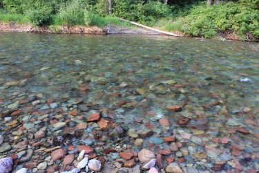
After a short walk across the island I came to the meat of the ford. So wonderfully pleasant. Walking across a 32-36 inch deep "not swift" river. I instantly was committed to a week of river fording and exploring new trails. You can just make out an orange blaze to help guide you.
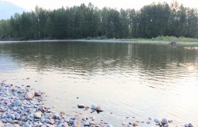
Midstream view upstream
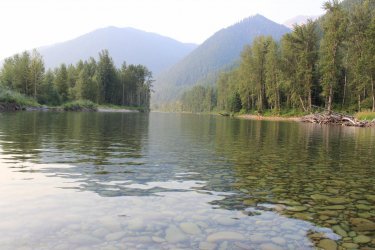
I was lulled into a false sense of security as there were immediate signs of trail maintenance getting up onto the South Boundary Trail. But those initial uses of a weed whacker were the last that I saw all week. As I have said, historically no one is fording this river for weeks, so there is no need for the trail crew to prioritize this region in early August. Which they most definitely did not as I will document. The initial mile of trail was waist to chest high brush. I was amazes at how I could travel through that stuff, with barely a slowdown while plucking and eating thimbleberries. I was in my own little heaven....as it was still early in the day. I came across Nyack Creek and had to laugh. "Oh ya, I suppose I do have to ford the creeks also!" I had focused on the river for a decade and it had never gotten through that I had a handful of creeks to deal with also. They were in line with my experience in the Virgin River Narrows so I was glad I had not wasted any time worrying about getting across those.
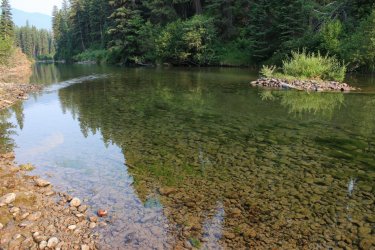
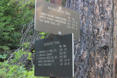
I took pictures of every trail sign I saw this week. "Oh my God I am standing at the junction leading into THE NYACK!!!!!!"
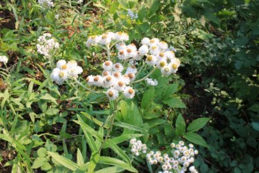
As you have heard.......there is a bit of smoke in the air in the America West. Another reason why this week worked out perfectly. Elevation is not your friend for photography. This week was spent predominantly in the forest. I could have gotten to Loneman Lookout but would have no view for major effort.
My cabin is over in those flats at the base of the mountains....somewhere.
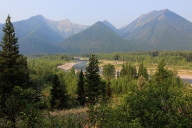
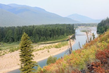
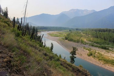
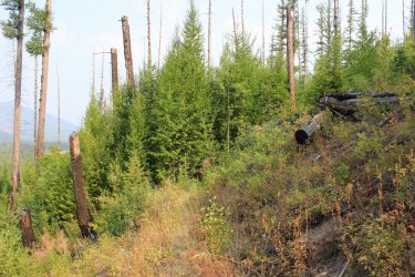
The immediate environs were continually changing due to historical fires. That pocket of newer green ahead looked inviting. The trail got a bit nasty in there.....Ha.
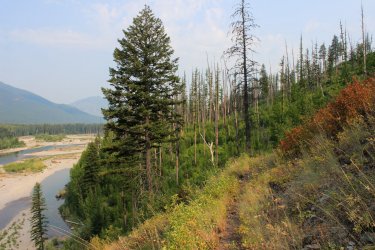
Yep, that is the trail. My "HHHEEEYYYYY OoooHHHH" just got a bit louder.
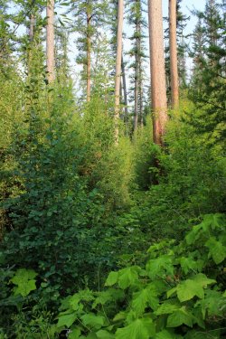
It seemed my trail led to a wall of trees
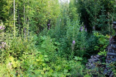
Nope.....made a right turn into this. It still amazes that I was able to walk through stuff like this with barely a slow down. I was more apt to trip over a bear than see a bear. But I always knew I was on a trail. I could "feel" it with my feet and intuition, I suppose. How can something be an inconvenience, and even a danger, yet be such a joy.
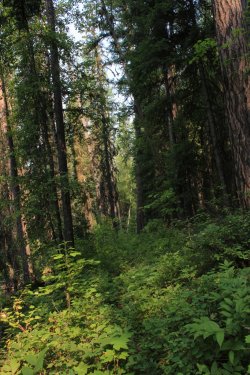
It was in this darker forest that I had a bird obviously persuading me along. It sounded as if it was within ten feet but I could not see it anywhere. Then I saw its shadow off to the left as if in a 50's pterodactyl movie. Eventually I caught a glimpsed of it. Was a hawk of some sort.
Look at those huge beached trees
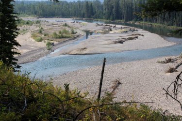
Some deep pools in that river.
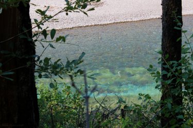
Eventually reached the ford of Harrison Creek. This had a lively depth and swiftness. Quite refreshing and enjoyable.
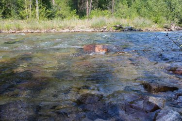
The forest on the other side had a familiar vibe to it. Felt more like forest that I have hiked many miles in. AND I had huckleberries. I hadn't noticed until that time that I had not seen any huckleberries on this hike. Was a puzzlement why that was the case. Sure it has some scientific/environment explanation.
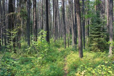
Making my way back south along the South Boundary Trail. Smoke could completely veil a mountain or accentuate the depth of them.
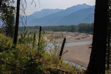
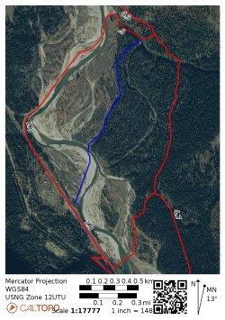
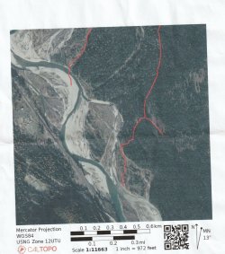
In my research I saw that there was a separate Pack Trail Crossing of the river in the Nyack area. I wanted to give this a try. The beta I had said "32 inches and not swift flow." Well......I have gone through a range of emotions about this little sidebar of a route. Initially I thought the beta was incomplete thus I got off track. Then I thought I completely misread the beta thus got myself into a mess. In the end (a week later) I think it all came down to an overly cropped photo that I was using on the day. If I had not cropped the crap out the photo I was packing I might have gone precisely where I wanted to go. Would I have found the "32 inches of not swift flow."? Who knows!!!!
This screenshot is of the route I actually took in red. The Pack Trail is in blue. It is followed by the overly cropped photo that I was packing with me.
I had cropped ALL perspective out of this photo.
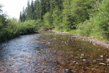
The trail dropped down a good size slope and came out at Nyack Creek. There was no sign/guidance as to what I should do. There was a brushy island in front of me so the view directly across the creek was blocked. Obviously, with that first photo above, I should have gone directly across the creek and found a trail on the other side. Instead I headed downstream to the river. Oh well. I wouldn't have a story if things would have gone properly.
I quickly reached the river and started looking for that glorious "32 inches of not swift". It was not here!! Upstream I had a series of gravel bars with a swift channel that had to eventuallly be breached.
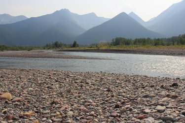
Downstream it was a single channel but the middle of it was screaming not to try it. I learned that being able to see the rocks on the bottom of the river were a measurement of clarity, not of depth. Then you factor in unknown swiftness and it becomes quite the mathematical problem for a 63 year old 160 pound body.
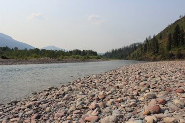
Not wanting to reverse my route back up the slope and through the chest deep forest, I believed that the gravel bars were my best bet. I could sidle my way around problem areas. I had a few extremely swift channels but they were shallow. But that last channel was always looming to be conquered.
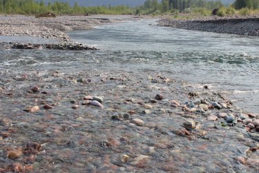
This is a shot back across that final channel. I am safe. I headed across because I could make out the bottom all the way. I knew the water was gonna get swift but turned my concentration up to 11 and set out. Making sure that I always had three strong points of contact with my feet and trekking poles. It was a fight but I made it. The water was easily waist deep and with the force of the water it was splashing against my belly. I was too busy doing the ford to get overly scared. I don't care to do that again!!! Now is a good time to mention these trekking poles I had. In May I found them in a closet. Jeff didn't know anything about them. Scott, sort of, remembered finding them or some story but immediately forgetting them. These poles were like finding an unwrapped Christmas present. In both my June trip and this week in August I was only able to do some things because of these trekking poles that miraculously showed up in my closet.
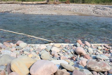
On day two I headed back to the Nyack Crossing. Mt. Stimson looming!
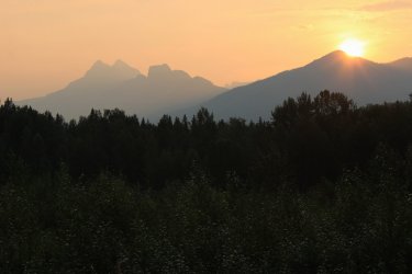
I got across the river and sat to change into my hiking boots. I had forgotten my hiking socks!!!! So......back across the river to my car, take the 4 minute ride back to the cabin to get my socks. Ha.
I eventually took the South Boundary Trail south towards Coal Creek. This section of trail went a bit more inland. Thus was spectacularly overgrown. One stretch was 45 minutes of chest high adventure. I am not proud. If I felt like hollering every minute to announce my presence......I did. I don't hike in Glacier to see bears.
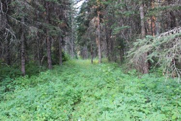
Yep......trail
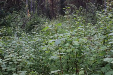
There was an occasional orange blaze
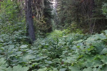
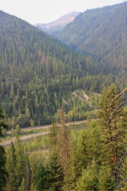
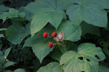
In the morning Thimbleberries taste like they came straight out of the fridge!
Enjoying the detail of a forest walk.
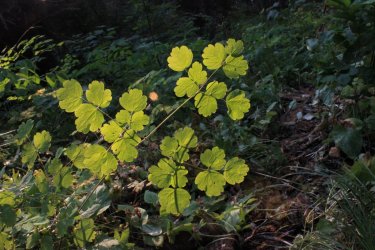
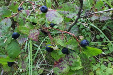
The blessed Huckleberry
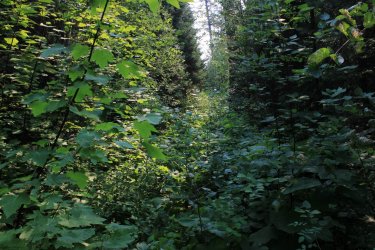
The "blessed" trail
The wonderful Middle Fork
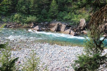
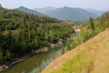
My plans had been to hike to the Coal Creek ford of the Middle Fork, turn around and retrace my steps. But as the morning progress I felt that there was nothing that I was dying to see going in the opposite direction. I knew the crossing was near HWY 2 so I began thinking about road walking.
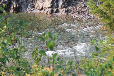
The ford of Coal Creek.
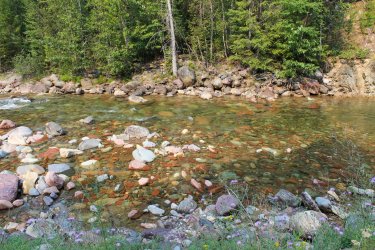
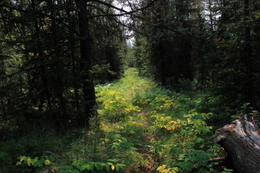
Smoky haze of the mountains.
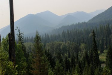
This is looking back across the ford of the Middle Fork that I had just completed. You can barely make out an orange blaze on the other side. The trail status report said "36 inches deep semi-swift." That was about right. Took some time to insure that my feet wouldn't sweep away.
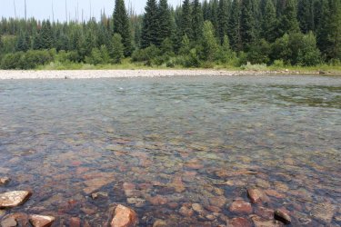
I then road walked the five miles back to my car. What would probably had taken me 4 hours in the forest took only 2 hours. That was a good deal! A factoid worth noting. I have driven HWY 2 a hundred times. During this week I was rarely beyond a mile away from it, but due to the river barrier and the remoteness and lack of maintenance of the trails I was in a "wilderness".
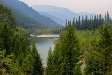
I was sort of beat up from my two days so I took day 3 off to scout the way across the river at the Harrison ford. The beta I had wasn't very specific. Essentially, pick the best crossing in a 200 yard section of the river.
Upon arriving to the river I saw there was a guy fishing the opposite bank. So I decided to watch him and let him show me how he got over there. Pretty lazy.....I agree. And the longer it played out the more self conscious I became about it. How I began to feel like I was stalking this guy. I could have called out to him and just asked but......no. Didn't want to intrude. I watched a parade of rafts pass me. Catching snippets of their talk. Entertaining in a channel surfing kind of way. One guy was talking about his sled dogs in Alaska. So random.
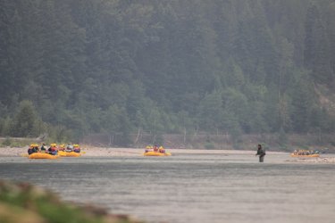
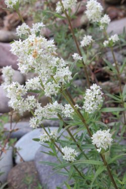
I eventually gave up on the fisherman. He went downstream, then upstream, never crossing over that final channel on my side. I started reading the river, like I should have done from the start and came up with a likely spot. Before I left I went to the far downstream section of the "ford". Staring at the river I could see all the way across. The water looked peaceful. Feeling stupid I realized that I had my water shoes and trekking poles strapped to my back. "Just put your shoes on Harry and walk into the water!!!!" I was 20 feet in the water and I looked upstream and saw two rafts coming towards me. Oops. I didn't feel rushed and hopefully they didn't have to do any maneuvering to slow down. I reached the other side, raised my trekking poles above my head and they gave me a cheer because I had made it. I apologized for not looking both ways before I stepped out into the river. I would ford in this spot for the remainder of the week.
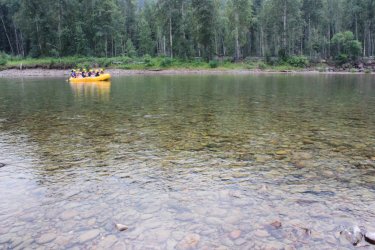
Looking upstream
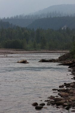
I was settling in for a night of the Olympics and I went "when are smoky skies a positive thing? At sunset!" So I jumped in the car and headed for Logan Pass.
I took this photo on June 7, 2021.
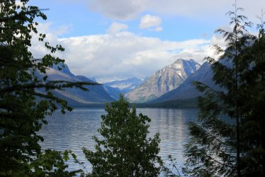
From the same spot on August 2, 2021
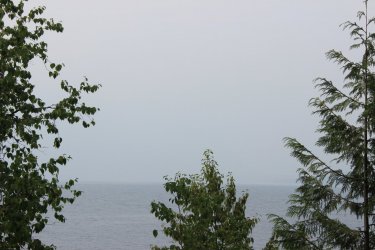
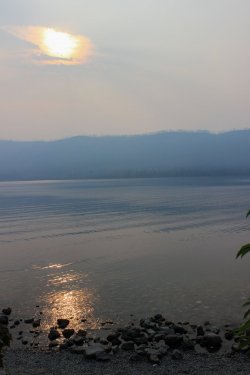
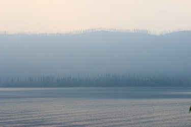
I had a mix of clouds and smoke so the evening didn't turn out like I had hoped, but it was still wonderful!!!!
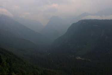
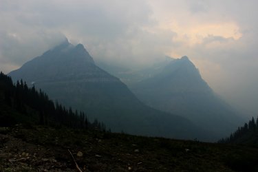
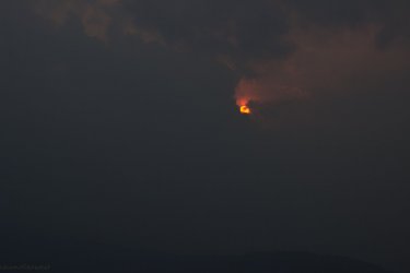
Day 4 was going to be a long 15 mile day up Lincoln Creek. I wanted to reach the Lincoln Lake Trail Junction that I had hiked in 2014. Connecting the dots on my map. I woke up to quite a fog.
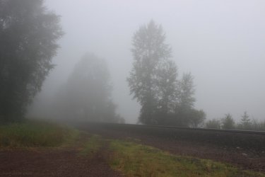
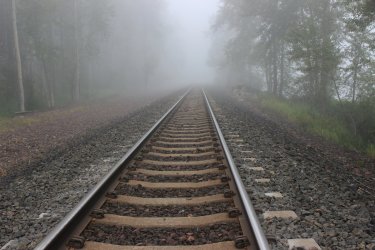
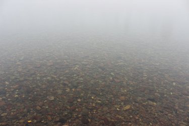
Crossing the river in the fog was such an incredible experience. I could barely make out ghost trees across the river. It was like I was moving in a bubble of clear space.
I believe that the Lincoln Creek Trail has no purpose. There is a more direct (though uglier elevation) route to Lincoln Lake. It doesn't go anywhere BUT to Lincoln Lake. So, it surely doesn't get much use. Just the type of trail I love to take and mark off on my map. I absolutely enjoyed this trail......until I didn't. Ever changing environment, the fog, views of the creek. Pleasant elevation gain.
I got across the river and had to find my way to the South Boundary Trail. I had a string of orange ribbons hanging in trees to guide me. The usefulness of these ribbons play out on a story later in the day.
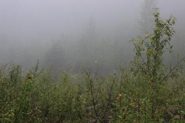
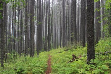
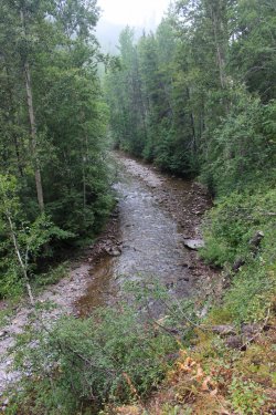
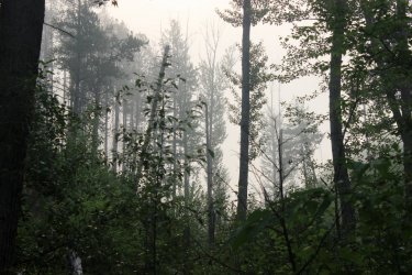
Lincoln Creek
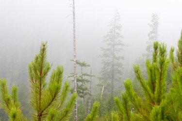
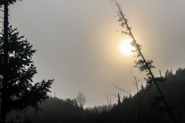
Sun trying to break through the fog.
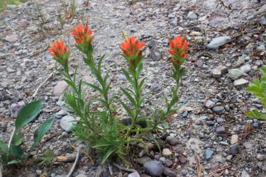
Indian Paintbrush in the middle of the trail
I really enjoyed this trail!!
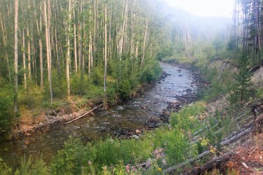
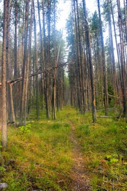
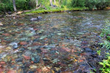
Half way into the hike there were three fords of Lincoln Creek. I believe that this 1st ford has to be one of the prettiest places ever.
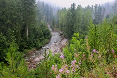
Fireweed started becoming prevalent.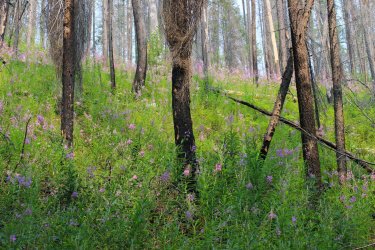
I walked up to what I came to call a Rocky Mountain Cairn. This is not THE cairn but another one that I am including just for narrative sake.
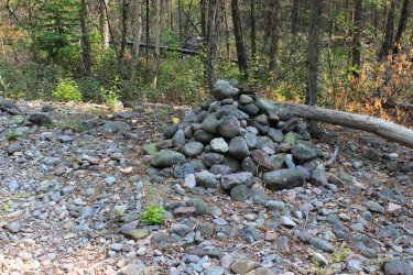
I knew that this pile of rocks was telling me something. But I looked around and saw nothing. Not another cairn. Not an orange blaze. Not a social trail. Nothing. All I saw was that the trail that I had been following for hours continued by it. Unmarred, unhindered.
Well.....it shortly led to this.
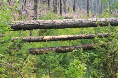
I could see the trail continuing through the down falls so onward I went. Assuming.........I don't know what I was assuming any more.
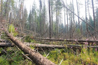
It was a rats nest. Always seemingly leading back to "the trail"
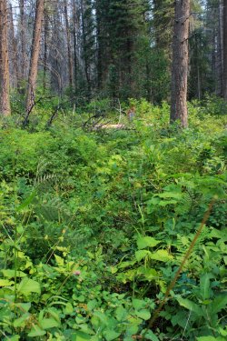
I spent one hour getting into Hell and finding my way back out of it. I eventually reached what I believed to be the end of it (standing trees) only to find more trees and much much thicker bush. Any psychic link to the trail was lost. This type of terrain is frightening. Knowing that you are one weak branch away from falling and impaling yourself. Relying on my trekking poles to come away with only two rips in my pants and couple owies on my right hand. I was expecting my trekking pole to break at any moment. Coming out I found myself loosing focus. I would reach an obstacle and start breaking off all of the branches that would give instead of thinking it out. Sigh!
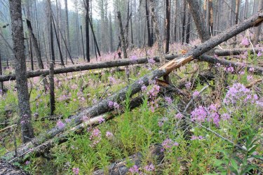
I eventually got back to the cairn but I knew my day was done so I didn't spend any additional time trying to "read" what that f'n pile of rocks was saying to me. I am sure it was related to the 2nd ford of Lincoln Creek. You look on the maps and the trail takes a definite 90 degree turn to reach that ford. Why were there no orange blazes like I had seen early by the river? Why was the cairn not directly in the (what I assume) is an abandoned trail? Why was that trail not hidden by simply dragging tree branches across it. A simple five minute fix!!!!!! The option to go past that cairn should not even be an option.
So I head back down the trail not feeling defeated. I could accept that I could not read what the area was saying. I am not some wilderness pathfinder. I was just ticked off because there should not have been anything complicated to read. This is a park service trail after all. If you go through the labor of stacking up all those rocks it should be obvious what you are telling people.
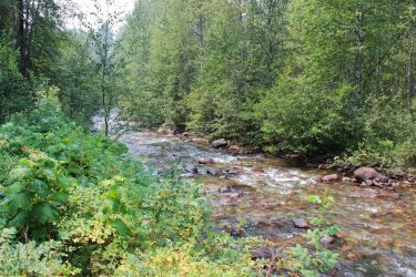
Later I am sitting in the trail enjoying the view when two backpackers walk up. Was I surprise. They were camping at Lincoln Lake that night. I withheld my critique of "why are you on this trail?" and proceeded to tell them of my experience. They had not even known about the three fords because they had simply walked into the permit office and asked what was available and received Lincoln Lake. So they had a destination but no real forethought into their trip. I told them that if I did anything wrong it was failing to read the signs to the 2nd ford. So when we split up they knew to be watchful for that obvious pile of rocks and scour that area to read their way to the ford. I walked away feeling happy because I felt that I had used my misfortune to help those girls get to their camp site. That their young eyes could read what I had overlooked.
Sky is a bit smoky.
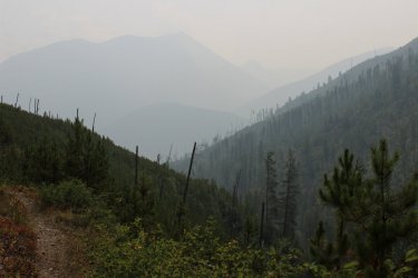
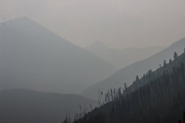
Day 5 was hiking the South Boundary Trail towards West Glacier. Completing a section of trail Jeff and I had started (from West Glacier) in 2014
Absolutely glorious morning.
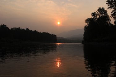
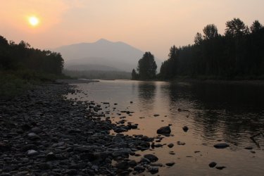
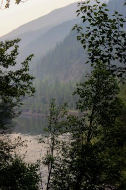
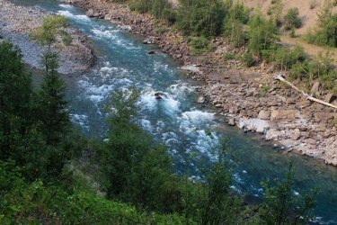
The Middle Fork narrows up a bit through this section. It gives the rafting tourist a bit of a thrill
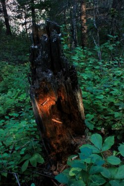
Sun hitting the stump!
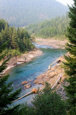
Look at those big trees.
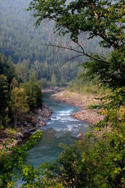
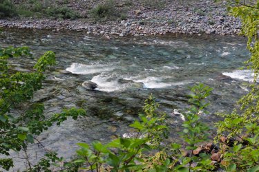
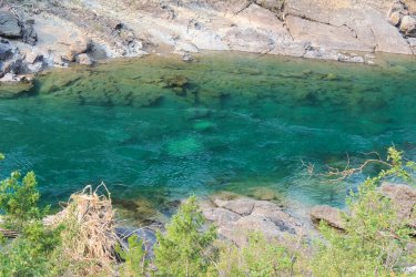
DEEP pools
The early morning rafters finally reaching the faster sections
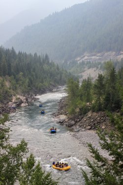
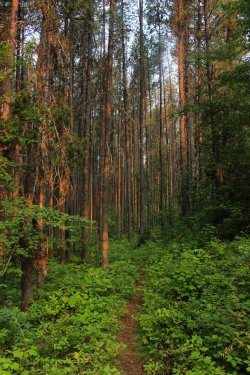
This section of forest just west of Lincoln Creek enthralled me. Thousands of pencil straight trees.
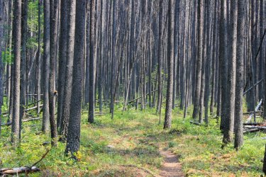
I am crossing the suspension bridge across Lincoln Creek and who is on the other side but the two backpackers from the previous day. They had been unable to get pass the cairn and spent the night at a flat spot along the trail. "Our entire itinerary was shot because we couldn't get to Lincoln Lake." They were on their way out to give someone holy heck. I was heartbroken. I thought I had beaten that damn spot but these two girls couldn't figure it out either. Sadness. A part of me wants to get back there and figure out the puzzle.
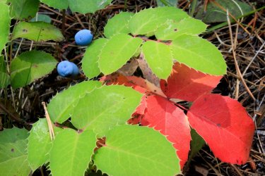
That night I drove back into the park for sunset again. This time stopping at the Loop. I had a much better/different success.
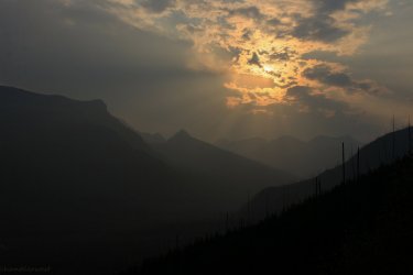
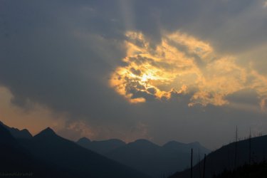
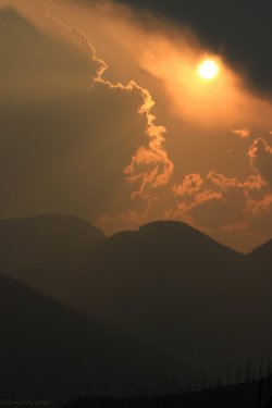
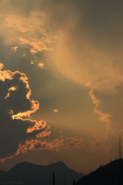
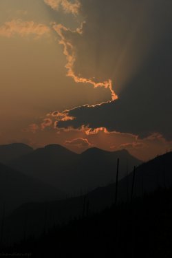
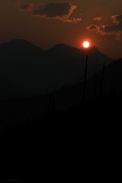
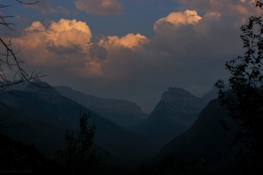
Day 6. The last day. In all my dreams of this week there was only one true destination. Harrison Lake. I looked at it from every angle trying to figure out how I could get to this lake withing fording the river and it just wasn't feasible. I put off this hike, during the week, because I wanted optimum conditions. I was praying that a front would come through and blow all this smoke away. The lake penetrated the mountains so......I had mountains to see. To finally reach Harrison Lake and not being to experience the mountains could have been heartbreaking. But I couldn't put off the hike any more.
It is a bit thrilling having a freight train barreling out of the darkness at you.
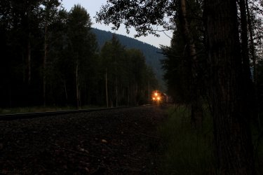
The last glorious morning ford of the Middle Fork of the Flathead River.
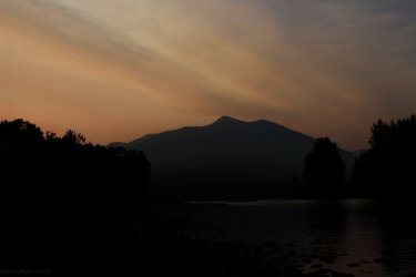
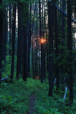
The red glow on the leaves
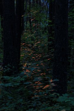
The word "pleasant" could not leave my thoughts. It was such a pleasant morning. The trail immediate climbed a bunch so it hopefully got me out of the thick nasty stuff. I felt like I was on a real trail.
Some more red glow.
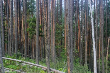
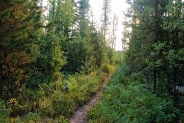
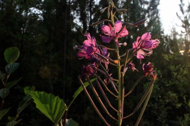
The trail could still get tight but it was more tree like instead of bush.
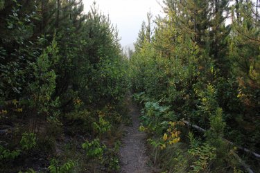
I believe I gave out an exultant cheer when I reached the foot of Harrison Lake. When you finally reach a place that you have spent so much time thinking about!!
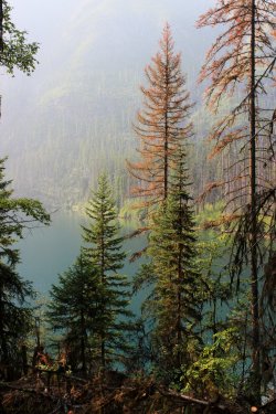
The lake sits Northeast to Southwest so the lighting was quite rough. But it was what I had so I made the best of it.
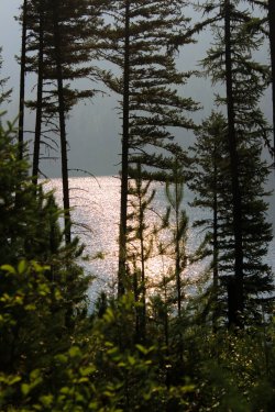
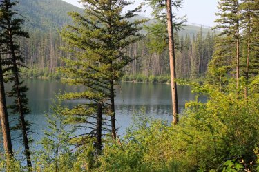
I at least had silhouettes of the mountains. Better than a veil of white nothing. With hopes that as the sun moved across the sky it might improve.
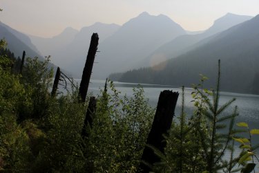
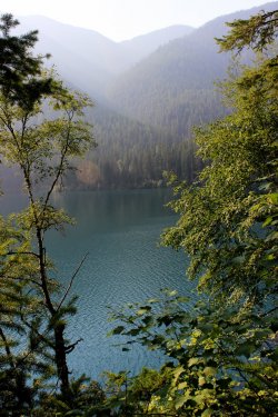
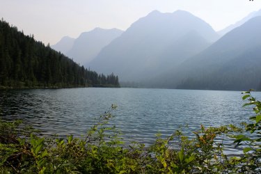
I met another couple. Only the 3rd and 4th people I had met on the trails all week. They said they were "goat counters". They said they hadn't seen any and we all laughed, because how can you see a goat with this air quality. I asked their advice about the route ahead. "Is it worth going pass the campground?" "Did you follow the primitive trail up to the head of the lake." They advised that I get to the Patrol Cabin a half mile pass the campground since its beach had a bit of shade compared to the campground. They had seen no evidence of a trail beyond the cabin.
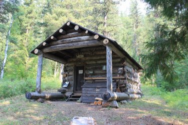
I ended up spending 2.5 hours at this beach. It was just so flipping......pleasant. After awhile it struck me. "This is my lake! No one else is out here......no one" I am in Glacier National Park and have this 2 plus mile lake all to myself. I had a Loon that would call every so often. I could give off a bear holler and have it echo back to me across the lake.
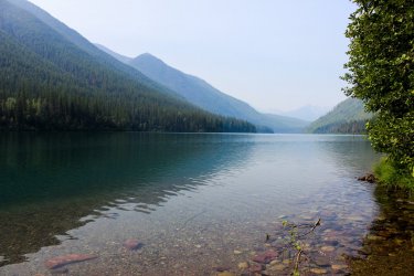
This pass intrigued me. It goes up and over into Thompson Canyon which leads into Nyack Canyon. A huge fire started in Thompson Canyon a few years back.
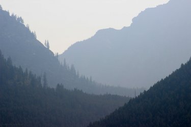
I could walk out into the lake 15 or so feet. Standing on a "beach" of pebbles and look into the abyss of the lake a couple feet away. My view up into the valley beyond was blocked by the shoreline.
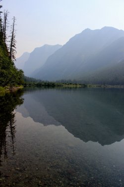
Then I noticed that the beach continued so I walked, in the lake, up towards the head of the lake. I got around the corner and the entire available view opened up. There is the head wall.
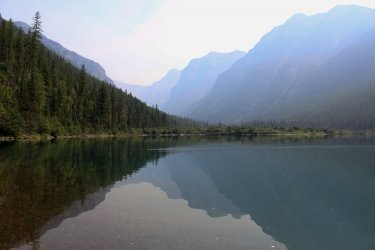
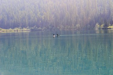
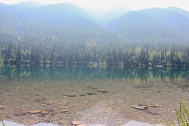
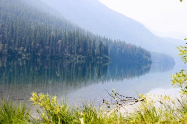
Details slowing came into view!!!!!
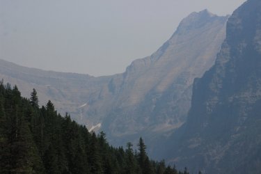
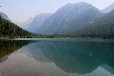
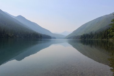
Goodbye beach
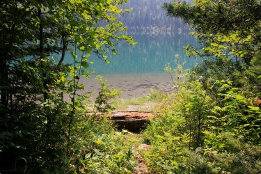
Quite a bit different view than I had in the morning!
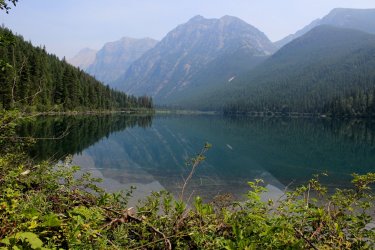
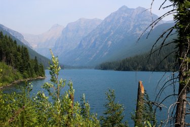
My final fording of the Middle Fork of the Flathead.
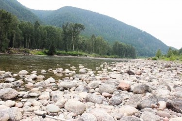
It is wonderful that after all these years I was able to have a truly unique Glacier National Park experience. An experience that I felt would never happen due to the alignment of my visits and flow of the river. I crossed the Middle Fork of the Flathead 14 times. I forded Harrison, Lincoln, and the Nyack Creeks twice. Coal Creek once. It totaled out to 57 miles. I got home and saw that I had taken 823 photos and said "what the hell did I take pictures of!!!!!?????" I must have been determined to document this once in a life time opportunity, even though, all it was mostly, was a "walk in the woods". Thanks for coming along with me.
I started watching the USGS flow gauges in July. The river was running well below its historical average. In 2019 Jeff and I, on our last day, had scoped out a couple of the fords and they look possibly, possible but psychologically we weren't in a place to attempt them. The flow of the river in 2021 was comparable to 2019. Could this be the year that I should "go for it!" ? I was alone for the week, for only the second time in my history, so I had no one other than myself to consider. I knew that the hikes I could do on the other side of the river were relatively uneventful. No real destinations, just the experience of hiking the trails. Being by myself was the perfect time to have such a personal, intimate week.
I arrived to the area early enough on Friday to brave the road construction on HWY 2 to get into the Backcountry Office to see if they had any additional information on the three fords of the river. I invested 2 hours to get three generic pieces of paper that didn't provide much additional information but they were a nudge to get this experience accomplished this season. Who knows when the opportunity will come again to breach the barrier of the Middle Fork of the Flathead River.
My first day I headed for the Nyack Crossing. In 2019 this crossing had almost destroyed my hopes of ever doing this. We followed the blazes and were greeted by a debris field that I would never be comfortable with. So I was apprehensive as I approached. Only to find the way clean and beyond doable.
This is a shot looking back across the initial channel.

After a short walk across the island I came to the meat of the ford. So wonderfully pleasant. Walking across a 32-36 inch deep "not swift" river. I instantly was committed to a week of river fording and exploring new trails. You can just make out an orange blaze to help guide you.

Midstream view upstream

I was lulled into a false sense of security as there were immediate signs of trail maintenance getting up onto the South Boundary Trail. But those initial uses of a weed whacker were the last that I saw all week. As I have said, historically no one is fording this river for weeks, so there is no need for the trail crew to prioritize this region in early August. Which they most definitely did not as I will document. The initial mile of trail was waist to chest high brush. I was amazes at how I could travel through that stuff, with barely a slowdown while plucking and eating thimbleberries. I was in my own little heaven....as it was still early in the day. I came across Nyack Creek and had to laugh. "Oh ya, I suppose I do have to ford the creeks also!" I had focused on the river for a decade and it had never gotten through that I had a handful of creeks to deal with also. They were in line with my experience in the Virgin River Narrows so I was glad I had not wasted any time worrying about getting across those.


I took pictures of every trail sign I saw this week. "Oh my God I am standing at the junction leading into THE NYACK!!!!!!"


As you have heard.......there is a bit of smoke in the air in the America West. Another reason why this week worked out perfectly. Elevation is not your friend for photography. This week was spent predominantly in the forest. I could have gotten to Loneman Lookout but would have no view for major effort.
My cabin is over in those flats at the base of the mountains....somewhere.


The immediate environs were continually changing due to historical fires. That pocket of newer green ahead looked inviting. The trail got a bit nasty in there.....Ha.

Yep, that is the trail. My "HHHEEEYYYYY OoooHHHH" just got a bit louder.

It seemed my trail led to a wall of trees

Nope.....made a right turn into this. It still amazes that I was able to walk through stuff like this with barely a slow down. I was more apt to trip over a bear than see a bear. But I always knew I was on a trail. I could "feel" it with my feet and intuition, I suppose. How can something be an inconvenience, and even a danger, yet be such a joy.

It was in this darker forest that I had a bird obviously persuading me along. It sounded as if it was within ten feet but I could not see it anywhere. Then I saw its shadow off to the left as if in a 50's pterodactyl movie. Eventually I caught a glimpsed of it. Was a hawk of some sort.

Look at those huge beached trees

Some deep pools in that river.

Eventually reached the ford of Harrison Creek. This had a lively depth and swiftness. Quite refreshing and enjoyable.

The forest on the other side had a familiar vibe to it. Felt more like forest that I have hiked many miles in. AND I had huckleberries. I hadn't noticed until that time that I had not seen any huckleberries on this hike. Was a puzzlement why that was the case. Sure it has some scientific/environment explanation.

Making my way back south along the South Boundary Trail. Smoke could completely veil a mountain or accentuate the depth of them.

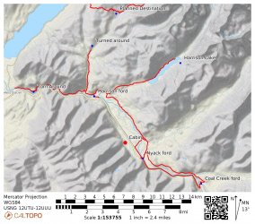
In my research I saw that there was a separate Pack Trail Crossing of the river in the Nyack area. I wanted to give this a try. The beta I had said "32 inches and not swift flow." Well......I have gone through a range of emotions about this little sidebar of a route. Initially I thought the beta was incomplete thus I got off track. Then I thought I completely misread the beta thus got myself into a mess. In the end (a week later) I think it all came down to an overly cropped photo that I was using on the day. If I had not cropped the crap out the photo I was packing I might have gone precisely where I wanted to go. Would I have found the "32 inches of not swift flow."? Who knows!!!!
This screenshot is of the route I actually took in red. The Pack Trail is in blue. It is followed by the overly cropped photo that I was packing with me.

I had cropped ALL perspective out of this photo.

The trail dropped down a good size slope and came out at Nyack Creek. There was no sign/guidance as to what I should do. There was a brushy island in front of me so the view directly across the creek was blocked. Obviously, with that first photo above, I should have gone directly across the creek and found a trail on the other side. Instead I headed downstream to the river. Oh well. I wouldn't have a story if things would have gone properly.

I quickly reached the river and started looking for that glorious "32 inches of not swift". It was not here!! Upstream I had a series of gravel bars with a swift channel that had to eventuallly be breached.

Downstream it was a single channel but the middle of it was screaming not to try it. I learned that being able to see the rocks on the bottom of the river were a measurement of clarity, not of depth. Then you factor in unknown swiftness and it becomes quite the mathematical problem for a 63 year old 160 pound body.

Not wanting to reverse my route back up the slope and through the chest deep forest, I believed that the gravel bars were my best bet. I could sidle my way around problem areas. I had a few extremely swift channels but they were shallow. But that last channel was always looming to be conquered.

This is a shot back across that final channel. I am safe. I headed across because I could make out the bottom all the way. I knew the water was gonna get swift but turned my concentration up to 11 and set out. Making sure that I always had three strong points of contact with my feet and trekking poles. It was a fight but I made it. The water was easily waist deep and with the force of the water it was splashing against my belly. I was too busy doing the ford to get overly scared. I don't care to do that again!!! Now is a good time to mention these trekking poles I had. In May I found them in a closet. Jeff didn't know anything about them. Scott, sort of, remembered finding them or some story but immediately forgetting them. These poles were like finding an unwrapped Christmas present. In both my June trip and this week in August I was only able to do some things because of these trekking poles that miraculously showed up in my closet.

On day two I headed back to the Nyack Crossing. Mt. Stimson looming!

I got across the river and sat to change into my hiking boots. I had forgotten my hiking socks!!!! So......back across the river to my car, take the 4 minute ride back to the cabin to get my socks. Ha.
I eventually took the South Boundary Trail south towards Coal Creek. This section of trail went a bit more inland. Thus was spectacularly overgrown. One stretch was 45 minutes of chest high adventure. I am not proud. If I felt like hollering every minute to announce my presence......I did. I don't hike in Glacier to see bears.

Yep......trail

There was an occasional orange blaze


In the morning Thimbleberries taste like they came straight out of the fridge!

Enjoying the detail of a forest walk.

The blessed Huckleberry

The "blessed" trail

The wonderful Middle Fork


My plans had been to hike to the Coal Creek ford of the Middle Fork, turn around and retrace my steps. But as the morning progress I felt that there was nothing that I was dying to see going in the opposite direction. I knew the crossing was near HWY 2 so I began thinking about road walking.

The ford of Coal Creek.


Smoky haze of the mountains.

This is looking back across the ford of the Middle Fork that I had just completed. You can barely make out an orange blaze on the other side. The trail status report said "36 inches deep semi-swift." That was about right. Took some time to insure that my feet wouldn't sweep away.

I then road walked the five miles back to my car. What would probably had taken me 4 hours in the forest took only 2 hours. That was a good deal! A factoid worth noting. I have driven HWY 2 a hundred times. During this week I was rarely beyond a mile away from it, but due to the river barrier and the remoteness and lack of maintenance of the trails I was in a "wilderness".

I was sort of beat up from my two days so I took day 3 off to scout the way across the river at the Harrison ford. The beta I had wasn't very specific. Essentially, pick the best crossing in a 200 yard section of the river.
Upon arriving to the river I saw there was a guy fishing the opposite bank. So I decided to watch him and let him show me how he got over there. Pretty lazy.....I agree. And the longer it played out the more self conscious I became about it. How I began to feel like I was stalking this guy. I could have called out to him and just asked but......no. Didn't want to intrude. I watched a parade of rafts pass me. Catching snippets of their talk. Entertaining in a channel surfing kind of way. One guy was talking about his sled dogs in Alaska. So random.


I eventually gave up on the fisherman. He went downstream, then upstream, never crossing over that final channel on my side. I started reading the river, like I should have done from the start and came up with a likely spot. Before I left I went to the far downstream section of the "ford". Staring at the river I could see all the way across. The water looked peaceful. Feeling stupid I realized that I had my water shoes and trekking poles strapped to my back. "Just put your shoes on Harry and walk into the water!!!!" I was 20 feet in the water and I looked upstream and saw two rafts coming towards me. Oops. I didn't feel rushed and hopefully they didn't have to do any maneuvering to slow down. I reached the other side, raised my trekking poles above my head and they gave me a cheer because I had made it. I apologized for not looking both ways before I stepped out into the river. I would ford in this spot for the remainder of the week.

Looking upstream

I was settling in for a night of the Olympics and I went "when are smoky skies a positive thing? At sunset!" So I jumped in the car and headed for Logan Pass.
I took this photo on June 7, 2021.

From the same spot on August 2, 2021


I had a mix of clouds and smoke so the evening didn't turn out like I had hoped, but it was still wonderful!!!!


Day 4 was going to be a long 15 mile day up Lincoln Creek. I wanted to reach the Lincoln Lake Trail Junction that I had hiked in 2014. Connecting the dots on my map. I woke up to quite a fog.


Crossing the river in the fog was such an incredible experience. I could barely make out ghost trees across the river. It was like I was moving in a bubble of clear space.

I believe that the Lincoln Creek Trail has no purpose. There is a more direct (though uglier elevation) route to Lincoln Lake. It doesn't go anywhere BUT to Lincoln Lake. So, it surely doesn't get much use. Just the type of trail I love to take and mark off on my map. I absolutely enjoyed this trail......until I didn't. Ever changing environment, the fog, views of the creek. Pleasant elevation gain.
I got across the river and had to find my way to the South Boundary Trail. I had a string of orange ribbons hanging in trees to guide me. The usefulness of these ribbons play out on a story later in the day.


Lincoln Creek


Sun trying to break through the fog.


Indian Paintbrush in the middle of the trail

I really enjoyed this trail!!


Half way into the hike there were three fords of Lincoln Creek. I believe that this 1st ford has to be one of the prettiest places ever.

Fireweed started becoming prevalent.

I walked up to what I came to call a Rocky Mountain Cairn. This is not THE cairn but another one that I am including just for narrative sake.

I knew that this pile of rocks was telling me something. But I looked around and saw nothing. Not another cairn. Not an orange blaze. Not a social trail. Nothing. All I saw was that the trail that I had been following for hours continued by it. Unmarred, unhindered.
Well.....it shortly led to this.

I could see the trail continuing through the down falls so onward I went. Assuming.........I don't know what I was assuming any more.

It was a rats nest. Always seemingly leading back to "the trail"

I spent one hour getting into Hell and finding my way back out of it. I eventually reached what I believed to be the end of it (standing trees) only to find more trees and much much thicker bush. Any psychic link to the trail was lost. This type of terrain is frightening. Knowing that you are one weak branch away from falling and impaling yourself. Relying on my trekking poles to come away with only two rips in my pants and couple owies on my right hand. I was expecting my trekking pole to break at any moment. Coming out I found myself loosing focus. I would reach an obstacle and start breaking off all of the branches that would give instead of thinking it out. Sigh!

I eventually got back to the cairn but I knew my day was done so I didn't spend any additional time trying to "read" what that f'n pile of rocks was saying to me. I am sure it was related to the 2nd ford of Lincoln Creek. You look on the maps and the trail takes a definite 90 degree turn to reach that ford. Why were there no orange blazes like I had seen early by the river? Why was the cairn not directly in the (what I assume) is an abandoned trail? Why was that trail not hidden by simply dragging tree branches across it. A simple five minute fix!!!!!! The option to go past that cairn should not even be an option.
So I head back down the trail not feeling defeated. I could accept that I could not read what the area was saying. I am not some wilderness pathfinder. I was just ticked off because there should not have been anything complicated to read. This is a park service trail after all. If you go through the labor of stacking up all those rocks it should be obvious what you are telling people.

Later I am sitting in the trail enjoying the view when two backpackers walk up. Was I surprise. They were camping at Lincoln Lake that night. I withheld my critique of "why are you on this trail?" and proceeded to tell them of my experience. They had not even known about the three fords because they had simply walked into the permit office and asked what was available and received Lincoln Lake. So they had a destination but no real forethought into their trip. I told them that if I did anything wrong it was failing to read the signs to the 2nd ford. So when we split up they knew to be watchful for that obvious pile of rocks and scour that area to read their way to the ford. I walked away feeling happy because I felt that I had used my misfortune to help those girls get to their camp site. That their young eyes could read what I had overlooked.
Sky is a bit smoky.


Day 5 was hiking the South Boundary Trail towards West Glacier. Completing a section of trail Jeff and I had started (from West Glacier) in 2014
Absolutely glorious morning.


The Middle Fork narrows up a bit through this section. It gives the rafting tourist a bit of a thrill


Sun hitting the stump!


Look at those big trees.


DEEP pools

The early morning rafters finally reaching the faster sections

This section of forest just west of Lincoln Creek enthralled me. Thousands of pencil straight trees.

I am crossing the suspension bridge across Lincoln Creek and who is on the other side but the two backpackers from the previous day. They had been unable to get pass the cairn and spent the night at a flat spot along the trail. "Our entire itinerary was shot because we couldn't get to Lincoln Lake." They were on their way out to give someone holy heck. I was heartbroken. I thought I had beaten that damn spot but these two girls couldn't figure it out either. Sadness. A part of me wants to get back there and figure out the puzzle.

That night I drove back into the park for sunset again. This time stopping at the Loop. I had a much better/different success.


Day 6. The last day. In all my dreams of this week there was only one true destination. Harrison Lake. I looked at it from every angle trying to figure out how I could get to this lake withing fording the river and it just wasn't feasible. I put off this hike, during the week, because I wanted optimum conditions. I was praying that a front would come through and blow all this smoke away. The lake penetrated the mountains so......I had mountains to see. To finally reach Harrison Lake and not being to experience the mountains could have been heartbreaking. But I couldn't put off the hike any more.
It is a bit thrilling having a freight train barreling out of the darkness at you.

The last glorious morning ford of the Middle Fork of the Flathead River.


The red glow on the leaves

The word "pleasant" could not leave my thoughts. It was such a pleasant morning. The trail immediate climbed a bunch so it hopefully got me out of the thick nasty stuff. I felt like I was on a real trail.
Some more red glow.


The trail could still get tight but it was more tree like instead of bush.

I believe I gave out an exultant cheer when I reached the foot of Harrison Lake. When you finally reach a place that you have spent so much time thinking about!!

The lake sits Northeast to Southwest so the lighting was quite rough. But it was what I had so I made the best of it.


I at least had silhouettes of the mountains. Better than a veil of white nothing. With hopes that as the sun moved across the sky it might improve.


I met another couple. Only the 3rd and 4th people I had met on the trails all week. They said they were "goat counters". They said they hadn't seen any and we all laughed, because how can you see a goat with this air quality. I asked their advice about the route ahead. "Is it worth going pass the campground?" "Did you follow the primitive trail up to the head of the lake." They advised that I get to the Patrol Cabin a half mile pass the campground since its beach had a bit of shade compared to the campground. They had seen no evidence of a trail beyond the cabin.

I ended up spending 2.5 hours at this beach. It was just so flipping......pleasant. After awhile it struck me. "This is my lake! No one else is out here......no one" I am in Glacier National Park and have this 2 plus mile lake all to myself. I had a Loon that would call every so often. I could give off a bear holler and have it echo back to me across the lake.

This pass intrigued me. It goes up and over into Thompson Canyon which leads into Nyack Canyon. A huge fire started in Thompson Canyon a few years back.

I could walk out into the lake 15 or so feet. Standing on a "beach" of pebbles and look into the abyss of the lake a couple feet away. My view up into the valley beyond was blocked by the shoreline.

Then I noticed that the beach continued so I walked, in the lake, up towards the head of the lake. I got around the corner and the entire available view opened up. There is the head wall.


Details slowing came into view!!!!!


Goodbye beach

Quite a bit different view than I had in the morning!


My final fording of the Middle Fork of the Flathead.

It is wonderful that after all these years I was able to have a truly unique Glacier National Park experience. An experience that I felt would never happen due to the alignment of my visits and flow of the river. I crossed the Middle Fork of the Flathead 14 times. I forded Harrison, Lincoln, and the Nyack Creeks twice. Coal Creek once. It totaled out to 57 miles. I got home and saw that I had taken 823 photos and said "what the hell did I take pictures of!!!!!?????" I must have been determined to document this once in a life time opportunity, even though, all it was mostly, was a "walk in the woods". Thanks for coming along with me.

Last edited:
