Gila Wilderness Trip Report 10/4 - 10/7/25

jholmes01

Member
Joined
Nov 10, 2020
Messages
219
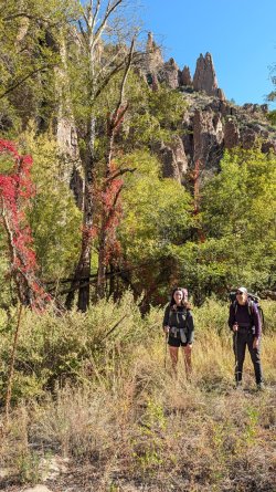
My wife, 14-year-old daughter, and I just completed a fantastic 4-day, 40+ mile loop in the Gila Wilderness—our first time there! The route followed Little Creek up, traversed McKenna Park, and returned via the West Fork of the Gila River. This is truly a special place!

Day 1: Woody's Corral to Little Creek Spring (11 miles)
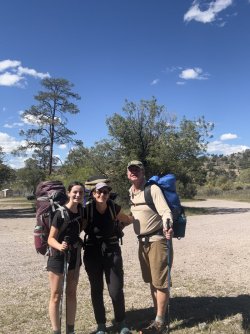
  • Crux Day: We started late (2:20 pm) after driving from Tucson to the Gila Cliff Dwelling NM area. This was the biggest challenge due to heavy packs, limited daylight, and scarce water (info thanks to Gila Trails Information).
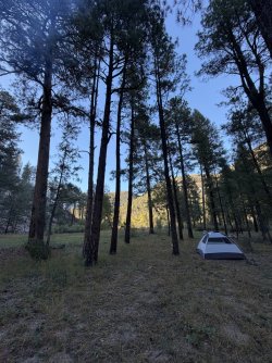
  • Wildlife & Camp: Loaded with 2+ liters of water each, we hiked on well-maintained trails. We spotted the only large mammals of the trip—a herd of whitetail deer—within the first mile. We finally found water and a nice camp spot about 10 miles in, just before dark. We only saw one other group of hikers (a youth group).
IMG_3566.JPGDay 2: Little Creek Spring to White Creek Administrative Site (12 miles)
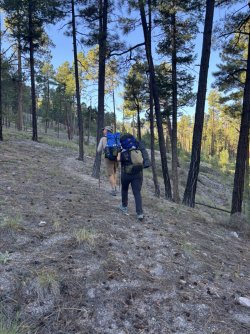
  • High Point: Overnight temperature was about 45F but warmed quickly. After topping off water at Little Creek Spring, we tackled the biggest climb: up and over an 8,600-foot saddle before descending into McKenna Park. The climb was surprisingly gentle.
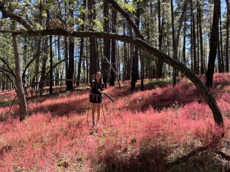
  • McKenna Park: Near the top (∼8,000 feet), we saw a small tarantula. McKenna Park was beautiful—all large trees, little undergrowth, and gentle terrain. It's also known as the 13th most remote spot in the lower 48 wilderness complexes.
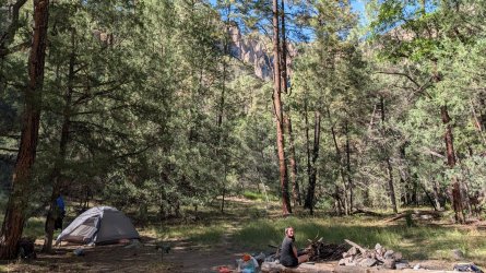
  • The Descent: After 5 miles of traversing the park, we dropped 800 feet in about a mile to the West Fork of the Gila and the decommissioned White Creek Administrative Site. We camped in a nice open area and saw only one other hiker all day.
IMG_3583.JPEGIMG_3597.JPEGIMG_1886.JPEGIMG_3608.JPEGDay 3: Down the West Fork of the Gila (12 miles)
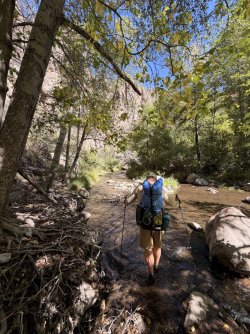
  • Water Crossings: It was a cold night (33F), making for a slow start before the day of dozens of water crossings. We avoided the water at first, but once the canyon narrowed near Hell's Hole Canyon, there was no keeping our feet dry—which felt great as the day warmed up!
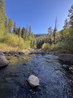
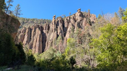
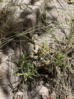
  • Canyon Beauty & Hazards: The river was stunning, featuring beaver dams, plentiful trout, and diverse vegetation (including a lot of poison ivy). We encountered one annoyed Banded Rock Rattlesnake (Crotalus lepidus klauberi).
  • Company: As this was more traveled terrain, we saw more hikers, but still only three groups of two. We found a great campsite after 12 miles.2025-10-06 15.56.44.jpg2025-10-06 12.48.59.jpg
IMG_1900.JPEGIMG_1898.JPEGDay 4: West Fork to Woody's Corral (8 miles)
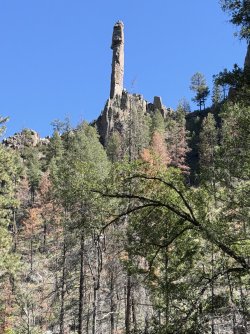
  • Homeward Bound: A slightly warmer night (40F). We packed up for the final 27 water crossings!
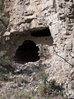
  • Final Sights: The canyon's beauty was non-stop. We spotted a lone coati and the remains of a cliff dwelling. We then popped out of the constricted canyon and were back in the dry pinyon-juniper flats.
  • Exit: A quick couple of miles led to the Gila Cliff Dwellings NM (closed due to the government shutdown), and then a mile road walk brought us back to the vehicle. We celebrated with a late lunch at the highly-recommended Jalisco Cafe in Silver City and were back in Tucson by 5 pm.
IMG_1903.JPEG2025-10-07 09.42.18.jpg
IMG_1913.JPEG
A map of the trip:
Click here to view on CalTopo
This was a fantastic first trip to the Gila, and we will definitely be back.

Jim
 
Last edited:
That looks like a great trip. How come the ladies' packs are twice the size of your pack? :)
 
It's a special place. McKenna Park, certainly, but so many places. I've been going 1-2 times per year for the past 7 years, and came out the day before your trip started (I saw the huge youth group starting their trip!). Go back when there's water running in every spring and unnamed drainage. I came across a 70-something woman who works taking tourist in and she said it was the worst water she's seen in her life. They had to dig out gravel in Little Creek to get enough for their horses. I almost got myself in trouble on the first day and enjoyed a 2-inch mud puddle in the dark after not seeing any water all day. I'm jealous about that coati--I usually see hardly any animals other than elk and deer.
 
Cool hike! maybe someday I'll make it back to the Gila. It's quite the unique place.
 
Great report. I backpacked the river a few years ago. I definitely need to get back and check out some other areas of the wilderness.
 
Last edited:
It's a special place. McKenna Park, certainly, but so many places. I've been going 1-2 times per year for the past 7 years, and came out the day before your trip started (I saw the huge youth group starting their trip!). Go back when there's water running in every spring and unnamed drainage. I came across a 70-something woman who works taking tourist in and she said it was the worst water she's seen in her life. They had to dig out gravel in Little Creek to get enough for their horses. I almost got myself in trouble on the first day and enjoyed a 2-inch mud puddle in the dark after not seeing any water all day. I'm jealous about that coati--I usually see hardly any animals other than elk and deer.
While we enjoyed the West Fork, the less traveled areas (Little Creek and McKenna Park) are what really caught my interest. I saw @Kullaberg63 's Winter Solstice TR and have gathered some ideas from that trip. Any other recommendations for more out of the way areas in the Gila worthy of exploration?
 
While we enjoyed the West Fork, the less traveled areas (Little Creek and McKenna Park) are what really caught my interest. I saw @Kullaberg63 's Winter Solstice TR and have gathered some ideas from that trip. Any other recommendations for more out of the way areas in the Gila worthy of exploration?
Yeah, I've done the lengths of the Middle and West Forks 3-4 times early on and now I spend 90% of my time up on the mesas and in little canyons. Raw Meat Creek, Chicken Coop Canyon, Lilley Park, Clear Creek (especially off-trail downstream) to name a few. I think enough time has passed since the huge fire that the Aldo Leopold Wilderness next door is ripe for more exploration--never been there.
 
Thanks @jholmes01 for the report. I don't know this area and am always eager to learn about new possibilities. It seems to me that you covered a lot of ground in not much time. Are the 3 of you always fast hikers? Or was this route particularly good for a fast pace?

@futurafree you say to go when water's running in every spring and drainage. What months might be best for that?
@Janice, we're generally able to move pretty quickly and were averaging about 2.5 mph over the varied terrain of the loop. We found the terrain and trails outside the West Fork canyon to be pretty easy hiking - good tread, moderate grades, and little route finding. Along the Gila was a different story, with many water crossings, some challenging footing, and a few spots where we had to hunt around a bit for the trail. We're used to more challenging trails in our home area of Southern Arizona and appreciated being able to hike and enjoy the views at the same time in the Gila.

One invaluable source of information on water for us was Gila Trails Info's water updates webpage. I wanted to cross-reference that information source and called the USFS District office in Silver City to ask them about water. They referred me back to the Gila Trails Info site, so I guess that's pretty much the gold standard. Gila Trail Info also has a Facebook group with many updates on trail and water conditions in the Gila.
Thanks - great to know all this and will file it away for the future...
 
Thanks @jholmes01 for the report. I don't know this area and am always eager to learn about new possibilities. It seems to me that you covered a lot of ground in not much time. Are the 3 of you always fast hikers? Or was this route particularly good for a fast pace?

@futurafree you say to go when water's running in every spring and drainage. What months might be best for that?
Usually April/May and often Sept/Oct if the seasonal rains cooperated. It's just had an historically terrible drought lately. You don't really need every single drainage running because in normal times there are plenty of springs and beautiful clear creeks.
 
@Janice Water was a challenge on the 100 mile loop we did last Christmas on our first visit to the Gila. A few factors helped: the info on the already linked resource, the cold days, and prior experience with similar issues in Utah. We had all dry camps.

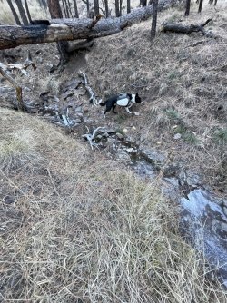
This is representative of how water sources typically looked. Most of them had more ice than puddles:
IMG_6948.JPG
 
Last edited:

Don't like ads? Become a BCP Supporting Member and kiss them all goodbye. Click here for more info.

Back
Top