- Joined
- Dec 23, 2013
- Messages
- 4,311
Okay, lets see if I can whip out a trip report of my time in the Land of Enchantment last week.
On April 17th, I took a nice 10.5 hour drive down to Placitas, New Mexico, which is located roughly 25 miles north of Albuquerque. Once there, I stayed with a friend who would join me on a backpacking trip along the Gila River in the Gila Wilderness in southwest New Mexico.
We woke up bright and early at 6:00 am on the 18th and headed south along I-25 with two vehicles. We stopped at Weck's for breakfast in Los Lunas, where I ordered the spicy carne breakfast burrito, smothered in red chili. The burrito came with a side of hash browns, and I ordered a milk to go with my meal. Weck's had a lot of Elvis and Marylin Monroe memorabilia on their walls, which I thought was kind of cool. Since I had an Elvis cd with me in the car on the drive down, it seemed kind of fitting to me.
After breakfast, we hopped back on 25 and headed south through Socorro and San Antonio before stopping in Truth or Consequences to get some fuel for the thirsty Subaru. While gassing up, Ryan, my friend (can you believe that?) told me that the town actually changed its name to the old TV show called Truth or Consequences. Wow! I never knew.
Once the Subaru had a full belly, we continue south until we reached the intersection of State Road 152. We left the interstate and headed west along 152, through the small communities of Hillsboro and Kingston before reaching the cutoff of State Road 35, which would lead us to State Road 15 which runs north out just outside of Silver City.
Now I think here is where I need to interject that it is only 75 miles from the exit off of I-25 to Silver City, but the road is so twisty and curvy, that it takes about three hours to drive it. Now don't get me wrong, it was a beautiful drive, just not a fast drive. It might have been the curviest road that I have ever driven.
The cutoff 35 took us through Mimbres, which I thought was quite pretty, and like I said before on to SR 15. Once on 15, we headed north towards the Gila Hot Springs. AS we gained elevation, the views opened up of the Gila National Forest and the wilderness area. Just before reaching the springs and the bridge over the Gila River, we turned off into the Grapevine Campground, and on to our extraction point for the Gila River Trail.
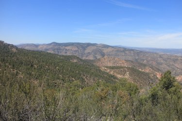
A look off into the Gila Wilderness
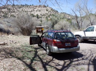
The Subaru at the extraction point hopefully.
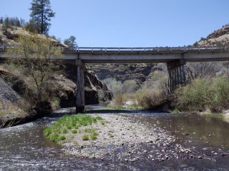
The bridge over the Gila, where we will have to ford one last time to reach the Subaru.
Leaving the Subaru at trail's end, we hopped into Ryan's truck and headed south towards Silver City.
Ryan told me that he had forgotten his toothbrush and toothpaste, so we made a stop in Silver City so that he could buy them, before driving on the trailhead.
After leaving Silver City, we took Highway 180 northwest for about 25 miles until we reached the exit (SR 211) we needed to access the Turkey Creek Road. Once on the Turkey Creek Road, we made our way slowly along the forest service road. This stretch was only like 7.5 miles long, but again with road conditions it was an extremely slow go. I began to wonder if my Subaru would be able to make it down to Turkey Creek to pick Ryan's truck back up when we were done. I was particularly concerned about the Sube's chances as we headed down Brushy Canyon. Of course, Turkey Creek Road had some marvelous views of the national forest and some of the wilderness area as we made our way along.
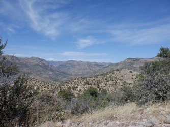
View into the wilderness from the Turkey Creek Road - Watson Mountain to the left
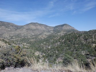
Ditto. Unnamed peaks in the wilderness
We arrived at the parking area, if you can call it that, about 4:10 pm in the afternoon, and we hit the trail a little bit after 4:30 pm. Now I had assumed we would reach the trailhead sometime between two and three in the afternoon, but since it was essentially another ten hour drive, we ended up cutting our hiking distance from five miles down to about 3.5 for the evening.
I might mention that the temperature was 89 degrees when we arrived at the trailhead, and I'm guessing that there was a pretty good chance that it crept up into the low 90's before the sun stopped shining down into the canyon. This was typical of our first three days; pretty hot by the afternoon. Fortunately, the last two days cooled down to the low 80's as a mild cold front came through.
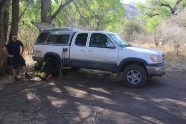
Ryan's truck at the Lower Gila River Trailhead
Some trip information:
Total mileage - 32.5 miles
River Crossings - 81 total
Elevation Gain - approximately 500 feet over the 32 miles. We were heading upriver.
Water level of the Gila - knee deep to waist deep in places for the first couple of days, then once we passed side streams further up, maybe mid calf to just over the knee
Trail condition - There is an old trail that runs along the Gila, and we found that it was worth the effort to find at each river crossing. This made the going a lot easier, though staying on the trail was easier said than done in many places along our route.
Boot and sock conditions - After the first river crossing, my boots and soaks were wet the entire time - no way around it.
Tree conditions - The cottonwoods had there leaves for the most part while the sycamores were still budding.
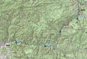
Overview map
Day 1 - 3.5 miles
The trail starts out as an old Jeep road that people still use up until one reaches the wilderness boundary.
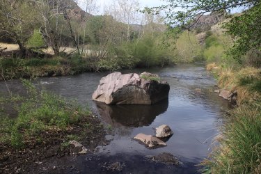
The Gila River
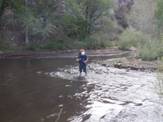
Our first ford of the Gila
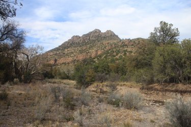
Looking back on Hidden Pasture
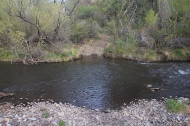
Still following the old Jeep road
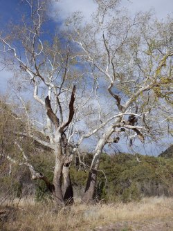
The stark contrast of the just budding white sycamore tree. I thought these trees were just gorgeous
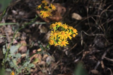
Some groundsel along the trail
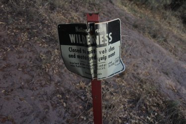
Reaching the wilderness boundary
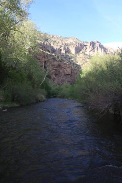
The Gila
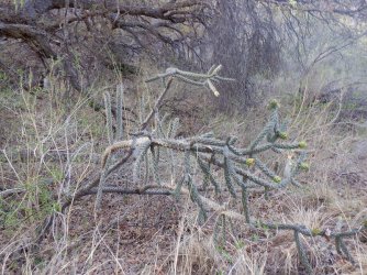
Lots of Tree Cholla on our trip
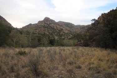
We had already lost the trail at this point
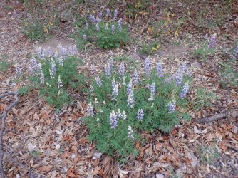
Lupine
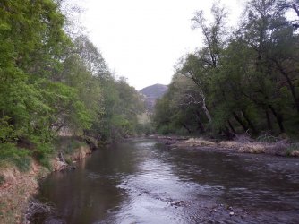
Gila River
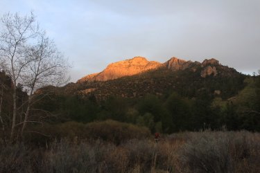
Evening sun on the ridge
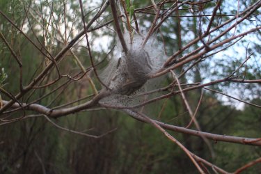
Caterpillar nest
After roughly 3.5 miles we found a spot to pitch out tents and have some supper. As dusk settled in around us, we had a chorus of frogs croaking all around us. The frogs soon gave way to bats and the call of the Mexican spotted owl, which was a real treat for me.
Day 2 - 9.5 Miles
On day two, we needed to make up some mileage from getting a late start the day before. This was our toughest day, mainly due to the heat, and losing the trail occasionally, which meant going through willows, reeds, and sometimes thorny shrubs that called the canyon home.
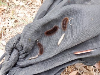
When I got up on our second day, I had some "want-to-be" hitchhikers on my Ursack
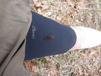
One was curious enough, or maybe brave is the right word, to want to find out what was underneath the kilt.
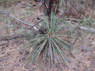
A type of Yucca. Some of these were blooming up the hillsides, but I didn't see any blooming on the canyon floor.
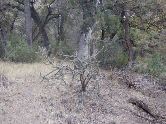
These chollas were pretty neat.
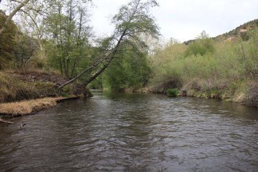
Fording the Gila. I took a picture of every ford.
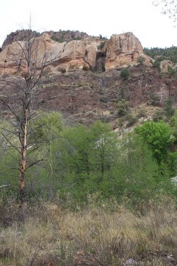
View from the canyon floor with the cottonwoods having their leaves
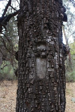
We ran into three of these "I" blazes over the 32 miles for the old trail. The stand out
nicely against the bark of the alligator juniper.
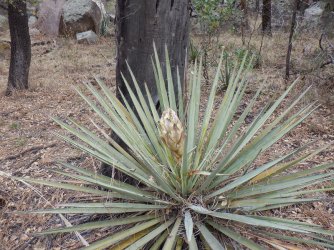
Another yucca about to bloom
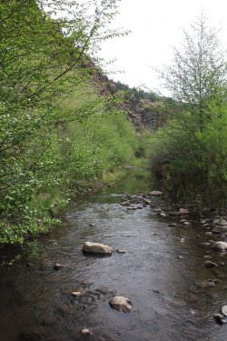
More Gila for you
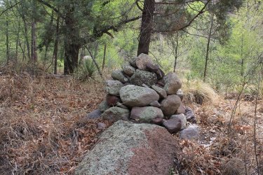
Occasionally, we ran into large cairns, which at times were very helpful, especially when crossing to the other side of the river,
and sometimes not.
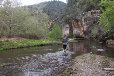
Ryan heading across
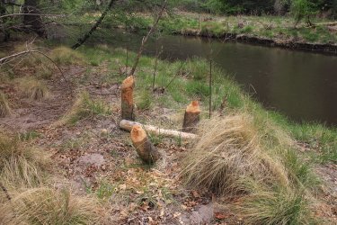
Looks like the work of beavers, but I never saw them, or even a damn or a lodge.
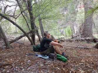
Taking a break in the shade of the afternoon heat.
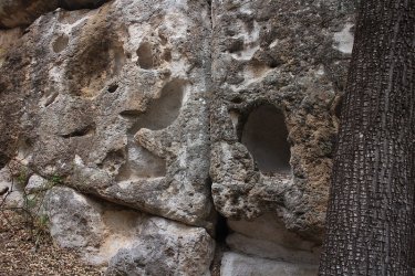
Holes carved by wind in the rock
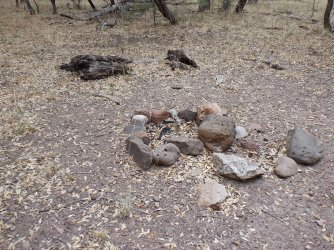
We ran into a number of old firepits along our route - maybe twelve of them.
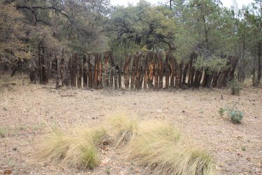
An old corral from the cattle days
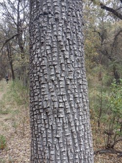
Some more alligator bark
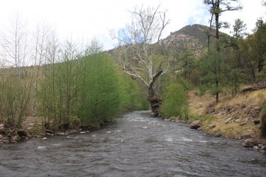
Another ford of the Gila, with an Arizona Sycamore heeding me to come closer.
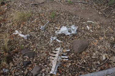
Cow remains
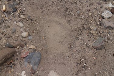
Black bear track - we saw many sets of prints along our route, unfortunately no bears to go with them.
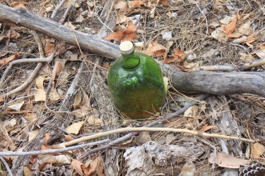
Hooch! What kind do you think it is @Rockskipper?
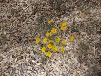
Not sure what this yellow wildflower is. Help flower experts.
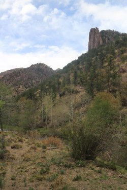
View from the trail
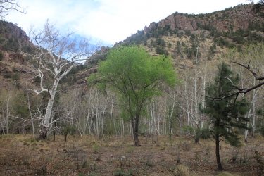
Love the contrast between the cottonwood and the white sycamores
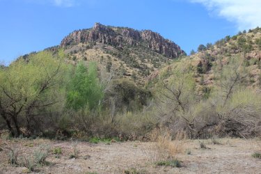
View from the trail towards the north ridge
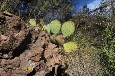
Lots of prickly pear cacti too
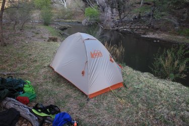
Tent site for night number two.
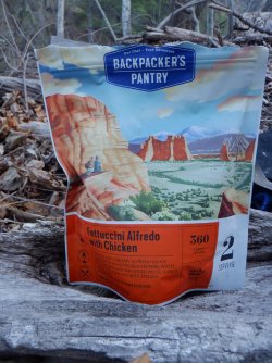
One of my favorite freeze dried meals for dinner.
Day 3 - 9.0 Miles
Another hot day ahead, though by three o'clock the wind had really started blowing, which made the river crossing a little trickier. This wind was not a cool wind unfortunately, so we had to wait for the minor cold front to pass before we got any relief.
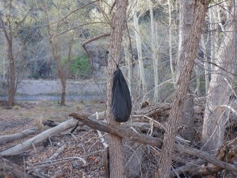
Ursack in the morning. I wonder if it has any hitchhikers this morning?
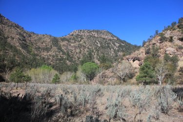
The way ahead
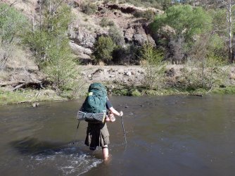
A Scat ford. The wind was not blowing at this point.
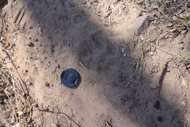
A Mexican Lobo
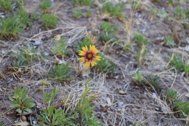
Red Dome Blanketflower
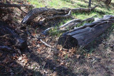
Sewn logs! A good sign.
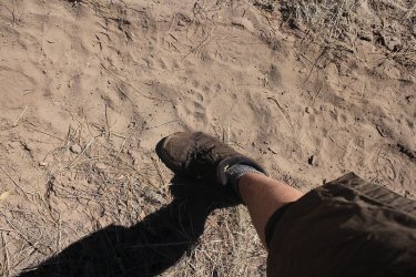
More black bear tracks. My Merrels are size 11 wide.
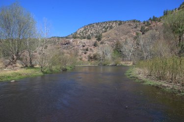
More Gila
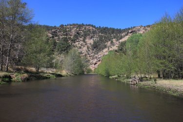
And more
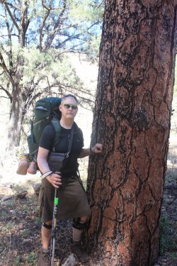
Majestic ponderosa pine
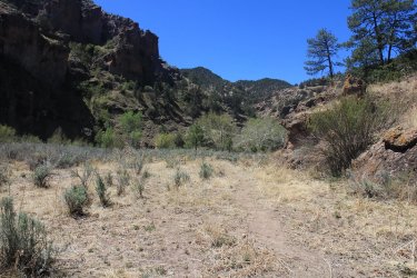
On the trail
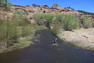
View of Ryan crossing from above
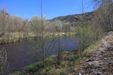
Cottonwoods line the river
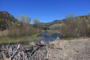
Approaching another ford.
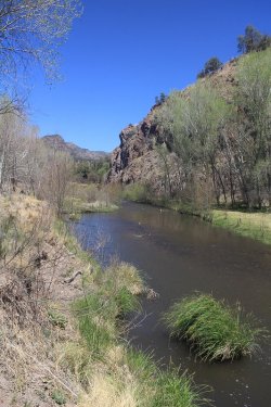
The Gila
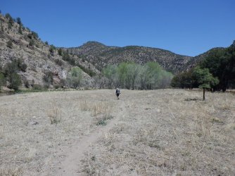
Ryan out in front. Ryan took a total of three pictures, while I took 1105.
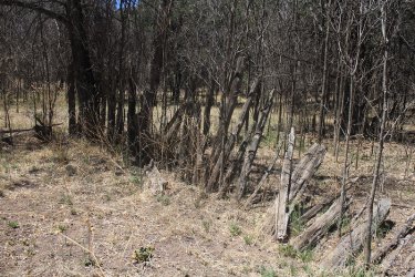
Our second old corral
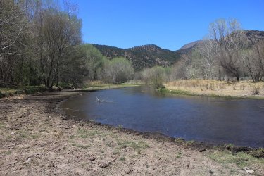
About to cross again
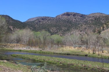
View from the river of the southern ridge
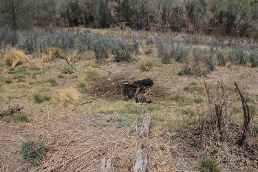
Cow carcass
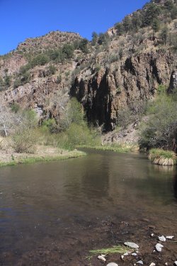
Gila River
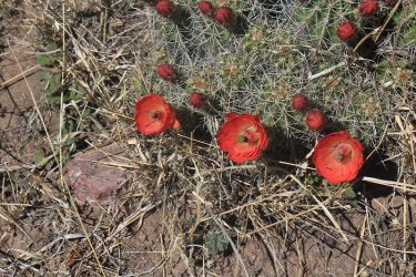
Some hedgehog cacti
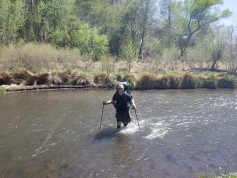
Another Scat crossing
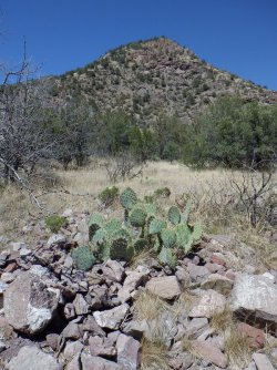
Prickly pear with a view
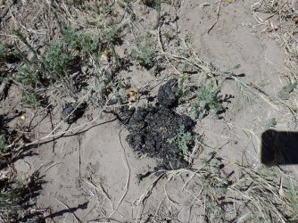
Can't have a trip report without scat! Black bear scat that is.
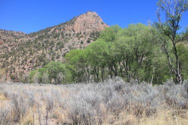
View from the trail
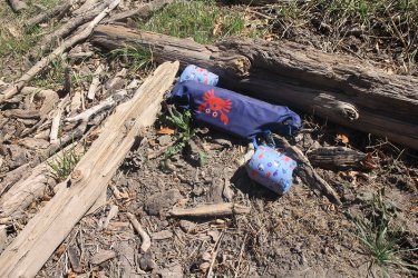
Not sure where these flotation devices showed up from. I think @Rockskipper was trying to float down the Gila to join on our quest.
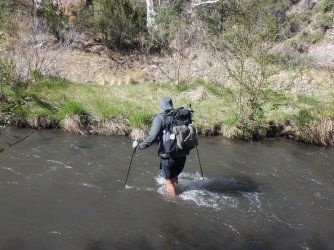
The first of three CDT hikers that we encountered. They all appeared to be going twice as fast as the Scatman. He told us the the
Gila River Trail is an alternate section of the CDT.
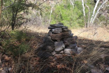
Another one of the large cairns
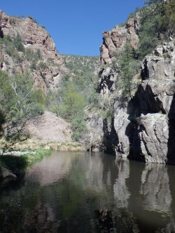
Canyon narrowing a bit.
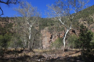
More contrast with the sycamores
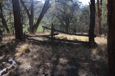
Yet another old corral
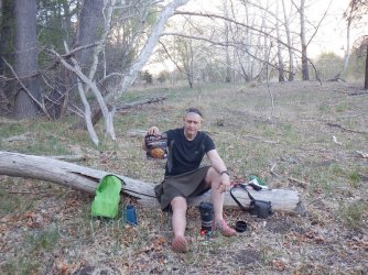
Peak's Chicken Teriyaki and Rice for my third night's dinner. I found it to be reasonable.
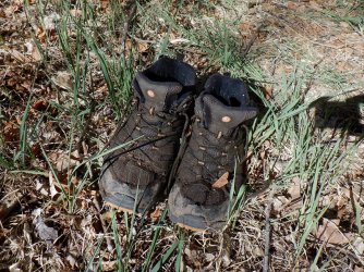
My poor wet boots
Day 4 - 7.0 Miles
Well, it had cooled off some overnight, which was a welcome change for us. On day four, we would run into another CDT hiker as we made our way upriver. With less mileage and cooler temps, this was an easy day. Though I might add, we did lose the trail many times on this seven mile stretch.
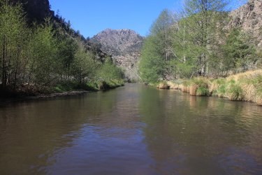
Looking back the way we had come
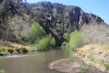
Crossing number ?
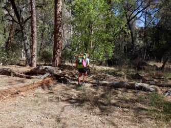
Our second CDT hiker. Her trail name was Grit. I asked her when she planned to be going through Yellowstone later in the summer,
and she told me she planned to pass through the Park on the third week of July. It just so happens that I will be with my family at
Shoshone Lake at that time. Is it possible that there could be a Grit and Scatman sequel?
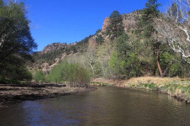
Another ford, though this time with Grit
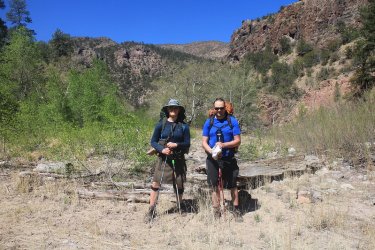
Two mean ol' hombres! Photo courtesy of Grit
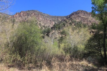
View from off-trail
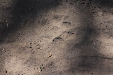
Another lobo track
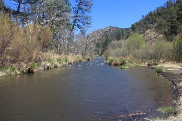
Another ford
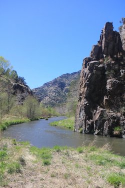
Canyon narrows again
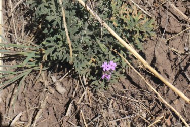
Some phlox
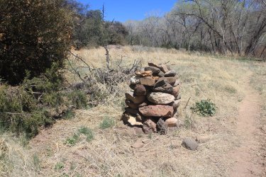
A really big cairn this time.
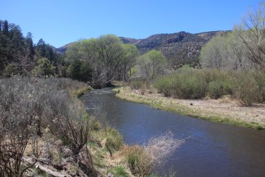
Up above the river slightly, still haven't found the trail
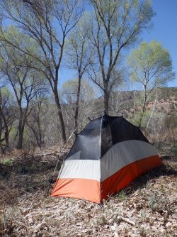
Camping among the cottonwoods on night four
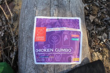
You know, I asked myself, "What could people in Maine know about gumbo?" Well, the answer is nothing - not good at all. I would
only eat this again if I were starving.
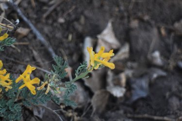
Not the best picture, but some golden corydalis at camp.
Day 5 - 3.5 Miles
Day five was supposed to be quick and sweet since we had to go get Ryan's truck and then head all the way back to Placitas. The three and a half miles were easy enough, but we met up with our third CDT hiker and he wanted to talk for a bit. Then we ran into a group of three Native Americans that I wanted to talk to. One of them had hiked every trail in the Gila Wilderness except for one, and he was going to hike it on this trip. They were all extremely knowledgeable of the area so I chatted with them for a long time. They told us that the cow remains and carcass were from a herd of feral cows, and that they are very weary of people. Anyway, I told them that I was going to put up a trip report on this site, and if they were interested to come check it out. Hopefully one of them will.
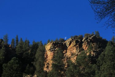
The moon in the early morning from camp
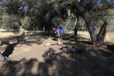
Our third CDT hiker in the shade.
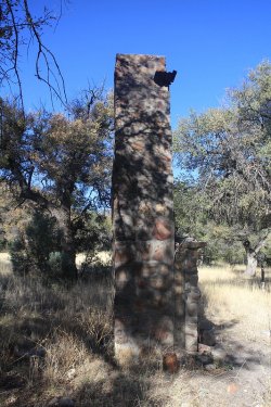
Chimney to an old homestead
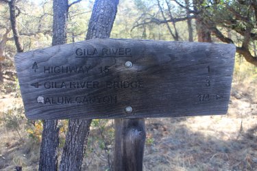
Our first sign of the entire trip with three miles to go.
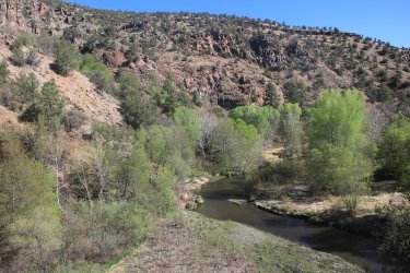
The Gila River
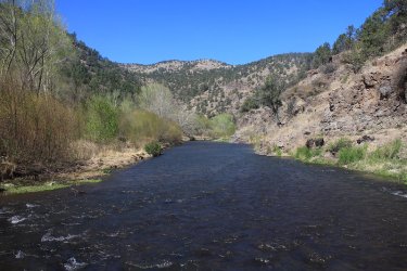
Looking back from where we came
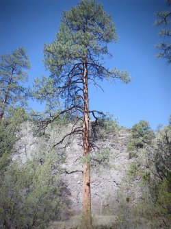
Another good looking ponderosa pine
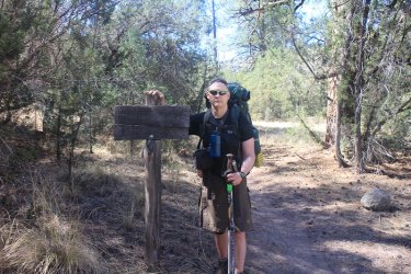
Almost at the finish line - sign # 2 of the day, and trip
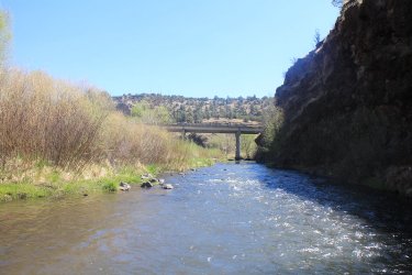
The bridge is within site!
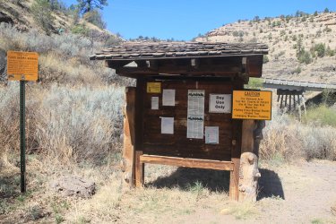
The information board at the trailhead
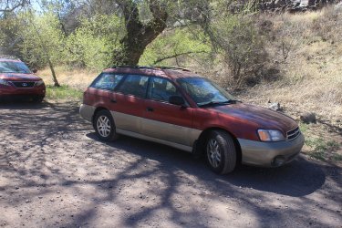
The Sube!
Now it was back to get Ryan's Truck at Turkey Creek.
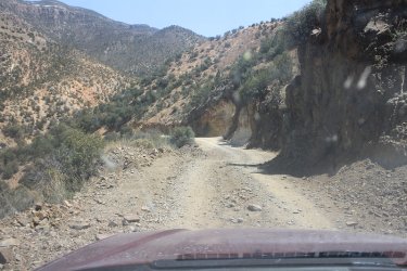
Taking it slow down to the Lower Gila River Trailhead
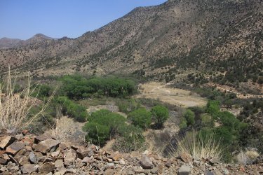
View of the canyon bottom from Turkey Creek Road
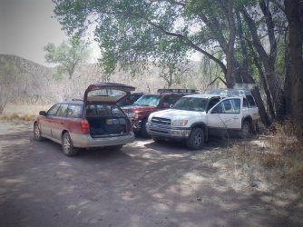
Made it!
After picking up Ryan's truck, we changed out of our wet boots and socks and headed back to Silvery City for a celebratory meal.
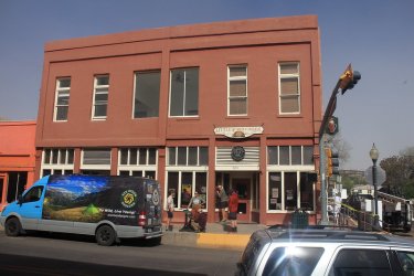
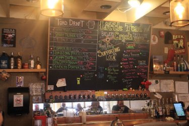
The local watering hole in Silver City is the Little Toad Creek Brewery and Distillery
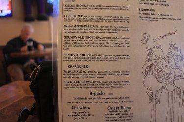
And look what is on the beer menu - Pendejo Porter!
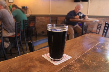
Mighty fine.
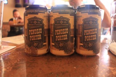
And maybe a six pack for the road?
I had a bacon cheeseburger with fries for dinner, but I forgot to take a picture of it. Typical!
After eating, we headed back to Placitas and had to endure a nasty dust storm for 306 miles. We arrived back at Ryan's house around 9:45 at night, and as we were turning into his neighborhood, we saw a black bear by the side of the road. Nice way to end a trip.
On the 24th, I got an early start an drove back to Salt Lake in order to attend the Basque Dinner/Dance at 6:00 pm. Along with wonderful food, I picked up this guy for future hikes.
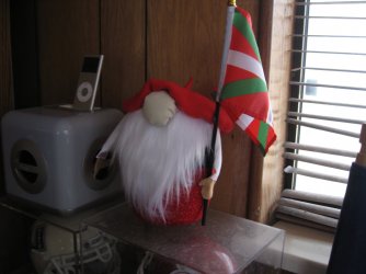
The Basque Gnome.
The End.
On April 17th, I took a nice 10.5 hour drive down to Placitas, New Mexico, which is located roughly 25 miles north of Albuquerque. Once there, I stayed with a friend who would join me on a backpacking trip along the Gila River in the Gila Wilderness in southwest New Mexico.
We woke up bright and early at 6:00 am on the 18th and headed south along I-25 with two vehicles. We stopped at Weck's for breakfast in Los Lunas, where I ordered the spicy carne breakfast burrito, smothered in red chili. The burrito came with a side of hash browns, and I ordered a milk to go with my meal. Weck's had a lot of Elvis and Marylin Monroe memorabilia on their walls, which I thought was kind of cool. Since I had an Elvis cd with me in the car on the drive down, it seemed kind of fitting to me.
After breakfast, we hopped back on 25 and headed south through Socorro and San Antonio before stopping in Truth or Consequences to get some fuel for the thirsty Subaru. While gassing up, Ryan, my friend (can you believe that?) told me that the town actually changed its name to the old TV show called Truth or Consequences. Wow! I never knew.
Once the Subaru had a full belly, we continue south until we reached the intersection of State Road 152. We left the interstate and headed west along 152, through the small communities of Hillsboro and Kingston before reaching the cutoff of State Road 35, which would lead us to State Road 15 which runs north out just outside of Silver City.
Now I think here is where I need to interject that it is only 75 miles from the exit off of I-25 to Silver City, but the road is so twisty and curvy, that it takes about three hours to drive it. Now don't get me wrong, it was a beautiful drive, just not a fast drive. It might have been the curviest road that I have ever driven.
The cutoff 35 took us through Mimbres, which I thought was quite pretty, and like I said before on to SR 15. Once on 15, we headed north towards the Gila Hot Springs. AS we gained elevation, the views opened up of the Gila National Forest and the wilderness area. Just before reaching the springs and the bridge over the Gila River, we turned off into the Grapevine Campground, and on to our extraction point for the Gila River Trail.

A look off into the Gila Wilderness

The Subaru at the extraction point hopefully.

The bridge over the Gila, where we will have to ford one last time to reach the Subaru.
Leaving the Subaru at trail's end, we hopped into Ryan's truck and headed south towards Silver City.
Ryan told me that he had forgotten his toothbrush and toothpaste, so we made a stop in Silver City so that he could buy them, before driving on the trailhead.
After leaving Silver City, we took Highway 180 northwest for about 25 miles until we reached the exit (SR 211) we needed to access the Turkey Creek Road. Once on the Turkey Creek Road, we made our way slowly along the forest service road. This stretch was only like 7.5 miles long, but again with road conditions it was an extremely slow go. I began to wonder if my Subaru would be able to make it down to Turkey Creek to pick Ryan's truck back up when we were done. I was particularly concerned about the Sube's chances as we headed down Brushy Canyon. Of course, Turkey Creek Road had some marvelous views of the national forest and some of the wilderness area as we made our way along.

View into the wilderness from the Turkey Creek Road - Watson Mountain to the left

Ditto. Unnamed peaks in the wilderness
We arrived at the parking area, if you can call it that, about 4:10 pm in the afternoon, and we hit the trail a little bit after 4:30 pm. Now I had assumed we would reach the trailhead sometime between two and three in the afternoon, but since it was essentially another ten hour drive, we ended up cutting our hiking distance from five miles down to about 3.5 for the evening.
I might mention that the temperature was 89 degrees when we arrived at the trailhead, and I'm guessing that there was a pretty good chance that it crept up into the low 90's before the sun stopped shining down into the canyon. This was typical of our first three days; pretty hot by the afternoon. Fortunately, the last two days cooled down to the low 80's as a mild cold front came through.

Ryan's truck at the Lower Gila River Trailhead
Some trip information:
Total mileage - 32.5 miles
River Crossings - 81 total
Elevation Gain - approximately 500 feet over the 32 miles. We were heading upriver.
Water level of the Gila - knee deep to waist deep in places for the first couple of days, then once we passed side streams further up, maybe mid calf to just over the knee
Trail condition - There is an old trail that runs along the Gila, and we found that it was worth the effort to find at each river crossing. This made the going a lot easier, though staying on the trail was easier said than done in many places along our route.
Boot and sock conditions - After the first river crossing, my boots and soaks were wet the entire time - no way around it.
Tree conditions - The cottonwoods had there leaves for the most part while the sycamores were still budding.

Overview map
Day 1 - 3.5 miles
The trail starts out as an old Jeep road that people still use up until one reaches the wilderness boundary.

The Gila River

Our first ford of the Gila

Looking back on Hidden Pasture

Still following the old Jeep road

The stark contrast of the just budding white sycamore tree. I thought these trees were just gorgeous

Some groundsel along the trail

Reaching the wilderness boundary

The Gila

Lots of Tree Cholla on our trip

We had already lost the trail at this point

Lupine

Gila River

Evening sun on the ridge

Caterpillar nest
After roughly 3.5 miles we found a spot to pitch out tents and have some supper. As dusk settled in around us, we had a chorus of frogs croaking all around us. The frogs soon gave way to bats and the call of the Mexican spotted owl, which was a real treat for me.
Day 2 - 9.5 Miles
On day two, we needed to make up some mileage from getting a late start the day before. This was our toughest day, mainly due to the heat, and losing the trail occasionally, which meant going through willows, reeds, and sometimes thorny shrubs that called the canyon home.

When I got up on our second day, I had some "want-to-be" hitchhikers on my Ursack

One was curious enough, or maybe brave is the right word, to want to find out what was underneath the kilt.

A type of Yucca. Some of these were blooming up the hillsides, but I didn't see any blooming on the canyon floor.

These chollas were pretty neat.

Fording the Gila. I took a picture of every ford.

View from the canyon floor with the cottonwoods having their leaves

We ran into three of these "I" blazes over the 32 miles for the old trail. The stand out
nicely against the bark of the alligator juniper.

Another yucca about to bloom

More Gila for you

Occasionally, we ran into large cairns, which at times were very helpful, especially when crossing to the other side of the river,
and sometimes not.

Ryan heading across

Looks like the work of beavers, but I never saw them, or even a damn or a lodge.

Taking a break in the shade of the afternoon heat.

Holes carved by wind in the rock

We ran into a number of old firepits along our route - maybe twelve of them.

An old corral from the cattle days

Some more alligator bark

Another ford of the Gila, with an Arizona Sycamore heeding me to come closer.

Cow remains

Black bear track - we saw many sets of prints along our route, unfortunately no bears to go with them.

Hooch! What kind do you think it is @Rockskipper?

Not sure what this yellow wildflower is. Help flower experts.

View from the trail

Love the contrast between the cottonwood and the white sycamores

View from the trail towards the north ridge

Lots of prickly pear cacti too

Tent site for night number two.

One of my favorite freeze dried meals for dinner.
Day 3 - 9.0 Miles
Another hot day ahead, though by three o'clock the wind had really started blowing, which made the river crossing a little trickier. This wind was not a cool wind unfortunately, so we had to wait for the minor cold front to pass before we got any relief.

Ursack in the morning. I wonder if it has any hitchhikers this morning?

The way ahead

A Scat ford. The wind was not blowing at this point.

A Mexican Lobo

Red Dome Blanketflower

Sewn logs! A good sign.

More black bear tracks. My Merrels are size 11 wide.

More Gila

And more

Majestic ponderosa pine

On the trail

View of Ryan crossing from above

Cottonwoods line the river

Approaching another ford.

The Gila

Ryan out in front. Ryan took a total of three pictures, while I took 1105.

Our second old corral

About to cross again

View from the river of the southern ridge

Cow carcass

Gila River

Some hedgehog cacti

Another Scat crossing

Prickly pear with a view

Can't have a trip report without scat! Black bear scat that is.

View from the trail

Not sure where these flotation devices showed up from. I think @Rockskipper was trying to float down the Gila to join on our quest.

The first of three CDT hikers that we encountered. They all appeared to be going twice as fast as the Scatman.
Gila River Trail is an alternate section of the CDT.

Another one of the large cairns

Canyon narrowing a bit.

More contrast with the sycamores

Yet another old corral

Peak's Chicken Teriyaki and Rice for my third night's dinner. I found it to be reasonable.

My poor wet boots
Day 4 - 7.0 Miles
Well, it had cooled off some overnight, which was a welcome change for us. On day four, we would run into another CDT hiker as we made our way upriver. With less mileage and cooler temps, this was an easy day. Though I might add, we did lose the trail many times on this seven mile stretch.

Looking back the way we had come

Crossing number ?

Our second CDT hiker. Her trail name was Grit. I asked her when she planned to be going through Yellowstone later in the summer,
and she told me she planned to pass through the Park on the third week of July. It just so happens that I will be with my family at
Shoshone Lake at that time. Is it possible that there could be a Grit and Scatman sequel?

Another ford, though this time with Grit

Two mean ol' hombres! Photo courtesy of Grit

View from off-trail

Another lobo track

Another ford

Canyon narrows again

Some phlox

A really big cairn this time.

Up above the river slightly, still haven't found the trail

Camping among the cottonwoods on night four

You know, I asked myself, "What could people in Maine know about gumbo?" Well, the answer is nothing - not good at all. I would
only eat this again if I were starving.

Not the best picture, but some golden corydalis at camp.
Day 5 - 3.5 Miles
Day five was supposed to be quick and sweet since we had to go get Ryan's truck and then head all the way back to Placitas. The three and a half miles were easy enough, but we met up with our third CDT hiker and he wanted to talk for a bit. Then we ran into a group of three Native Americans that I wanted to talk to. One of them had hiked every trail in the Gila Wilderness except for one, and he was going to hike it on this trip. They were all extremely knowledgeable of the area so I chatted with them for a long time. They told us that the cow remains and carcass were from a herd of feral cows, and that they are very weary of people. Anyway, I told them that I was going to put up a trip report on this site, and if they were interested to come check it out. Hopefully one of them will.

The moon in the early morning from camp

Our third CDT hiker in the shade.

Chimney to an old homestead

Our first sign of the entire trip with three miles to go.

The Gila River

Looking back from where we came

Another good looking ponderosa pine

Almost at the finish line - sign # 2 of the day, and trip

The bridge is within site!

The information board at the trailhead

The Sube!
Now it was back to get Ryan's Truck at Turkey Creek.

Taking it slow down to the Lower Gila River Trailhead

View of the canyon bottom from Turkey Creek Road

Made it!
After picking up Ryan's truck, we changed out of our wet boots and socks and headed back to Silvery City for a celebratory meal.

The local watering hole in Silver City is the Little Toad Creek Brewery and Distillery

And look what is on the beer menu - Pendejo Porter!

Mighty fine.

And maybe a six pack for the road?
I had a bacon cheeseburger with fries for dinner, but I forgot to take a picture of it. Typical!
After eating, we headed back to Placitas and had to endure a nasty dust storm for 306 miles. We arrived back at Ryan's house around 9:45 at night, and as we were turning into his neighborhood, we saw a black bear by the side of the road. Nice way to end a trip.
On the 24th, I got an early start an drove back to Salt Lake in order to attend the Basque Dinner/Dance at 6:00 pm. Along with wonderful food, I picked up this guy for future hikes.

The Basque Gnome.
The End.

