For trip planning: Caltopo, Waymarked Trails, and GoogleEarth are my primary tools. Each has pluses and minuses. Caltopo has a lot of different map sources, fire history, slope angle shading and so forth. It also has the handy "snap to" feature for laying down potential routes following OpenStreetMap lines. Until extremely recently, it did not have nested folders for organizing your maps; they just added that feature which is very useful. A major downside is editing individual track points is very tedious. It is easy to use street-view in CT and I do that a lot to help determine whether things shown in the map are actually there on the ground, stores for instance, or whether a potential trail access point is public or blocked by a private gate. CT also allows you to cut and join route segments, which inexplicably, GoogleEarth does not.
Waymarked Trails is a very good source for finding established routes in Europe, but less so in the US. You can download gpx tracks easily from the site.
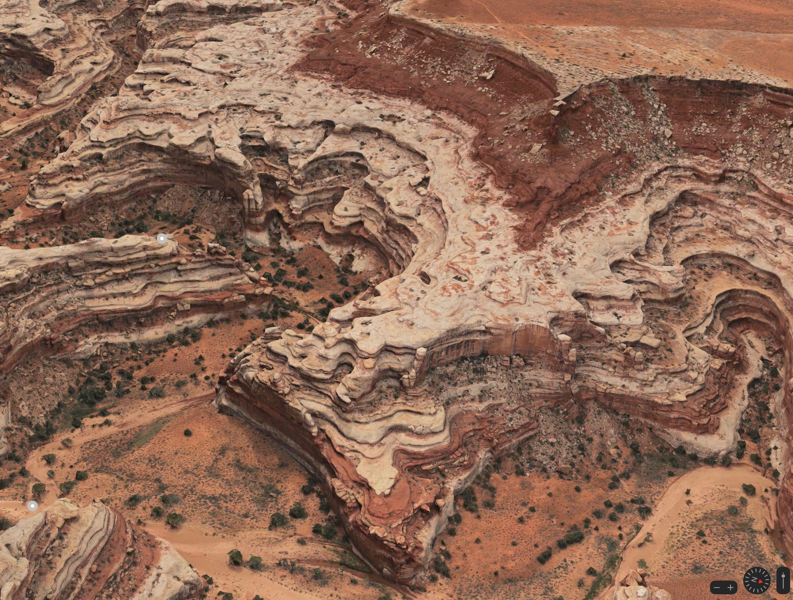
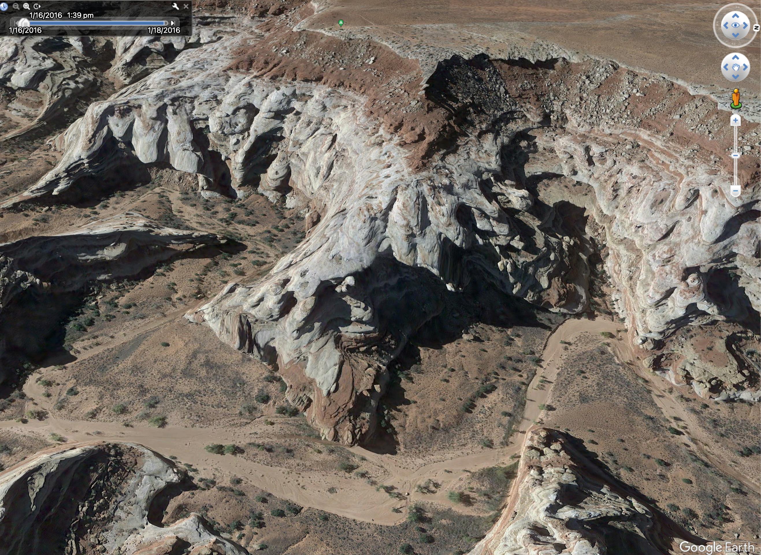
I use GoogleEarth for vetting planned routes. Its Terrain view of satellite imaginary an be very helpful in planning fine details on routes, particularly in making educated guesses as to whether an off-trail route might go or not. It is very easy to edit points in GE and they have long supported nested folder data organization. GE also has historic satellite imagery which is useful as sometimes current imagery of a potential route may be cloud or snow covered.
When designing a route, I primarily use both CT and GE, transferring files back and forth between the two applications as I refine the data to my satisfaction.
In the field, we mostly use Gaia as our basic navigational tool, but rarely use it for planning purposes. Its download maps to track feature is very handy for quickly and easily building a multi-hundred mile route as an off-line database to carry with you in the field.