- Joined
- Dec 23, 2013
- Messages
- 4,114
Back in 2020, I attempted this same hike the last weekend of May. Unfortunately for me, a late spring storm rolled in and not being prepared for foul weather, the ensuing snow storm drove me off the ridgeline, with Grandview in sight. So since I didn't make it up to the Teton Wilderness this past weekend, I decided to give this another go.
The hike essentially follows the north ridgeline of City Creek Canyon with Grandview Peak, located at the head of the Canyon, and is a little over 23 miles in length with a lot of up and down along the ridge. With a long day in mind, I left the Ensign Peak Trailhead at 5:10 in the morning, and I finished up at 8:58 at night, so a 15 hour and 48 minute day. Fortunately for me, the weather was gorgeous and the fall colors were in full swing along the entire route.
The sun angle for this hike wasn't very good as I was hiking into the sun for most of the route, so I took a lot of pictures looking back from where I'd come from.
I took three cameras with me on this hike, and they were:
- Canon EOS 6D Mark II
- Canon PowerShot SX150
- Canon PowerShot SD780 IS
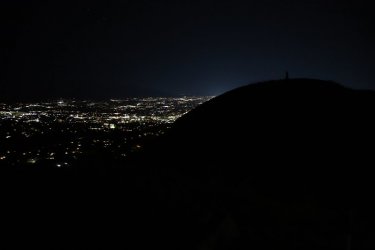
The silhouette of Ensign Peak with the monument on top
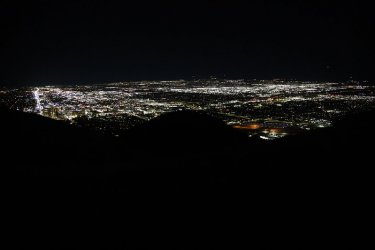
Salt Lake City lights
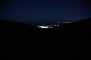
Starting to get a little lighter, with lights of North Salt Lake below, with airplanes (four) descending into the Salt Lake Airport
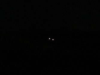
Two lights up City Creek Canyon, one I know is the water treatment plant, but I'm not sure where the other one is
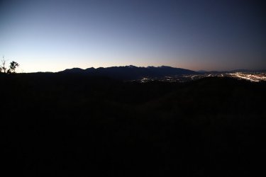
Looking back on the Wasatch Front at dawn
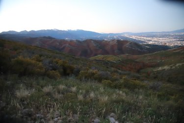
Camera is compensating for the low light by this point, with the south ridge of City Creek Canyon in view
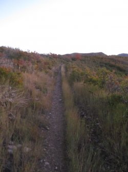
Trail conditions at the beginning
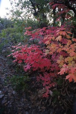
Fall colors were peaking for the maples and aspen along the way. I wanted to stop and
take pictures of all of them, but I couldn't if I expected to make my goal
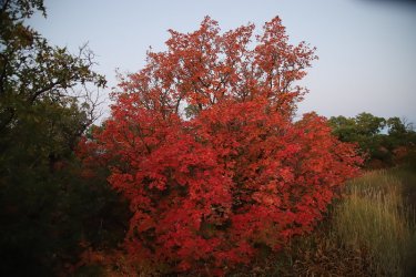
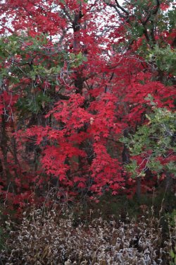
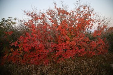
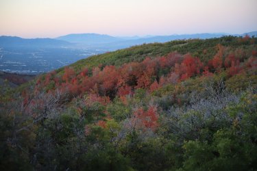
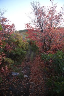
Fall colors
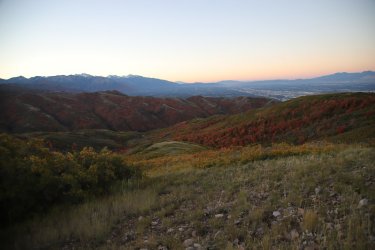
Looking down Barneys Hollow
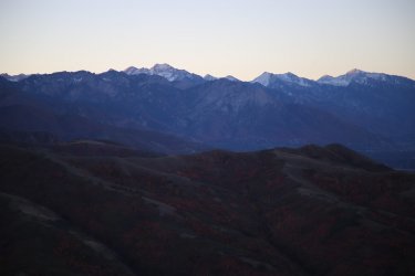
First light on Broads Fork Twin Peaks and Lone Peak
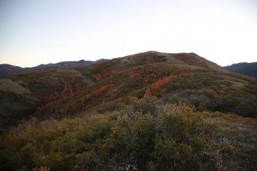
The Dude Benchmark ahead
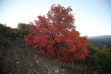
Pretty
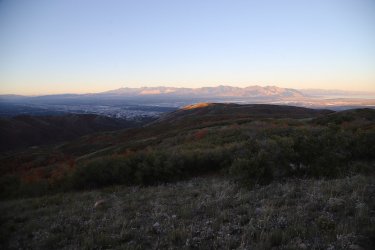
Looking down the north ridge of City Creek towards the Oquirrh Mountains on the west side of the Salt Lake Valley
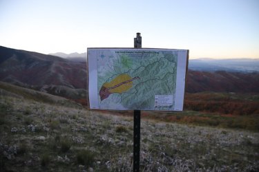
Map for hunters
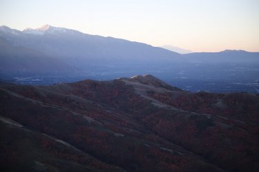
Zoomed in on the Avenues Twin Peaks across the canyon
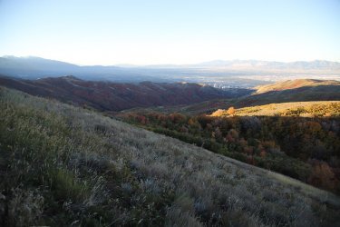
The sunlight is about to catch up to me
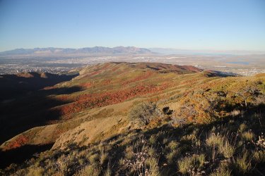
It caught me.
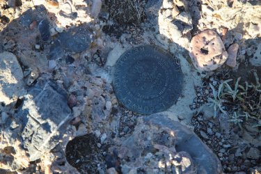
The Dude Benchmark
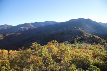
View to the east from the Dude Benchmark. I'll be following the ridge. Grandview Peak can't be seen at this point
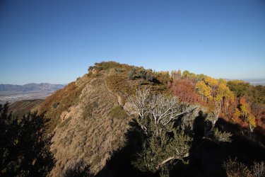
Looking back west, coming off the Dude Benchmark
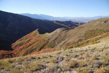
One of the ridges that plunges down into City Creek
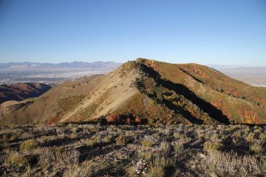
Looking back at the hill located to the east of Dude
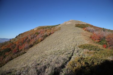
More looking back to the west at another hill just descended
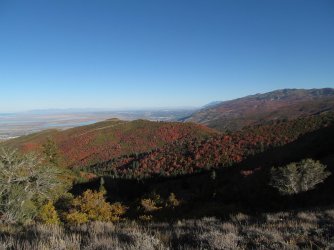
View to the north towards Bountiful, Farmington and Francis Peak
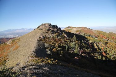
Looking back at the hilly terrain
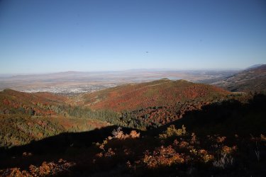
Looking down North Canyon
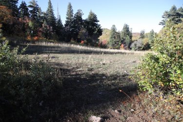
Arriving at Rudy's Flat, more than halfway to Grandview
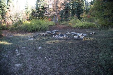
Firepit and benches at Rudy's
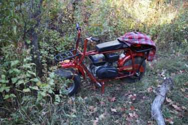
A tote goat hidden away. I'm guessing a bow hunter road it up. It was not there on my way back down.
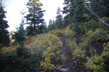
From Rudy's Flat, it is a steep climb to the top of the ridgeline where Grandview is located
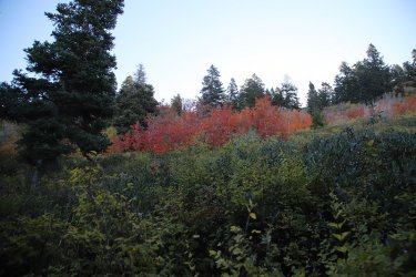
More fall colors above
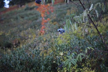
Elderberries
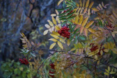
More berries - red elderberries?
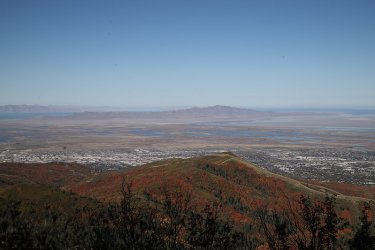
Antelope Island in the distance
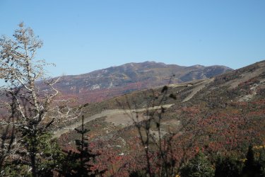
Francis Peak
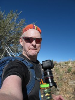
Selfie
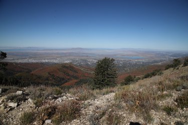
A tree is in the way, but this shot is looking down Mill Creek towards Mueller Park
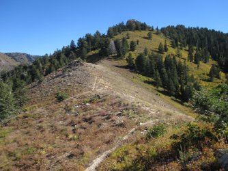
Not up top yet
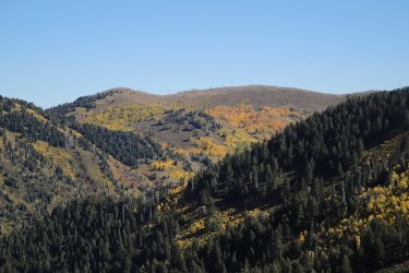
Starting to get into the aspen
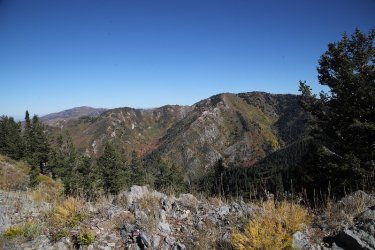
The Sessions Mountains to the north
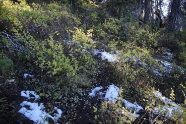
Some lingering snow on the north slopes. I filled one of my water bottles with some.
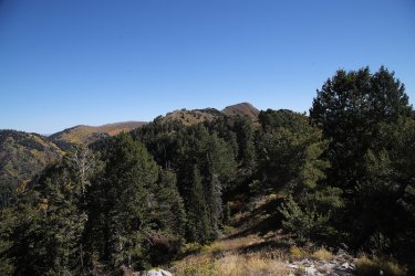
On top of the ridge that leads to Grandview. This is as far as I got back in 2020 before the storm ran my back down the ridge. Still
a ways to go.
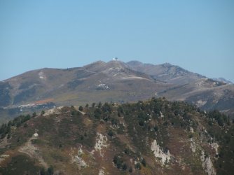
Zoomed in on the air traffic control towers on Francis Peak to the north
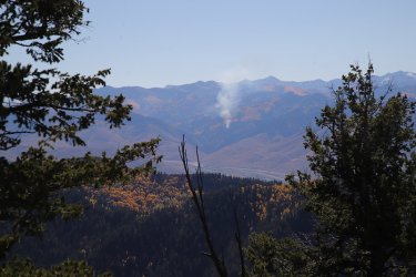
A controlled burn in Parleys Canyon
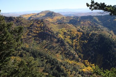
More aspen
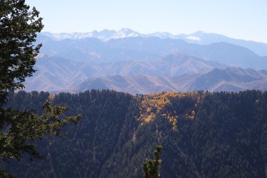
A stand of aspen on Black Mountain Ridge
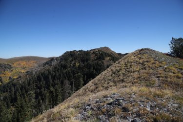
Grandview ahead, I think I might just make it
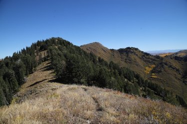
Getting closer
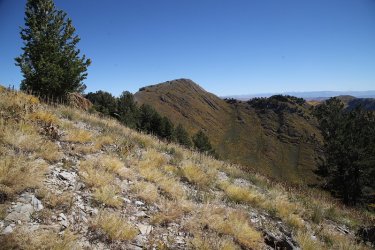
Grandview Peak
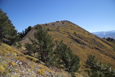
Last climb ahead
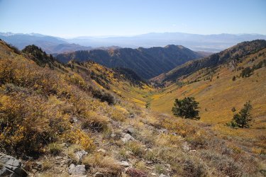
View down Cottonwood Gulch from the summit of Grandview
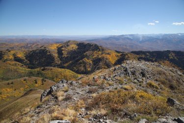
View over to Lookout Peak from the summit of Grandview
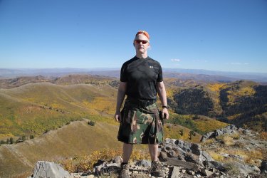
Summit shot
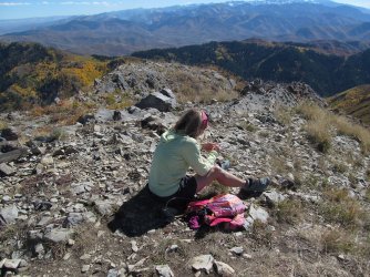
This lady was kind enough to take my picture on top. She told me that she had hiked in from the Big Mountain Trailhead and that
she had run in the Wasatch Back race a couple of times. She was the only person I saw on this hike until I got back close to the
Ensign Peak Trailhead, where people were hiking up to Ensign with their headlamps.
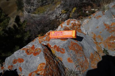
So I shared my Tony's Chocolonely with her.
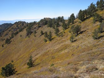
Time to head back down
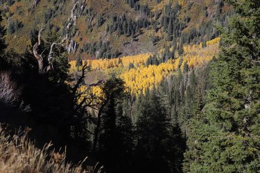
Aspen below at the head of Mill Creek
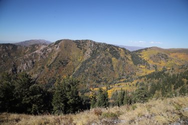
Another view of the Sessions Mountains
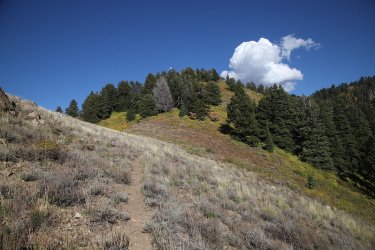
One of the few clouds on this day
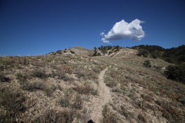
Heading back to Rudy's Flat
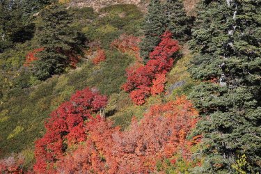
More maples
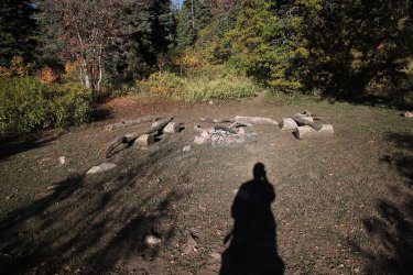
Back at Rudy's Flat with a long Scatman shadow. I had a feeling that I'd be hiking out in the dark
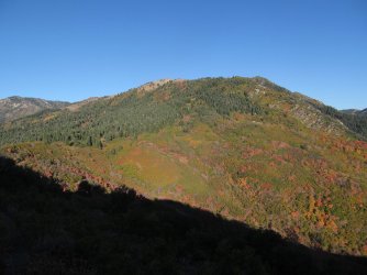
Looking back up towards Burro Peak
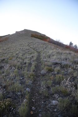
Not another hill! My legs were getting pretty tired by this point
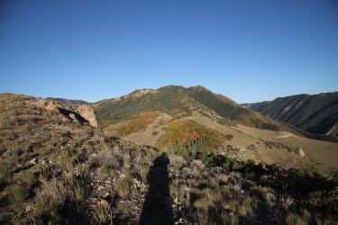
Looking back to the east again
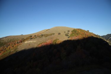
The Dude Benchmark casting its shadow on the hill to the east that I just came down
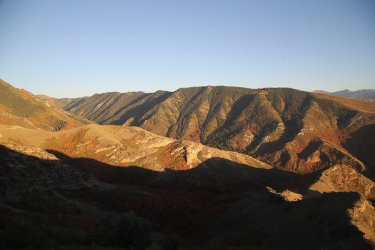
Black Mountain Ridge on the south side of City Creek Canyon
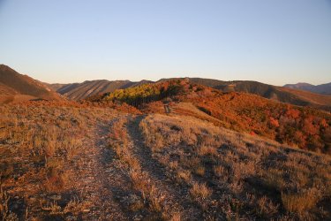
Coming off of the Dude Benchmark
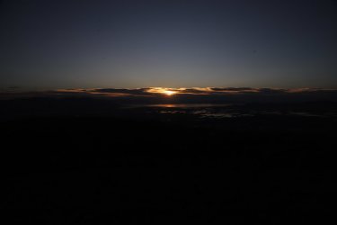
The sun going down over the Great Salt Lake
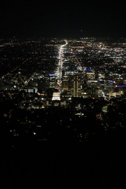
View to the south of Utah State Capital and State Street extending south though the
valley.
I got home around 9:20 PM exhausted, and went to heat up a frozen Rico's black bean and cheese burrito in the microwave because I was starving. Normally I punch a few holes in the burrito so that it doesn't explode and put black beans all over the microwave. On my third attempt to put a hole in the burrito, the steak knife glanced off the burrito and into the webbing of my left hand between my thumb and pointer finger. Well, this meant a trip to the emergency room to get stitched up, so I never got to eat the burrito. I will have it as soon as I finish this report. So be careful out there!
The End.
The hike essentially follows the north ridgeline of City Creek Canyon with Grandview Peak, located at the head of the Canyon, and is a little over 23 miles in length with a lot of up and down along the ridge. With a long day in mind, I left the Ensign Peak Trailhead at 5:10 in the morning, and I finished up at 8:58 at night, so a 15 hour and 48 minute day. Fortunately for me, the weather was gorgeous and the fall colors were in full swing along the entire route.
The sun angle for this hike wasn't very good as I was hiking into the sun for most of the route, so I took a lot of pictures looking back from where I'd come from.
I took three cameras with me on this hike, and they were:
- Canon EOS 6D Mark II
- Canon PowerShot SX150
- Canon PowerShot SD780 IS

The silhouette of Ensign Peak with the monument on top

Salt Lake City lights

Starting to get a little lighter, with lights of North Salt Lake below, with airplanes (four) descending into the Salt Lake Airport

Two lights up City Creek Canyon, one I know is the water treatment plant, but I'm not sure where the other one is

Looking back on the Wasatch Front at dawn

Camera is compensating for the low light by this point, with the south ridge of City Creek Canyon in view

Trail conditions at the beginning

Fall colors were peaking for the maples and aspen along the way. I wanted to stop and
take pictures of all of them, but I couldn't if I expected to make my goal


Fall colors

Looking down Barneys Hollow

First light on Broads Fork Twin Peaks and Lone Peak

The Dude Benchmark ahead

Pretty

Looking down the north ridge of City Creek towards the Oquirrh Mountains on the west side of the Salt Lake Valley

Map for hunters

Zoomed in on the Avenues Twin Peaks across the canyon

The sunlight is about to catch up to me

It caught me.

The Dude Benchmark

View to the east from the Dude Benchmark. I'll be following the ridge. Grandview Peak can't be seen at this point

Looking back west, coming off the Dude Benchmark

One of the ridges that plunges down into City Creek

Looking back at the hill located to the east of Dude

More looking back to the west at another hill just descended

View to the north towards Bountiful, Farmington and Francis Peak

Looking back at the hilly terrain

Looking down North Canyon

Arriving at Rudy's Flat, more than halfway to Grandview

Firepit and benches at Rudy's

A tote goat hidden away. I'm guessing a bow hunter road it up. It was not there on my way back down.

From Rudy's Flat, it is a steep climb to the top of the ridgeline where Grandview is located

More fall colors above

Elderberries

More berries - red elderberries?

Antelope Island in the distance

Francis Peak

Selfie

A tree is in the way, but this shot is looking down Mill Creek towards Mueller Park

Not up top yet

Starting to get into the aspen

The Sessions Mountains to the north

Some lingering snow on the north slopes. I filled one of my water bottles with some.

On top of the ridge that leads to Grandview. This is as far as I got back in 2020 before the storm ran my back down the ridge. Still
a ways to go.

Zoomed in on the air traffic control towers on Francis Peak to the north

A controlled burn in Parleys Canyon

More aspen

A stand of aspen on Black Mountain Ridge

Grandview ahead, I think I might just make it

Getting closer

Grandview Peak

Last climb ahead

View down Cottonwood Gulch from the summit of Grandview

View over to Lookout Peak from the summit of Grandview

Summit shot

This lady was kind enough to take my picture on top. She told me that she had hiked in from the Big Mountain Trailhead and that
she had run in the Wasatch Back race a couple of times. She was the only person I saw on this hike until I got back close to the
Ensign Peak Trailhead, where people were hiking up to Ensign with their headlamps.

So I shared my Tony's Chocolonely with her.

Time to head back down

Aspen below at the head of Mill Creek

Another view of the Sessions Mountains

One of the few clouds on this day

Heading back to Rudy's Flat

More maples

Back at Rudy's Flat with a long Scatman shadow. I had a feeling that I'd be hiking out in the dark

Looking back up towards Burro Peak

Not another hill! My legs were getting pretty tired by this point

Looking back to the east again

The Dude Benchmark casting its shadow on the hill to the east that I just came down

Black Mountain Ridge on the south side of City Creek Canyon

Coming off of the Dude Benchmark

The sun going down over the Great Salt Lake

View to the south of Utah State Capital and State Street extending south though the
valley.
I got home around 9:20 PM exhausted, and went to heat up a frozen Rico's black bean and cheese burrito in the microwave because I was starving. Normally I punch a few holes in the burrito so that it doesn't explode and put black beans all over the microwave. On my third attempt to put a hole in the burrito, the steak knife glanced off the burrito and into the webbing of my left hand between my thumb and pointer finger. Well, this meant a trip to the emergency room to get stitched up, so I never got to eat the burrito. I will have it as soon as I finish this report.
 So be careful out there!
 The End.


