cmgz
Member
- Joined
- Jul 16, 2014
- Messages
- 100
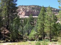
I was lucky enough to be invited along on a Dark Canyon trip. Located in the Bears Ears area of Utah, its' remoteness was more than my route finding skills were comfortable with. A group of four, we set off from Woodenshoe trailhead. This section was more gradual downhill with wooded areas. Water would be available at spots but the first two nights were dry camps.
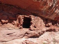
We found some nice ruins in an alcove.
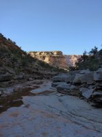
By Black Steer Canyon
Crescent moon at sunset. The stars were absolutely breathtaking.
Young's Canyon. Lots of poison ivy going up canyon.

A beautiful, deep pool.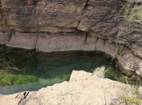
The waterfall at the start of Young's.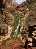
Sunset from camp
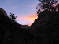
Hiking alternated from streambed to benches of varying height.
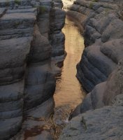
Another side canyon-Lean To. Interesting patterns on creamsicle colored rock.
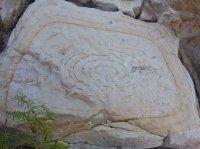

The canyon deepened as it made it's way to Lake Powell.
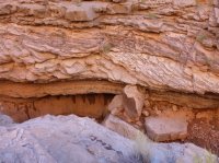
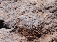
Fossils embedded in the rock.
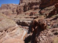
The trail wound high in the benches.
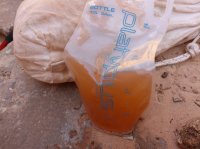
We had camped close to our exit hike and were day hiking the portion to Lake Powell. We carried water that was filtered in camp but the sun was warm and the route finding gave us some challenges. The water was picking up more sediment as we went and I had just an emergency filter which I used to drink from a ziplock bag after collecting in my storage bag. Mmm, tasty mineral water, anyone?
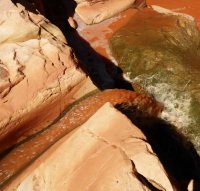
Reaching the sand benches left behind by a dropping water level in Lake Powell.
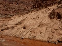
And finally a slurry where the waters met.
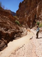
Finally the confluence.
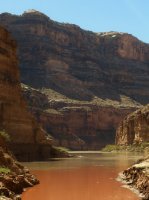
After one more night at camp, the climb up the Sundance trail. 1100 feet up a surprisingly stable slope.
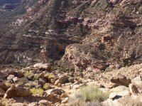
2 and 1/2 miles with 300 more feet of elevation gain to the trail's end.

We found some nice ruins in an alcove.

By Black Steer Canyon

Crescent moon at sunset. The stars were absolutely breathtaking.

Young's Canyon. Lots of poison ivy going up canyon.

A beautiful, deep pool.

The waterfall at the start of Young's.

Sunset from camp

Hiking alternated from streambed to benches of varying height.

Another side canyon-Lean To. Interesting patterns on creamsicle colored rock.


The canyon deepened as it made it's way to Lake Powell.

Fossils embedded in the rock.

The trail wound high in the benches.

We had camped close to our exit hike and were day hiking the portion to Lake Powell. We carried water that was filtered in camp but the sun was warm and the route finding gave us some challenges. The water was picking up more sediment as we went and I had just an emergency filter which I used to drink from a ziplock bag after collecting in my storage bag. Mmm, tasty mineral water, anyone?


Reaching the sand benches left behind by a dropping water level in Lake Powell.

And finally a slurry where the waters met.

Finally the confluence.

After one more night at camp, the climb up the Sundance trail. 1100 feet up a surprisingly stable slope.

2 and 1/2 miles with 300 more feet of elevation gain to the trail's end.
