- Joined
- May 5, 2012
- Messages
- 1,731
High-elevation hiking in the Uintas in mid-June... not something one can do every year. This quick out-and-back trip meant to capitalize on that.
nick and a co-worker of mine both put the story of Garrett Bardsley back in my head, independent of one another. I'd covered the story when it originally happened and it, along with the deaths of Carole Weatherton and Kim Beverly, are two great mysteries of the area.
Having never been to the Cuberant Basin myself, it seemed as good a target as any for a day hike.
I drove out to the north slope on Friday night after work. Arriving late, I set up for a night sky shot (taking advantage of the moonless sky) before heading off to bed.
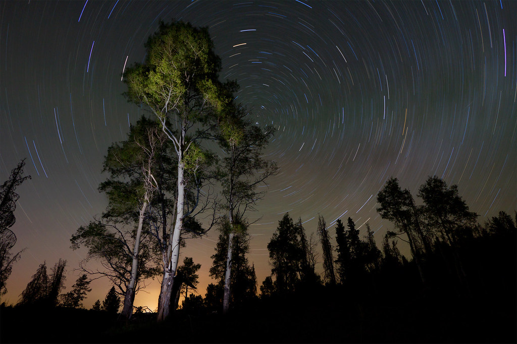
In the Meadow by ashergrey, on Flickr
Morning came quick. I made it on trail by about 8 a.m., round about the same time Garrett disappeared. There were only two other vehicles in the Pass Lake Trailhead lot and I passed no one on my hike in to the basin.
This trail, which later splits and also serves the Kamas/Lofty Lake Loop, crosses the edge of a beautiful space called Reid's Meadow. This is the headwaters of the Main Fork of the Weber River. It provides a commanding view of 11,708-foot Reid's Peak due south.
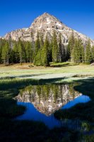
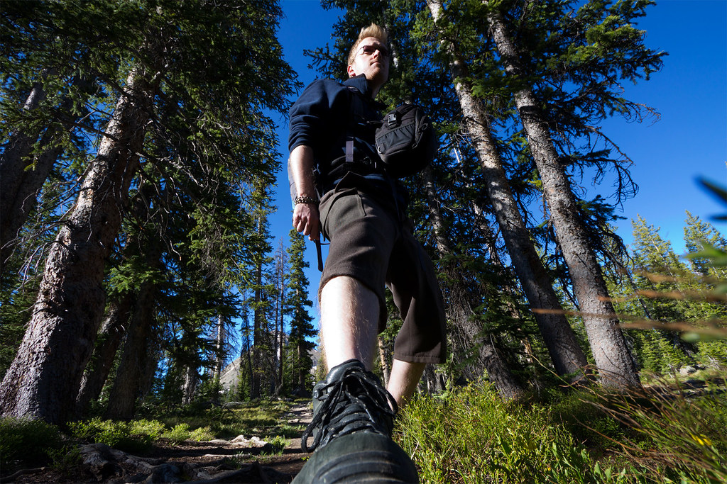
Hiking by ashergrey, on Flickr
Beyond the meadow the trail ambles along to the southern base of 11,340-foot Mount Marsell. It skirts along the lower slope of Marsell as it climbs and then drops into the Cuberant basin.
As near as I can tell from eight-year-old media reports, Kevin and Garrett Bardsley were fishing on the bank of Cuberant #1 when he soaked his shoes and socks.
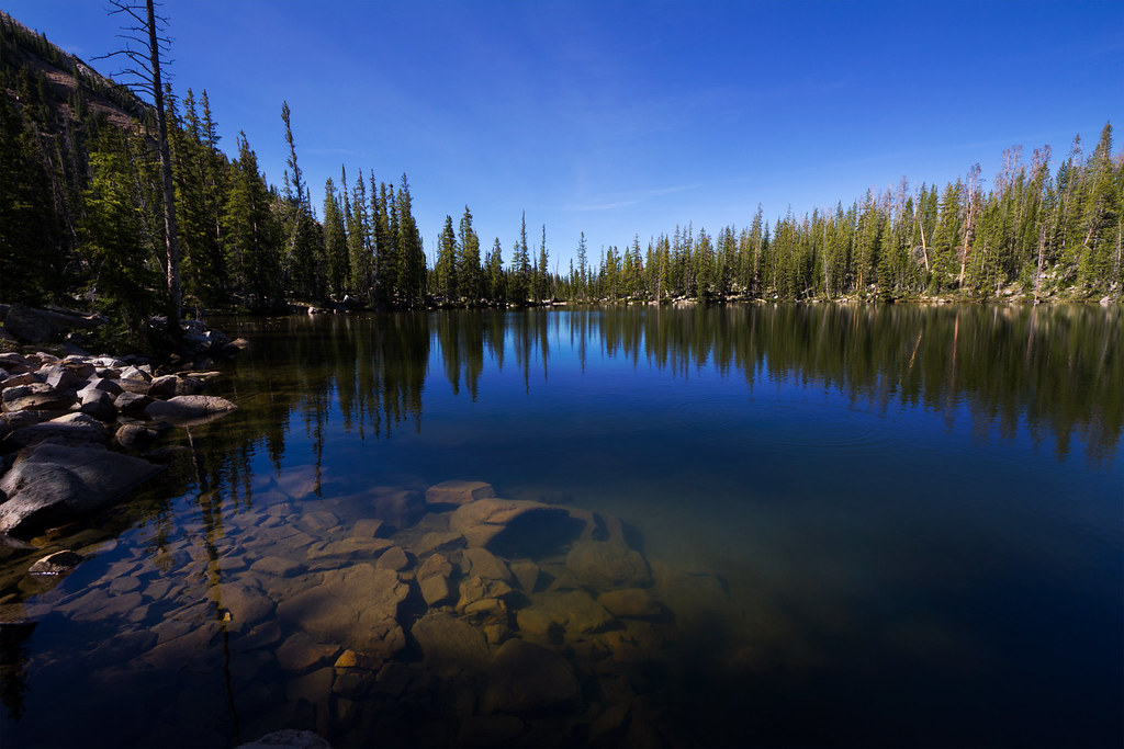
Cuberant 1 by ashergrey, on Flickr
The rest of their Boy Scout/Deacon's Quorum group were camped just up the hill at Cuberant #4.
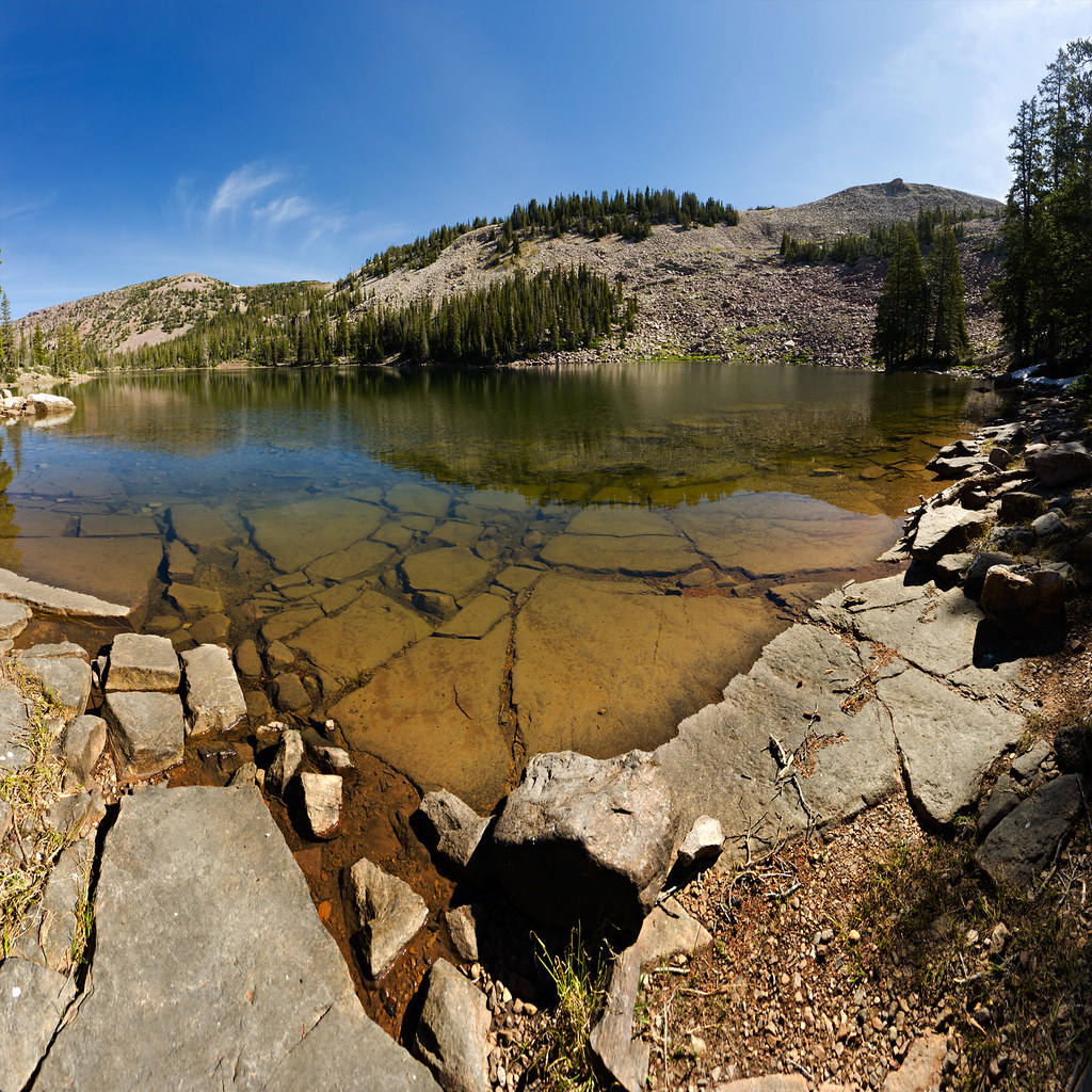
Cuberant 4 by ashergrey, on Flickr
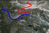
The trail between the lakes is short but much more faint than the trail leading into the basin. This shows the rough location of the trail in relation to the lakes.
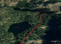
It roughly follows the outlet from Cuberant #4 that at times flows down into #1. Kevin Bardsley has said that he saw Garrett miss the trail. The father called out to his son and pointed out the mistake. Garrett then head up into the trees and was never seen again.
The terrain is wooded and rocky and from within the trees it can be hard to get one's bearings. The slopes of Marsell rise sharply on the east but the west-southwestern horizon opens into a wide expanse of the Middle Fork of the Weber. Did Garrett get lost and wander aimlessly in that direction?
I'm not so sure. Even a 12-year-old could recognize after 30 minutes to an hour of wandering that he was hopelessly lost when the walk should have taken two or three minutes tops. Because the basin is an amphitheater, sound carries very well. Calling out from within a quarter to half mile of camp could have roused the troops.
Garrett's story bothers me even more now that I've scoped out the terrain. There are plenty of possible scenarios, from loss to injury to abduction to animal attack... but none really seem to jibe for me.
In any case, I headed up to Cuberant #4, circled around to its eastern edge and then started up the boulder field.
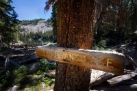
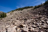
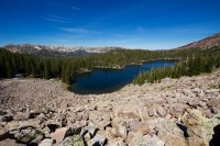
From here travel is cross-country, with no trail. The boulders eventually lessen and one can pick a path over wide open meadows. In June, the grasses and flowers were still matted from the recently melted snowpack. I continued up this slope until reaching the saddle dividing the Cuberant Basin from the Hayden Fork drainage. The saddle is just below 11,000 feet above sea level, about 300 feet below Mount Marsell.
The saddle's eastern side drops in steep cliffs, the tops of which were still frosted with snow. To only find snow like this in mid-June is nearly unheard of. And it was warm, even at elevation... very strange. I took a step or two onto the snow and found it very soft. Fearing it might be corniced, I kept my distance from the edge.
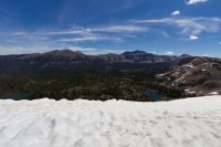
That's Hayden Peak on the right and Kletting Peak on the left. The two lakes below are Cutthroat on the right and Teal on the left. Lofty Peak is at the far right and Lofty Lake is just out of frame.
From here the ascent to the top of Marsell is a steady ramp, not too boulder heavy. I vacillated about making a summit push but ended up turning back due to time constraints. My sister and I had also hiked to Scout Peak a few years earlier. Scout is a couple hundred feet shorter than Marsell but offers similar views, so I knew what I'd miss by skipping the peak. This was as close as I came.
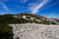
On the way back down I picked a different line in an effort to avoid a lot of the boulder hopping. This kind of worked and kind of didn't. While I did skip plenty of bouldering, the bouldering I did end up doing was across much steeper areas. This significantly slowed my progress.
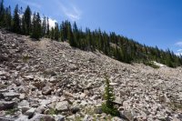
Hikers headed out of Cuberant Basin get a fantastic view of Reid's and Bald Mountain.
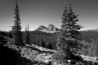
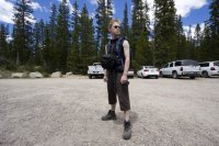
I made it back to the car before 2 p.m. which was my goal. Obligatory self-portrait:
[PARSEHTML]<iframe src="http://www.mappingsupport.com/p/gmap4.php?q=http://dl.dropbox.com/u/3847512/GPS/Cuberant_LakeMarsell.kml&t=t4" frameborder="0" marginheight="0" scrolling="no" width="800" height="800"></iframe>[/PARSEHTML]
nick and a co-worker of mine both put the story of Garrett Bardsley back in my head, independent of one another. I'd covered the story when it originally happened and it, along with the deaths of Carole Weatherton and Kim Beverly, are two great mysteries of the area.
Having never been to the Cuberant Basin myself, it seemed as good a target as any for a day hike.
I drove out to the north slope on Friday night after work. Arriving late, I set up for a night sky shot (taking advantage of the moonless sky) before heading off to bed.

In the Meadow by ashergrey, on Flickr
Morning came quick. I made it on trail by about 8 a.m., round about the same time Garrett disappeared. There were only two other vehicles in the Pass Lake Trailhead lot and I passed no one on my hike in to the basin.
This trail, which later splits and also serves the Kamas/Lofty Lake Loop, crosses the edge of a beautiful space called Reid's Meadow. This is the headwaters of the Main Fork of the Weber River. It provides a commanding view of 11,708-foot Reid's Peak due south.


Hiking by ashergrey, on Flickr
Beyond the meadow the trail ambles along to the southern base of 11,340-foot Mount Marsell. It skirts along the lower slope of Marsell as it climbs and then drops into the Cuberant basin.
As near as I can tell from eight-year-old media reports, Kevin and Garrett Bardsley were fishing on the bank of Cuberant #1 when he soaked his shoes and socks.

Cuberant 1 by ashergrey, on Flickr
The rest of their Boy Scout/Deacon's Quorum group were camped just up the hill at Cuberant #4.

Cuberant 4 by ashergrey, on Flickr
The trail between the lakes is short but much more faint than the trail leading into the basin. This shows the rough location of the trail in relation to the lakes.

It roughly follows the outlet from Cuberant #4 that at times flows down into #1. Kevin Bardsley has said that he saw Garrett miss the trail. The father called out to his son and pointed out the mistake. Garrett then head up into the trees and was never seen again.
The terrain is wooded and rocky and from within the trees it can be hard to get one's bearings. The slopes of Marsell rise sharply on the east but the west-southwestern horizon opens into a wide expanse of the Middle Fork of the Weber. Did Garrett get lost and wander aimlessly in that direction?
I'm not so sure. Even a 12-year-old could recognize after 30 minutes to an hour of wandering that he was hopelessly lost when the walk should have taken two or three minutes tops. Because the basin is an amphitheater, sound carries very well. Calling out from within a quarter to half mile of camp could have roused the troops.
Garrett's story bothers me even more now that I've scoped out the terrain. There are plenty of possible scenarios, from loss to injury to abduction to animal attack... but none really seem to jibe for me.
In any case, I headed up to Cuberant #4, circled around to its eastern edge and then started up the boulder field.


From here travel is cross-country, with no trail. The boulders eventually lessen and one can pick a path over wide open meadows. In June, the grasses and flowers were still matted from the recently melted snowpack. I continued up this slope until reaching the saddle dividing the Cuberant Basin from the Hayden Fork drainage. The saddle is just below 11,000 feet above sea level, about 300 feet below Mount Marsell.
The saddle's eastern side drops in steep cliffs, the tops of which were still frosted with snow. To only find snow like this in mid-June is nearly unheard of. And it was warm, even at elevation... very strange. I took a step or two onto the snow and found it very soft. Fearing it might be corniced, I kept my distance from the edge.

That's Hayden Peak on the right and Kletting Peak on the left. The two lakes below are Cutthroat on the right and Teal on the left. Lofty Peak is at the far right and Lofty Lake is just out of frame.
From here the ascent to the top of Marsell is a steady ramp, not too boulder heavy. I vacillated about making a summit push but ended up turning back due to time constraints. My sister and I had also hiked to Scout Peak a few years earlier. Scout is a couple hundred feet shorter than Marsell but offers similar views, so I knew what I'd miss by skipping the peak. This was as close as I came.

On the way back down I picked a different line in an effort to avoid a lot of the boulder hopping. This kind of worked and kind of didn't. While I did skip plenty of bouldering, the bouldering I did end up doing was across much steeper areas. This significantly slowed my progress.

Hikers headed out of Cuberant Basin get a fantastic view of Reid's and Bald Mountain.

I made it back to the car before 2 p.m. which was my goal. Obligatory self-portrait:

[PARSEHTML]<iframe src="http://www.mappingsupport.com/p/gmap4.php?q=http://dl.dropbox.com/u/3847512/GPS/Cuberant_LakeMarsell.kml&t=t4" frameborder="0" marginheight="0" scrolling="no" width="800" height="800"></iframe>[/PARSEHTML]

