chandlerwest
Member
- Joined
- Feb 7, 2015
- Messages
- 550
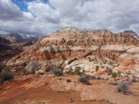
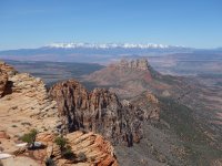
For a handful of years now I have been exploring the hidden corners of eastern Zion National Park. On Friday @Jeffrey Chandler said "Let's go to Crawford Overlook". I said "Sure......I also had a loop trip I wanted to try some day. Go up Separation and come back Crawford." "Let's do that!!!" he replied. So Saturday morning we found ourselves making our first trip to Zion this year. The plan was to park our car near Cockeye Falls then walk in Clear Creek to the east. When we got out of the car we heard Clear Creek had running water in it. Can't say I remember ever seeing that before. Guess I had never been to Zion in the early spring. We boulder hopped for awhile but, as we knew, that wasn't going to work as the canyon tends to slot up.
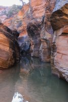
We proceeded doing everything we could not to walk the road. Walking benches and along the creek when we could. Eventually we had to exit to the road but we had fun route finding while it lasted.
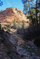
Finally we got beyond "Not Cockey Falls" (those of you who have been here know that there are two quite similar dry falls that have water occasionally) where we headed up the Separation Canyon/Route. The knob in the middle is Separation Peak. We deemed this route to be the easiest route into the Parunuweep area of Zion.
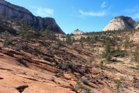
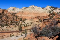
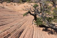
Once on top we headed west across uncharted country. Our initial goal was to yonder saddle. We knew there was a gully/ditch/canyon hidden between here and there but at the very least we knew we could get around it at the top (we hoped.) We dropped into it when it began to feel like....we could get out of it.
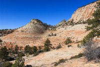
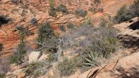
Here is Jeff on the other side, leaving me to figure out how to do it. No sweat. Just down from where we crossed it got a might cliffy.
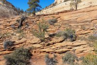
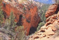
Enjoying the wonder of the route to the saddle.
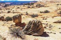
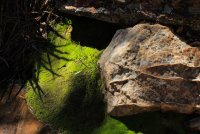
The view back to the east, from the saddle, to where Separation came through.
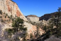
The view to the west across what Jeff dubbed Upper Upper Crawford Wash. It was a bit of a roller coaster hike across the numerous drainages that came in from the Triplets on the right.
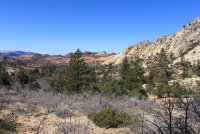
I am going to slip in a picture here from the road of a gap/window that millions of people have seen.
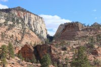
Here we are looking back through that gap/window. Seeing that pink/orange alcove across the way Jeff got to express "how did you get up there?" It was fun regaling him with the route I took four years ago.
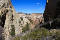
Continuing west we went to the next opening. It sort of left us stupefied with awe. Pretty expansive view of east Zion along with quite a peek into the main Virgin River canyon and West Temple. The next three photo's are from west to east.
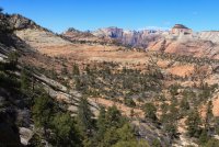
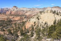
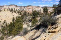
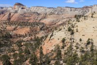
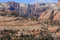
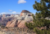
Trying to capture the terrain we navigated.
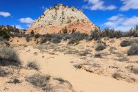
Finally we reached where Crawford Wash drops off making its way to the East Fork of the Virgin.
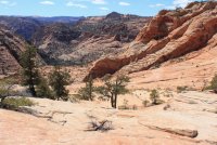
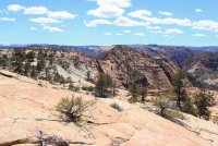
Now we needed to make our way north and west. Skirting the edge of the Wilderness Study Area (WSA) that is closed to the public. We were searching for a feature that has been dubbed Hidden Dragon. Can you see Jeff in this shot? Just off center speck, making his way to the ridgeline where he shouted and pointed "there it is!"
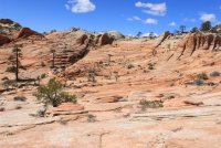
A view into the basin that holds/is the WSA. The high point to the right are also WSA.
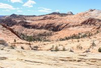
That high red mass is Hidden Dragon. In itself it is nothing special but the views of the closed WSA and down the Parunuweep Pass access route was spectacular.
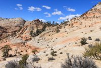
North toward East Temple
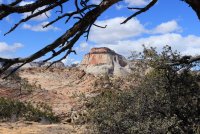
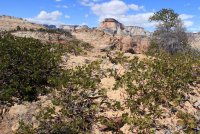
South toward the East Fork of the Virgin and Parunuweep Canyon proper.
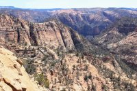
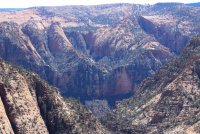
Looking southeast across how we got out here. And this marvelous slickrock wonderland down in the WSA.
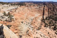
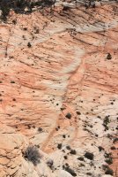
A view into the Parunuweep Pass access drainage. Both Jeff and I have made trips up this. He came up a ramp in the center of the photo and I somehow came up the wall nearer to us. All we could say is "ants on a wall." That is our mantra for explaining an unexplainable route.
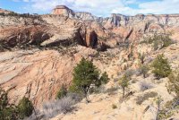
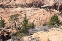
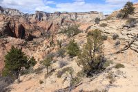
A couple parting shots before we find are way to the car.
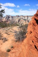
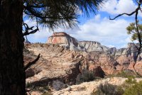
Going through the Crawford access Pass that gets us home.
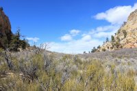
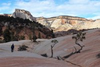
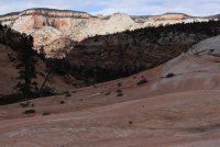
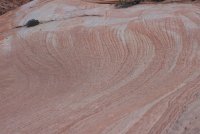
This is a view up to the saddle where we had the Expansive view of eastern Zion.
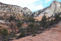
It was quite an opening day for our year. At least we were motivated to get out (as opposed to last year) before we jump into the deep end of the pool for our June Glacier NP trip. This trip gave me a few more ideas for adventures!
Wondering around eastern Zion is one of the best decisions I have made in my life! It is like having the opportunity to "look behind the curtain."

We proceeded doing everything we could not to walk the road. Walking benches and along the creek when we could. Eventually we had to exit to the road but we had fun route finding while it lasted.

Finally we got beyond "Not Cockey Falls" (those of you who have been here know that there are two quite similar dry falls that have water occasionally) where we headed up the Separation Canyon/Route. The knob in the middle is Separation Peak. We deemed this route to be the easiest route into the Parunuweep area of Zion.


Once on top we headed west across uncharted country. Our initial goal was to yonder saddle. We knew there was a gully/ditch/canyon hidden between here and there but at the very least we knew we could get around it at the top (we hoped.) We dropped into it when it began to feel like....we could get out of it.


Here is Jeff on the other side, leaving me to figure out how to do it. No sweat. Just down from where we crossed it got a might cliffy.


Enjoying the wonder of the route to the saddle.


The view back to the east, from the saddle, to where Separation came through.

The view to the west across what Jeff dubbed Upper Upper Crawford Wash. It was a bit of a roller coaster hike across the numerous drainages that came in from the Triplets on the right.

I am going to slip in a picture here from the road of a gap/window that millions of people have seen.

Here we are looking back through that gap/window. Seeing that pink/orange alcove across the way Jeff got to express "how did you get up there?" It was fun regaling him with the route I took four years ago.

Continuing west we went to the next opening. It sort of left us stupefied with awe. Pretty expansive view of east Zion along with quite a peek into the main Virgin River canyon and West Temple. The next three photo's are from west to east.


Trying to capture the terrain we navigated.

Finally we reached where Crawford Wash drops off making its way to the East Fork of the Virgin.


Now we needed to make our way north and west. Skirting the edge of the Wilderness Study Area (WSA) that is closed to the public. We were searching for a feature that has been dubbed Hidden Dragon. Can you see Jeff in this shot? Just off center speck, making his way to the ridgeline where he shouted and pointed "there it is!"

A view into the basin that holds/is the WSA. The high point to the right are also WSA.

That high red mass is Hidden Dragon. In itself it is nothing special but the views of the closed WSA and down the Parunuweep Pass access route was spectacular.

North toward East Temple


South toward the East Fork of the Virgin and Parunuweep Canyon proper.


Looking southeast across how we got out here. And this marvelous slickrock wonderland down in the WSA.


A view into the Parunuweep Pass access drainage. Both Jeff and I have made trips up this. He came up a ramp in the center of the photo and I somehow came up the wall nearer to us. All we could say is "ants on a wall." That is our mantra for explaining an unexplainable route.


A couple parting shots before we find are way to the car.


Going through the Crawford access Pass that gets us home.


This is a view up to the saddle where we had the Expansive view of eastern Zion.

It was quite an opening day for our year. At least we were motivated to get out (as opposed to last year) before we jump into the deep end of the pool for our June Glacier NP trip. This trip gave me a few more ideas for adventures!
Wondering around eastern Zion is one of the best decisions I have made in my life! It is like having the opportunity to "look behind the curtain."

