Curt
Member
- Joined
- Feb 1, 2014
- Messages
- 426
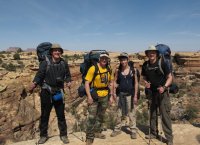
In March of 2013 I went to the Needles with Scott, Jared, Brian, and Todd. Our objective was to see as much of the Needles district as we could in 4 days. Below is a GPS track of the trip.
http://www.mappingsupport.com/p/gmap4.php?q=https://sites.google.com/site/filesforcurt/canyonlands-2013/Canyonlands 2013.kmz&ll=38.142192,-109.810361&z=13&t=t3
We worked out a route that would take us in a semi-circle of about 40 miles in length. We started at the Confluence Trail.
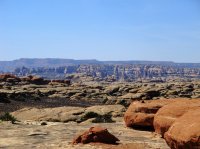
View along the way looking toward the Maze.
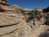
The trial stuck mostly to slick rock or sandy arroyos, but occasionally went through unusual rock formations.
The Confluence of the Colorado and Green rivers.

Looking up at the Confluence overlook.
From the Confluence overlook we went into Cyclone Canyon.
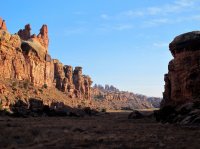
Our camp in Cyclone Canyon. One of our tents is on the large boulder in the middle of the picture. Everywhere we looked at camping in this canyon had massive piles of tumble weeds. It reminded me of when I was a kid. I got a lot of delight setting piles of tumbleweeds on fire but there were no fires this time!
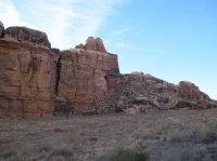
This is at the intersection of Cyclone Canyon and Red Lake Canyon.
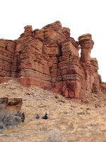
The trail descends here into Devil's Lane
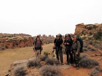
The jeep road going south on Devil's Lane passes a place on the map called S.O.B. Hill. There's a nasty rocky switchback there. We understood why its called S.O.B. Hill when we saw the engine oil on the rocks there. Apparently that place has been damaging vehicles regularly enough to earn a name.
View south from S.O.B. Hill
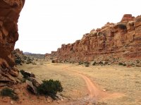
We eventually linked up with the Joint Trail.
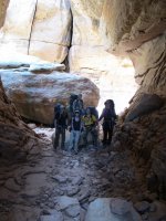
Inside the Joint
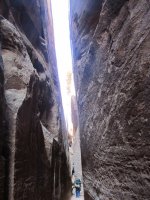
On the Chesler Park side of the Joint Trail is a short trail to an overlook up on the slickrock. Its definitely worth the walk.

We camped at CP1 in Chesler Park.
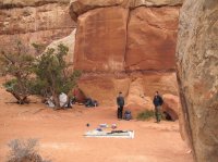
The Chesler Park Overlook is nearby.

Morning views in Chesler Park
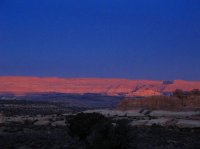
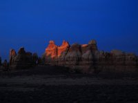
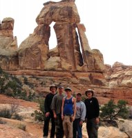
From Chesler Park we went to Druid Arch. We saw a lot of great things but I think this segment was my favorite. We resupplied water for the first time in Elephant Canyon. We had expected this and had carried a lot of water at the start but everyone was empty when we finally came to the spring in Elephant Canyon on the way to Druid Arch. We saw water regularly the rest of the way.
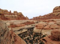
The pass between Elephant Canyon and Squaw Canyon. Wonderful view here.
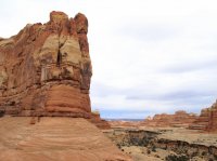
Looking back at the pass.
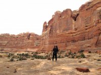
The trail passes through a crack just before you get to the pass to Big Springs Canyon. We all had to take our packs off and carry them in front of us to get through .
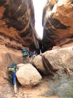
On the other side.
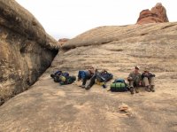
This at the pass to Big Spring Canyon.
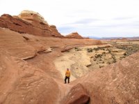
We camped at SQ2
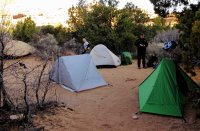
Lost Canyon at sunrise.
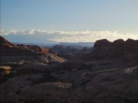
This at the pass between Squaw Canyon and Lost Canyon.
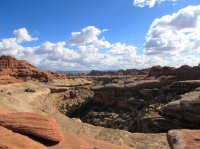
While doing research for the trip I read about a cowboy camp in Lost Canyon and decided to try to find it. I had a reasonably good description of where it was, but nothing like GPS coordinates. We asked every Ranger we ran into if they could give us any help finding it. None had ever been there but they all knew about it. They all gave us the same clue - its in a grove of cottonwoods. I thought that was a very unhelpful clue. We knew that there was water by the cowboy camp and I figured that there would be cottonwoods everywhere. In the end, we found it because of that clue.
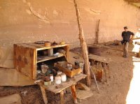
There are some old inscriptions carved in the rocks. Reputedly there are some from the early 1900's but I didn't see any that old. There is an inscription from 1949 visible on the wall behind the box. There are a lot of artifacts here. Even a box with matches in it. The barrel in the background is still about half full of oats. My nephew wanted to take a fork as a souvenir but I told him that it would actually be federal crime. Plus if 100 people did that there would be nothing left and this place and everyone visiting it would be the poorer for it. The description I had for this place was from the 1970's and some of the things it said were here aren't here now. I had second thoughts about posting my GPS track on the trip report, but decided that the people who would visit this website and make the hike to see this place are the ones who would respect it and are also the ones who ought to see it. We ourselves took nothing but pictures and left nothing but tracks.
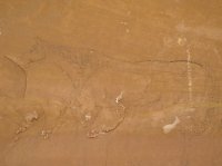
The cowboys drew several pictures on the wall with charcoal. In the 1970's these reportedly could be seen from a distance but are barely visible now. Mostly there are pictures of horses but there was also a light bulb and a woman. In my opinion this is the best of the horses.
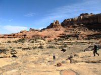
From Lost Canyon we went on the Peekaboo Trail. Very scenic.


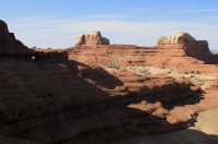
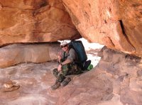
The trail passes through the sunlit hole in the shade on the left side of the picture.
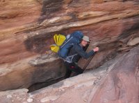
Scott at the other side of the opening in the rock.
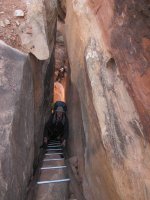
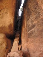
Ladder down off the slickrock near Peekaboo spring.
Looking down the ladder.
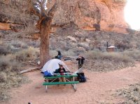
Our last camp at Peekaboo Campground.
More pictures can be seen here on Flickr. http://www.flickr.com/photos/95721076@N04/sets/72157633491315292/
Featured image for home page:
http://www.mappingsupport.com/p/gmap4.php?q=https://sites.google.com/site/filesforcurt/canyonlands-2013/Canyonlands 2013.kmz&ll=38.142192,-109.810361&z=13&t=t3
We worked out a route that would take us in a semi-circle of about 40 miles in length. We started at the Confluence Trail.

View along the way looking toward the Maze.

The trial stuck mostly to slick rock or sandy arroyos, but occasionally went through unusual rock formations.

The Confluence of the Colorado and Green rivers.

Looking up at the Confluence overlook.

From the Confluence overlook we went into Cyclone Canyon.

Our camp in Cyclone Canyon. One of our tents is on the large boulder in the middle of the picture. Everywhere we looked at camping in this canyon had massive piles of tumble weeds. It reminded me of when I was a kid. I got a lot of delight setting piles of tumbleweeds on fire but there were no fires this time!

This is at the intersection of Cyclone Canyon and Red Lake Canyon.

The trail descends here into Devil's Lane

The jeep road going south on Devil's Lane passes a place on the map called S.O.B. Hill. There's a nasty rocky switchback there. We understood why its called S.O.B. Hill when we saw the engine oil on the rocks there. Apparently that place has been damaging vehicles regularly enough to earn a name.
View south from S.O.B. Hill

We eventually linked up with the Joint Trail.

Inside the Joint

On the Chesler Park side of the Joint Trail is a short trail to an overlook up on the slickrock. Its definitely worth the walk.

We camped at CP1 in Chesler Park.

The Chesler Park Overlook is nearby.

Morning views in Chesler Park


From Chesler Park we went to Druid Arch. We saw a lot of great things but I think this segment was my favorite. We resupplied water for the first time in Elephant Canyon. We had expected this and had carried a lot of water at the start but everyone was empty when we finally came to the spring in Elephant Canyon on the way to Druid Arch. We saw water regularly the rest of the way.


The pass between Elephant Canyon and Squaw Canyon. Wonderful view here.

Looking back at the pass.

The trail passes through a crack just before you get to the pass to Big Springs Canyon. We all had to take our packs off and carry them in front of us to get through .

On the other side.

This at the pass to Big Spring Canyon.

We camped at SQ2

Lost Canyon at sunrise.

This at the pass between Squaw Canyon and Lost Canyon.

While doing research for the trip I read about a cowboy camp in Lost Canyon and decided to try to find it. I had a reasonably good description of where it was, but nothing like GPS coordinates. We asked every Ranger we ran into if they could give us any help finding it. None had ever been there but they all knew about it. They all gave us the same clue - its in a grove of cottonwoods. I thought that was a very unhelpful clue. We knew that there was water by the cowboy camp and I figured that there would be cottonwoods everywhere. In the end, we found it because of that clue.

There are some old inscriptions carved in the rocks. Reputedly there are some from the early 1900's but I didn't see any that old. There is an inscription from 1949 visible on the wall behind the box. There are a lot of artifacts here. Even a box with matches in it. The barrel in the background is still about half full of oats. My nephew wanted to take a fork as a souvenir but I told him that it would actually be federal crime. Plus if 100 people did that there would be nothing left and this place and everyone visiting it would be the poorer for it. The description I had for this place was from the 1970's and some of the things it said were here aren't here now. I had second thoughts about posting my GPS track on the trip report, but decided that the people who would visit this website and make the hike to see this place are the ones who would respect it and are also the ones who ought to see it. We ourselves took nothing but pictures and left nothing but tracks.
The cowboys drew several pictures on the wall with charcoal. In the 1970's these reportedly could be seen from a distance but are barely visible now. Mostly there are pictures of horses but there was also a light bulb and a woman. In my opinion this is the best of the horses.

From Lost Canyon we went on the Peekaboo Trail. Very scenic.


The trail passes through the sunlit hole in the shade on the left side of the picture.

Scott at the other side of the opening in the rock.

Ladder down off the slickrock near Peekaboo spring.

Looking down the ladder.


Our last camp at Peekaboo Campground.

More pictures can be seen here on Flickr. http://www.flickr.com/photos/95721076@N04/sets/72157633491315292/
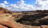
Featured image for home page:

Last edited by a moderator:
