- Joined
- Dec 23, 2013
- Messages
- 4,116
With low lake levels, islands that were once problematic without a water craft, are now accessible by foot if you're willing to spend your day getting there and back. So after a successful hike out to Fremont Island a couple of weeks back, I decided to give Carrington Island a go yesterday. I was also able to convince a couple of my old backpacking buddies to tag along with me on this trek. Poor blokes! 
We started before sunrise on the north end of Stansbury Island, then made our way west along a causeway to Badger Island where we turned north and made our way across the mudflats to Carrington Island. Once on the island, two of us made our way up to Lambourne's Rock which is the high point of the island at 4727 feet.
At first Carrington Island was used to farm brine shrimp, before operations moved further south on the Great Salt Lake, and during WWII, the US Army used Carrington as a bombing range. Impact craters can still be seen today, along with pieces of exploded ordnance.
The total distance for the hike was 16 miles, and with a forecasted 80 degrees (record high for March 26th) for Saturday, it was kind of a warm go, especially when it is the first warm day, and you're used to hiking in upper forties and to mid-fifties lately.
Here are some shots of our hike:
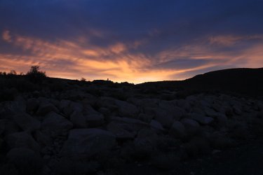
Sunrise over Stansbury Island
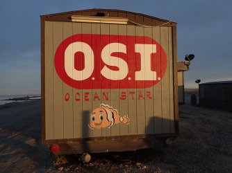
Fish food anyone?
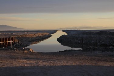
Dredged channel for pumping operations
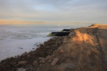
Two 36 inch pipes discharging water into the south end of the Salt Lake
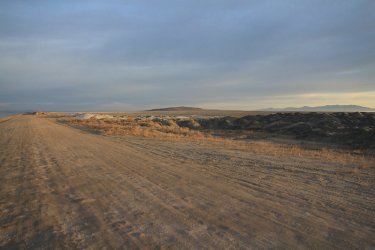
Carrington Island off in the distance
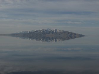
Stansbury Range and reflection to the south. Deseret Peak the high point of the range
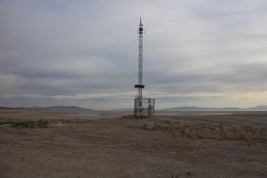
Weather station on Badger Island
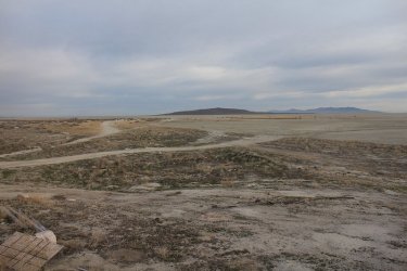
Looking north towards Carrington
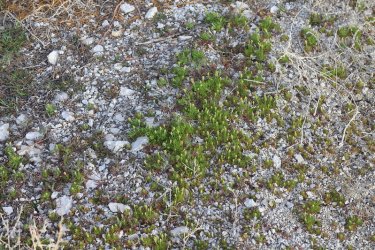
A little bit of spring growth on Badger Island
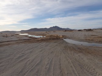
Looking back towards Stansbury Island
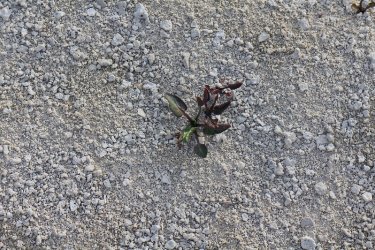
Life on the mudflats
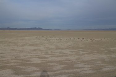
Looking northwest with the north end of the Lakeside Mountains in the distance
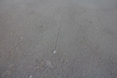
Moving rocks on the mudflats
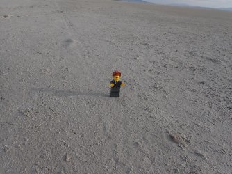
Lord Business on the flats - a curmudgeon if there ever was one.
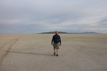
Heading towards Carrington
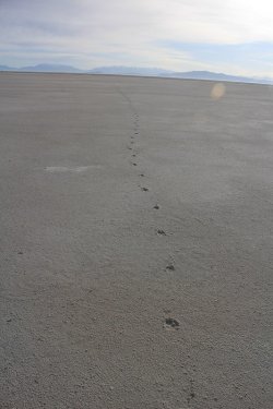
Coyote tracks on the mudflats heading southeast
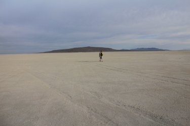
My hiking buddy, heading towards Carrington with the Promontory Range in the far distance
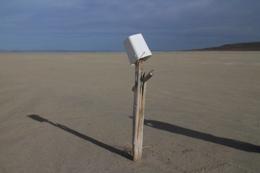
Not sure what to make of a bucket on a cross
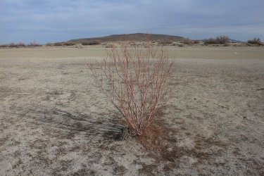
We've left the mudflats at this point and are making our way north along the spit on the south end of Carrington Island with a small
shrub in a harsh environment
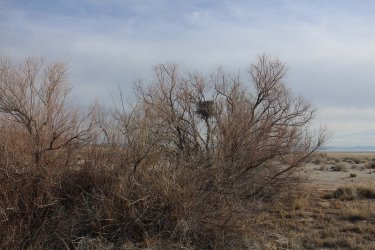
Eagles nest
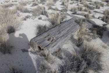
We ran into a lot of substantial cut boards which may have been part of the original brine shrimp operations?
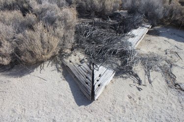
A joint
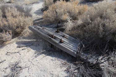
Another joint with bolts and washers
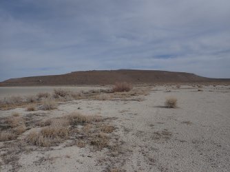
Getting closer
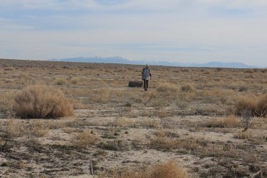
The third in our party. He left about an hour earlier than we did so that he could stop and rest when needed along the way. The
Wasatch Range in the distance.
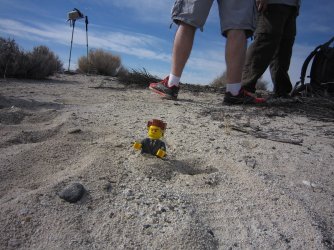
Lord Business is not a happy camper. The soft sand was wearing him out.
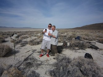
Larry and Moe of the three stooges.
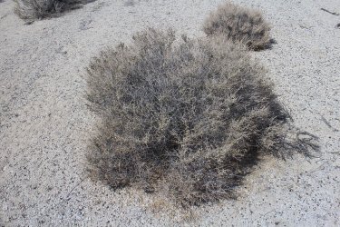
Whatever these thorny shrubs are (I think it is a thorny milkwort), they are definitely not kilt friendly! Ouch!
Ouch!
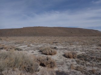
Originally, my route took us straight up the slope ahead and on to Lambourne's Rock, but it turned out to be steeper than I had
anticipated, so we headed towards the west end of the island where the slope was more gradual and friendlier on my knees.
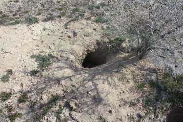
We ran into numerous badger holes on Carrington
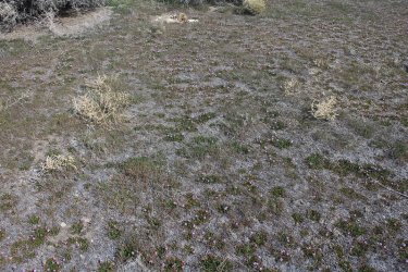
Hard to make out in this image, but the ground on the island was covered with common storksbill, giving it all a slightly pinkish
hue as we hiked along. Very pretty.
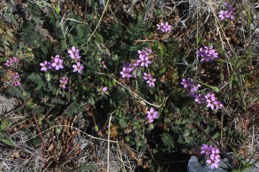
Closeup of the storksbill
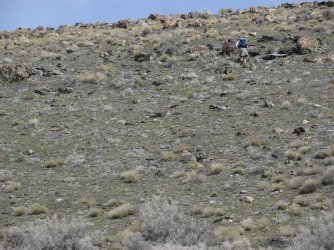
Scatman making his way up the first hill
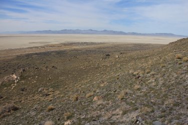
Look back to the southwest towards the Lakeside Mountains
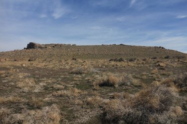
Just over the rise is Lambourne's Rock
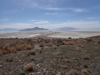
A look back to the south towards Stansbury Island with the Oquirrh Mountains to the east, and the Stansbury Range to the west.
SAC Bay below to the left, and a good shot of the spit that we hiked along to reach the main part of the island.
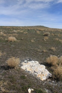
Interesting white rock on our way to the summit.
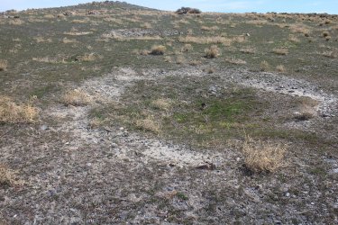
One of the numerous impact craters
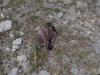
Old pieces of exploded ordnance still on the island
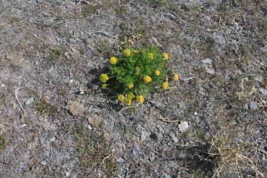
Some sulfur buckwheat blooming near the top
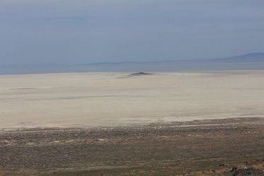
Hat Island
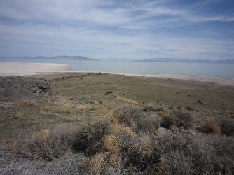
Stoddard Point, with Fremont Island and the Promontory Range in the distance
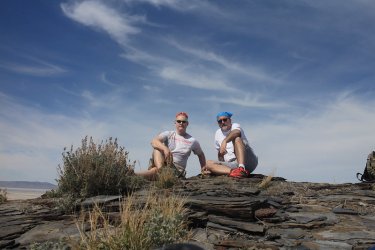
Summit shot on Lambourne's Rock
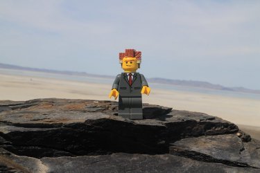
Apparently Lord Business just stays pissed off. Does he ever smile?
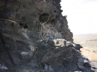
Bird nest on the northeast side of Lambourne's Rock
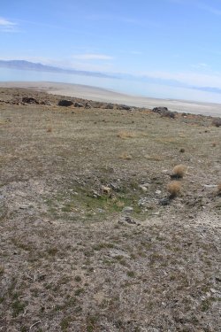
Another impact crater
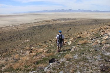
Heading back to meet up with Danny
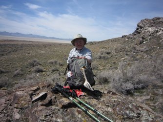
Danny is still alive!

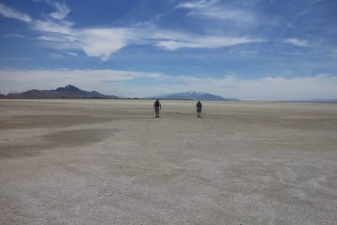
Back across the mudflats
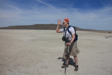
A BCP greeting for @Rockskipper
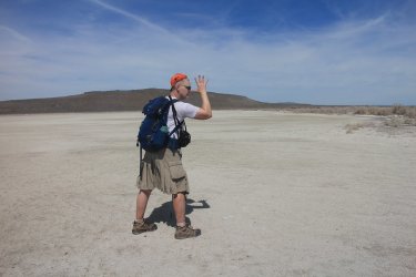
And for those you don't understand the west facing greeting, here's an east facing one for you.
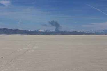
Looks like there might be a brush fire on the east side of Antelope Island
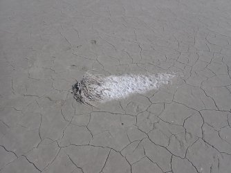
Interesting how the salt builds up behind the small tumbleweed.
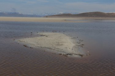
Some waterfowl as we return to Badger Island
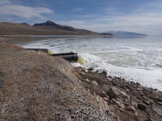
Another look at the outflow pipes
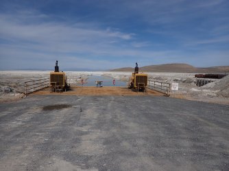
And the pumps on the other side (north) of the causeway.
The End.
We started before sunrise on the north end of Stansbury Island, then made our way west along a causeway to Badger Island where we turned north and made our way across the mudflats to Carrington Island. Once on the island, two of us made our way up to Lambourne's Rock which is the high point of the island at 4727 feet.
At first Carrington Island was used to farm brine shrimp, before operations moved further south on the Great Salt Lake, and during WWII, the US Army used Carrington as a bombing range. Impact craters can still be seen today, along with pieces of exploded ordnance.
The total distance for the hike was 16 miles, and with a forecasted 80 degrees (record high for March 26th) for Saturday, it was kind of a warm go, especially when it is the first warm day, and you're used to hiking in upper forties and to mid-fifties lately.
Here are some shots of our hike:

Sunrise over Stansbury Island

Fish food anyone?

Dredged channel for pumping operations

Two 36 inch pipes discharging water into the south end of the Salt Lake

Carrington Island off in the distance

Stansbury Range and reflection to the south. Deseret Peak the high point of the range

Weather station on Badger Island

Looking north towards Carrington

A little bit of spring growth on Badger Island

Looking back towards Stansbury Island

Life on the mudflats

Looking northwest with the north end of the Lakeside Mountains in the distance

Moving rocks on the mudflats

Lord Business on the flats - a curmudgeon if there ever was one.

Heading towards Carrington

Coyote tracks on the mudflats heading southeast

My hiking buddy, heading towards Carrington with the Promontory Range in the far distance

Not sure what to make of a bucket on a cross

We've left the mudflats at this point and are making our way north along the spit on the south end of Carrington Island with a small
shrub in a harsh environment

Eagles nest

We ran into a lot of substantial cut boards which may have been part of the original brine shrimp operations?

A joint

Another joint with bolts and washers

Getting closer

The third in our party. He left about an hour earlier than we did so that he could stop and rest when needed along the way. The
Wasatch Range in the distance.

Lord Business is not a happy camper. The soft sand was wearing him out.

Larry and Moe of the three stooges.

Whatever these thorny shrubs are (I think it is a thorny milkwort), they are definitely not kilt friendly!

Originally, my route took us straight up the slope ahead and on to Lambourne's Rock, but it turned out to be steeper than I had
anticipated, so we headed towards the west end of the island where the slope was more gradual and friendlier on my knees.

We ran into numerous badger holes on Carrington

Hard to make out in this image, but the ground on the island was covered with common storksbill, giving it all a slightly pinkish
hue as we hiked along. Very pretty.

Closeup of the storksbill

Scatman making his way up the first hill

Look back to the southwest towards the Lakeside Mountains

Just over the rise is Lambourne's Rock

A look back to the south towards Stansbury Island with the Oquirrh Mountains to the east, and the Stansbury Range to the west.
SAC Bay below to the left, and a good shot of the spit that we hiked along to reach the main part of the island.

Interesting white rock on our way to the summit.

One of the numerous impact craters

Old pieces of exploded ordnance still on the island

Some sulfur buckwheat blooming near the top

Hat Island

Stoddard Point, with Fremont Island and the Promontory Range in the distance

Summit shot on Lambourne's Rock

Apparently Lord Business just stays pissed off. Does he ever smile?

Bird nest on the northeast side of Lambourne's Rock

Another impact crater

Heading back to meet up with Danny

Danny is still alive!

Back across the mudflats

A BCP greeting for @Rockskipper

And for those you don't understand the west facing greeting, here's an east facing one for you.

Looks like there might be a brush fire on the east side of Antelope Island

Interesting how the salt builds up behind the small tumbleweed.

Some waterfowl as we return to Badger Island

Another look at the outflow pipes

And the pumps on the other side (north) of the causeway.
The End.
Last edited:
