- Joined
- Dec 23, 2013
- Messages
- 4,114
Back in July, my daughter and I attempted to summit the Broads Fork Twin Peaks via the Robinson's Variation (Bonkers for @Artemus). A route that I had never attempted before. Unfortunately, it was an extremely hot day and my daughter ran out of gas at the top of the Robinson's Couloir and we had to call it a day. Fortunately for me, @regehr wanted to attempt this route also, so we scheduled the 29th of September for an attempt and hopefully a little cooler weather.
The weather yesterday turned out to be fabulous for us, though the wind was blowing fairly hard along the ridge and on the summit. While we summited via the Robinson's Variation, we descended the normal route.
Here are some shots of our hike and hopefully @regehr will add some shots he took along the way to this report.
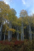
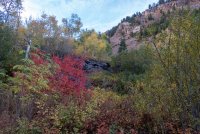
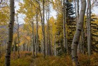
Fall colors on the way up Broads Fork
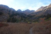
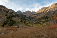
Broads Fork Valley in the morning light
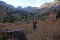
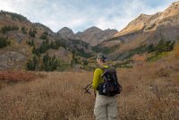
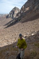
Regehr ready for the couloir
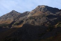
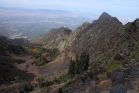
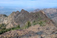
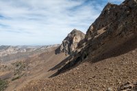
A look up at the ridge we will be scrambling across to the eastern summit of Twin Peaks
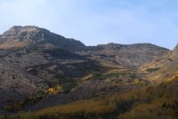
The saddle we will climbing to at the top of the Robinson's Couloir
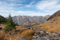
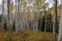
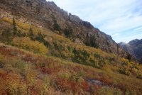 Fall colors on our way up the draw
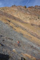
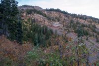
Beware of the slabs!
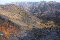
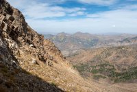
Regehr below, Broads Fork Valley and Wildcat Ridge in the distance
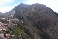
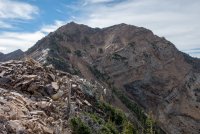
Once at the saddle, Broads Fork Twin Peaks comes into full view
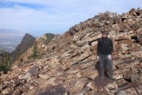
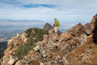
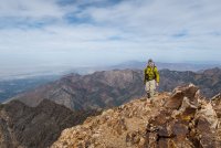
Regehr, on the scramble across the ridge
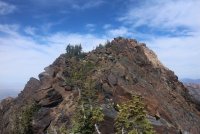
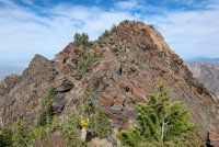
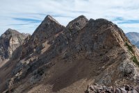
The ridge line of the Robinson's Variation
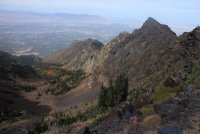
A look down Deaf Smith Canyon
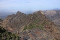
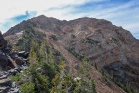
A view back along the ridge we scrambled across
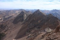
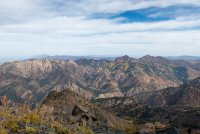
A view to the east of Sunrise and Dromedary Peaks along the Cottonwood Ridge
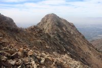
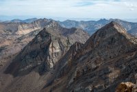
View of the western summit of Twin Peaks
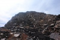
Looking up at the eastern summit of Twin Peaks. It became really steep from this point to the top
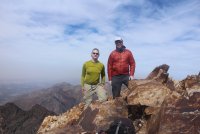
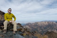
On the eastern summit
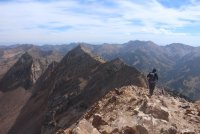
Starting our descent
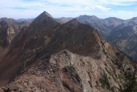
A look down on the knife's edge ridge we will make our way across descending the normal route
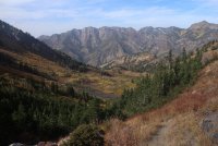
Broads Fork Valley and Wildcat Ridge, looking north
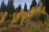
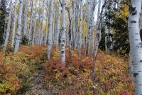
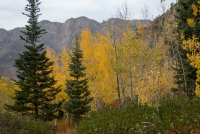
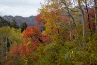
Aspens showing off on our way down
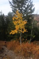
A lone aspen with a beautiful yellow hue - not to be confused with Hugh.
@regehr - add any commentary or images you would like to this report and thanks for a great hike.
The end.
The weather yesterday turned out to be fabulous for us, though the wind was blowing fairly hard along the ridge and on the summit. While we summited via the Robinson's Variation, we descended the normal route.
Here are some shots of our hike and hopefully @regehr will add some shots he took along the way to this report.

Fall colors on the way up Broads Fork

Broads Fork Valley in the morning light

Regehr ready for the couloir

A look up at the ridge we will be scrambling across to the eastern summit of Twin Peaks

The saddle we will climbing to at the top of the Robinson's Couloir
 Fall colors on our way up the draw
Beware of the slabs!

Regehr below, Broads Fork Valley and Wildcat Ridge in the distance

Once at the saddle, Broads Fork Twin Peaks comes into full view

Regehr, on the scramble across the ridge

The ridge line of the Robinson's Variation

A look down Deaf Smith Canyon

A view back along the ridge we scrambled across

A view to the east of Sunrise and Dromedary Peaks along the Cottonwood Ridge

View of the western summit of Twin Peaks

Looking up at the eastern summit of Twin Peaks. It became really steep from this point to the top

On the eastern summit

Starting our descent

A look down on the knife's edge ridge we will make our way across descending the normal route

Broads Fork Valley and Wildcat Ridge, looking north

Aspens showing off on our way down

A lone aspen with a beautiful yellow hue - not to be confused with Hugh.
@regehr - add any commentary or images you would like to this report and thanks for a great hike.
The end.
Attachments
Last edited:

