Udink
Still right here.
- Joined
- Jan 17, 2012
- Messages
- 1,734
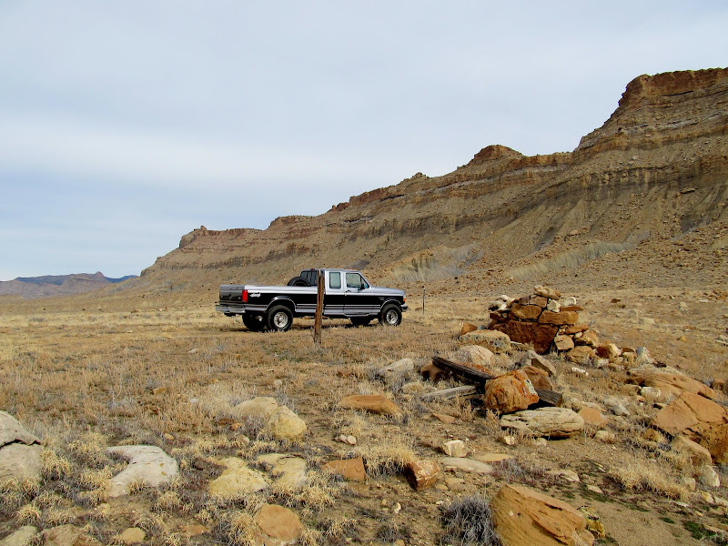
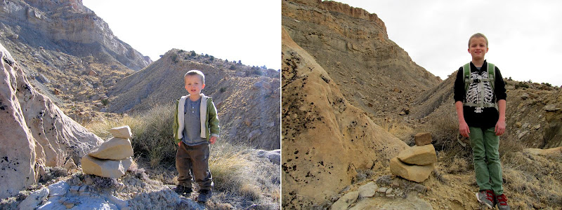
The kids and I returned to the Book Cliffs on Saturday to finish something we started more than seven years ago. In late 2006 we hiked a small portion of an old pack trail leading up through the Book Cliffs. The trail became too steep and rough for the kids, then ages 3 and 5, and on the way down we had an encounter with an unsavory character which soured the entire trip. Now, both myself and the kids are fitter and stronger and I wasn't expecting to have any difficulties. After some highway driving and a few miles of bumping down a dirt road in the same old Ford pickup, we reached the bottom of the trail and began our hike. The first quarter of the trail is fairly well discernible, albeit somewhat steep and rocky. Along that section we stopped for some rephotography, duplicating photos that I'd taken during our first hike.
Parked at the end of the road and the beginning of the trail
2006-2014 comparison
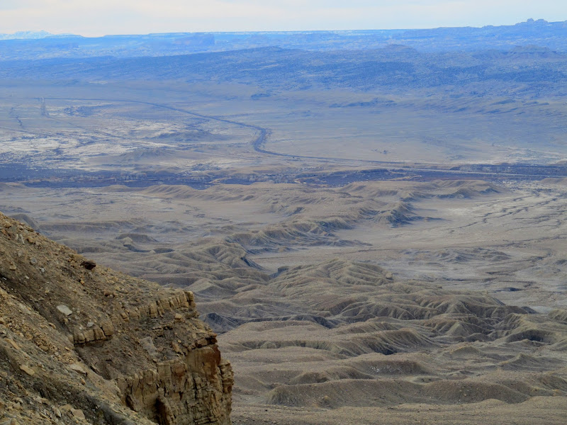
Our route will take us through the cliffs in the center
Our route
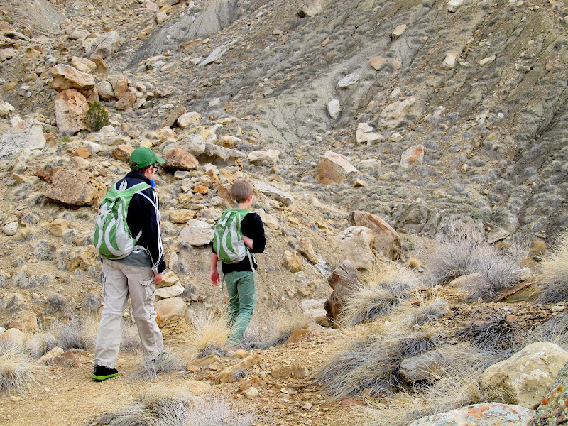
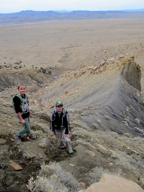
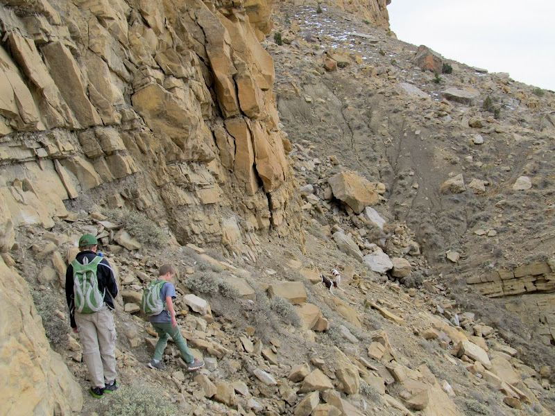
The boys nearing the base of the climb
Starting to climb
A steep but easy section through soft dirt
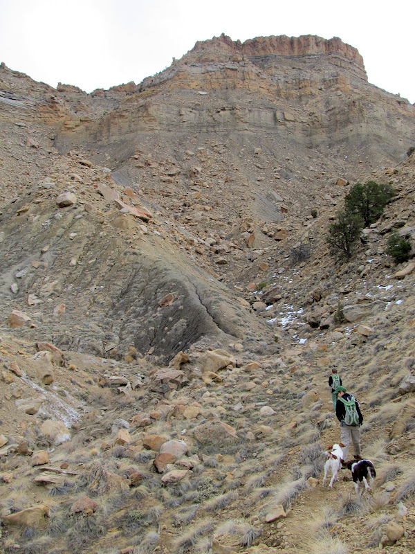
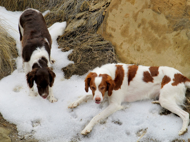
Boulder and Torrey getting a drink of water
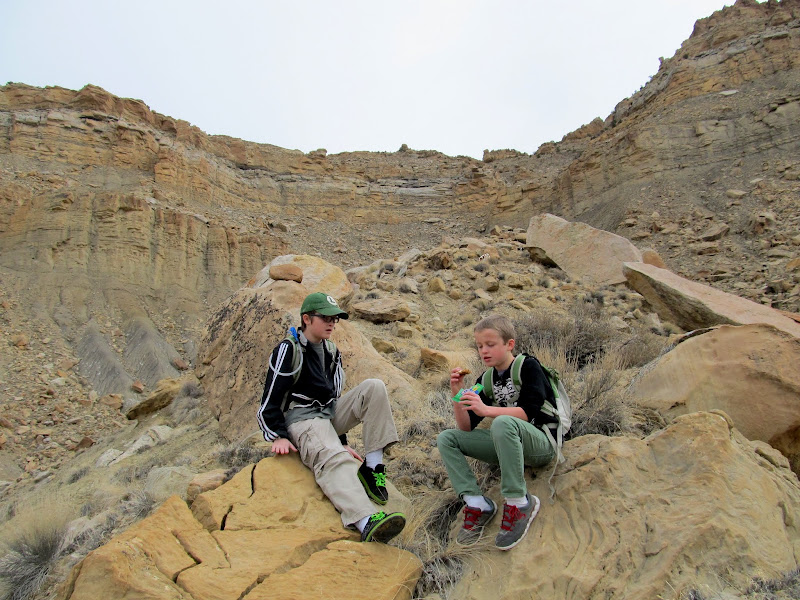
Snack break
2006-2014 comparison
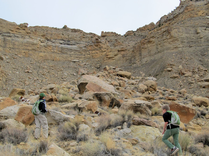
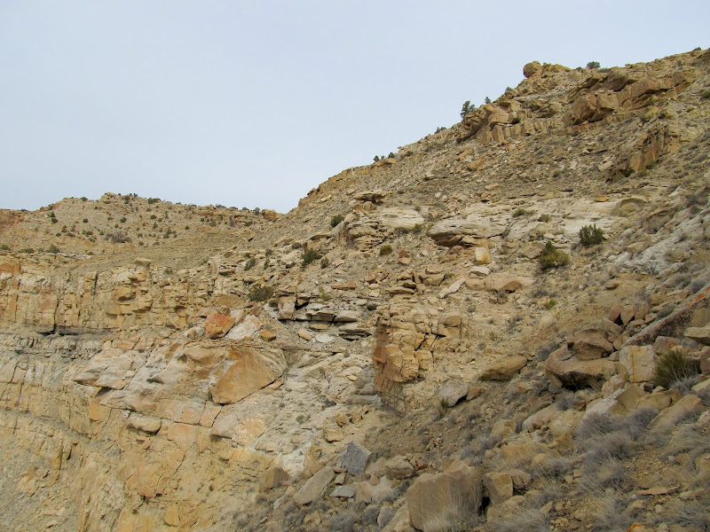
Climbing through a bouldery section
2006-2014 comparison
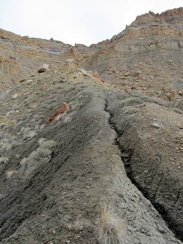
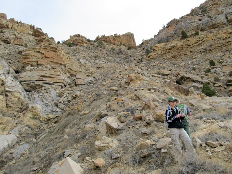
Steep, bouldery section of trail
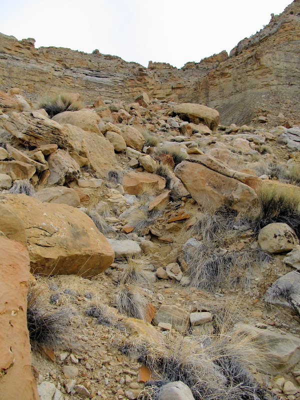
2006-2014 comparison
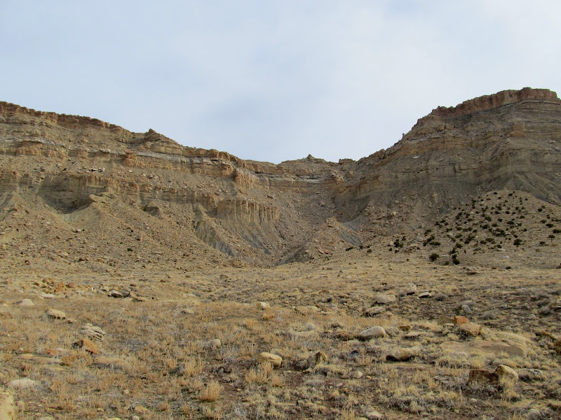
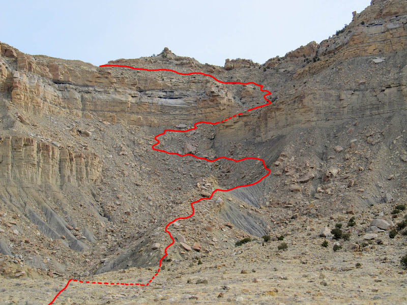
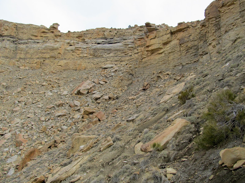
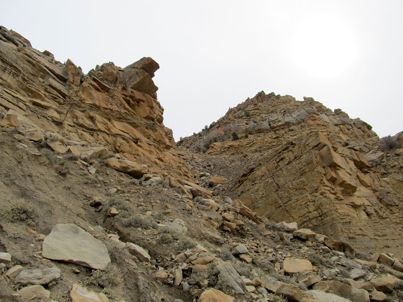
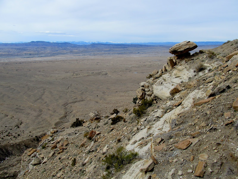
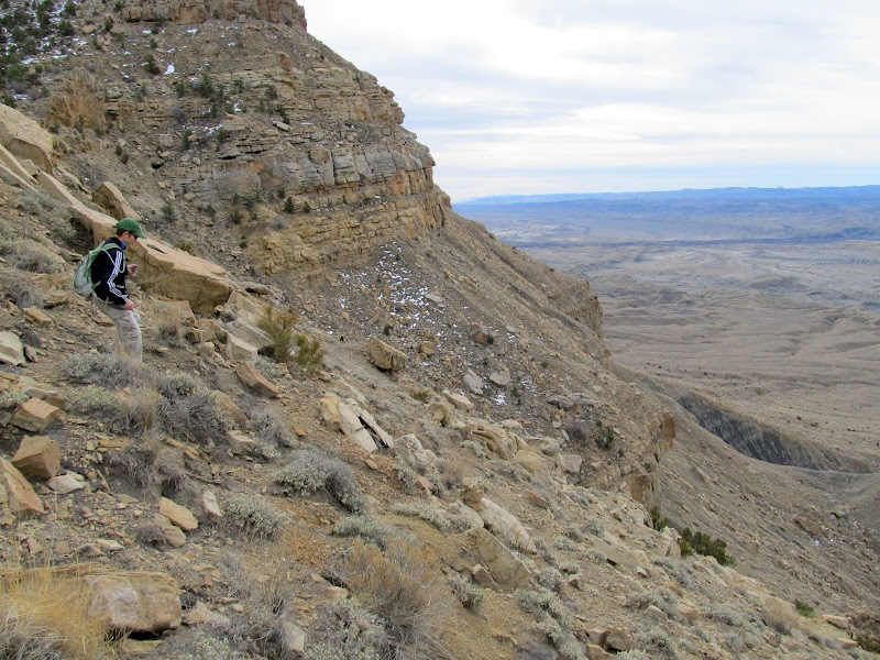
We got to our previous turn-around point where the trail drops through a small saddle of clay soil. The trail briefly ascended the smooth section of clay before becoming completely lost in rocks and boulders. We zig-zagged our way up through the rugged terrain while approaching an impossible-looking cliff band. Even from just below the cliffs they look impenetrable, but once directly at the base of the cliff band one can see a gap caused by a fault that slipped vertically.
Approaching the saddle
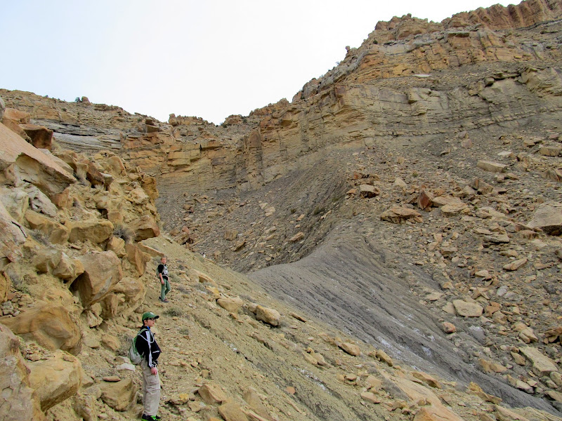
Ascending past the saddle
Above the saddle
Even from this close, it's difficult to make out the break in the cliffs
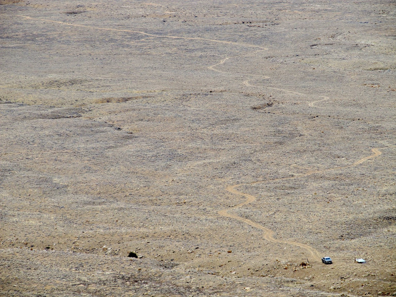
The truck and the road we drove in on
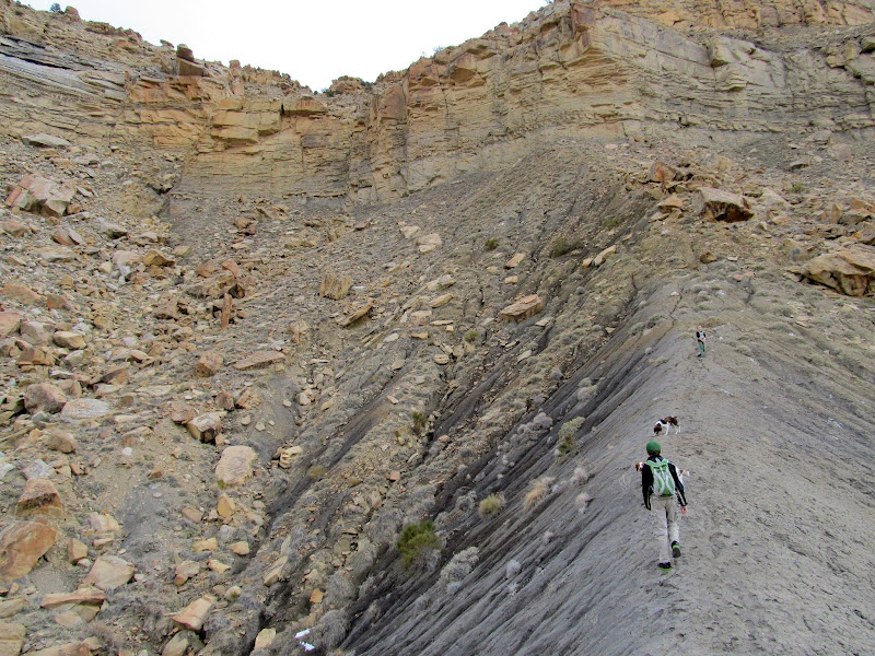
Zig-zagging up another bouldery section
The break in the cliffs
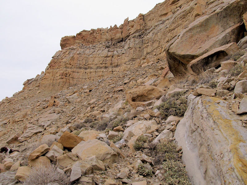
Traversing below a cliff band
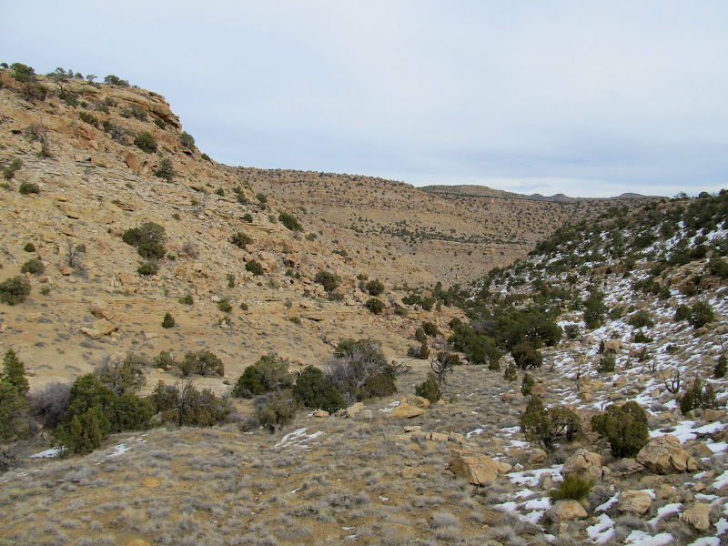
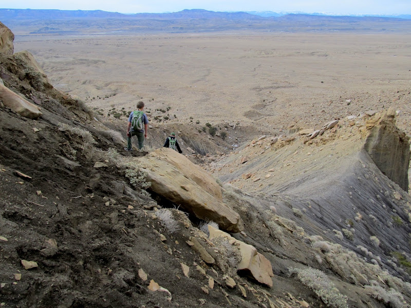
Beyond the cliff gap there was one more steep and rocky climb with very little sign of a trail. We slowly climbed until we'd gained enough elevation to traverse sideways again, putting us at the top of the Book Cliffs in a valley that leads to Little Park Wash.
Looking up at the final bouldery scramble before reaching the top
Nearing the top
Done climbing, now just to traverse a slope to a valley to the north
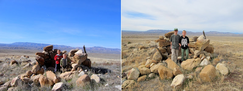
Michael and Bradley at the top of the trail
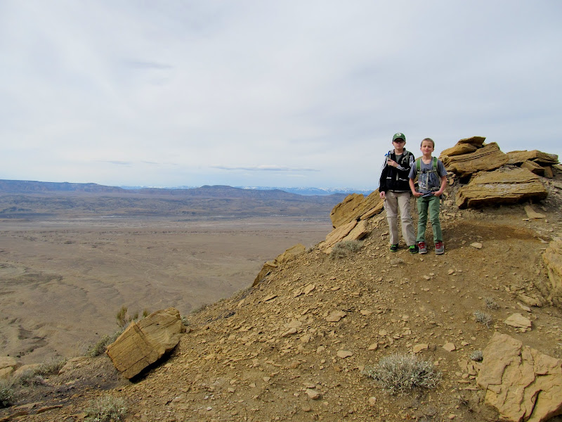
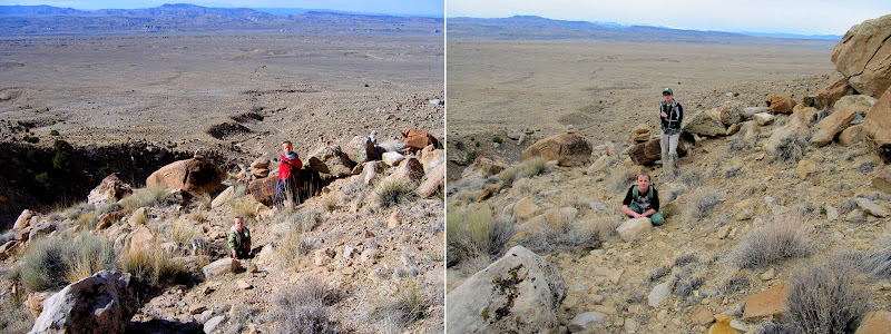
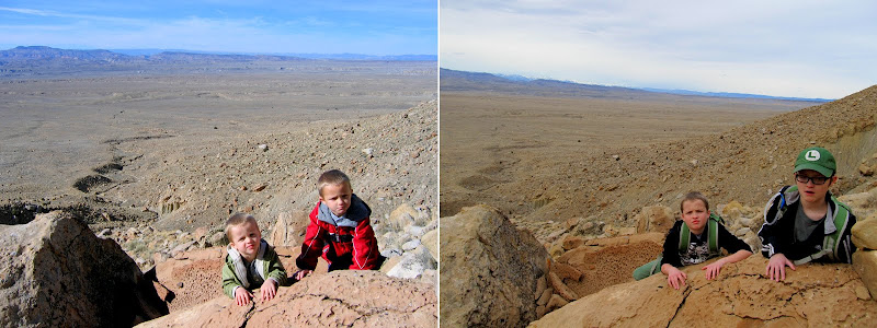
We rested at the top, had a snack, and explored a little bit. Michael and Bradley felt accomplished in having made it to the top, but neither was willing to continue hiking an extra half-mile to Little Park Wash. We started back down the trail, and what had taken us an hour and a half to ascend took only 35 minutes to descend.
Valley leading to Little Park Wash
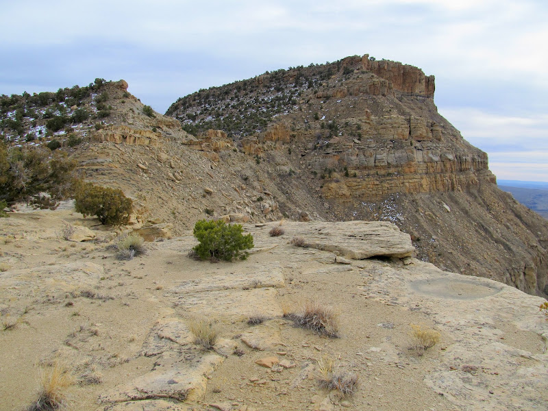
View south along the top ridge of the Book Cliffs
Price River cutting across the valley below Woodside
Starting the descent
Descending the trail
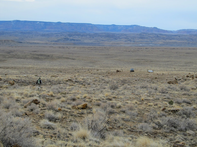
Walking back to the truck
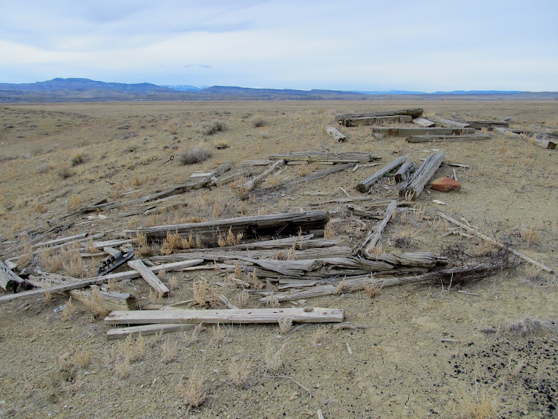
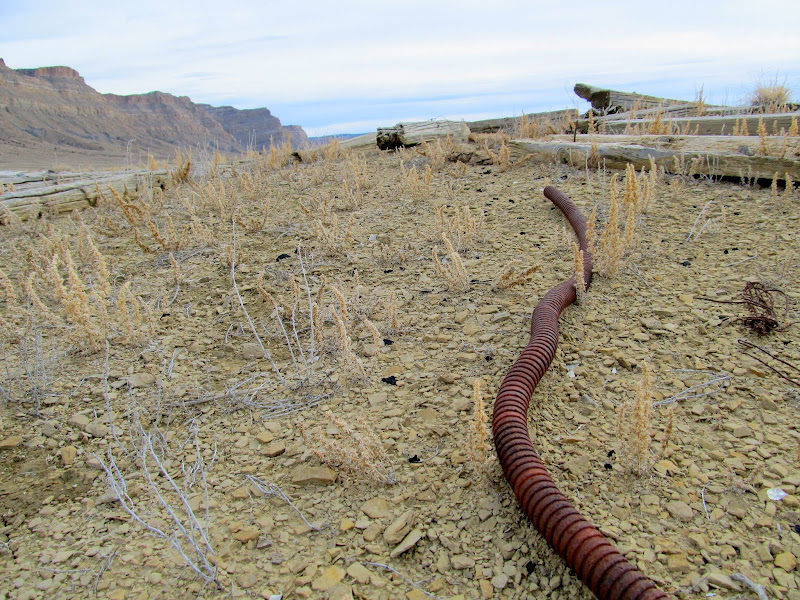
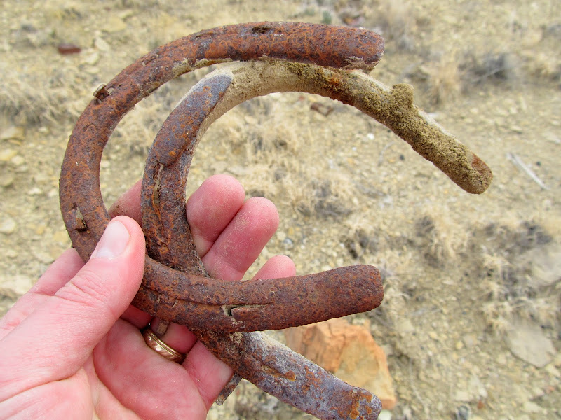
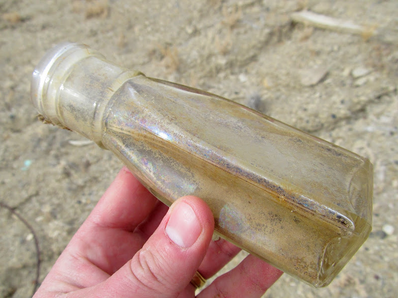
During the drive back to the highway I parked the truck and took a short walk over to what appeared to be a collapsed cabin that I'd spotted in Google Earth. Sure enough, there were timbers on the ground and a lot of old trash. Wood, barbed wire, bottles, and even railroad spikes littered the ground. I'd guess it was an old cow or sheep camp that was in use during the 50s or 60s. I took one last glimpse at the Book Cliffs before turning north onto the pavement and heading home. The mountains weren't as beautiful as the last time I'd seen them from this vantage point, but this time I left feeling much more satisfied.
Collapsed cabin
Rusty conduit
Horseshoes
Old glass bottle
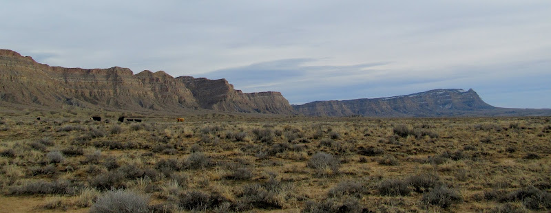
Book Cliffs
Full photo gallery:
https://picasaweb.google.com/Dennis.Udink/BookCliffsTrail
[parsehtml]<iframe width="800" height="600" frameborder="0" scrolling="no" marginheight="0" marginwidth="0" src="https://maps.google.com/maps?q=http:%2F%2Fudink.org%2Fgeo%2FBookCliffsTrail.kmz&hl=en&sspn=0.082137,0.169086&t=h&ie=UTF8&ll=39.310627,-110.315952&spn=0.019923,0.034289&z=15&output=embed"></iframe><br /><small><a href="https://maps.google.com/maps?q=http:%2F%2Fudink.org%2Fgeo%2FBookCliffsTrail.kmz&hl=en&sspn=0.082137,0.169086&t=h&ie=UTF8&ll=39.310627,-110.315952&spn=0.019923,0.034289&z=15&source=embed" style="color:#0000FF;text-align:left">View Larger Map</a></small>[/parsehtml]http://udink.org/geo/BookCliffsTrail.kmz
Parked at the end of the road and the beginning of the trail
2006-2014 comparison
Our route will take us through the cliffs in the center
Our route
The boys nearing the base of the climb
Starting to climb
A steep but easy section through soft dirt
Boulder and Torrey getting a drink of water
Snack break
2006-2014 comparison
Climbing through a bouldery section
2006-2014 comparison
Steep, bouldery section of trail
2006-2014 comparison
We got to our previous turn-around point where the trail drops through a small saddle of clay soil. The trail briefly ascended the smooth section of clay before becoming completely lost in rocks and boulders. We zig-zagged our way up through the rugged terrain while approaching an impossible-looking cliff band. Even from just below the cliffs they look impenetrable, but once directly at the base of the cliff band one can see a gap caused by a fault that slipped vertically.
Approaching the saddle
Ascending past the saddle
Above the saddle
Even from this close, it's difficult to make out the break in the cliffs
The truck and the road we drove in on
Zig-zagging up another bouldery section
The break in the cliffs
Traversing below a cliff band
Beyond the cliff gap there was one more steep and rocky climb with very little sign of a trail. We slowly climbed until we'd gained enough elevation to traverse sideways again, putting us at the top of the Book Cliffs in a valley that leads to Little Park Wash.
Looking up at the final bouldery scramble before reaching the top
Nearing the top
Done climbing, now just to traverse a slope to a valley to the north
Michael and Bradley at the top of the trail
We rested at the top, had a snack, and explored a little bit. Michael and Bradley felt accomplished in having made it to the top, but neither was willing to continue hiking an extra half-mile to Little Park Wash. We started back down the trail, and what had taken us an hour and a half to ascend took only 35 minutes to descend.
Valley leading to Little Park Wash
View south along the top ridge of the Book Cliffs
Price River cutting across the valley below Woodside
Starting the descent
Descending the trail
Walking back to the truck
During the drive back to the highway I parked the truck and took a short walk over to what appeared to be a collapsed cabin that I'd spotted in Google Earth. Sure enough, there were timbers on the ground and a lot of old trash. Wood, barbed wire, bottles, and even railroad spikes littered the ground. I'd guess it was an old cow or sheep camp that was in use during the 50s or 60s. I took one last glimpse at the Book Cliffs before turning north onto the pavement and heading home. The mountains weren't as beautiful as the last time I'd seen them from this vantage point, but this time I left feeling much more satisfied.
Collapsed cabin
Rusty conduit
Horseshoes
Old glass bottle
Book Cliffs
Full photo gallery:
https://picasaweb.google.com/Dennis.Udink/BookCliffsTrail
[parsehtml]<iframe width="800" height="600" frameborder="0" scrolling="no" marginheight="0" marginwidth="0" src="https://maps.google.com/maps?q=http:%2F%2Fudink.org%2Fgeo%2FBookCliffsTrail.kmz&hl=en&sspn=0.082137,0.169086&t=h&ie=UTF8&ll=39.310627,-110.315952&spn=0.019923,0.034289&z=15&output=embed"></iframe><br /><small><a href="https://maps.google.com/maps?q=http:%2F%2Fudink.org%2Fgeo%2FBookCliffsTrail.kmz&hl=en&sspn=0.082137,0.169086&t=h&ie=UTF8&ll=39.310627,-110.315952&spn=0.019923,0.034289&z=15&source=embed" style="color:#0000FF;text-align:left">View Larger Map</a></small>[/parsehtml]http://udink.org/geo/BookCliffsTrail.kmz

