- Joined
- Feb 15, 2020
- Messages
- 624
Another great trip this summer and finally got to spend a few days exploring the Beartooths! After my hiking buddy's injury in the Absarokas the plan for this one changed a bit, but I was happy to join up with @RyanP and his son for an awesome trip through the Beartooth Range. Originally I'd hoped to hit a few more of the high peaks - including Granite Peak - but the change of plans might have been a blessing in disguise, because I found some of my favorite spots in the Beartooths to be in the seemingly endless lake basins.
The start and end points of the trip remained unchanged - we would start our trip at Beartooth Pass and hike down to the Lower Lady of the Lake TH just outside of Cooke City. The route ended up at almost exactly 50 miles and only about 9,000' of elevation gain - the minimal total elevation gain due to starting near the 'high point' of our route on Day 1 and the relatively mellow terrain of the southern Beartooths.
Prior to this trip I got to warm up my legs a bit in Yellowstone NP by visiting @shredhiker at Pelican Creek and hiking up Wolverine Peak. It was pretty fun to keep an eye on Wolverine Peak as we wound our way back towards it from Beartooth Pass.
Day 1: Beartooth Pass to Jasper Lake [10.01 mi; +2,369'/-3,030']
Starting at Beartooth Pass was a treat - pretty much immediate awesome views, though they actually improved as we moved west away from the road. The early parts of the ridge are almost too wide to get a great view in both directions, but it just got better as we walked. The descent to Jasper Lake had a couple fun sections - most notably the downclimb at the waterfall above Jasper Lake - but nothing particularly difficult. Jasper Lake was a solid campsite, but they would only continue to get better.
We met at the Lower Lady of the Lake trailhead where we left @RyanP's car and drove my truck up to Beartooth Pass.
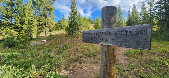
Walking away from the highway.
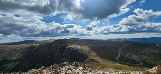
The sky was a little moody, but kind enough to allow our fairly exposed ridgewalk.
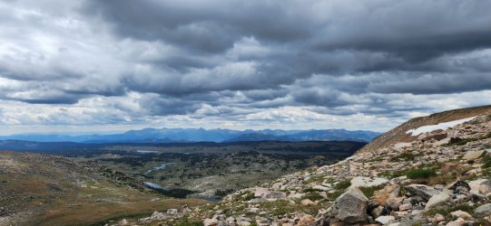
Looking down at Glacier Lake and Little Glacier Lake.
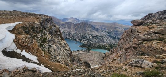
Another angle on Glacier Lake, this time including Triangle Lake and Emerald Lake.
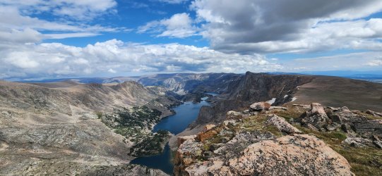
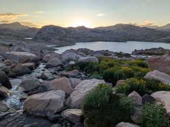
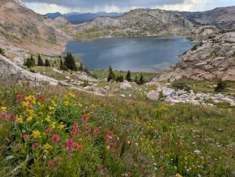
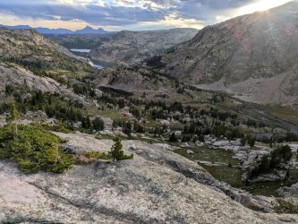
I was fascinated by the steep dropoffs on the northern side of the range, but found the lake basins on the south side to be the unique, more defining feature of the range.
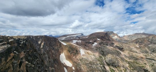
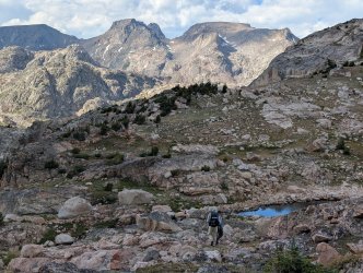
We followed this little chain of ponds down to Jasper Lake. This section also brought us a fair bit of boulder hopping, but nothing too crazy.
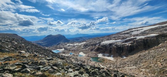
A few small waterfalls followed us down.
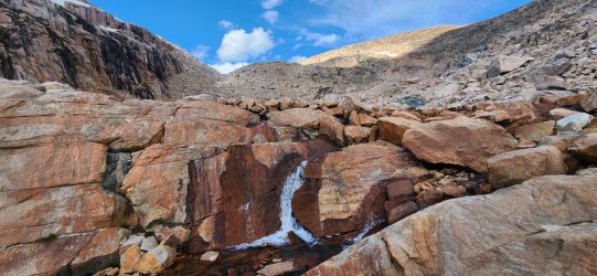
This waterfall involved a short Class 3 downclimb, but nothing crazy.
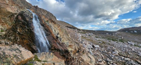
A nice little spot for the evening.
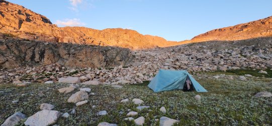
Day 2: Jasper Lake to Pleiades Lakes [5.88 mi; +1,211'/-1,594']
Today would begin our traversal of the lake basins that impressed me so much about the Beartooths. This whole area just felt like a playground for adults with a near infinite number of route options - pretty much everything 'goes'. We passed a number of lakes, visited the high point south of High Pass Lake, and finished in the fairly magical Sierra Creek basin at Pleiades Lakes.
Jasper Lake in the morning.
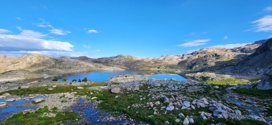
Beautiful start to the day walking around the lake.
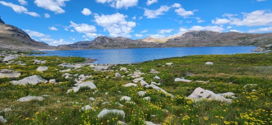
The aptly named Lonesome Mountain.
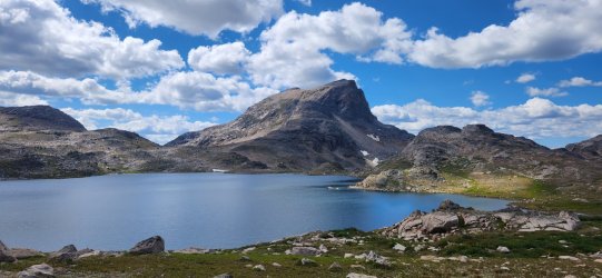
View from above High Pass.
High Pass Lake.
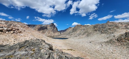
Donelson and Maryott Lakes from near High Pass.
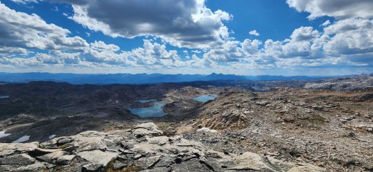
Heading down to Sierra Creek and Pleiades Lakes.
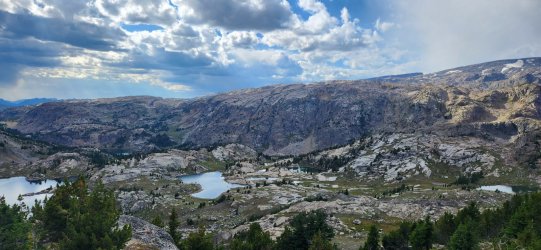
Better look at Crystal Lake - and another look at Pleiades Lakes.
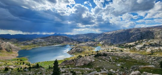
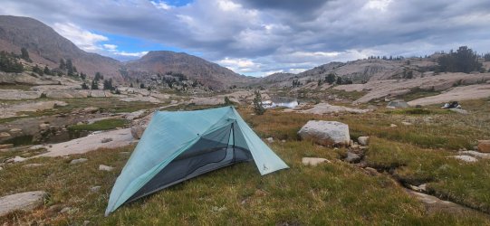
Home for the night! Beautiful spot - probably pretty buggy a week ago, but not bad at all for our visit.
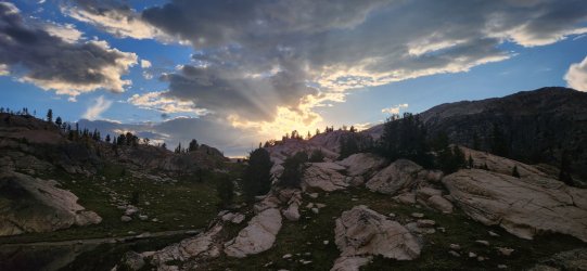
Sunset from camp.
Day 3: Pleiades Lakes to Lake of the Winds [9.23 mi; +1,378'/-1,393']
I really enjoyed the first part of the day along Sierra Creek, but the real highlight was the sheer number of beautiful alpine lakes. We passed more than you'd see in a whole trip in most other ranges: Alp Lake, Castle Lake, Summerville Lake, Erratic Lake, Robble Lake, Till Lake, Gravel Lake, Big Butte Lake, Anchor Lake, Desolation Lake, Rock Tree Lake, Z Lake, and finally Lake of the Winds - not to mention dozens of smaller unnamed ponds.
First thing in the morning I climbed up above Pleiades Lakes - @RyanP and his son had done so the night before and highly recommended the view. They were quite right.
Pilot Peak and Index Peak were visible pretty much throughout our route.
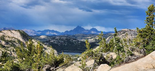
Alp Lake - looked to be some great fishing here for a smaller lake. Started to wish I'd brought my tenkara rod along.
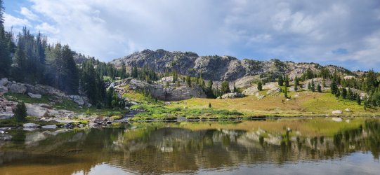
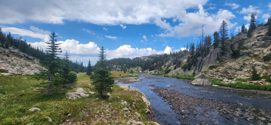
Looking down Sierra Creek.
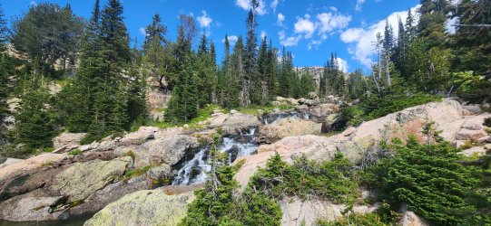
Climbed back up this waterfall to Summerville Lake.
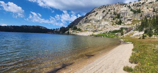
Nice sandy beach on the north side of Summerville Lake.
The flowers were starting to fade throughout the range, but still pretty spectacular in some sections.
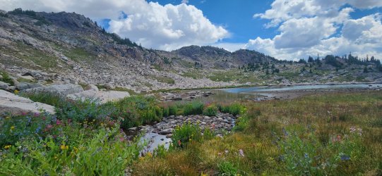
Fun little 'high point' above Big Butte Lake.
One of many spectacular unnamed ponds.
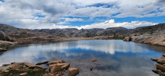
Z Lake.
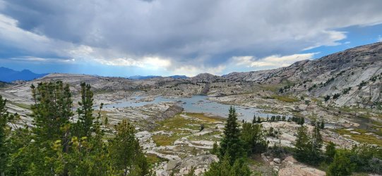
Pretty awesome spot by Lake of the Winds.
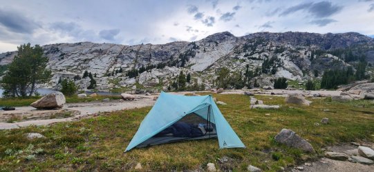
Late sunset over Lake of the Winds.
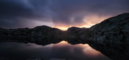
Day 4: Lake of the Winds to Cairn Lakes [6.79 mi; +1,637'/-1,302']
A pretty chill day that found us walking the 'Beaten Path' for about a mile and visiting far fewer - but much larger - lakes on the north side of the range. Point 10458 above Fossil Lake was a highlight, as was the entire route after leaving the 'Beaten Path' and heading up to Cairn Lakes via Oly Lake.
Pretty great reflections on Lake of the Winds in the morning.
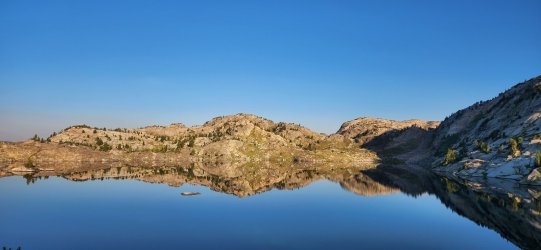
Gallery Lake was a pretty nice spot.
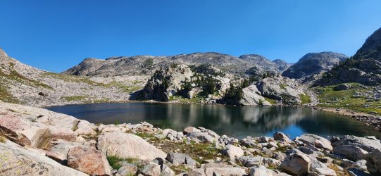
A beautiful unnamed lake (in which @RyanP took a swim) in the foreground and Fossil Lake in the distance.
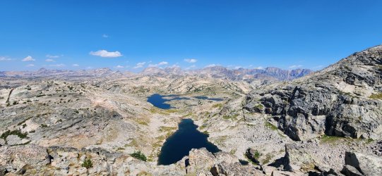
360° from Point 10458 above Fossil Lake.
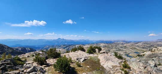
Pilot/Index Peaks always dominating the skyline to the south - and a good look at Wolverine Peak on the border of Yellowstone NP as well.
This fella came to pay a visit while I was taking a break above Fossil Lake.
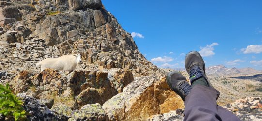
He hung around for quite a while.
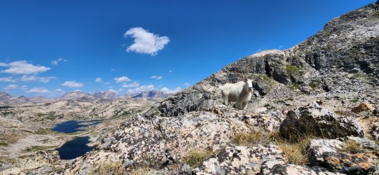
Some of the best flowers of the trip on the way down to Fossil Lake.
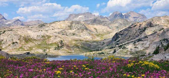
Took a walk on the 'Beaten Path' for about a mile.
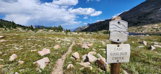
Pretty nice little trail.
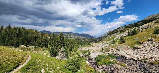
Hung around at Oly Lake for a bit - considered camping there, but decided to head up to Cairn Lakes for the night.
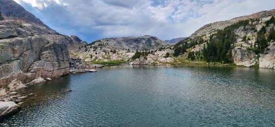
Really unique set of interconnecting ponds between Oly Lake and Cairn Lakes.
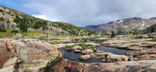
Lower Cairn Lake.
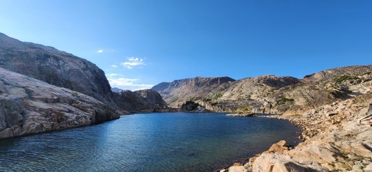
Day 5: Cairn Lakes to Upper Aero Lake [9.09 mi; +1,866'/-1,938']
While I'd already decided I wasn't going to be climbing to the top on this trip, I was really excited to get an up close look at Granite Peak today. It did not disappoint. Definitely some of the more rocky terrain of the trip between Cairn Lakes and the pass over to Aero Lakes, but wonderful views throughout.
Forgot to get a picture of my tent, but this is where it was.
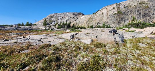
Eastern arm of Upper Cairn Lake.
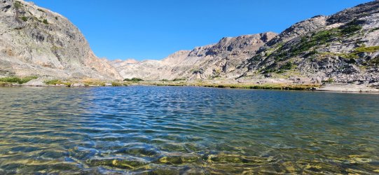
The Mount Villard Spires would be impressive all day and from every angle.
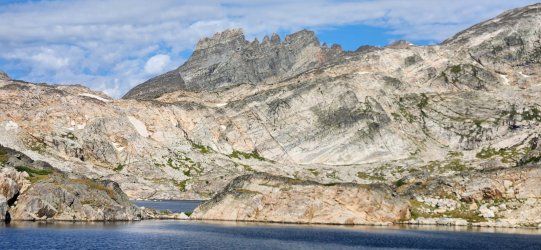
Entering the Sky Top Lakes basin.
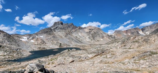
SW face of Granite Peak.
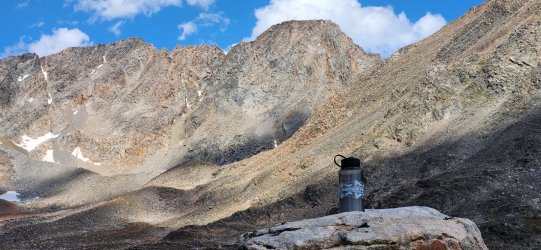
View from below the southern face of Granite Peak.
Looking back down the Sky Top Lakes basin.
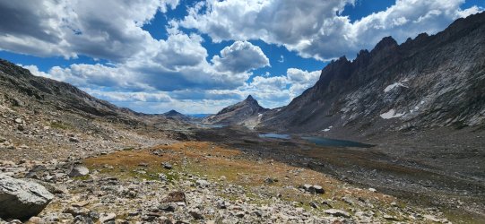
One last good look at Granite Peak before heading down to Upper Aero Lake.
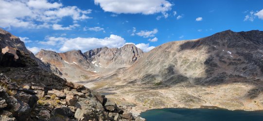
A new look at the Mount Villard Spires.
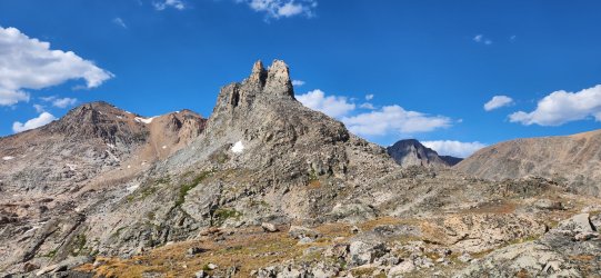
Up above Upper Aero Lake - many others visible in the distance.
Pretty good views all the way down.
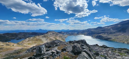
Our final camp might very well have been the best of the trip - and it's a competitive category.
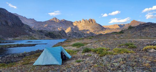
Looking down towards Lower Aero Lake and our route for the final day.
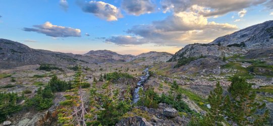
Day 6: Upper Aero Lake to Lower Lady of the Lake TH [9.51 mi; +547'/-2,636']
A pretty calm final day - and pretty much all on trail beyond Lower Aero Lake. Got a fairly early exit.
One last look back at the Spires.
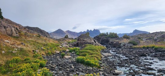
Calm day at Lower Aero Lake.
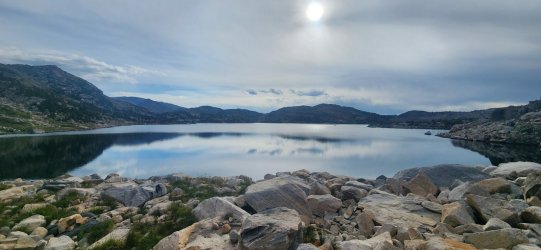
OK - really the last one.
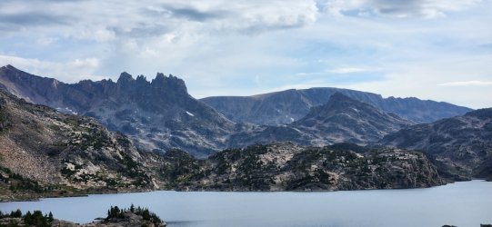
Back on the trail.
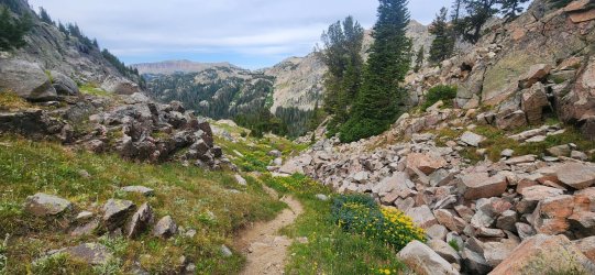
Lady of the Lake.
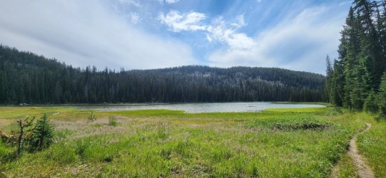
Not many views on this section.
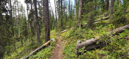
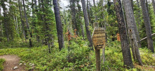
Leaving the wilderness.
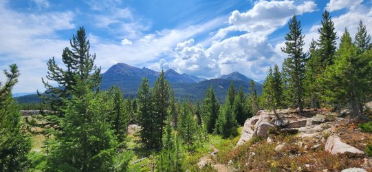
A few more nice views near the trailhead.
Another wonderful trip in the books! Very happy to have been joined by @RyanP and his son on this one. It wasn't the trip I'd originally planned, but hard to find anything to complain about. I'll certainly be back to hit the higher route and finally tackle Granite Peak!
Absolutely no sign of bears at the elevations we covered - or any wildlife besides goats, for that matter. Not having the best bear luck this season, but maybe I can remedy that with my September trip.
The start and end points of the trip remained unchanged - we would start our trip at Beartooth Pass and hike down to the Lower Lady of the Lake TH just outside of Cooke City. The route ended up at almost exactly 50 miles and only about 9,000' of elevation gain - the minimal total elevation gain due to starting near the 'high point' of our route on Day 1 and the relatively mellow terrain of the southern Beartooths.
Prior to this trip I got to warm up my legs a bit in Yellowstone NP by visiting @shredhiker at Pelican Creek and hiking up Wolverine Peak. It was pretty fun to keep an eye on Wolverine Peak as we wound our way back towards it from Beartooth Pass.
Day 1: Beartooth Pass to Jasper Lake [10.01 mi; +2,369'/-3,030']
Starting at Beartooth Pass was a treat - pretty much immediate awesome views, though they actually improved as we moved west away from the road. The early parts of the ridge are almost too wide to get a great view in both directions, but it just got better as we walked. The descent to Jasper Lake had a couple fun sections - most notably the downclimb at the waterfall above Jasper Lake - but nothing particularly difficult. Jasper Lake was a solid campsite, but they would only continue to get better.
We met at the Lower Lady of the Lake trailhead where we left @RyanP's car and drove my truck up to Beartooth Pass.

Walking away from the highway.

The sky was a little moody, but kind enough to allow our fairly exposed ridgewalk.

Looking down at Glacier Lake and Little Glacier Lake.

Another angle on Glacier Lake, this time including Triangle Lake and Emerald Lake.

I was fascinated by the steep dropoffs on the northern side of the range, but found the lake basins on the south side to be the unique, more defining feature of the range.

We followed this little chain of ponds down to Jasper Lake. This section also brought us a fair bit of boulder hopping, but nothing too crazy.

A few small waterfalls followed us down.

This waterfall involved a short Class 3 downclimb, but nothing crazy.

A nice little spot for the evening.

Day 2: Jasper Lake to Pleiades Lakes [5.88 mi; +1,211'/-1,594']
Today would begin our traversal of the lake basins that impressed me so much about the Beartooths. This whole area just felt like a playground for adults with a near infinite number of route options - pretty much everything 'goes'. We passed a number of lakes, visited the high point south of High Pass Lake, and finished in the fairly magical Sierra Creek basin at Pleiades Lakes.
Jasper Lake in the morning.

Beautiful start to the day walking around the lake.

The aptly named Lonesome Mountain.

View from above High Pass.
High Pass Lake.

Donelson and Maryott Lakes from near High Pass.

Heading down to Sierra Creek and Pleiades Lakes.

Better look at Crystal Lake - and another look at Pleiades Lakes.

Home for the night! Beautiful spot - probably pretty buggy a week ago, but not bad at all for our visit.

Sunset from camp.

Day 3: Pleiades Lakes to Lake of the Winds [9.23 mi; +1,378'/-1,393']
I really enjoyed the first part of the day along Sierra Creek, but the real highlight was the sheer number of beautiful alpine lakes. We passed more than you'd see in a whole trip in most other ranges: Alp Lake, Castle Lake, Summerville Lake, Erratic Lake, Robble Lake, Till Lake, Gravel Lake, Big Butte Lake, Anchor Lake, Desolation Lake, Rock Tree Lake, Z Lake, and finally Lake of the Winds - not to mention dozens of smaller unnamed ponds.
First thing in the morning I climbed up above Pleiades Lakes - @RyanP and his son had done so the night before and highly recommended the view. They were quite right.
Pilot Peak and Index Peak were visible pretty much throughout our route.

Alp Lake - looked to be some great fishing here for a smaller lake. Started to wish I'd brought my tenkara rod along.

Looking down Sierra Creek.

Climbed back up this waterfall to Summerville Lake.

Nice sandy beach on the north side of Summerville Lake.

The flowers were starting to fade throughout the range, but still pretty spectacular in some sections.

Fun little 'high point' above Big Butte Lake.
One of many spectacular unnamed ponds.

Z Lake.

Pretty awesome spot by Lake of the Winds.

Late sunset over Lake of the Winds.

Day 4: Lake of the Winds to Cairn Lakes [6.79 mi; +1,637'/-1,302']
A pretty chill day that found us walking the 'Beaten Path' for about a mile and visiting far fewer - but much larger - lakes on the north side of the range. Point 10458 above Fossil Lake was a highlight, as was the entire route after leaving the 'Beaten Path' and heading up to Cairn Lakes via Oly Lake.
Pretty great reflections on Lake of the Winds in the morning.

Gallery Lake was a pretty nice spot.

A beautiful unnamed lake (in which @RyanP took a swim) in the foreground and Fossil Lake in the distance.

360° from Point 10458 above Fossil Lake.
Pilot/Index Peaks always dominating the skyline to the south - and a good look at Wolverine Peak on the border of Yellowstone NP as well.

This fella came to pay a visit while I was taking a break above Fossil Lake.

He hung around for quite a while.

Some of the best flowers of the trip on the way down to Fossil Lake.

Took a walk on the 'Beaten Path' for about a mile.

Pretty nice little trail.

Hung around at Oly Lake for a bit - considered camping there, but decided to head up to Cairn Lakes for the night.

Really unique set of interconnecting ponds between Oly Lake and Cairn Lakes.

Lower Cairn Lake.

Day 5: Cairn Lakes to Upper Aero Lake [9.09 mi; +1,866'/-1,938']
While I'd already decided I wasn't going to be climbing to the top on this trip, I was really excited to get an up close look at Granite Peak today. It did not disappoint. Definitely some of the more rocky terrain of the trip between Cairn Lakes and the pass over to Aero Lakes, but wonderful views throughout.
Forgot to get a picture of my tent, but this is where it was.

Eastern arm of Upper Cairn Lake.

The Mount Villard Spires would be impressive all day and from every angle.

Entering the Sky Top Lakes basin.

SW face of Granite Peak.

View from below the southern face of Granite Peak.
Looking back down the Sky Top Lakes basin.

One last good look at Granite Peak before heading down to Upper Aero Lake.

A new look at the Mount Villard Spires.

Up above Upper Aero Lake - many others visible in the distance.
Pretty good views all the way down.

Our final camp might very well have been the best of the trip - and it's a competitive category.

Looking down towards Lower Aero Lake and our route for the final day.

Day 6: Upper Aero Lake to Lower Lady of the Lake TH [9.51 mi; +547'/-2,636']
A pretty calm final day - and pretty much all on trail beyond Lower Aero Lake. Got a fairly early exit.
One last look back at the Spires.

Calm day at Lower Aero Lake.

OK - really the last one.

Back on the trail.

Lady of the Lake.

Not many views on this section.

Leaving the wilderness.

A few more nice views near the trailhead.

Another wonderful trip in the books! Very happy to have been joined by @RyanP and his son on this one. It wasn't the trip I'd originally planned, but hard to find anything to complain about. I'll certainly be back to hit the higher route and finally tackle Granite Peak!
Absolutely no sign of bears at the elevations we covered - or any wildlife besides goats, for that matter. Not having the best bear luck this season, but maybe I can remedy that with my September trip.

