John Morrow
Member
- Joined
- May 22, 2015
- Messages
- 1,102
Hi all,
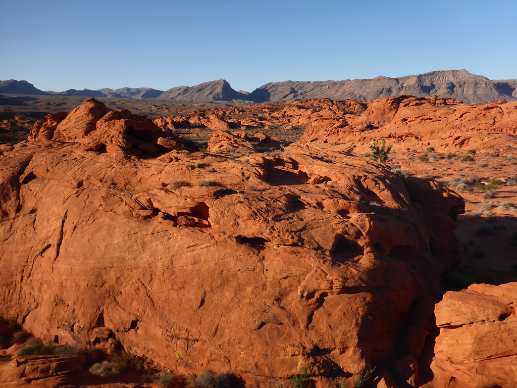
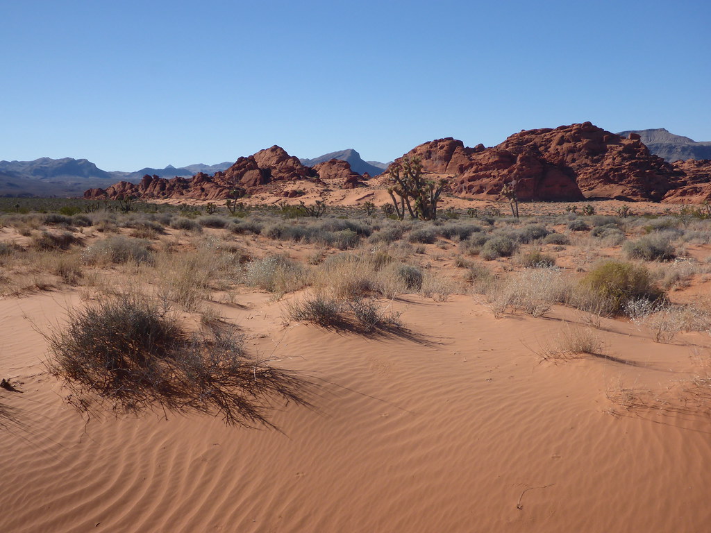
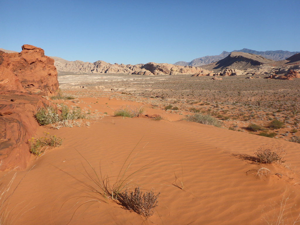
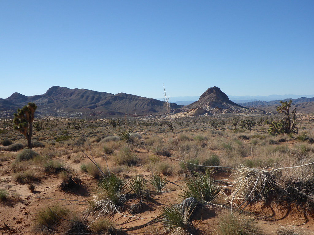
Just returned from about 4 weeks of southern NV, AZ and CA travel: Gold Butte, Lake Mead, Havasu National Wildlife Refuge, Havasu and Mt Nutt Wildernesses, Mojave NP, Ash Meadows National Wildlife Refuge and DVNP.
I've been reluctant to do full on TRs of late. As I see certain places get more and more visitation I don't want to contribute. Few of these places seem to garner attention so I don't mind sharing for those who may be interested. Outside of road camping, there seems to be much quiet wild country. My past TRs haven't seemed to change that, fortunately. Thus, I've uploaded photos on Flickr and also some topo maps because I think only a few will continue to be interested. Time may tell I am wrong on that. I can't remember seeing a single hiker within sight on any of these hikes unless it was an urban park or official maintained trail. A little case in point: the main high Mesquite Dunes looked like a elk wallow of trampling. But just by walking in to the lesser dunes from the Devils Corn stacks I was able to find an abundance of untracked wind waves to photograph. I had heard complaints of the photographic options just moments before in Stovepipe Wells. I am almost saddened by folks' lack of imagination.
Albums found here on Flickr:
https://www.flickr.com/photos/23557848@N03/albums
Reach out for questions on details.
John
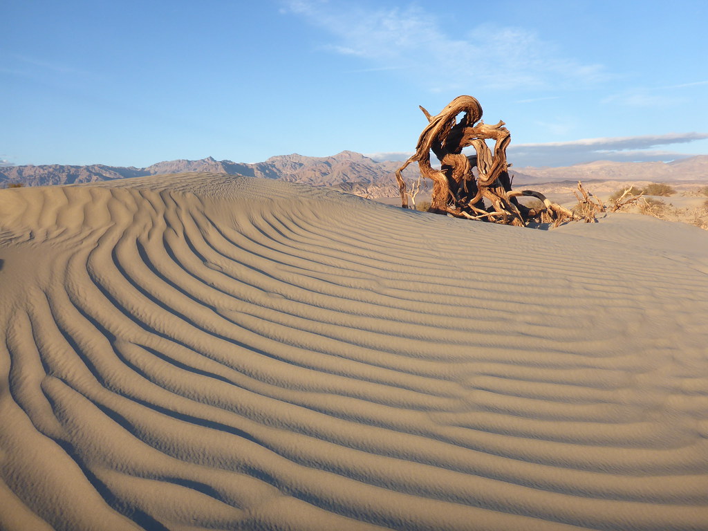 love the dunes! by John Morrow, on Flickr
 Distant Cottonwood Mountains by John Morrow, on Flickr
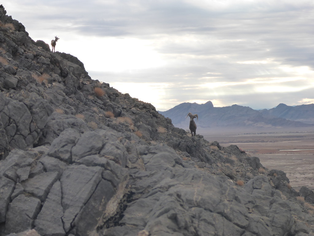 sheep by John Morrow, on Flickr
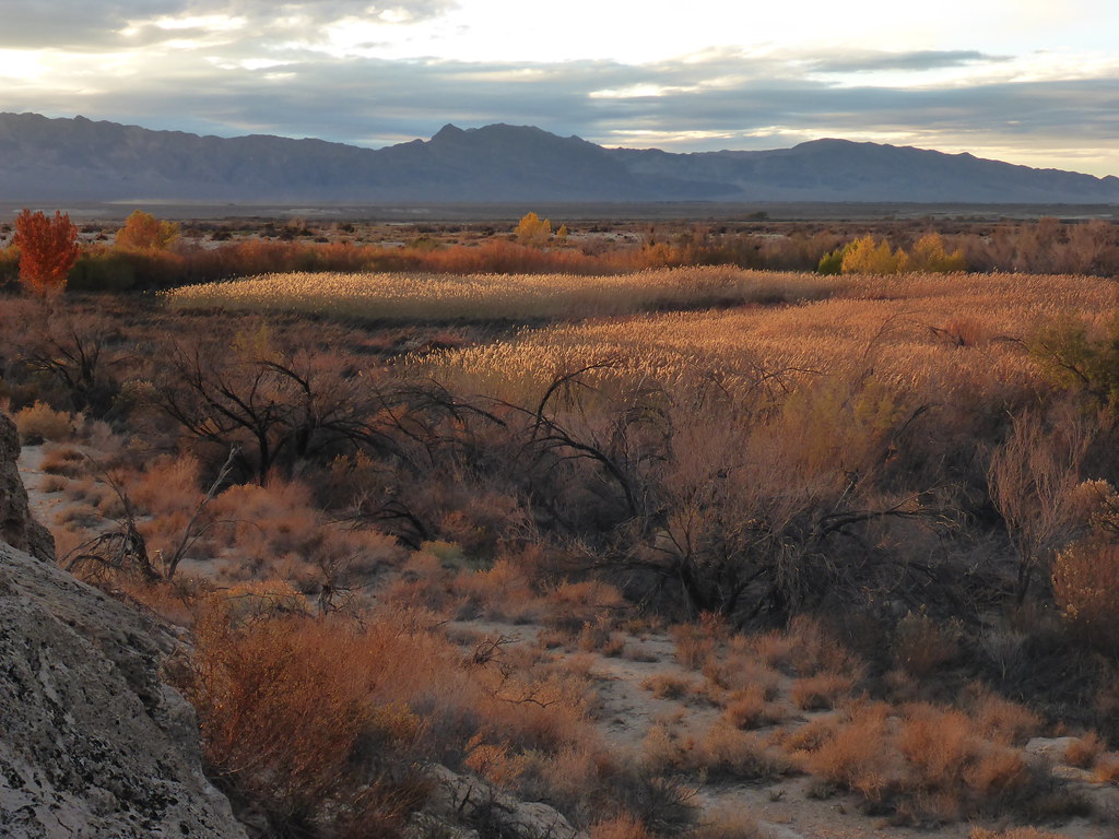 Ash Meadows sunset by John Morrow, on Flickr
 Pete's Point route by John Morrow, on Flickr
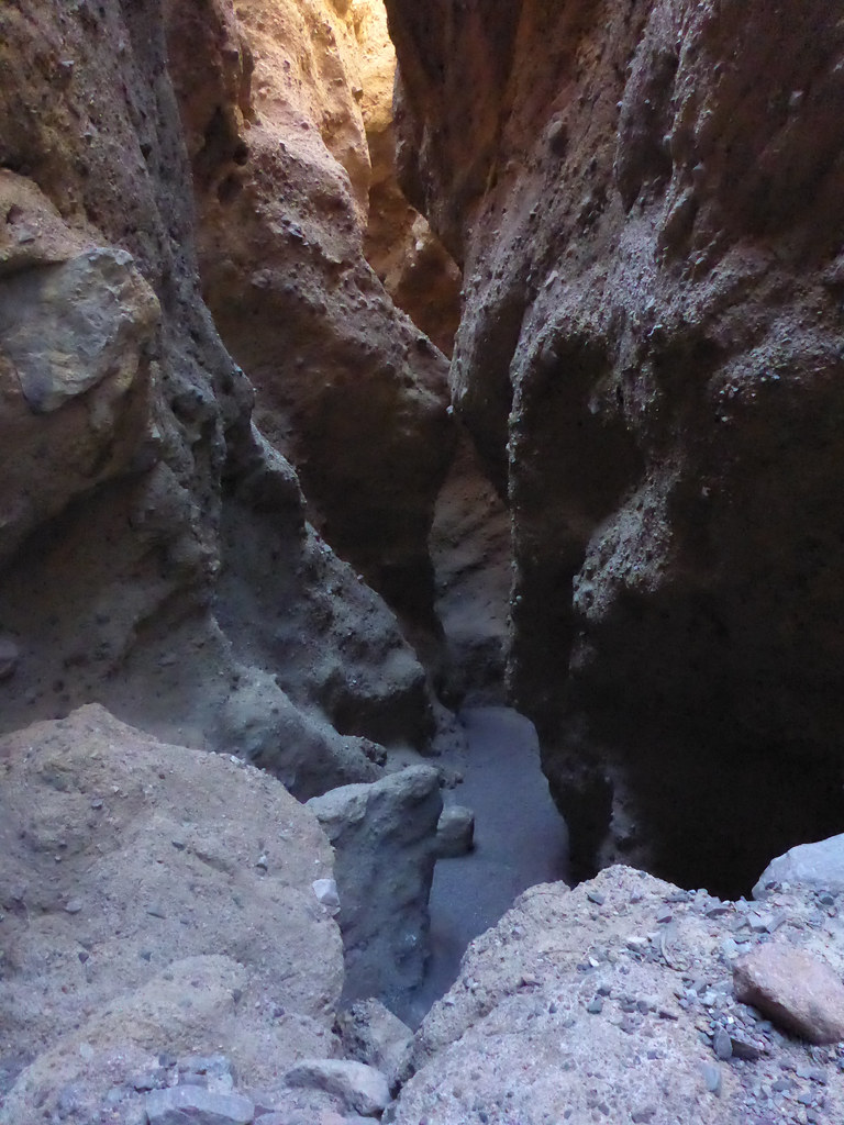 slot two by John Morrow, on Flickr
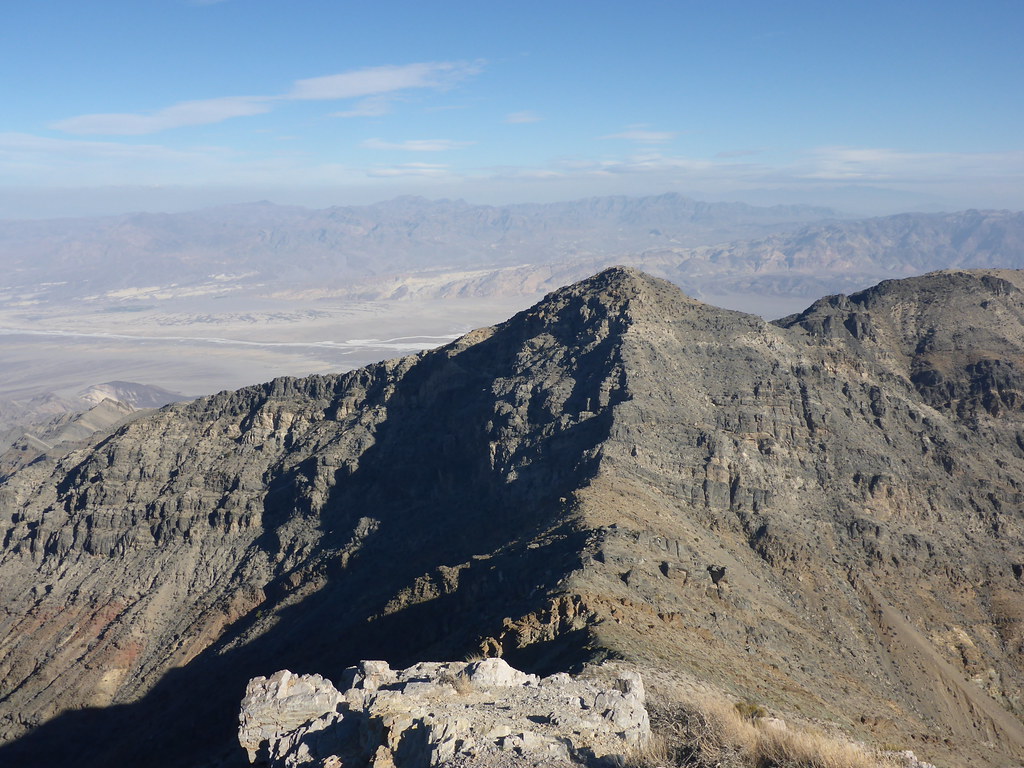
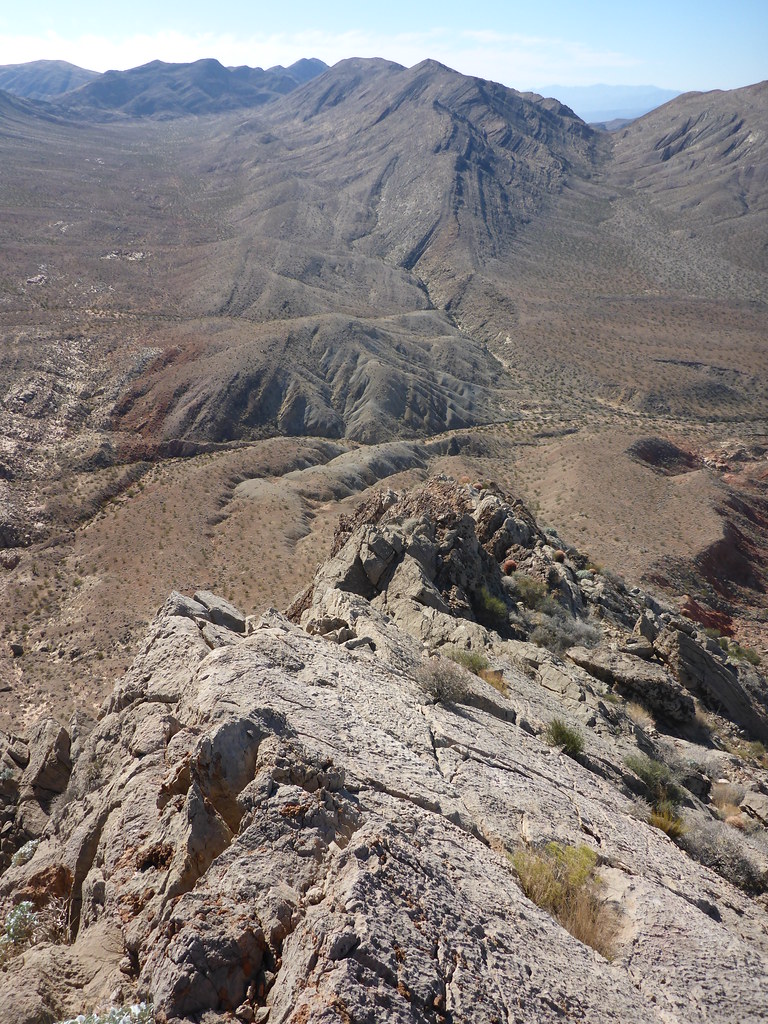
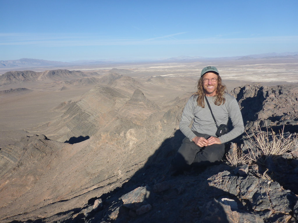 summit shot by John Morrow, on Flickr
 Piute Spring below by John Morrow, on Flickr
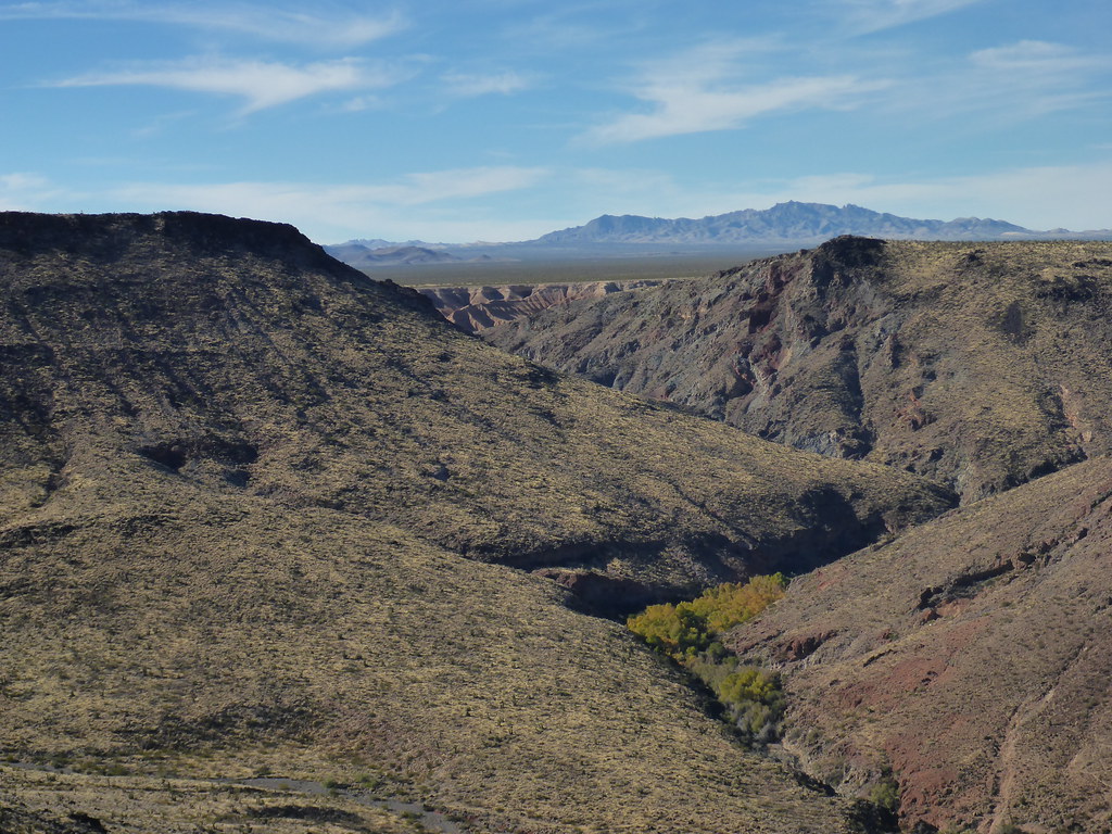
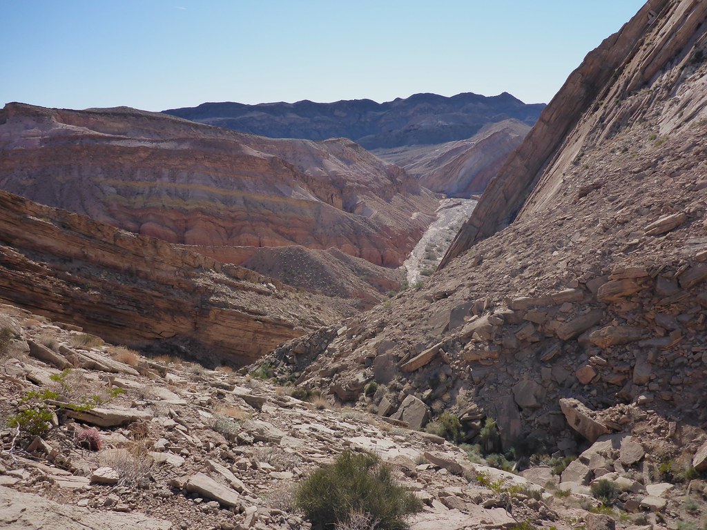
 beautiful canyon by John Morrow, on Flickr
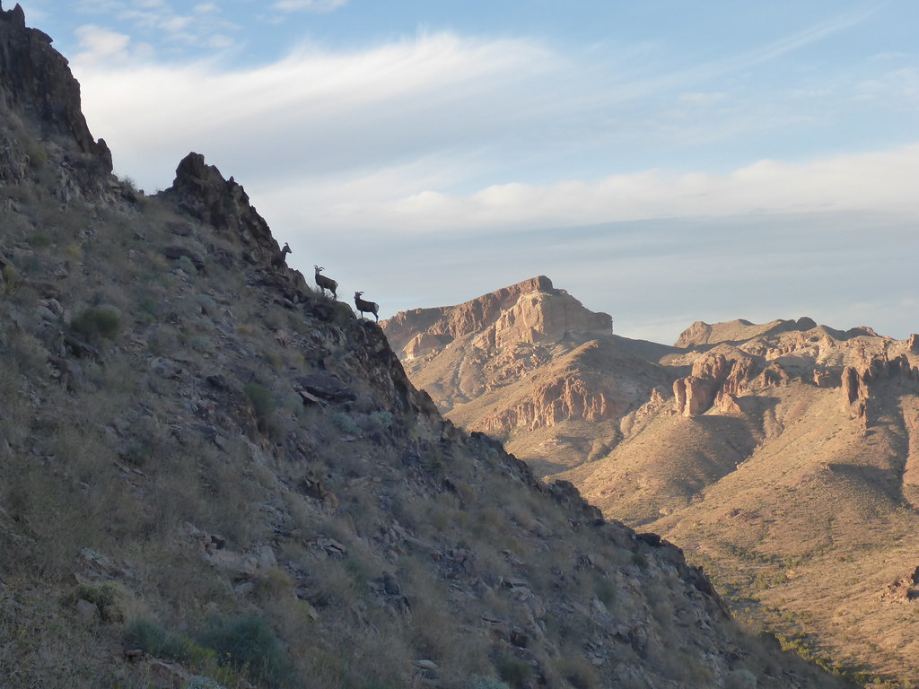 sheep! by John Morrow, on Flickr
 My route by John Morrow, on Flickr
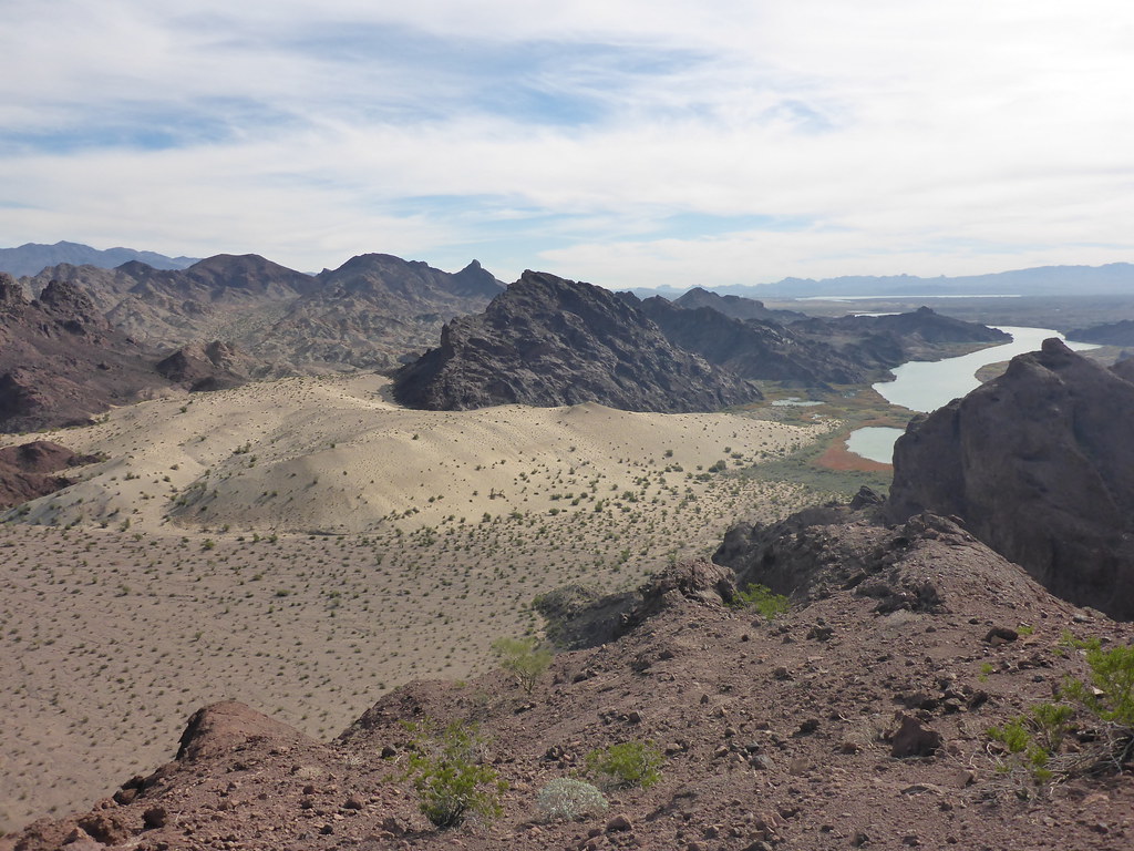
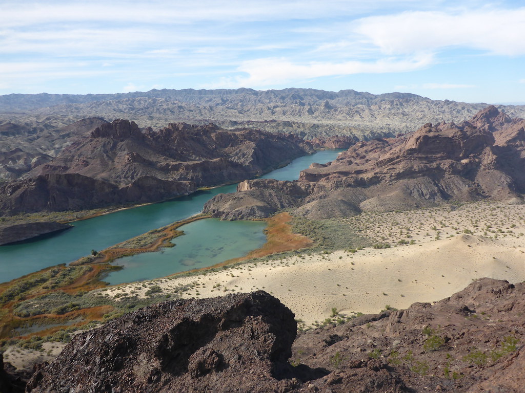 river, dunes, lagoons by John Morrow, on Flickr
 dropping to Narrows by John Morrow, on Flickr
 fun stemming by John Morrow, on Flickr
 leaving the basin by John Morrow, on Flickr
excellent scramble route by John Morrow, on Flickr
 yesterday's exploration on skyline by John Morrow, on Flickr
 more sand by John Morrow, on Flickr
 Mud Wash Red Dunes by John Morrow, on Flickr
 a bit of J-Tree forest by John Morrow, on Flickr
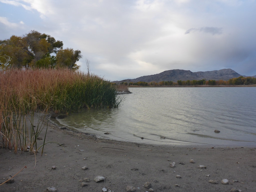 Pahranagat Lake Camp morning by John Morrow, on Flickr
Just returned from about 4 weeks of southern NV, AZ and CA travel: Gold Butte, Lake Mead, Havasu National Wildlife Refuge, Havasu and Mt Nutt Wildernesses, Mojave NP, Ash Meadows National Wildlife Refuge and DVNP.
I've been reluctant to do full on TRs of late. As I see certain places get more and more visitation I don't want to contribute. Few of these places seem to garner attention so I don't mind sharing for those who may be interested. Outside of road camping, there seems to be much quiet wild country. My past TRs haven't seemed to change that, fortunately. Thus, I've uploaded photos on Flickr and also some topo maps because I think only a few will continue to be interested. Time may tell I am wrong on that. I can't remember seeing a single hiker within sight on any of these hikes unless it was an urban park or official maintained trail. A little case in point: the main high Mesquite Dunes looked like a elk wallow of trampling. But just by walking in to the lesser dunes from the Devils Corn stacks I was able to find an abundance of untracked wind waves to photograph. I had heard complaints of the photographic options just moments before in Stovepipe Wells. I am almost saddened by folks' lack of imagination.
Albums found here on Flickr:
https://www.flickr.com/photos/23557848@N03/albums
Reach out for questions on details.
John
love the dunes! by John Morrow, on FlickrDistant Cottonwood Mountains by John Morrow, on Flickrsheep by John Morrow, on FlickrAsh Meadows sunset by John Morrow, on FlickrPete's Point route by John Morrow, on Flickrslot two by John Morrow, on Flickrsummit shot by John Morrow, on FlickrPiute Spring below by John Morrow, on Flickrbeautiful canyon by John Morrow, on Flickrsheep! by John Morrow, on FlickrMy route by John Morrow, on Flickrriver, dunes, lagoons by John Morrow, on Flickrdropping to Narrows by John Morrow, on Flickrfun stemming by John Morrow, on Flickrleaving the basin by John Morrow, on Flickrexcellent scramble route by John Morrow, on Flickr
yesterday's exploration on skyline by John Morrow, on Flickrmore sand by John Morrow, on FlickrMud Wash Red Dunes by John Morrow, on Flickra bit of J-Tree forest by John Morrow, on FlickrPahranagat Lake Camp morning by John Morrow, on Flickr
Last edited:

