John Morrow
Member
- Joined
- May 22, 2015
- Messages
- 1,102
Mojave is one of the most underrated National Park Service Units in the nation, in my humble opinion.
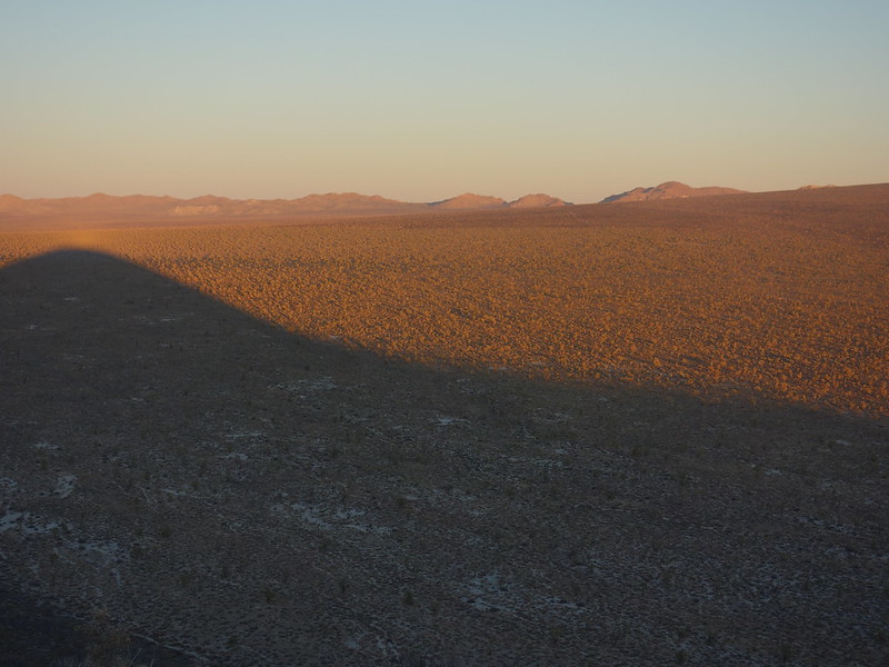
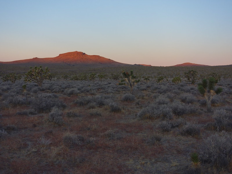
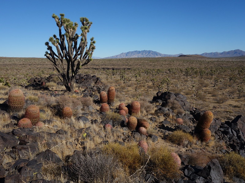
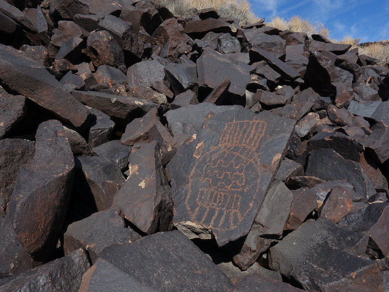
After mostly a rest day I arrived on the Aiken Mine Road NW of Baker, CA. Any SUV can make it down this road with ease, from the North, for the first 8 miles (a spot roughly between Button Mtn and Club Peak). Jeepers told me getting through to the Lava Beds is very rough. My plan was for a sunset walk up Button Mtn and then a walk across Joshua tree flats to Club Peak the following day, as well as a search for a noted petroglyph area.
Button has old cinder mine roads up it a ways which made for easy dusk walking.
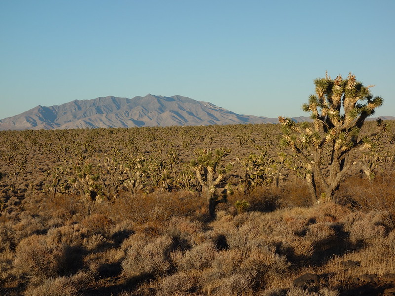
Most expansive Joshua Tree forest on Earth by John Morrow, on Flickr
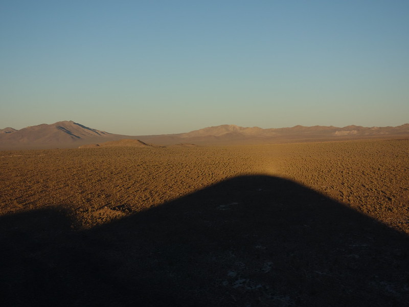
Sunset on Button Mtn (a cinder cone) and its shadow by John Morrow, on Flickr
majesty by John Morrow, on Flickr
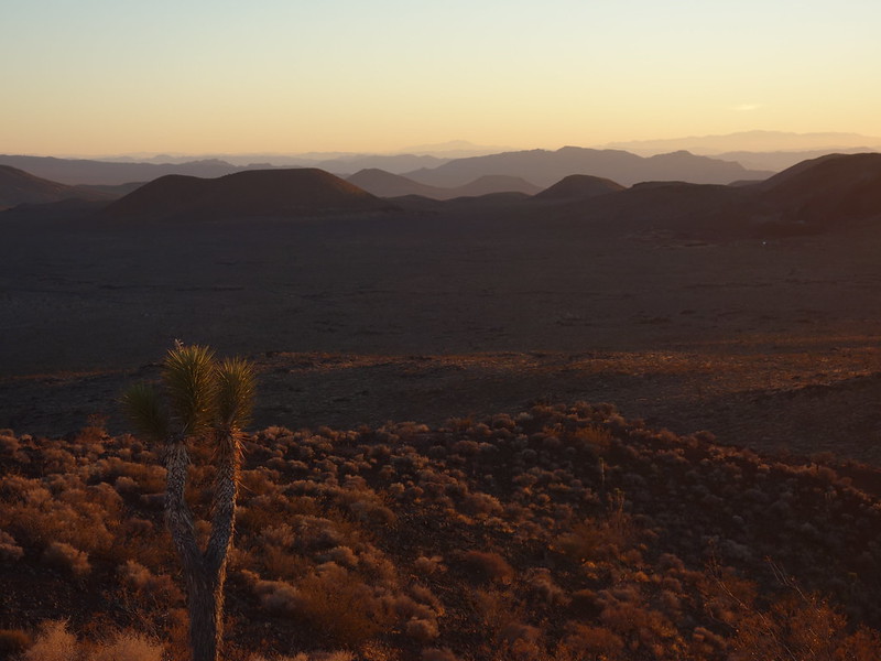
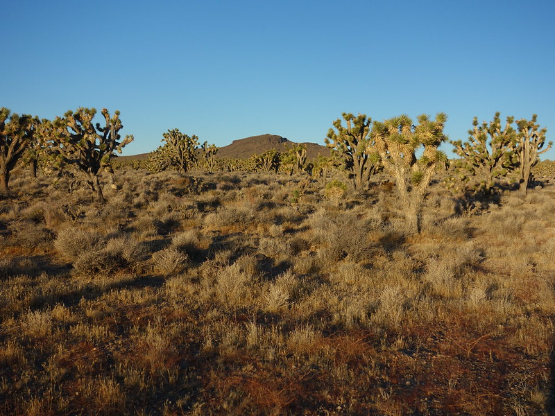
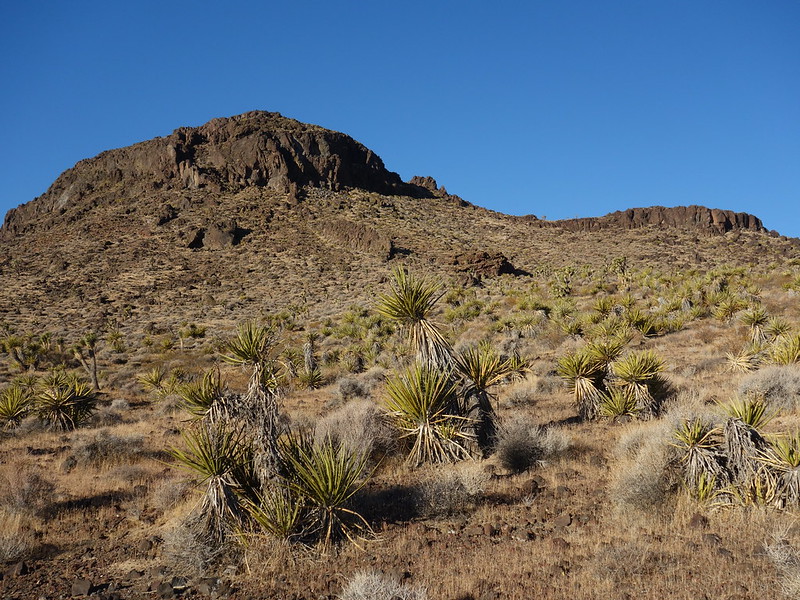
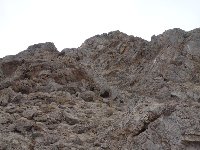
A pleasant walk through joshua trees and an easy scramble brought me to the top of Club Peak.
first light on Club Peak by John Morrow, on Flickr
through the trees by John Morrow, on Flickr
crescent shaped gully looks passable by John Morrow, on Flickr
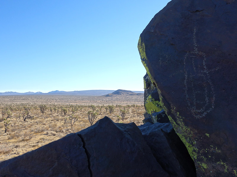
a opportunistic find...walk to the isolated outcrop by John Morrow, on Flickr
distant Clark Mtn and Mescal Range by John Morrow, on Flickr
DSC05570 by John Morrow, on Flickr

DSC05595 by John Morrow, on Flickr
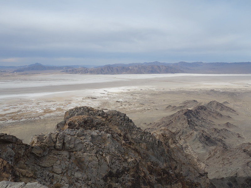
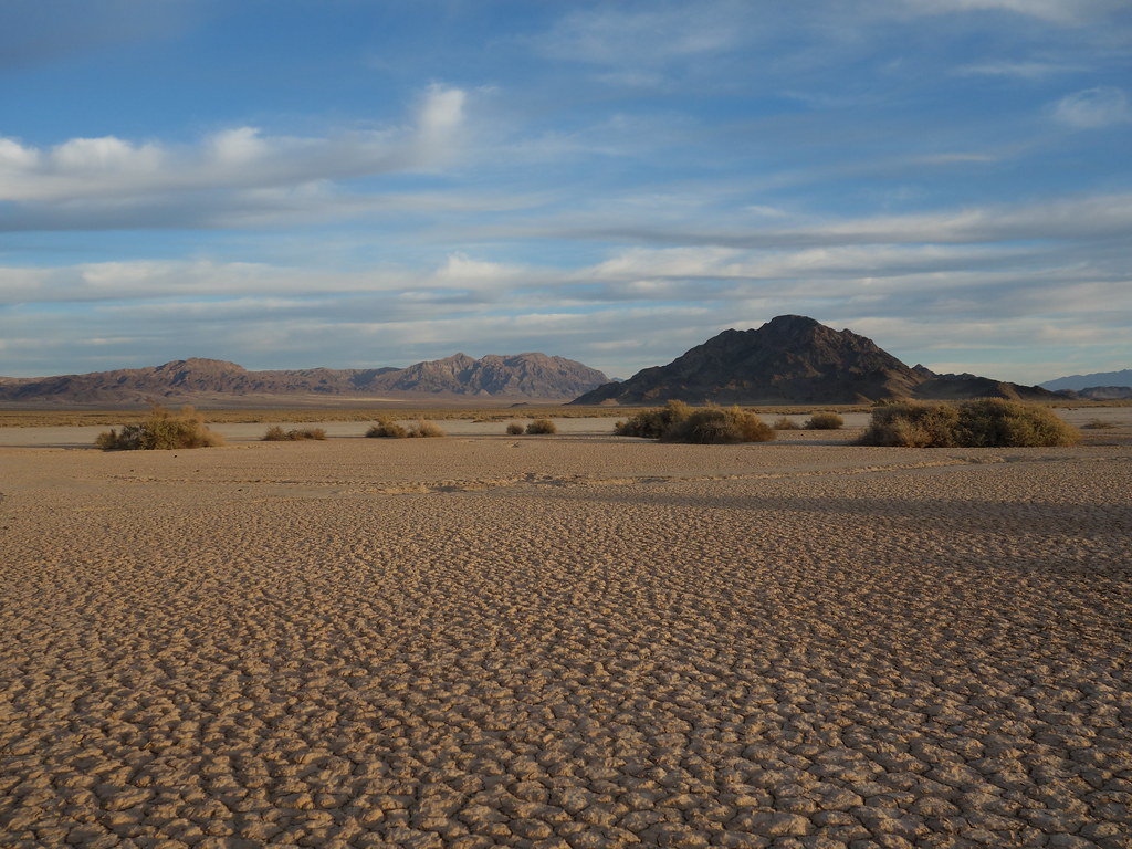
After a rock art hunt I moved all the way down to the western edge of the park on the east side of Soda Lake following decent dirt roads south of Baker.
Made it for sunset in time to take photos of lovely evening light upon the dry lake. So many different evaporated salt and cracked earth formations on the lake bed.
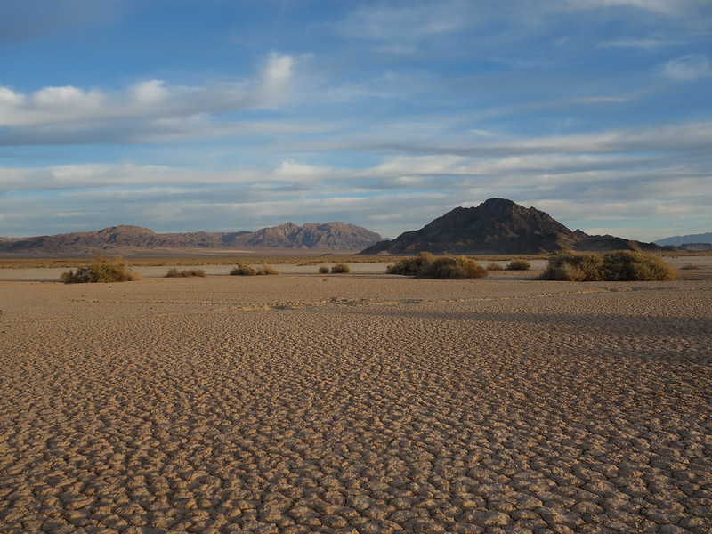
Cowhole Mtn over Soda Lake by John Morrow, on Flickr
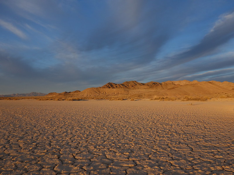
eve glow by John Morrow, on Flickr
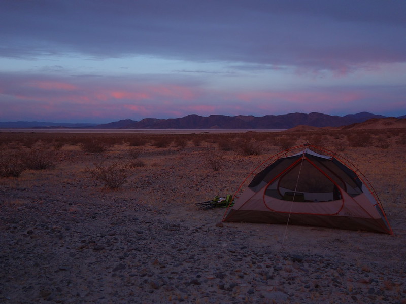
camp sunset by John Morrow, on Flickr
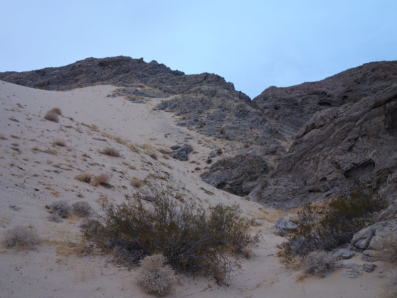
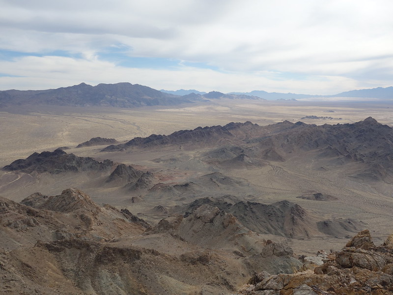
The next day it was a fine couple of scrambles up Little Cowhole and Cowhole Mountains.
Little Cowhole:
dryfall starts the scramble by John Morrow, on Flickr
classic Class 2 by John Morrow, on Flickr
looking back by John Morrow, on Flickr
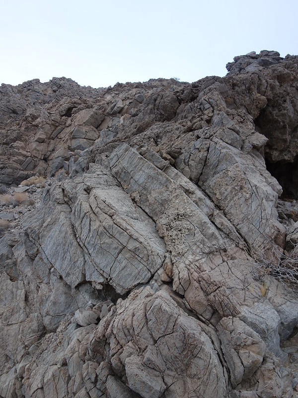
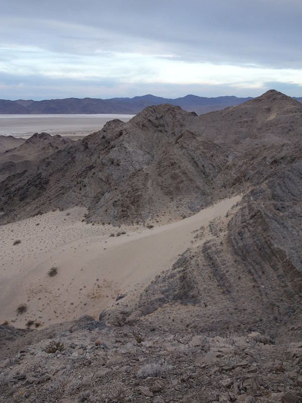
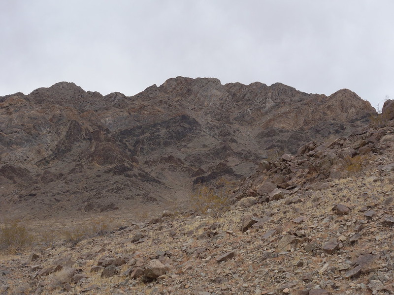
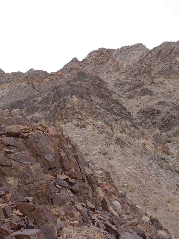
On Cowhole I took a central north rib up, which had some avoidable difficult sections. I descended the northwest ridge which is more solid and interesting, though requires a bit of routefinding to detour off the ridge crest around a vertical pitch.
the North Ridge appears by John Morrow, on Flickr
North Ridge splits the face by John Morrow, on Flickr
toward the upper East notch by John Morrow, on Flickr
 E
E
by John Morrow, on Flickr
NW by John Morrow, on Flickr

NW Ridge descent by John Morrow, on Flickr
Full albums:

 www.flickr.com
 www.flickr.com
After mostly a rest day I arrived on the Aiken Mine Road NW of Baker, CA. Any SUV can make it down this road with ease, from the North, for the first 8 miles (a spot roughly between Button Mtn and Club Peak). Jeepers told me getting through to the Lava Beds is very rough. My plan was for a sunset walk up Button Mtn and then a walk across Joshua tree flats to Club Peak the following day, as well as a search for a noted petroglyph area.
Button has old cinder mine roads up it a ways which made for easy dusk walking.
Most expansive Joshua Tree forest on Earth by John Morrow, on Flickr
Sunset on Button Mtn (a cinder cone) and its shadow by John Morrow, on Flickr
majesty by John Morrow, on Flickr
A pleasant walk through joshua trees and an easy scramble brought me to the top of Club Peak.
first light on Club Peak by John Morrow, on Flickr
through the trees by John Morrow, on Flickr
crescent shaped gully looks passable by John Morrow, on Flickr
a opportunistic find...walk to the isolated outcrop by John Morrow, on Flickr
distant Clark Mtn and Mescal Range by John Morrow, on Flickr
DSC05570 by John Morrow, on Flickr
DSC05595 by John Morrow, on Flickr
After a rock art hunt I moved all the way down to the western edge of the park on the east side of Soda Lake following decent dirt roads south of Baker.
Made it for sunset in time to take photos of lovely evening light upon the dry lake. So many different evaporated salt and cracked earth formations on the lake bed.
Cowhole Mtn over Soda Lake by John Morrow, on Flickr
eve glow by John Morrow, on Flickr
camp sunset by John Morrow, on Flickr
The next day it was a fine couple of scrambles up Little Cowhole and Cowhole Mountains.
Little Cowhole:
dryfall starts the scramble by John Morrow, on Flickr
classic Class 2 by John Morrow, on Flickr
looking back by John Morrow, on Flickr
On Cowhole I took a central north rib up, which had some avoidable difficult sections. I descended the northwest ridge which is more solid and interesting, though requires a bit of routefinding to detour off the ridge crest around a vertical pitch.
the North Ridge appears by John Morrow, on Flickr
North Ridge splits the face by John Morrow, on Flickr
toward the upper East notch by John Morrow, on Flickr
Eby John Morrow, on Flickr
NW by John Morrow, on Flickr
NW Ridge descent by John Morrow, on Flickr
Full albums:
Mojave Natl Preserve Volcanic Field Natl Natural Landmark Dec 6, 2020
Explore this photo album by John Morrow on Flickr!
www.flickr.com
Mojave NP: climbing the Cowhole Mtns above Soda Lake Dec 6-7, 2020
Explore this photo album by John Morrow on Flickr!
www.flickr.com
Last edited: