Ranger Joe
Feed the Rangers, not the wildlife!
- Joined
- Jan 27, 2012
- Messages
- 46
Quick links to all trip reports in this series:
Part 1 | Part 2 | Part 3 | Part 4 | Part 5 | Part 6 | Part 7 | Part 8 | Part 9
Yeah, it's me again. Sick of this stuff yet? I'm sure not, especially sitting here in cold, rainy Ohio. Today's adventure takes us to the Aspen area, as we visit the most photographed spot in the state, then hit the slopes.
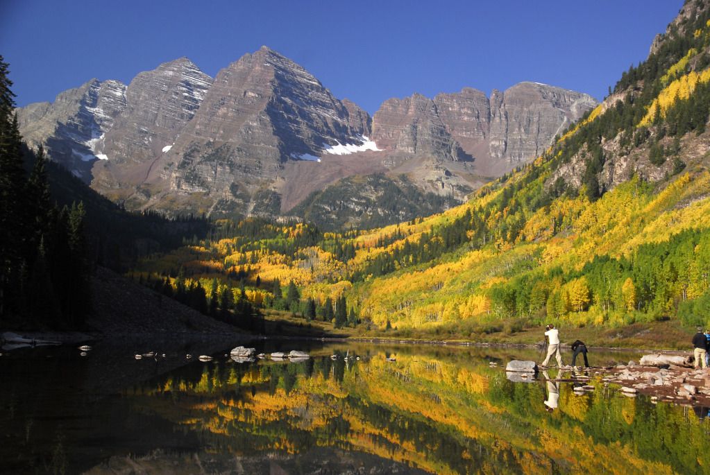
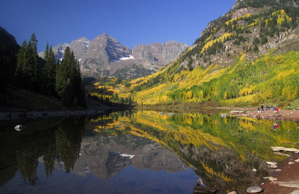
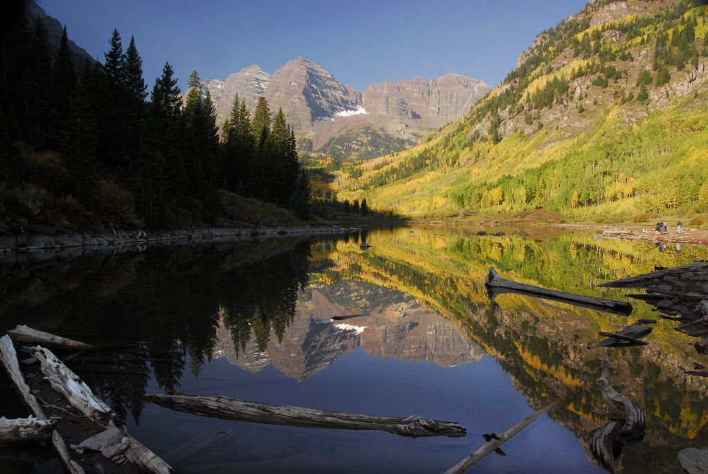
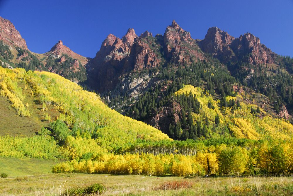
These are the Maroon Bells. You've probably seen them in advertising or on a poster somewhere. There's a reason they're the most photographed mountains in the state...they're absolutely beautiful, even more so with yellow aspen trees and a mirror-like reflection in Maroon Lake.
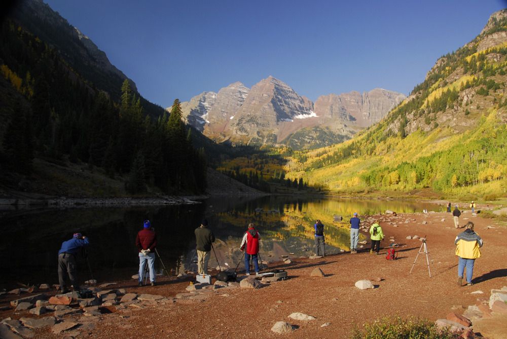
It was fun watching this group of photographers along the edge of Maroon Lake. The one on the far left would pack up and move over to the far right...then, a few minutes later, whoever was on the then on the far left would likewise peel off and move over to the far right...and so on and so on. If given enough time I imagine the group would move all the way around the lake and end up where they started from in the first place.
Yet more mountains near Maroon Lake.
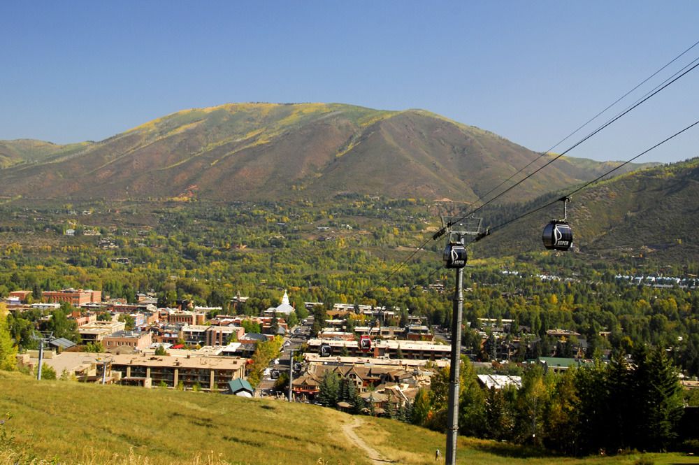
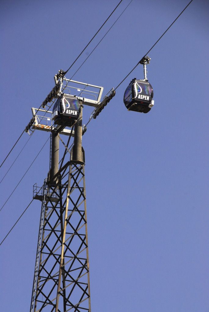
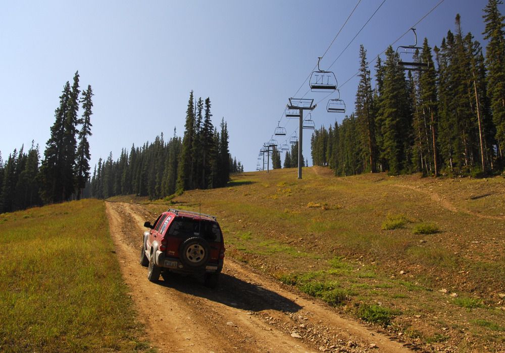
After shooting about 20 gigabytes worth of digital at the Bells, we moved on to the town of Aspen. We had no plans to shop, dine or otherwise spend any time in the town itself...our goal was to find the start of the Aspen Summer Road, tucked in between two condo buildings at the base of the ski slope. Once located, we made our way up this dirt road, which provides access to the ski lift towers and other facilities on the ski slope.
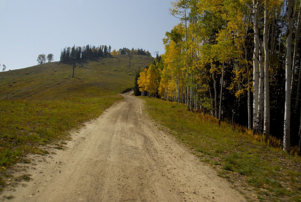
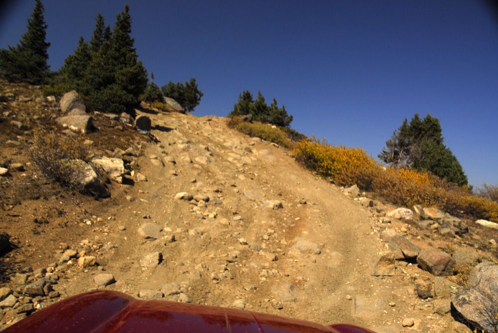
On the way up.
It was an easy drive, and provided great views back into town.
Once we made it to the top, we got a bit turned around and came back down off the mountain on the Little Annie Road.
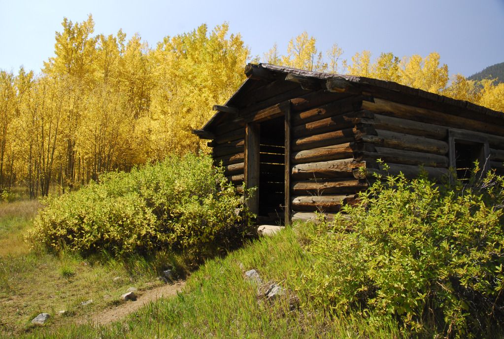
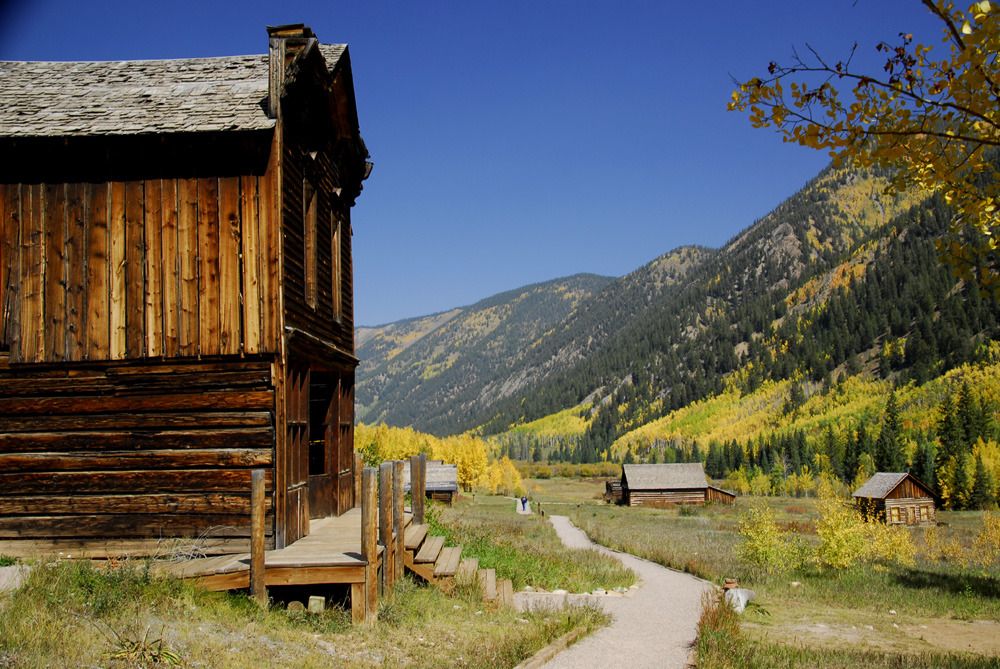
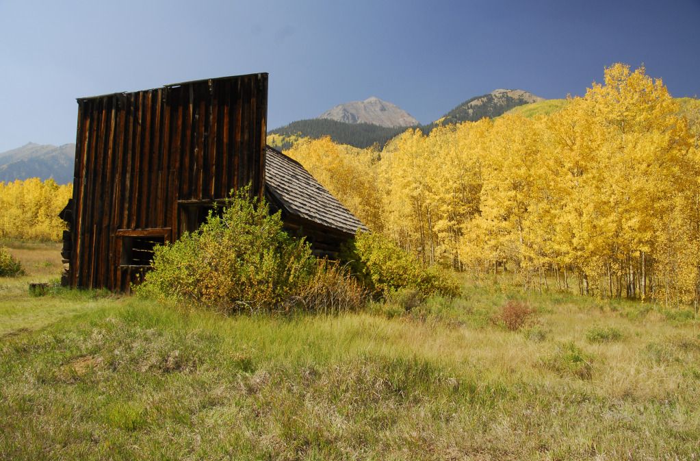
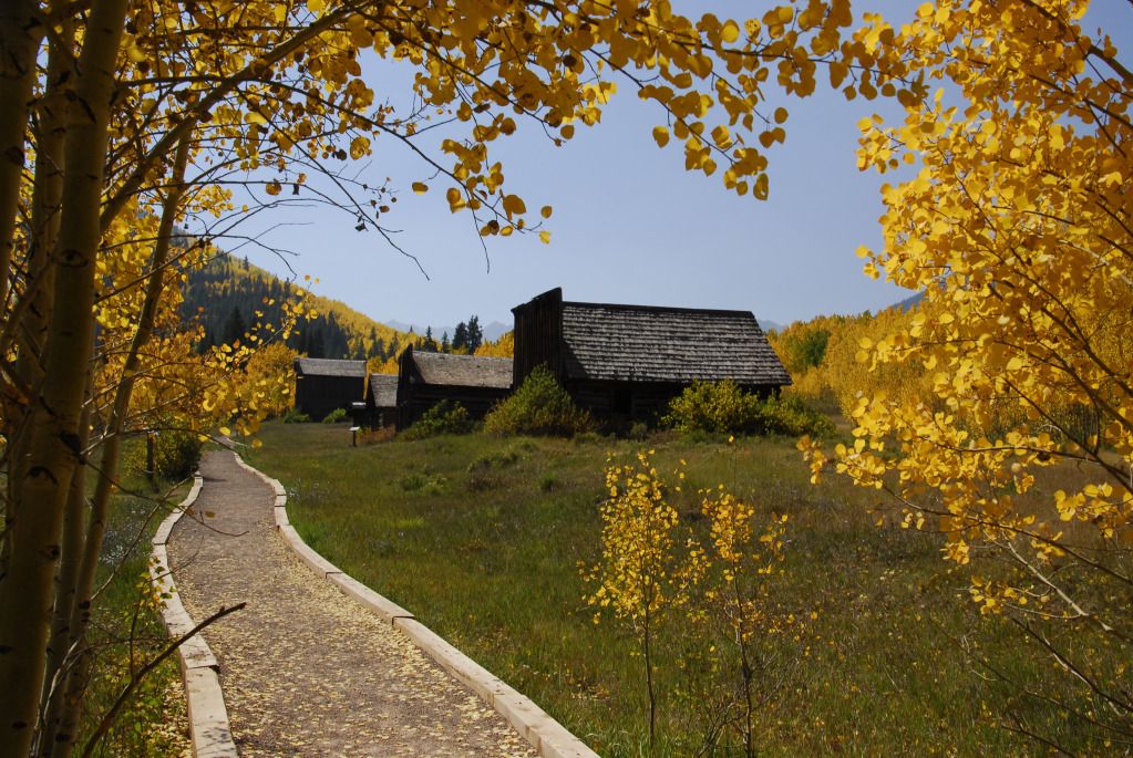
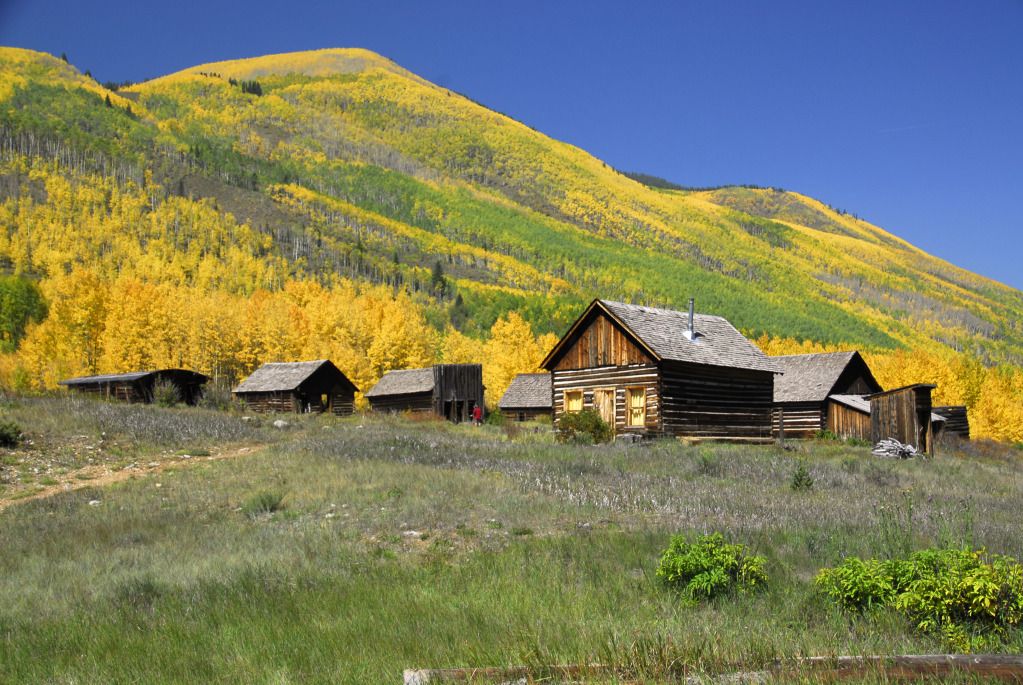
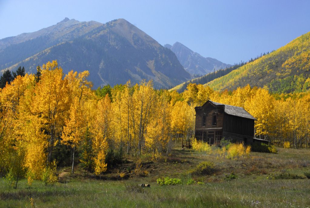
Little Annie Road took us to a paved road, which lead us to the ghost town of Ashcroft.
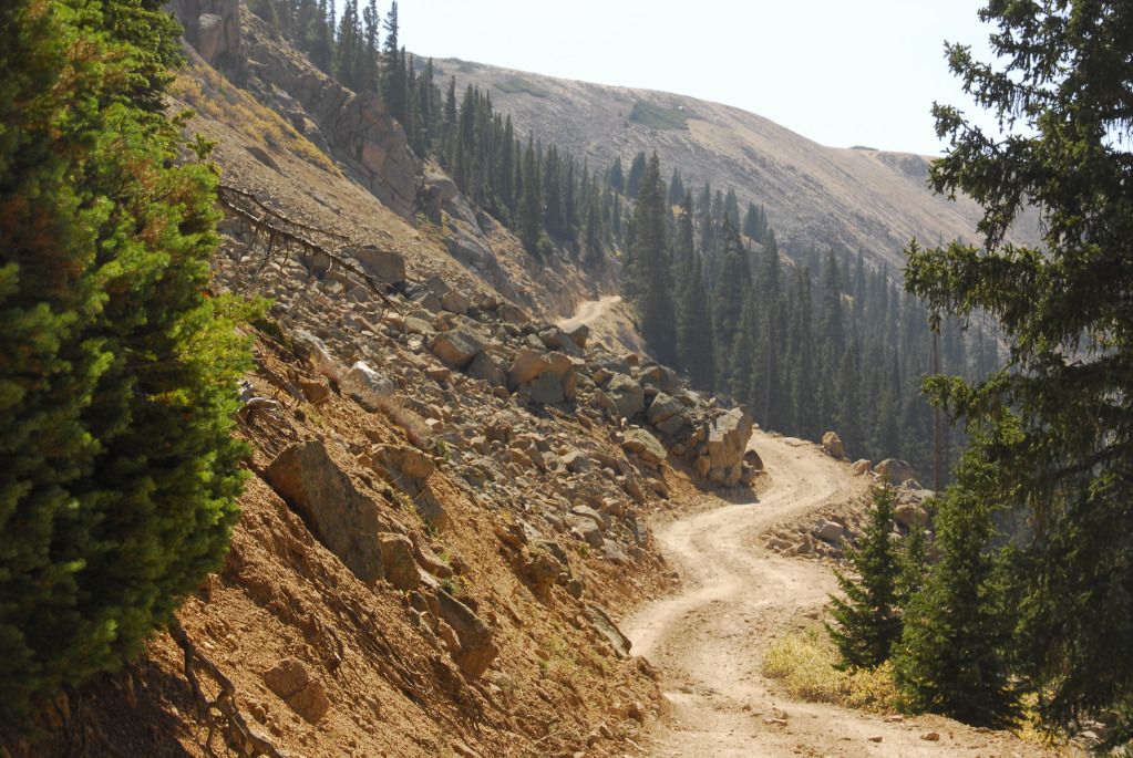
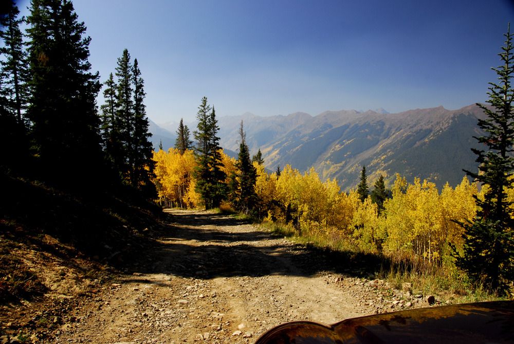
From Ashcroft, we found the Express Creek Road, which would lead us up to Taylor Pass and the Richmond Hill Road.
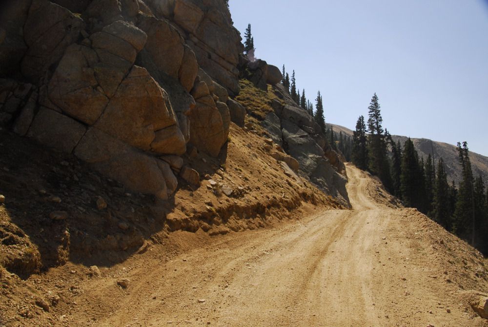
The photos don't show it, but the dirt and rock were glistening in the sunlight from tiny flecks of mica.
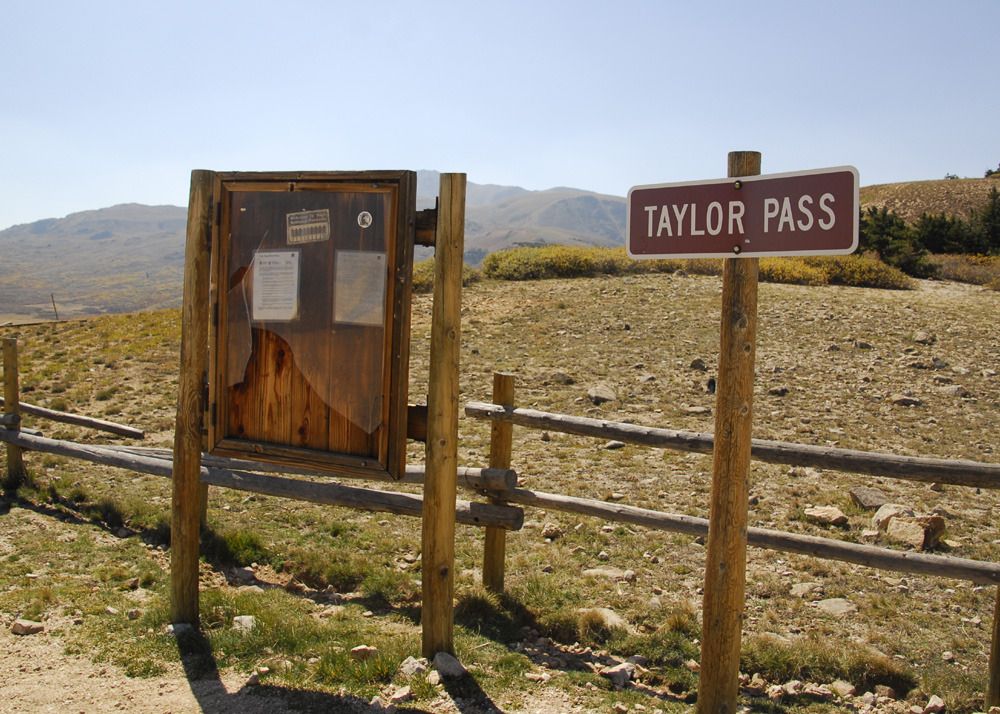
We made it up to Taylor Pass.
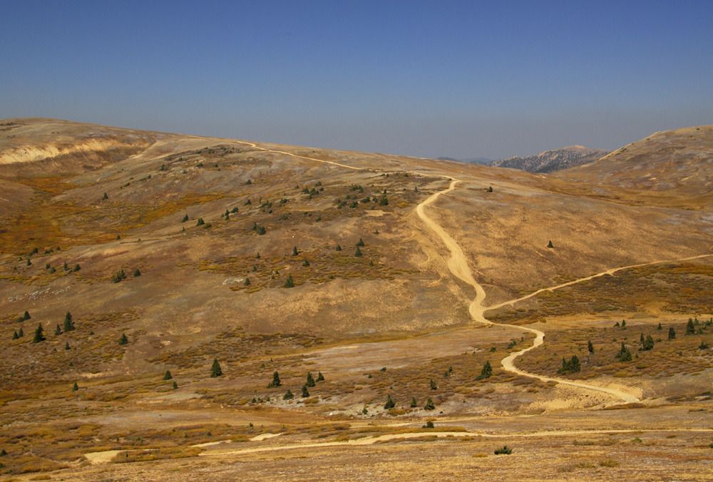
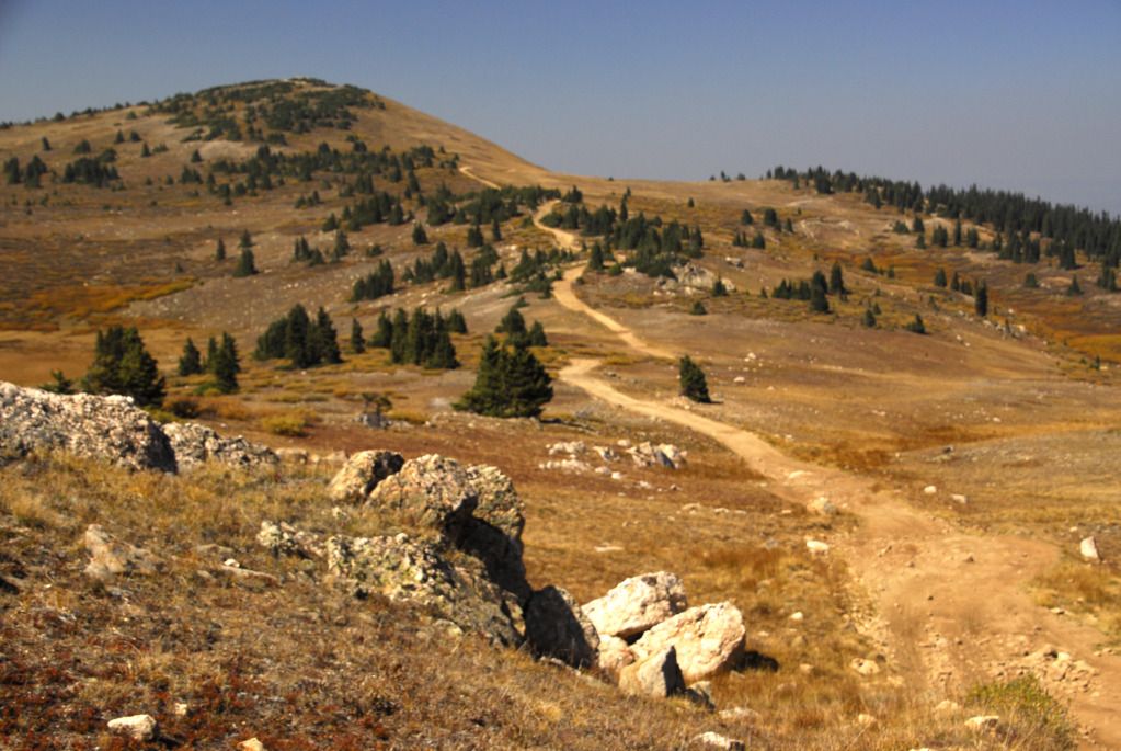
The Richmond Hill Road.
This was a really fun road to drive. Well above tree line, with no other traffic, and great views in all directions.
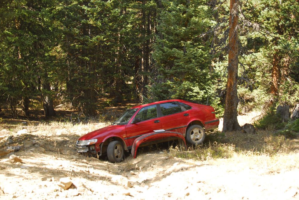
As we descended below the treeline in the White Mountain National Forest, we ran across this Saab, broken and abandoned along the trail. How they got it up here, we can only speculate...but it was gonna cost a fortune to get it back down again.
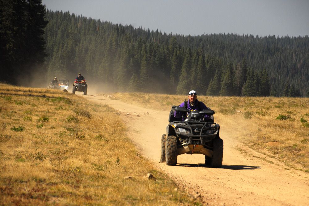
This is also a popular ATV route.
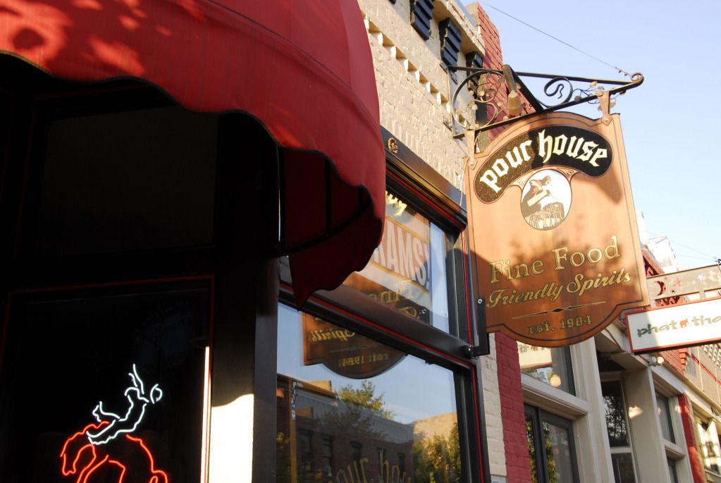
We made it down off Richmond Hill without incident and headed back to Carbondale. If you're ever in Carbondale, stop in at the Pour House and have a beer and a steak...good food and very friendly service. They also have Rocky Mountain Oysters, which we did not partake in.
Next up, the final adventure of the trip as we head for Mosquito Pass near Leadville and Webster Pass near Breckenridge.
Quick links to all trip reports in this series:
Part 1 | Part 2 | Part 3 | Part 4 | Part 5 | Part 6 | Part 7 | Part 8 | Part 9
Part 1 | Part 2 | Part 3 | Part 4 | Part 5 | Part 6 | Part 7 | Part 8 | Part 9
Yeah, it's me again. Sick of this stuff yet? I'm sure not, especially sitting here in cold, rainy Ohio. Today's adventure takes us to the Aspen area, as we visit the most photographed spot in the state, then hit the slopes.
These are the Maroon Bells. You've probably seen them in advertising or on a poster somewhere. There's a reason they're the most photographed mountains in the state...they're absolutely beautiful, even more so with yellow aspen trees and a mirror-like reflection in Maroon Lake.
It was fun watching this group of photographers along the edge of Maroon Lake. The one on the far left would pack up and move over to the far right...then, a few minutes later, whoever was on the then on the far left would likewise peel off and move over to the far right...and so on and so on. If given enough time I imagine the group would move all the way around the lake and end up where they started from in the first place.
Yet more mountains near Maroon Lake.
After shooting about 20 gigabytes worth of digital at the Bells, we moved on to the town of Aspen. We had no plans to shop, dine or otherwise spend any time in the town itself...our goal was to find the start of the Aspen Summer Road, tucked in between two condo buildings at the base of the ski slope. Once located, we made our way up this dirt road, which provides access to the ski lift towers and other facilities on the ski slope.
On the way up.
It was an easy drive, and provided great views back into town.
Once we made it to the top, we got a bit turned around and came back down off the mountain on the Little Annie Road.
Little Annie Road took us to a paved road, which lead us to the ghost town of Ashcroft.
From Ashcroft, we found the Express Creek Road, which would lead us up to Taylor Pass and the Richmond Hill Road.
The photos don't show it, but the dirt and rock were glistening in the sunlight from tiny flecks of mica.
We made it up to Taylor Pass.
The Richmond Hill Road.
This was a really fun road to drive. Well above tree line, with no other traffic, and great views in all directions.
As we descended below the treeline in the White Mountain National Forest, we ran across this Saab, broken and abandoned along the trail. How they got it up here, we can only speculate...but it was gonna cost a fortune to get it back down again.
This is also a popular ATV route.
We made it down off Richmond Hill without incident and headed back to Carbondale. If you're ever in Carbondale, stop in at the Pour House and have a beer and a steak...good food and very friendly service. They also have Rocky Mountain Oysters, which we did not partake in.
Next up, the final adventure of the trip as we head for Mosquito Pass near Leadville and Webster Pass near Breckenridge.
Quick links to all trip reports in this series:
Part 1 | Part 2 | Part 3 | Part 4 | Part 5 | Part 6 | Part 7 | Part 8 | Part 9