- Joined
- Dec 23, 2013
- Messages
- 3,667
It was time for my annual September trip into Yellowstone. This years destination was campsite WB1, located on the Gallatin River in the northwest quadrant of the Park. As in the past, on this trip we would set up a base camp at WB1, with one day hike to Big Horn Pass, and a second day hike to Fawn Pass.
Day 1
Seven of us gathered in West Yellowstone in the early afternoon at the Visitors' Center Backcountry Office to pick up our official permit. The gentleman staffing the office and getting us our permit remembered us from last year's off-trail route to Joseph's Coat Springs.
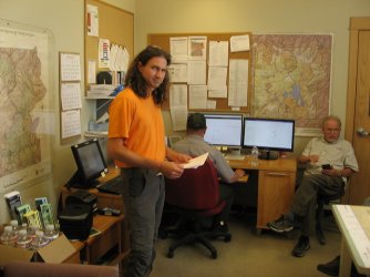
@TractorDoc up to his usual trip planning changes no doubt.
After getting the permit (we didn't have to watch the safety film), we headed over to Ernie's for some lunch. After eating we headed out for the Bighorn Pass Trailhead. Two of our group decided that they needed to run to a nearby grocery store to get some tea for the backcountry. I asked if they wanted me to wait for them, or did they just want to meet us at the trailhead. They agreed to meet us at the trailhead. This is when I told them that the trailhead was located 20 miles north of West Yellowstone on the right hand side of Highway 191. They said, "OK" and left for the grocery store while the rest of us headed north to the trailhead.
Everyone was able to find the trailhead, located right after the 20 mile marker on 191, except the two jokers that had to go get tea.
We waited for about thirty minutes and decided that they must be lost. @TractorDoc, Brent and myself hoped in the Subaru and headed back towards West Yellowstone to see if we could get some cell reception and contact them, if they were still in town. We'll we couldn't contact them, and after driving most of the way back to West Yellowstone, we turned around and headed back to the trailhead. When we arrived, Cody told us the others had showed up about five minutes after we left to search for them. Turns out they had driven further north towards Black Butte Ranch before realizing that they must have missed the trailhead. 20 miles north of West Yellowstone! They wouldn't live this down for the rest of the trip.
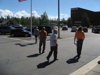
Heading to Ernie's. The two in the middle were the ones who got lost.
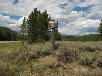
The sign for the Bighorn Pass Trailhead with Highway 191 off to the left
It was about 4.4 miles into campsite WB1 from the trailhead, and Danny and Mark (The Lost Ones) took off for camp before we returned from looking for them. So the rest of us got our gear ready and started off on our way.
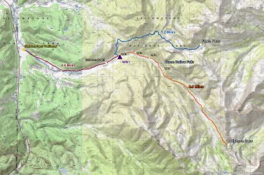
Overview map of entire trip
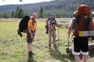
Ready to head to WB1
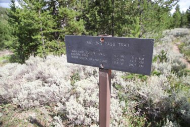
Mileage sign near trailhead
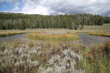
Horseshoe bend in the Gallatin River
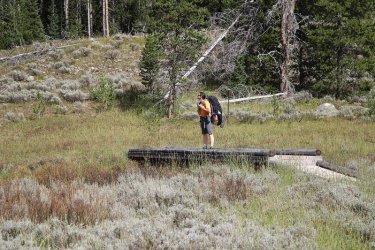
@TractorDoc happy to have a footbridge across the Gallatin
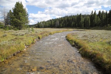
The Gallatin River
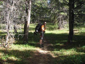
Waiting for the Scatman
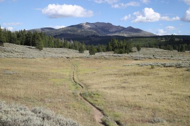
The Bighorn Pass Trail
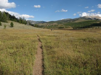
Entering the Gallatin River Meadows. I thought the meadows were beautiful.
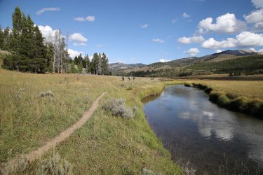
Back on the Gallatin
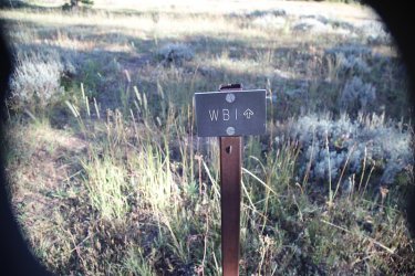
Arriving at our campsite. It looks like I need to rotate my lens hood.
We arrived at camp around six in the evening, a little later than I would have liked, and we set up our tents and got ready for dinner. I thought WB1 was and excellent campsite with nice views up and down the river, and a nice water source (the river).
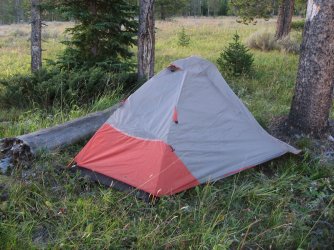
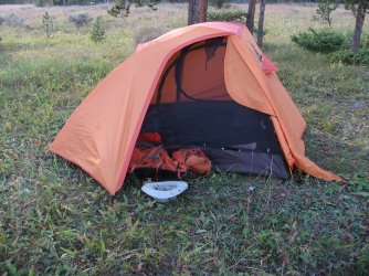
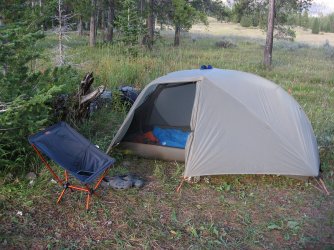
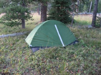
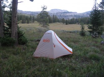
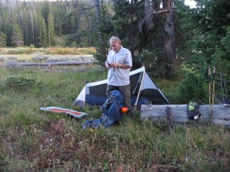
Our tents
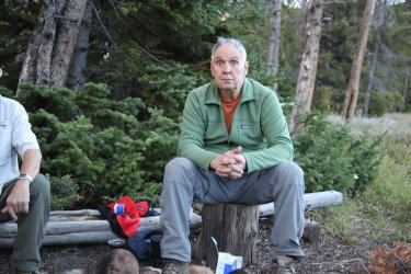
20 miles! looks like this guy could use a Cold Smoke, or maybe some toilet paper.
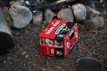
Must have been a Cold Smoke.
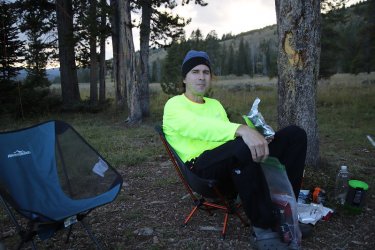
@TractorDoc enjoying some ice cream
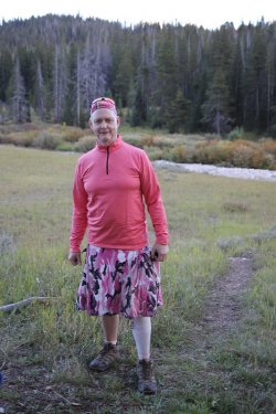
Don't look for too long for it will burn your retinas.
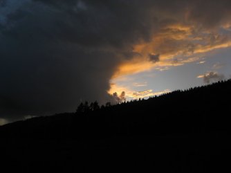
Each evening, clouds would buildup and we would get some rain.
Day 2
Today's day hike would be to Bighorn Pass which was about 14 miles away from WB1. I felt a bit sluggish on day two and quickly fell behind the rest of the group on the way to the pass. Dave and Cody broke off and went to check out a waterfall to the north of the trail. The rest of us would get a peek at it on our way back down. We soon crossed the Gallatin Bear Management Boundary, which meant no off-trail travel while in the BMA. After taking a break, the real climbing to the pass began. I fell behind rather quickly again, but the views were wonderful. At the pass, we took a break and had some lunch and enjoyed the views.
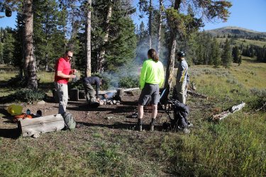
Time for breakfast on day two
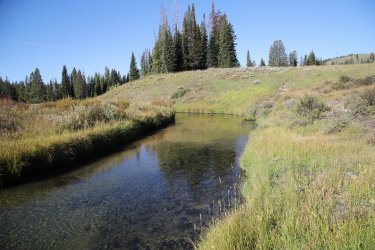
Gallatin River east of WB1
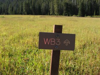
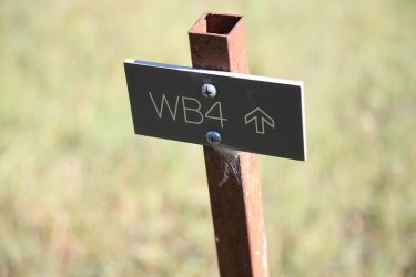
We passed other campsites along the way
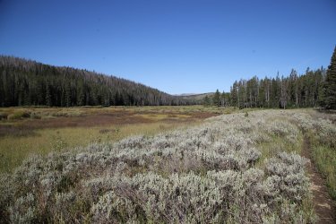
Looking back the way we had come
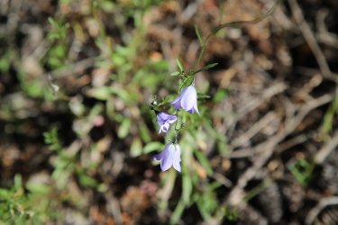
Some Harebells still in bloom
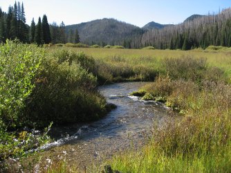
Tributary of the Gallatin
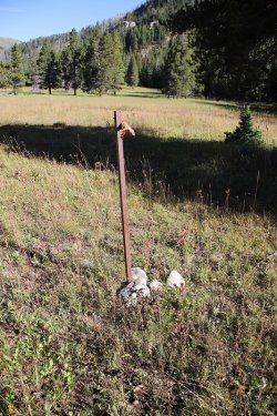
Another campsite post, this one for WB6
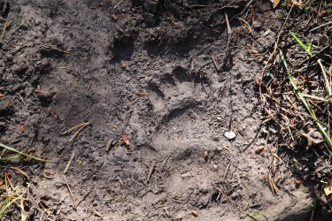
First sign of bear
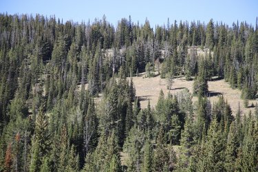
Bull elk up on the hill at the top of the center clearing
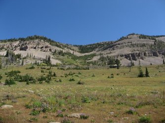
View to the north of the trail
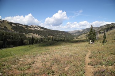
View back down the Gallatin River drainage
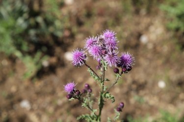
Thistle was plentiful in this area
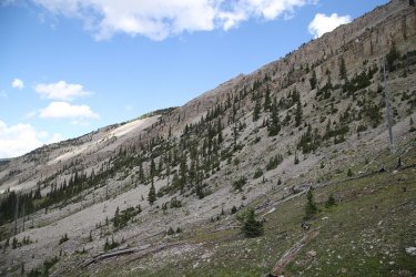
View to the east, climbing to the pass. Looking at the west side of unnamed peak 10,163.
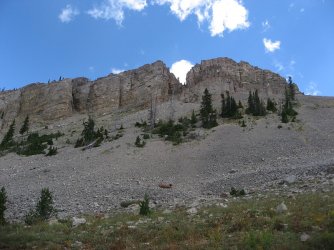
Nearing the pass
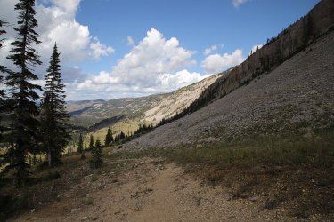
Another look back down the Gallatin River drainage
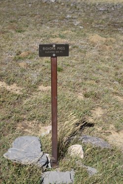
At the pass.
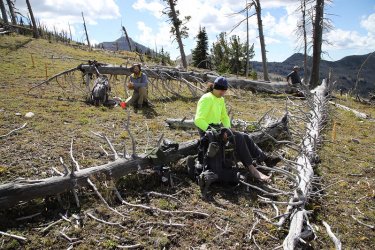
Time for lunch
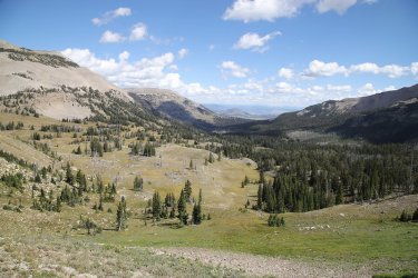
Great view off the east side of the pass. Way in the distance is Bunsen Peak
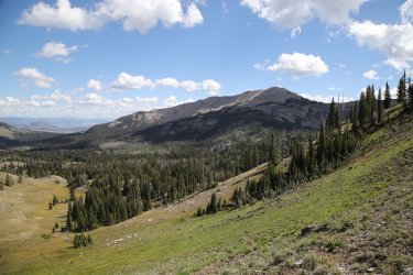
Quadrant Mountain
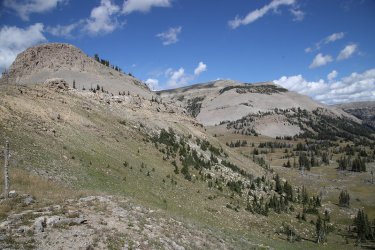
Bannock Peak
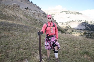
Pink at the Pass!
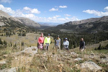
Group shot
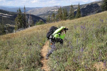
Getting the perfect angle, on our way back to camp
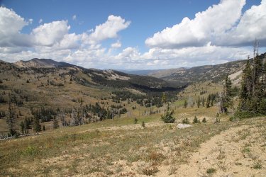
Camp is around the bend
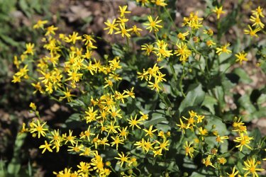
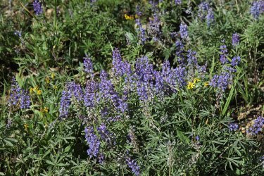
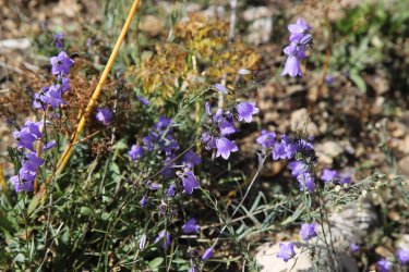
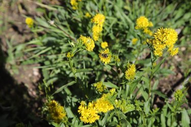
Wildflowers
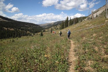
Bringing up the rear once again. Heading down to see some falls.
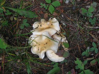
Mushrooms
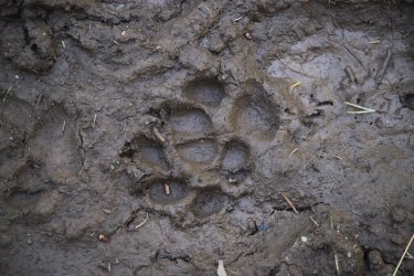
Coyote track
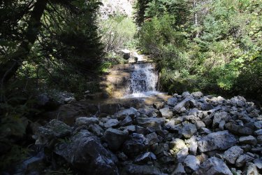
Heading towards Stone Hollow Falls
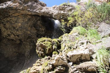
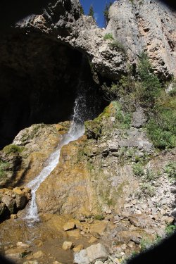
Stone Hollow Falls - an extremely slippery approach to these falls, so watch your step.
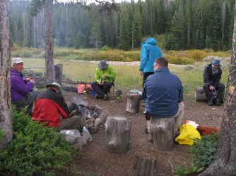
Back at camp and dinner time before it rains
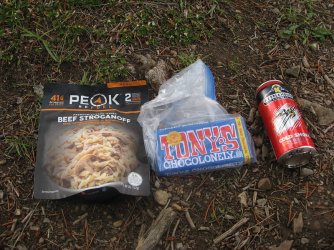
My dinner.
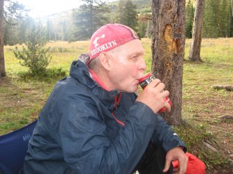
Well deserved today.
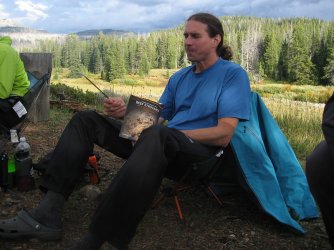
Dave had the same idea for dinner
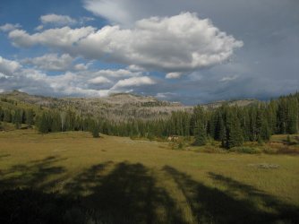
View to the east from my tent on the evening of day 2
Day 3
After day two, I thought day three would be a slog for me, but I woke up feeling good and ready for the hike up to Fawn Pass. While a shorter hike than the previous day's, the climbing on this one would begin right off the bat as opposed to at the end on Big Horn.
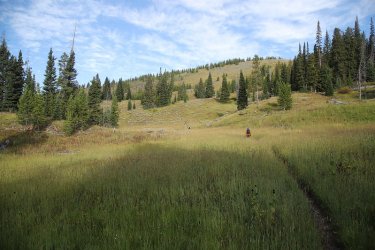
First hill ahead
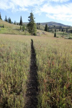
The Fawn Pass Cutoff Trail
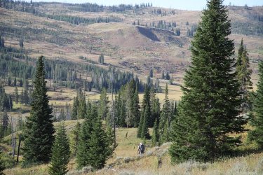
Heading up the hill on the Fawn Pass Cutoff Trail
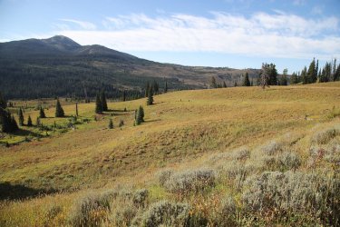
Gaining some elevation
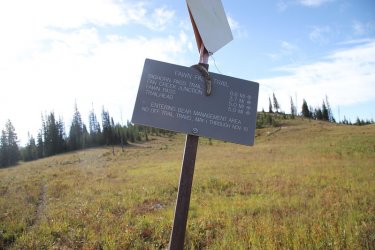
At the junction with the Fawn Pass Trail
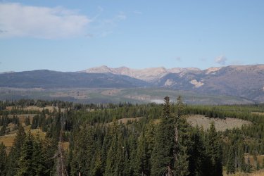
View towards the Lee Metcalf Wilderness
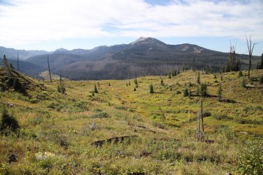
View to the south
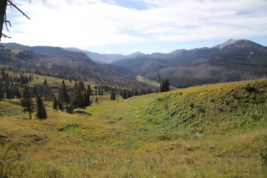
Looking up the Gallatin River below. Where we had hiked the previous day.
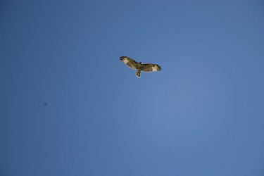
A hawk above us
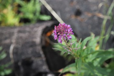
Fireweed
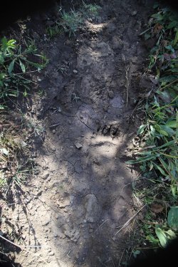
Bear track. There were not as many on the Fawn Pass Trail as there had been on the
Bighorn Pass Trail the day before.
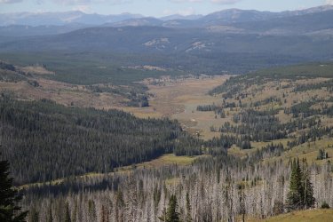
Looking back down towards camp
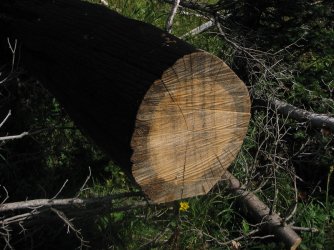
Blue stain fungi caused the ring you see on the sewn log
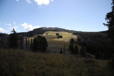
Unnamed Peak 9676
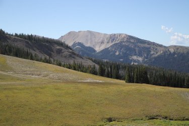
Looking over at Crowfoot Ridge
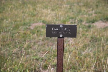
Made it to Fawn Pass which is lower than Bighorn Pass
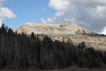
Grey Peak
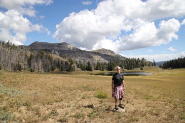
Not as harsh on the eyes on this pass.
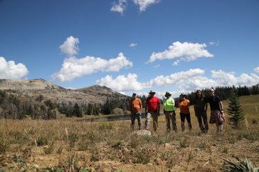
Group shot at the pass
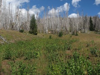
Ghost forest and cone flowers on our way back down
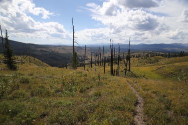
WB1 is down there somewhere
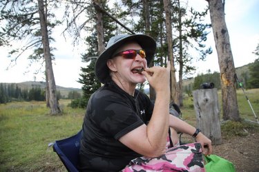
Back at camp and enjoying a piece of the Tony Chocolonely bar after completing Fawn Pass. Everyone had a piece to celebrate two
successful day hikes
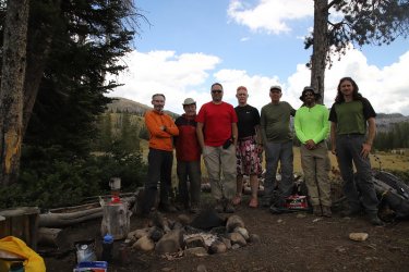
Now Dave and Cody had to leave one day early because they had reservations at Old Faithful, and had some hiking planned for the
Tetons, so we took a group shot of all seven of us before they hiked back out to the trailhead.
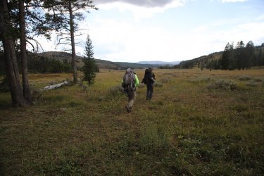
And off they went.
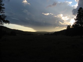
More clouds moved in which meant more rain that evening
Day 4
Day four was nothing more than eating breakfast, pack up, heading back to the trailhead, and getting lunch in West Yellowstone to celebrate our trip.
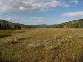
Hiking out through the Gallatin River Meadows
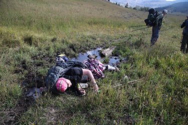
You've seen this one before, but it is worth seeing again. Scatman down!
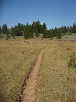
Big Horn Pass Trail
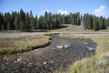
Back on the Gallatin
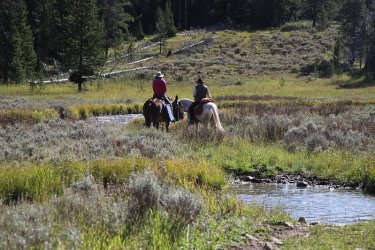
Horse and a mule + cowboy and cowgirl. Ah .... it's so romantic!
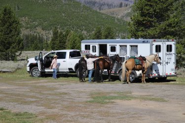
Unloading some horses at the trailhead upon our return
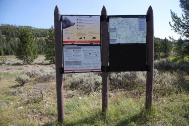
Trailhead info sign
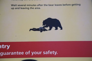
Best part of the sign.
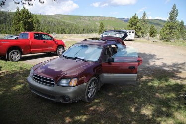
The Sube survived!
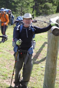
Danny arrives back at the trailhead. 20 miles mister!

Drove back down to West Yellowstone for some food and a beer, and the Slippery Otter Pub was not open.

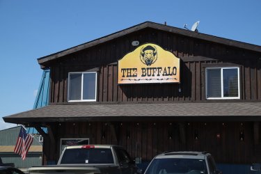
So it was off to The Buffalo Bar instead
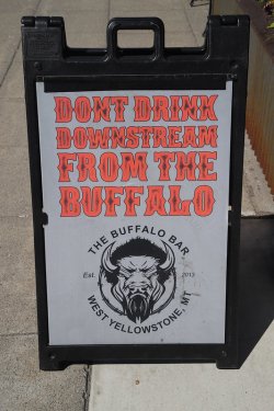
And remember not to do this.
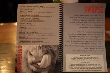
I liked the picture on the menu
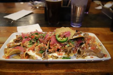
Hog trough Nachos as usual. Could use some Carolina Reapers don't you think?
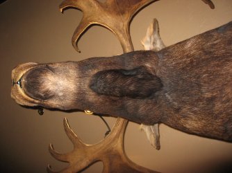
The only moose we saw on our trip was right above me.
This trip was a lot of fun, with a great campsite and two highly recommended day hikes, along with some excellent company to pass the time with. Already looking forward to next September's trip.
The End.
Day 1
Seven of us gathered in West Yellowstone in the early afternoon at the Visitors' Center Backcountry Office to pick up our official permit. The gentleman staffing the office and getting us our permit remembered us from last year's off-trail route to Joseph's Coat Springs.

@TractorDoc up to his usual trip planning changes no doubt.
After getting the permit (we didn't have to watch the safety film), we headed over to Ernie's for some lunch. After eating we headed out for the Bighorn Pass Trailhead. Two of our group decided that they needed to run to a nearby grocery store to get some tea for the backcountry. I asked if they wanted me to wait for them, or did they just want to meet us at the trailhead. They agreed to meet us at the trailhead. This is when I told them that the trailhead was located 20 miles north of West Yellowstone on the right hand side of Highway 191. They said, "OK" and left for the grocery store while the rest of us headed north to the trailhead.
Everyone was able to find the trailhead, located right after the 20 mile marker on 191, except the two jokers that had to go get tea.
We waited for about thirty minutes and decided that they must be lost. @TractorDoc, Brent and myself hoped in the Subaru and headed back towards West Yellowstone to see if we could get some cell reception and contact them, if they were still in town. We'll we couldn't contact them, and after driving most of the way back to West Yellowstone, we turned around and headed back to the trailhead. When we arrived, Cody told us the others had showed up about five minutes after we left to search for them. Turns out they had driven further north towards Black Butte Ranch before realizing that they must have missed the trailhead. 20 miles north of West Yellowstone! They wouldn't live this down for the rest of the trip.

Heading to Ernie's. The two in the middle were the ones who got lost.

The sign for the Bighorn Pass Trailhead with Highway 191 off to the left
It was about 4.4 miles into campsite WB1 from the trailhead, and Danny and Mark (The Lost Ones) took off for camp before we returned from looking for them. So the rest of us got our gear ready and started off on our way.

Overview map of entire trip

Ready to head to WB1

Mileage sign near trailhead

Horseshoe bend in the Gallatin River

@TractorDoc happy to have a footbridge across the Gallatin

The Gallatin River

Waiting for the Scatman

The Bighorn Pass Trail

Entering the Gallatin River Meadows. I thought the meadows were beautiful.

Back on the Gallatin

Arriving at our campsite. It looks like I need to rotate my lens hood.
We arrived at camp around six in the evening, a little later than I would have liked, and we set up our tents and got ready for dinner. I thought WB1 was and excellent campsite with nice views up and down the river, and a nice water source (the river).


Our tents

20 miles!

Must have been a Cold Smoke.

@TractorDoc enjoying some ice cream

Don't look for too long for it will burn your retinas.

Each evening, clouds would buildup and we would get some rain.
Day 2
Today's day hike would be to Bighorn Pass which was about 14 miles away from WB1. I felt a bit sluggish on day two and quickly fell behind the rest of the group on the way to the pass. Dave and Cody broke off and went to check out a waterfall to the north of the trail. The rest of us would get a peek at it on our way back down. We soon crossed the Gallatin Bear Management Boundary, which meant no off-trail travel while in the BMA. After taking a break, the real climbing to the pass began. I fell behind rather quickly again, but the views were wonderful. At the pass, we took a break and had some lunch and enjoyed the views.

Time for breakfast on day two

Gallatin River east of WB1


We passed other campsites along the way

Looking back the way we had come

Some Harebells still in bloom

Tributary of the Gallatin

Another campsite post, this one for WB6

First sign of bear

Bull elk up on the hill at the top of the center clearing

View to the north of the trail

View back down the Gallatin River drainage

Thistle was plentiful in this area

View to the east, climbing to the pass. Looking at the west side of unnamed peak 10,163.

Nearing the pass

Another look back down the Gallatin River drainage

At the pass.

Time for lunch

Great view off the east side of the pass. Way in the distance is Bunsen Peak

Quadrant Mountain

Bannock Peak

Pink at the Pass!

Group shot

Getting the perfect angle, on our way back to camp

Camp is around the bend


Wildflowers

Bringing up the rear once again.

Mushrooms

Coyote track

Heading towards Stone Hollow Falls


Stone Hollow Falls - an extremely slippery approach to these falls, so watch your step.

Back at camp and dinner time before it rains

My dinner.

Well deserved today.

Dave had the same idea for dinner

View to the east from my tent on the evening of day 2
Day 3
After day two, I thought day three would be a slog for me, but I woke up feeling good and ready for the hike up to Fawn Pass. While a shorter hike than the previous day's, the climbing on this one would begin right off the bat as opposed to at the end on Big Horn.

First hill ahead

The Fawn Pass Cutoff Trail

Heading up the hill on the Fawn Pass Cutoff Trail

Gaining some elevation

At the junction with the Fawn Pass Trail

View towards the Lee Metcalf Wilderness

View to the south

Looking up the Gallatin River below. Where we had hiked the previous day.

A hawk above us

Fireweed

Bear track. There were not as many on the Fawn Pass Trail as there had been on the
Bighorn Pass Trail the day before.

Looking back down towards camp

Blue stain fungi caused the ring you see on the sewn log

Unnamed Peak 9676

Looking over at Crowfoot Ridge

Made it to Fawn Pass which is lower than Bighorn Pass

Grey Peak

Not as harsh on the eyes on this pass.

Group shot at the pass

Ghost forest and cone flowers on our way back down

WB1 is down there somewhere

Back at camp and enjoying a piece of the Tony Chocolonely bar after completing Fawn Pass. Everyone had a piece to celebrate two
successful day hikes

Now Dave and Cody had to leave one day early because they had reservations at Old Faithful, and had some hiking planned for the
Tetons, so we took a group shot of all seven of us before they hiked back out to the trailhead.

And off they went.

More clouds moved in which meant more rain that evening
Day 4
Day four was nothing more than eating breakfast, pack up, heading back to the trailhead, and getting lunch in West Yellowstone to celebrate our trip.

Hiking out through the Gallatin River Meadows

You've seen this one before, but it is worth seeing again. Scatman down!

Big Horn Pass Trail

Back on the Gallatin

Horse and a mule + cowboy and cowgirl. Ah .... it's so romantic!

Unloading some horses at the trailhead upon our return

Trailhead info sign

Best part of the sign.

The Sube survived!

Danny arrives back at the trailhead. 20 miles mister!

Drove back down to West Yellowstone for some food and a beer, and the Slippery Otter Pub was not open.


So it was off to The Buffalo Bar instead

And remember not to do this.

I liked the picture on the menu

Hog trough Nachos as usual. Could use some Carolina Reapers don't you think?


The only moose we saw on our trip was right above me.
This trip was a lot of fun, with a great campsite and two highly recommended day hikes, along with some excellent company to pass the time with. Already looking forward to next September's trip.
The End.
