Thanks for the document. I've had trouble finding it. From where is it linked if you don't mind?They keep it updated here:
https://www.wcc.nrcs.usda.gov/ftpref/data/water/wcs/gis/maps/west_swepctnormal_update.pdf
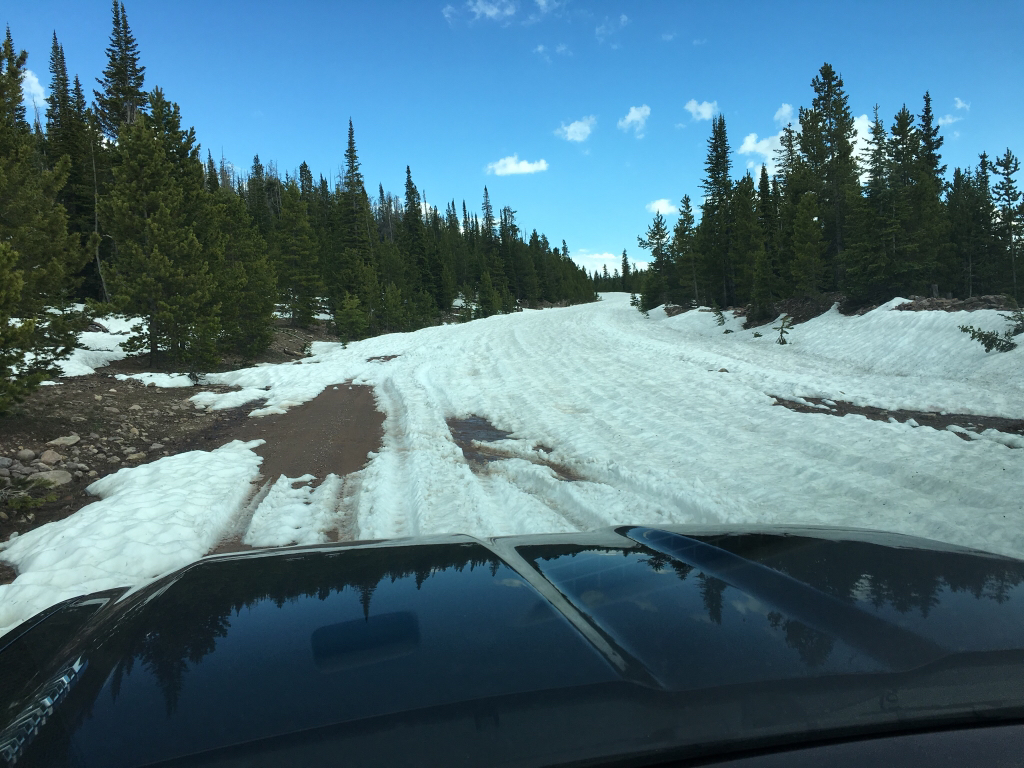
2016-2017 Snowpack
- Thread starter Nick
- Start date


Similar threads
Similar threads
-

-

-

-

-

-

-
 Wind River Range: Chasing Dreams - 15-19 August 2016
- Started by AbinadiWitness
- Replies: 4
-
-
 Introducing the Wind Rivers to the next generation, Sept 2016
- Started by OldBill
- Replies: 3
-
Sloan Canyon & Lake Mead summits and rock art Nov 26-28, 2016
- Started by John Morrow
- Replies: 0
-
Summits and Rock Art in Nevada's Mojave Nov 8-10, 2016
- Started by John Morrow
- Replies: 2
-

-
A New Classic Death Valley Natl Park Backpack Nov 16-19,2016
- Started by John Morrow
- Replies: 5
-
 Dirty Devil "Bikepackrafting" Loop - November 2016
- Started by George_Washington_Hayduke
- Replies: 2
-

-
-

-
-

-

-

-

-
-

-
-

-
 Teton Wilderness: Ariz. Creek to Brooks Lake, July 2016
- Started by Georgia Yankee
- Replies: 26
-

-
-

-

-

-
 Massive Flash Flood, Grand Staircase Utah August 4th 2016
- Started by Henk
- Replies: 3
-
Mirror Plateau and the Lamar River Loop - Yellowstone National Park - July 7, 2016
- Started by scatman
- Replies: 38
-

-
-
Trout Creek to Cygnet Lakes - Yellowstone National Park - July 6, 2016
- Started by scatman
- Replies: 10
-
Lower and Midway Geyser Basins plus Buffalo Meadows - Yellowstone National Park - June 26, 2016
- Started by scatman
- Replies: 5
-
-
The Anthony Creek, Russell Field Trails Loop - Great Smoky Mountain National Park, June 10, 2016
- Started by scatman
- Replies: 13
-
Gold Mine Loop Trail / Noland Trail - Great Smoky Mountain National Park, June 7, 2016
- Started by scatman
- Replies: 3
-
-
 (Updated Regularly) My Summer 2016 Backpacking Thread
- Started by muir_mountain
- Replies: 17
-

-
 2016 might be your best chance to do Wonderland (Rainier)
- Started by Langdon Greene
- Replies: 2
-
 House Rock Valley Rd and Vicinity 2016 (Full Report)
- Started by powderglut
- Replies: 12
-
Canyonlands Needles Dist.: Crosscanyon Backpack Traverse April 10-15, 2016
- Started by John Morrow
- Replies: 1
-
Glen Canyon NRA: Reflection, Cottonwood, Llewellyn Canyons Backpack April 25-28,2016
- Started by John Morrow
- Replies: 5
-
Zion Summits Backpack: Courting Angels Beyond the Gates May 1-5, 2016
- Started by John Morrow
- Replies: 8
-
