ramblinman
Member
- Joined
- Aug 26, 2014
- Messages
- 114
My good friend Tony and I wanted to get away to Wyoming this Summer, and we decided to go someplace in the Winds. Our schedules required a trip in mid-July, so we settled on the Gros Ventre Wilderness after reading about it on here and in Douglas Lorraine's book. The Gros Ventre is beyond words, full of alpine lakes, beautiful rock, and rolling meadows. It's also incredibly isolated. The weather was perfect, although constant dry heat and little moisture makes for prime fire conditions as we would soon discover.
Our plan was to do 6 nights starting from the Granite Creek trailhead, going counterclockwise on the loop from Shoal Creek to the Gros Ventre River, with a side trip into the 6 Lakes Basin (or at least the North side of Black peak). We spent the night at Granite Hot Springs Campground, where we met some nice Wyomingites who were happy to share their Elk tacos with us.
There was only one other car at the trailhead when we arrived, a sign of how seldom used this place is. Another car arrived as we were leaving; two day hikers with three dogs and one rather large gun, for bear I guess. The rest of the trip we would only see two other hikers, but more on that later.
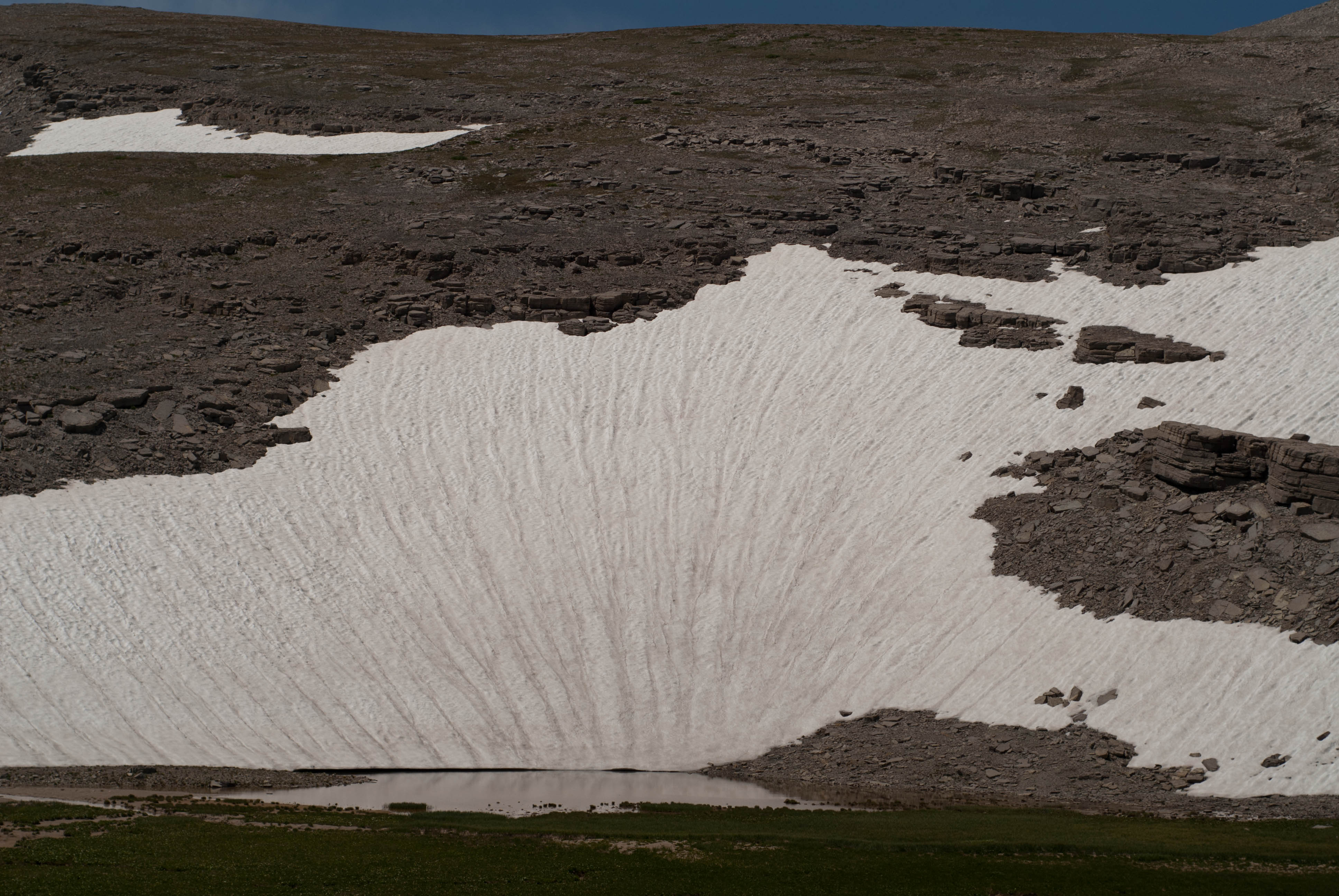
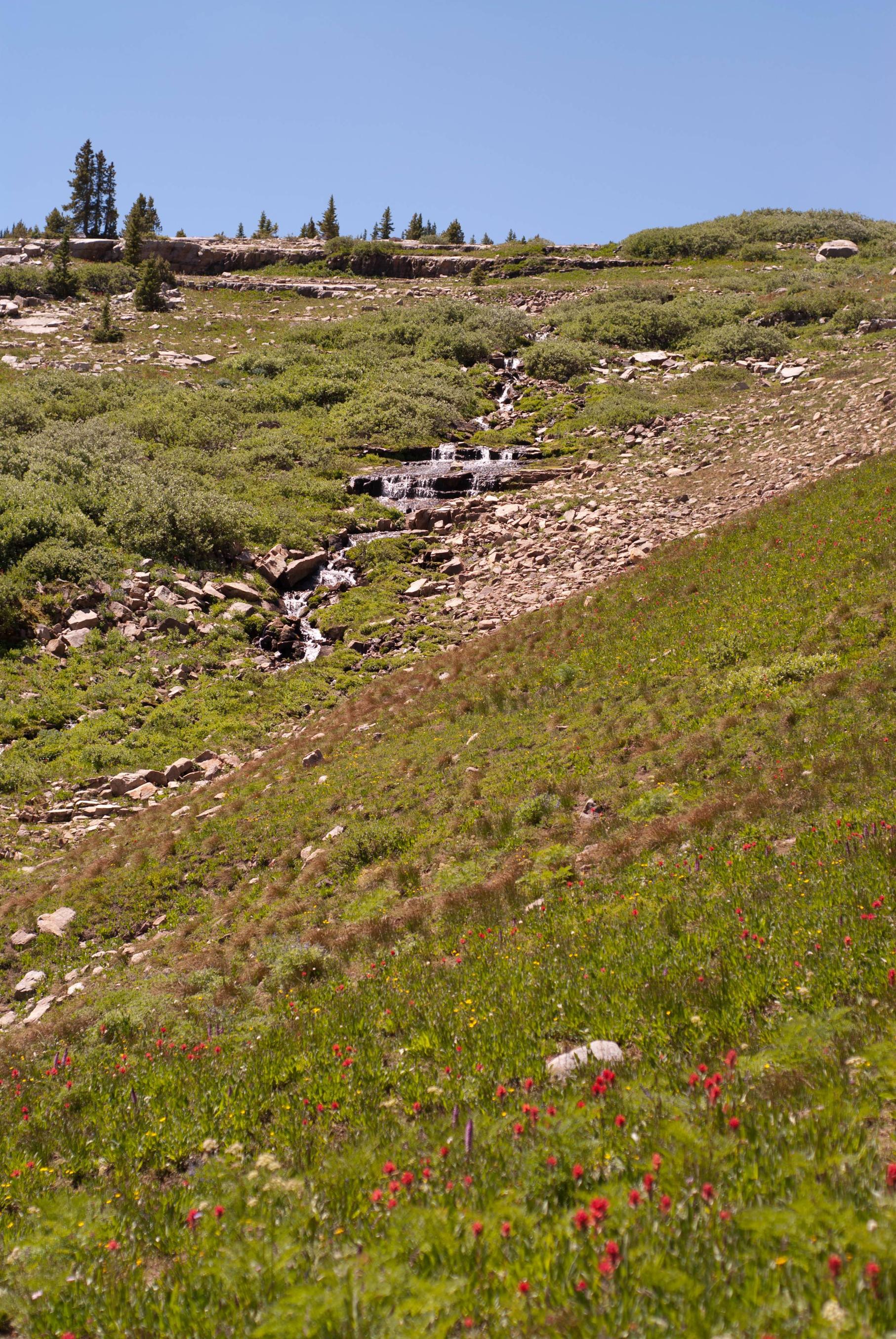
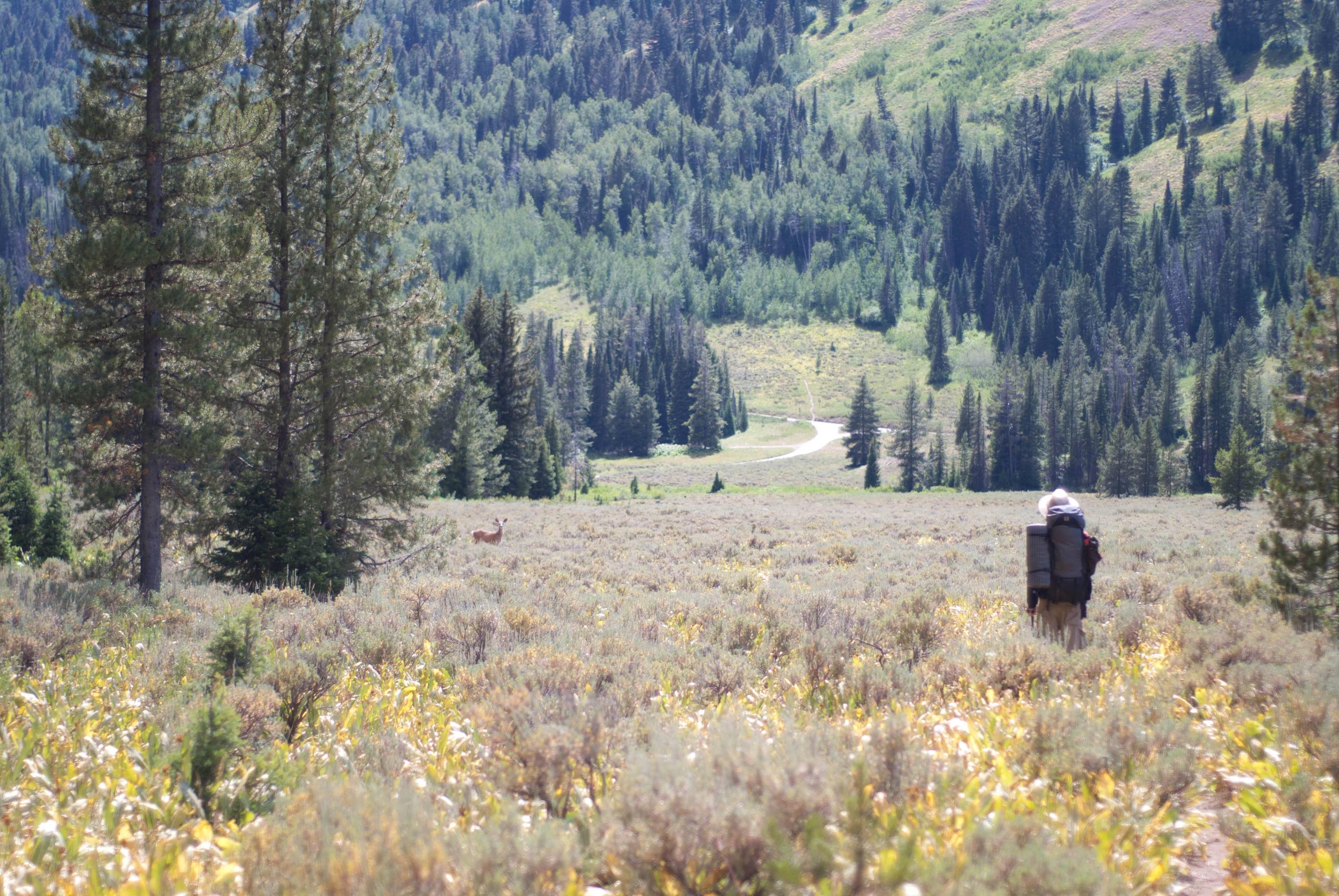
The destination for the first day was Shoal Lake. We would hike down into the Shoal Creek drainage from the trailhead before following the creek up to Shoal Lake. Nothing too difficult about this hike, just 3,000 feet of elevation gain spread out over 10 or 11 miles.
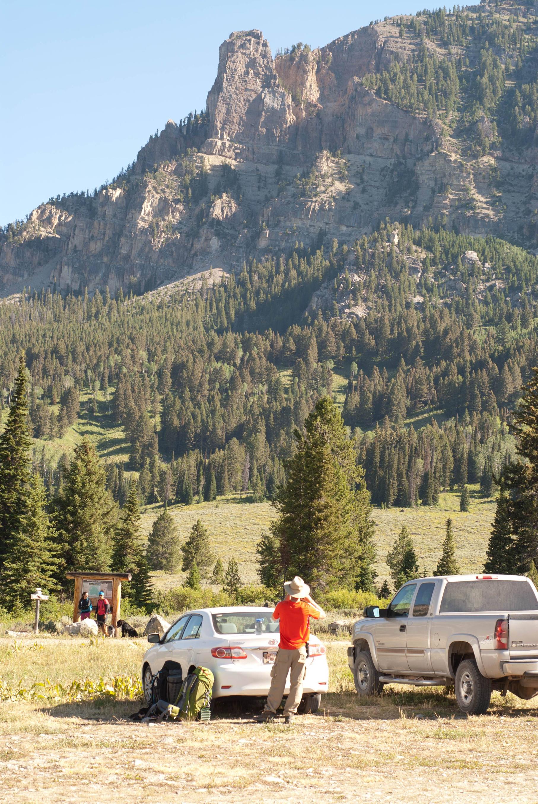
The trailhead
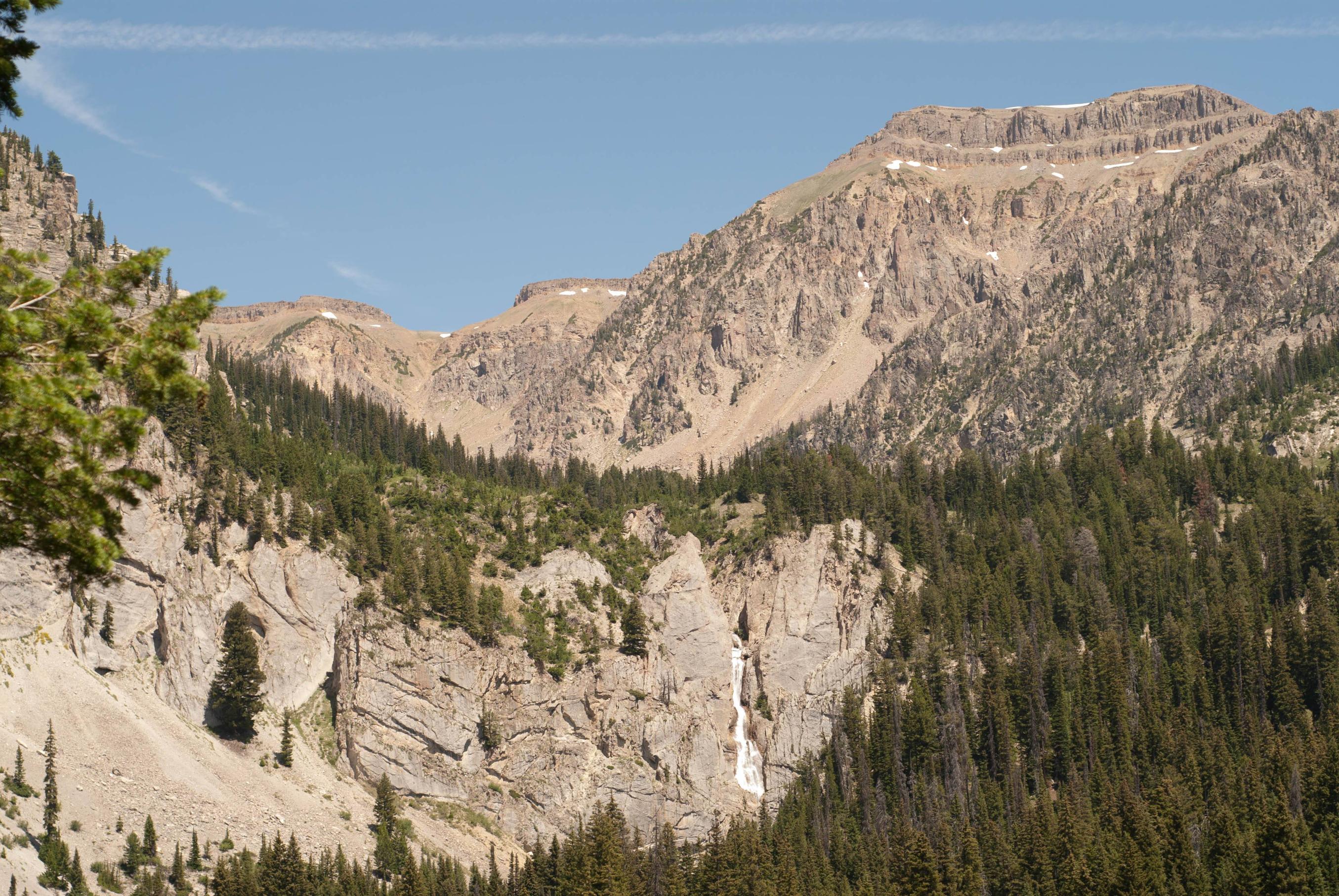
Shoal Falls

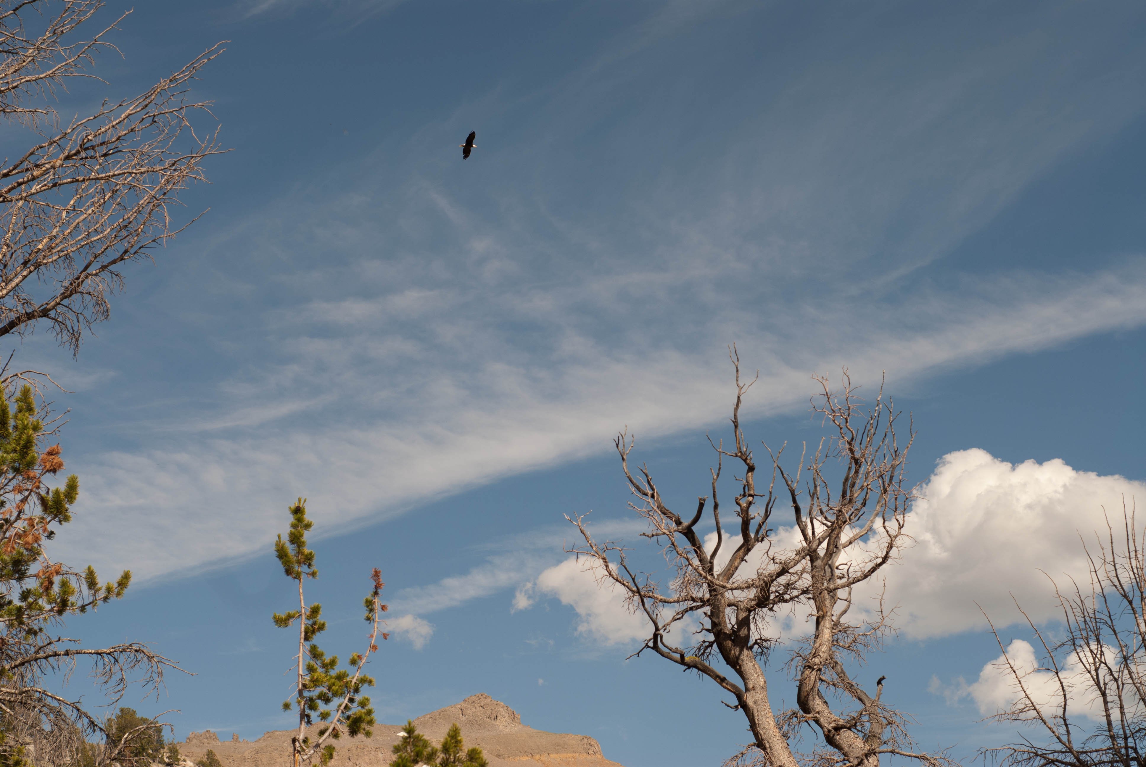
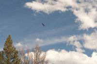
As we approached Shoal Lake we roused a bald eagle, who circled overhead for a few minutes trying to get a better look at us.
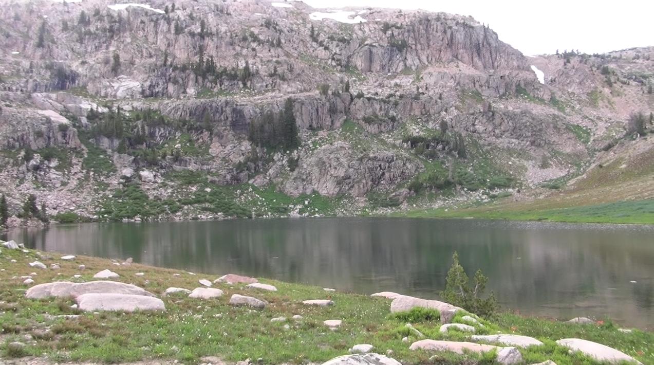
Shoal Lake. Note the ripples on the water from the many trout.
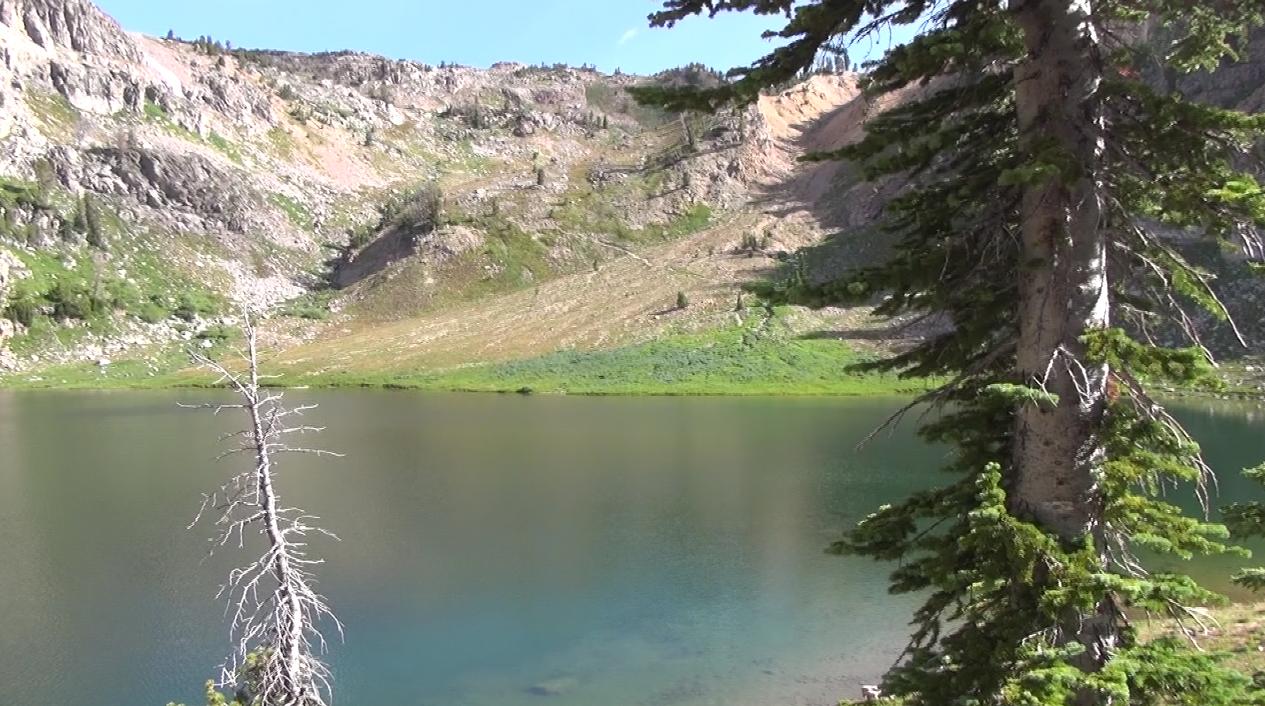
Shoal Lake the next morning. You can see the trail in the middle of the image.
The next morning we got up early to hike to Brewster Lake. We would follow the trail up to the pass, and then depart from the trail to contour around Steamboat peak and up to the pass between Palmer and Darwin peaks. This section was straightforward, and we were treated to views of a large meadow where we noticed an enourmous herd of Elk (or mule deer?). There were probably 70 total, and we sat and watched them move across the valley for a bit.
Note the Elk at the left 1/4, on the ridge above the stream in the valley. Many more were below the ridge
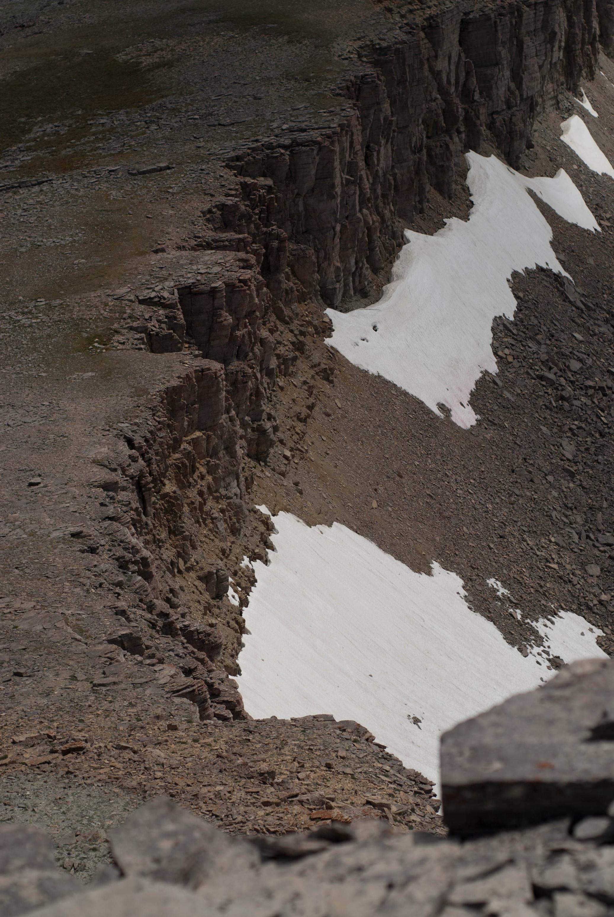
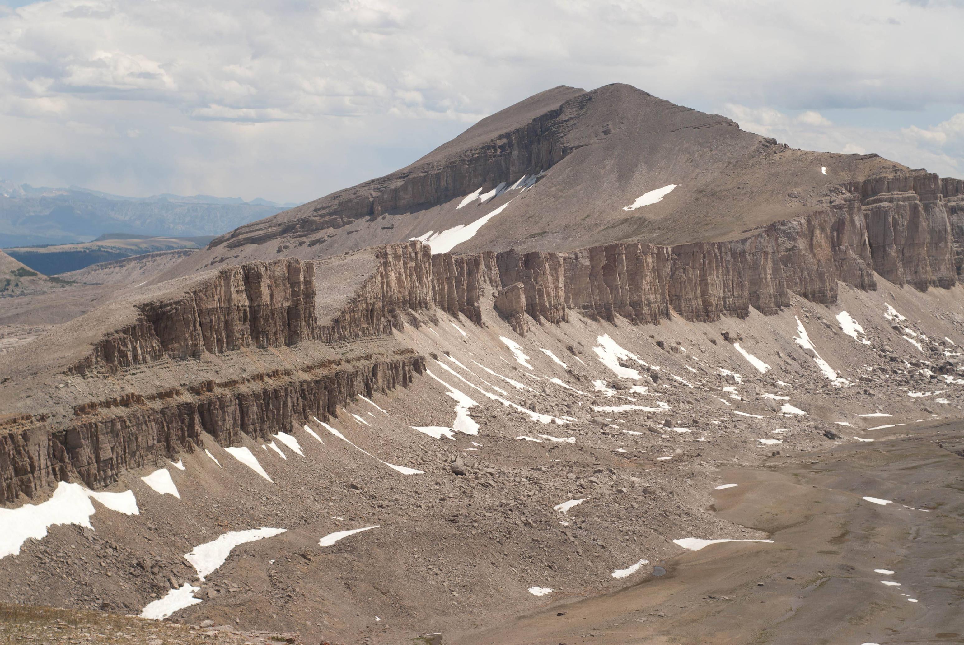
The final section of the hike required a short but tricky scramble up a break in the cliffs between Darwin and Doubletop peaks. This section was quite exposed and I was slightly hesitant before going up, but the climb itself wasn't too bad. In fact, it was easier going than the very loose talus we negotiated en route to the break in the cliffs.
Shot of the break in the cliffs from above. We went up the snow free area below, and climbed up the middle of the three openings.
Happy to be on top, we relaxed and enjoyed our view of Brewster Lake
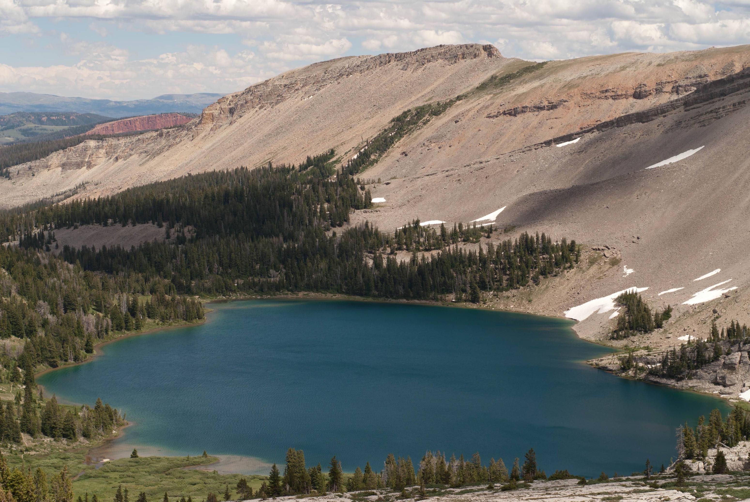
Brewster Lake
Morning at Brewster Lake
Clear water never ceases to amaze me
Triangle Peak juts out of the water
We planned to spend our third day hiking back up to the pass between Darwin and Doubletop and enjoy a restful day. We hiked up following the main stream that feeds the lake and a series of two other lakes. Eventually we were forced to retreat to the lake by an incoming thunderstorm, a brief inconvenience, or so we thought at the time.
Wildflowers above the lake
The large glacier which feeds the 3rd and smallest lake.
Cliffs in front of Doubletop
Overlooking the West Dell Creek area. This is likely the storm the started a large wildfire.
Looking Southwest between Triangle and Doubletop. The Winds are on the horizon
Upon returning to camp, we smelled smoke. I looked around and didn't see another campsite, but I assumed that someone was nearby and didn't think much else of it. All the while the weather returned to normal, except for a large but non-threatening gray cloud. Well we eventually realized that we were not looking at a cloud, but a large plume of smoke coming over the ridge Southwest of the lake. We eventually decided to pack our things up and retreat to an area farther away, as the smoke was getting very thick.
Triangle peak smoked out
We figured that we weren't in immediate danger, but the growing smoke with flashes of orange and pink had filled the sky and was rather ominous. We packed out at about 6pm, and hiked down Grizzly basin where we met the only two other people we'd see in the backcountry. After a quick chat about the fire, their plans, and location of the trail through the marsh, we left and crossed the Gros Ventre River. Over the next hour we continued until darkness set and we stopped to set up camp at 10pm.
The next morning we awoke to the sound of Elk (or Mule Deer?) and no smoke in the sky. We weren't sure at that point if we were going to hike all the way out or not, but either way we had to go up the Gros Ventre and begin making our way down Swift Creek.
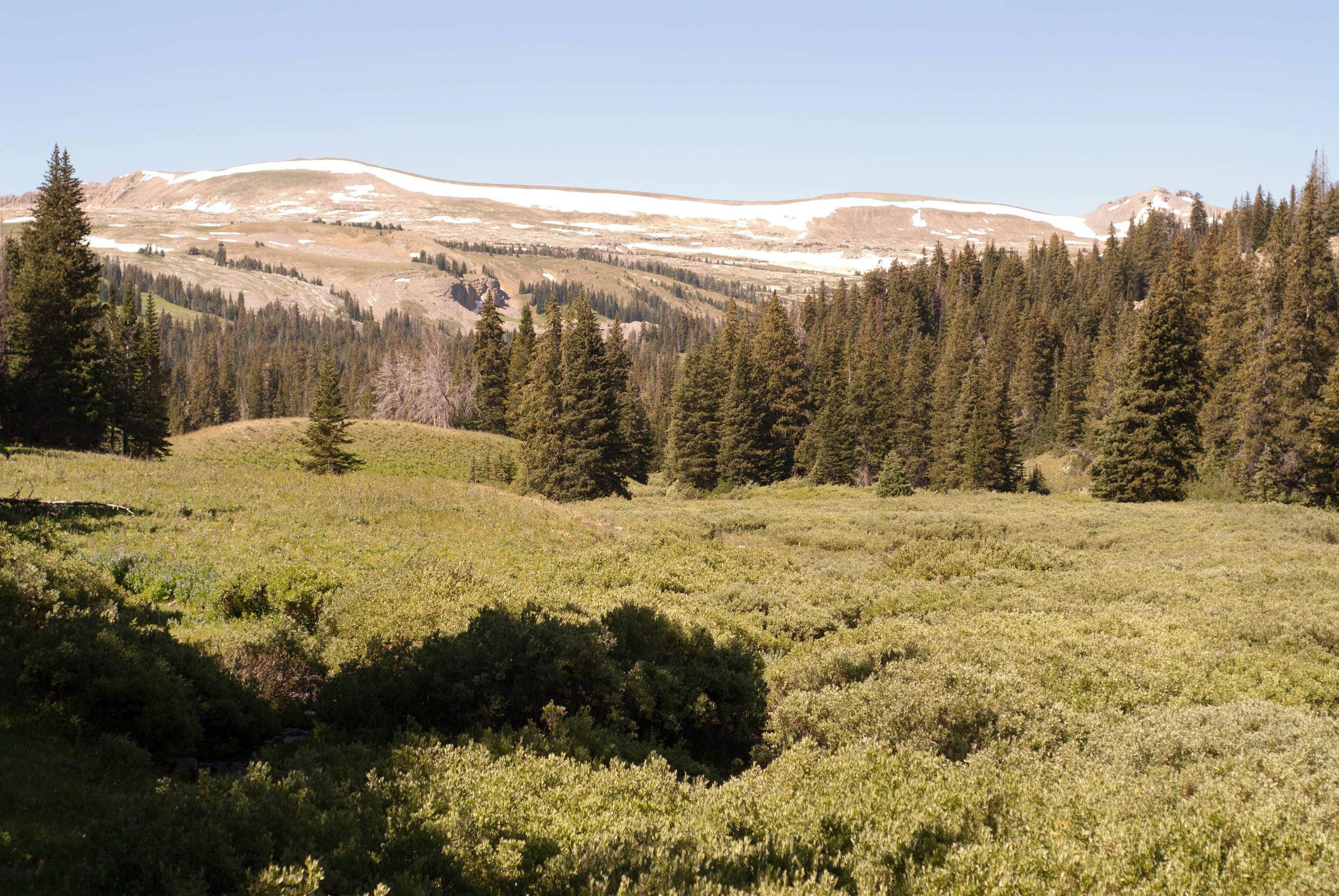
Meadows along the Gros Ventre
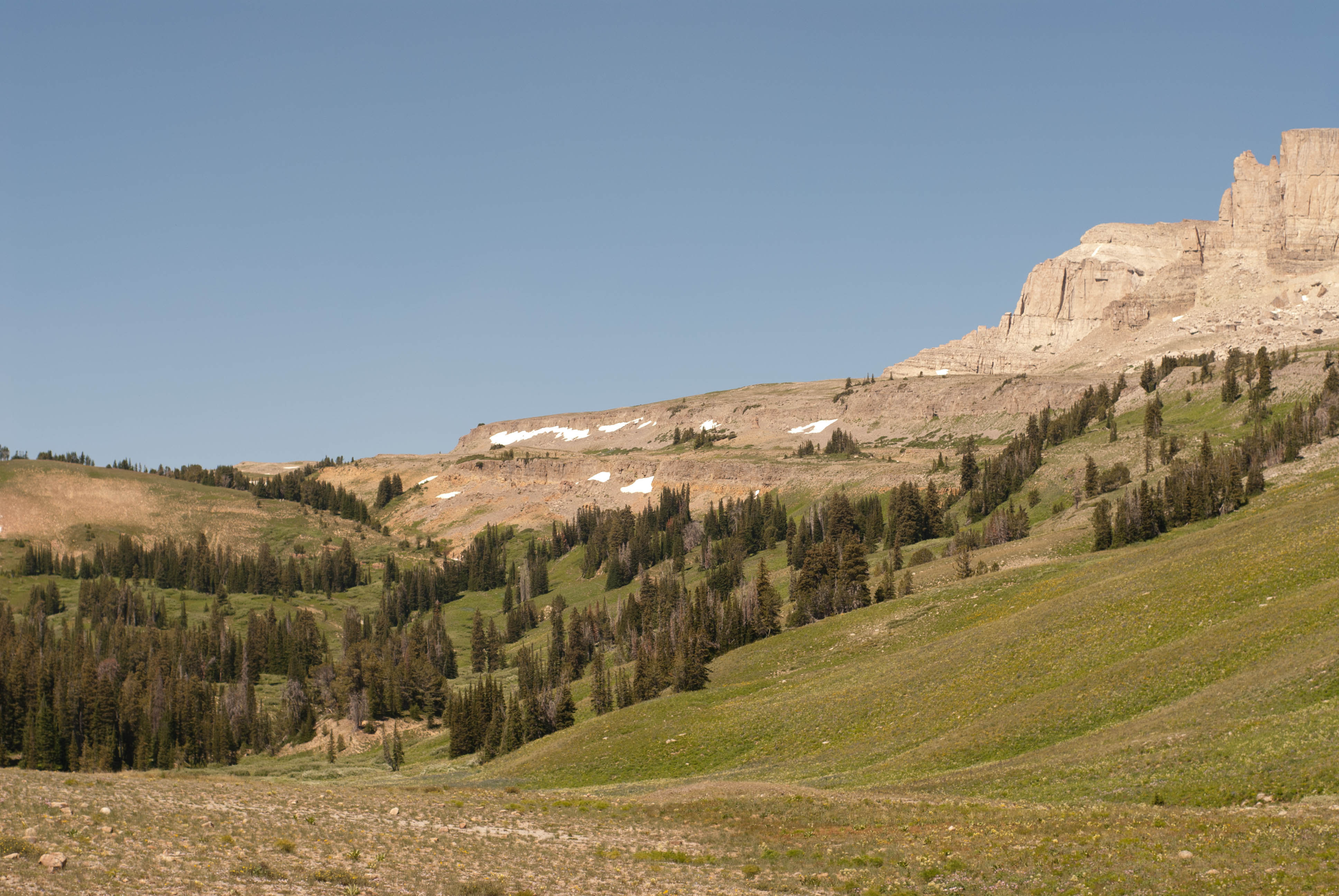
The trail more or less follows the stream. The forest service has installed 4 large poles to use as cairns in one especially marshy area. Southwest ridge of Black peak on the right.
Closer to the pass, looking Southwest. Steamboat peak is on the right.
One of the streams that forms the Gros Ventre
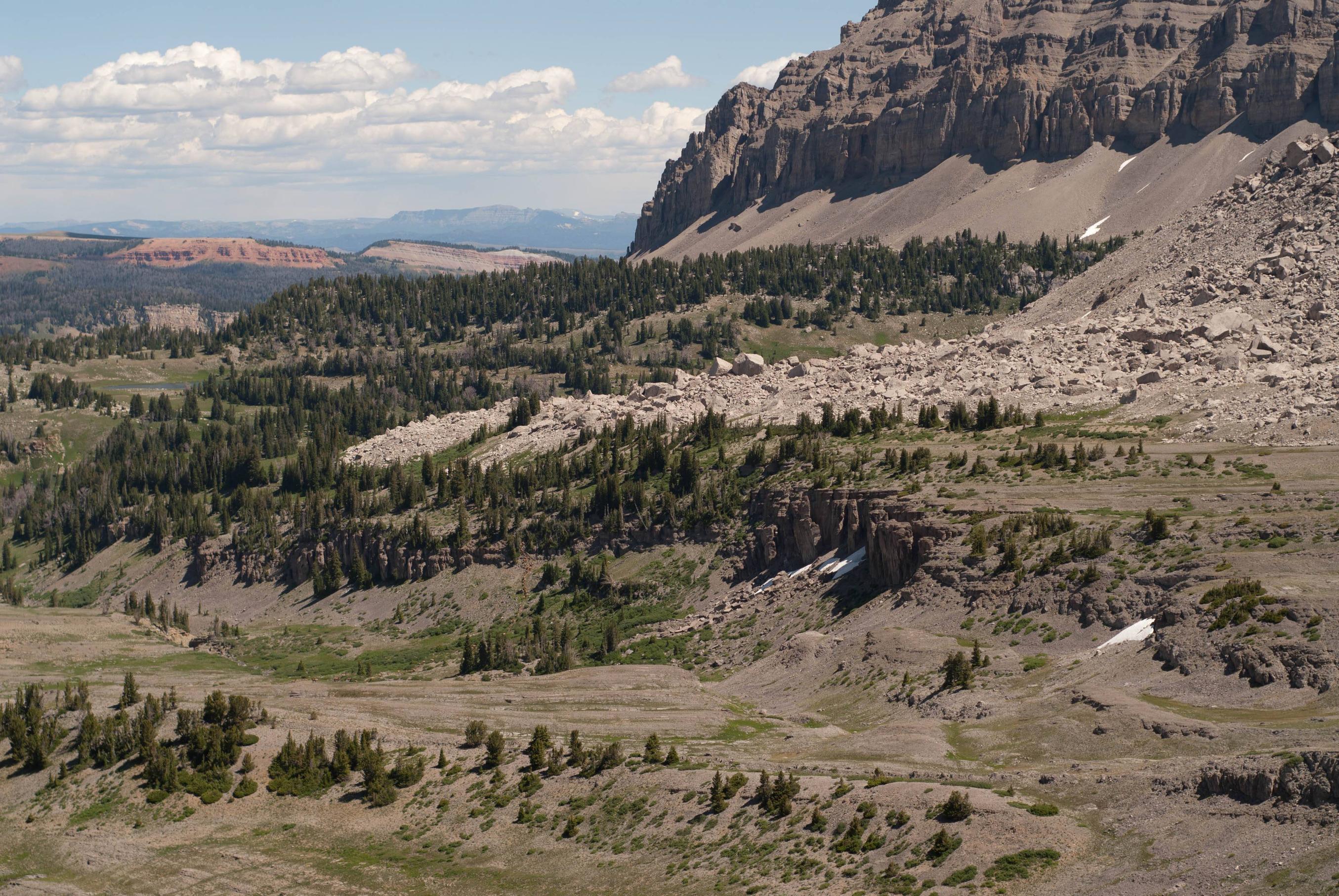
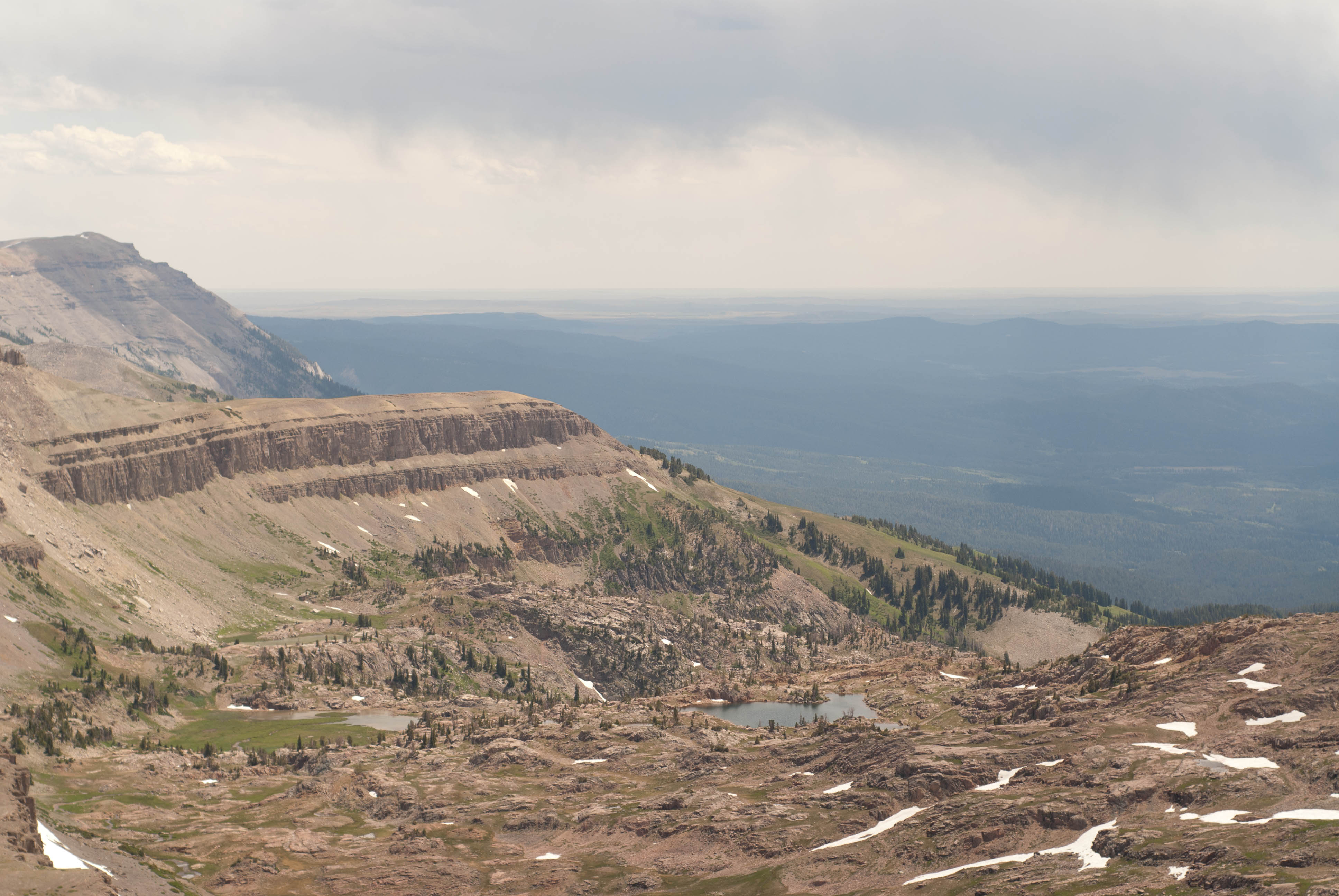
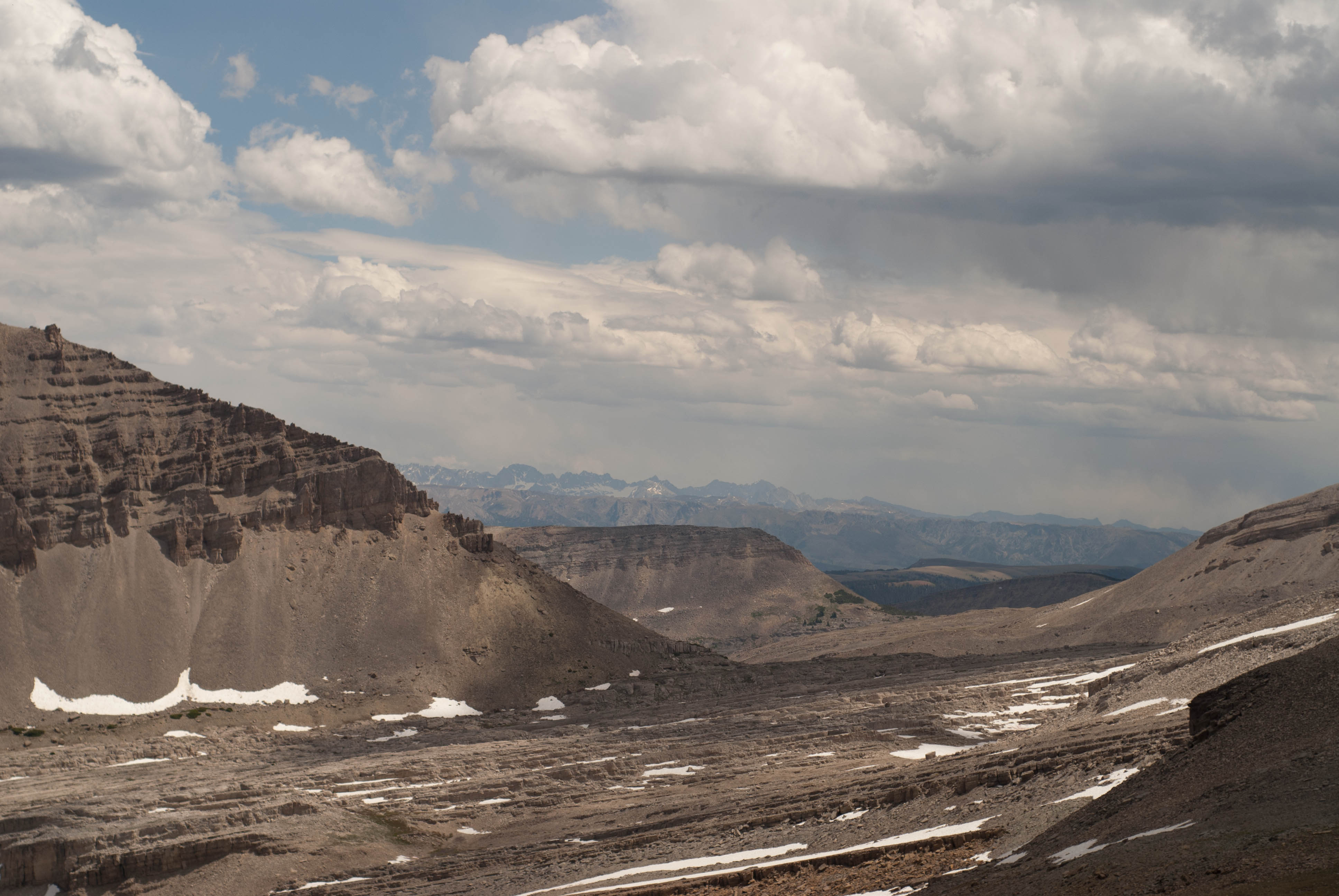
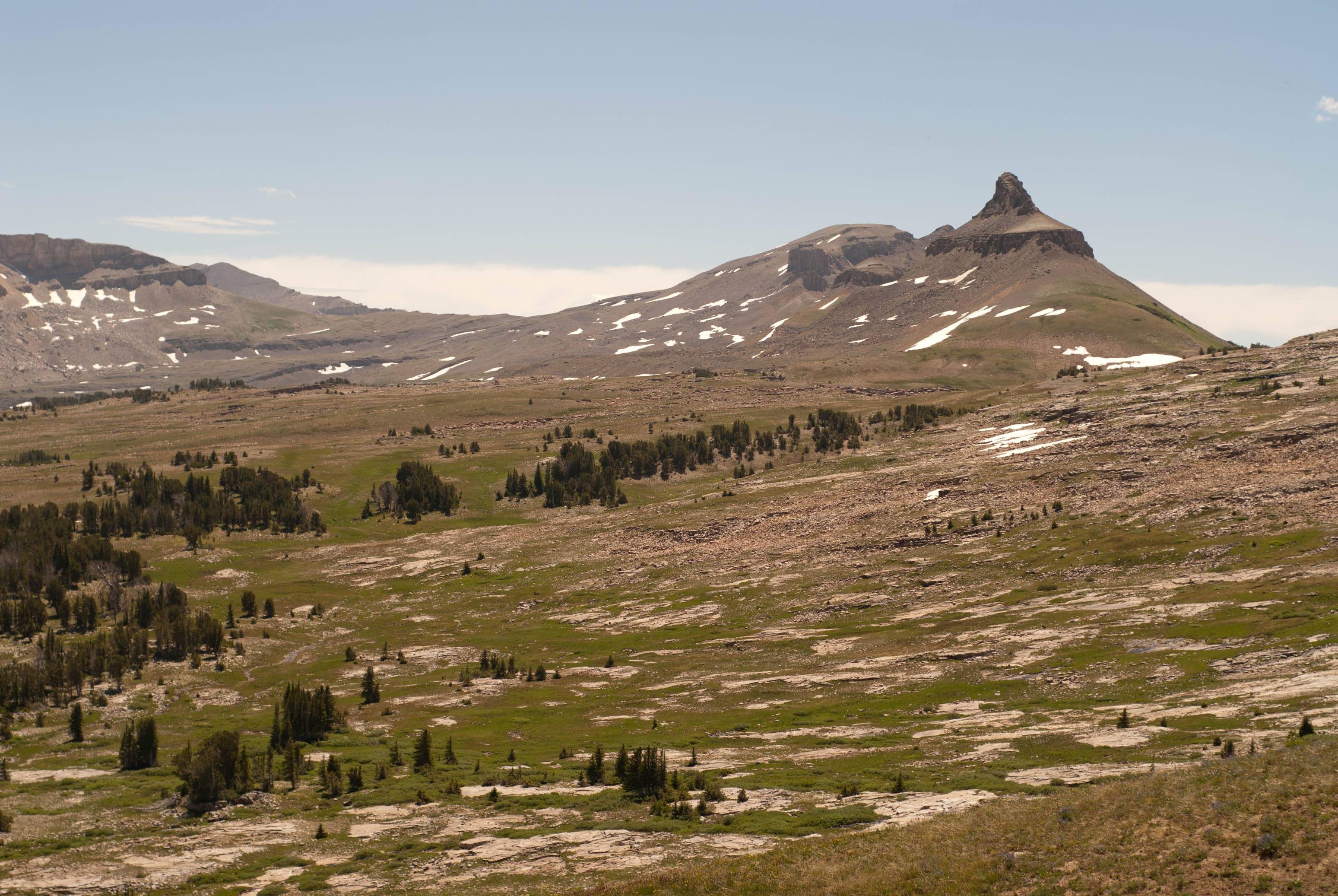
As we made our way closer to the pass, the smoke returned. Unfortunately visibility at the pass was non-existent, and we'd have to wait to see the Tetons. We soon made it to the East ridge of Antoninette peak and began descending the Swift Creek trail. Here we were treated to a nice view down into the Granite Creek Valley, where we finally saw the location of the fire. We were thrilled to see that the fire was a ridge or two from our destination, and we made our way down under a sky half clear and half-filled with smoke.
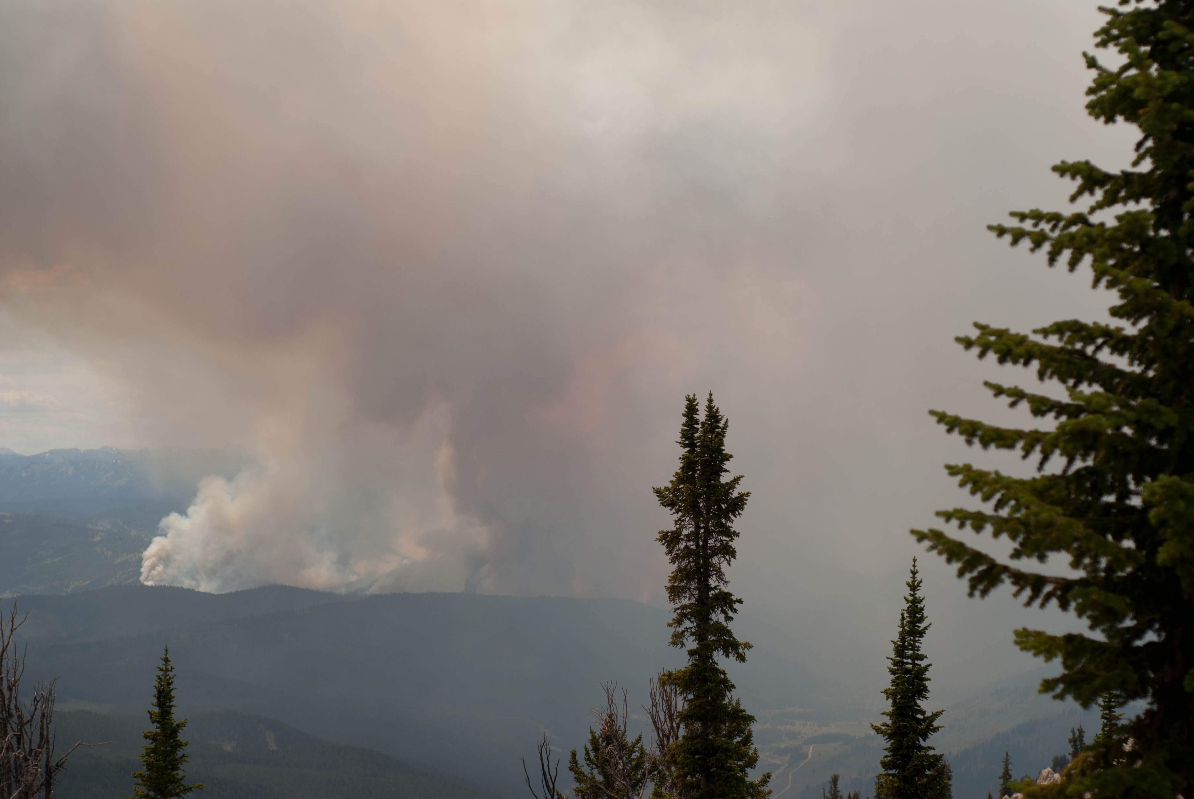
First views of fire
Granite Creek and road are on the right.
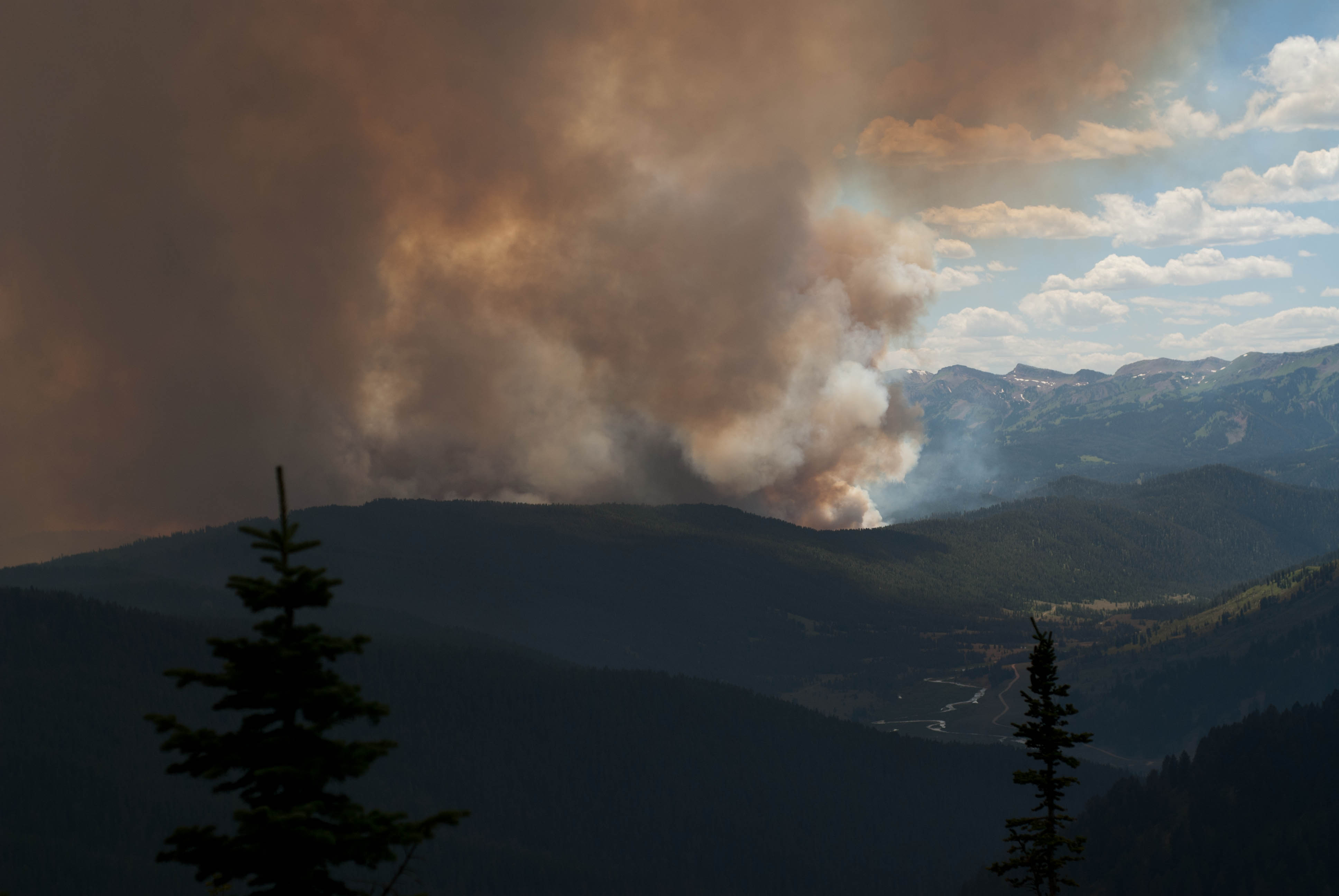
Orange light at 2pm. Due to smoke, we had dark orange sunlight almost dusk-like
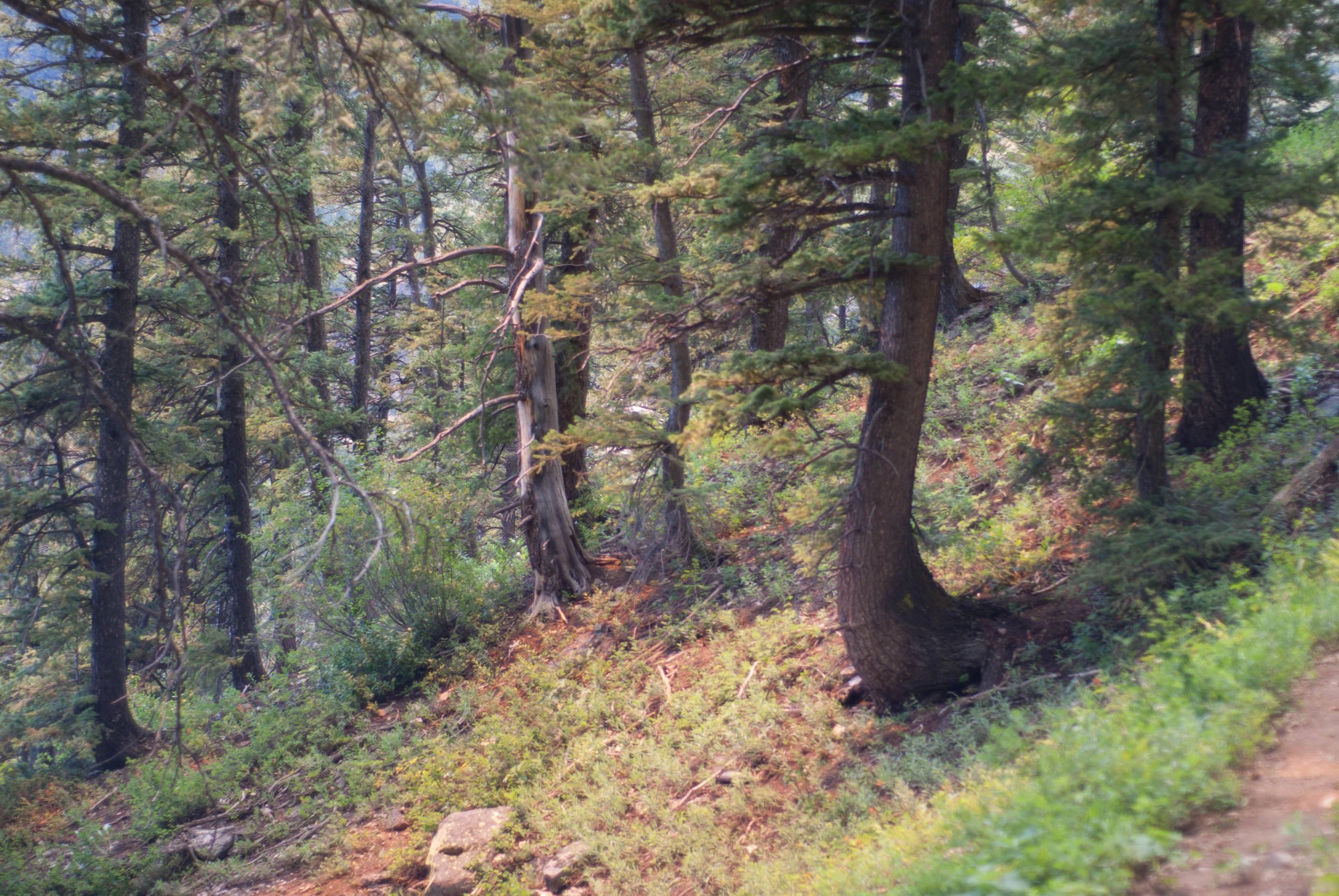
View near Trailhead on the Swift Creek side
We later learned that the fire had been started by a lightning strike on the other side of the highway near Cliff Creek, and fueled by the wind it managed quickly spread into the Shoal Creek/Deer Ridge area. Our trip had been cut short, but we still managed to hike the entire route. We spent the next few days exploring the forests around Yellowstone, including the wonderful Shoshone, where we had a fine hike down into the Clark's Fork near Dead Indian Creek. That area reminded me a bit of Southern Utah, and Tony even claimed to see a Juniper there. Overall a fantastic trip--the Gros Ventre is a true hidden gem.
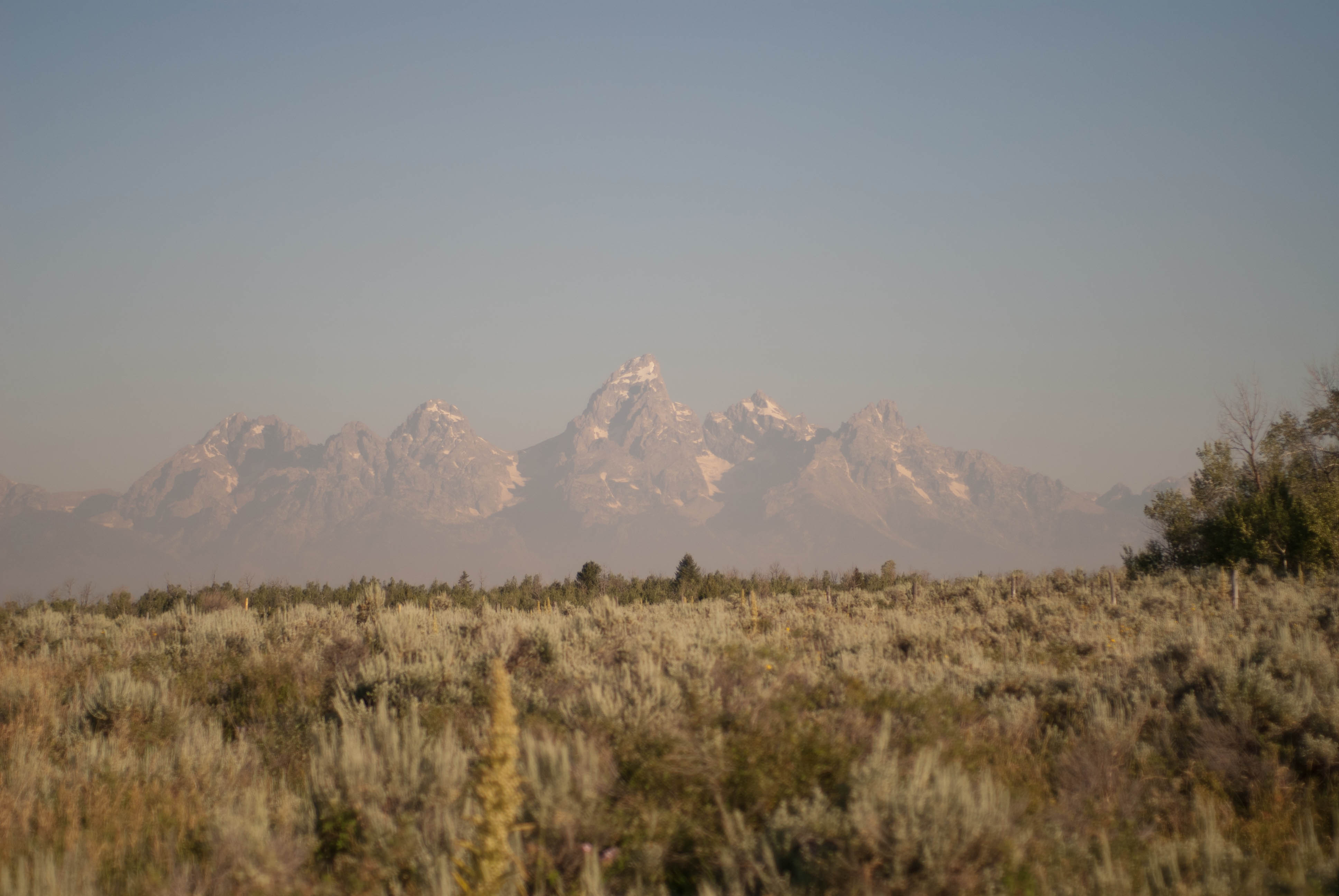
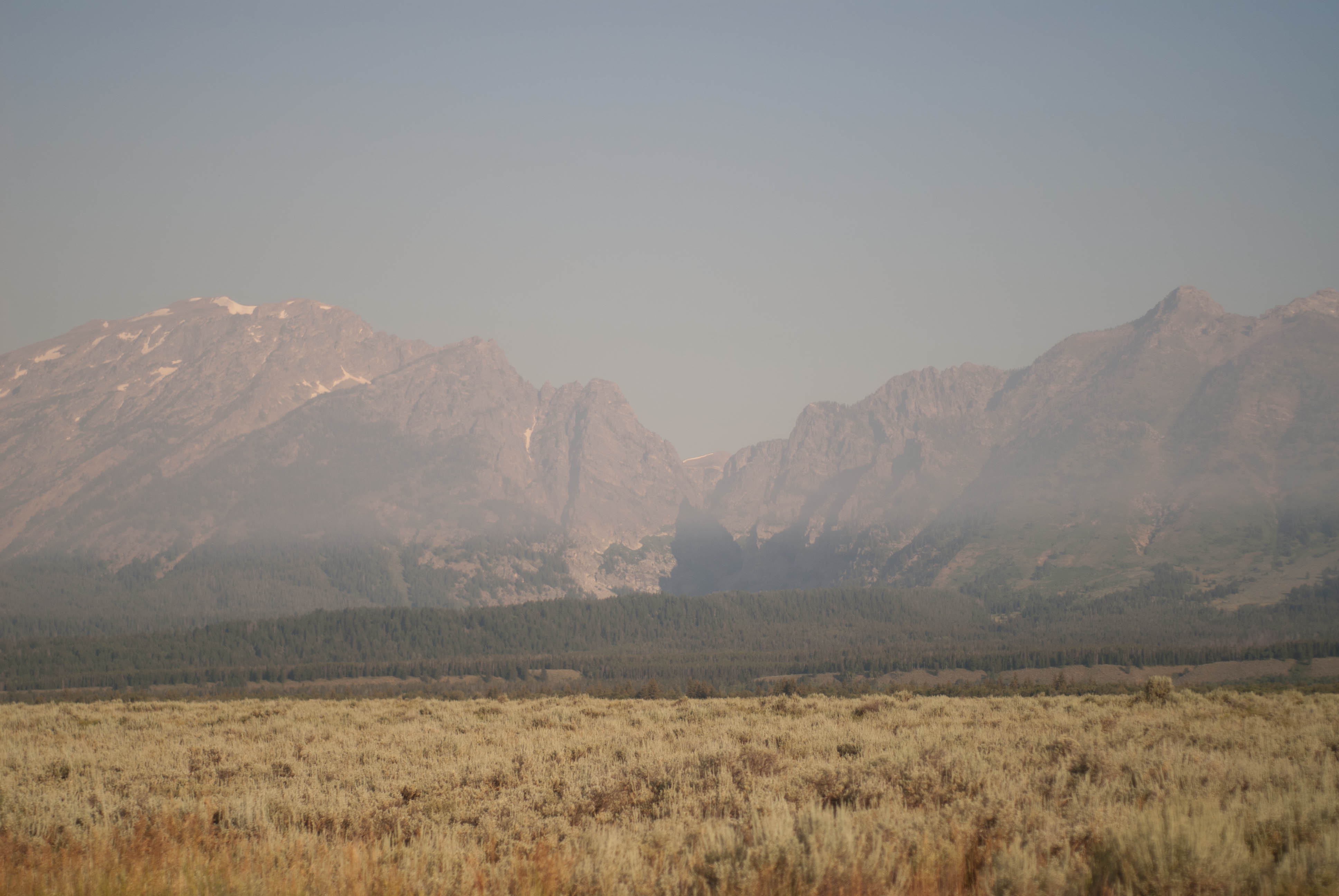
Bonus: smoky tetons
Our plan was to do 6 nights starting from the Granite Creek trailhead, going counterclockwise on the loop from Shoal Creek to the Gros Ventre River, with a side trip into the 6 Lakes Basin (or at least the North side of Black peak). We spent the night at Granite Hot Springs Campground, where we met some nice Wyomingites who were happy to share their Elk tacos with us.
There was only one other car at the trailhead when we arrived, a sign of how seldom used this place is. Another car arrived as we were leaving; two day hikers with three dogs and one rather large gun, for bear I guess. The rest of the trip we would only see two other hikers, but more on that later.
The destination for the first day was Shoal Lake. We would hike down into the Shoal Creek drainage from the trailhead before following the creek up to Shoal Lake. Nothing too difficult about this hike, just 3,000 feet of elevation gain spread out over 10 or 11 miles.
The trailhead
Shoal Falls
As we approached Shoal Lake we roused a bald eagle, who circled overhead for a few minutes trying to get a better look at us.
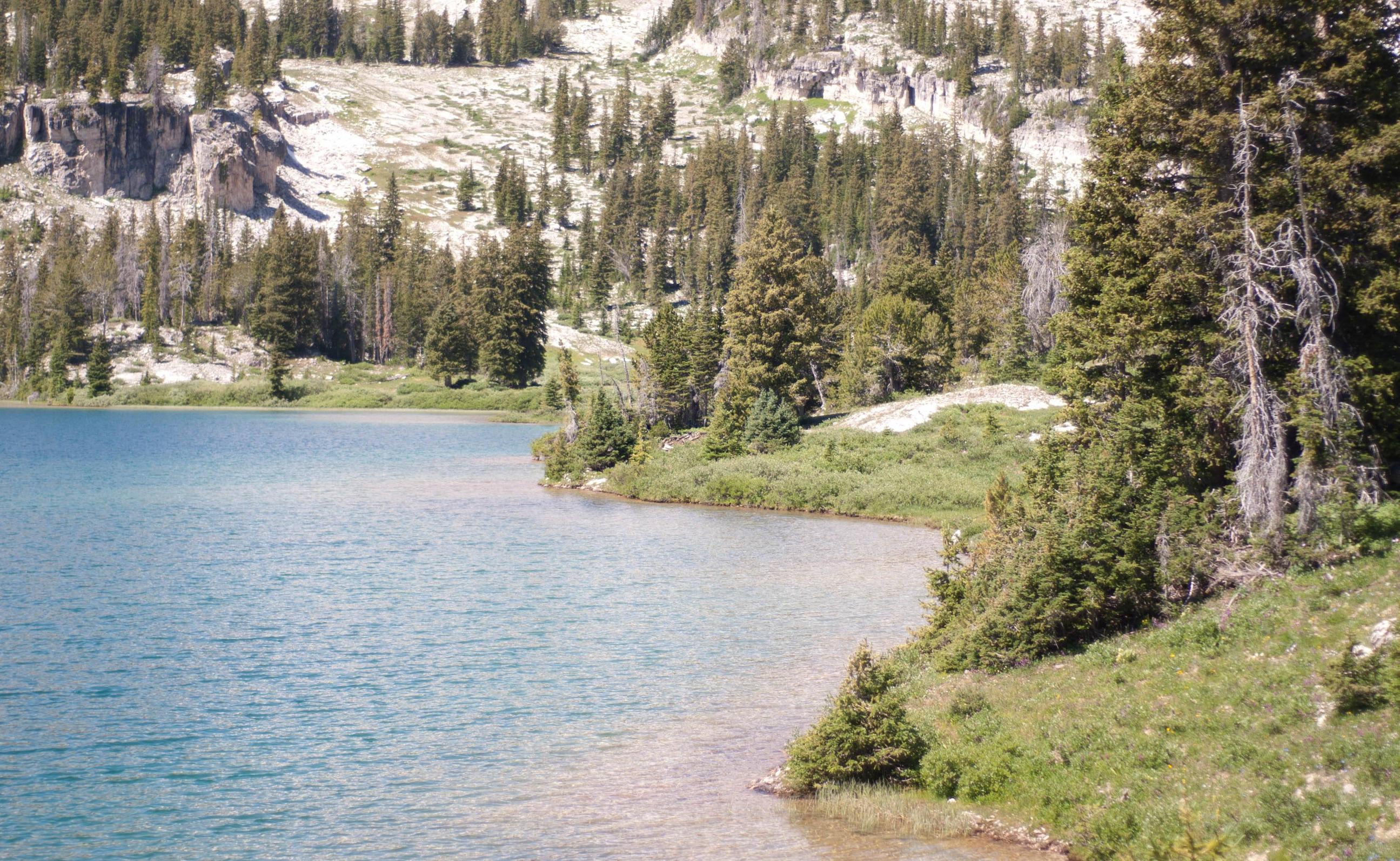
Shoal Lake. Note the ripples on the water from the many trout.
Shoal Lake the next morning. You can see the trail in the middle of the image.
The next morning we got up early to hike to Brewster Lake. We would follow the trail up to the pass, and then depart from the trail to contour around Steamboat peak and up to the pass between Palmer and Darwin peaks. This section was straightforward, and we were treated to views of a large meadow where we noticed an enourmous herd of Elk (or mule deer?). There were probably 70 total, and we sat and watched them move across the valley for a bit.
Note the Elk at the left 1/4, on the ridge above the stream in the valley. Many more were below the ridge
The final section of the hike required a short but tricky scramble up a break in the cliffs between Darwin and Doubletop peaks. This section was quite exposed and I was slightly hesitant before going up, but the climb itself wasn't too bad. In fact, it was easier going than the very loose talus we negotiated en route to the break in the cliffs.
Shot of the break in the cliffs from above. We went up the snow free area below, and climbed up the middle of the three openings.
Happy to be on top, we relaxed and enjoyed our view of Brewster Lake
Brewster Lake
Morning at Brewster Lake
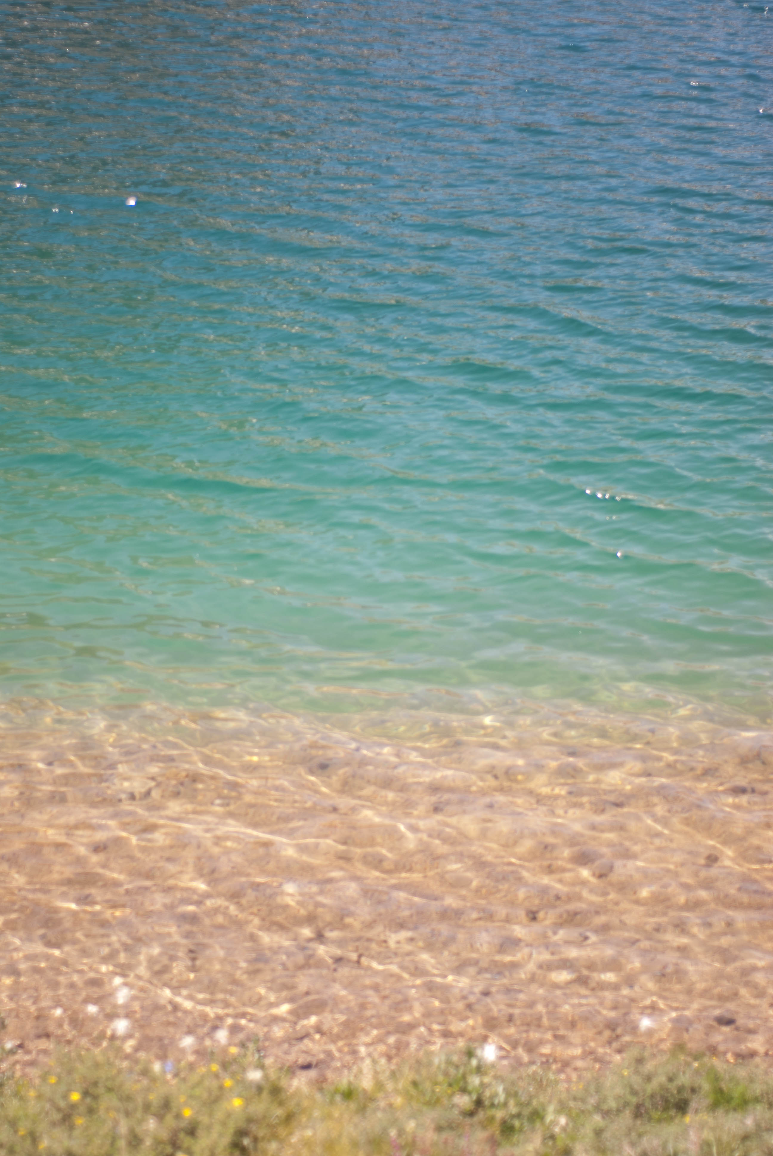
Clear water never ceases to amaze me
Triangle Peak juts out of the water
We planned to spend our third day hiking back up to the pass between Darwin and Doubletop and enjoy a restful day. We hiked up following the main stream that feeds the lake and a series of two other lakes. Eventually we were forced to retreat to the lake by an incoming thunderstorm, a brief inconvenience, or so we thought at the time.
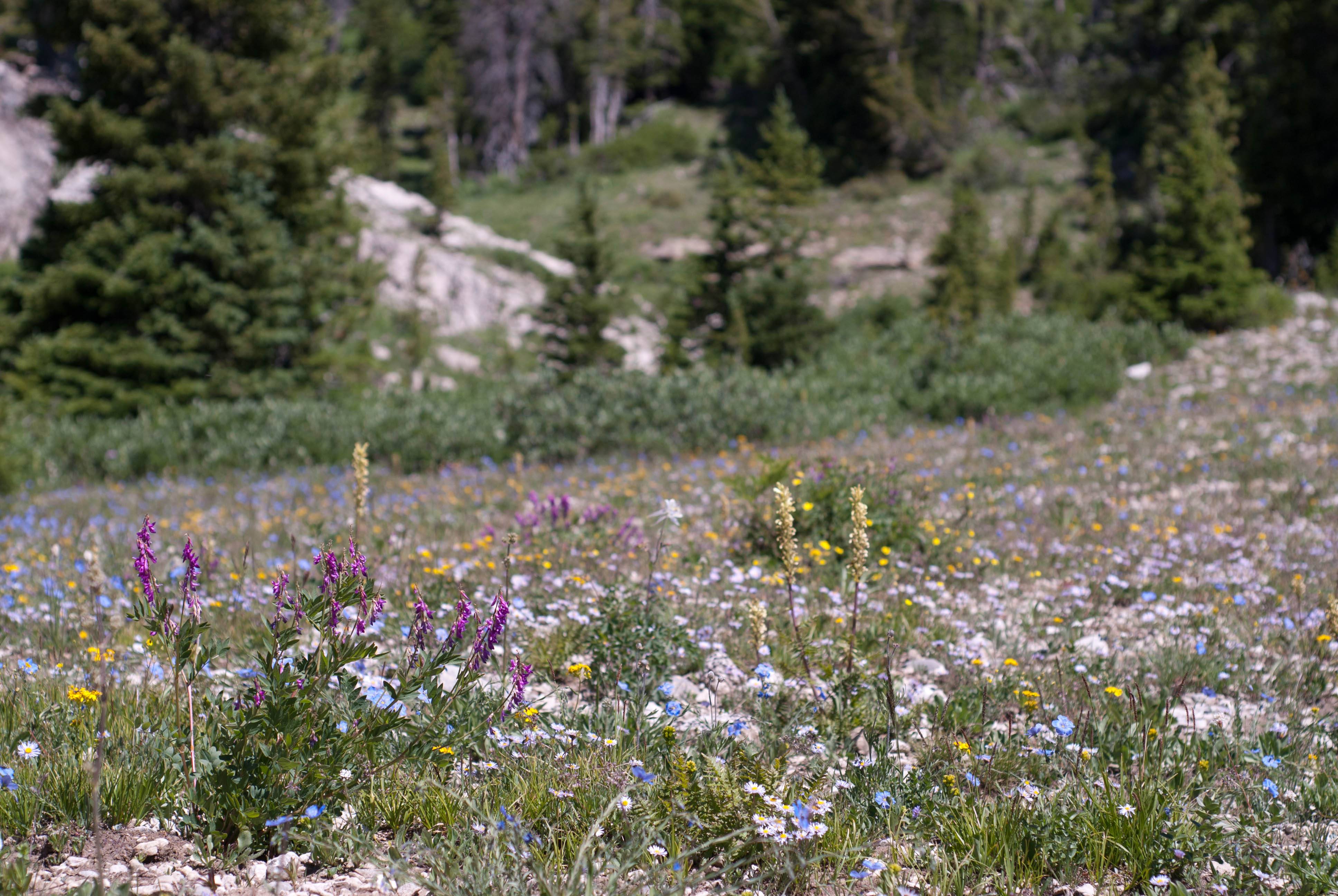
Wildflowers above the lake
The large glacier which feeds the 3rd and smallest lake.
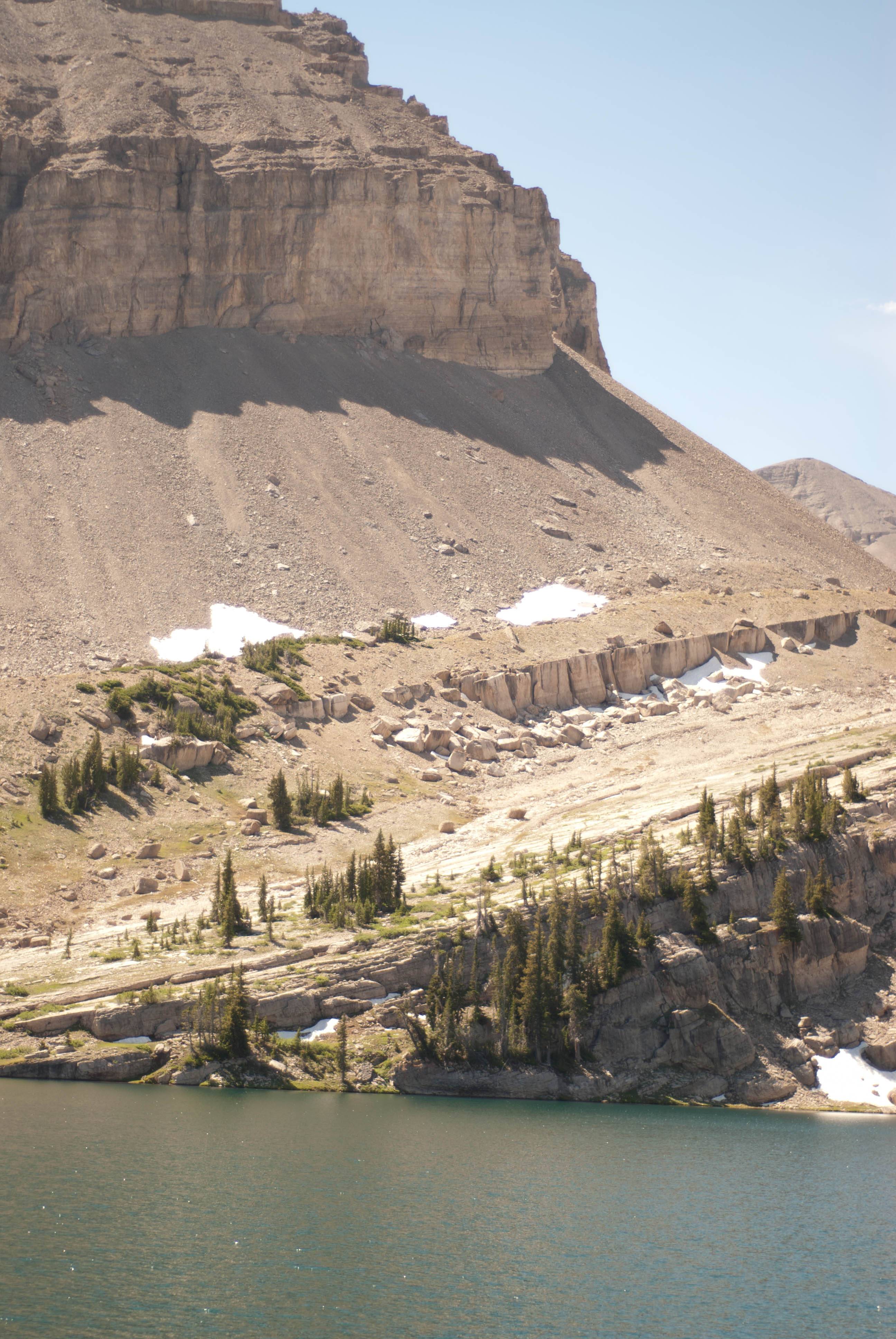
Cliffs in front of Doubletop
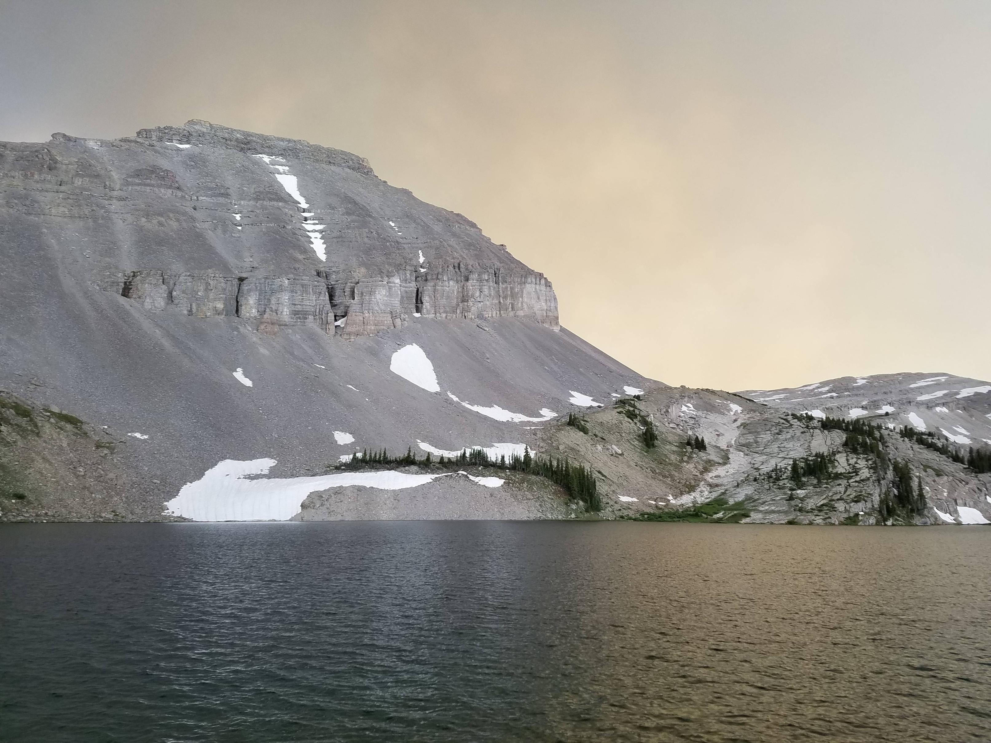
Overlooking the West Dell Creek area. This is likely the storm the started a large wildfire.
Looking Southwest between Triangle and Doubletop. The Winds are on the horizon
Upon returning to camp, we smelled smoke. I looked around and didn't see another campsite, but I assumed that someone was nearby and didn't think much else of it. All the while the weather returned to normal, except for a large but non-threatening gray cloud. Well we eventually realized that we were not looking at a cloud, but a large plume of smoke coming over the ridge Southwest of the lake. We eventually decided to pack our things up and retreat to an area farther away, as the smoke was getting very thick.
Triangle peak smoked out
We figured that we weren't in immediate danger, but the growing smoke with flashes of orange and pink had filled the sky and was rather ominous. We packed out at about 6pm, and hiked down Grizzly basin where we met the only two other people we'd see in the backcountry. After a quick chat about the fire, their plans, and location of the trail through the marsh, we left and crossed the Gros Ventre River. Over the next hour we continued until darkness set and we stopped to set up camp at 10pm.
The next morning we awoke to the sound of Elk (or Mule Deer?) and no smoke in the sky. We weren't sure at that point if we were going to hike all the way out or not, but either way we had to go up the Gros Ventre and begin making our way down Swift Creek.
Meadows along the Gros Ventre
The trail more or less follows the stream. The forest service has installed 4 large poles to use as cairns in one especially marshy area. Southwest ridge of Black peak on the right.
Closer to the pass, looking Southwest. Steamboat peak is on the right.
One of the streams that forms the Gros Ventre
As we made our way closer to the pass, the smoke returned. Unfortunately visibility at the pass was non-existent, and we'd have to wait to see the Tetons. We soon made it to the East ridge of Antoninette peak and began descending the Swift Creek trail. Here we were treated to a nice view down into the Granite Creek Valley, where we finally saw the location of the fire. We were thrilled to see that the fire was a ridge or two from our destination, and we made our way down under a sky half clear and half-filled with smoke.
First views of fire
Granite Creek and road are on the right.
Orange light at 2pm. Due to smoke, we had dark orange sunlight almost dusk-like
View near Trailhead on the Swift Creek side
We later learned that the fire had been started by a lightning strike on the other side of the highway near Cliff Creek, and fueled by the wind it managed quickly spread into the Shoal Creek/Deer Ridge area. Our trip had been cut short, but we still managed to hike the entire route. We spent the next few days exploring the forests around Yellowstone, including the wonderful Shoshone, where we had a fine hike down into the Clark's Fork near Dead Indian Creek. That area reminded me a bit of Southern Utah, and Tony even claimed to see a Juniper there. Overall a fantastic trip--the Gros Ventre is a true hidden gem.
Bonus: smoky tetons
Attachments
Last edited:

