lostlandscapes
rope mule
- Joined
- Jan 17, 2012
- Messages
- 328
When the opportunity arose a few weeks back to join a small group taking on the Zion Traverse, I had to jump on it. Having become familiar with a few of Zions technical canyoneering routes, I felt like I knew the Park relatively well, but not nearly well enough. This would be an incredible chance to see a little more of other side of Zion--the side I've only heard friends talk about. While much of the Traverse keeps you on the beaten path (and in some cases, very beaten), I discovered that there's still plenty of Wild left there.
View larger map.
We chose to go about the Traverse from East to West, mainly due to the fact that you get the biggest (by far) climb out of the way on day one. If we could just make it up to the West Rim in one piece after the 3,000 ft climb from the Virgin River up to our camp on the West Rim during the hottest part of the afternoon, it'd be smooth sailing for the last two days. Our route takes us from right to left on this elevation profile:

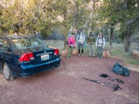
After some car issues and setting up the shuttle, we rolled in to Toquerville at the balmy hour of midnight to crash at a friend's place. With a fairly burly 18 mile day and "crux" 3000 foot climb ahead of us, we departed the arms of generosity and headed out early. A serious shortage of sleep couldn't oppress those smiles once we were geared up at the East Rim trailhead:
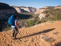
The first 6 miles involved a somewhat sandy but very mellow ascent up through Clear Creek and around the head of Jolley Gulch. Views were bountiful:
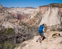
After quickly dispatching the first stage, we began our descent off of the East Rim and down into Echo Canyon. The route takes you past the junction for Observation Point and down into Tourist Land. That small, darkish orange shape in the middle of the image is Angels Landing. Our ultimate goal for the day was still well past that towering landmark:
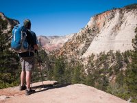
Jeremy admiring the view:
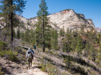
We encountered the best light of the entire trip in the heart of Echo Canyon. Unfortunately, this is also where we encountered the most people:
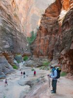
Down the paved switchbacks towards The Grotto we go:
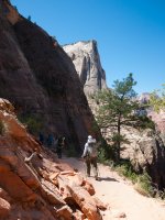
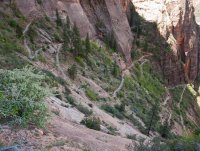
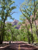
Instead of hopping the shuttle between Weeping Rock and The Grotto we opted to stay true to the route and huff the one mile of asphalt:
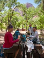
Lunch in the grotto, with 10.5 miles under our belts. The only thing between us and our first camp on the West Rim was 7.5 miles, 3000' of elevation gain, and a litany of tourists staring oddly at our backpacks. Or was it our smell?
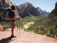
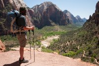
Towards the West Rim we go. Taking a break to enjoy the view down Zion Canyon:
Once above Scout Lookout, things quieted down a bit:
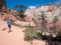
Now we're making some progress. Rick pausing for a moment to enjoy the view from the divide between Telephone and Behunin Canyons. I believe that's Cedar Breaks in the distance?
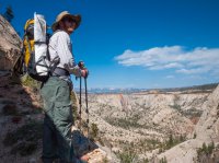
drclef hustling towards the West Rim spring. Water was getting low! Fatigue was running high! Where's the whiskey?
We'd get to that in a bit.
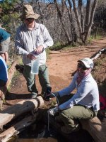
The spring here provided some deliciously cold and clean water. We had to load up all of our water vessels here as our camp for the night would be a dry one:
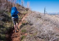
West Rim achieved! A look back to the east as we scurry towards camp:
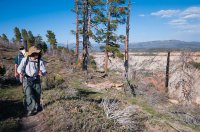
From near our campsite, looking south towards the daunting (yet alluring) Heaps Canyon:
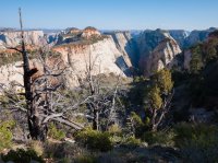
Every great camp has a great climbing tree. This one was no exception:
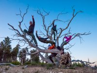
First light hitting Inclined Temple on day 2:
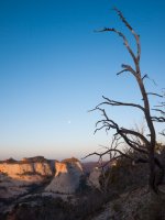
It's Day 2, and we're off. We've got a lot of miles to cover to get to the northern end of Hop Valley by sundown. 22 to be exact. But I honestly don't think you could draw up a more lenient 22 mile hike in the entire region. In the entire Wild West? This baby was, for the most part, a walk in the park.
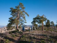
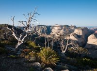
Gazing down into the Right Fork environs, from the head of the technical Hammerhead entrance:
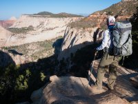
The next leg would see us through the sylvan solitude of Horse Pasture Plateau. Most certainly not the Zion your mother told you about:
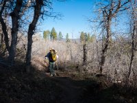
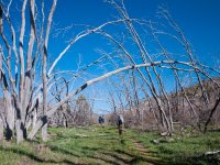
The boneyard of Potato Hollow:
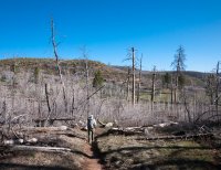
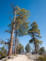
Towering Ponderosas dotted the plateau:
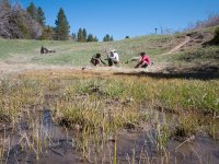
Refilling at Sawmill Springs. This would begin the longest stretch on the entire route lacking water sources, a distance of 12 miles. The next available water wasn't until Hop Valley:
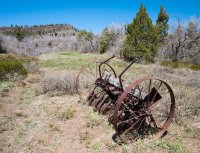
An old plow sits quietly before Lava Point:
Making our way past Pine Valley Mountain:
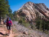
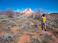
With tired legs and minds, the day yawned with us as we entered the Gates of Hop Valley:
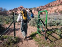
Down Hop Valley we went. Our camp lied at the end of this canyon, about a mile south of the La Verkin drainage (visible as the perpendicular canyon in the distance):
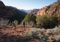
An overgrazed affair, Hop Valley still held onto some nice aesthetic qualities:
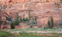
Phew. That was a grunt of a day. The following morning, we awake to renewed spirit and enthusiasm. The lush confines of La Verkin Creek (or was it the cold beer in the Jeep?) were calling. 8 miles to go!
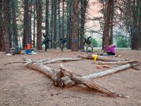
Fascinatingly (and luckily), when we arrived at camp the night before, our sleep spot marked the tip of Hop Valley Creek's diminutive flow. Overnight, it moved another 200 yards or so down canyon. Amazing!
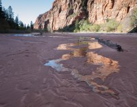
Evidently, there is a trail that circumvents Hop Valley's last boulder-strewn mile, but we missed it. Down the boulder field we go!
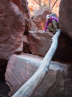
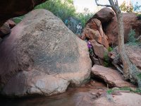
Filling up in La Verkin for the home stretch:
La Verkin was a delightful romp through perfect cascades and red wall majesty. The perfect way to finish our journey:
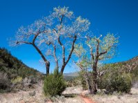
One last cool-down before we begin the final stage: a 1,000 foot climb up Timber Creek and to our Jeep at Lee Pass:
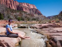
No better way (or place) to end a trip!
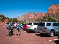
Cheers!
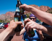
Featured image for home page:
View larger map.
We chose to go about the Traverse from East to West, mainly due to the fact that you get the biggest (by far) climb out of the way on day one. If we could just make it up to the West Rim in one piece after the 3,000 ft climb from the Virgin River up to our camp on the West Rim during the hottest part of the afternoon, it'd be smooth sailing for the last two days. Our route takes us from right to left on this elevation profile:

After some car issues and setting up the shuttle, we rolled in to Toquerville at the balmy hour of midnight to crash at a friend's place. With a fairly burly 18 mile day and "crux" 3000 foot climb ahead of us, we departed the arms of generosity and headed out early. A serious shortage of sleep couldn't oppress those smiles once we were geared up at the East Rim trailhead:

The first 6 miles involved a somewhat sandy but very mellow ascent up through Clear Creek and around the head of Jolley Gulch. Views were bountiful:

After quickly dispatching the first stage, we began our descent off of the East Rim and down into Echo Canyon. The route takes you past the junction for Observation Point and down into Tourist Land. That small, darkish orange shape in the middle of the image is Angels Landing. Our ultimate goal for the day was still well past that towering landmark:

Jeremy admiring the view:


We encountered the best light of the entire trip in the heart of Echo Canyon. Unfortunately, this is also where we encountered the most people:

Down the paved switchbacks towards The Grotto we go:


Instead of hopping the shuttle between Weeping Rock and The Grotto we opted to stay true to the route and huff the one mile of asphalt:

Lunch in the grotto, with 10.5 miles under our belts. The only thing between us and our first camp on the West Rim was 7.5 miles, 3000' of elevation gain, and a litany of tourists staring oddly at our backpacks. Or was it our smell?

Towards the West Rim we go. Taking a break to enjoy the view down Zion Canyon:

Once above Scout Lookout, things quieted down a bit:

Now we're making some progress. Rick pausing for a moment to enjoy the view from the divide between Telephone and Behunin Canyons. I believe that's Cedar Breaks in the distance?

drclef hustling towards the West Rim spring. Water was getting low! Fatigue was running high! Where's the whiskey?
We'd get to that in a bit.

The spring here provided some deliciously cold and clean water. We had to load up all of our water vessels here as our camp for the night would be a dry one:

West Rim achieved! A look back to the east as we scurry towards camp:

From near our campsite, looking south towards the daunting (yet alluring) Heaps Canyon:

Every great camp has a great climbing tree. This one was no exception:

First light hitting Inclined Temple on day 2:

It's Day 2, and we're off. We've got a lot of miles to cover to get to the northern end of Hop Valley by sundown. 22 to be exact. But I honestly don't think you could draw up a more lenient 22 mile hike in the entire region. In the entire Wild West? This baby was, for the most part, a walk in the park.


Gazing down into the Right Fork environs, from the head of the technical Hammerhead entrance:

The next leg would see us through the sylvan solitude of Horse Pasture Plateau. Most certainly not the Zion your mother told you about:

The boneyard of Potato Hollow:


Towering Ponderosas dotted the plateau:

Refilling at Sawmill Springs. This would begin the longest stretch on the entire route lacking water sources, a distance of 12 miles. The next available water wasn't until Hop Valley:

An old plow sits quietly before Lava Point:

Making our way past Pine Valley Mountain:


With tired legs and minds, the day yawned with us as we entered the Gates of Hop Valley:

Down Hop Valley we went. Our camp lied at the end of this canyon, about a mile south of the La Verkin drainage (visible as the perpendicular canyon in the distance):

An overgrazed affair, Hop Valley still held onto some nice aesthetic qualities:

Phew. That was a grunt of a day. The following morning, we awake to renewed spirit and enthusiasm. The lush confines of La Verkin Creek (or was it the cold beer in the Jeep?) were calling. 8 miles to go!

Fascinatingly (and luckily), when we arrived at camp the night before, our sleep spot marked the tip of Hop Valley Creek's diminutive flow. Overnight, it moved another 200 yards or so down canyon. Amazing!

Evidently, there is a trail that circumvents Hop Valley's last boulder-strewn mile, but we missed it. Down the boulder field we go!


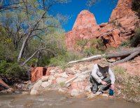
Filling up in La Verkin for the home stretch:

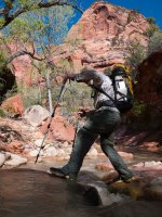
La Verkin was a delightful romp through perfect cascades and red wall majesty. The perfect way to finish our journey:


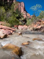
One last cool-down before we begin the final stage: a 1,000 foot climb up Timber Creek and to our Jeep at Lee Pass:

No better way (or place) to end a trip!

Cheers!

Featured image for home page:


