chandlerwest
Member
- Joined
- Feb 7, 2015
- Messages
- 550
I presume there is an area of Zion National Park that doesn't get much action. The East Rim Trail and Deertrap Trail can get you initial access but soon you have to head off trail to get to what could be some of the grandest views in the National Park Service. It took me three separate day treks to cover the rim from east to west.
This area is prime landscape for expanding the backcountry of Zion. Put in a dozen campsites and build an easy trail and it would be appreciated for generations to come. But I don't think that this type of development is part of the Park Services recent mindset. They understandably focus on how to give the multitudes that visits Parks a better experience of the currently available access. Weren't the last trails built in the 1930's....ha.
Zion is blessed with easily attained wilderness for those with the desire and time.
My initial trip was in March 2017. I headed up the East Rim Trail three or so miles until I came to the head of an unnamed canyon. The trail is put behind me and the adventure begins.
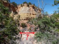
Jolley Gulch from the East Rim Trail
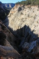
Head out thru the maze of brush. With no foliage in March it made it easier to weave my way in and around.
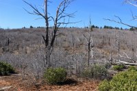
Looking to the rim country to the west.
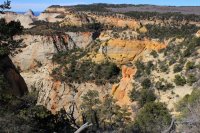
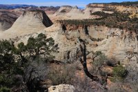
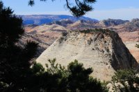
How is this for a perfect split. I felt like I was the first to trek these ridges.
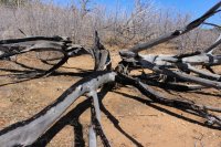
Looking across future rim country.
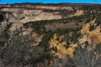
The following four photos are a panorama from the point from west to east.
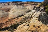
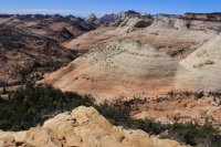
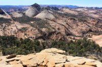
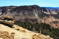
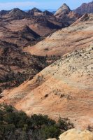
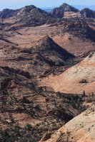
Interesting pothole like Upper Keyhole Canyon. I need to explore that!
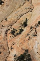
Keyhole Canyon narrows
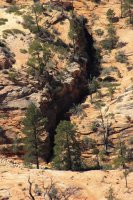
Walls of Parunuweep Canyon on the southern border of Zion National Park
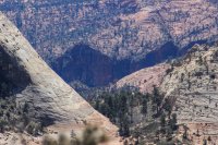
Walking east along the rim.
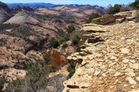
The view out the east entrance of Zion National Park
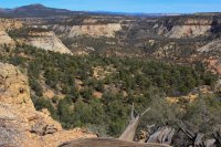
That is Checkerboard Mesa on the left.
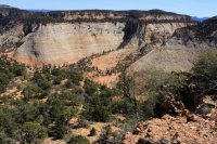
Views across then down the unnamed canyon where I went off trail.
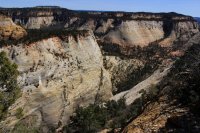
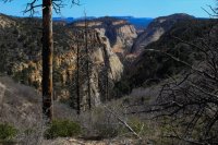
The last week of September I continued my adventure. In order to day hike I needed to use any access that was available. If you drive through a guest ranch along the North Fork road you find this obscure connector trail that gives quick access to the mid point of the East Rim Trail. After almost 2 miles on trail I head off trail again.
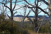
Looking across the Root Canals. These are two parallel canyons that sort of like an tooth x-ray on Google Earth or a map.
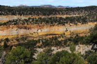
Landscape to get to the rim
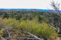
At the southwest point of the ridge. I saw similar rock formations in March on the southwest corner of that trip. 1.1 miles away as the crow flies. What is that about?
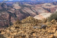
The following five photos are a panorama from the east to the west. Yonder high spot, to the left of middle has the similar ground rock
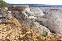
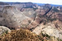
Lower end of the Root Canal
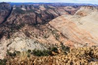
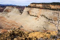
Note the ridge that separates the Root Canal
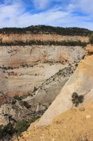
Miscellaneous views as I walk to the east.
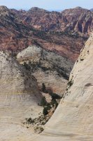
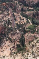
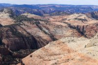
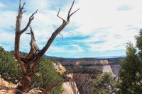
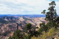
Lets call this West Fork of Keyhole
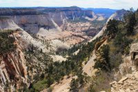
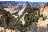
Now to work my way to the head of the Root Canals. I found that if I connected the tree skeletons the bushwacking wasn't That bad.
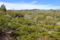
East Root Canal
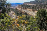
Head of East Root Canal
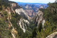
I'm now heading along the ridge that separates the Root Canals. This is looking into the West Root Canal
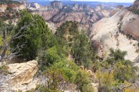
This was a two feet circular, couple inches thick rock that blew my mind.
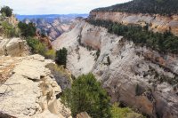
I went until I was stopped by a 50 ft. drop off
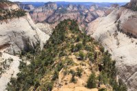
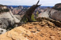
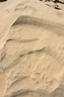
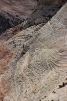
The beauty of Zion is in the details
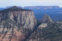
The head of West Root Canal. A bit of a bear to reach!
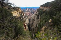
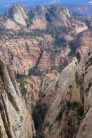
The third day of the adventure took place October 3rd. I was amazed I headed perfectly to the West Root Canal. I am heading out the ridge on the right.
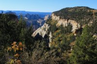
The terrain is narly but not as bad as it looks
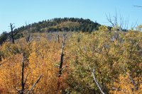
At 6,900 feet this is pretty high for this area. This is a shot far off to the north.
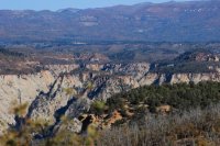
I loved the early morning light kissing the slopes
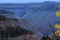
Across to West Temple
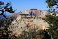
Todays trip was essentially a horseshoe around a basin that I wrote an earlier trip report for. This basin has extremely challenging access so I considered it a hidden wonder of the park. This looks across to Deertrap Mtn. which is where my rim trek will end. Flat green ridge.
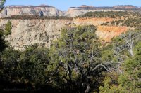
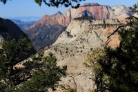
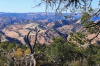
Looking up the Root Canal
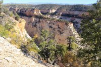
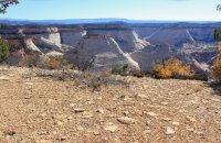
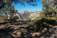
The following five photos are a panorama from west to east
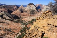
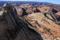
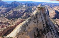
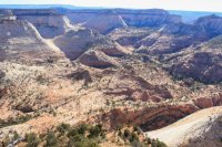
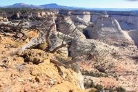
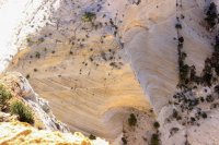
Looking straight down.......the lines!
Bridge Mountain
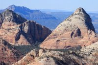
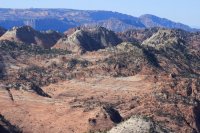
East Temple -- West Temple
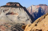
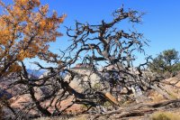
Now I start the horseshoe around the basin
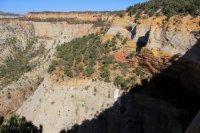
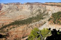
Progeny Peak is way down there on the left middle. @Scott Chandler and @Jeffrey Chandler and I have scrambled up that.
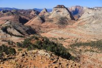
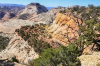
Lets call this Small Tunnel Canyon. I have yet to explore that.
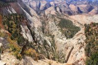
Check out that tree hanging onto that rock
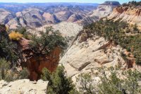
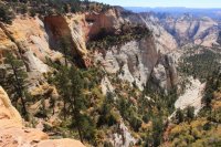
The following four photos are from a surprise point that I wasn't expecting. From west to east
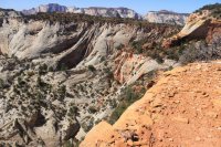
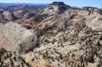
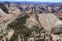
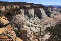
Shooting across Deertrap to West Temple
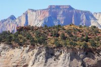
A view to the north. Great White Throne is in the middle with the hoodoos on top.
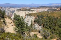
I was startled by these Bighorn a split second after I startled them.
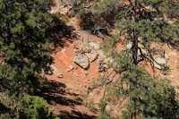
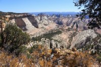
The Virgin River Canyon becomes visible to the west.
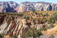
Head of Pine Creek Canyon
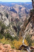
Making my way out Deertrap Mtn. Court of the Patriarchs
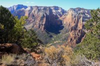
The following five photos are a panorama from east to west from the point of Deertrap Mtn.
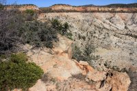
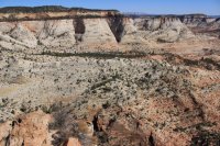
Progeny Peak and Pine Creek
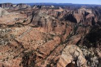
East Temple
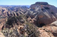
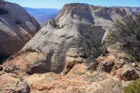
Gifford Canyon which heads south from the east end of the long tunnel
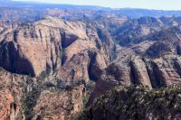
Spry Canyon and what I am calling the reflective light on East Temple
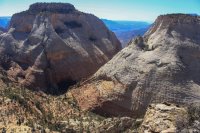
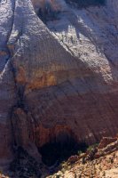
Cliffs far to the east.
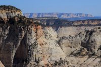
Headed back to the trail from the point of Deertrap the views got simply nuts into the Virgin River Canyon.
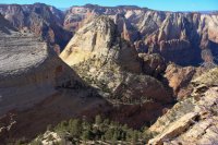
Looks up into the drainage above Court of the Patriarchs
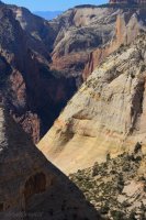
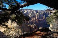
The Zion Lodge is at the end of this canyon in the foreground.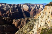
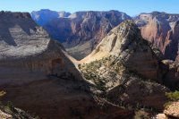
Look at that wall!!
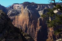
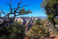
Now it is a 4 mile hike back the trail to the car.
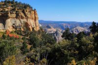
But first lets see if I can find the head of Hidden Canyon
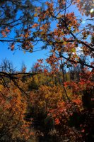
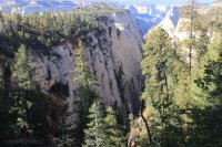
To get to this limited shot I had to go across a side angled, loose, poison oak, dark forest slope.
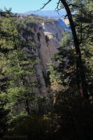
Surely I could do better so I clawed my way up hill under tree limbs and over rocks. A bit better.
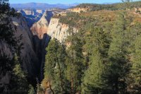
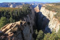
That is Observation Point at the mouth of the canyon.
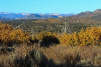
The pink cliffs far to the north.
Three years ago I started my exploration of the east side of Zion. I almost have the map filled in with what I am capable of doing. Enjoy!
This area is prime landscape for expanding the backcountry of Zion. Put in a dozen campsites and build an easy trail and it would be appreciated for generations to come. But I don't think that this type of development is part of the Park Services recent mindset. They understandably focus on how to give the multitudes that visits Parks a better experience of the currently available access. Weren't the last trails built in the 1930's....ha.
Zion is blessed with easily attained wilderness for those with the desire and time.
My initial trip was in March 2017. I headed up the East Rim Trail three or so miles until I came to the head of an unnamed canyon. The trail is put behind me and the adventure begins.
Jolley Gulch from the East Rim Trail

Head out thru the maze of brush. With no foliage in March it made it easier to weave my way in and around.

Looking to the rim country to the west.


How is this for a perfect split. I felt like I was the first to trek these ridges.

Looking across future rim country.

The following four photos are a panorama from the point from west to east.


Interesting pothole like Upper Keyhole Canyon. I need to explore that!

Keyhole Canyon narrows

Walls of Parunuweep Canyon on the southern border of Zion National Park

Walking east along the rim.

The view out the east entrance of Zion National Park

That is Checkerboard Mesa on the left.

Views across then down the unnamed canyon where I went off trail.


The last week of September I continued my adventure. In order to day hike I needed to use any access that was available. If you drive through a guest ranch along the North Fork road you find this obscure connector trail that gives quick access to the mid point of the East Rim Trail. After almost 2 miles on trail I head off trail again.

Looking across the Root Canals. These are two parallel canyons that sort of like an tooth x-ray on Google Earth or a map.

Landscape to get to the rim

At the southwest point of the ridge. I saw similar rock formations in March on the southwest corner of that trip. 1.1 miles away as the crow flies. What is that about?

The following five photos are a panorama from the east to the west. Yonder high spot, to the left of middle has the similar ground rock


Lower end of the Root Canal


Note the ridge that separates the Root Canal

Miscellaneous views as I walk to the east.


Lets call this West Fork of Keyhole


Now to work my way to the head of the Root Canals. I found that if I connected the tree skeletons the bushwacking wasn't That bad.

East Root Canal

Head of East Root Canal

I'm now heading along the ridge that separates the Root Canals. This is looking into the West Root Canal

This was a two feet circular, couple inches thick rock that blew my mind.

I went until I was stopped by a 50 ft. drop off


The beauty of Zion is in the details


The head of West Root Canal. A bit of a bear to reach!


The third day of the adventure took place October 3rd. I was amazed I headed perfectly to the West Root Canal. I am heading out the ridge on the right.

The terrain is narly but not as bad as it looks

At 6,900 feet this is pretty high for this area. This is a shot far off to the north.

I loved the early morning light kissing the slopes

Across to West Temple

Todays trip was essentially a horseshoe around a basin that I wrote an earlier trip report for. This basin has extremely challenging access so I considered it a hidden wonder of the park. This looks across to Deertrap Mtn. which is where my rim trek will end. Flat green ridge.


Looking up the Root Canal


The following five photos are a panorama from west to east


Looking straight down.......the lines!

Bridge Mountain


East Temple -- West Temple


Now I start the horseshoe around the basin


Progeny Peak is way down there on the left middle. @Scott Chandler and @Jeffrey Chandler and I have scrambled up that.


Lets call this Small Tunnel Canyon. I have yet to explore that.

Check out that tree hanging onto that rock


The following four photos are from a surprise point that I wasn't expecting. From west to east


Shooting across Deertrap to West Temple

A view to the north. Great White Throne is in the middle with the hoodoos on top.

I was startled by these Bighorn a split second after I startled them.


The Virgin River Canyon becomes visible to the west.

Head of Pine Creek Canyon

Making my way out Deertrap Mtn. Court of the Patriarchs

The following five photos are a panorama from east to west from the point of Deertrap Mtn.


Progeny Peak and Pine Creek

East Temple


Gifford Canyon which heads south from the east end of the long tunnel

Spry Canyon and what I am calling the reflective light on East Temple


Cliffs far to the east.

Headed back to the trail from the point of Deertrap the views got simply nuts into the Virgin River Canyon.

Looks up into the drainage above Court of the Patriarchs


The Zion Lodge is at the end of this canyon in the foreground.


Look at that wall!!


Now it is a 4 mile hike back the trail to the car.

But first lets see if I can find the head of Hidden Canyon

To get to this limited shot I had to go across a side angled, loose, poison oak, dark forest slope.

Surely I could do better so I clawed my way up hill under tree limbs and over rocks. A bit better.


That is Observation Point at the mouth of the canyon.

The pink cliffs far to the north.

Three years ago I started my exploration of the east side of Zion. I almost have the map filled in with what I am capable of doing. Enjoy!
Last edited:

