shredhiker
Member
- Joined
- Feb 14, 2023
- Messages
- 172
I'll preface this by saying I was bluff charged by a grizzly on day 2. I notified the BCO about the encounter after hiking out, and within a day or two they updated the backcountry situation report with an accurate location.
I've been wanting to hike this area ever since our first time visiting Yellowstone. I went off on my own to hike Bunsen Peak one morning, coming from the east coast & knowing nothing about hiking at altitude, I thought that 2.1 miles up to the summit was going to kill me that day. I'll never forget the feeling I got, looking out into that expansive wilderness, wondering what it's like to roam through there. Several times since then, I've looked at maps and campsites of the area thinking I'd plan a trip there someday, but not making it a huge priority. This year brought a few unexpected changes my way, which ended up with me having 8-9 days in the area unexpectedly, and a few weeks before flying out I was able to get a permit for a route fairly close to the one that had been in the back of my mind for a few years.
Traveling in was the same old song & dance; flight delayed, then canceled, switch airlines, arrive in Dubois at 2am the morning of rather than 3pm the afternoon before. At this point, we joke that it's just the toll we pay to get to that part of the country. I slept in later than planned that morning, grabbed some breakfast from the Cowboy Café, then made my way toward the south entrance ranger station to pick up my permit. It was a rainy day driving through, so the scenery wasn't as enjoyable as I'd have hoped. As I passed through West Yellowstone around 1:30 that afternoon, I found a restaurant with few cars outside, and stopped in for a quick lunch. I was already behind schedule, so why not try to enjoy one last real meal before heading into the woods for a week. The rain hadn't really hit that area yet that day, it was all warm & sunny. I made it to the Bighorn Pass Trailhead around 2:30, where I'd be starting my hike from. The route had me ending at the Specimen Creek Trailhead, and I'd previously planned to drop the rental off there & hitch a ride down to the starting point. But getting in later than expected & seeing dark clouds looming off in the horizon, I decided to go ahead and start my hike hoping to make it to camp before the rain came in heavy. I'd have to deal with getting back to the car in 8 days, and with an easy 2 mile hike out, that shouldn't be a big deal.
Day 1: Aug 8
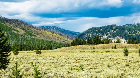
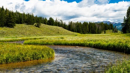
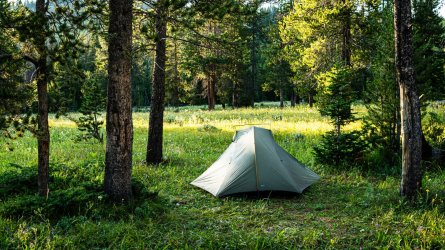
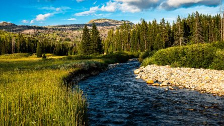
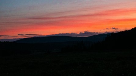
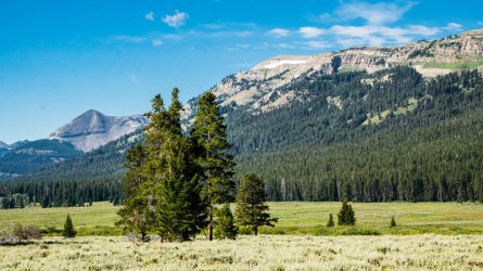
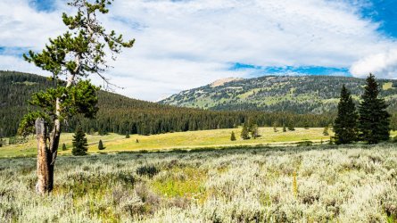
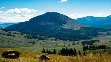
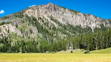
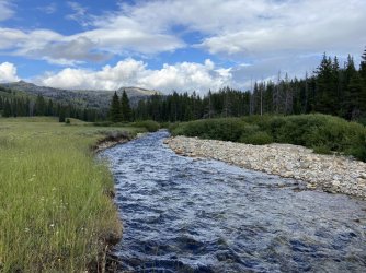
I started out following the Bighorn Pass Trail along a really beautiful stretch of the Gallatin River with plenty of sage brush, big open meadow, and pines. Although the views really weren't that different than what's seen along the roadway, it wasn't long into the hike that it just felt great to be out there, and all the travel related turmoil was quickly forgotten. Around 4pm the rain came in, not as heavily as the skies were indicating, but enough to suit up in the rain gear and put the camera away while I marched on to camp. By the time I got to site WB1 around 5pm, the rain had pretty much stopped. After hanging my food and setting up camp, I had plenty of time to hang my little hummingbird hammock and enjoy a nice lazy evening before dinner. I really enjoyed the campsite, with big open views in every direction, some clusters of trees around the food prep areas & tent sites, and sunset that night was particularly stunning. Day one was easy 4.2 miles and 420' of elevation gain.
Day 2: Aug 9
It was a shockingly cold first night, definitely the coldest August night that I can recall in the area. I pretty much always find myself out there the 2nd week of August. All the same, I slept pretty well and was up & about by 6:30 that morning, knowing I had a very long day ahead. I wasted more time than I should have enjoying the views around camp, and waiting for the sun to dry out my damp clothes from the previous days rain. I hiked out around 9:30am to begin my trek up to Fawn Pass, and then down across the Galatin BMA to Campsite 1G2 at Gardners Hole.
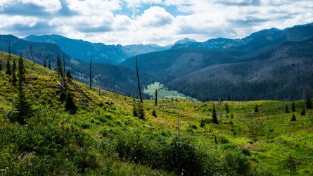
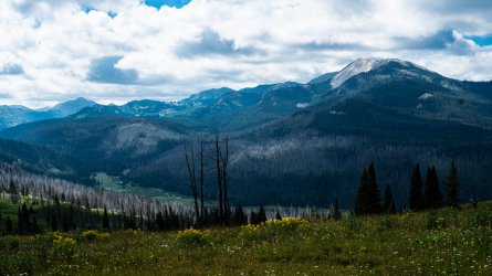
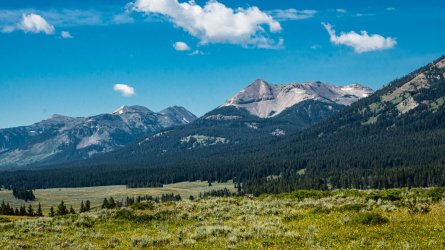
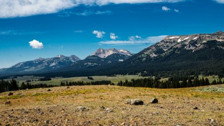
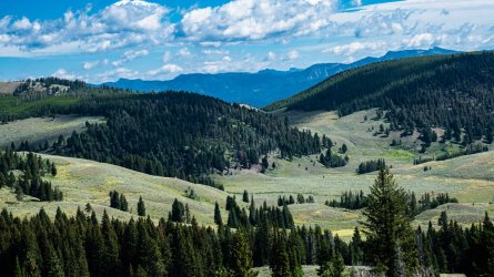
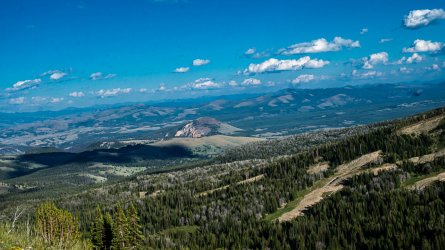
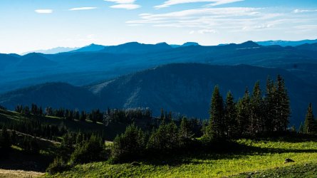
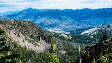
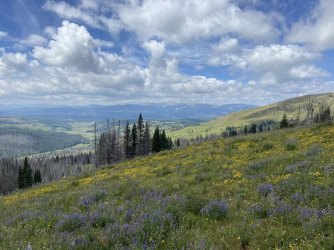
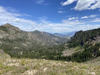
The scenery was fantastic in every direction as I made the climb up toward the pass, the view down into the Gallatin River valley was particularly enjoyable. My pack weight was feeling pretty heavy, it had been a while since I'd done a trip this long, and I was questioning a few luxury items I'd brought along. There wasn't much use in overthinking that now, I'd have to tough it out, and in a few days I would eat enough that I knew I'd be more comfortable. Around 2:30 I made it up to fawn pass, found a nice little plank of wood on the hill over looking the lake, and enjoyed a nice long lunch break. Coming down the pass the views of the mountains were absolutely terrific, and throughout most of the day, I'd stopped to take photos & videos way more often than I should have. But in the middle of August the daylight hours are long, so why not take advantage?
Around 4:30 I checked my GPS in relation to where I needed to make it to camp, and realized I was a good hour and a half behind where I'd hoped to be. Time to put the camera away, keep my head down, and make up some distance. The further I came down from the eastern side of the pass, the more I noticed no signs of the trail having seen any recent use. Not a single horse track or boot print for miles actually, just plenty of elk tracks. Scanning the terrain throughout the afternoon, it also looked and felt like grizzly country. That should've been a strong indicator on what was to come.
Just before 5:30, I was right around 10 miles in, pretty exhausted & ready to finish up those last 2-3 miles to camp. I stopped at a little bend along Fawn Creek to catch my breath as I'd been bouncing along downhill for the past half hour pretty much non-stop, trying to remember to clank my poles or yell out every few minutes, but starting to slack off as the day had gone on. There was about a 6-8ft drop off down to the creek, I looked down in there to see if I could spot any fish swimming around, glanced in either direction noticing the super thick vegetation all around the creek and thinking to myself that I needed to be making a little more noise.
No sooner than that thought went through my head, I heard and saw the bushes to my left shaking violently, maybe 20 ft away. Before I could process what was going on, a grizzly came barreling out of the bushes and ran right past me. After a second of being frozen in shock, I reached for my bear spray on my hip belt, had it in hand, and before I could get the safety off he turned around and charged right toward me. Trying my best to keep my wits about me, I realized he was so close that this was about to end badly. For a split second, I just tried to brace for impact, when he came to a dead stop, about 6 ft away from me. I felt the ground shake, saw his eyes and mouth distinctly, noticed the water flying off his feet, and practically felt the air move as he huffed a few times and then cut around behind a small group of trees. By this time I had the safety off my bear spray pointed right in his direction, I saw him barely poke his head around between the branches, now maybe 15 ft from me, and thought to myself "if he takes one more stop out of there toward me, it's time to spray him and hike the hell out of here" He looked my way, and then ran the opposite direction. That 10 second encounter felt like it lasted a lifetime. I would say he was a fairly large sub-adult.
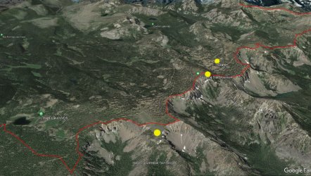
I sort of walked sideways as I crossed the little side creek that was right there, trying to keep an eye out in his general direction, wanting to move away but not turn my back entirely just yet. I got about 1/4 mile up the trail before finally breathing a sigh of relief, I got my GPS out and dropped a pin close to where I'd seen him. I pretty much booked it straight down to my campsite after that, making more noise and being mindful of my surroundings as best I could, bear spray in one hand, trekking poles in the other. It was around 7pm when I finally made it to my campsite along the Gardner River.
Campsite 1G2 sits down at a really pleasant bend in the river, large & flat site with lots of impressive old growth trees around. They create a nice canopy that the surrounding area doesn't have very much of. I retired for the night around 9:30 and started hearing light rain drops about half an hour later, I quickly pulled what gear I had nearby under the vestibule of my tent, realizing I'd forgotten about by shoes and left them by the food pole. They were already soaked from the last few creek crossings after the bear incident, so I decided they'd just have to survive the night on their own. Then there was about 3 hours of pretty intense rain, thunder & lightning. I was able to doze off through a lot of it, but it certainly wasn't the night of sleep I'd hoped for after covering 12.5 miles & 2200' climb.
Day 3: Aug 10
I woke up around 6am and peered outside to see everything still dark & wet, it had been another unusually cold August after the rain let up. Around 7 I finally started to see hints of sunlight and forced myself up to make coffee and breakfast. The campsite was in a hole with little sunlight, and I now had soaking wet shoes & both pair of my socks were wet as well. I did my best throughout the morning to find where the sunlight was peaking in, to dry up my gear as best I could. I managed to get the tent mostly dried out, but my wet footwear would just have to be worn dry throughout the day.
I left camp around 10am, having to hike a couple of miles east toward Mammoth before heading northwest to my campsite at Sportsman Lake. The day started out easily enough as I headed toward Glen Creek I found myself up on a knob looking out toward Swan Lake and Bunsen Peak. I couldn't help but think about what it was like being up there years ago, if I'd only known how much trouble that view looking down would eventually get me into. I wasn't feeling great physically that morning, which worsened slightly throughout the day.
The climb up to Electric Pass was beautiful the whole way, but I was still fighting with my pack weight & was completely zapped energy wise by the time I made it up there around 7pm. Coming down the other side was just as tough, as it's a borderline sketchy descent in a few places. I did my best to stay motivated by the beautiful sights all around, but I was beyond beat. Having two 12-13 mile days back to back like that was pretty ambitious if I'm being honest, but it was the only way to make the permit work and I knew there were shorter & easier days the rest of the trip.
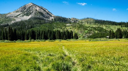
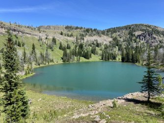
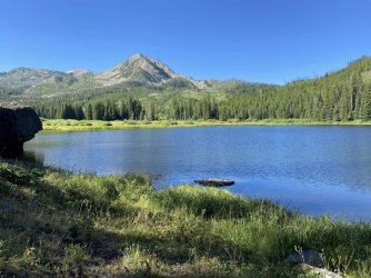
Just before 9pm I finally made it into meadow by Sportsman Lake. It really was a beautiful place, not only ready to be at camp after a long day but the lake and meadow almost feel like they're down in an amphitheater surrounded by mountains and trees. It's a very unique spot, and I'm still kicking myself for not getting an earlier start that day so I could enjoy it more. I hung my food as soon as I found the pole, then grabbed my headlamp to find the best place to access water on the marshy lake shore. It was almost completely dark by the time I finally had dinner and set my tent up. At 13.5 miles and 3,100' of elevation, it was my longest toughest day of the trip. I was glad to have it behind me.
Day 4: Aug 11
I slept like a log, and didn't event attempt to get out of my tent until 7:30. The scene all around camp was gorgeous and I happily took my sweet time enjoying coffee & breakfast. WD3 sits up just a little higher than the meadow and is covered in trees, with some unique boulders sitting all around. As the sun started to come out more I made time to get some photos of the lake and meadow before I started packing up. Three days of hiking in wet feet had given me a couple of blisters that had to be treated. I also started questioning the shoes I was wearing, it was the 2nd identical pair that I'd owned and I remember the first ones drying out so much faster anytime they'd gotten wet. I couldn't help but wonder if I'd gotten the non-ventilated ones rather than the 'vent' model I'd ordered? That'll teach me to order from an online discount seller to save a few $ I suppose.
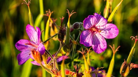
I started my hike out around 11am, excited to have a shorter and easier day, with my pack finally starting to feel a little lighter. I took my time hiking through the meadow and enjoying the 360 views before I started my climb up toward High Lake. The most shocking thing about this day would be the wolf tracks. At first I saw a few very faint ones in the dry dirt, but it didn't take long before I spotted some very distinct & fresh ones in the mud. They were all facing the opposite direction from the way I was moving, so no hopes of seeing them. I eventually ran into 3 ladies who were headed toward Sportsman Lake, also following the tracks in their direction, asked if I'd been lucky enough to see one. The hike was mostly in the trees, crossing the occasional small meadow, and scattered wildflowers.
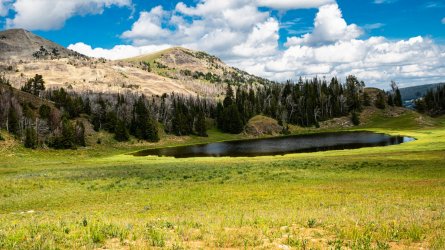
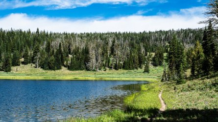
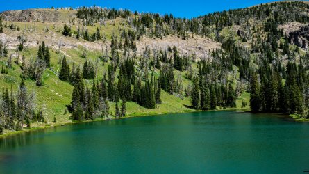
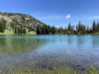
I made it to High Lake around 5pm, a very nice quintessential YNP lake with a grass shoreline all around. I had plenty of time to take a quick dip in the lake, lounge in my hammock, and enjoy a cigar before dinner. The partly cloudy sky made for a fantastic sunset over the lake. It was a pretty warm night compared to the rest of the trip, which I was thankful for. I was beginning to have an issue with my sleeping pad deflating throughout the night. At first I thought maybe it was just warm air contracting as it got colder, but eventually I realized I had a slow leak, most likely too small to find or repair until the trip was through. Day 4 was around 8 miles and 1,900' of elevation gain.
Day 5: Aug 12
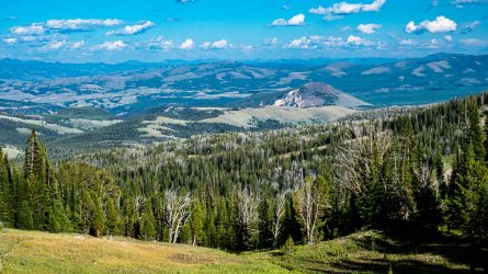
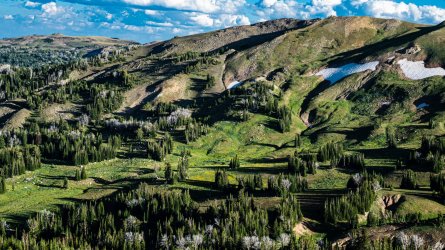
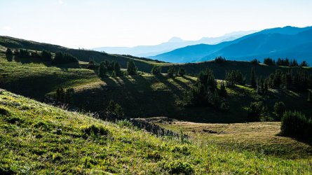
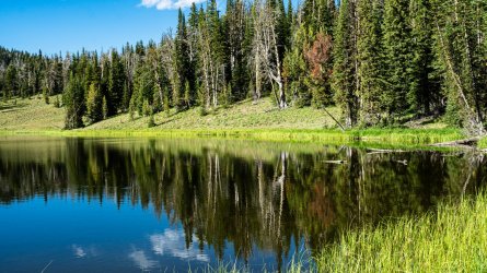
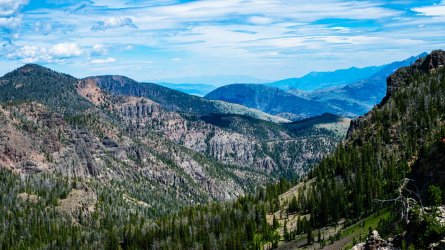
This would end up being my favorite day of the trip. I woke up to the refreshingly chilly mountain air around 6:30, and couldn't help but admire the reflection on the calm quiet lake. Being my shortest day of the trip, I took my sweet time having breakfast & packing up, eventually hiking out around 10:30. I found myself in a series of small but pleasant meadows before making the small climb up to the ridge line where the trail skirts the park border. The views looking north and south were absolutely fantastic, I spent a little time getting off trail to find a few spots to just stop and soak it all in. There was one little area looking down toward Cinnabar Basin, where I got just enough cell signal to check in with Amber to let her know I was doing ok and that I'd plan to hike out a day early to meet her in Cooke City that evening. I didn't mention the bear encounter as I didn't want her to worry over the next few days when I wouldn't have service.
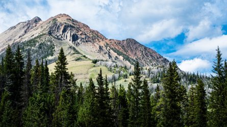
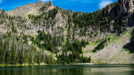
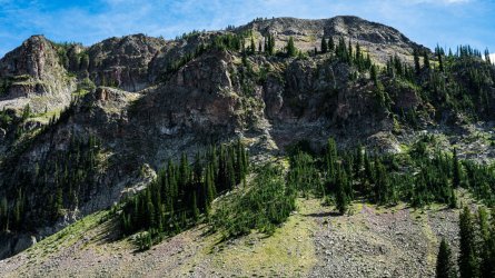
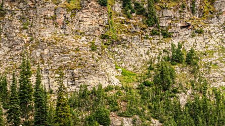
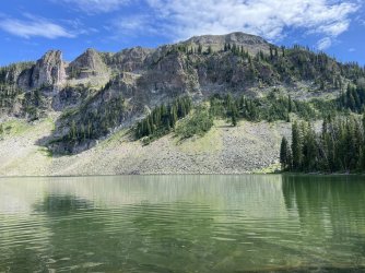
After a nice lunch sitting on a rock shelf looking southwest into the mountains, I started the drop down toward Crescent Lake and arrived there around 3pm. In addition to the fantastic views along the ridge line that afternoon, the beauty of the lake was one of the most enjoyable surprises of the whole trip. The northern shore along the trail is mostly wooded, with a few small access areas, with a gorgeous cliff face coming right out of the southern end of the lake. The food prep area is right off the trail down by the lake, with plenty of nice tent spots in the woods on the opposite side of the trail. There's not really tons of privacy with both sides being so close to the trail, but I didn't see another person out there and don't imagine it's ever a highly trafficked area.
After setting up camp I collected some firewood for later, hung up my hammock, got in the lake for a minute, and had a nice afternoon of lounging & walking around admiring the view of the lake. I had dinner around 7, while I was eating I heard some rocks falling down into the lake, and noticed a couple of mountain goats wandering around. I didn't bring binoculars or a longer range lens on this trip, but I still managed to find a comfortable spot to sit by the waters edge, and set up my tripod watching them and attempting to get a few photos. Around 8:45 I got the campfire started and went to bed about 10:30. It was a 4.5 mile day with around 900' of uphill and 1,100' of downhill.
Day 6: Aug 13
I was initially scheduled to hike over to WE4 on Specimen Creek that day, but made a last minute change to WE7 at Shelf Lake. I waited for the sun to come out so I could enjoy one last look at Crescent Lake and started my hike out around 10 am. There wasn't much in terms of views for the day, I was in the woods on a very steep descent to the trail junction and then climbing even steeper on the mostly wooded trail up to Shelf Lake.
I made it up the the lake around 1pm, seeing that it was every bit as beautiful as I'd hoped. I found the food pole area, which had a nice log to sit down on, and lunch there. It was pretty cold and windy for that time of day and being in direct sunlight. I spent about an hour walking down to the lake shore and scouting out tent sites, realizing I wasn't having much luck finding a spot that looked flat enough to sleep comfortably on. I went back to the food pole, looked at the time, and started looking at the map ready to make a decision. I could finish setting up, and go explore a few miles of the sky rim trail right above the lake, or I could possibly hike out that day. It was 8 miles of constant downhill to the trailhead, then I'd have to deal with getting back to my car. Having covered around 50 miles on this trip thus far, I wasn't loving the camping area up there, and felt like I'd seen most of what I hoped to on the trip. I rarely end a hike in Yellowstone a day early, let alone 2, but I had plenty of daylight left and the thought of having two free days to roam around the area was tough to pass up.
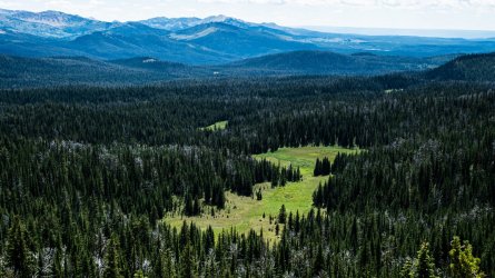
I sat there looking down at the lake for a few more minutes, ensuring that I had enough water & snacks, and began my hike out. The initial downhilll to the trail junction was as tough on mu joints as I knew it would be going up. From there the hike along Specimen Creek was mainly a mixture of meadows through the valley, with a few sections of old fire burn. There wasn't much shade to be found, and I was walking straight toward the sun most of the afternoon. I stopped for a short break at campsite WE1 where I was supposed to spend the next night, that was around 5pm with 2 miles to go. I thought about staying there, but I felt it was still early enough that someone else may show up, in which case I'd have to hike out even later. Around 6pm I arrived at the trailhead and tried for about half an hour to thumb a ride with no luck. I started walking south along 191 at that point, hoping someone would pick me up, but thinking I could still cover the 6 miles of road walking to my car before dark if need be. I probably made it a mile before a truck heading north stopped and offered me a lift, which I was extremely thankful for. The gentleman mentioned that he'd been working as his brothers restaurant in West Yellowstone, Old Town Cafe, and that it'd be a good place to grab some dinner on my way out. I did just that, since I've yet to find a place I really love to eat in that area, realizing once I arrived that we ate breakfast there on another trip and had a good experience. I inhaled a burger, fries & cold beer before heading out.
I know a handful of dispersed sites or FCFS campgrounds around most of Yellowstone and GT, but not so much in that area. I tried for a minute to see if I could find a nearby campground open on the rec.gov app, but I couldn't figure out how to see the open spots for that date, so I decided I'd just head to Cooke City toward an area that we camp frequently. It'd be dark by the time I got there, but the drive through the park should be nice and I could spend the next day up around Beartooth Lake. Amber was supposed to be in the park hiking to Cascade Lake that night, as I got near the trailhead I thought I'd look to see if I could find their rental and leave a note. A few miles before getting there, I got signal and was surprised to see she was calling me. They'd gotten 15 minutes into their hike that afternoon and ran into a group of hikers & park ranger stating they'd seen a sow grizzly with cubs, strongly urging them to reconsider staying the night there. They were able to get a spot down at Flagg Ranch, so I told her to give me a few hours and I'd meet them there.
It was a little after 10 when I got there, trying to figure out where they were staying, and as luck would have it I saw Amber leaving the restaurant there being the only person walking with a head lamp. We headed to the little camper cabin they were staying in, had a few drinks around the campfire, with plenty to talk about from the past week. After telling them about my bear encounter, she insisted that I buy a satellite com device, to which I agreed. I've been meaning to for a year or two now, but have put it off due to it being another electronic device and subscription service to keep up with. I bought one a few days after we got back home, with time enough go learn it before my Thorofare trip coming up in a few weeks.
Will post photos in response.

