- Joined
- Aug 21, 2018
- Messages
- 747
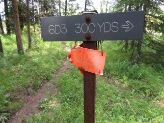
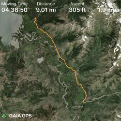
Day Two. I did not know what to expect to see on this day, but hoped our views would be a little less woodsy than yesterday. I did know the goal was to hike nine miles to campsite 6D2 located near Mountain Creek, almost the same distance as yesterday.
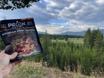
Before we left camp there would be breakfast. Sometimes a hot, hearty breakfast is nice, but I kept things cool and light on this trip with a lot of fruity granolas.
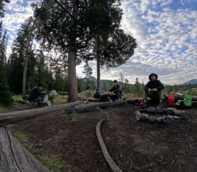
More often than not Bob and Scott would ignore my picture taking. Hugh is probably wondering if he needs to get more water.
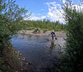
I believe that is Beaverdam Creek Scott is crossing in this picture. I could be wrong, but that is what my camera timeline suggests.
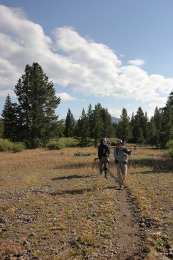
Back on the trail and heading South.
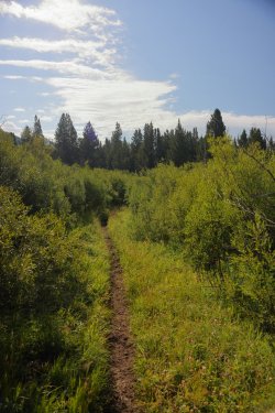
Instead of being tucked in the woods like yesterday we were immersed in willows during the morning. Somewhere along the trail I found a can of bear spray that the grabby willow branches likely plucked out of someone's holster/pack/pocket. It was unlikely anyone was coming back after it so I tucked it in my pack pocket. I'm supposed to be getting lighter, not heavier!
Looking West. Somewhere out there is the Yellowstone River.
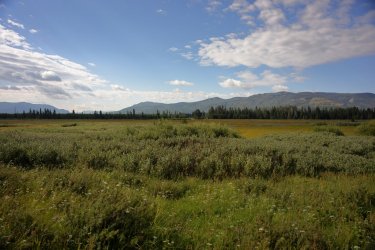
There continued to be an abundance of wildflowers along the trail. Mariposa Lilies were some of my favorites. While I did not take a picture of every one I saw, I took pictures of most of them.
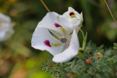
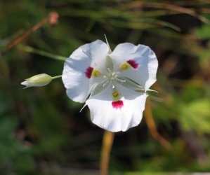
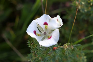
Less trees, more views.
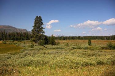
Making Progress. Where is campsite 6D2?
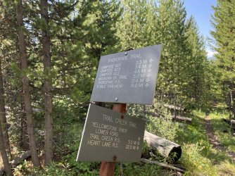
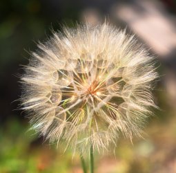
I was fascinated by these giant dandelion-like puffballs.
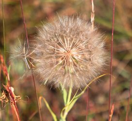
And just about any other wildflower for that matter.
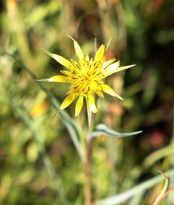
Maybe our first good look at the Yellowstone River.
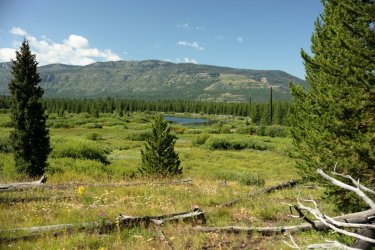
The views continued to impress me as we moved along. It was difficult to have a care in the world on a day like today.
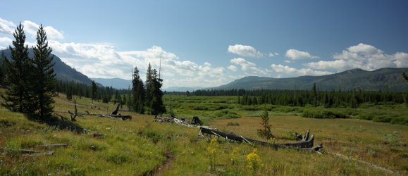
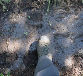
Unless you were scared of the bears.
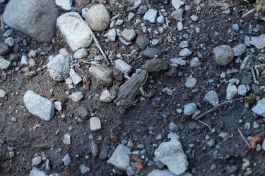
Or amphibians.
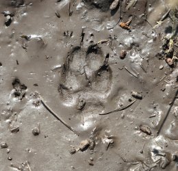
Or Canids. This track caught my interest because of the second, tiny track at it's upper left.
The Thorofare Trail eventually climbed up on a bench above the river. The high ground revealed that the water followed a double 90 degree bend.
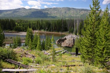
From now on, when someone says "Yellowstone River" this is the image that I will forever think of. I probably stood here for five minutes but could have easily popped out my camp chair (which I did not bring) and spent an afternoon gazing out at the trees, the water, the sky. . . it was amazing. That is one heck of a log pile!
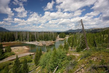
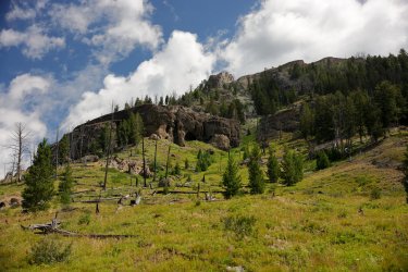
View looking the other direction (to the East). I wonder if anything lives in that cave.
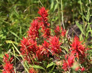
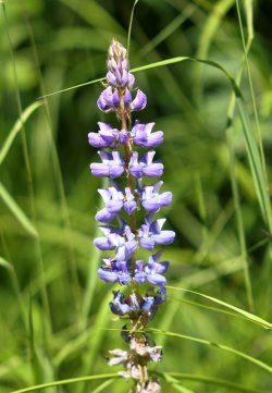
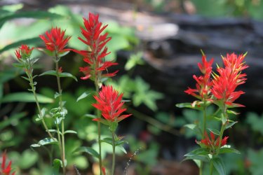
More Flowers. Paintbrush and Lupine are also favorites of mine.
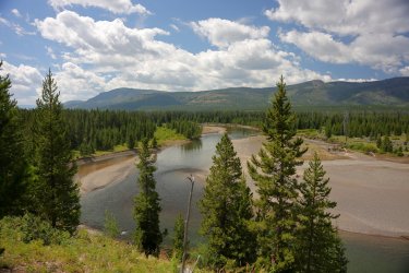
And more amazing river views.
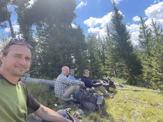
Sunscreen Break! Now everyone is ignoring me. From this side of the lens I look like an outcast in this picture. . . or I was just keeping my distance from Scott's socks.
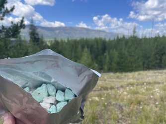
Thanks again Dr. Maya for the ice cream. Mint chocolate chip and strawberry were mixed in this pouch.
More paintbrush and more puffballs.
Not far from the upper ford spur trail the Thorofare Trail continued southeast while the Yellowstone River held a North/South course. Winding views of the waterway were missed but as a consolation we were treated to some scenic topography -- a prize I was not expecting but very happy to accept.
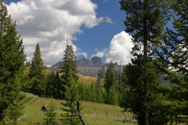
Turret and Table Mountain dominated the skyline as we crossed Trappers Creek.
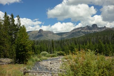
Crossing Trappers Creek involved some footwear swapping. That might be Colter Peak at the left. If I were Hugh, I'd want this picture on my refrigerator, even if he is rubbing his foot.
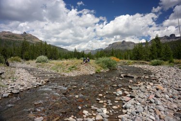
I should try taking some of these without looking at the phone/camera, but then I probably would have ended up with a picture of Bob's foot.
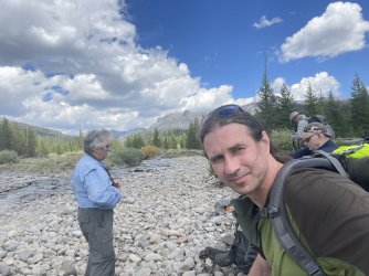
Just like the Yellowstone River Delta, the view of the mountains to our left kept changing as we kept walking. That should give you a hint that many pictures are coming of changing views.
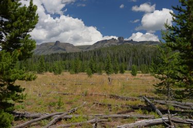
Looking back to the North.
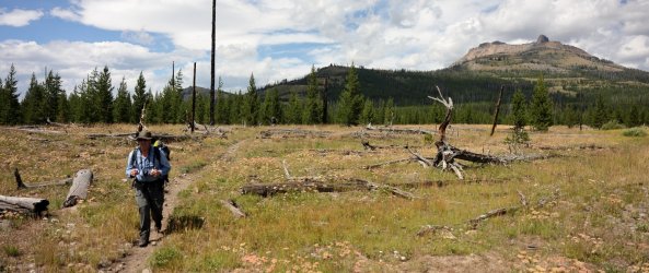
Table Mountain and Turret Mountain.
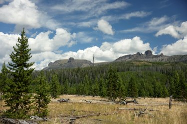
Scott is in there somewhere. See if you can find him.
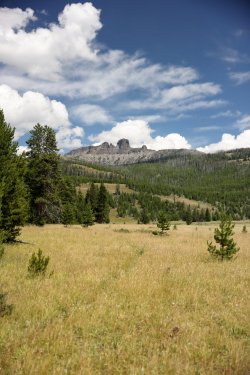
Some day I will piece all my video clips together so you can have the full effect, until then you will just have to imagine the willows at the bottom of this picture swooshing back and forth in the wind.
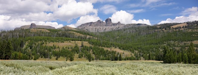
Looking South towards the Trident.
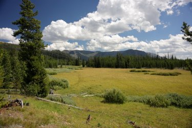
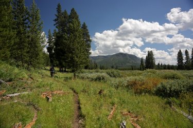
Getting close to 6D2!
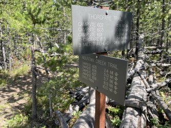
Not far from our campsite!
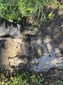
To reach campsite 6D2 a crossing of Mountain Creek is required. Hugh and I put on our water shoes.
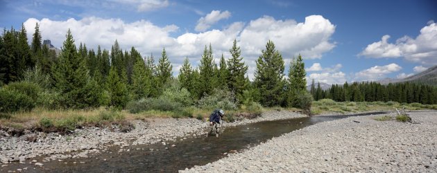
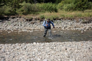
Bob chose to utilize the "run very fast" method across the water. I think Scott's feet were already wet so he took a similar approach.
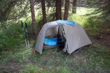
Home away from home for night number two. I know Hugh did not care for this campsite either. The tent sites were in an area covered with thick/heavy grasses.
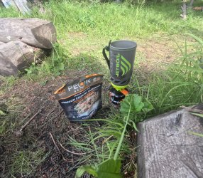
Suppers leaned heavily towards offerings from Peak Refuel.
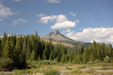
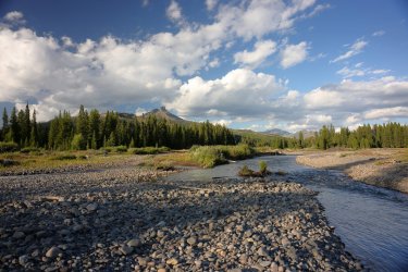
Campsite 6D2 may not have had the best tent sites, but the view from the cooking/eating area was worth the stay here.
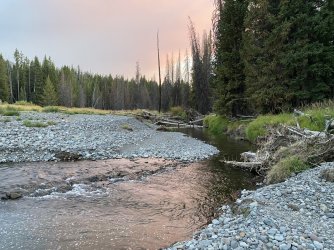
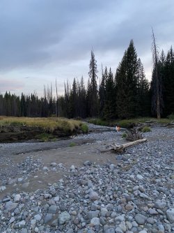
Throw in a little Mountain Creek. . .
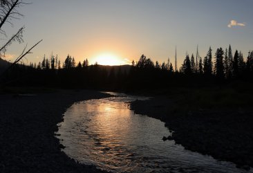
Sunset on another great day.
My legs still felt good after day two. In general, morale amongst the group was very good. I was feeling optimistic about things we'd see in the next couple days. . . especially tomorrow. You'll have to find out why in the next installment.
Here is our track from GAIA GPS:
Before we left camp there would be breakfast. Sometimes a hot, hearty breakfast is nice, but I kept things cool and light on this trip with a lot of fruity granolas.

More often than not Bob and Scott would ignore my picture taking. Hugh is probably wondering if he needs to get more water.

I believe that is Beaverdam Creek Scott is crossing in this picture. I could be wrong, but that is what my camera timeline suggests.

Back on the trail and heading South.

Instead of being tucked in the woods like yesterday we were immersed in willows during the morning. Somewhere along the trail I found a can of bear spray that the grabby willow branches likely plucked out of someone's holster/pack/pocket. It was unlikely anyone was coming back after it so I tucked it in my pack pocket. I'm supposed to be getting lighter, not heavier!

Looking West. Somewhere out there is the Yellowstone River.

There continued to be an abundance of wildflowers along the trail. Mariposa Lilies were some of my favorites. While I did not take a picture of every one I saw, I took pictures of most of them.


Less trees, more views.

Making Progress. Where is campsite 6D2?

I was fascinated by these giant dandelion-like puffballs.

And just about any other wildflower for that matter.

Maybe our first good look at the Yellowstone River.

The views continued to impress me as we moved along. It was difficult to have a care in the world on a day like today.

Unless you were scared of the bears.

Or amphibians.

Or Canids. This track caught my interest because of the second, tiny track at it's upper left.

The Thorofare Trail eventually climbed up on a bench above the river. The high ground revealed that the water followed a double 90 degree bend.

From now on, when someone says "Yellowstone River" this is the image that I will forever think of. I probably stood here for five minutes but could have easily popped out my camp chair (which I did not bring) and spent an afternoon gazing out at the trees, the water, the sky. . . it was amazing. That is one heck of a log pile!

View looking the other direction (to the East). I wonder if anything lives in that cave.

More Flowers. Paintbrush and Lupine are also favorites of mine.


And more amazing river views.

Sunscreen Break! Now everyone is ignoring me. From this side of the lens I look like an outcast in this picture. . . or I was just keeping my distance from Scott's socks.

Thanks again Dr. Maya for the ice cream. Mint chocolate chip and strawberry were mixed in this pouch.


More paintbrush and more puffballs.


Not far from the upper ford spur trail the Thorofare Trail continued southeast while the Yellowstone River held a North/South course. Winding views of the waterway were missed but as a consolation we were treated to some scenic topography -- a prize I was not expecting but very happy to accept.

Turret and Table Mountain dominated the skyline as we crossed Trappers Creek.

Crossing Trappers Creek involved some footwear swapping. That might be Colter Peak at the left. If I were Hugh, I'd want this picture on my refrigerator, even if he is rubbing his foot.

I should try taking some of these without looking at the phone/camera, but then I probably would have ended up with a picture of Bob's foot.

Just like the Yellowstone River Delta, the view of the mountains to our left kept changing as we kept walking. That should give you a hint that many pictures are coming of changing views.

Looking back to the North.

Table Mountain and Turret Mountain.

Scott is in there somewhere. See if you can find him.

Some day I will piece all my video clips together so you can have the full effect, until then you will just have to imagine the willows at the bottom of this picture swooshing back and forth in the wind.

Looking South towards the Trident.


Getting close to 6D2!

Not far from our campsite!

To reach campsite 6D2 a crossing of Mountain Creek is required. Hugh and I put on our water shoes.

Bob chose to utilize the "run very fast" method across the water. I think Scott's feet were already wet so he took a similar approach.

Home away from home for night number two. I know Hugh did not care for this campsite either. The tent sites were in an area covered with thick/heavy grasses.

Suppers leaned heavily towards offerings from Peak Refuel.

Campsite 6D2 may not have had the best tent sites, but the view from the cooking/eating area was worth the stay here.

Throw in a little Mountain Creek. . .

Sunset on another great day.

My legs still felt good after day two. In general, morale amongst the group was very good. I was feeling optimistic about things we'd see in the next couple days. . . especially tomorrow. You'll have to find out why in the next installment.
Here is our track from GAIA GPS:

Last edited:

