Yvonne
I lava it!!!
- Joined
- Jan 19, 2012
- Messages
- 4,179
I'm staying a few days in the Heber City/Midway area and want to do some x-country skiing. I wonder if there are any backcountry trails I can hit in the Uintas. How far can you usually drive in and are there any nordic trailheads?
I've done Sundance and White Pines Nordic Center, but want to add something else.
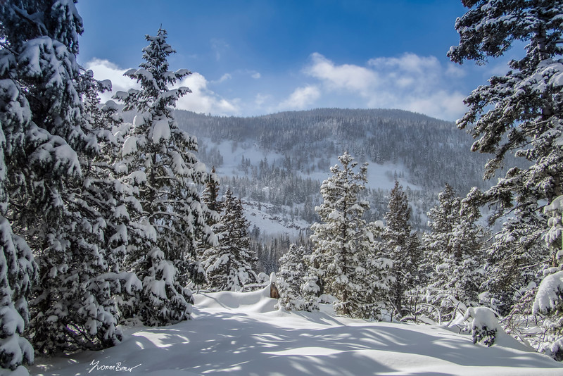
I guess the Uintas would be awesome this time of year.
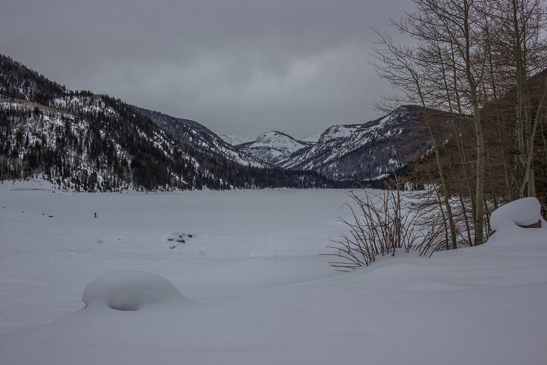
I definitely need to have an eye out for avalanche danger, but would something around the Shingle Creek area doable?
Any other good places for x-country skiing?
I've done Sundance and White Pines Nordic Center, but want to add something else.
I guess the Uintas would be awesome this time of year.
I definitely need to have an eye out for avalanche danger, but would something around the Shingle Creek area doable?
Any other good places for x-country skiing?
") Course you have to guard against venturing into avalanche terrain or getting lost then too.
Course you have to guard against venturing into avalanche terrain or getting lost then too.