- Joined
- Jul 23, 2013
- Messages
- 1,666
The Wind River High Route. Another big bucket list item gets checked off as @Blake Merrell and I set off to complete the biggest and most challenging trip to date for either of us...
This trip became another dream come true that started when Blake reached out and asked if I wanted to join up with him in a bid to complete a high route through the Wind River Mountains of Wyoming this past summer of 2021. In fact, any backpacking trip to The Winds, as these mountains are so often affectionately called, would have been a dream come true. Popular areas in the range like Titcomb Basin and the Cirque of the Towers among others loomed large on my list of places to see and visit for the same reasons so many others flock there. They just looked like beautiful places to be from all the pictures I'd seen of these areas. But also, ever since I had been a teenage scout and spent a week in back to back summers at the BSA's Camp New Fork at the shores of New Fork Lakes along the western edge of the Wind River range, I had longed to return there to do some backpacking and see more of the backcountry there than the little bit I was only able to experience from day-hiking with my dad up the New Fork trail for a couple of miles at the conclusion of one of those camps. However, due to distance and logistics, it's always been shelved. Why? Well, largely because Utah already has so much to offer that's of course closer to home, thus requiring less time to drive to, less gas to pay for and so on. There's been plenty on my wish list of places to see and hike to and through already closer to home here in Utah with plenty of favorites worth making return trips to that I hadn't taken or made the opportunity to go beyond Utah's borders for any backpacking trips. Until now.
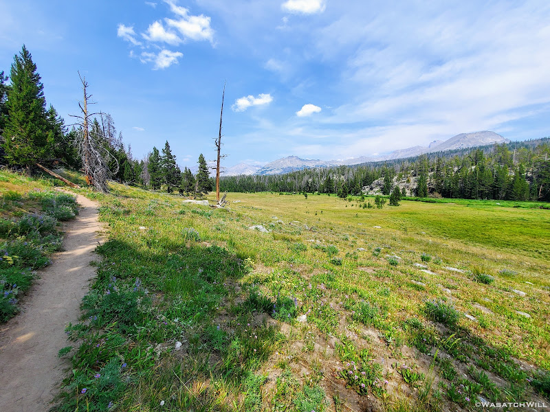
Now the first thing to know is for those who don't already know what a "high route" is. A high route can be defined as a route designed to offer any particular mountain range, watershed, canyon system, etc. the best possible backpacking experience. Of course, best here is subjective. In this case, best refers to being very remote with a lot of fun to be had, of the Type 2 variety that is. A high route is typically a very strenuous multi-day route ranging from dozens of miles to hundreds. When placed in a mountain range, it will typically traverse the range from one end to the other. It can feature as much as fifty percent or more of off-trail terrain to navigate and will stay at higher elevations more consistently, making use of numerous mountain passes as much as reasonably possible.
When it comes to Wyoming's Wind River Mountains, there is actually not a singular route though that would probably be argued by some. Instead, there exists two popular primary high routes for the Wind River Range. There is the one published by Alan Dixon, also known as Adventure Alan, after he and his friend, Don Wilson, hiked it in the summer of 2013. But then just two years later in 2015, endurance athlete and backcountry adventure guide Andrew Skurka expanded on it when he hiked another version he came up with that was even longer and more aggressive and strenuous. Thereafter, published a guide for that one on his own website.
Dixon's route runs 80 miles between the Green River Lakes Trailhead at the northern end of the range and the Big Sandy Trailhead at the southern end of the range. Skurka's route runs an additional 17 miles for a total of about 97 miles between the Torrey Creek/Trail Lake Trailhead at the northern end and the Bruce Bridge Trailhead at the southern end. Skurka's route features 3 prominent peaks to summit (Wind River Peak, Europe Peak, and Downs Mountain), two which stand over 13k feet and the other over 12k. Dixon's route does not target any peaks. Skurka's route climbs nearly 30k feet in total vertical gain (going northbound) and averages about 619 feet combined gain and loss per mile. Dixon's only climbs a little over 17k (when also going northbound) and averages about 535 feet in total vertical gain and loss per mile.
On account of offering the greater challenge with even more remote terrain, Skurka's route has seemingly become the more popular and sought after route for those attempting to do a high route tour of the Wind River Mountains. As such, one might argue that it is now definitively THE Wind River High Route. Yet, Blake and I still opted for Dixon's version. Why? Primarily for two reasons: We wanted to test our skills and endurance on the less aggressive Dixon route to gauge our abilities for a potential attempt of the Skurka route at a future time. And because we were more confident in our ability to complete the Dixon route in the allotted week we had taken time off of work to complete it in.
One must remember that due to the nature and characteristics of high routes, it takes a lot more time and effort to hike many of the miles, making the average mileage each day shorter than what can be done on more traditional routes and those that stick to well maintained trails. Either way, this was sure to be the longest, most challenging, and most strenuous trip to date for each of us. Prior to this, it had been most of the the Uinta Highline Trail for me as far as length and duration goes and the Beehive Traverse in Capitol Reef National Park for overall strenuousness and rugged terrain.
As with most routes of this nature, we had a choice in what direction we wanted to hike it. I think most who do it go southbound with it because that is how the guide goes. I think that's largely because it allows one to get the longest most monotonous part of the route out of the way at the beginning with its first 17 or so miles keeping you below treeline. With that comes much more gradual terrain to cover when your pack will be at its heaviest on account of having a week's worth of food or more. There is no high pass to gain in that stretch. This in turn allows your legs and lungs to have it a little easier in getting acclimated to what's to come if such is desired. Doing it this direction also saves the iconic Cirque of the Towers for the end, as sort of a grand finale to the route.
However, we chose not to do it the conventional way. Instead, we chose to do it northbound. This was largely because Blake had attempted it with another friend going south bound a prior time but they ended up cutting it short once they reached Titcomb and Indian Basins early on. His friend had apparently overestimated himself and his abilities but at least he had gotten to experience Titcomb and Indian Basins. This time, Blake wanted to be sure he got to see the Cirque of the Towers. It was a perfectly acceptable reason. And so I obliged.
Friday - July 23, 2021
Day 1: Big Sandy to Cirque of the Towers
MILES: 8 GAIN: 1930 ft
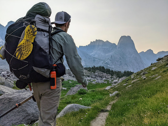
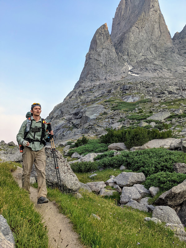
After making the long 5+ hour drive from our homes in Utah, we arrived at the Big Sandy Trailhead some time in the early afternoon of Friday. I knew this was a popular place, but with as many cars as there were, I felt like we were rolling into Disneyland. Much like the Highline Trailhead and Crystal Lake Trailheads can get over a summer's weekend along the Mirror Lake Highway in Utah's Uinta Mountains. However, this lot was even bigger, or so it felt, with even more cars. I'd say there was up to 300 cars or more crammed inside the lot and along the road into it. Somehow though, we got lucky with an open spot right on a corner as we entered the lot. Score!!!
We ate up what was left of our lunches we had picked up in Farson on the way in, gathered our loose odds and ends into our packs, and set off. At some point in the next week, the good folks at Pinedale's Great Outdoor Transportation Company would be picking up my car and driving it up to the Green River Lakes Trailhead to await our arrival. It's quite a cost for the shuttle service, but was well worth it to allow Blake and I to get back home to our families much sooner after what would be a week or more away from them.
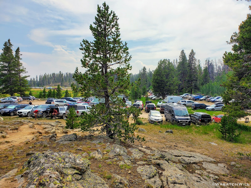
Big Sandy Trailhead
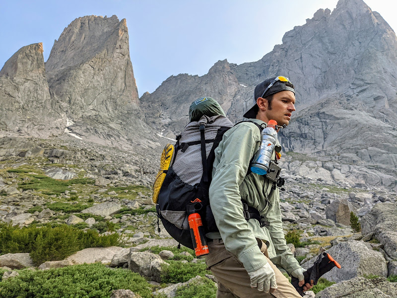
In the meantime...it was now trail time! Let's go!!!
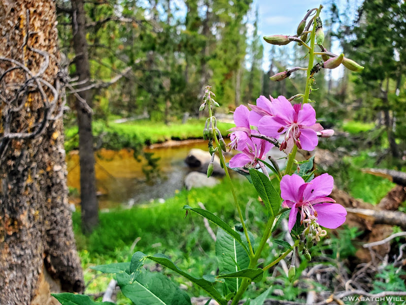
Fireweed along Big Sandy Trail
Less than a year earlier, back on Labor Day in September 2020, a severe wind event swept across the Wind River Range and tore it up good, causing all sorts of damage, falling hundreds of trees across the trails, especially along the western front. Since it was still somewhat early in the season for the Wind River high country, I was a bit concerned how the trails would be from this event and how far along trail crews would have been able to get in clearing the trails of all the downed trees.
Fortunately, we ended up having clear trails all the way through for our first day. With as popular as the Cirque of the Towers is, no doubt it was a top priority for the Forest Service. They must have made good time with that trail and we were grateful for that!
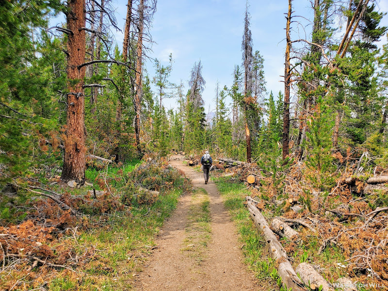
Deadfall litters the side of the trail
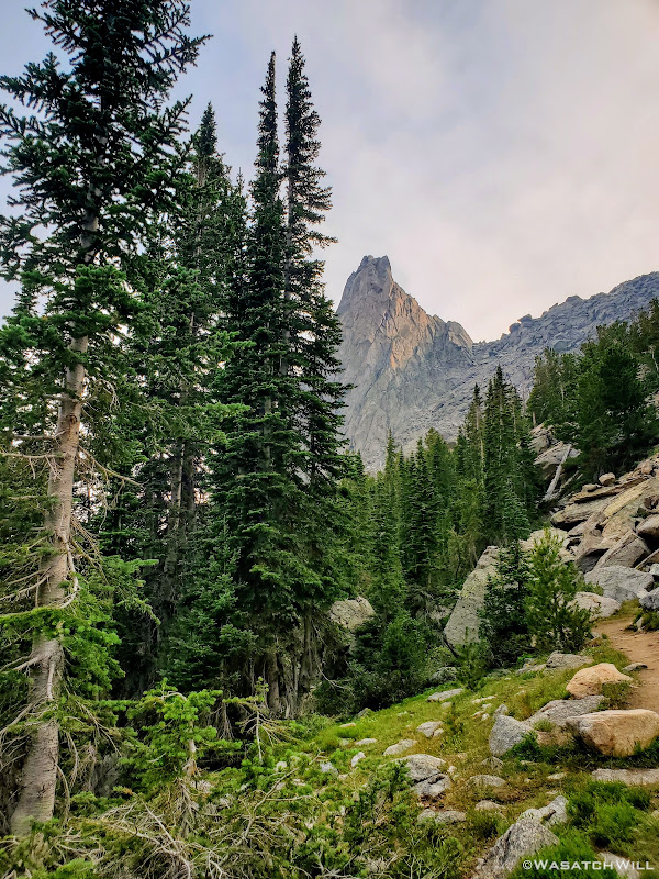
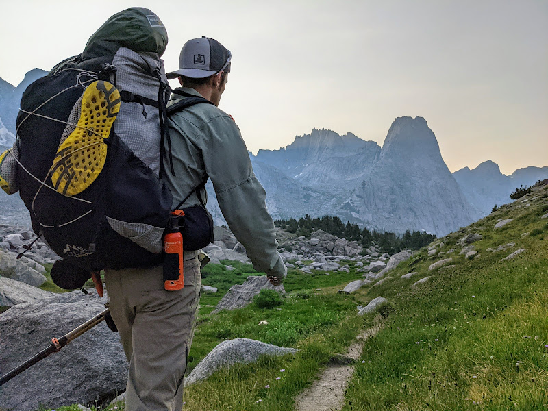
While the first five miles stayed mostly in the trees, there were occasional clearings offering up views eastward of Temple Peak and its surroundings.
A break from the trees, Temple Peak comes into view
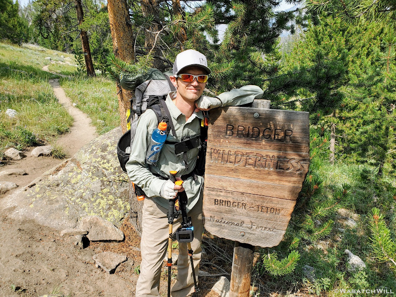
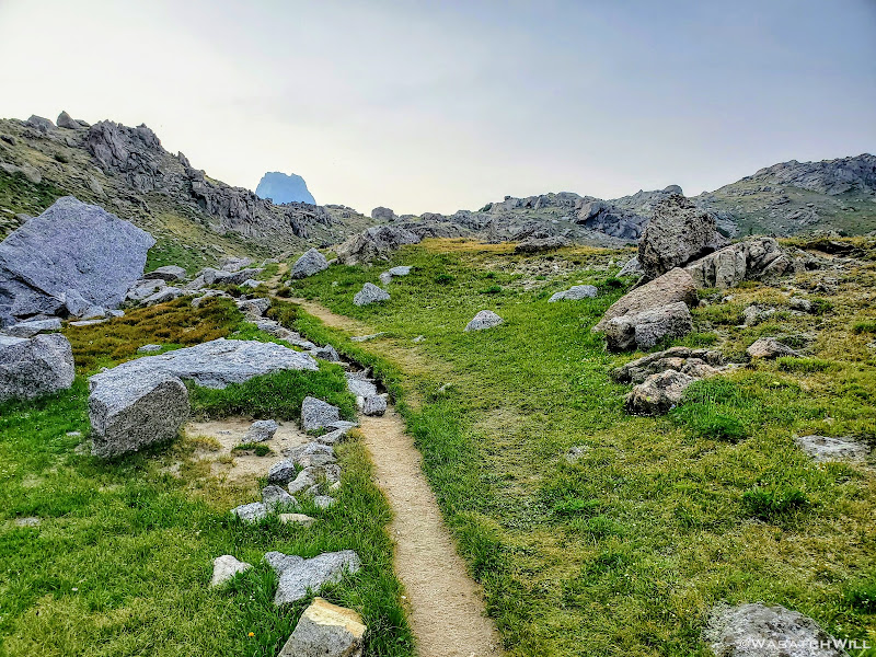
It only took a mile and a half to enter the designated wilderness area, the Bridger Wilderness, the borders of which we would not cross out of for another seven days.
Wonderful, wonderful wilderness!
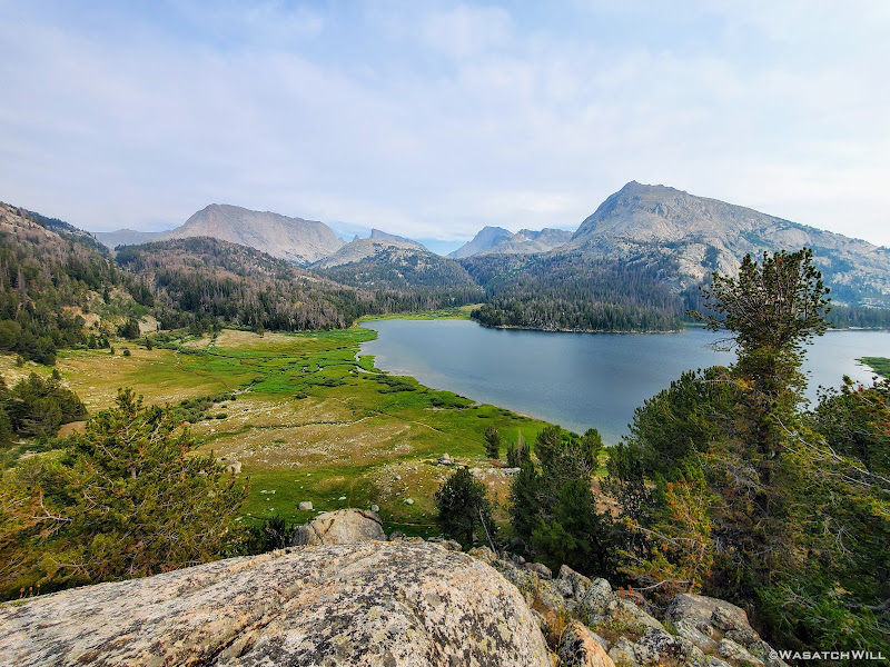
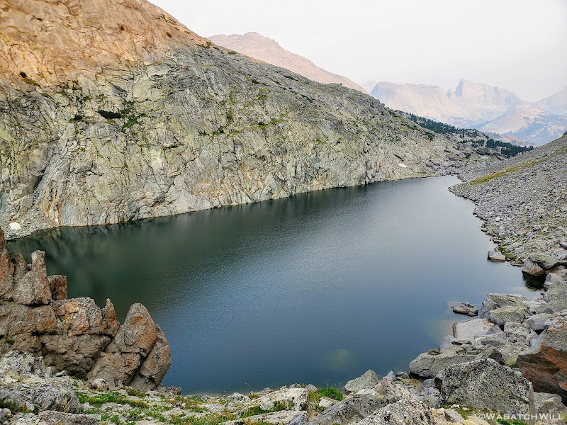
After those first five miles, we arrived at the shores of Big Sandy Lake. There were a few groups of campers around, but we simply used it for a break, enjoying views of Big Sandy Mountain across the lake.
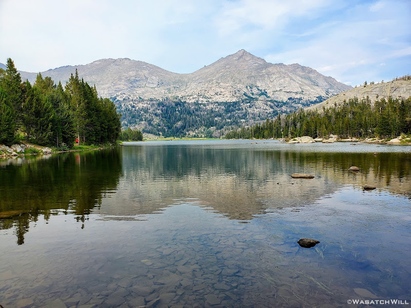
Big Sandy Lake and Big Sandy Mountain
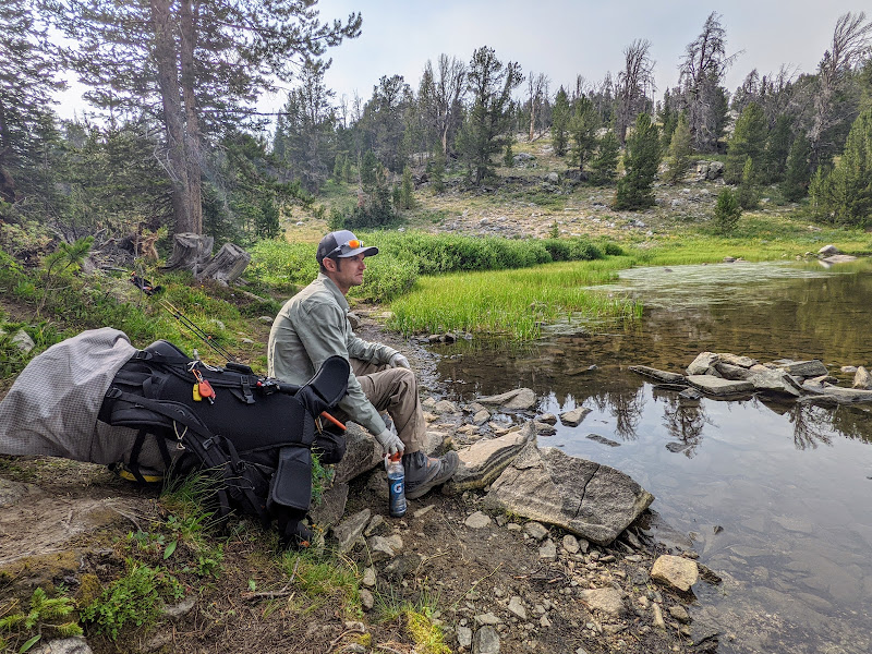
Myself, resting at the edge of Big Sandy Lake (photo by Blake)
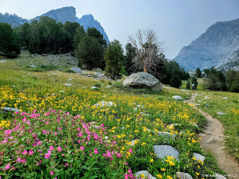
Rounding around the lake after our break, Haystack and East Temple Peak came into view as the trail passed through fields of flowers.
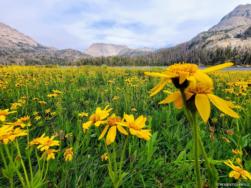
Haystack and East Temple beyond Arnica flowers and Big Sandy Lake
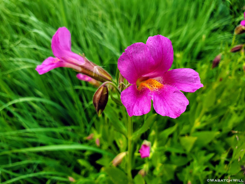
Lewis Monkeyflower (Mimulus Lewisii)
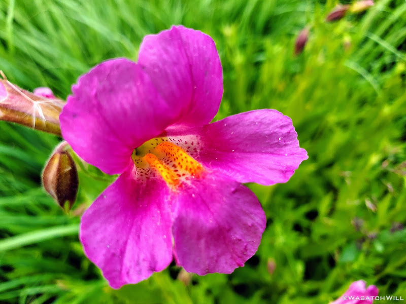
Close-up of Lewis Monkeyflower (Mimulus Lewisii)
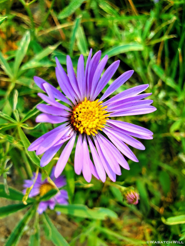
Purple Aster
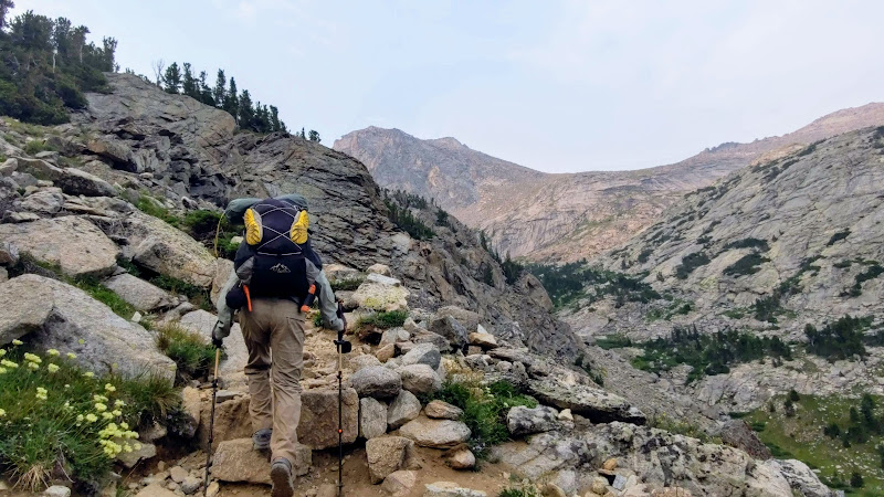
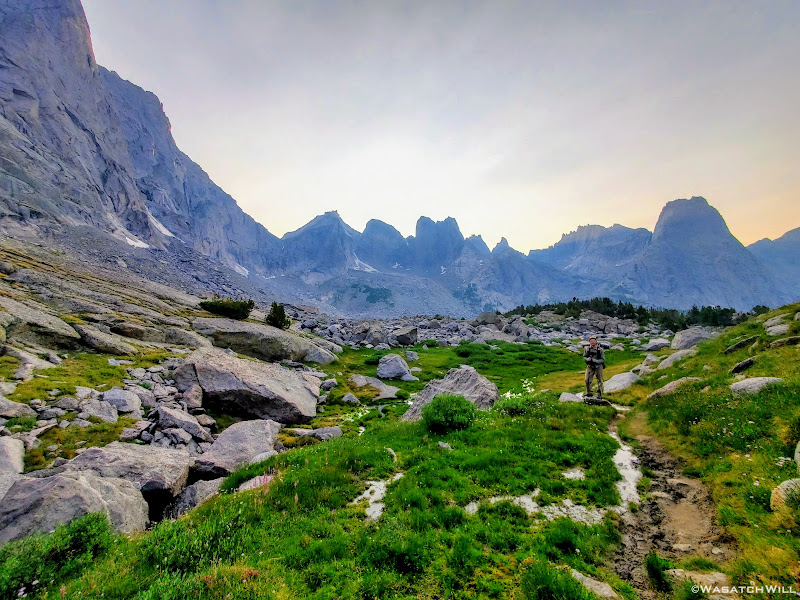
From Big Sandy Lake, we began to climb in elevation as we closed in on Jackass Pass.
View eastward above Big Sandy Lake with Haystack, East Temple, Temple, & Schliester Peaks.
After the initial rise from Big Sandy, we were treated to what felt like Easter in the mountains: another field of yellow arnica flowers, this time mixed with many more pinkish-purple Lewis Monkeyflowers.
Passing through a meadow full of flowers with Sundance Pinnacle & Warbonnet Peak above.
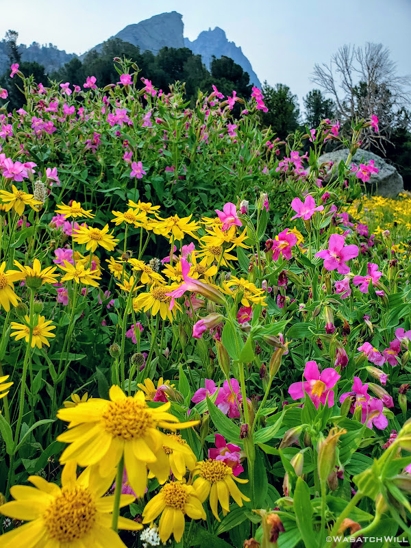
Arnicas and Monkeyflowers
Approaching North Lake, more flowers came into the mix: Fireweed, Columbines, and Paintbrush.
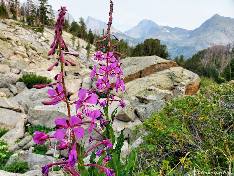
Fireweed
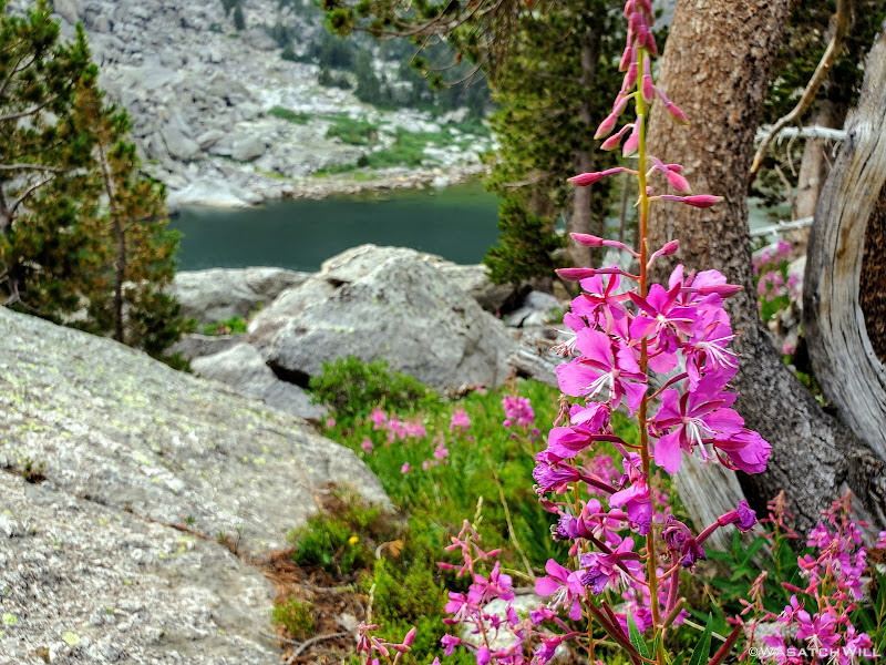
More Fireweed
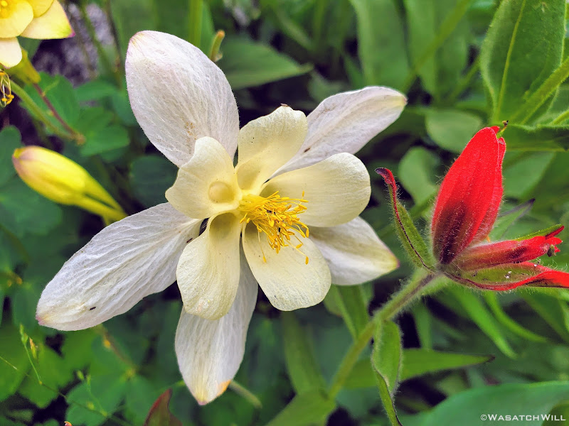
Columbine and Paintbrush
Initially I had forgotten all about North Lake for when it had come into view I had thought it was Arrowhead Lake.
"Wow! That came fast," I had thought to myself.
Nope. I was wrong. There would be yet another rise before we'd lay our eyes upon Arrowhead. In the meantime, we'd pause for a moment to take in the view of Warbonnet Peak rising above North Lake as the sun lowered itself behind.
Warbonnet Peak and North Lake
The sun descends behind Warbonnet Peak at North Lake
Sundance Pinnacle from a brief southward switchback of the trail
Gaining another rise toward Arrowhead Lake, Mitchell Peak beyond (photo by Blake)
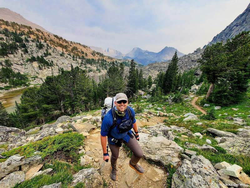
Blake shows off his excitement
Pingora Peak comes into view near Arrowhead Lake (photo by Blake)
Once we did reach Arrowhead Lake, for real this time, it was another sight to behold. Some of the mighty towers that give the Cirque of the Towers its name had now come into view just over Jackass Pass across the lake. Namely Pingora Peak and Wolf's Head.
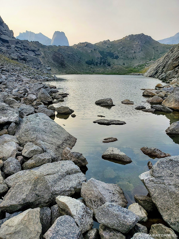
Arrowhead Lake with Jackass Pass, Pingora Peak & Wolf's Head beyond
Rather than stay on the main trail to the right to get over the pass, we had chosen what's known as the Climber's Route to the left. It turned out to be a great little warm-up run through some small rocks and much larger sized rocks, what will be referred through the rest of this series of reports as scree and talus respectively. We'd have much more of that to go through in coming days, especially as got into Alpine Lakes Basin.
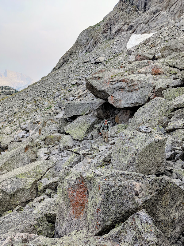
Trudging through the talus slope (photo by Blake)
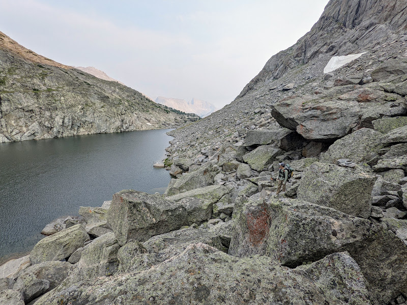
Looking out across Arrowhead Lake from within the talus (photo by Blake)
Blake pauses to survey the scene at Arrowhead Lake
The namesake for Arrowhead Lake now takes shape
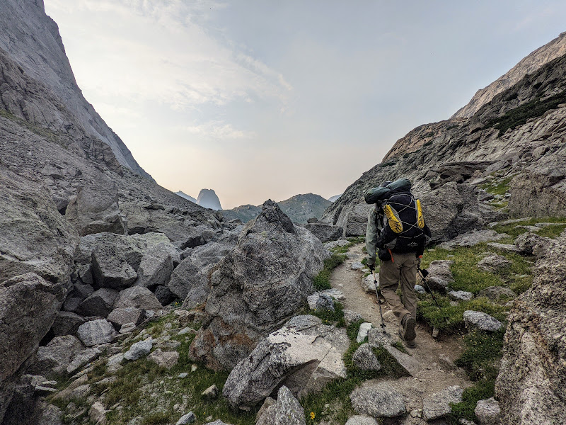
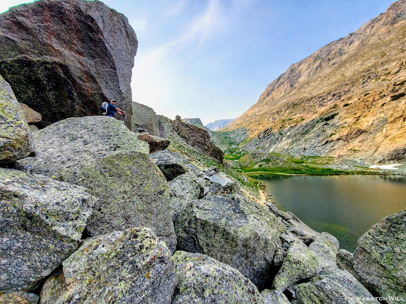
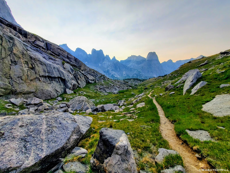
Once above and beyond Arrowhead Lake, we only had one last little rise to go to crest over Jackass Pass and descend down into the Cirque of the Towers. This little section gaining the rest of Jackass Pass reminded me of New Zealand a little bit.
The final rise over Jackass Pass
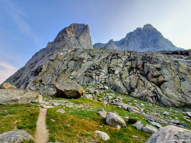
Once over the pass, more of the towers came into view. What a sight! The sun was now well down behind the mountains, perhaps set down all the way for good now. Smoky air, something that has become the norm out west now, added some effects to the view out ahead of us.
Wide eyed with awe and wonder, we descended.
The Cirque of the Towers from Jackass Pass
Looking back up at Warbonnet Peak
Myself, descending Jackass Pass with Warbonnet Peak above (photo by Blake)
Not miserable, just focused! (photo by Blake)
Onward into the Cirque (photo by Blake)
Smoky air adds to the mood of the scene
With it being a Friday night and the start of a weekend, I was concerned about how hard it could be to find a suitable camp spot given the crowds. It turned out that the Cirque is quite big, allowing enough room for the crowds to spread out. One thing to note here is that camping is prohibited within a quarter mile of Lonesome Lake.
After a little over eight miles we pulled over and had no trouble finding a nice and secluded spot to pitch our tents and call home for the night. There was just enough daylight left to do so and get dinner started.
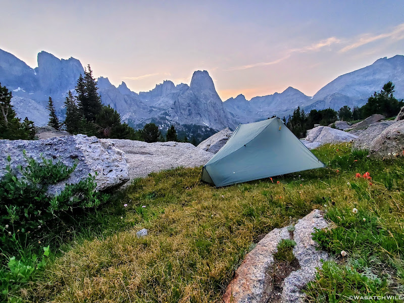
Cirque of the Towers Camp, Day 1
By the time we had finished dinner, the night sky was officially upon us. We hung our Ursacks nearby and retired to our tents for the evening. But not before snapping up a couple shots of camp aided by the light of the moon. It had been a good day.
Also....
Blake had successfully arrived in the Cirque of the Towers.
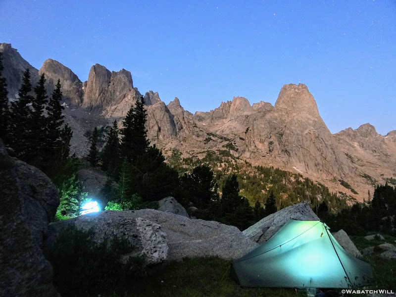
Moonlit towers
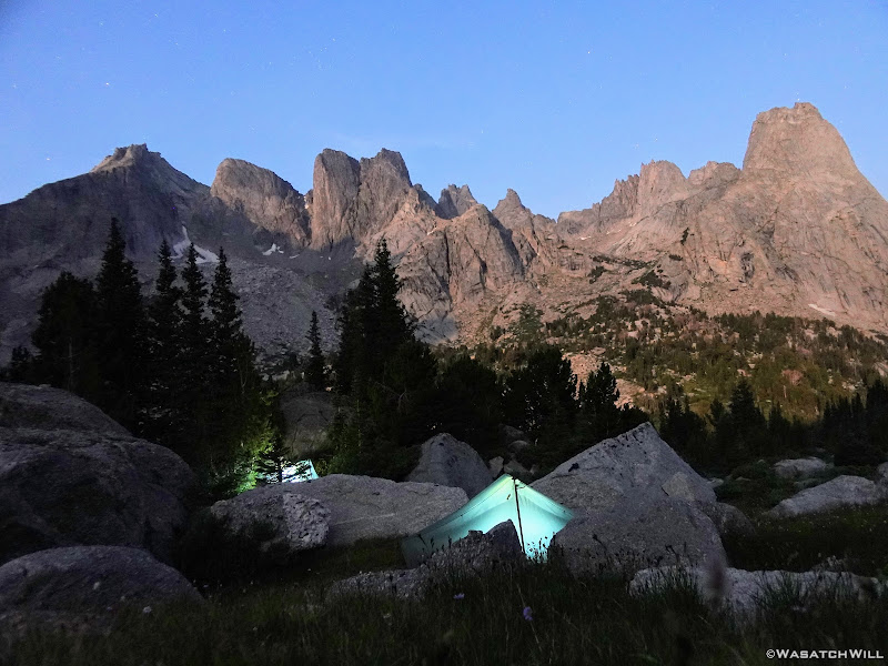
Another angle of our first camp at night
To be continued...
")