Ben
Member
- Joined
- Sep 12, 2014
- Messages
- 1,873
Mid september 2013 my brother and i did a hike in the Wind Rivers. This was our first time there. I rode from Boise to Pinedale on my motorcycle through some rain and ended up making it to Wyoming some time around midnight just about the coldest and wettest i've ever been. I got out my sleeping bag and waited for my brother to arrive from Provo. He some how took longer than me getting there. When he arrived i rode with him the rest of the way up to Elkhart Park and camped there.
We wanted to hike up near Gannet Peak, but we didn't end up making it that far. We got rained on heavy enough our first day that we had to set up camp just to stay dry enough after only a couple hours.
Here are some moose we saw near the trailhead. Two calves.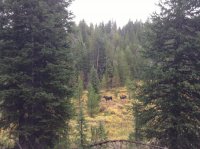
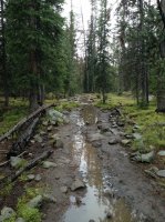
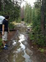
These were the general trail conditions starting out.
Junction.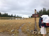
Very cloudy first day.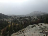
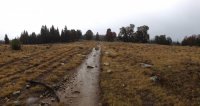
The stream running below there is actually the trail.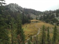
Hobbs Lake, i think, under the clouds. Not far beyond here we had to tent up to get out of the rain. Every thing was getting too wet. Fortunately the next day was clearer.

Drying out every thing we own the next morning.
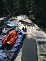
Waiting for every thing to dry.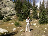
And then we got on our way. We didn't really have an itinerary after the previous day, we just hiked to see what was there. Some lake between Hobbs and Seneca.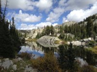
Making it to Seneca Lake was nice. There's some thing i like about an enormous lake that you can only get to by walking.

The trail wound along the west side.
At the upper end of Seneca the trail ascends a little. Past a small pond.
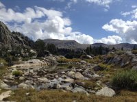
And then very shortly to Little Seneca Lake. There's also some thing i like about mountain lakes with islands.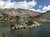
Beyond Little Seneca the views open up a little more. We passed a small lake near a junction with the trail going to Lester Pass.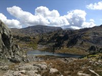
Clouds this day were nice for the most part, except blocking some distant views of the higher peaks. Trail leveled out here for a ways.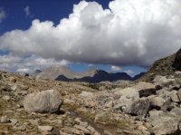
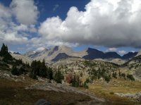
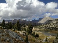
Plenty of unnamed lakes and ponds.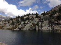
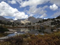
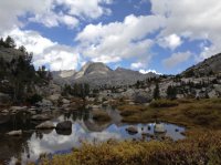
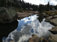
The trail goes up a little bit, and then back down a little bit to the crossing of Fremont Creek. Nice bridge. I think i've actually seen a picture where it used to have a second railing.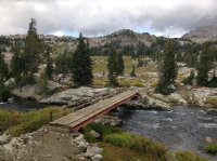
Spencer on the bridge.

Looking up Fremont Creek.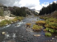
It was nice and open on the other side.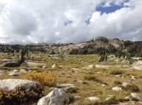
I like this rock.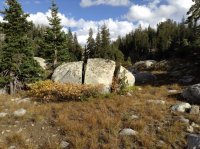
Beyond Fremont the trail ascends a little bit before leveling out again.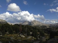
More lakes and ponds up here, especially with all the recent rain.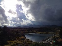
We found the dark clouds again. We never made it all the way to them though.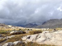
It was funny, the way ahead looked so dark and ominous, but turn your head, and back the way we'd came looked so light and inviting.
We went on a little farther.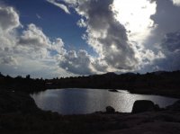
And Lower Jean Lake started to come into view. An other very long one.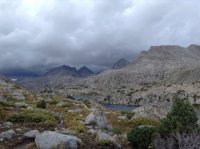
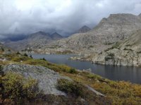
Good view of light side and the dark side.

Looking down Lower Jean from the end.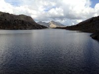
And looking at the dark peaks.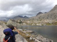
Here we decided we'd go ahead and turn back. We'd seen nearly enough, and we needed to make it possible to hike out and drive home the next day. I believe we were about 14 miles out from the trail head here. A last look back.
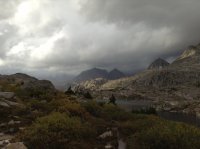
And we were back in the sun. Mostly.
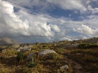
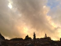
Clouds.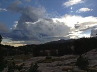
Sun.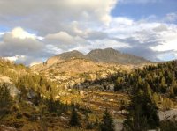
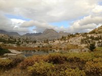
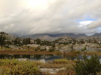
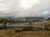
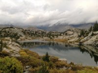
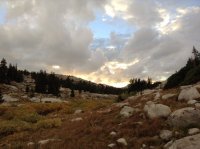
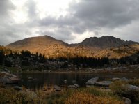
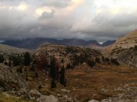
We ended up camping back at Little Seneca Lake.
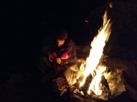
The next morning we just had to hike out. We passed the llama camp at the head of Seneca Lake. If you look closely you can see them, there were around five of them.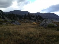
Farther along the trail had submerged under the rising water. I don't remember it being that way on the hike out.
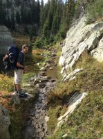
Hobbs Lake in the sun.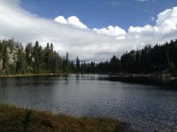
And a less than perfect view from photographers point on our way out. Much better than it would have been on our way in though.
Featured image for home page:
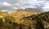
We wanted to hike up near Gannet Peak, but we didn't end up making it that far. We got rained on heavy enough our first day that we had to set up camp just to stay dry enough after only a couple hours.
Here are some moose we saw near the trailhead. Two calves.

These were the general trail conditions starting out.


Junction.

Very cloudy first day.

The stream running below there is actually the trail.

Hobbs Lake, i think, under the clouds. Not far beyond here we had to tent up to get out of the rain. Every thing was getting too wet. Fortunately the next day was clearer.

Drying out every thing we own the next morning.

Waiting for every thing to dry.

And then we got on our way. We didn't really have an itinerary after the previous day, we just hiked to see what was there. Some lake between Hobbs and Seneca.

Making it to Seneca Lake was nice. There's some thing i like about an enormous lake that you can only get to by walking.
The trail wound along the west side.

At the upper end of Seneca the trail ascends a little. Past a small pond.

And then very shortly to Little Seneca Lake. There's also some thing i like about mountain lakes with islands.

Beyond Little Seneca the views open up a little more. We passed a small lake near a junction with the trail going to Lester Pass.

Clouds this day were nice for the most part, except blocking some distant views of the higher peaks. Trail leveled out here for a ways.


Plenty of unnamed lakes and ponds.


The trail goes up a little bit, and then back down a little bit to the crossing of Fremont Creek. Nice bridge. I think i've actually seen a picture where it used to have a second railing.

Spencer on the bridge.
Looking up Fremont Creek.

It was nice and open on the other side.

I like this rock.

Beyond Fremont the trail ascends a little bit before leveling out again.

More lakes and ponds up here, especially with all the recent rain.

We found the dark clouds again. We never made it all the way to them though.

It was funny, the way ahead looked so dark and ominous, but turn your head, and back the way we'd came looked so light and inviting.

We went on a little farther.

And Lower Jean Lake started to come into view. An other very long one.


Good view of light side and the dark side.

Looking down Lower Jean from the end.

And looking at the dark peaks.

Here we decided we'd go ahead and turn back. We'd seen nearly enough, and we needed to make it possible to hike out and drive home the next day. I believe we were about 14 miles out from the trail head here. A last look back.

And we were back in the sun. Mostly.

Clouds.

Sun.


We ended up camping back at Little Seneca Lake.


The next morning we just had to hike out. We passed the llama camp at the head of Seneca Lake. If you look closely you can see them, there were around five of them.

Farther along the trail had submerged under the rising water. I don't remember it being that way on the hike out.

Hobbs Lake in the sun.

And a less than perfect view from photographers point on our way out. Much better than it would have been on our way in though.

Featured image for home page:

Last edited:
