- Joined
- Aug 9, 2007
- Messages
- 12,967
March 2007
This was a very short notice trip. I wasn't planning on getting out to the desert until May but it was spring break from school and the weather was just too good to ignore. This trip would become Audra's first ever backpacking trip so we decided we would do a day hike on the first day and then a one night backpack the next two days.
The plan was to day hike Willow Gulch to Broken Bow Arch and then backpack into 50-Mile Creek. We stopped at Devil's Garden on the way down Hole-in-the-Rock Road.
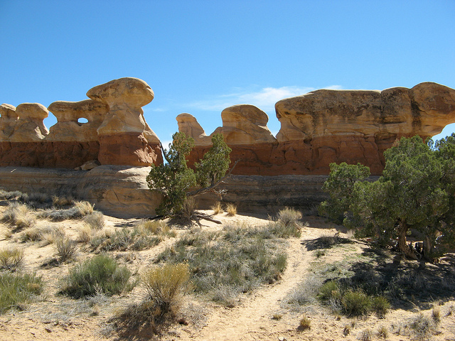
Metate Arch
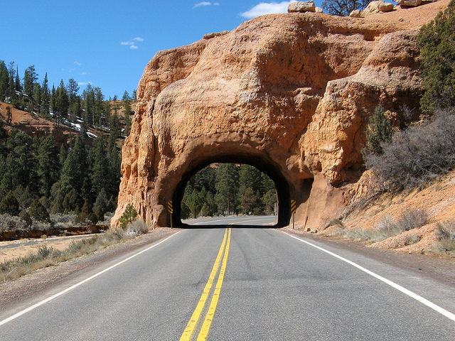
Back down Hole-in-the-Rock Road
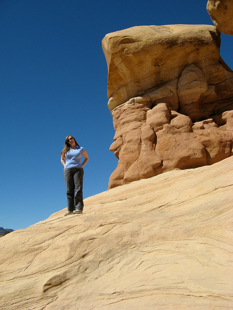
Dance Hall Rock
After many hours of driving we found our way to the Willow Gulch trailhead and were on our way down the trail.
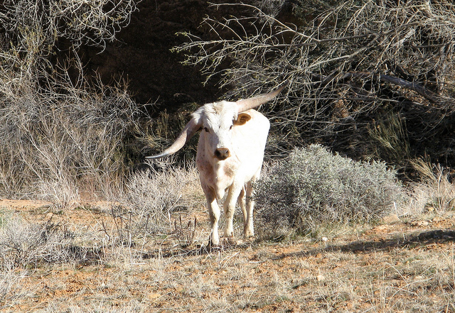
We were about a mile in when we ran into this guy. I wasn't quite sure what to do when I saw him. I've thought about running into bears, moose, snakes, you name it. I never really thought I'd run into a psychotic, lop-sided bull.
There was no way around him so we picked up some big rocks and stayed as far as we could. He kept pointing at us the whole time. A few grunts and then a big pile of crap. Discovery channel stuff I tell you. Anyway, he let us through after a few minutes.
Lower Willow Gulch
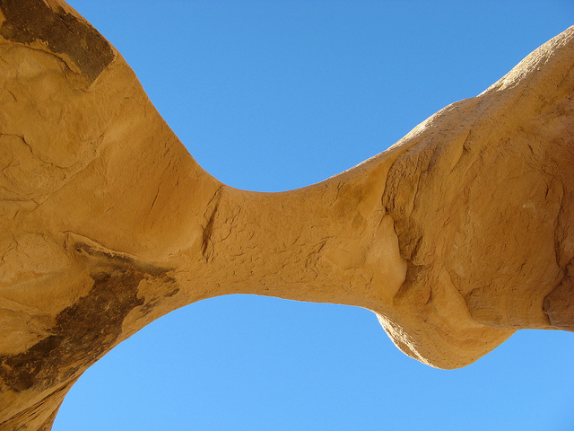
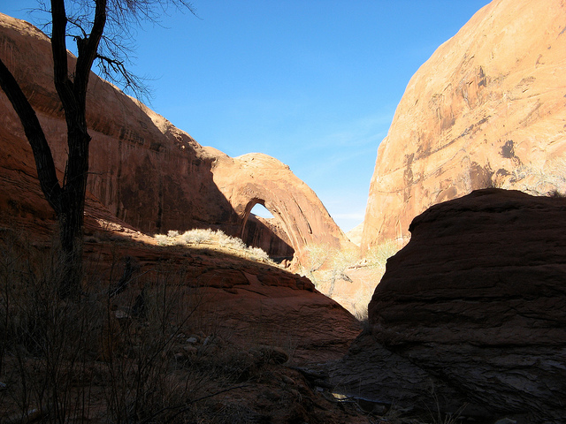
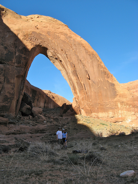
Our first view of Broken Bow Arch
We ran into a couple of other hikers who offered to take a picture for us. The arch itself is huge. The opening is estimated at 94' wide and 100' tall making it one of the largest natural arches in the world.
Here's a short video clip of Broken Bow Arch
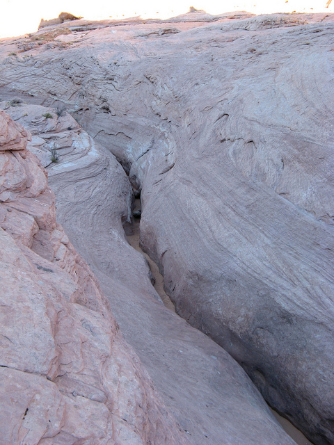
Some narrows on the way back to the trailhead.
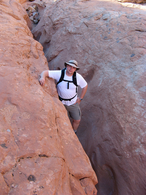
Selfie
The view upstream from where the trail leaves Willow Gulch
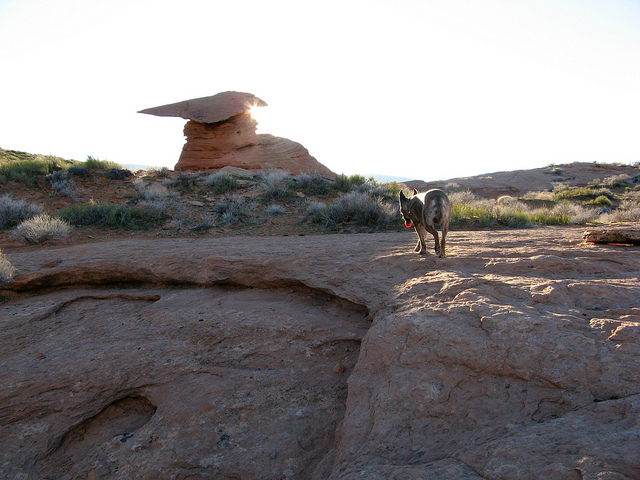
The sun setting behind Mortar Board Rock
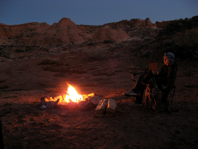
What's missing in this picture?

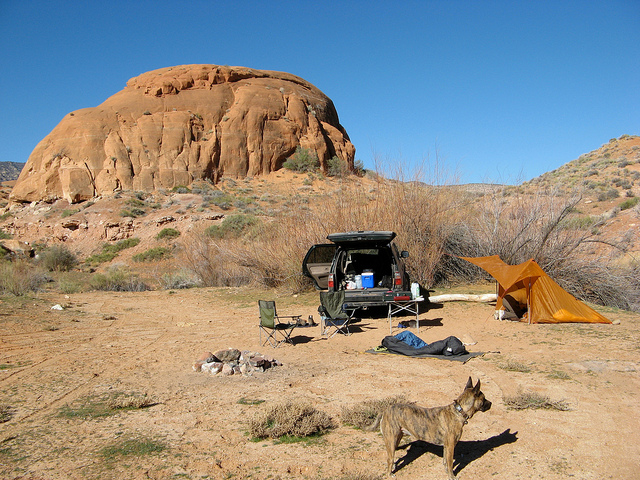
Sooner Rocks made a fine place to car camp. This is about 38 miles down Hole-in-the-Rock Road.
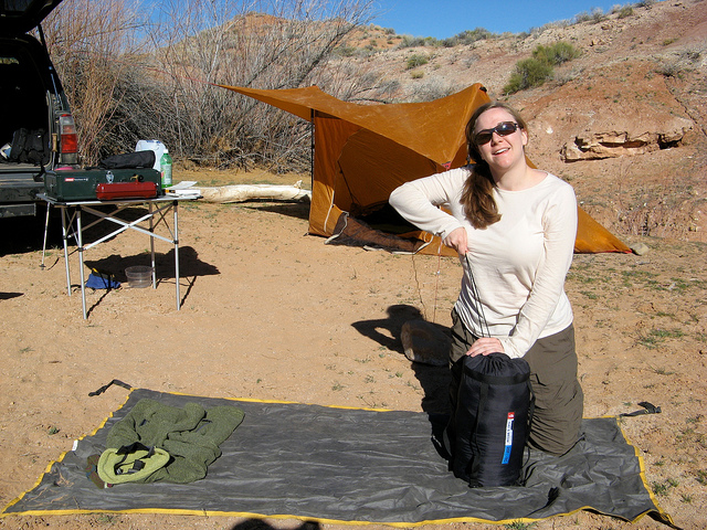
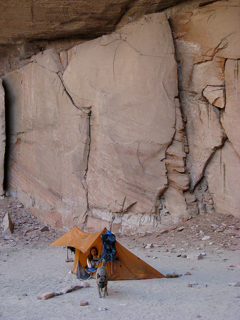
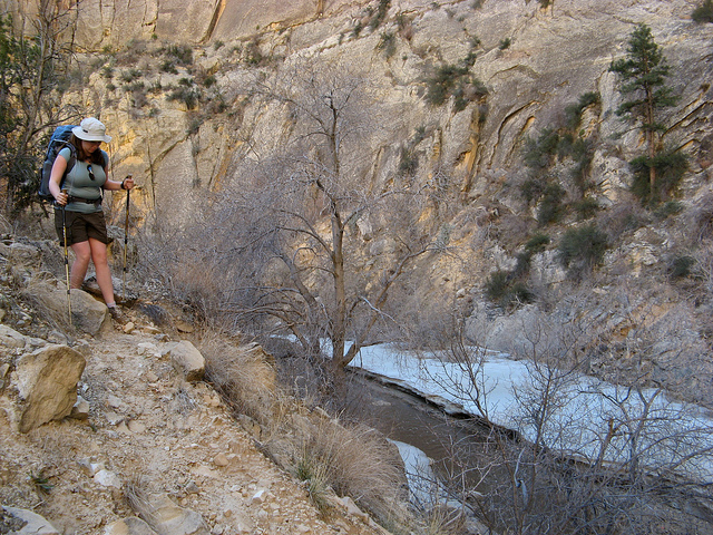
Audra packing up for her first official backpacking trip.
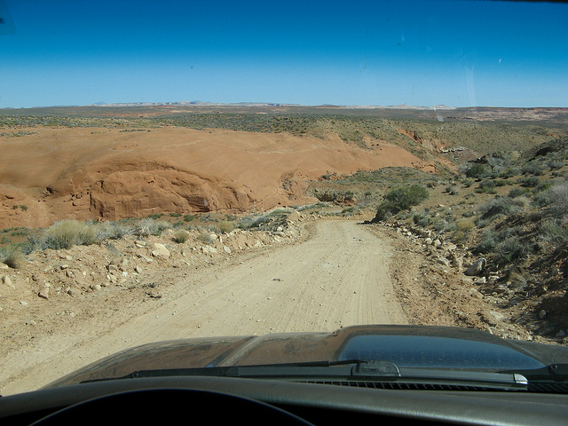
Driving back into Carcass Wash on the way back to Escalante. I believe the drop off ahead of me in this picture is where the truck went off in the bad boy scout accident in 1963. 13 people died.
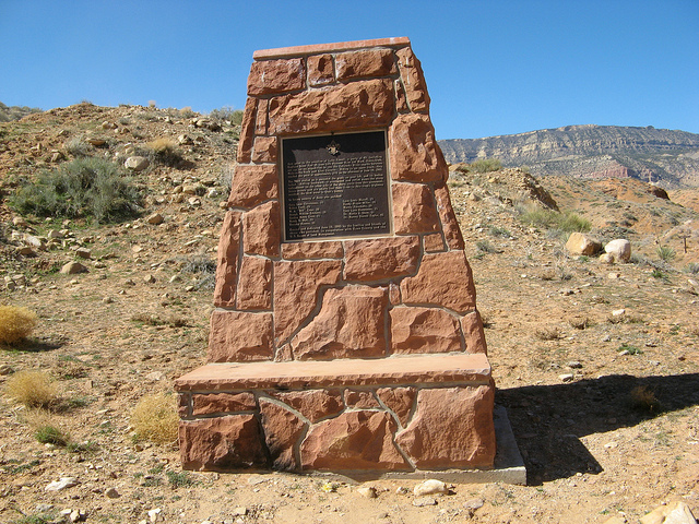
The memorial near the bottom of Carcass Wash.
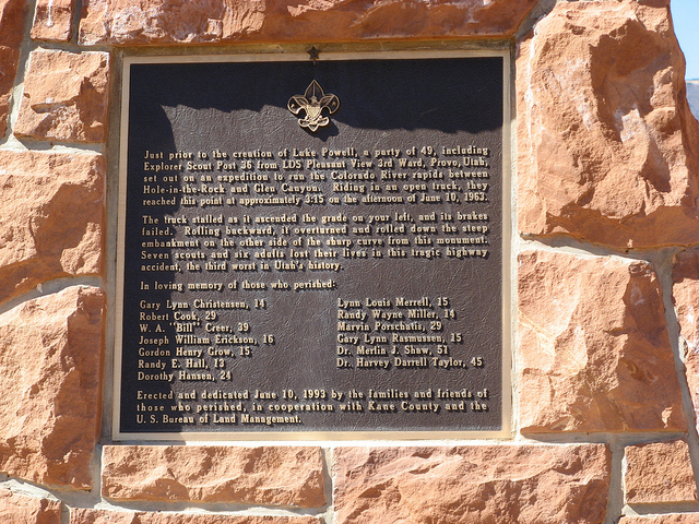
Close-up of the memorial
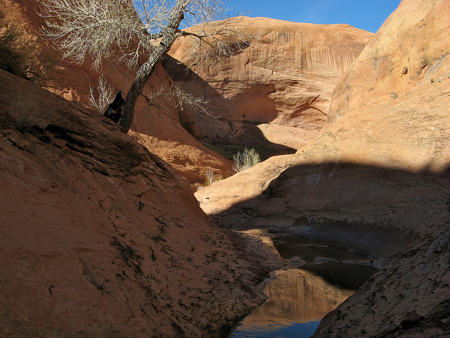
After the long drive back to Escalante we found our way to the Town Trailhead and started our way down the Escalante River.
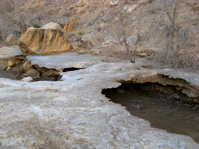
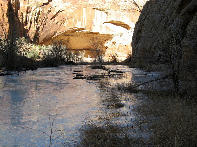
A few bends in we started to see ice on the darker bends that don't get sunlight this time of year.
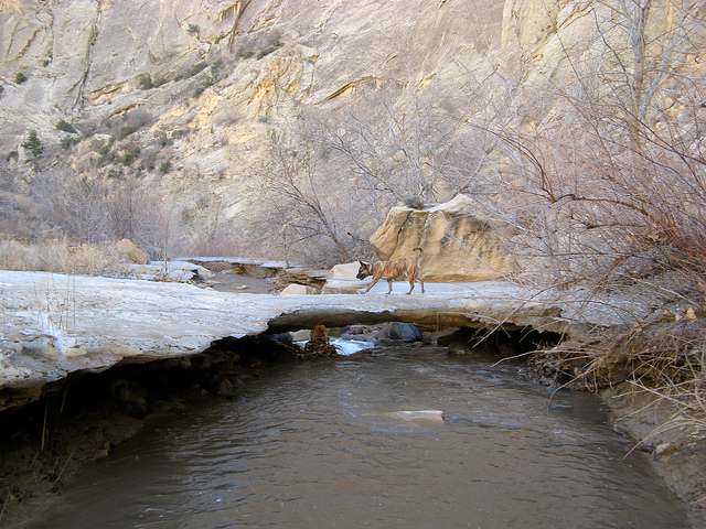
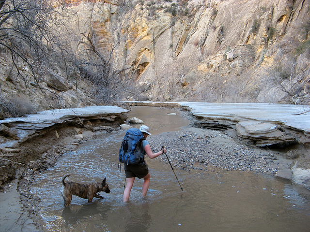
And then we found lots of ice. That's Nikita crossing an ice bridge over the Escalante River.
Here's a little video clip of the ice.
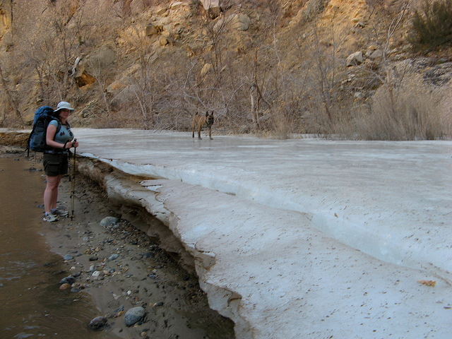
Our feet were popsicles from walking in the river so we were really motivated to get into the sun on the next bend.
This ice field was hundreds of feet long and several feet thick. Wild stuff.
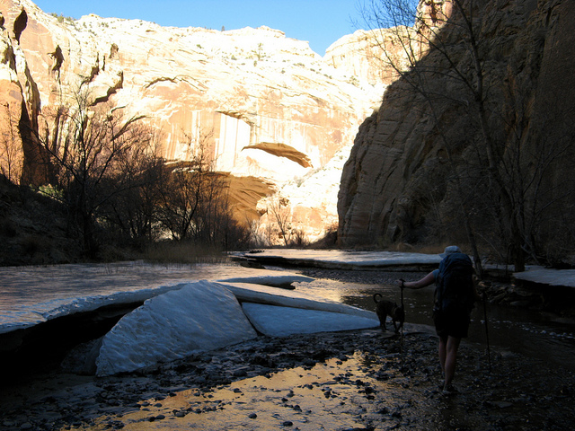
The alcove on the next bend was in direct sunlight when we arrived and it had a nice oven effect going on. It was really comfortable.

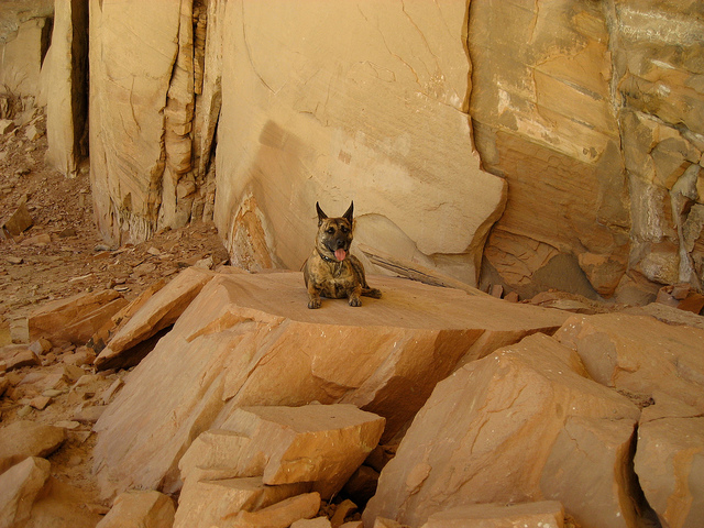
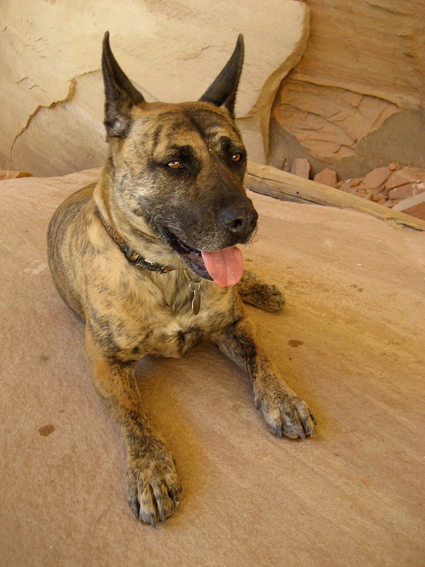
Nikita
Rock art in the alcove

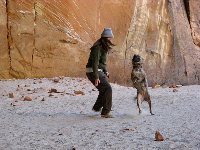
Audra and Nikita playing in the morning.
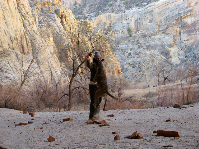
Jump shot
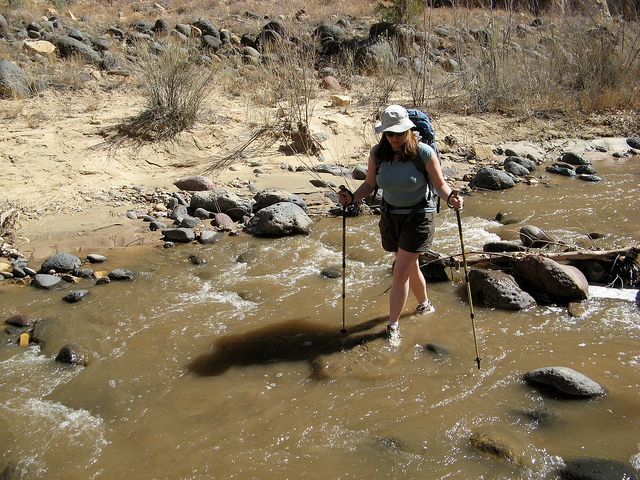
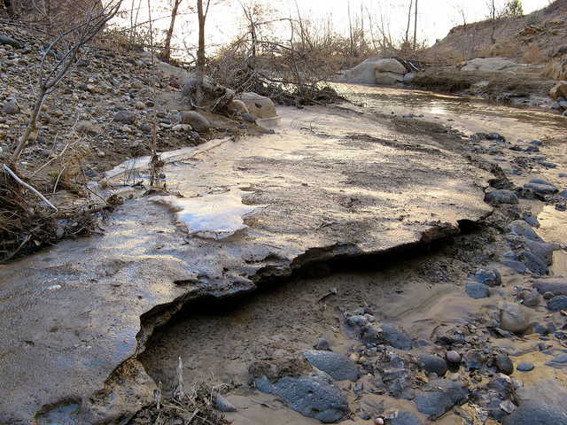
The river was running higher in the morning and the water was so cold. I can't emphasize how cold it was, it must've been some fresh runoff because it was extraordinarily painful to walk in. We found this little shortcut to avoid the icy bend in the river.
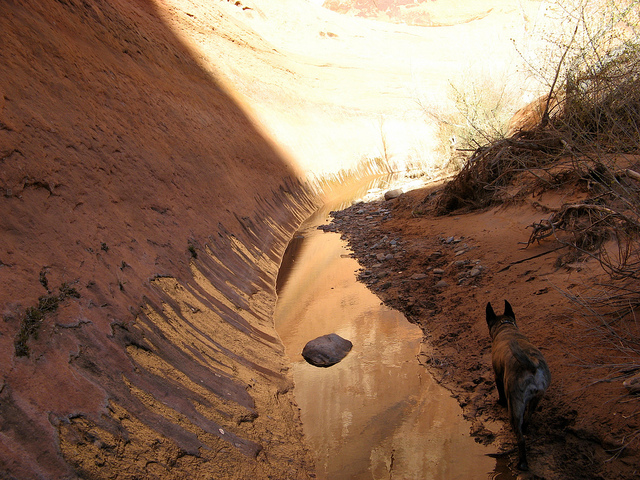
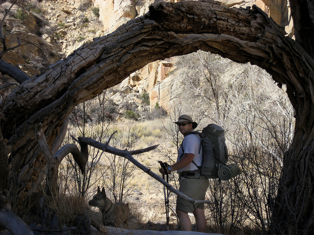
Nikita and I hiking back out.
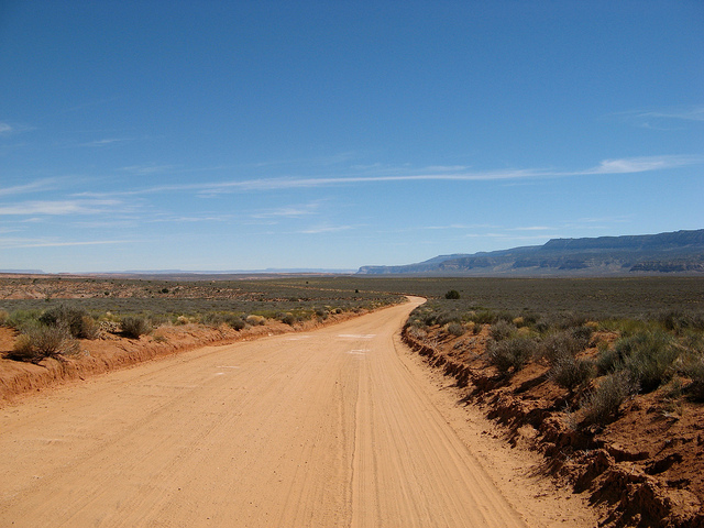
Homeward bound
This was a very short notice trip. I wasn't planning on getting out to the desert until May but it was spring break from school and the weather was just too good to ignore. This trip would become Audra's first ever backpacking trip so we decided we would do a day hike on the first day and then a one night backpack the next two days.
The plan was to day hike Willow Gulch to Broken Bow Arch and then backpack into 50-Mile Creek. We stopped at Devil's Garden on the way down Hole-in-the-Rock Road.
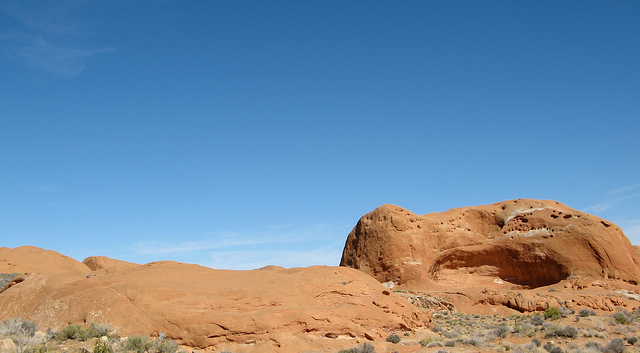
Metate Arch
Back down Hole-in-the-Rock Road
Dance Hall Rock
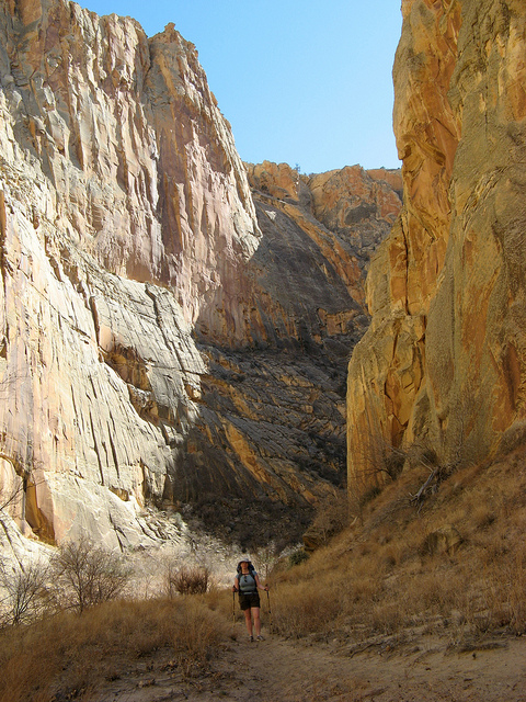
After many hours of driving we found our way to the Willow Gulch trailhead and were on our way down the trail.
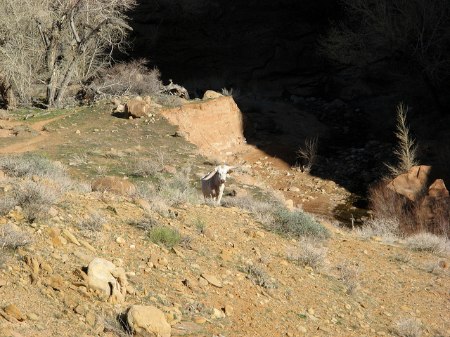
We were about a mile in when we ran into this guy. I wasn't quite sure what to do when I saw him. I've thought about running into bears, moose, snakes, you name it. I never really thought I'd run into a psychotic, lop-sided bull.
There was no way around him so we picked up some big rocks and stayed as far as we could. He kept pointing at us the whole time. A few grunts and then a big pile of crap. Discovery channel stuff I tell you. Anyway, he let us through after a few minutes.
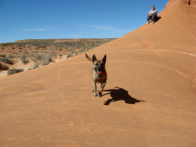
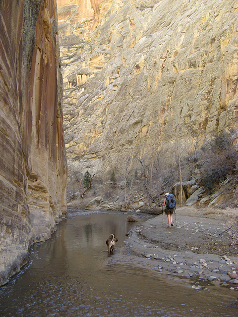
Lower Willow Gulch
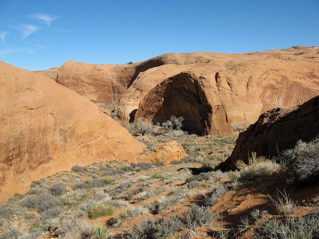
Our first view of Broken Bow Arch
We ran into a couple of other hikers who offered to take a picture for us. The arch itself is huge. The opening is estimated at 94' wide and 100' tall making it one of the largest natural arches in the world.
Here's a short video clip of Broken Bow Arch
Some narrows on the way back to the trailhead.
Selfie
The view upstream from where the trail leaves Willow Gulch
The sun setting behind Mortar Board Rock
What's missing in this picture?
Sooner Rocks made a fine place to car camp. This is about 38 miles down Hole-in-the-Rock Road.
Audra packing up for her first official backpacking trip.
Driving back into Carcass Wash on the way back to Escalante. I believe the drop off ahead of me in this picture is where the truck went off in the bad boy scout accident in 1963. 13 people died.
The memorial near the bottom of Carcass Wash.
Close-up of the memorial
After the long drive back to Escalante we found our way to the Town Trailhead and started our way down the Escalante River.
A few bends in we started to see ice on the darker bends that don't get sunlight this time of year.
And then we found lots of ice. That's Nikita crossing an ice bridge over the Escalante River.
Here's a little video clip of the ice.
Our feet were popsicles from walking in the river so we were really motivated to get into the sun on the next bend.
This ice field was hundreds of feet long and several feet thick. Wild stuff.
The alcove on the next bend was in direct sunlight when we arrived and it had a nice oven effect going on. It was really comfortable.
Nikita
Rock art in the alcove
Audra and Nikita playing in the morning.
Jump shot
The river was running higher in the morning and the water was so cold. I can't emphasize how cold it was, it must've been some fresh runoff because it was extraordinarily painful to walk in. We found this little shortcut to avoid the icy bend in the river.
Nikita and I hiking back out.
Homeward bound