Udink
Still right here.
- Joined
- Jan 17, 2012
- Messages
- 1,748
I realized a few weekends ago, after a few short hikes, that I need to get into better hiking shape, so the following weekend I did something about it. I chose the West Fork of Moonshine Wash since it was relatively easy but left open the option for a longer hike. The pups and I started the hike west and a little north of Saucer Basin. An old road led me to a spot where I was able to drop into the wash, where I headed downstream. The watercourse was mostly flat and sandy or gravelly, but I encountered a few places where it narrowed up and dropped suddenly. The first such spot I climbed out of the canyon to bypass it. Another the dogs and I were able to downclimb easily. Yet another required me to climb out of the canyon and walk the rim for half a mile before I could drop back in. I regret not getting to see that part of the canyon, but at the time I didn't want to add another mile to the hike.
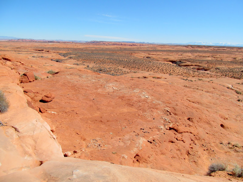
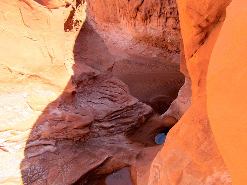
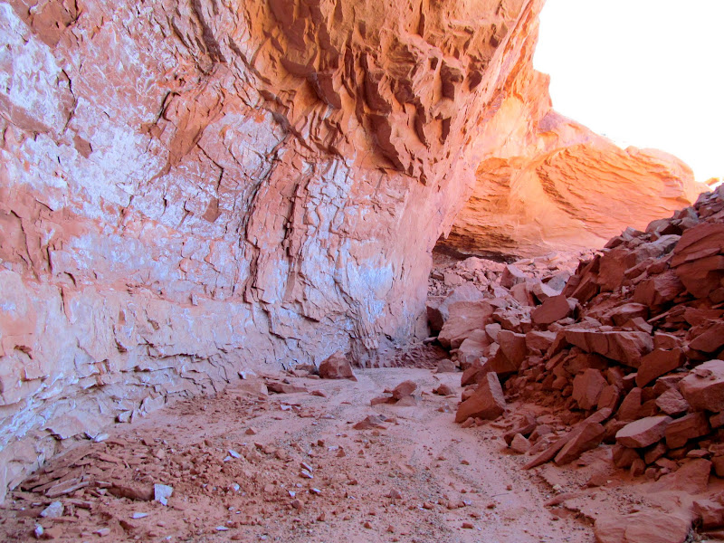
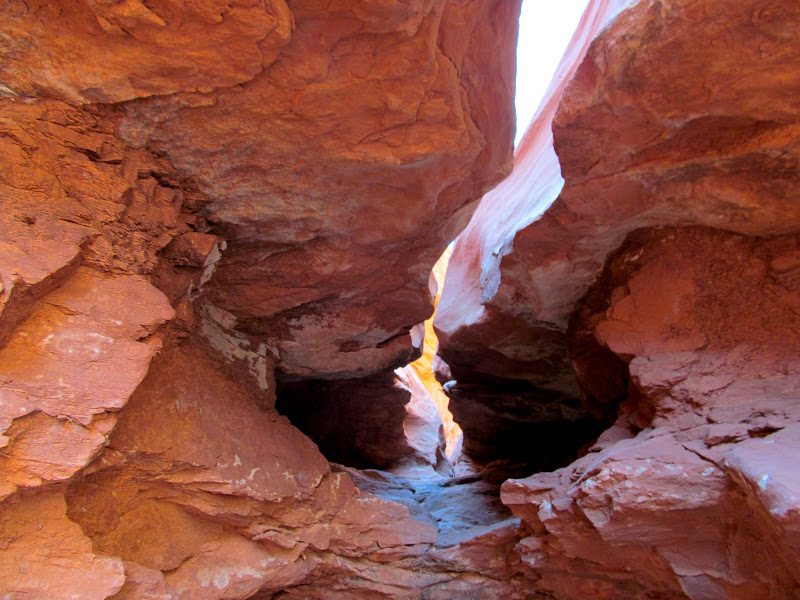
Descent into the canyon
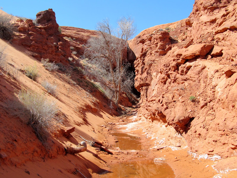
West Fork of Moonshine Wash
Small potholes that required a bypass on the right
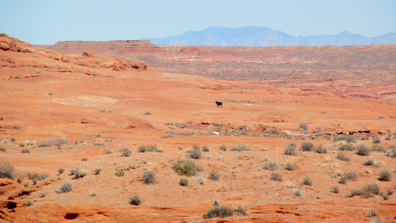
A cow
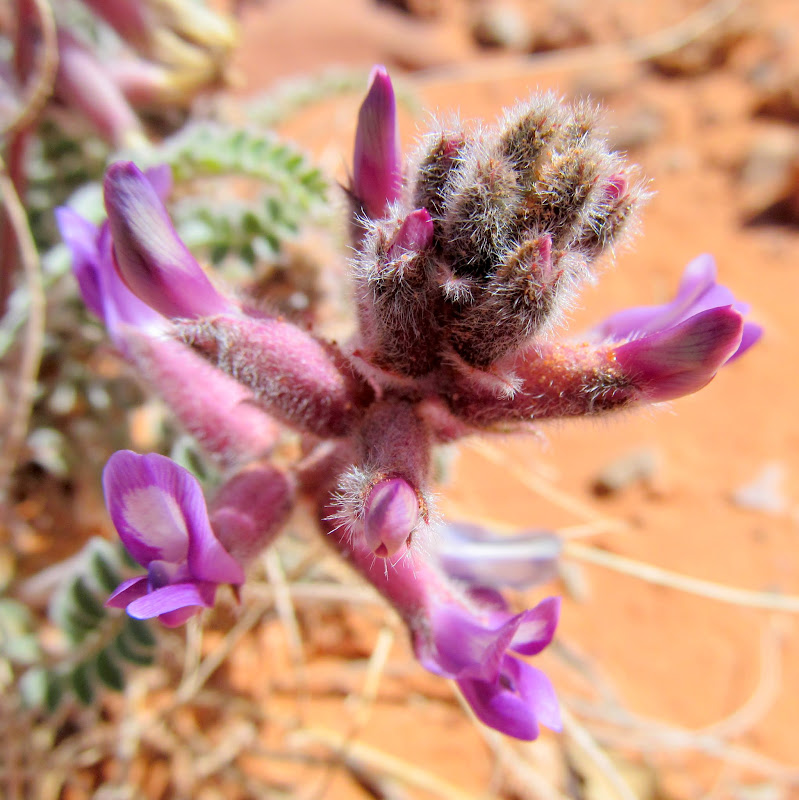
Lupine blooms
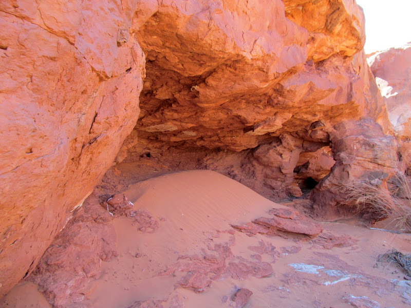
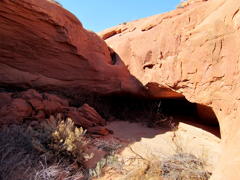
Shallow, sandy alcove with a natural arch
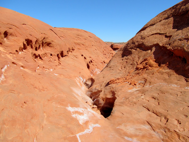
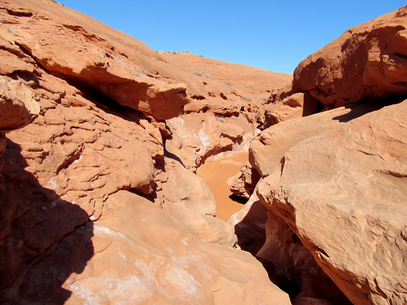
Easy-to-downclimb narrows
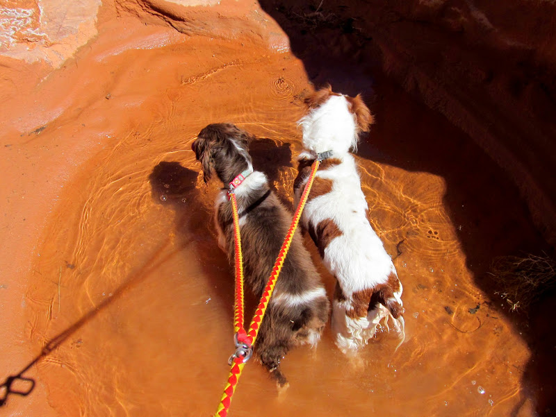
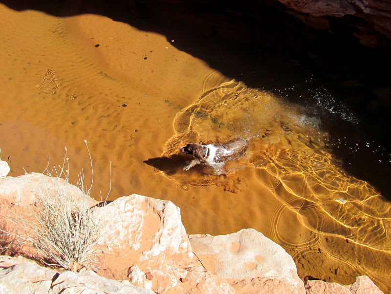
Boulder and Torrey in a pool
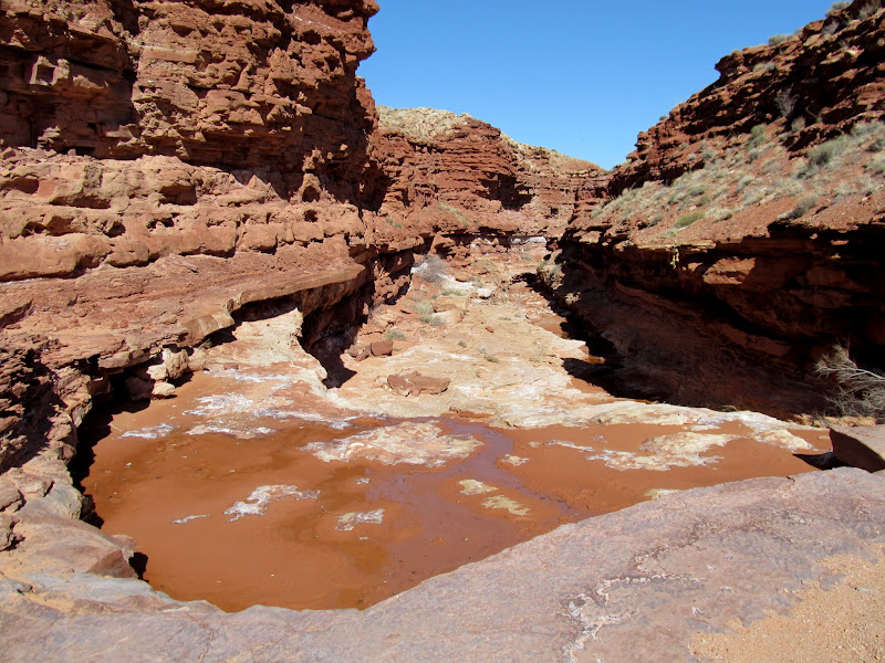
Impassable potholes
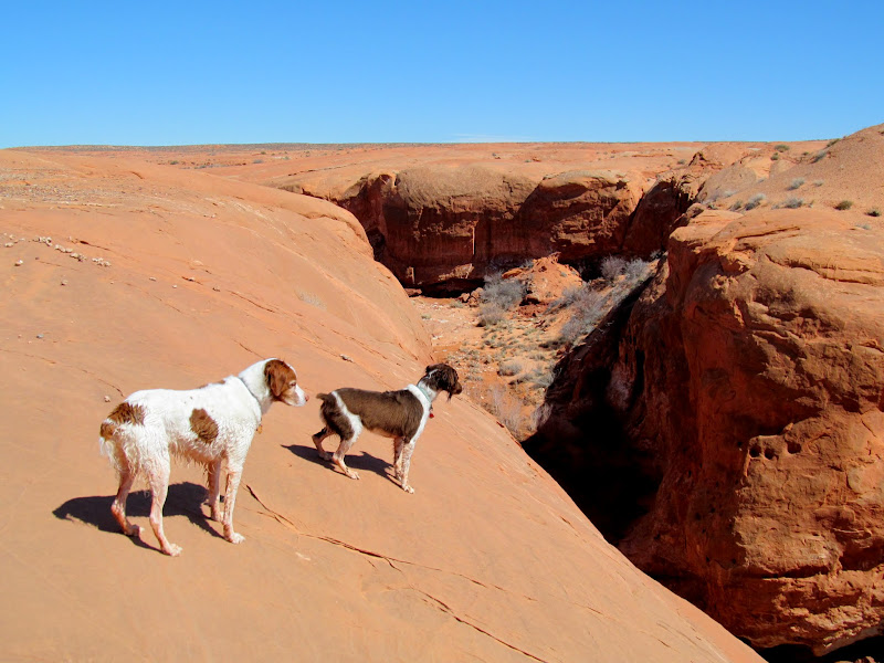
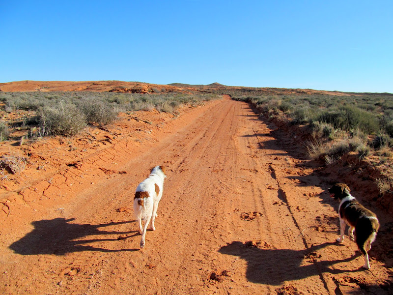
Dogs above the West Fork of Moonshine Wash
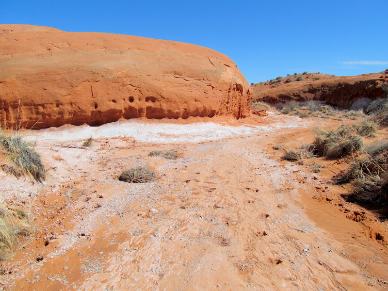
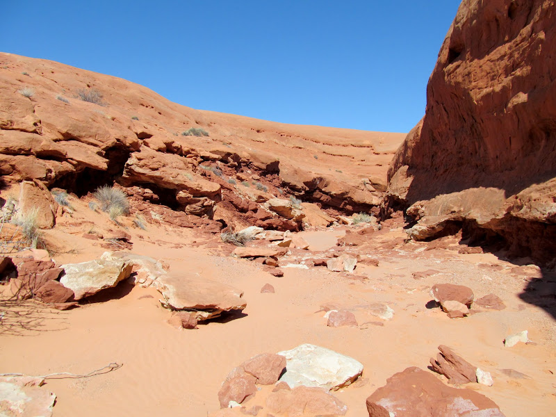
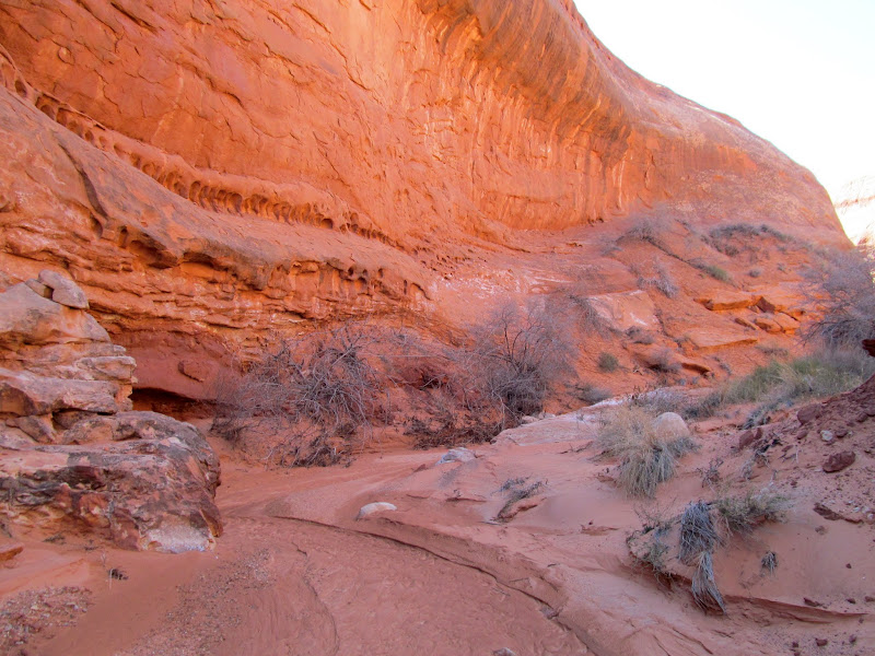
Back in the canyon
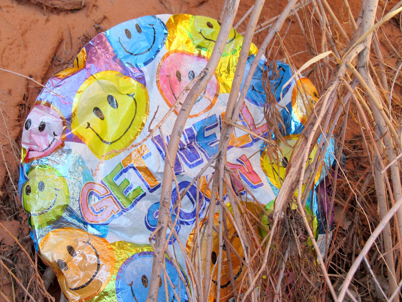
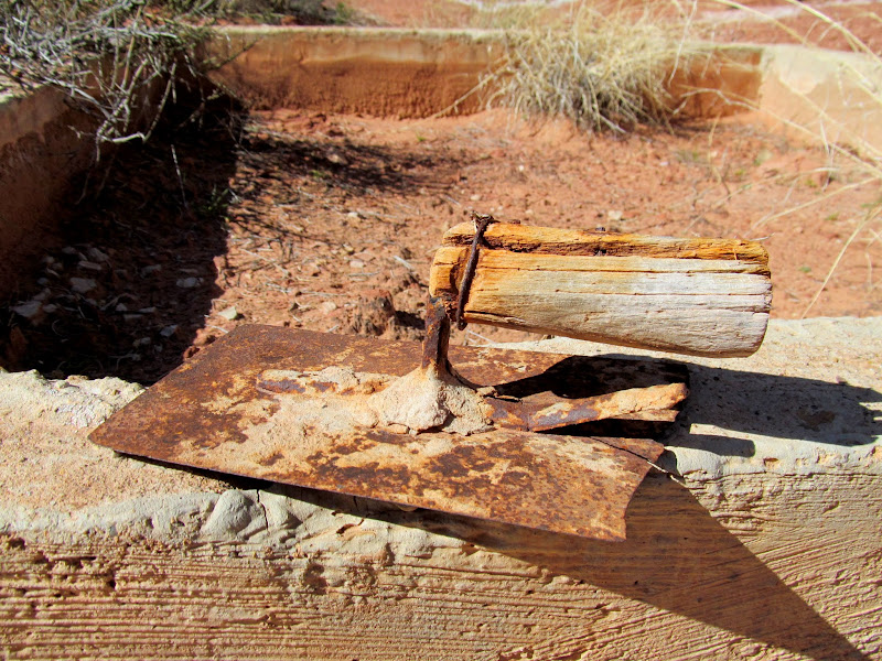
I found another mylar balloon--the latest of many this year--that I packed out with me. The lower portion of the west fork held several short side canyons, many of which had springs and/or alcoves at their heads. I hadn't intended to hike all the way to the moonshine tanks, where supposedly moonshine was made during prohibition, but when I got within a mile of there I decided to press on. I'd hiked to the moonshine tanks once before, 11 years ago, but I took a much shorter route then. Nothing much has changed, except I think the climb back up the ledge just upstream from the tanks has gotten more difficult.
Get Well Soon
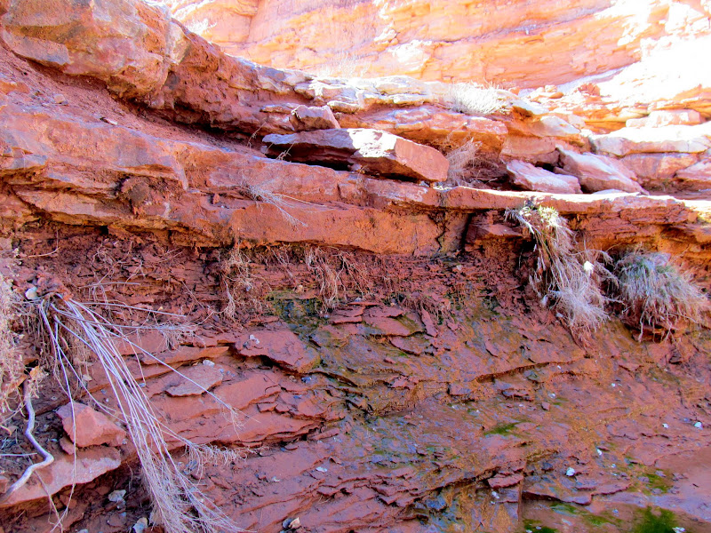
Spring water in a fork
Ice in perpetual shade
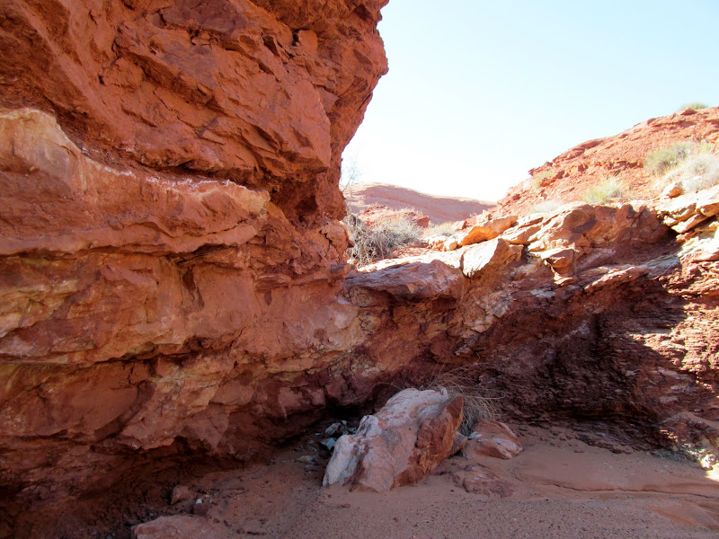
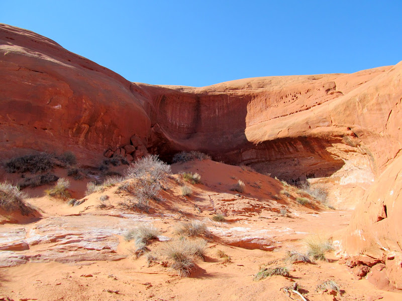
Short side canyon
Alcove in a short side canyon
Rockfall
Above the moonshine tanks
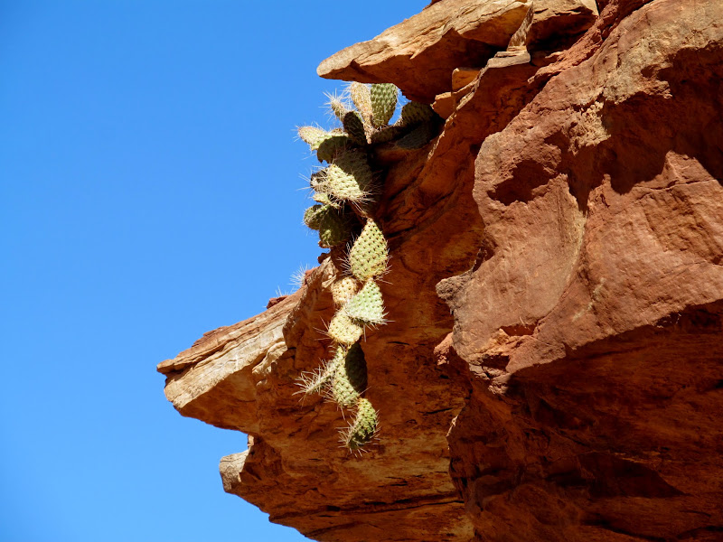
Hanging cactus
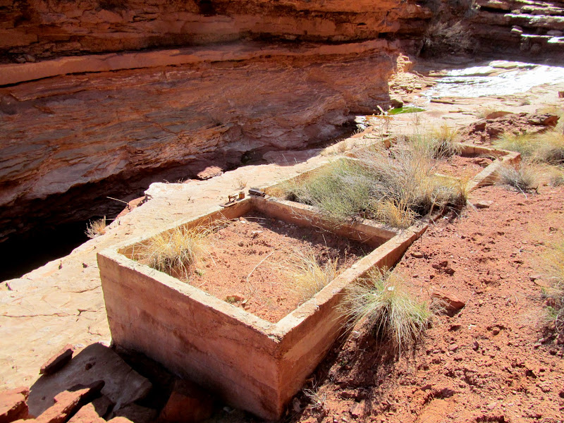
Trowel at the moonshine tanks
Moonshine tanks
Boulder going for a swim
Difficult climb above the tanks
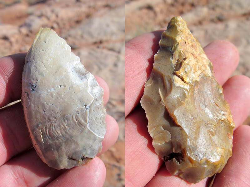
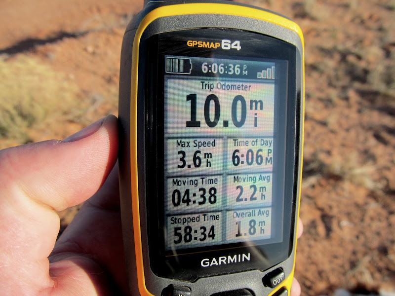
After leaving the moonshine tanks I took a small fork that quickly climbed to the west and had a couple of branches to explore. Finding nothing of interest there, I exited the canyon system and headed toward the road. I was really disappointed that I hadn't seen a single sign of historic or prehistoric occupation. I'd hoped to find some inscriptions, rock art, flint--anything really--that told part of the story about earlier inhabitants. During the walk to the road I was surprised to actually find a worked piece of flint that had been discarded before being finished. At least it was something. Once I reached the road, the hike back to my vehicle was a slog! The dogs and I were exhausted but feeling good after a hard workout once we arrived at the Jeep. The GPS registered exactly 10 miles for the hike. It was more than I'd planned for the day, though I was glad to have covered most of the West Fork of Moonshine Wash in a single trip.
Difficult upclimb in the exit fork
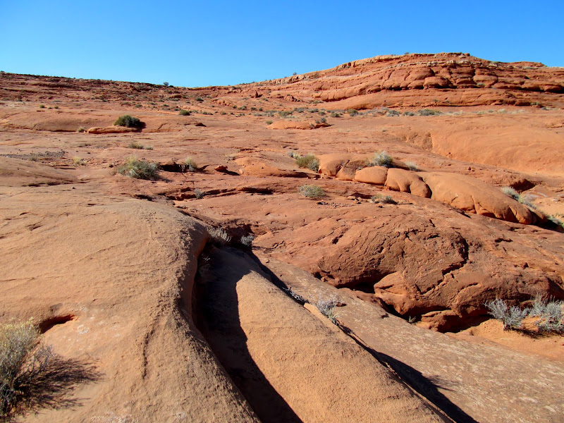
Slotty
Alcove at Moonshine Spring
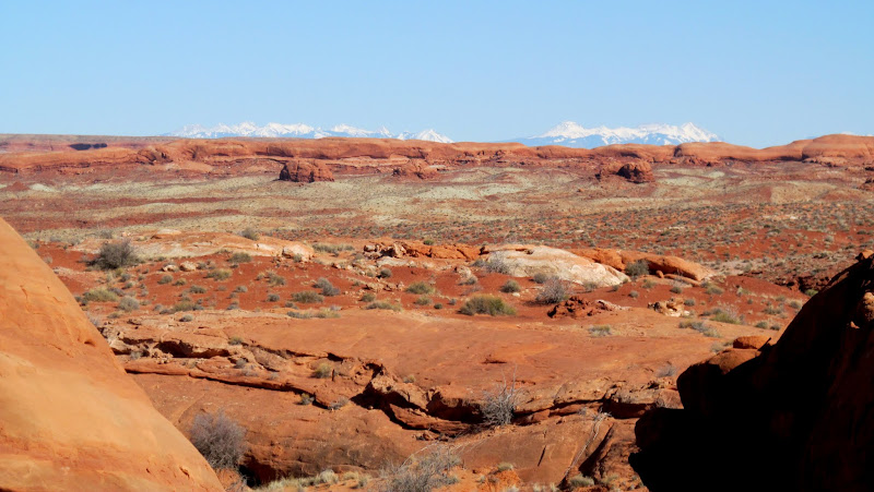
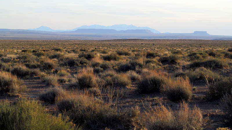
La Sals over the San Rafael Desert
The climb up to the road
Ooh, a pretty rock!
Starting the two-mile road walk back to the Jeep
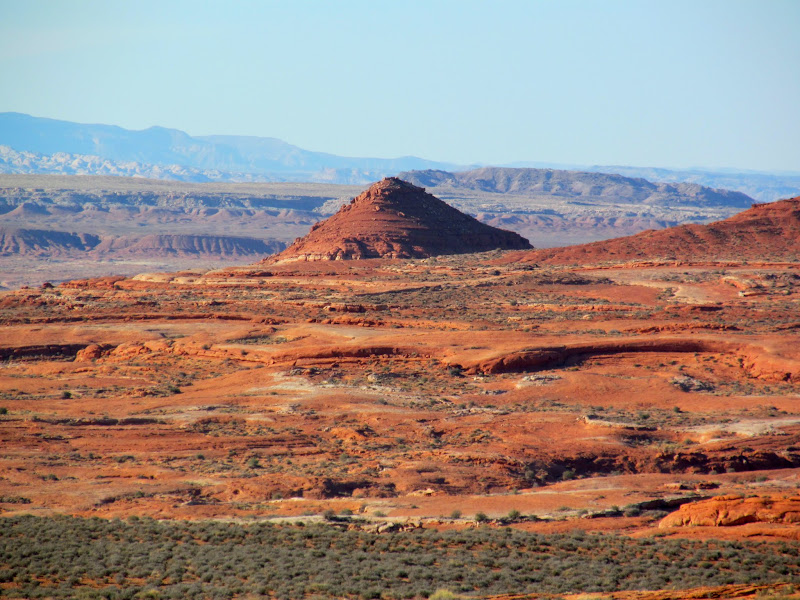
The Cone
La Sal Mountains
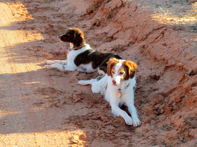
Boulder and Torrey resting
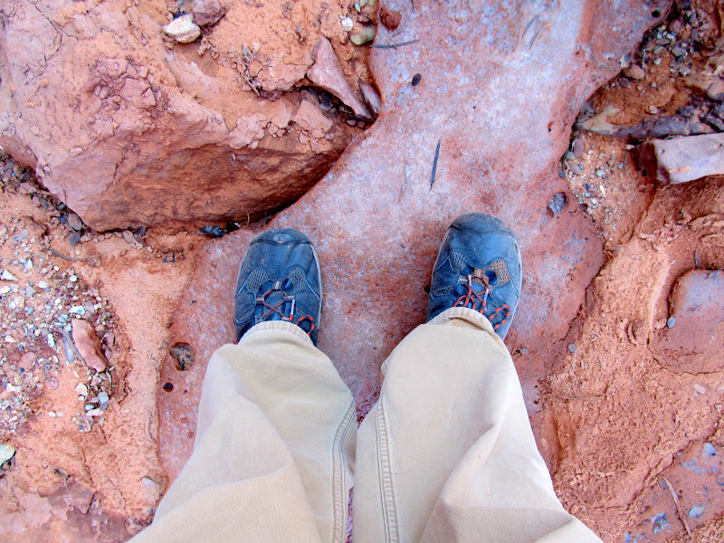
10 miles
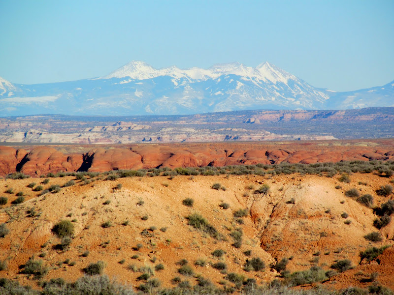
Interesting alignment of the Flat Tops and Henry Mountains
Horse Bench Reservoir
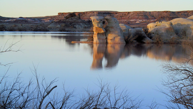
Photo Gallery: West Fork of Moonshine Wash
GPS Track and Photo Waypoints:
[ Google Earth KMZ ] [ Gmap4 Satellite ] [ Gmap4 Topo ]
Descent into the canyon
West Fork of Moonshine Wash
Small potholes that required a bypass on the right
A cow
Lupine blooms
Shallow, sandy alcove with a natural arch
Easy-to-downclimb narrows
Boulder and Torrey in a pool
Impassable potholes
Dogs above the West Fork of Moonshine Wash
Back in the canyon
I found another mylar balloon--the latest of many this year--that I packed out with me. The lower portion of the west fork held several short side canyons, many of which had springs and/or alcoves at their heads. I hadn't intended to hike all the way to the moonshine tanks, where supposedly moonshine was made during prohibition, but when I got within a mile of there I decided to press on. I'd hiked to the moonshine tanks once before, 11 years ago, but I took a much shorter route then. Nothing much has changed, except I think the climb back up the ledge just upstream from the tanks has gotten more difficult.
Get Well Soon
Spring water in a fork
Ice in perpetual shade
Short side canyon
Alcove in a short side canyon
Rockfall
Above the moonshine tanks
Hanging cactus
Trowel at the moonshine tanks
Moonshine tanks
Boulder going for a swim
Difficult climb above the tanks
After leaving the moonshine tanks I took a small fork that quickly climbed to the west and had a couple of branches to explore. Finding nothing of interest there, I exited the canyon system and headed toward the road. I was really disappointed that I hadn't seen a single sign of historic or prehistoric occupation. I'd hoped to find some inscriptions, rock art, flint--anything really--that told part of the story about earlier inhabitants. During the walk to the road I was surprised to actually find a worked piece of flint that had been discarded before being finished. At least it was something. Once I reached the road, the hike back to my vehicle was a slog! The dogs and I were exhausted but feeling good after a hard workout once we arrived at the Jeep. The GPS registered exactly 10 miles for the hike. It was more than I'd planned for the day, though I was glad to have covered most of the West Fork of Moonshine Wash in a single trip.
Difficult upclimb in the exit fork
Slotty
Alcove at Moonshine Spring
La Sals over the San Rafael Desert
The climb up to the road
Ooh, a pretty rock!
Starting the two-mile road walk back to the Jeep
The Cone
La Sal Mountains
Boulder and Torrey resting
10 miles
Interesting alignment of the Flat Tops and Henry Mountains
Horse Bench Reservoir
Photo Gallery: West Fork of Moonshine Wash
GPS Track and Photo Waypoints:
[ Google Earth KMZ ] [ Gmap4 Satellite ] [ Gmap4 Topo ]
