Ben
Member
- Joined
- Sep 12, 2014
- Messages
- 1,873
I went in the middle of June. The West Coast Trail was originally built a century ago as a life saving route in response to the frequent shipwrecks along the southern coast of Vancouver Island facing the Straight of Juan de Fuca. It runs between the Gordon River at Port Renfrew, and Pachena Bay near Bamfield. In Canada the trail is 75km, which is ~48 miles. Some of the route travels right along the beach, some of it through forest. There are two ferries involved in the length of it, a few cable cars, a number of bridges, and quite a lot of ladders.
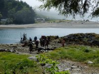
I started from the East end at Port Renfrew and hiked West. From the park office at Port Renfrew it is is necessary to take a very short ferry across the Gordon River estuary to access the start of the trail. Looking back upon disembarking. The last i'd see of the group i rode across with.
The way is well signed, and rather vegetated. Coming from the East the first several miles are wooded like this.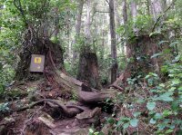
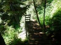
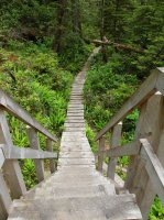
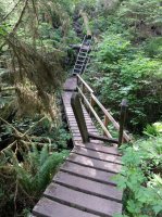
It's not long before the ladders begin. Up and down we go.
Even before the original trail was finished a telegraph line was strung along the route, also to aid in life saving efforts on account of the ship wrecks. Remnants of it can still be seen along some portions of the trail.
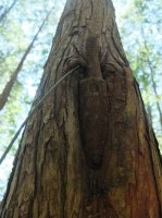
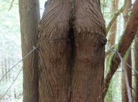
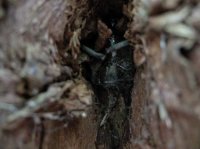
This picture is a close up from the previous, a glass insulator grown into the tree.
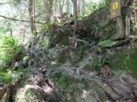
A not insignificant amount of the far eastern end of the trail looks like this. Right up the rocks.
An old donkey engine from old trail construction. The two logs it sits on are held together at both ends with timbers, and bolts two or three feet long running through them.
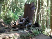
An old, from old trail construction. There are more of these.
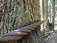
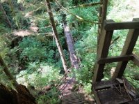
This was not the only place i had to more than hunch over to get under a tree across teh trail. You might note this one has been here long enough for an other tree to start growing off of it.
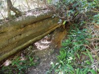
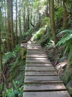
Many sections of the trail have board walk in various states, some better than others.
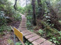
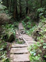
One of the aspects of the trail that most impressed me was some of the innovative construction along it. The best parts did not picture well. But there were places where the route passed along a downed tree that had been planed, to an other downed tree that had been planed, lying at a different angle, perhaps to an other. And this would all start and end with steps cut into the log to be able to get on top of and off of it.
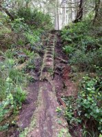
In some places there was mud. When i went it was fairly dry, i did not see any rain, which was fortuitous.
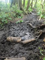
In some places whole rounds from a log have been sunk into the mire in attempt to make a path across it. At times it was difficult to find solid surface to walk around it on.
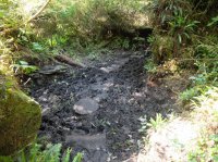
Old board walk.
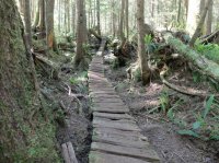
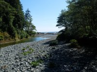
One of the creeks, finally with a view out to the ocean.
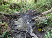
Trail.
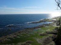
And finally a view for a moment.
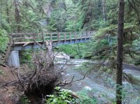
This was one of my favorite little gems.
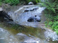
Ladders for days.
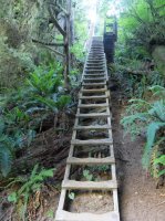
See three descending in succession here.
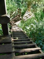
The first cable car, i think at Camper Creek.
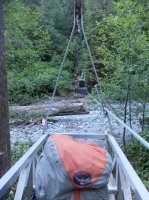
I don't believe that any of the cable cars were necessary given the water levels when i was there. I only used two, this and the next, for the novelty of it. Really it's more of a hassle than it's worth when you can just walk across.
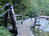
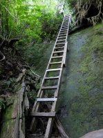
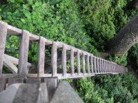
An other three ladders. I believe the longest single ladder i counted was at least sixty rungs, and the longest series was at least a couple hundred.
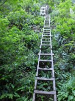
Up on top, between creeks, in the eastern third of the trail.
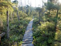
This is Logan Creek. I took a few pictures to capture how the trail makes it's way across. I loved it. I really love a nice bridge, especially in back country.
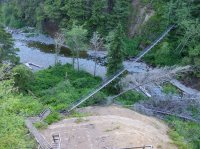
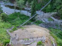
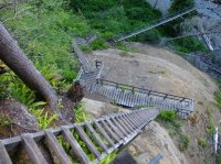
The bridge.
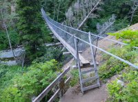
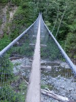
Looking back at the way down.
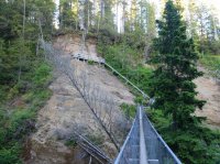
Looking out from the bridge. You can see the mainland, Washington state, across the straight.
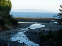
And on the other side of the bridge.
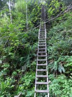
Looking back down. I believe there was one other drainage that involved as much up and down to cross it as Logan Creek, one right next to it as i recall. Looking at the topo i believe it was Cullite.
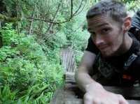
Back on top, the sun getting lower.
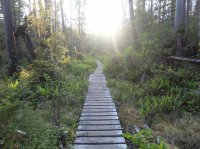
My first night i camped at Walbran Creek. You can see some backpackers are already here. You might also note the cable care to the left of them. At many of these creeks the tide seems to push up a berm at their mouths that creates these pools. I don't know if this only happens when stream levels are lower as when i was there. I was able to walk on beach below this pool above low tide.
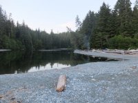
The cable car.
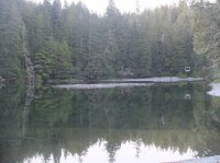
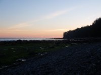
The best sun set i got on this trip. The beach faces South all along the island here, and this far North, this time of summer, the sun sets North of West, so i never actually saw it. This in stark contrast to my previous trip in Olympic National Park.
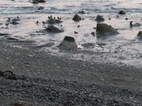
There were these strange rock formations in the water near the mouth of Walbran Creek, and a lot of birds around too.
The moon, and Venus and Jupiter if had to guess.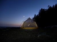
The next morning. many of the camp areas were marked with collections of buoys.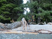
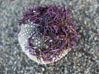
Sea urchin carcass.
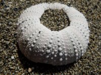
An other skeleton farther down the beach.
And the beach it's self. Finally i had some open shore to walk along, some thing to see, in stead of being tree bound like all of the first day.
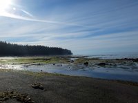
Strange rock line.
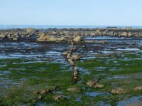
Old metal.
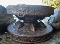
Birds.
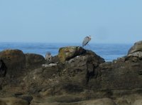
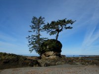
Carmanah Lighthouse sits on that point, white structures cut out of the trees.
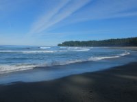
Carmanah Creek. I found a piece of drift wood to lay over it and cross rather than using the cable car, or getting my feet wet.
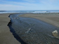
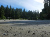
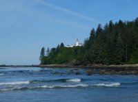
Here you can buy a burger from the First Nations people who still liver here. It was 9am when i walked by so i passed. But they had a dog there, and i liked that. Nice people.
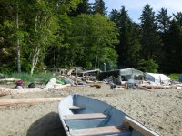
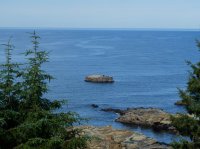
From the light house you can look down on a sea lion haul out rock. The keeper had a telescope pointed to it you could look through.
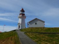
Carmanah Lighthouse.
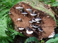
Classic fungus.
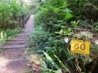
Most of the bridges are labeled like this, numbered and bilingual. They count down from East to West. The ladders are numbered in identical fashion, but there are more of them. 80 passerelles to go.
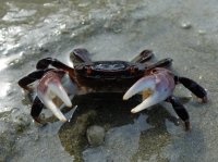
Wild life. I love these guys. They present defensively at first, but if you just stand there taking pictures for a minute they switch to passive, lower their claws and wait for you to leave.
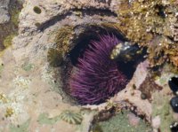
Urchin. Some really cool tidal pools here just West of Carmanah Lighthouse.
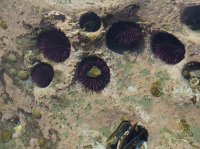
Purple urchin, green anemone. Gray barnacles.
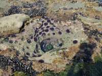
So many barnacles.
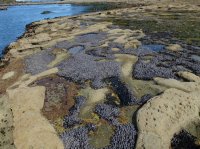
I got a closer view of the sea lions from below the lighthouse. Pretty cool. You could hear them very well, noisy critters.
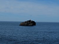
At the same place as the previous handful of pictures.
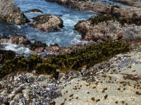
And this guy.
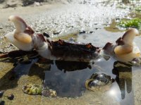
Contours.
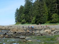
Crowds. There are a good number of people on this trail.
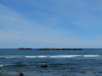
An other sea lion haul out.
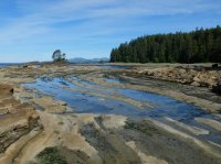
A shelf one walks along.
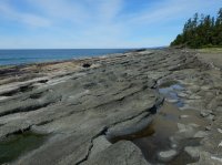
A surge channel.
Salt left from an evaporation pool.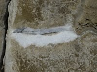
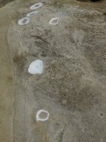
More buoys. Some times these marked where the trail switched from a beach route to inland trail through the forest, other times just camp sites.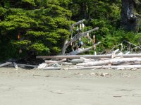
Wreckage.
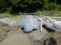
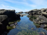
A very large evaporation pool.
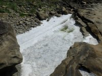
A snake.
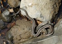
The trail runs above the beach here.
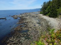
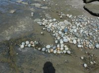
Softball sized rocks, all rounded by the surf.
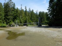
Bridge over the Cheewhat River.
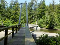
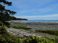
Old fungus.
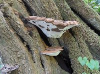
Some of the trees are thick.
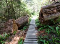
Roughly half way along the trail is the Nitinat Narrows, where a ferry is required. You can buy fresh cooked sea food here also. I should have taken some photos from the ride, it was beautiful, and cool and unique, but i had put my camera away.
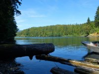
Looking down on a pocket beach.
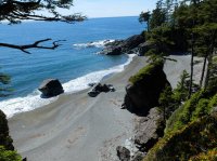
A very large ship on the horizon.
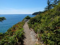
The trail.
I believe this may have been the beach i climbed the ladder down to and took a nap on.
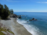
In the distance, left of center, you can see the snow capped Olympic Mountains in Washington.
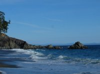
Tsustiat Arch.
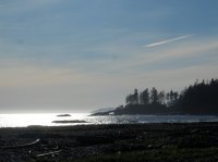
buoy tangle in the drift wood.
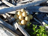
Tsusiat Arch from the back side.
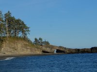
The way up to the trail from the camp near Tsusiat Falls. The route transitions here from the beach.
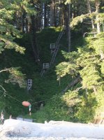
Tsusiat Falls. A trickle.
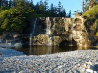
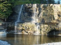
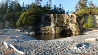
The tent city near Tsusiat Falls. Crowded place. The next camp site was much more low key.
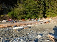
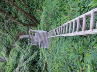
More ladders.
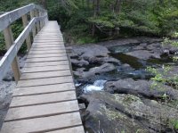
This bridge is over Tsusiat Creek above the falls.
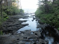
Looking out the creek over the brink of the falls.
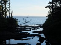
Looking back, Tsusiat Arch at the point.
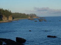
I camped here my second night, at Klanawa River. In spite of this large pool, again i was able to walk on beach between it and the ocean. The stream goes under the sand, just as many others did.
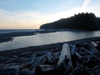
A couple of girls arrived here at the same time i did, and they were kind enough to let me join them for a little conversation as i was hiking by my self. One of the nice things about a well traveled trail. Both of them were originally from Ottawa. One was now living in the Yukon, working at Kluane National Park.
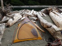
Hiking out the next morning. a nice rocky beach.
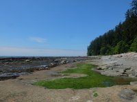
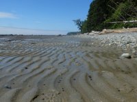
Marking access to the inland route.
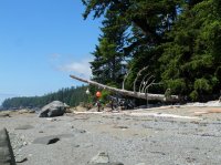
Channels cut in the rock.
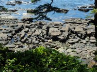
A second old donkey engine, slightly smaller than the other.
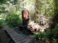
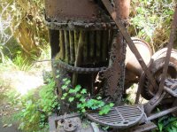
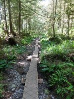
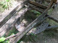
An old grader.
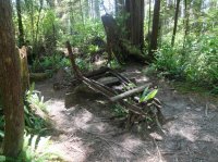
The blade of the grader, and the apparatus for setting it's angle.
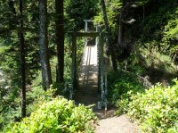
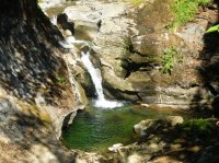
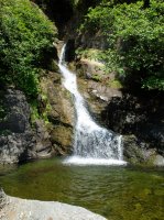
I stopped at this beach for a while and watched some whales for about half an hour or more. I think there were three or four of them. They'd surface in succession, then there would be an interval of a couple minutes or more, and then repeat, always surfacing only one at a time. Or one whale was surfacing three or four times quickly, and then waiting to do it again.
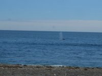
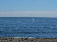
They also did this thing where they would stick a flipper up and spin it in a circle. I took more than a hundred pictures of these things, in bursts hoping to get some good ones.
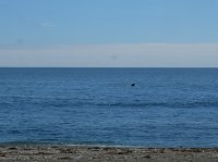
More wreckage.
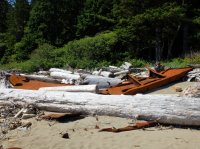
More beach.
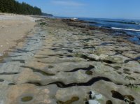
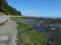
Some green.

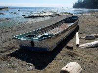
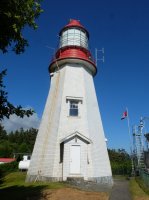
At Pachena Lighthouse.
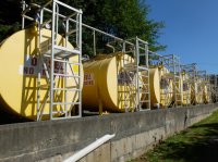
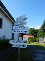
Also at Pachena Lighthouse. Canada's a funny place. In spite of all the kilometers, miles still show up in random places.
Pachena Lighthouse.
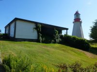
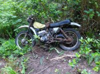
Not my bike. A few surprising miles from the West trailhead.
Getting close.
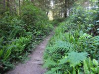
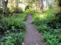
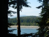
A view out over Pachena Bay, about a mile from the trailhead.
And of course, one last ladder.
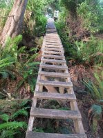
For any one who did not get enough, i believe i have a couple hundred more pictures of ladders that did not make the cut.
Some thoughts on this trip and this trail. My biggest take away was that, while similar, i did not enjoy this hike nearly as much as i had my hike on the coast of Olympic National Park immediately previous to this. There are a few reasons for this. The most glaring is the price difference. While at the most basic level they deliver the same thing, a (semi) wilderness beach/shore hike, a permit in Olympic National Park costs $5/night, while a permit for the West Coast Trail costs ~$150US, including fees for both of the ferries. Part of the reason for the high price is that it covers the rescues for those injured on the trail. Any way. I also preferred the sea stacks and other formations on the Olympic coast. They were bigger, more impressive, more numerous. I preferred the sunsets as well, and i believe a lot of the has to do with the orientation of the coast lines. The Olympic coast also felt more wild. FAR less developed, far fewer people. No where to buy food cooked for you along the way, a lot less boat traffic (i didn't see any in Olympic NP, and i saw it, and heard it, every day from Vancouver Island), and about the closest you got to trail construction in Olympic was a rope tied to a tree to help you make it over a headland. And i felt that the West Coast Trail felt more time than it needed in the trees looking at no thing (i've seen trees before) while basically all the Olympic route is on the beach. It wasn't all one sided. The coolest tide pools i found were on the West Coast Trail, and there were good views of the sea lions, though i'd heard them on the Olympic too. The lighthouses were cool, but again, took away from the wild feel. I probably would have enjoyed the West Coast Trail more if i had taken a little more time with it, soaked it in, and if i'd had some one to soak it in with. I did the hike in three days, many people spend as much as a week doing it. I was rushing on to other places. But regardless of all the redeeming values, i still enjoyed the Olympic better, and there wasn't a single thing that made the West Coast Trail worth the cost. Given the price tags, i would choose the Olympic coast every time.
And finally, for those of you who care for a story, i have one from the day before i began my hike. On that day, when i first approached the park office at Port Renfrew, there were three girls sitting on the steps in front of it. I'd actually ridden past it when i first saw them there. I'd read them as locals hanging out on the porch of a house, and hadn't imagined that it was actually the office i was looking for. Any way, once i figured it out and was walking up the steps past these girls, one of them asked me an odd question. "Can we borrow your motorcycle?". I said "What?". It turned out these girls had hiked the trail from the other end and come out a day earlier than planned. They had reservations for the shuttle bus to take them back to their car the next day, but it had been full this day, so they were stranded in Port Renfrew, and just wanted to go home. They asked if i'd give one of them a ride to their car. They offered to pay me a hundred dollars. I could do it, but i didn't like the idea. They didn't have any gear for it. No helmet, no gloves, no thing even so sturdy as jeans. I'd have to take the ammo cans off of the bike just to make it possible for one of them to ride with me. Further complicating things, the car they needed to go get was a stick shift, and only one of the girls knew how to drive it, and she happened to be the least interested in riding passenger on a motorcycle. Eventually she thought of some thing no one else had for some reason. She asked if i could drive a stick shift. So we settled on them paying me a hundred dollars to ride out to the other end of the trail, leave my bike there, and drive their car back to them. This would take at least six hours to do, but i didn't have a reservation for the hike, or a job at that time, so i could just as easily start my hike the next day. And this way my bike would be at the far trailhead waiting for me when i finished the hike. I wouldn't need any shuttle. And i'd get some dollars out of it. So after i got every thing i needed off my bike and left my pack with them i spent the rest of the day mostly on poorly signed unpaved logging roads making my way along Vancouver Island. This is where my chain first started slipping off the rear sprocket. At the time i assumed it had to do with the quality of the roads, or the new chain that had just been put on, since it had never happened before. But i made it to their car, and with only minimal route confusion made it back to them in the middle of the evening. They were very excited when i showed up since it had taken even longer than we'd thought it would, and there's not really any cell service on that backwoods part of the island, so there was no way for me to let them know any thing. The girl who's keys i'd taken was particularly relieved. It looked like they should just make the last ferry back to mainland BC and be able to drive home by about four am. They were kind enough to give me a ride to a small campground a few minutes away, and we crammed four people and four backpacks into their Saturn. Every one left happy.
I started from the East end at Port Renfrew and hiked West. From the park office at Port Renfrew it is is necessary to take a very short ferry across the Gordon River estuary to access the start of the trail. Looking back upon disembarking. The last i'd see of the group i rode across with.

The way is well signed, and rather vegetated. Coming from the East the first several miles are wooded like this.

It's not long before the ladders begin. Up and down we go.


Even before the original trail was finished a telegraph line was strung along the route, also to aid in life saving efforts on account of the ship wrecks. Remnants of it can still be seen along some portions of the trail.


This picture is a close up from the previous, a glass insulator grown into the tree.

A not insignificant amount of the far eastern end of the trail looks like this. Right up the rocks.

An old donkey engine from old trail construction. The two logs it sits on are held together at both ends with timbers, and bolts two or three feet long running through them.

An old, from old trail construction. There are more of these.


This was not the only place i had to more than hunch over to get under a tree across teh trail. You might note this one has been here long enough for an other tree to start growing off of it.

Many sections of the trail have board walk in various states, some better than others.


One of the aspects of the trail that most impressed me was some of the innovative construction along it. The best parts did not picture well. But there were places where the route passed along a downed tree that had been planed, to an other downed tree that had been planed, lying at a different angle, perhaps to an other. And this would all start and end with steps cut into the log to be able to get on top of and off of it.

In some places there was mud. When i went it was fairly dry, i did not see any rain, which was fortuitous.


In some places whole rounds from a log have been sunk into the mire in attempt to make a path across it. At times it was difficult to find solid surface to walk around it on.

Old board walk.

One of the creeks, finally with a view out to the ocean.

Trail.

And finally a view for a moment.


This was one of my favorite little gems.

Ladders for days.

See three descending in succession here.

The first cable car, i think at Camper Creek.

I don't believe that any of the cable cars were necessary given the water levels when i was there. I only used two, this and the next, for the novelty of it. Really it's more of a hassle than it's worth when you can just walk across.


An other three ladders. I believe the longest single ladder i counted was at least sixty rungs, and the longest series was at least a couple hundred.

Up on top, between creeks, in the eastern third of the trail.

This is Logan Creek. I took a few pictures to capture how the trail makes it's way across. I loved it. I really love a nice bridge, especially in back country.


The bridge.


Looking back at the way down.

Looking out from the bridge. You can see the mainland, Washington state, across the straight.

And on the other side of the bridge.

Looking back down. I believe there was one other drainage that involved as much up and down to cross it as Logan Creek, one right next to it as i recall. Looking at the topo i believe it was Cullite.

Back on top, the sun getting lower.

My first night i camped at Walbran Creek. You can see some backpackers are already here. You might also note the cable care to the left of them. At many of these creeks the tide seems to push up a berm at their mouths that creates these pools. I don't know if this only happens when stream levels are lower as when i was there. I was able to walk on beach below this pool above low tide.

The cable car.

The best sun set i got on this trip. The beach faces South all along the island here, and this far North, this time of summer, the sun sets North of West, so i never actually saw it. This in stark contrast to my previous trip in Olympic National Park.

There were these strange rock formations in the water near the mouth of Walbran Creek, and a lot of birds around too.

The moon, and Venus and Jupiter if had to guess.

The next morning. many of the camp areas were marked with collections of buoys.

Sea urchin carcass.

An other skeleton farther down the beach.

And the beach it's self. Finally i had some open shore to walk along, some thing to see, in stead of being tree bound like all of the first day.

Strange rock line.

Old metal.

Birds.


Carmanah Lighthouse sits on that point, white structures cut out of the trees.

Carmanah Creek. I found a piece of drift wood to lay over it and cross rather than using the cable car, or getting my feet wet.


Here you can buy a burger from the First Nations people who still liver here. It was 9am when i walked by so i passed. But they had a dog there, and i liked that. Nice people.

From the light house you can look down on a sea lion haul out rock. The keeper had a telescope pointed to it you could look through.

Carmanah Lighthouse.

Classic fungus.

Most of the bridges are labeled like this, numbered and bilingual. They count down from East to West. The ladders are numbered in identical fashion, but there are more of them. 80 passerelles to go.

Wild life. I love these guys. They present defensively at first, but if you just stand there taking pictures for a minute they switch to passive, lower their claws and wait for you to leave.

Urchin. Some really cool tidal pools here just West of Carmanah Lighthouse.


Purple urchin, green anemone. Gray barnacles.

So many barnacles.

I got a closer view of the sea lions from below the lighthouse. Pretty cool. You could hear them very well, noisy critters.

At the same place as the previous handful of pictures.

And this guy.

Contours.

Crowds. There are a good number of people on this trail.

An other sea lion haul out.

A shelf one walks along.

A surge channel.

Salt left from an evaporation pool.


More buoys. Some times these marked where the trail switched from a beach route to inland trail through the forest, other times just camp sites.

Wreckage.

A very large evaporation pool.

A snake.

The trail runs above the beach here.

Softball sized rocks, all rounded by the surf.

Bridge over the Cheewhat River.


Old fungus.

Some of the trees are thick.

Roughly half way along the trail is the Nitinat Narrows, where a ferry is required. You can buy fresh cooked sea food here also. I should have taken some photos from the ride, it was beautiful, and cool and unique, but i had put my camera away.

Looking down on a pocket beach.

A very large ship on the horizon.

The trail.

I believe this may have been the beach i climbed the ladder down to and took a nap on.

In the distance, left of center, you can see the snow capped Olympic Mountains in Washington.

Tsustiat Arch.

buoy tangle in the drift wood.

Tsusiat Arch from the back side.

The way up to the trail from the camp near Tsusiat Falls. The route transitions here from the beach.

Tsusiat Falls. A trickle.


The tent city near Tsusiat Falls. Crowded place. The next camp site was much more low key.

More ladders.

This bridge is over Tsusiat Creek above the falls.

Looking out the creek over the brink of the falls.


Looking back, Tsusiat Arch at the point.


I camped here my second night, at Klanawa River. In spite of this large pool, again i was able to walk on beach between it and the ocean. The stream goes under the sand, just as many others did.

A couple of girls arrived here at the same time i did, and they were kind enough to let me join them for a little conversation as i was hiking by my self. One of the nice things about a well traveled trail. Both of them were originally from Ottawa. One was now living in the Yukon, working at Kluane National Park.

Hiking out the next morning. a nice rocky beach.


Marking access to the inland route.

Channels cut in the rock.

A second old donkey engine, slightly smaller than the other.


An old grader.

The blade of the grader, and the apparatus for setting it's angle.


I stopped at this beach for a while and watched some whales for about half an hour or more. I think there were three or four of them. They'd surface in succession, then there would be an interval of a couple minutes or more, and then repeat, always surfacing only one at a time. Or one whale was surfacing three or four times quickly, and then waiting to do it again.


They also did this thing where they would stick a flipper up and spin it in a circle. I took more than a hundred pictures of these things, in bursts hoping to get some good ones.

More wreckage.

More beach.


Some green.


At Pachena Lighthouse.

Also at Pachena Lighthouse. Canada's a funny place. In spite of all the kilometers, miles still show up in random places.

Pachena Lighthouse.


Not my bike. A few surprising miles from the West trailhead.

Getting close.


A view out over Pachena Bay, about a mile from the trailhead.

And of course, one last ladder.

For any one who did not get enough, i believe i have a couple hundred more pictures of ladders that did not make the cut.
Some thoughts on this trip and this trail. My biggest take away was that, while similar, i did not enjoy this hike nearly as much as i had my hike on the coast of Olympic National Park immediately previous to this. There are a few reasons for this. The most glaring is the price difference. While at the most basic level they deliver the same thing, a (semi) wilderness beach/shore hike, a permit in Olympic National Park costs $5/night, while a permit for the West Coast Trail costs ~$150US, including fees for both of the ferries. Part of the reason for the high price is that it covers the rescues for those injured on the trail. Any way. I also preferred the sea stacks and other formations on the Olympic coast. They were bigger, more impressive, more numerous. I preferred the sunsets as well, and i believe a lot of the has to do with the orientation of the coast lines. The Olympic coast also felt more wild. FAR less developed, far fewer people. No where to buy food cooked for you along the way, a lot less boat traffic (i didn't see any in Olympic NP, and i saw it, and heard it, every day from Vancouver Island), and about the closest you got to trail construction in Olympic was a rope tied to a tree to help you make it over a headland. And i felt that the West Coast Trail felt more time than it needed in the trees looking at no thing (i've seen trees before) while basically all the Olympic route is on the beach. It wasn't all one sided. The coolest tide pools i found were on the West Coast Trail, and there were good views of the sea lions, though i'd heard them on the Olympic too. The lighthouses were cool, but again, took away from the wild feel. I probably would have enjoyed the West Coast Trail more if i had taken a little more time with it, soaked it in, and if i'd had some one to soak it in with. I did the hike in three days, many people spend as much as a week doing it. I was rushing on to other places. But regardless of all the redeeming values, i still enjoyed the Olympic better, and there wasn't a single thing that made the West Coast Trail worth the cost. Given the price tags, i would choose the Olympic coast every time.
And finally, for those of you who care for a story, i have one from the day before i began my hike. On that day, when i first approached the park office at Port Renfrew, there were three girls sitting on the steps in front of it. I'd actually ridden past it when i first saw them there. I'd read them as locals hanging out on the porch of a house, and hadn't imagined that it was actually the office i was looking for. Any way, once i figured it out and was walking up the steps past these girls, one of them asked me an odd question. "Can we borrow your motorcycle?". I said "What?". It turned out these girls had hiked the trail from the other end and come out a day earlier than planned. They had reservations for the shuttle bus to take them back to their car the next day, but it had been full this day, so they were stranded in Port Renfrew, and just wanted to go home. They asked if i'd give one of them a ride to their car. They offered to pay me a hundred dollars. I could do it, but i didn't like the idea. They didn't have any gear for it. No helmet, no gloves, no thing even so sturdy as jeans. I'd have to take the ammo cans off of the bike just to make it possible for one of them to ride with me. Further complicating things, the car they needed to go get was a stick shift, and only one of the girls knew how to drive it, and she happened to be the least interested in riding passenger on a motorcycle. Eventually she thought of some thing no one else had for some reason. She asked if i could drive a stick shift. So we settled on them paying me a hundred dollars to ride out to the other end of the trail, leave my bike there, and drive their car back to them. This would take at least six hours to do, but i didn't have a reservation for the hike, or a job at that time, so i could just as easily start my hike the next day. And this way my bike would be at the far trailhead waiting for me when i finished the hike. I wouldn't need any shuttle. And i'd get some dollars out of it. So after i got every thing i needed off my bike and left my pack with them i spent the rest of the day mostly on poorly signed unpaved logging roads making my way along Vancouver Island. This is where my chain first started slipping off the rear sprocket. At the time i assumed it had to do with the quality of the roads, or the new chain that had just been put on, since it had never happened before. But i made it to their car, and with only minimal route confusion made it back to them in the middle of the evening. They were very excited when i showed up since it had taken even longer than we'd thought it would, and there's not really any cell service on that backwoods part of the island, so there was no way for me to let them know any thing. The girl who's keys i'd taken was particularly relieved. It looked like they should just make the last ferry back to mainland BC and be able to drive home by about four am. They were kind enough to give me a ride to a small campground a few minutes away, and we crammed four people and four backpacks into their Saturn. Every one left happy.
Last edited:
