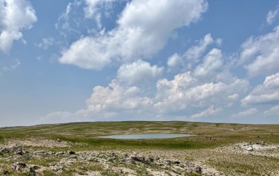
ONE BAD DECISION, ONE GOOD
I managed to get up at 6:30 and on the trail by 8:45, which is, sadly, pretty good for me. I hiked through the meadow to rejoin the trail where I’d found it the previous evening.
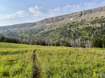
Parting view. My campsite was in the stand on trees on the far right.
From there I followed it north along a bench. Most of the hiking was through meadows with occasional scattered trees. The trail faded away at times, but it was always easy to regain it. It was mostly easy walking, except for one short but steep gully. This stretch features good views to the west, but the Tetons were only barely visible due to the smoke.
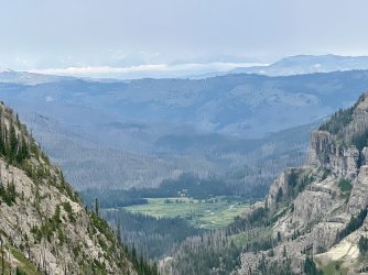
Smoky view
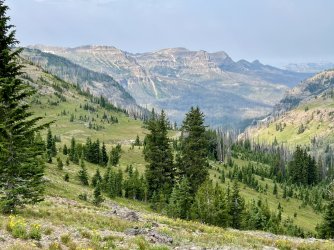
I contoured around a minor drainage and spotted a run of waterfalls on the stream draining Tri County Lake.
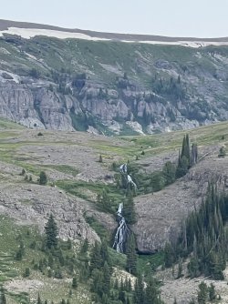
This made me a little twitchy, but it would have been a major event to get down there.
The route from there was through an outrageous wildflower garden. The trail disappeared, but it was obvious where I needed to go. The only difficulty was avoiding stepping on the wildflowers.
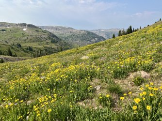
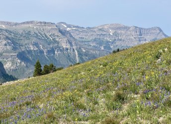
I curved around the base of some cliffs and entered the basin containing Tri County Lake. I arrived at a lovely view of the lake surrounded by cliffs. I stopped there, as I didn’t see a need to walk down to the water.
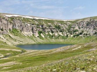
Tri County Lake
After a long break I backtracked and then followed a beaten path parallel to a small stream that starts just below the Continental Divide.
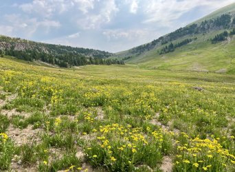
Approaching the Continental Divide
After a break to filter water I returned to the trail and followed it out of the drainage and up to the crest of the ridge. From there, nice but smoky views opened up to the east and southeast, over the Yellowstone River to Younts Peak and Thunder Mountain.
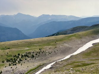
Another smoky view
I headed northwest from there, climbing through open meadows along the Continental Divide. I passed over an unnamed summit, but I left the divide in search of a view of Tri County Lake from above. A few minutes later I found a spectacular view of the lake surrounded by cliffs. The view close to the lake had been nice, but this vantage point was far more scenic.
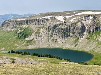
Tri County Lake from above
I hiked north from there, descending into a gap and then climbing to another summit. I descended again, and reached a pair of small tarns in an open landscape with great views to the north and east.
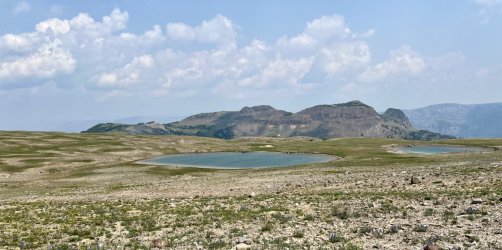
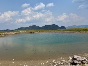
I had lunch there and contemplated my route. My goal was to reach Yellowstone Point, which features a vast view of Yellowstone Meadows and the Thorofare region. I had attempted to bushwhack to Yellowstone Point from below in 2022. That had been a partial success. I reached a spot well below Yellowstone Point that provided a similar view. For some reason though, I still wanted to finish it.
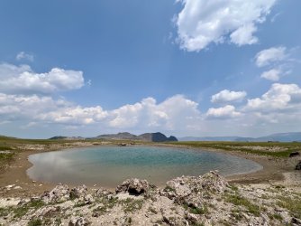
I left the Continental Divide and continued north into the headwaters of Senecio Creek. The walking was mostly easy as I descended gradually along the east side of the creek. Then the creek abruptly turned west, while I continued north. That took me into the beginning of a vast stretch of burned forest. I contended with a lot of deadfall in this stretch. I found an elk trail, which led me north down to a small lake. I originally thought that I would camp near that lake and hike out to Yellowstone Point from there. However, the surroundings were uninspiring. The lake is surrounded by severely burned forest, and it isn’t scenic. I may have settled for it anyway, except that it was horribly buggy. I thought that there would be a great view from the top of the cliffs to the east though. Although it was only a short distance away, getting there required negotiating a horrific maze of deadfall. By the time I reached the cliff I was having second thoughts about my camping plan.
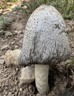
Cool mushroom seen along the way
The view WAS great though. I gazed out across the upper portion of Yellowstone Meadows towards Hawks Rest. It was a little hazy from the smoke, but it was still a great view. Most intriguing was a narrow causeway of a ridge with sheer cliffs extending due to the east. Why hadn’t I gone out there? I even had the spot marked on my map.
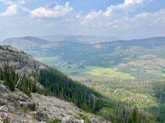
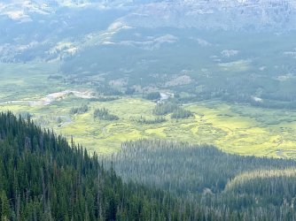
Views of the Yellowstone River from the cliffs
I considered continuing north towards Yellowstone Point, but all I could see was a big mess of fallen trees. Yellowstone Point was over a mile away. It was already late afternoon, and getting there might take hours. I needed to rethink my plan.
I considered camping at the top of the cliff, but there was no water. The small lake had water, but it did not have any other apparent redeeming qualities. The distance between the two places was short, but most of it was a maze of deadfall. The trees that were still standing were all dead, and it was a windy afternoon. Camping anywhere in that area would have been hazardous.
I considered the big picture. I was planning to head back south the next day. So maybe I should just get a head start on that? I thought that I could find a decent place to camp in the headwaters of Senecio Creek.
Did I ever! Hiking back up along Senecio Creek I spotted an agitated bull elk on the hillside above. Apparently he was standing guard, and he did his job well. He barked at me repeatedly to warn the rest of the herd about my presence. I saw a few more elk on the hillside, but I suspect that there were many more.
I took a slightly different route back to avoid some deadfall, staying on the west side of the creek. At one point I looked the east, and I wondered if there was a possible campsite on the crest of the ridge above the creek. If so, it would have a great view over the Yellowstone River. I crossed the creek and walked up there. 5 minutes later, I found an amazing spot with an incredible view. The smoke had begun to fill the Yellowstone River valley, but it was still a great spot. There wasn’t an established campsite, but there was a good spot for the tent among some small fir trees.
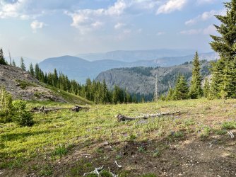
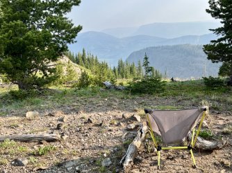
Views from my campsite
I set up there, did some laundry, and had dinner. The smoke, wind, and mosquitoes all increased as the evening progressed. The bugs eventually chased me to the tent. It was a restless night, as the wind howled continuously. I slept on and off. Hours later, I woke and heard a snort outside the tent. I peaked out and saw several elk a short distance away. They bolted when I turned my headlamp on.

