UNFINISHED BUSINESS
I had to make some decisions on the morning of day 7. My original plan was to backpack off trail from Ferry Lake northbound along the Continental Divide. My goal was to go all the way to Yellowstone Point. I had climbed up to “Lower Yellowstone Point” from Atlantic Creek on our 2022 trip. That provided a great view, but I stopped way below the actual top. I was eager to make another attempt at it.
From there I planned to backtrack, but I intended to drop down into the headwaters of the North Fork Buffalo to check out some waterfalls that I’d missed on my 2022 visit. From there I’d hike back to Ferry Lake and on to Marston Pass and the headwaters of the South Fork of the Yellowstone. That would put me in position to climb Younts Peak before heading down Marston Creek to return to the South Fork Shoshone.
There was one problem with my plan. There was a very good chance of afternoon thunderstorms for the next couple of days. That’s not ideal for walking all day above treeline.
I debated my options over breakfast before deciding on a change in plans. I would flip my route around and head for the headwaters of the North Fork Buffalo that morning. I’d camp somewhere along the North Fork Buffalo and then head back up a tributary valley the next day. I had marked a bunch of likely spots for waterfalls in that valley that I wanted to check out. If I could find the route to Tri County Lake I could camp there. After those two days, the weather forecast looked better. From Tri County Lake I would head to Yellowstone Point, before backtracking the following day. The change in plans meant that I might not have time for Younts Peak, but I was ok with that.
I packed up after breakfast and headed back around the east side of Ferry Lake. The wildflowers were astonishing along that stretch, which I enjoyed for the third time in 3 days.
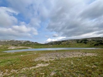
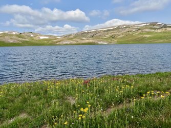
Ferry Lake
At the north end of Ferry Lake I headed west on the Soda Fork Trail, heading towards an unnamed pass. This stretch of trail was very wet and muddy, but it had nice scenery and lots of flowers.
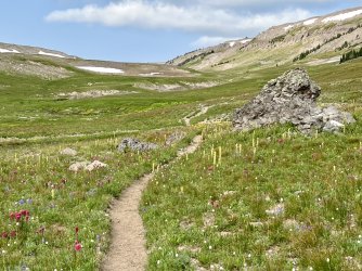

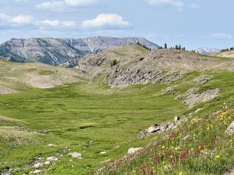
Along the Soda Fork Trail
From the pass I continued down the Soda Fork Trail before leaving it to climb steeply south towards the top of a non-descript hill. I wanted to see Crater Lake, and it looked like that peak would offer a good vantage of it. That was a good choice, as I found a great view from directly above.
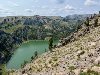
Crater Lake
From there I backtracked, crossed the trail, and headed north through a big meadow. My guidebook mentioned an unofficial trail connecting the North Fork Buffalo headwaters with the Soda Fork Trail, and I was hoping to find it. Unfortunately, the guidebook description is written in the opposite direction, and I wasn’t sure how to get to it from the south. I headed towards the spot that was my best guess, but I didn’t see a trail up to the plateau above. I might have been able to scramble up, but I decided to parallel the base of a steep slope heading west. That worked perfectly, as I stumbled upon the trail at the bottom of the other place where climbing up looked feasible. The trail was steep, but it was a lot easier than scrambling.
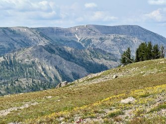
View from the plateau
I reached the top of the plateau and looked back to see another view of Crater Lake in the distance.
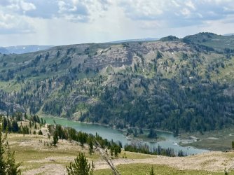
Crater Lake again
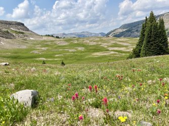
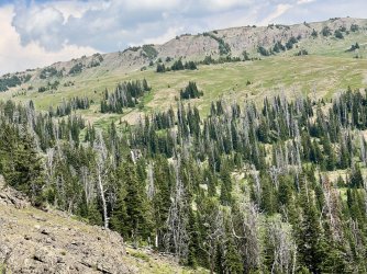
I crossed the meadow and reached the rim of the North Fork Buffalo valley. The valley is guarded by a small band of cliffs that is just enough of an obstacle to create a challenge. Using my GPS, I followed the rim northeast towards a spot where the map suggested a break in the cliffs. When I reached it, I was surprised to find a pretty good trail heading down. It was steep, but it actually had a couple of switchbacks. I had lunch at the bottom in a lovely meadow while I contemplated my route.
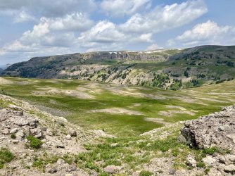
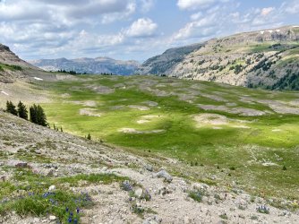

Views from my lunch spot
I headed down from there towards a tributary of the North Fork. It looked like it might have a couple of small waterfalls down in a minor slot canyon. I reached the tributary at one of the spots I’d marked, but I didn’t see much in the way of waterfalls. The canyon itself was interesting though, and I climbed back up along the rim of it. The other spot I’d marked didn’t have much of a waterfall either. A bit farther up I reached a place where it was easy to cross. From there, I headed directly to the North Fork Buffalo.
I reached the infant river right at the uppermost spot that I had marked. There is a small waterfall there, but I suspected that there were more exciting features a short distance downstream.
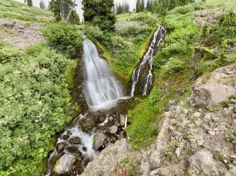
First waterfall on the North Fork Buffalo
I headed that way, following the hillside above the river. It didn’t take long to reach the point that I was most interested in checking out. There was definitely a waterfall down there, so I dropped my pack and found a place to scramble down.
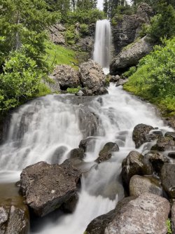
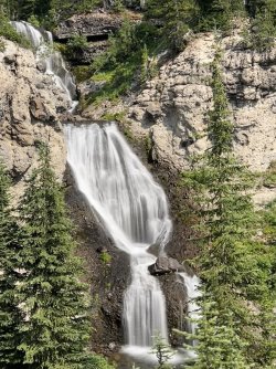
Wow!! I came out right at the base of a stunning waterfall. I spent a lot of time there trying to get photos with my phone. I really wish that I’d been able to bring my DLSR camera and tripod, but adding those 5 pounds to my pack just wasn’t an option.
I headed back up to retrieve my pack and then followed the ridge down, parallel to the river. Before long I veered away from it, back towards the tributary. This time I found a neat waterfall on it.
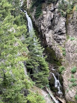
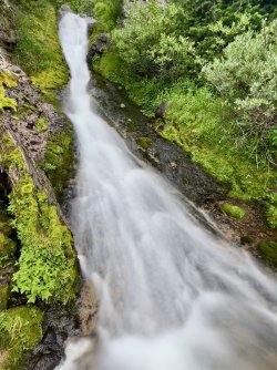
Tributary waterfall
After a few photos I cut back over the river, where I found a pair of small waterfalls. I crossed the river at the base of the upper one and bushwhacked up to an actual trail. The map shows this trail ending farther downstream, but it actually continues all the way to treeline and beyond.
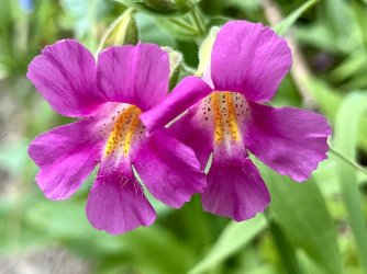
More monkeyflowers
I followed the trail down the valley, parallel to the river. Before long I reached the last waterfall I’d visited in 2022.
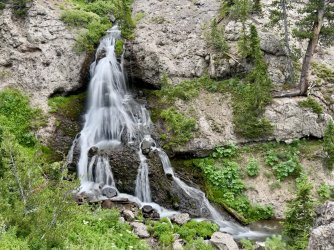
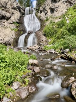
Another waterfall on the North Fork Buffalo
I followed the trail to a crossing of a tributary stream at the base of an elegant waterfall.
The map suggested more waterfalls upstream, so up I went. The climb was incredibly steep, but before long I was able to cut over to the creek at the base of a big drop. There was still more above, and I attempted to climb higher. However, I reached a point where further progress required steep scrambling on rock of questionable reliability. I thought about pushing it, but I decided to head back down.
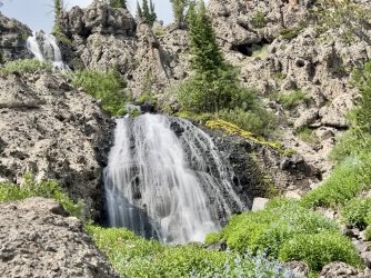
A short distance farther down the valley is a really spectacular waterfall. I headed down from the trail to see it, and this time I was able to get down to the base of it. I spent quite a bit of time at this one before heading back up to the trail.
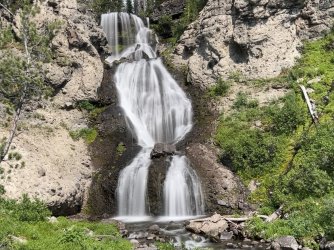
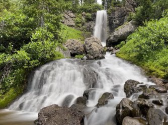
A short distance farther I heard some noise below and looked at the map. That spot looked like it might have a waterfall, but I had skipped it in 2022. Since I was being thorough, I headed back down. Sure enough, there is a pretty nice waterfall there.
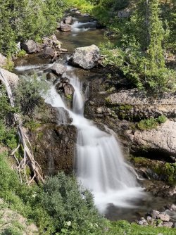
With the waterfalls behind me, there was nothing left to do but find a place to camp. I followed the trail down into a meadow. When I reached the bottom end of it thunder was rumbling. I left the trail there and climbed up onto a minor ridge that looked like it might have a place to camp. I found a couple of marginal spots that would have worked, but I wasn’t thrilled with either of them. Storms seemed imminent, but I decided to press on.
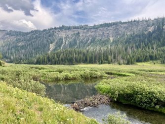
Beaver dam
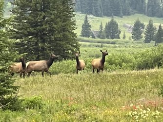
I continued down a steep stretch of trail with lots of loose rock through burned forest. It is a crappy stretch of trail, and it was the third time that I’d hiked it in 3 years. It was a relief when I finally reached the bottom. I reached the edge of another meadow, where I spooked 4 elk. They bolted, and I resumed the hike. I reached a tributary and followed it upstream in search of a campsite. I didn’t find a decent place to camp, but I did stumble upon another waterfall.
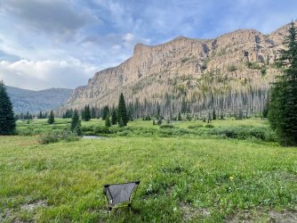
I backtracked to the trail and continued down. As I headed into the next meadow, I noticed a spot on the far side of the river that looked promising. I wasn’t sure it there was an established campsite there, but it looked like I could make it work. I worked my way through the willows down to the river and waded across in flip flops. On the far side I found a well-used campsite with a great view of the river, the meadows, and the surrounding cliffs. There was even a waterfall on a tributary crashing down the cliff above. I set up there and enjoyed a lovely evening. There were storms all around all afternoon and evening, but somehow they all missed me. I couldn’t believe that I had nearly settled for a crappy spot earlier, but I had ended up in a fantastic campsite.
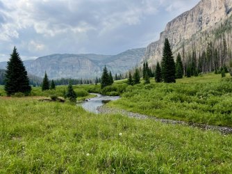
View from my campsite
