TOP OF THE WORLD
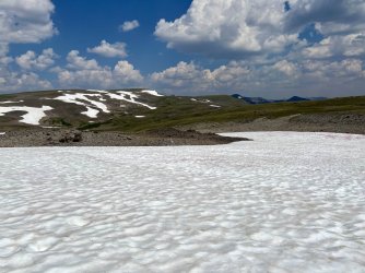
I got up at 7 the next morning, packed up, and backtracked up to the Continental Divide.
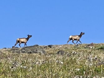
A few minutes later I spooked two elk on the ridge ahead of me. They bolted and reached the top of the next hill in about 20 seconds. It took me 20 minutes to cover the same distance, but they were long gone by the time I arrived.
Late that morning I was startled to see other people on the ridge above me. It was the first complete human being that I had seen since David and I parted ways on that first morning. In fact, there were 10 complete human beings. I think they were boy scouts, or a similar group. We passed near each other on almost the same route and shared a wave. Absolute solitude returned after that brief interlude.


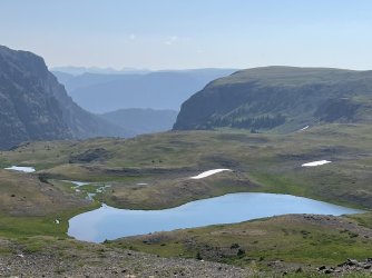
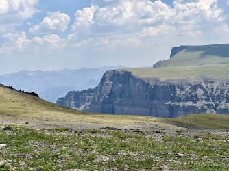
From there I endured a long, occasionally steep climb to a significant summit at about 11,300’. I had a late lunch there and took in the views in every direction. Highlights included the cliffs of Wall Mountain and the remote Younts Peak and Thorofare Mountain. Many miles to the south, I could see the cliffs of the peaks near Brooks Lake.
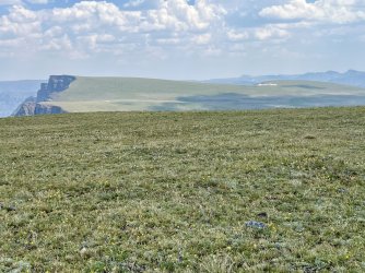
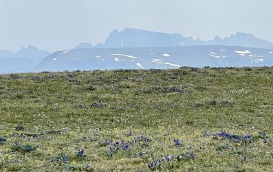

The weather was nice but hot, and there were plenty of clouds around. There weren’t any imminent storms, but the possibility couldn’t be completely ignored. I didn’t linger as long as I might have liked, as it was a long way down to Lost Creek.
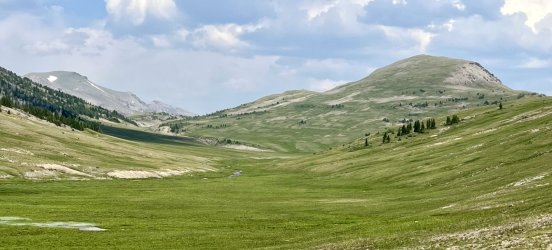
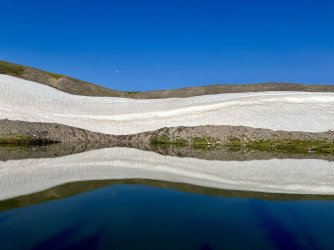
I descended steeply, before leaving the Continental Divide. I followed a spur ridge northwest to an alpine tarn, and then continued down the ridge towards Lost Creek. I dropped down to the creek immediately upstream from where it enters a canyon. That proved to be an ideal place to rock hop, as the stream was braided and shallow. The view up the valley towards Marston Pass is stunning from there.


I climbed the far side to reach the Marston Pass Trail. I headed west, enjoying an easy trail hike. Some parts aren’t exactly easy – there are a surprising number of steep climbs along the way. Still, it was nice to be able to follow a trail for a change.

I had just finished the biggest climb and was turning a corner when I was startled by yet another human being. Good Lord, what was going on today? Where had all of these people come from?
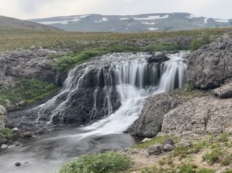
I chatted a bit with this one. Robert was from Powell, Wyoming, outside of Cody. He was doing a similar trip. He had started at Turpin Meadows, bound for the South Fork Shoshone River, intending to follow the Continental Divide for several days. He had hiked up the North Fork Buffalo. A few miles above North Fork Falls he took a wrong turn but didn’t realize it. I had made the same mistake two years ago while hiking up the North Fork, but I realized it pretty quickly. He didn’t. He followed a rough, unmaintained trail up an unnamed tributary of the North Fork. It took him to treeline, and from there he had continued up to the Continental Divide, where he had intended to go all along. He had followed the Divide south almost to Ferry Lake, and he was now looking for a campsite. I suggested camping where we were. I had camped there 2 years ago. It’s not terribly comfortable due to the lumpy ground, but there is a great view of a beautiful waterfall.
He had lots of questions for me, as I had just hiked his intended route. I shared some information, and I also had questions for him. I was particularly curious about the trail he had followed up the tributary of the North Fork Buffalo. He said it was rough but doable, and it passed a bunch of waterfalls. That perked my interest – in fact, I had marked a number of likely waterfalls in that drainage on my map in my GAIA app. He said that he didn’t see a trail towards Tri County Lake. The trail had faded out near treeline, and he had just continued up the drainage to the Continental Divide.
We parted ways, and I continued on towards Ferry Lake. I had planned to spend a couple of nights at Ferry Lake on my trip in 2022, but we didn’t make it there. I was looking forward to finally seeing it.
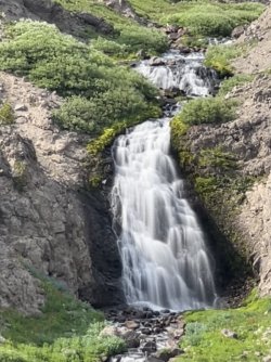
Waterfall above the trail
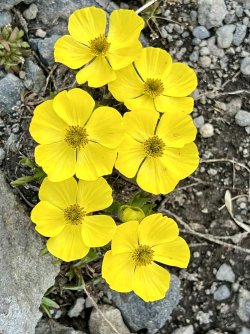
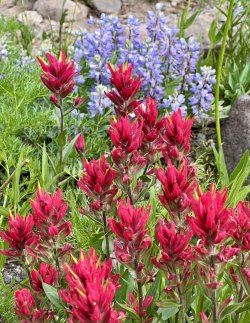
I didn’t have to wait much longer. After crossing the creek just downstream from the waterfall, I climbed one more hill. At the top I got my first glimpse of Ferry Lake. The wildflowers were insane along this stretch, and that continued all the way down to the lake. I followed another trail around the east side of the lake and then hiked west towards the outlet. When I arrived I found a camping area featuring a large clearing, bear boxes, and marginal tent sites. In fact, there was one good spot for a small tent, right in front of the first waterfall on Ferry Lake’s outlet stream.
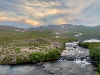
I’m not sure what to call Ferry Lake’s outlet stream. It is unnamed on my map, and the stream doesn’t even have a blue line. That’s odd, as it is a large creek. Another oddity is that it flows into the Lake Fork of the South Fork Buffalo a couple of miles downstream. My map indicates that the Lake Fork is the stream a couple of miles east with the beautiful waterfall that I had passed earlier. It starts up near the Continental Divide, but it doesn’t have a lake. The unnamed tributary starts at Ferry Lake. My guess is that the map is mislabeled. The stream flowing out of Ferry Lake is probably Lake Fork, and the other stream is probably just a tributary.
Whether it has a name or not, it is spectacular. That first waterfall is only 15’ or so, but it is pretty. A short distance downstream is a stunning, 40’ waterfall. There are many more waterfalls downstream from there. I was looking forward to exploring them the next day.

The First two waterfalls below Ferry Lake
I enjoyed another lovely sunset with alpenglow over Ferry Lake that night before heading to the tent. I had trouble sleeping that night, due to the excitement of the waterfall exploration waiting for me the next day.
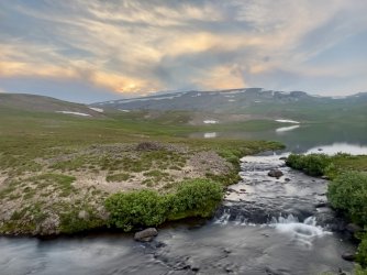
Ferry Lake outlet

