SteveR
Member
- Joined
- Sep 22, 2016
- Messages
- 1,017
It's been a long while since I put up a trip report...
All of a sudden it is August!. How did July go by so fast?
Immersed in home renos as we have been for two months (scope creep!) we have done a bit less camping and hiking than usual, so far this summer. It hadn't helped that July in Calgary and the local mountains was 3x wetter than the norm, close to a record amount in fact. Good for the watersheds, sometimes not so great for the outdoors minded.
That wet theme continued early last week as we drove south in pouring rain and fog to the annual Rocky Mountain Ramblers campout at Belly River Group camp, organized by our friend John. After a dreary night, we awoke to rapidly clearing skies, followed by 3 days pf perfect hiking weather.
The first day's destination was the very popular Bertha Lake.
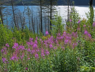
Waterton Lake as seen from the busy trail. Just beyond here, we spotted a grizzly on the hillside 200m off the trail, unconcernedly feeding on berries.
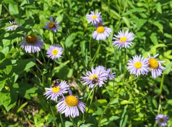
Busy bees in a section of unburnt forest:
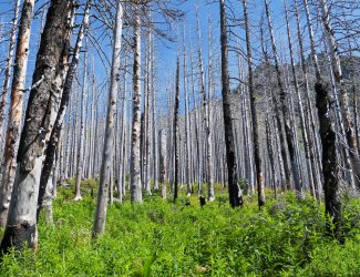
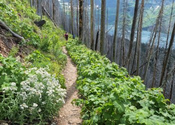
Nature's recovery in progress:
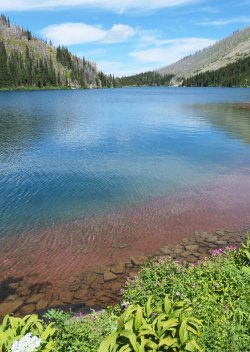
Leaving the crowds behind in the distance, on the 4km walk around the lake:
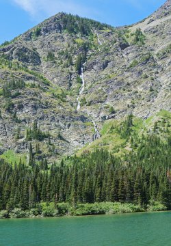
With all the recent rain, the waterfalls were in fine form:
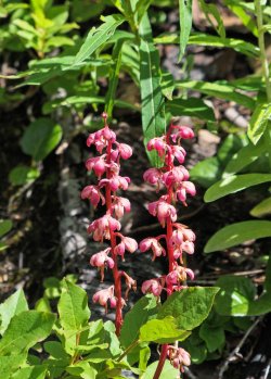
I thought that this was Coralroot, but my friend Arnold the flower guy set me straight- it's Common Pink Wintergreen:
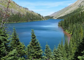
View from the far end of Bertha Lake:
After a nice evening around the campfire swapping tales, and then a great sleep, off to Carthew Summit the next morning.
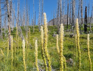
A slow grind in the shade up many sweeping switchbacks led to the beargrass zone, with most of the flowers already going to seed:
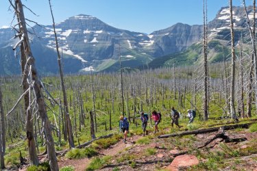
Onwards and upwards following a stop at Summit Lake, somewhat visible through the trees at right:
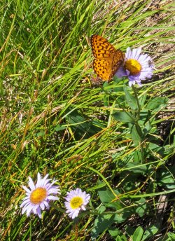
Along the way, flowers and many hard to photograph butterflies:
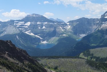
Looking south across the border at Lakes Wurdeman and Nooney in Glacier National Park. Is @chandlerwest somewhere out there?
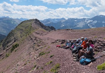
Lunchtime at Carthew Summit, really more of a pass:
Looking out towards Waterton townsite and the prairies in the distance. The one-way through hike down past the lakes and continuing to the town is very popular. Been there done that several times though, so we are heading back the way we came:
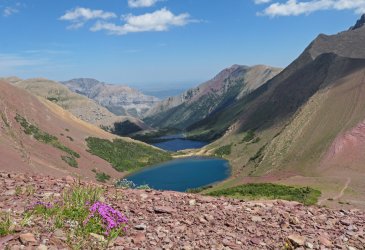
Returning to grab packs after a short ridgewalk:
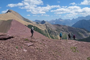
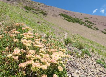
A yellow variant of Sulfur Plant:
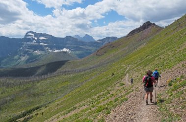
Back down we go:
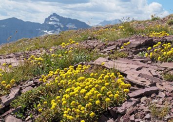
The more common variety of Sulfur Plant that we see further north:
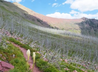
Beargrass, and a look back at the summit:
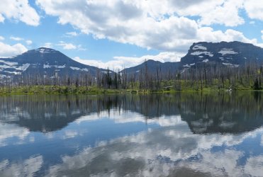
Glacier NP peaks reflected at another pit stop by Summit Lake:
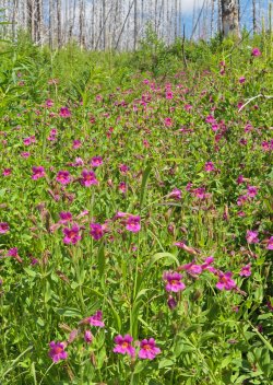
Dropping down towards the trailhead at Cameron Lake, the profuse Monkeyflowers that delineated all the many small rivulets were now in full sun. I took way too many photos, here is but one:
Second to last switchback of a great day out:
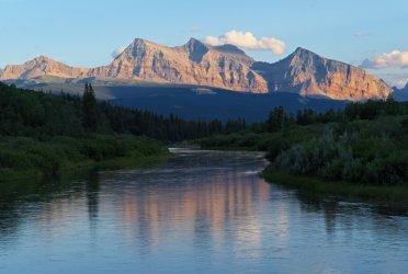
The campground is located not far north of the border along the Chief Mountain Hwy. A short evening walk by the river gave nice views towards peaks in Glacier, before heading back to the campfire circle to catch up to what all the various sub-groups got up to during the day:
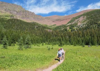
Our final day was at Lineham Ridge, shown below on the horizon from the large meadow reached after a mostly shaded walk though the largely unburnt Rowe Creek valley:
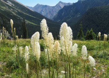
A steep initial grunt led to an abundance of Beargrass:
And, slopes laden with Beardtongue and yellow Columbine:
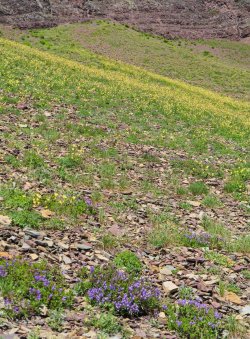
A quick stop at treeline:
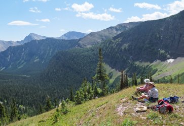
A look at the route ahead:
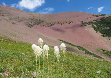
A fine lunch spot:
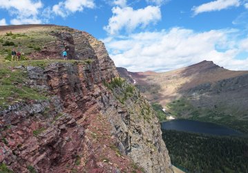
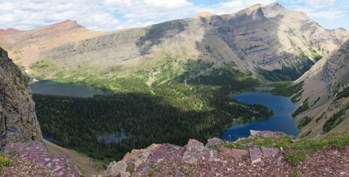
The hard to get to Lineham Lakes:
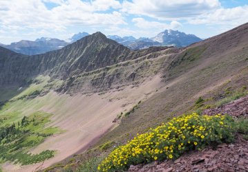
Onwards after lunch to the highpoint of the trail:
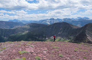
Arriving at the crest:
Rowe Lakes, an easier option off the same trail. Our approach took us very close to the lower one:
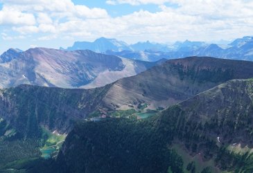
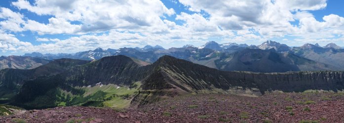
150 degree panorama of a sea of peaks. The far ones are all in Glacier:
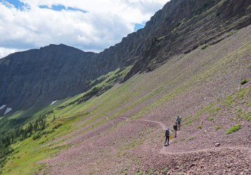
Back down into and around the basin:
I got lucky again with this shot: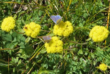
Back at the meadow and it's gurgling brook, we chilled hot feet before entering the forest for some welcome shade on the easy walk out. A fitting end to three days of great hiking!
All of a sudden it is August!. How did July go by so fast?
Immersed in home renos as we have been for two months (scope creep!) we have done a bit less camping and hiking than usual, so far this summer. It hadn't helped that July in Calgary and the local mountains was 3x wetter than the norm, close to a record amount in fact. Good for the watersheds, sometimes not so great for the outdoors minded.
That wet theme continued early last week as we drove south in pouring rain and fog to the annual Rocky Mountain Ramblers campout at Belly River Group camp, organized by our friend John. After a dreary night, we awoke to rapidly clearing skies, followed by 3 days pf perfect hiking weather.
The first day's destination was the very popular Bertha Lake.
Waterton Lake as seen from the busy trail. Just beyond here, we spotted a grizzly on the hillside 200m off the trail, unconcernedly feeding on berries.

Busy bees in a section of unburnt forest:

Nature's recovery in progress:

Leaving the crowds behind in the distance, on the 4km walk around the lake:

With all the recent rain, the waterfalls were in fine form:

I thought that this was Coralroot, but my friend Arnold the flower guy set me straight- it's Common Pink Wintergreen:

View from the far end of Bertha Lake:

After a nice evening around the campfire swapping tales, and then a great sleep, off to Carthew Summit the next morning.
A slow grind in the shade up many sweeping switchbacks led to the beargrass zone, with most of the flowers already going to seed:

Onwards and upwards following a stop at Summit Lake, somewhat visible through the trees at right:

Along the way, flowers and many hard to photograph butterflies:

Looking south across the border at Lakes Wurdeman and Nooney in Glacier National Park. Is @chandlerwest somewhere out there?

Lunchtime at Carthew Summit, really more of a pass:

Looking out towards Waterton townsite and the prairies in the distance. The one-way through hike down past the lakes and continuing to the town is very popular. Been there done that several times though, so we are heading back the way we came:

Returning to grab packs after a short ridgewalk:

A yellow variant of Sulfur Plant:

Back down we go:

The more common variety of Sulfur Plant that we see further north:

Beargrass, and a look back at the summit:

Glacier NP peaks reflected at another pit stop by Summit Lake:

Dropping down towards the trailhead at Cameron Lake, the profuse Monkeyflowers that delineated all the many small rivulets were now in full sun. I took way too many photos, here is but one:

Second to last switchback of a great day out:

The campground is located not far north of the border along the Chief Mountain Hwy. A short evening walk by the river gave nice views towards peaks in Glacier, before heading back to the campfire circle to catch up to what all the various sub-groups got up to during the day:

Our final day was at Lineham Ridge, shown below on the horizon from the large meadow reached after a mostly shaded walk though the largely unburnt Rowe Creek valley:

A steep initial grunt led to an abundance of Beargrass:

And, slopes laden with Beardtongue and yellow Columbine:

A quick stop at treeline:

A look at the route ahead:

A fine lunch spot:

The hard to get to Lineham Lakes:

Onwards after lunch to the highpoint of the trail:

Arriving at the crest:

Rowe Lakes, an easier option off the same trail. Our approach took us very close to the lower one:

150 degree panorama of a sea of peaks. The far ones are all in Glacier:

Back down into and around the basin:

I got lucky again with this shot:

Back at the meadow and it's gurgling brook, we chilled hot feet before entering the forest for some welcome shade on the easy walk out. A fitting end to three days of great hiking!
Last edited:
