priz1234
Member
- Joined
- Jun 10, 2020
- Messages
- 314
A 30 Mile trip across Cedar mountain from Strawberry Point down to Woods Ranch. I expected to see a decent amount of mountain bikers along the trail but besides the few miles right around Cascade Falls we only saw a handful of other people and two horses. Although that also could have been the rain that was in the forecast. Luckily, the rain never came but instead we got some pretty serious wind. Which is always nice when you are up on a rim with a lot of views. Other than the wind, it was a great trip. My parents ended up coming along for the first 10 miles of the first day to Cascade falls and then picked us up at Woods Ranch which was nice since we didn't really have to deal with a car shuttle.
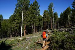
First few miles up and down some small hills through the forest.
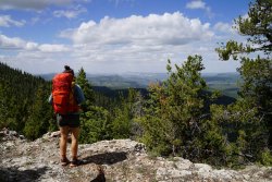
After a few miles we were rewarded with some hazy views overlooking Zion
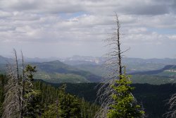
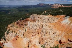
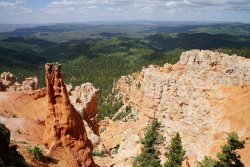
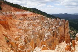
The next section of the hike was one of the best parts of the trip, there were views showing us where we would be heading but also had some great rock formations similar to what you would see in Bryce canyon but on a smaller scale.
After about 10 Miles we hit the Cascade Falls parking lot which was packed. Probably the most people I've ever seen there. This was also where we left my parents but another benefit of having them there was we could refill our water from their car. We wouldn't be hitting any water before camp and saved us the mile trip down to the waterfall.
Looking back towards where we started
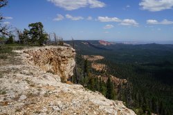
Some more great formations along this section
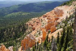
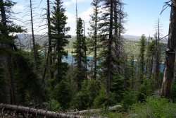
Our firs views of Navajo lake through the trees
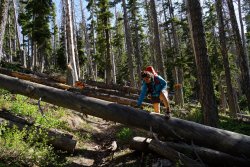
Another reason we may not have seen any mountain bikers
Another great view of the lake
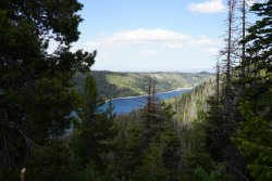
We camped a little past his view up on top of the mesa near Navajo Peak. The next morning we started descending towards the Te-Ah Campground and got some even better views of the lake.
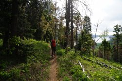
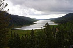
We were expecting to fill up water again at the campground but didn't find any and the campground was closed. Luckily it was not a very warm day and we had enough water for the remaining 12 miles. We did end up finding some small streams along the way though where we filled up some of our water. This section from the Te-ah Campground to Websters flat was mainly through the trees but we did have a few nice views
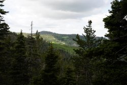
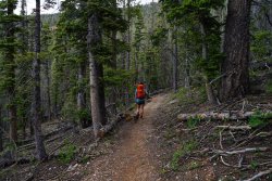
There were also some spots I decided I needed to come back to this fall
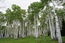
After we made it to the Websters Flat road it was basically just more aspens all of the way until we hit the road we needed to hike down to get to Woods Ranch. I think you could actually drive all of the way up this last section of road and save yourself about 3 miles.
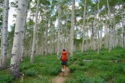
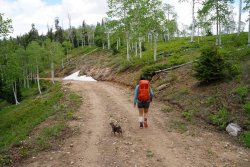
First few miles up and down some small hills through the forest.

After a few miles we were rewarded with some hazy views overlooking Zion


The next section of the hike was one of the best parts of the trip, there were views showing us where we would be heading but also had some great rock formations similar to what you would see in Bryce canyon but on a smaller scale.


After about 10 Miles we hit the Cascade Falls parking lot which was packed. Probably the most people I've ever seen there. This was also where we left my parents but another benefit of having them there was we could refill our water from their car. We wouldn't be hitting any water before camp and saved us the mile trip down to the waterfall.
Looking back towards where we started

Some more great formations along this section

Our firs views of Navajo lake through the trees

Another reason we may not have seen any mountain bikers

Another great view of the lake

We camped a little past his view up on top of the mesa near Navajo Peak. The next morning we started descending towards the Te-Ah Campground and got some even better views of the lake.


We were expecting to fill up water again at the campground but didn't find any and the campground was closed. Luckily it was not a very warm day and we had enough water for the remaining 12 miles. We did end up finding some small streams along the way though where we filled up some of our water. This section from the Te-ah Campground to Websters flat was mainly through the trees but we did have a few nice views


There were also some spots I decided I needed to come back to this fall

After we made it to the Websters Flat road it was basically just more aspens all of the way until we hit the road we needed to hike down to get to Woods Ranch. I think you could actually drive all of the way up this last section of road and save yourself about 3 miles.


