- Joined
- Dec 23, 2013
- Messages
- 4,295
@Ugly and @regehr are hauling me up to Maybird Gulch in two weeks, so for the past four weeks I've been trying to up my game with some hikes that I think will allow me to make it to Maybird. Fat chance of that!  Yesterday's hike was a loop hike of approximately 12 miles from my house, up Mount Van Coot, then east along the Van Cott ridgeline, up the steep slope to the Black Mountain ridgeline from a saddle at the head of South Fork, then east along the Black Mountain ridgeline until I could get a good picture of Grandview Peak, then I stopped for lunc before returning home along the south ridgeline of City Creek Canyon and up and over the Avenue Twin Peaks. This was a long day at 10 hours and 38 minutes, and I was pooped when I got home. Also after lunch, the wind really picked up and I had to chase down my bicycle cap three times, the last being around the west side of the south Twin before I got smart enough to put in my kilt pocket.
I had to head out early on this one because they were running the Salt Lake Marathon on Saturday, and I live in a neighborhood that essentially gets closed off for three hours while they do the race. So up at 4:00 am and on the road by 5:00 am to miss the 5:30 am closing of 11th Avenue for the cycling part of the marathon that starts an hour before the runners take off. I made my way up from 9th to 11th, then headed east along 11th as volunteers and police were getting the route ready. I dropped down to Dry Canyon and then onto climbing Van Cott.
My camera rotation found me at the Canon Rebel XS, which is considered and entry level Rebel without all the bells and whistles of the normal Rebel line. It has 10.2 MP sensor and was released by Canon back in 2008. Right after I started climbing up and out of Dry Canyon, I began to get a error message on the XS that said "ERR 99 shooting is not possible please remove and then reinstall the battery." So every picture that I took with the SX, I had to disengage the battery and put it back in, and I took over 500 pictures with the SX on this hike. Then by the time I got to the top of Black Mountain Ridge, the on/off switch started getting finicky. Oh well, maybe that is why the camera was so cheap of Ebay? Not sure I would recommend the SX. I also took my trusty Canon PowerShot SX150 IS, which I used for 105 pics.
Oh, I would be remiss if I didn't mention the glacier lilies along the Van Cott Ridge. The were simply tremendous! The were everywhere. The Van Cott Ridge is the best place that I have seen for the lilies here along the Wasatch. Worth one's time to go and check them out before they fade and shrivel up.
This is going to be a long report so sorry about that.
Here is what I saw yesterday:
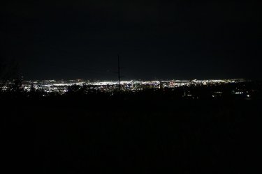
A bit shakey, but the Salt Lake City lights around 5:15 am, from 11th Avenue
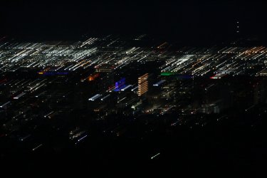
I liked this shot towards downtown SLC. Kind of has a modern art look about it.
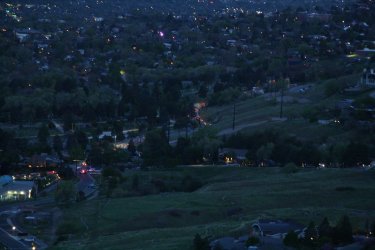
The cyclists started at 6:00 am, and you can see them (little red lights) heading up Virginia Street and turning west into 11th Avenue.
I had just started heading up the first climb of Van Cott at this point
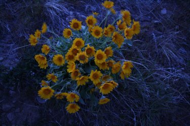
Some before dawn arrowleaf balsamroot along the trail - still a wee bit shakey.
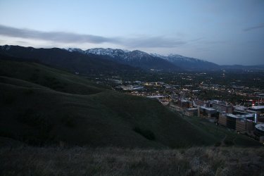
The pre-dawn Wasatch Front as i am heading up the west ridge of Van Cott.
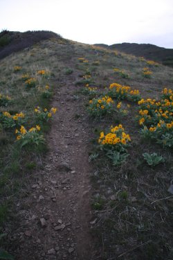
Lots of balsamroot down low, a significant increase from last week
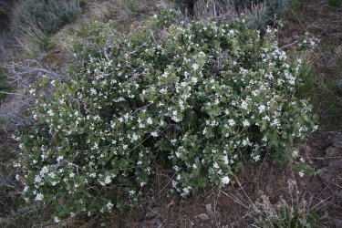
First Utah serviceberry of the season
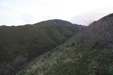
Black Mountain Ridge above, where I hope to end up at some point later in the day
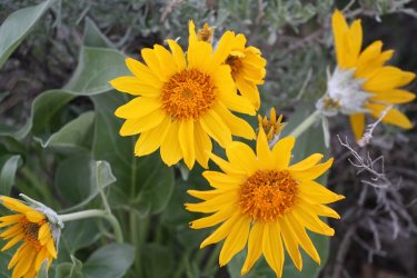
A better shot, with a little more light to work with, of the balsamroot
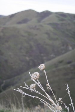
Thistles and Twin Peaks
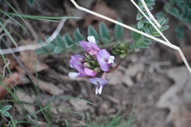
Some vetch
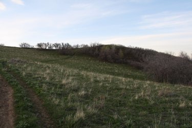
The summit of Van Cott ahead. It was now 6:00 am and the runners were starting the marathon, but I was now in a position where
I could not see them on their route below.
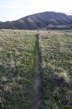
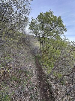
The Van Cott Ridge Trail
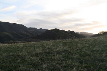
The Van Cott Ridge ahead. This perspective gives you a good idea of the number of humps that are along the ridgeline
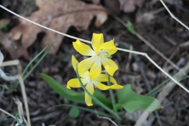
First of may glacier lilies on this hike
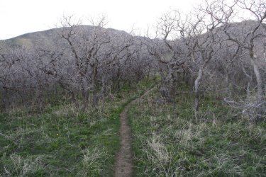
Plenty of scrub oak too along the ridgeline
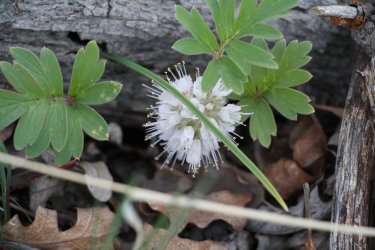
A western waterleaf
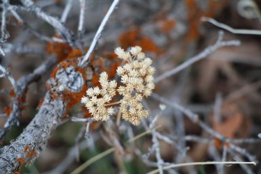
Some 2024 pearly everlasting
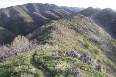
Good view, looking east, of where I am headed.
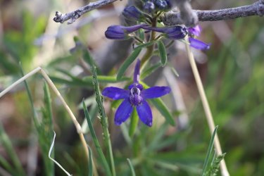
Larkspur
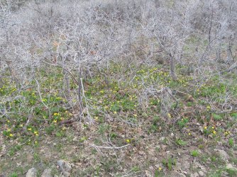
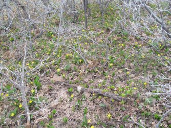
Look at all the glacier lilies! Wonderful! It was like this almost across the entire ridge
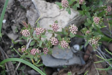
Bastard toadflax
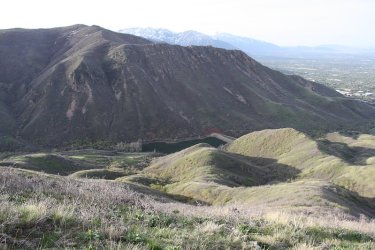
Mount Wire across Red Butte Canyon, with Red Butte Reservoir below
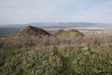
Making some distance across the ridge
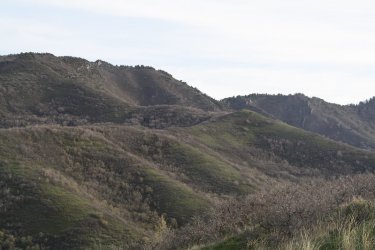
A zoomed in look at the small ridge that I'll be climbing to get to the top of Black Mountain. Notice that lone tree on the first hill.
I'll be aiming for that after I get to the end of the Van Cott Ridge. The South Fork Canyon is below.
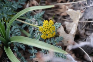
Spring parsley
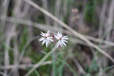
Woodland-star
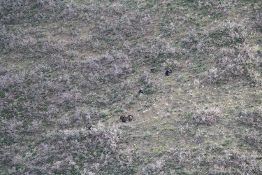
Stopped and pulled out my zoom lens for some turkeys that were gobbling on the opposite slope across South Fork Canyon. The
gobblers were strutting their stuff while the hens paid them little mind. I tried to strut my stuff in my kilt, but both sexes just ignored
me.
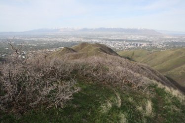
Getting further away from the valley
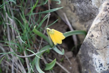
A yellow bell
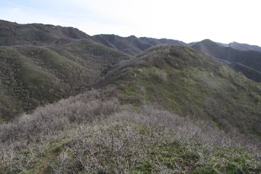
A couple more humps to cross before heading up Black Mountain Ridge.
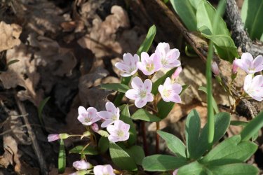
Spring Beauties
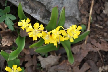
A group of glacier lilies that I liked
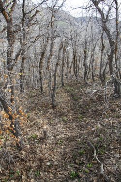
The trail gets a little ambiguous towards the east end of the ridge
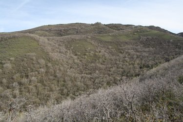
Not looking forward that climb. Can you see the lone tree on the hill?
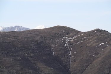
Zoomed in on the beacon on Mount Wire, with Mount Olympus and Lone Peak just over the Mount Wire ridgeline
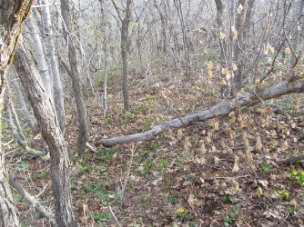
Uh, I think we might need a trail crew.
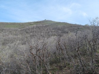
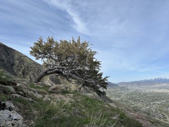
The lone tree, or what I refered to as Lone Tree Hill. I'm shooting for that tree.
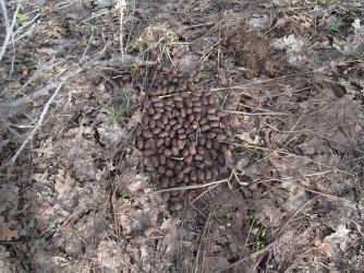
Elk frequent the area
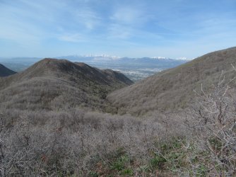
A look back down the Van Cott Ridge and South Fork Canyon
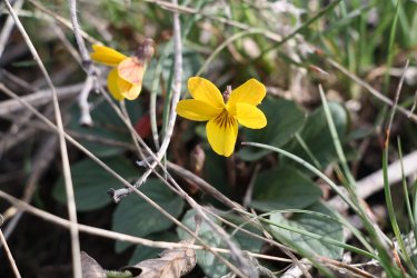
Goosefoot violet
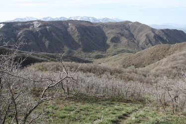
Nice view of the Mount Wire Ridge and Wildcat Ridge beyond, with Red Butte Canyon below
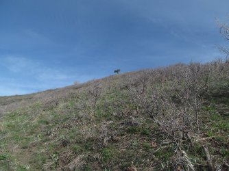
Am I getting any closer? Tuckered out at this point. I could use a nap!
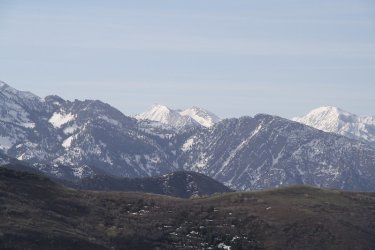
Zoomed in on North and South Thunder Mountains, with Triangle Peak, Mount Olympus and Lone Peak sharing the image.
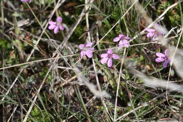
Common storksbill
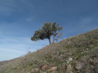
Hallelujah, I am almost there.
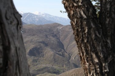
View of Mount Wire, Mount Olympus, and Lone Peak through Lone Tree on Lone Tree Hill
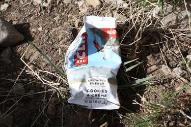
I had a Cookies & Creme Cliff Bar at Lone Tree. This was the first one of this flavor that I have tried, and I thought it was good.
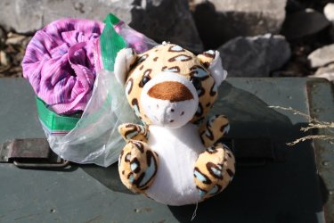
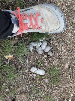
There is a geo cache under the lone tree and this was inside it.
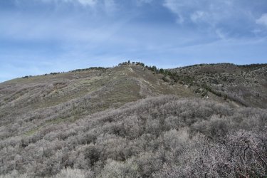
The tree at the center of the hill at the upper middle of the image is what I am shooting for next. Knees don't fail me now!
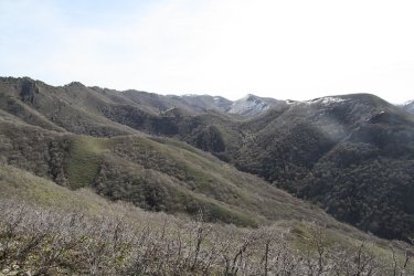
View to the east towards Elk Hollow and upper Red Butte Canyon, looking towards Lookout Peak
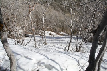
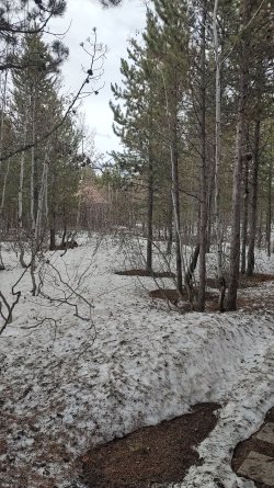
Started across the large snow field, and sunk in to my crotch! I retreated to find another route. God help me on Maybird! @Ugly
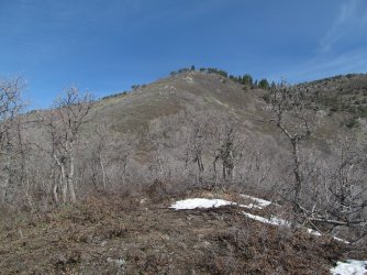
After re-routing, I still have a ways to go the get to the second tree
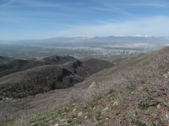
Trying to catch my breath with the Van Cott Ridge, South Fork Canyon, unnamed ridge, and North Fork Canyon below
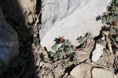
A Johnson's Jumping Spider
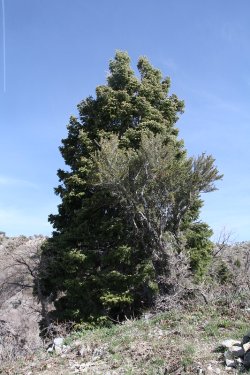
Arriving at the second tree. I was crawling on all fours about this time @Bob
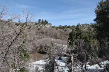
That much further to go to reach the top of the ridge
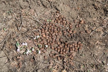
Gotta take the sweet with the sour
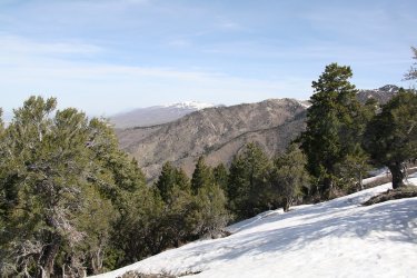
Reached to top of the Black Mountain Ridge - looking north
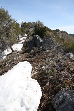
I popped out on the ridge with no view of Grandview Peak, so I headed east along the
ridge until I could get a shot of the mountain.
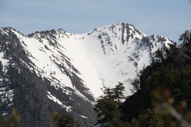
Grandview Peak
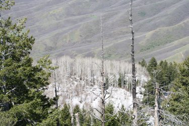
Now heading back west along the ridge and looking down on the leafless aspen trees below
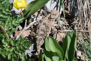
First of three horned lizards on the day
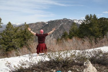
Ridge shot, with Burro Peak across the canyon
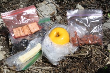
Lunch consisted of an opal apple, some wheat thins, habanero cheese, habanero almonds, and mini Oreos for dessert.
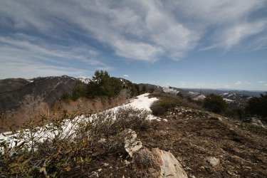
Wide angle shot lookin east. The Uintas are way off in the distance on the right of the image.
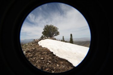
Ultra wide angle shot looking west from the Oquirrh Range to Antelope Island
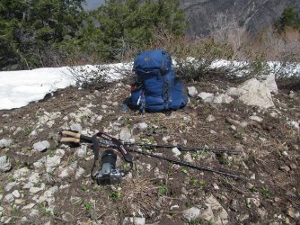
My day pack, hiking sticks, and the finicky Canon Rebel XS
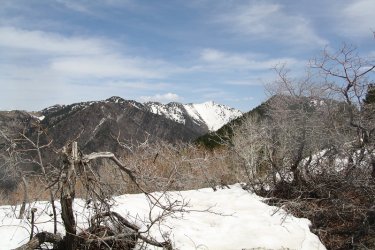
Another shot of Burro Peak and Grandview on my way down
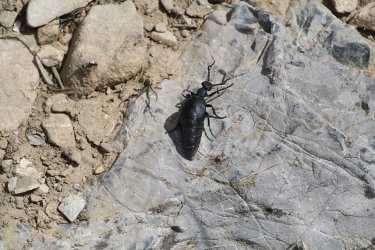
A short-winged blister beetle. Should I touch it?
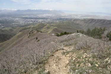
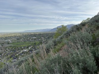
Starting to come off the ridge with a view that takes in North Fork Canyon, the Avenues Twin Peaks, and City Creek Canyon, along
with the Salt Lake Valley.
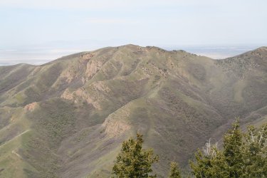
The Dude Benchmark, where I ate my lunch on the summit the previous weekend
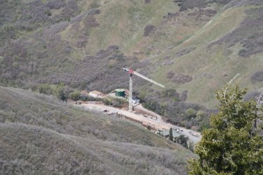
Construction on the water treatment plant below in City Creek Canyon
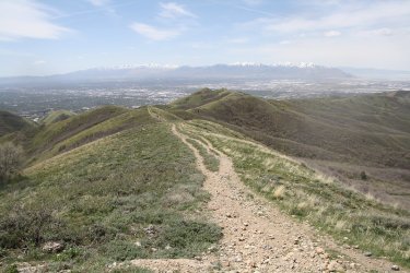
The south ridge of City Creek Canyon, heading towards the Avenues Twin Peaks
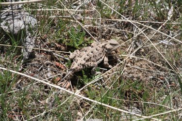
Second horned lizard of the day
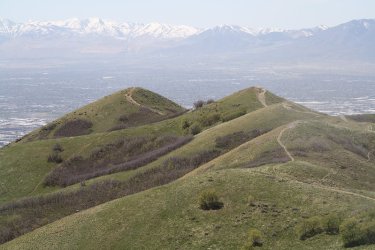
The Avenues Twin Peaks
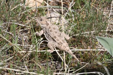
Third and final horned lizard of the day
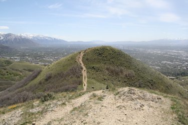
On the north summit, looking over at the south summit of the Avenues Twin Peaks - my last hill to climb.
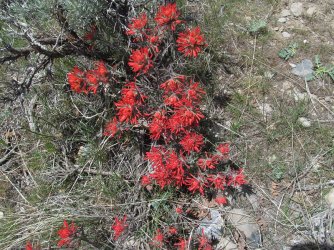
Some Indian paintbrush on the south summit
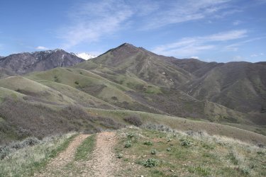
View of a good portion of my route from the summit of the south twin
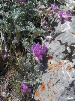
Vetch
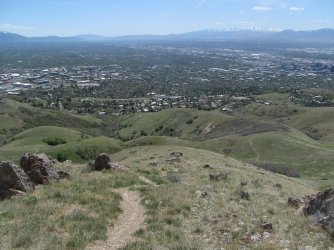
Heading down the south twin towards the valley
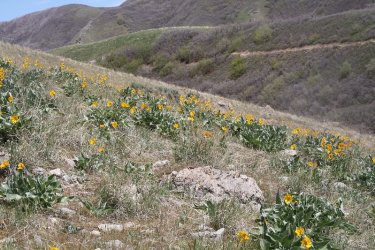
Back in balsamroot territory
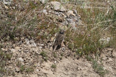
a vesper sparrow kept me company for awhile heading off the south twin
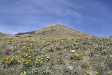
Balsamroot and the south twin
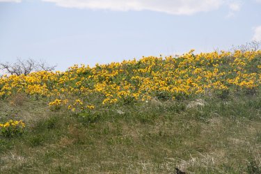
Nice patch of arrowleaf balsamroot
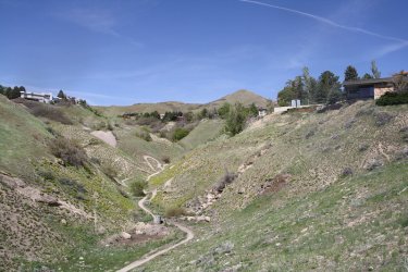
Hitting the city streets now and heading home. I stopped to look up Perry's Hollow to the south summit of the Avenues Twin Peaks.
I think you can see a glimpse of the north summit too if you look closely.
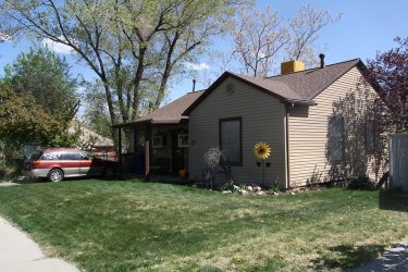
Home sweet home!
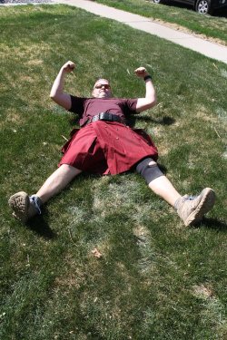
I think I might be trying to flex. I definitely needed help getting up after this shot.

Dinner would be a Hawaiian pizza. Sorry @kwc .

Veggies added and cooked.
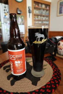
And to wash it all down, we have an 825 State Stout from EPIC Brewing.
The End.
I had to head out early on this one because they were running the Salt Lake Marathon on Saturday, and I live in a neighborhood that essentially gets closed off for three hours while they do the race. So up at 4:00 am and on the road by 5:00 am to miss the 5:30 am closing of 11th Avenue for the cycling part of the marathon that starts an hour before the runners take off. I made my way up from 9th to 11th, then headed east along 11th as volunteers and police were getting the route ready. I dropped down to Dry Canyon and then onto climbing Van Cott.
My camera rotation found me at the Canon Rebel XS, which is considered and entry level Rebel without all the bells and whistles of the normal Rebel line. It has 10.2 MP sensor and was released by Canon back in 2008. Right after I started climbing up and out of Dry Canyon, I began to get a error message on the XS that said "ERR 99 shooting is not possible please remove and then reinstall the battery." So every picture that I took with the SX, I had to disengage the battery and put it back in, and I took over 500 pictures with the SX on this hike. Then by the time I got to the top of Black Mountain Ridge, the on/off switch started getting finicky. Oh well, maybe that is why the camera was so cheap of Ebay?
Oh, I would be remiss if I didn't mention the glacier lilies along the Van Cott Ridge. The were simply tremendous! The were everywhere. The Van Cott Ridge is the best place that I have seen for the lilies here along the Wasatch. Worth one's time to go and check them out before they fade and shrivel up.
This is going to be a long report so sorry about that.
Here is what I saw yesterday:

A bit shakey, but the Salt Lake City lights around 5:15 am, from 11th Avenue

I liked this shot towards downtown SLC. Kind of has a modern art look about it.

The cyclists started at 6:00 am, and you can see them (little red lights) heading up Virginia Street and turning west into 11th Avenue.
I had just started heading up the first climb of Van Cott at this point

Some before dawn arrowleaf balsamroot along the trail - still a wee bit shakey.

The pre-dawn Wasatch Front as i am heading up the west ridge of Van Cott.

Lots of balsamroot down low, a significant increase from last week

First Utah serviceberry of the season

Black Mountain Ridge above, where I hope to end up at some point later in the day

A better shot, with a little more light to work with, of the balsamroot

Thistles and Twin Peaks

Some vetch

The summit of Van Cott ahead. It was now 6:00 am and the runners were starting the marathon, but I was now in a position where
I could not see them on their route below.

The Van Cott Ridge Trail

The Van Cott Ridge ahead. This perspective gives you a good idea of the number of humps that are along the ridgeline

First of may glacier lilies on this hike

Plenty of scrub oak too along the ridgeline

A western waterleaf

Some 2024 pearly everlasting

Good view, looking east, of where I am headed.

Larkspur


Look at all the glacier lilies! Wonderful! It was like this almost across the entire ridge

Bastard toadflax

Mount Wire across Red Butte Canyon, with Red Butte Reservoir below

Making some distance across the ridge

A zoomed in look at the small ridge that I'll be climbing to get to the top of Black Mountain. Notice that lone tree on the first hill.
I'll be aiming for that after I get to the end of the Van Cott Ridge. The South Fork Canyon is below.

Spring parsley

Woodland-star

Stopped and pulled out my zoom lens for some turkeys that were gobbling on the opposite slope across South Fork Canyon. The
gobblers were strutting their stuff while the hens paid them little mind. I tried to strut my stuff in my kilt, but both sexes just ignored
me.

Getting further away from the valley

A yellow bell

A couple more humps to cross before heading up Black Mountain Ridge.

Spring Beauties

A group of glacier lilies that I liked

The trail gets a little ambiguous towards the east end of the ridge

Not looking forward that climb.
 Can you see the lone tree on the hill?
Zoomed in on the beacon on Mount Wire, with Mount Olympus and Lone Peak just over the Mount Wire ridgeline

Uh, I think we might need a trail crew.

The lone tree, or what I refered to as Lone Tree Hill. I'm shooting for that tree.

Elk frequent the area

A look back down the Van Cott Ridge and South Fork Canyon

Goosefoot violet

Nice view of the Mount Wire Ridge and Wildcat Ridge beyond, with Red Butte Canyon below

Am I getting any closer? Tuckered out at this point. I could use a nap!

Zoomed in on North and South Thunder Mountains, with Triangle Peak, Mount Olympus and Lone Peak sharing the image.

Common storksbill

Hallelujah, I am almost there.

View of Mount Wire, Mount Olympus, and Lone Peak through Lone Tree on Lone Tree Hill

I had a Cookies & Creme Cliff Bar at Lone Tree. This was the first one of this flavor that I have tried, and I thought it was good.

There is a geo cache under the lone tree and this was inside it.

The tree at the center of the hill at the upper middle of the image is what I am shooting for next. Knees don't fail me now!

View to the east towards Elk Hollow and upper Red Butte Canyon, looking towards Lookout Peak

Started across the large snow field, and sunk in to my crotch! I retreated to find another route. God help me on Maybird! @Ugly

After re-routing, I still have a ways to go the get to the second tree

Trying to catch my breath with the Van Cott Ridge, South Fork Canyon, unnamed ridge, and North Fork Canyon below

A Johnson's Jumping Spider

Arriving at the second tree. I was crawling on all fours about this time @Bob

That much further to go to reach the top of the ridge

Gotta take the sweet with the sour

Reached to top of the Black Mountain Ridge - looking north

I popped out on the ridge with no view of Grandview Peak, so I headed east along the
ridge until I could get a shot of the mountain.

Grandview Peak

Now heading back west along the ridge and looking down on the leafless aspen trees below

First of three horned lizards on the day

Ridge shot, with Burro Peak across the canyon

Lunch consisted of an opal apple, some wheat thins, habanero cheese, habanero almonds, and mini Oreos for dessert.

Wide angle shot lookin east. The Uintas are way off in the distance on the right of the image.

Ultra wide angle shot looking west from the Oquirrh Range to Antelope Island

My day pack, hiking sticks, and the finicky Canon Rebel XS

Another shot of Burro Peak and Grandview on my way down

A short-winged blister beetle. Should I touch it?

Starting to come off the ridge with a view that takes in North Fork Canyon, the Avenues Twin Peaks, and City Creek Canyon, along
with the Salt Lake Valley.

The Dude Benchmark, where I ate my lunch on the summit the previous weekend

Construction on the water treatment plant below in City Creek Canyon

The south ridge of City Creek Canyon, heading towards the Avenues Twin Peaks

Second horned lizard of the day

The Avenues Twin Peaks

Third and final horned lizard of the day

On the north summit, looking over at the south summit of the Avenues Twin Peaks - my last hill to climb.

Some Indian paintbrush on the south summit

View of a good portion of my route from the summit of the south twin

Vetch

Heading down the south twin towards the valley

Back in balsamroot territory

a vesper sparrow kept me company for awhile heading off the south twin

Balsamroot and the south twin

Nice patch of arrowleaf balsamroot

Hitting the city streets now and heading home. I stopped to look up Perry's Hollow to the south summit of the Avenues Twin Peaks.
I think you can see a glimpse of the north summit too if you look closely.

Home sweet home!

I think I might be trying to flex. I definitely needed help getting up after this shot.

Dinner would be a Hawaiian pizza. Sorry @kwc .

Veggies added and cooked.

And to wash it all down, we have an 825 State Stout from EPIC Brewing.
The End.
Last edited:

