hatchcanyon
Member
- Joined
- May 29, 2013
- Messages
- 136
This road connects Goblin Valley with Factory Butte/North Caineville Reef on dirt. Sometimes it is called Wild Horse Road. As far as I know not that often traveled by people from outside the region. We heard about, have experienced some difficulties making it not always feasible to use it.
This time we started at the Goblin Valley end. The road goes right a short distance before the Goblin Valley Visitor Center (at 12S 0525310 4270340). Wild Horse Butte is to the left, the road is paved for the next 5 Miles. We knew the road 20 years ago as unimproved and this was much more impressive than today. Reason for pavement are the slots from Bell and Little Wild Horse Canyon.
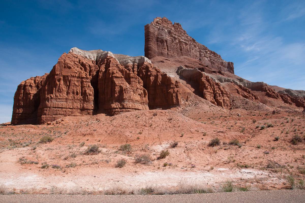
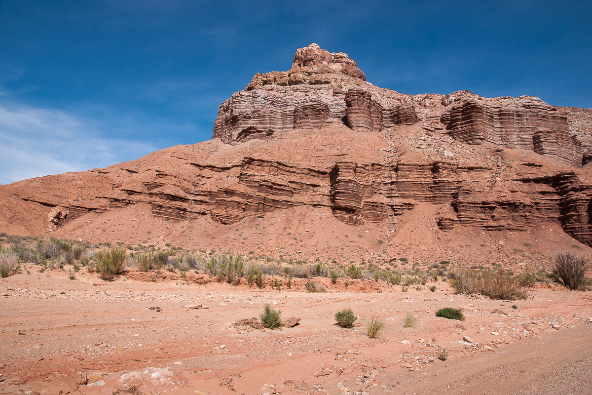
Wild Horse Butte
Skirting the base of the San Rafael Reef there is another trail down Wild Horse Canyon down to the Muddy Creek. It starts immediately west of Wild Horse Butte at 12S 0522750 4269590.
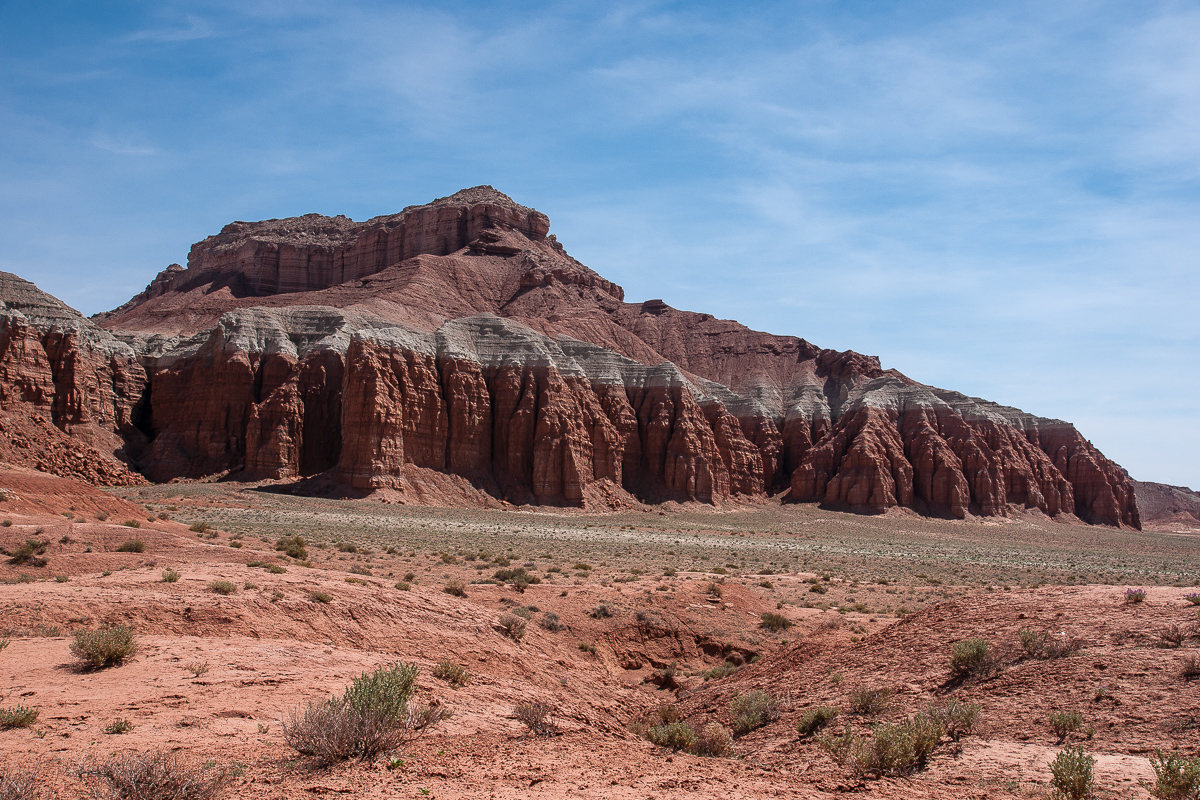
Wild Horse Butte and Canyon where the trail mentioned above can be found.
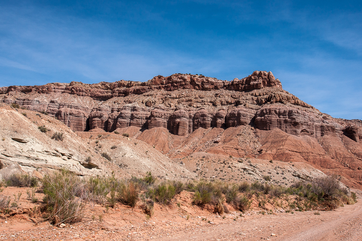
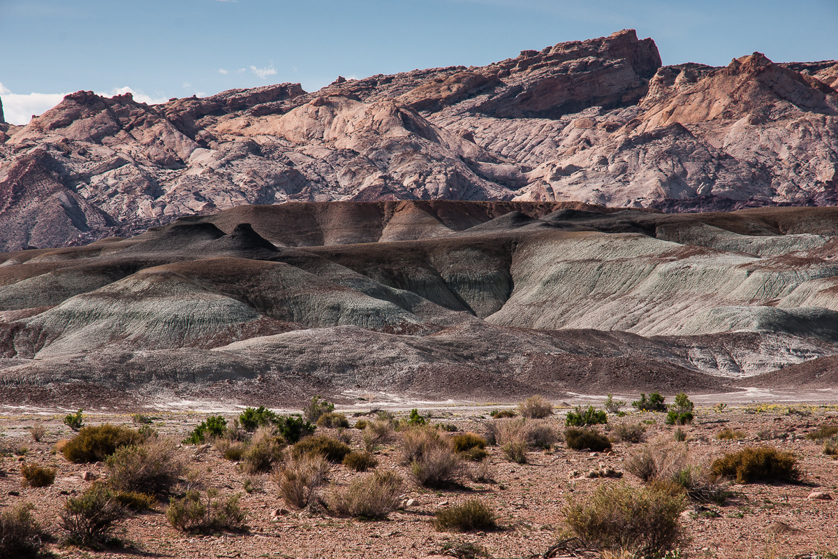
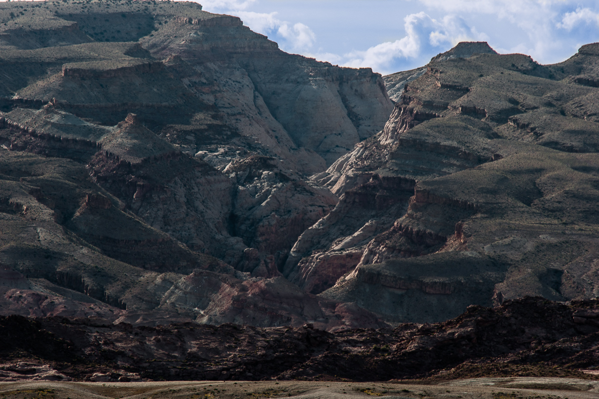
To the right San Rafael Reef with a number of canyons, some slot-like.
There might be slot canyons
Not far away from the parking lot at Bell- and Little Wild Horse Canyon
After these Canyons the road becomes much more interesting. It is a good road but dirt. At 12S 0515520 4269610 it turns south into lower Little Wild Horse Canyon. This slotless stretch runs for several Miles down to Muddy Creek. Might be that it can be traveled by 4WD? The main road leves the Canyon after 3 Miles.
Middle Wild Horse Mesa
In Little Wild Horse Canyon
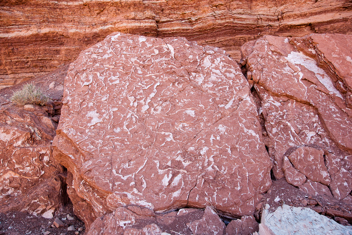
Rocks with an unusual texture
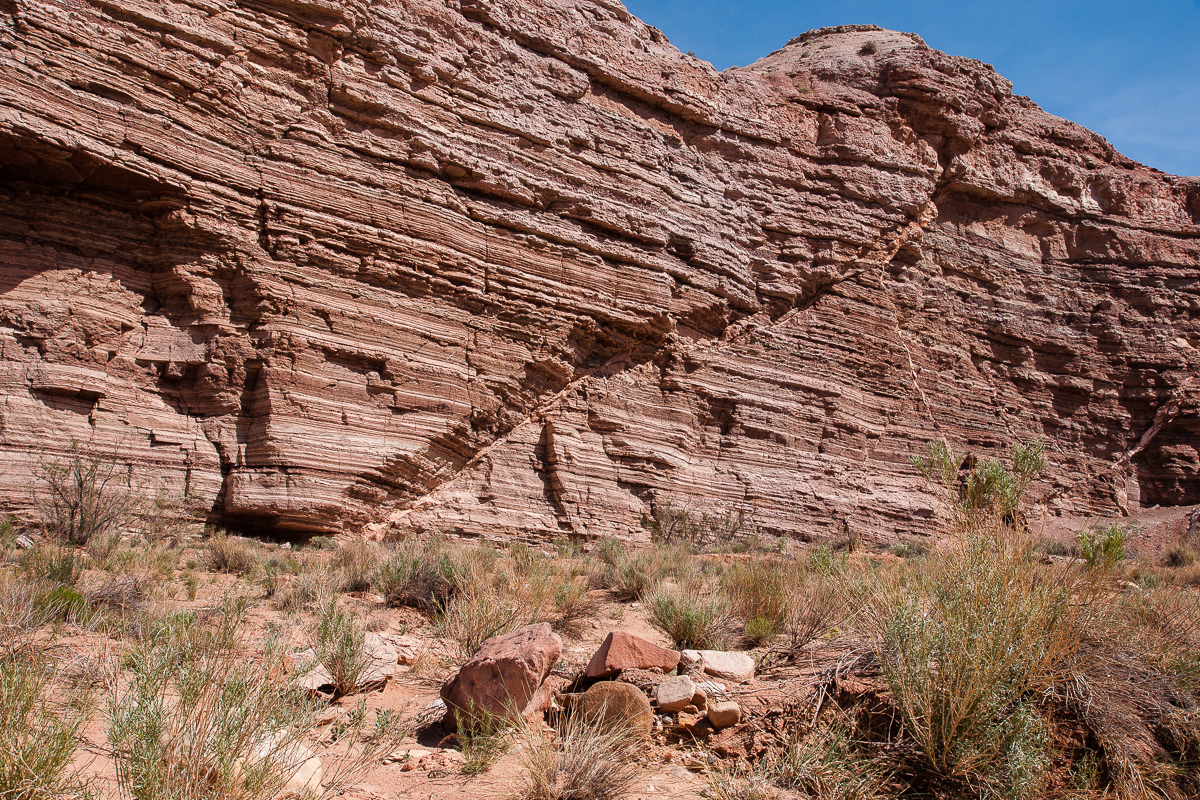
Remarkable kerf in Little Wild Horse Canyon
At 12S 0515210 4266480 a lesser spur leads to the left following the wash. This is the wrong one, it might be a dead end even if maps show some othe spurs on top of Middle Wild Horse Mesa.
Looking north at the intersection in LWHC. Left is the main road.
Climbing out of LWHC onto Wittle Wild Horse Mesa
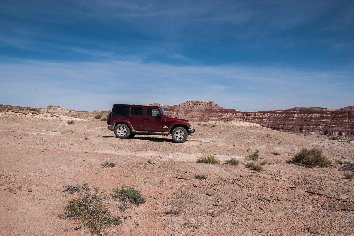
No need for a Wrangler
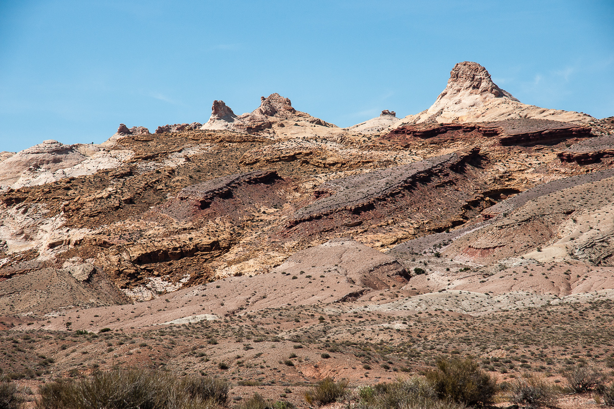
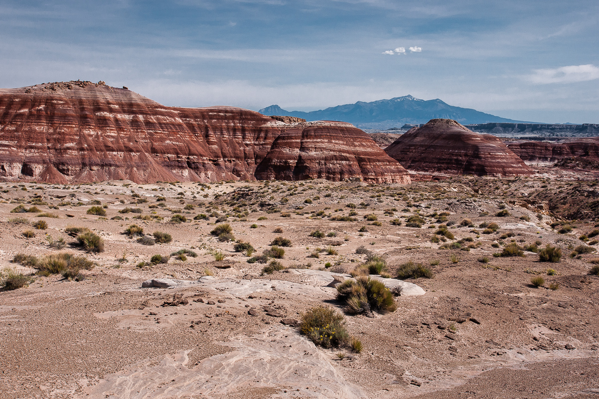
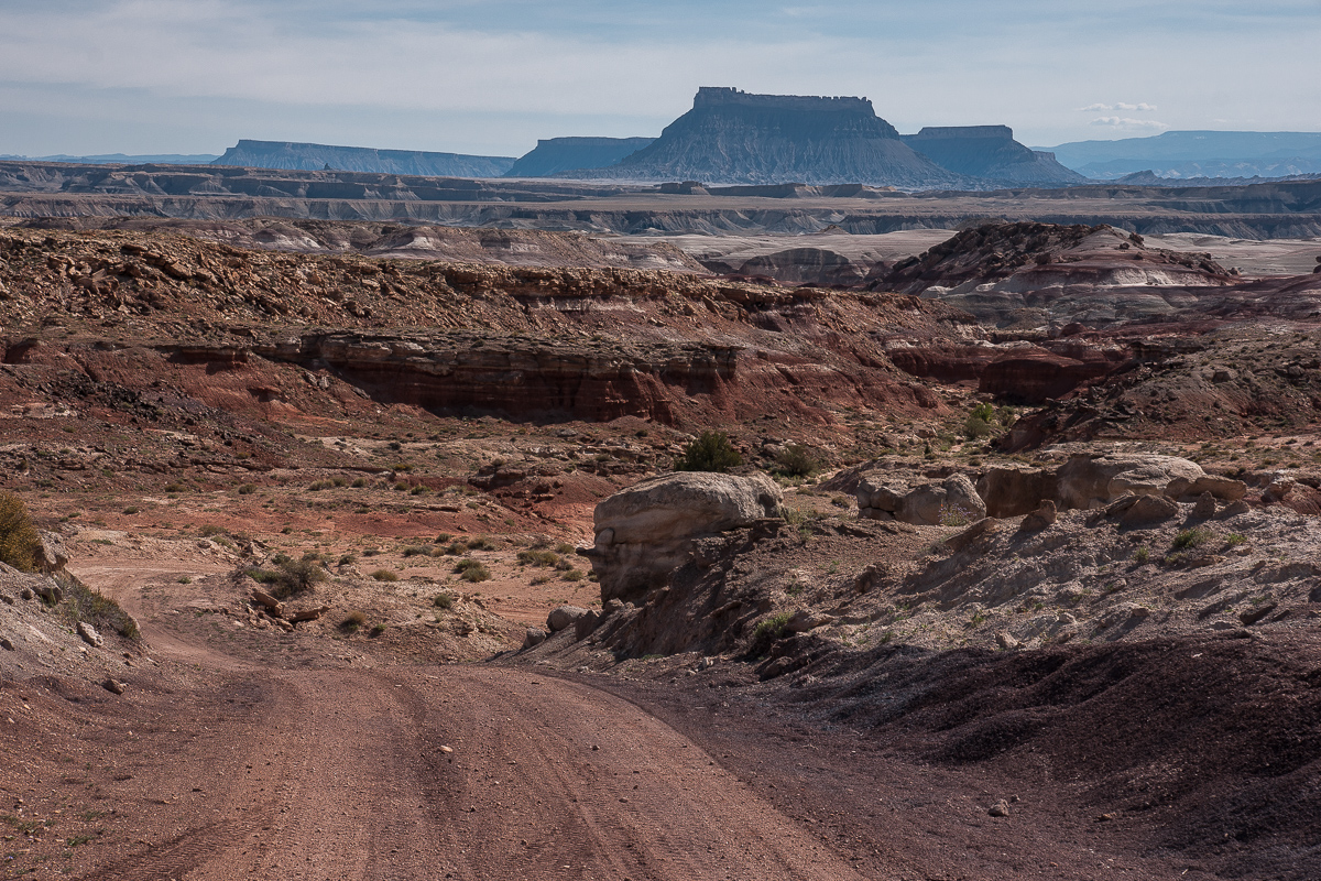
A first glimpse of the badlands yet to come
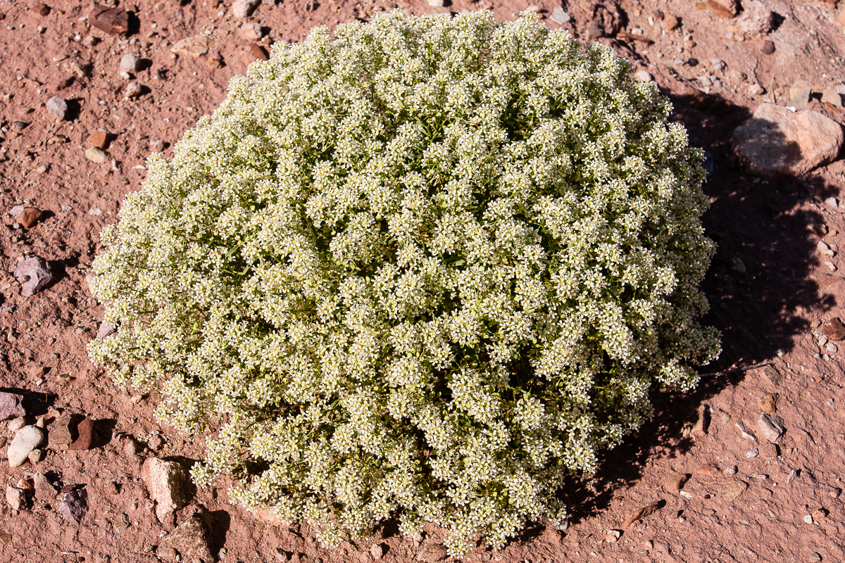
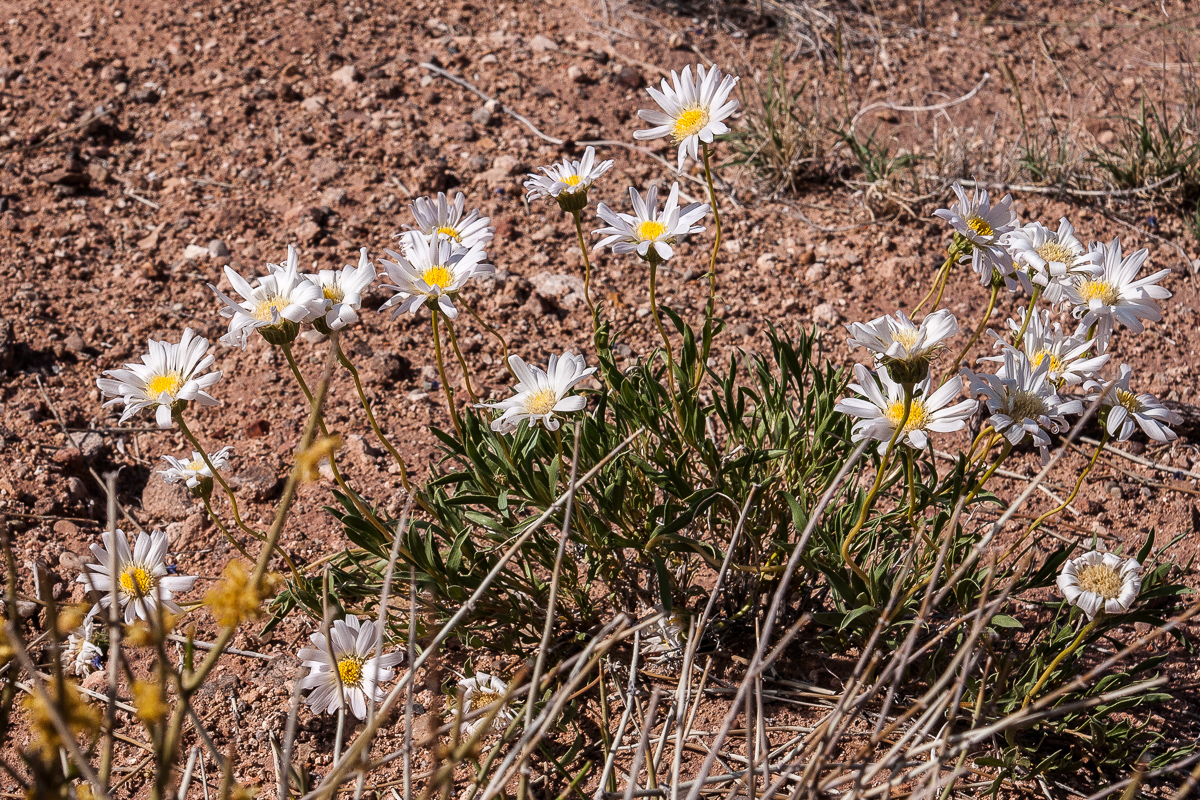
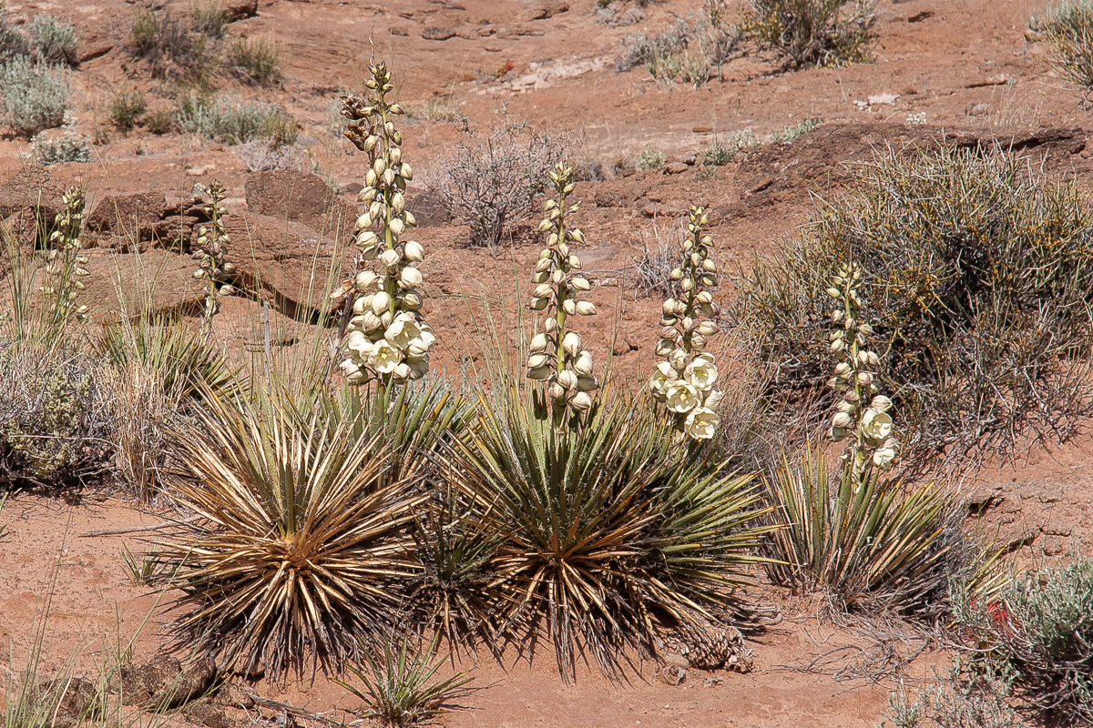
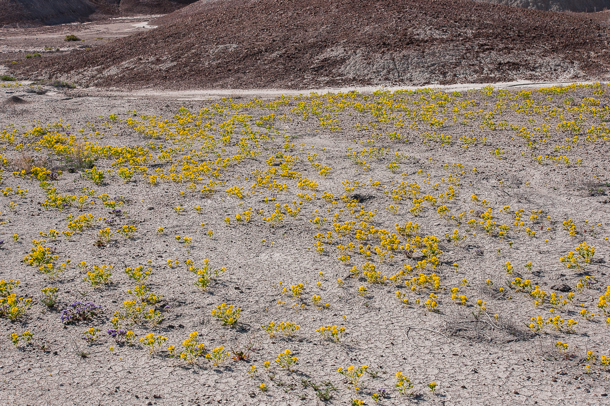
Blooming....
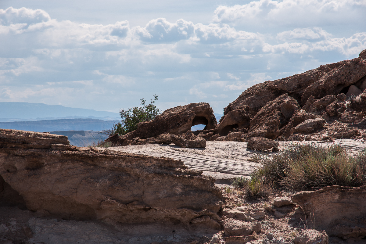
....and a little arch besides the road
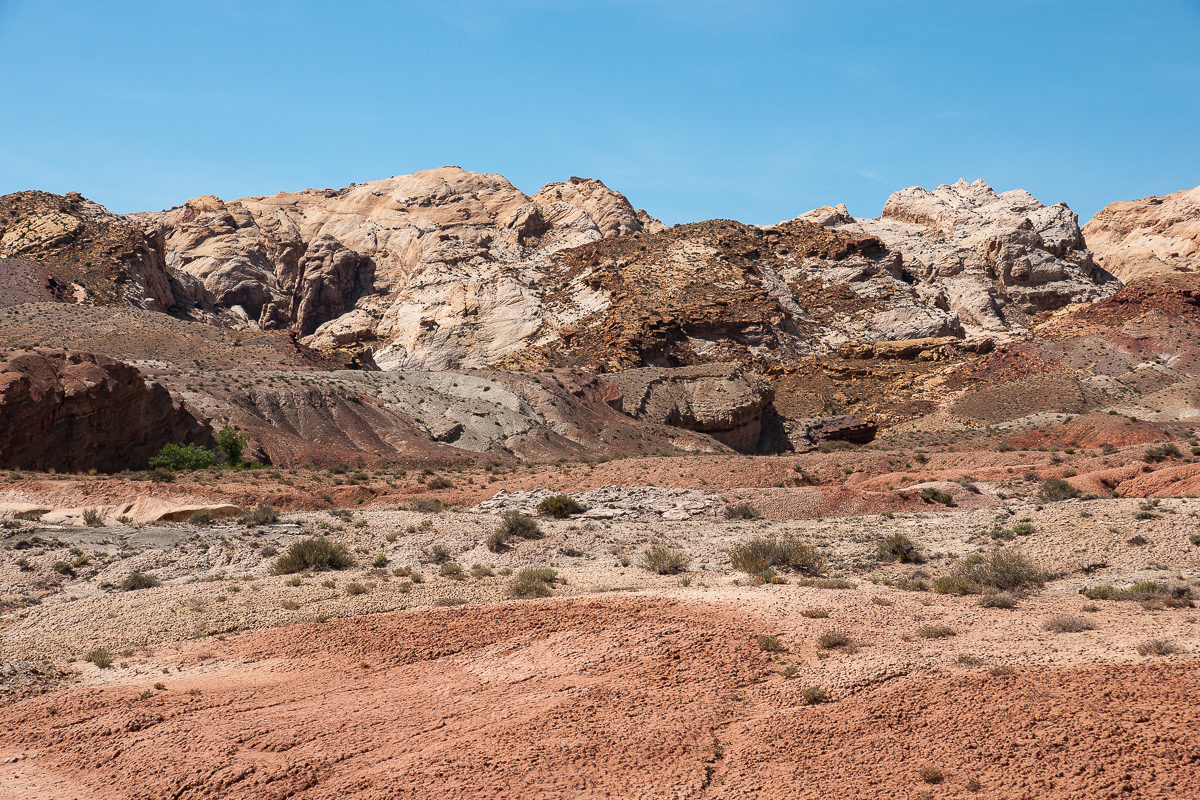
Clay Hills and Henry Mountains
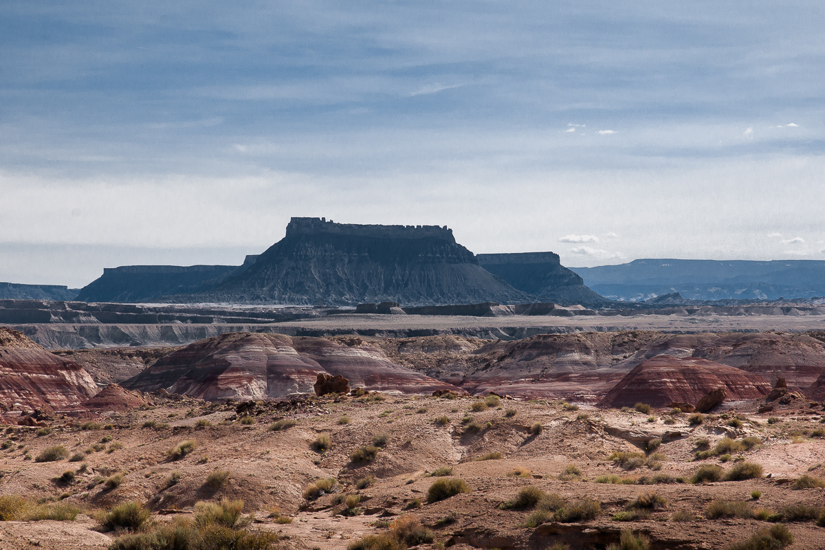
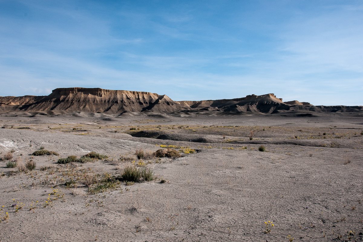
More clay, Skyline Rim and Factory Butte - dark as often seen
On a spur ending after .3 Miles
Clay Hills Road
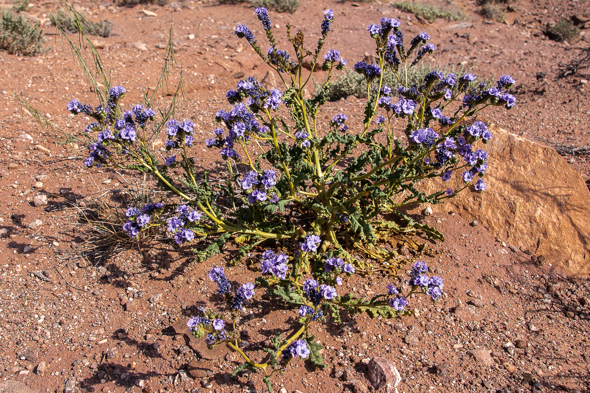
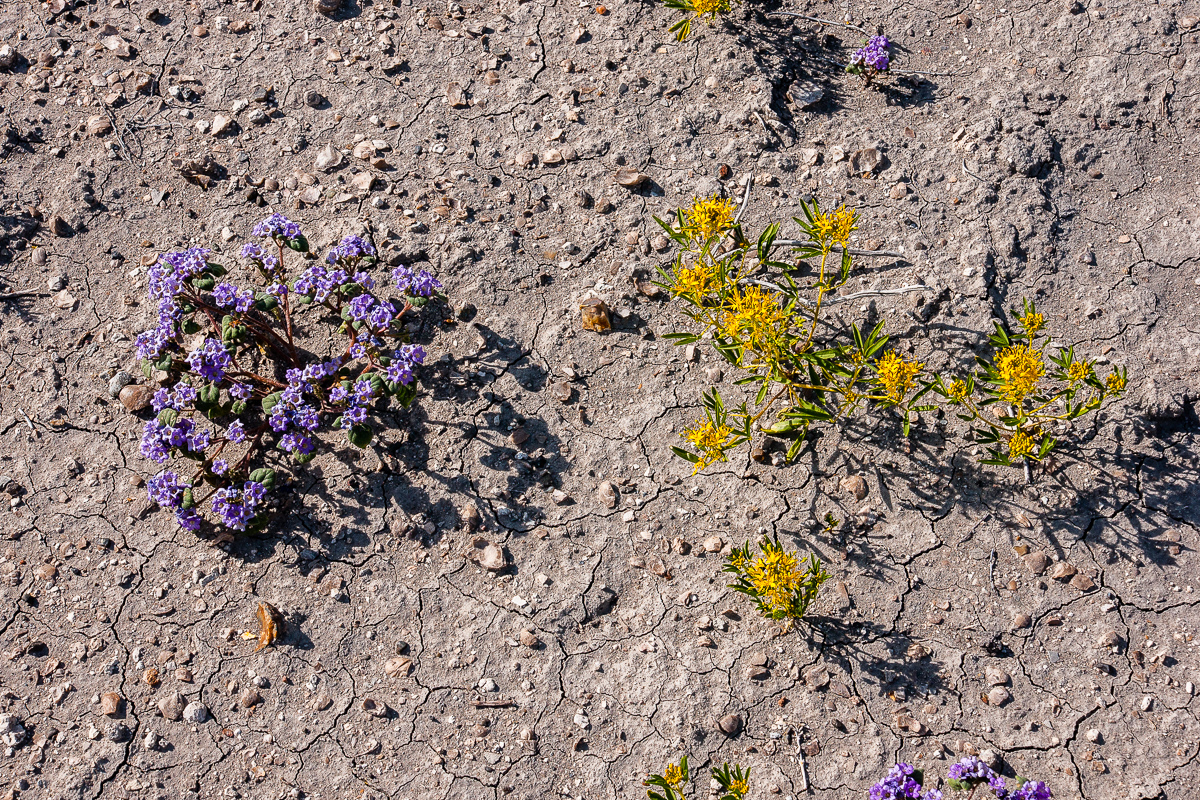
More flowers:
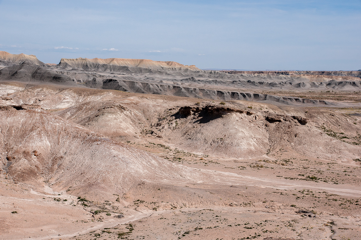
Clay Hills
Different colors
Still on Clay Hills Road traveling in direction of Muddy Creek and the ford:
Clay Hills Road
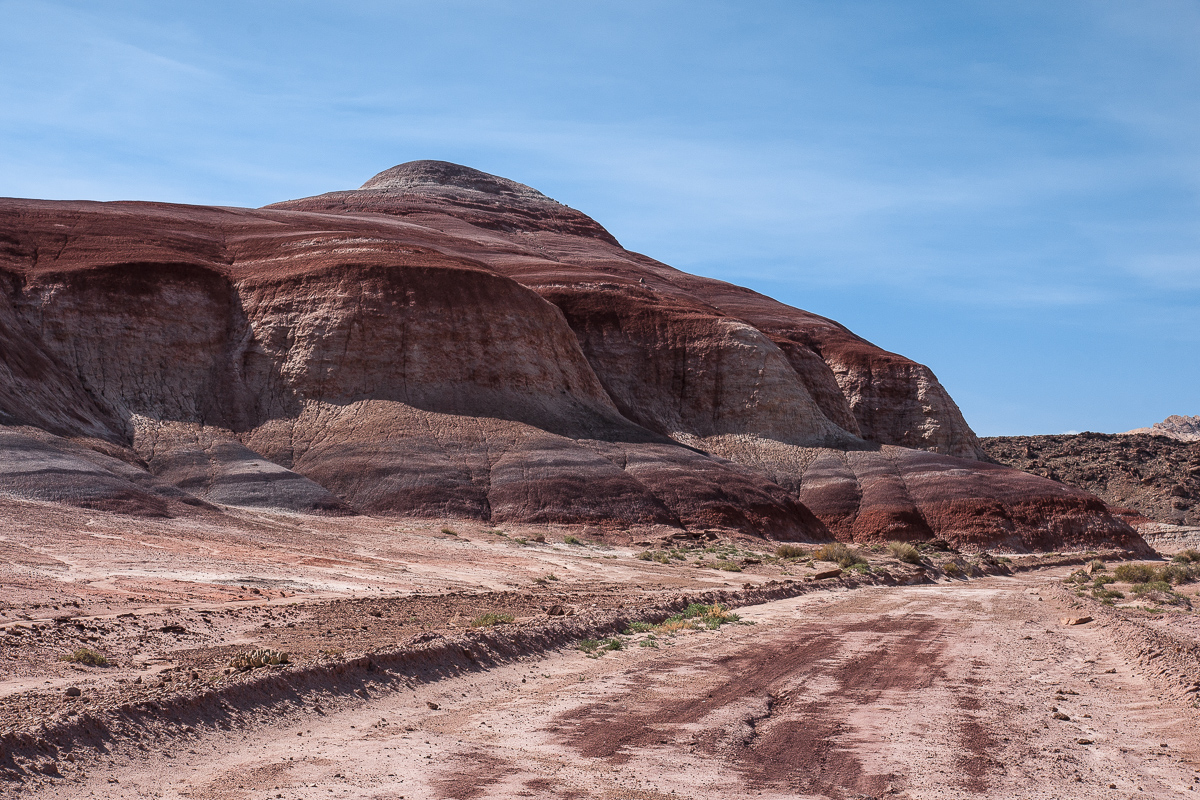
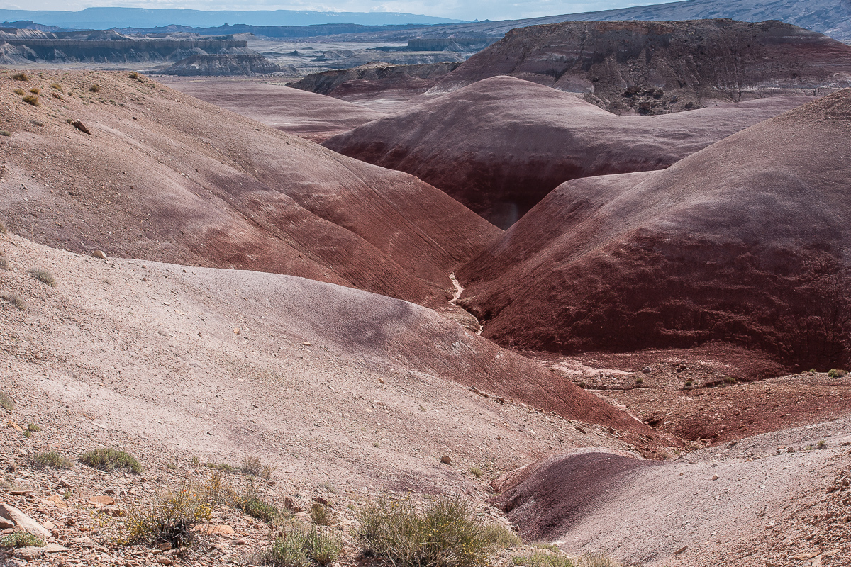
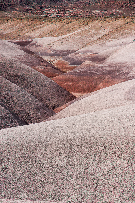
Such V-shaped trenches are typical for clay
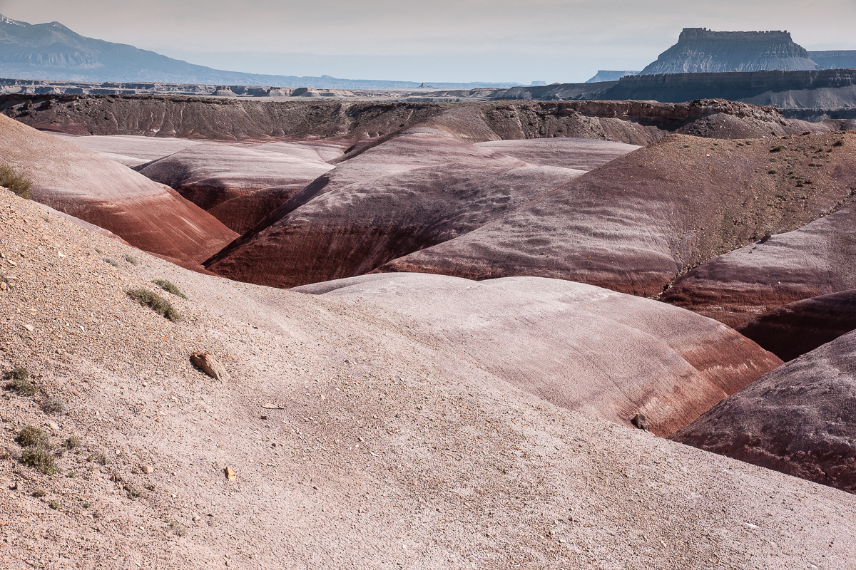
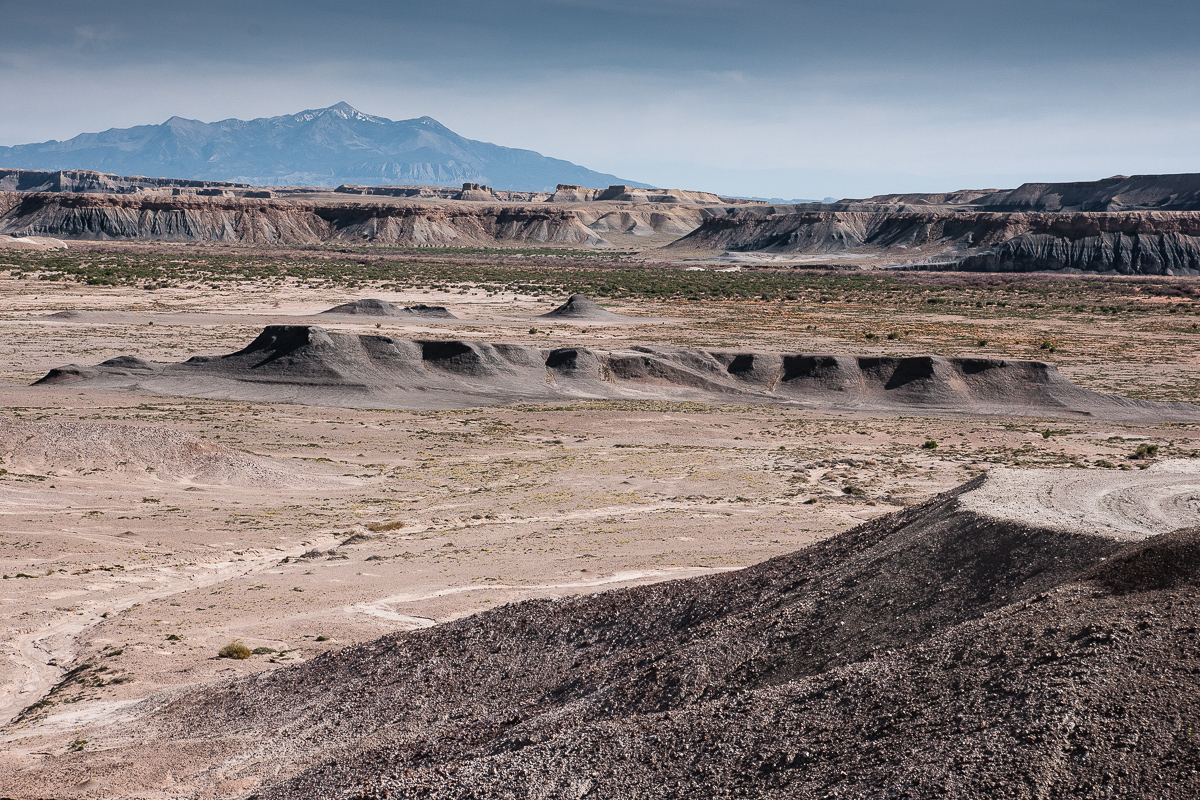
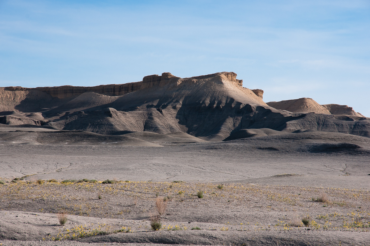
Clay, Factory Butte, Henry Mountains
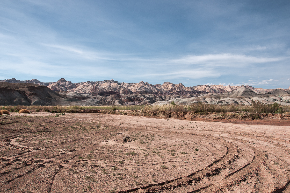
Looking towards Muddy Creek
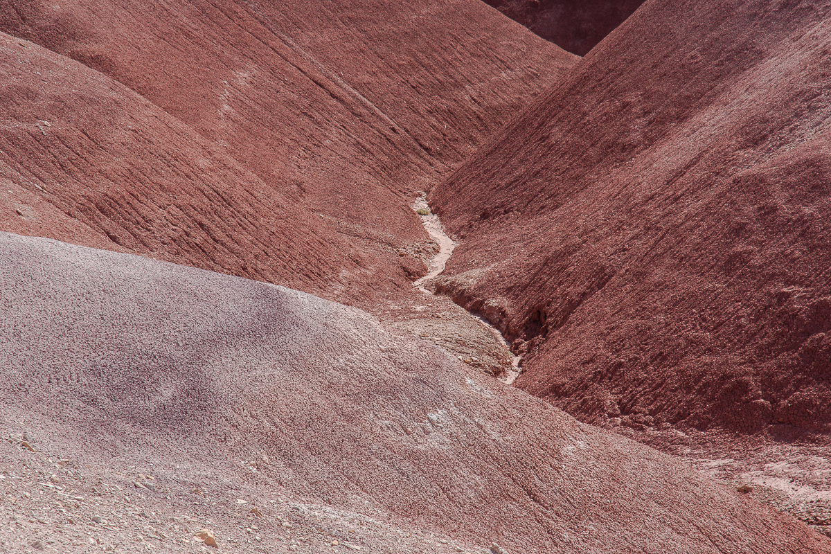
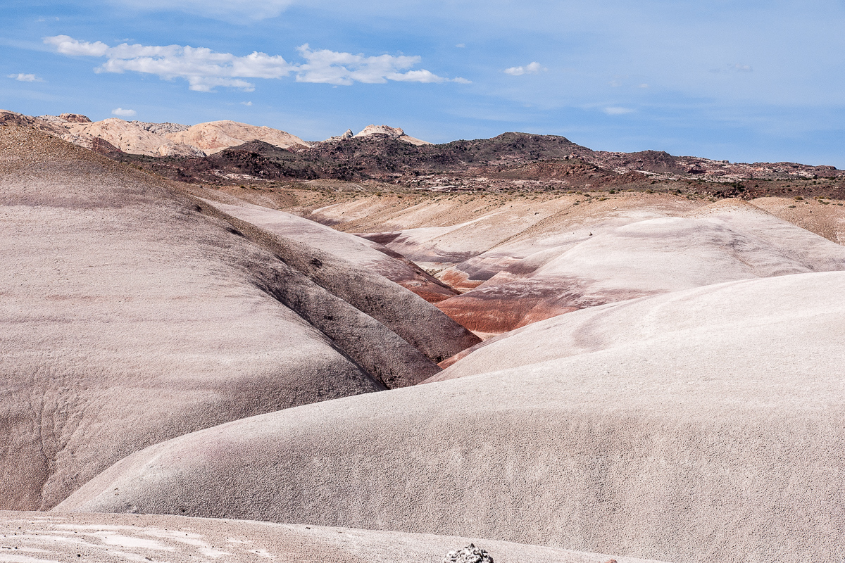
V-shaped again
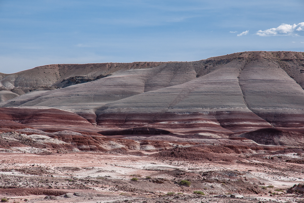
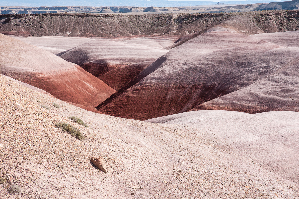
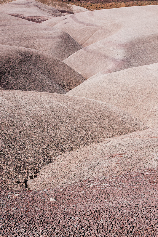
Crazy coloring
Clay and the San Rafael Reef
Nearly white
Clay Hills Road
White kerf
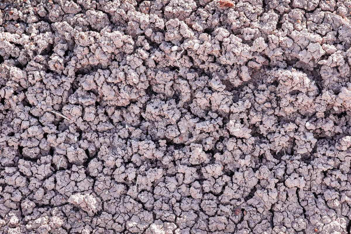
Texture of dry clay surface
Some color banding
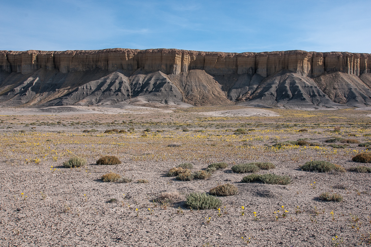
The whole view
Skyline Rim in a distance, Henry Mountains
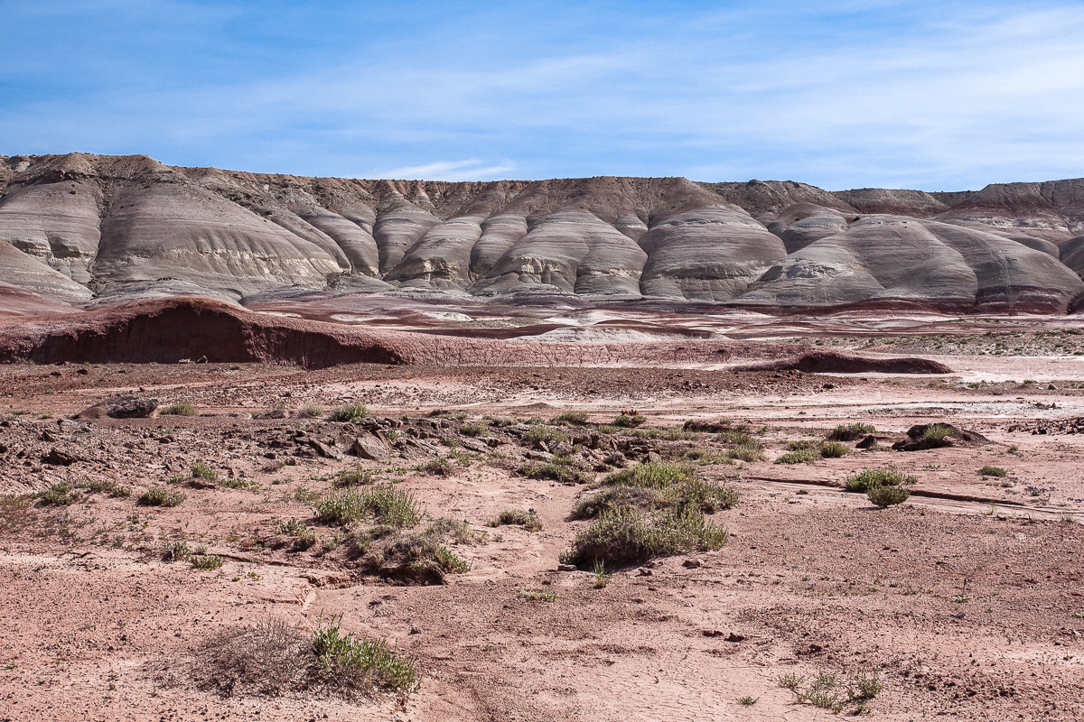
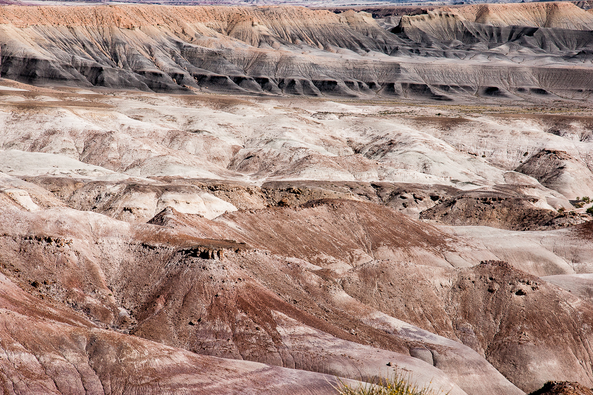
Badland colors
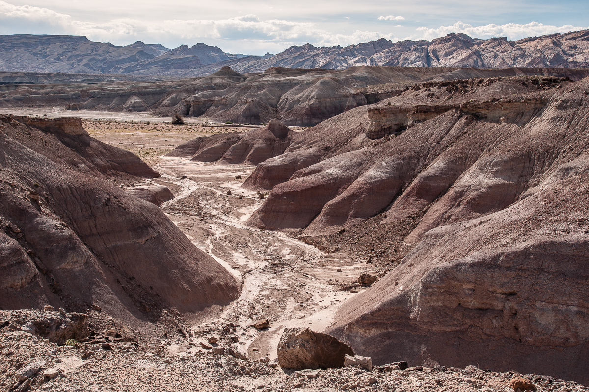
A larger braided wash
East of Muddy Creek
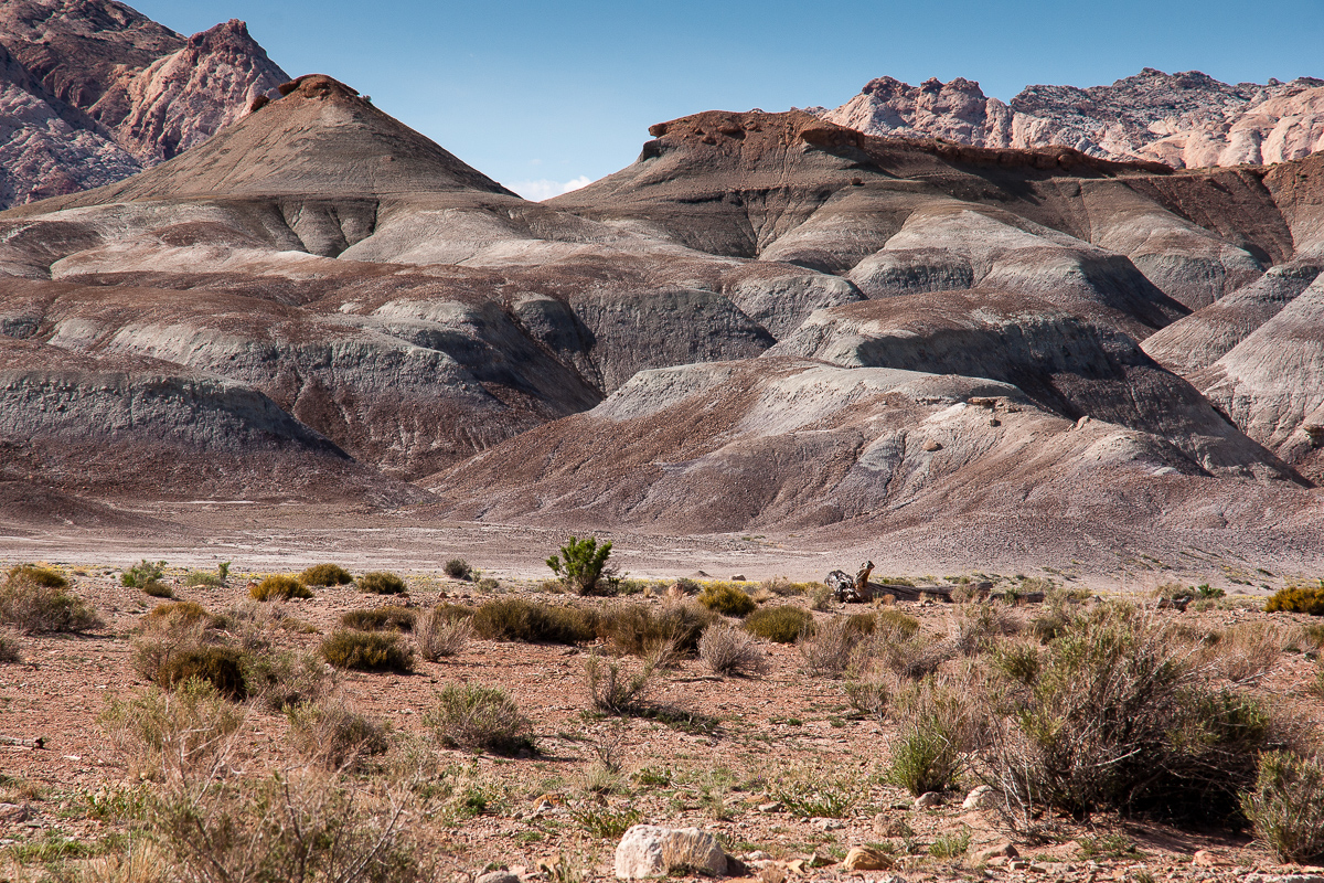
Clay Hills and San Rafael Reef
Spring flowers on gray soil
Still on Clay Hills Road traveling in direction of Muddy Creek and the ford:
Clay Hills Road
Such V-shaped trenches are typical for clay
Clay, Factory Butte, Henry Mountains
Looking towards Muddy Creek
V-shaped again
Crazy coloring
Clay and the San Rafael Reef
Nearly white
Clay Hills Road
White kerf
Texture of dry clay surface
Some color banding
The whole view
Skyline Rim in a distance, Henry Mountains
Badland colors
A larger braided wash
East of Muddy Creek
Clay Hills and San Rafael Reef
Spring flowers on gray soil
Clay Hills Road is impassable whe wet, but in the vicinity of the Muddy Creek Ford things can become even more troublesome. Fording the river is not only a question of runoff at the given time it ist also depending on the level within the last days.
There are a bunch of spurs leading to different points at the banks and most of the are not that good. An old picture example :

The best and easiest place is driving to the west until 12S 0508368 4264597. On the left there is a place with smooth banks on both sides of Muddy Creek. Try this!
High runoff will soak the banks making them impassable due to the fact they are clay and ashes too. Even after some days and a dry looking surface there might be trouble. Underneath the clay can be wet let a vehicle sink into it. We have had such a situation this year in in May. No chance to cross!
Sorry, there are no good pictures out of 2013 from the river itself!
On the southwestern clay bank
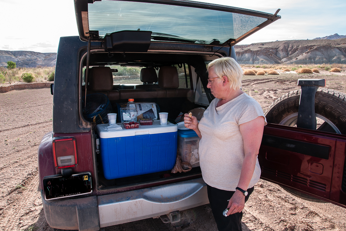
Sometimes one needs a break
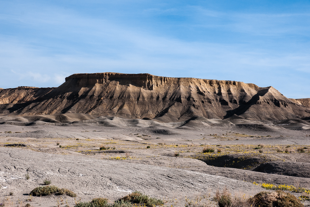
The Cliffs of Factory Bench
Flowers on clay
To the north the Moroni Slopes (Part of the Reef)
Reef, Clay and Ash?
The road ends - by name - where it climbs up to Factory Bench. (Road on the right)
From this point one can travel over Factory Bench to State Road 24. This stretch is called Coal Mine Road. Anothe dead end trail leads to Salt Wash north of North Caineville Reef.
Featured image for home page:

This time we started at the Goblin Valley end. The road goes right a short distance before the Goblin Valley Visitor Center (at 12S 0525310 4270340). Wild Horse Butte is to the left, the road is paved for the next 5 Miles. We knew the road 20 years ago as unimproved and this was much more impressive than today. Reason for pavement are the slots from Bell and Little Wild Horse Canyon.
Wild Horse Butte
Skirting the base of the San Rafael Reef there is another trail down Wild Horse Canyon down to the Muddy Creek. It starts immediately west of Wild Horse Butte at 12S 0522750 4269590.
Wild Horse Butte and Canyon where the trail mentioned above can be found.
To the right San Rafael Reef with a number of canyons, some slot-like.
There might be slot canyons
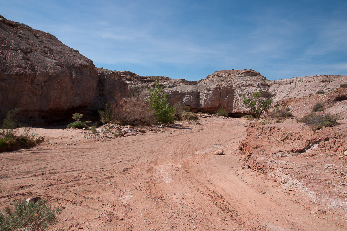
Not far away from the parking lot at Bell- and Little Wild Horse Canyon
After these Canyons the road becomes much more interesting. It is a good road but dirt. At 12S 0515520 4269610 it turns south into lower Little Wild Horse Canyon. This slotless stretch runs for several Miles down to Muddy Creek. Might be that it can be traveled by 4WD? The main road leves the Canyon after 3 Miles.
Middle Wild Horse Mesa
In Little Wild Horse Canyon
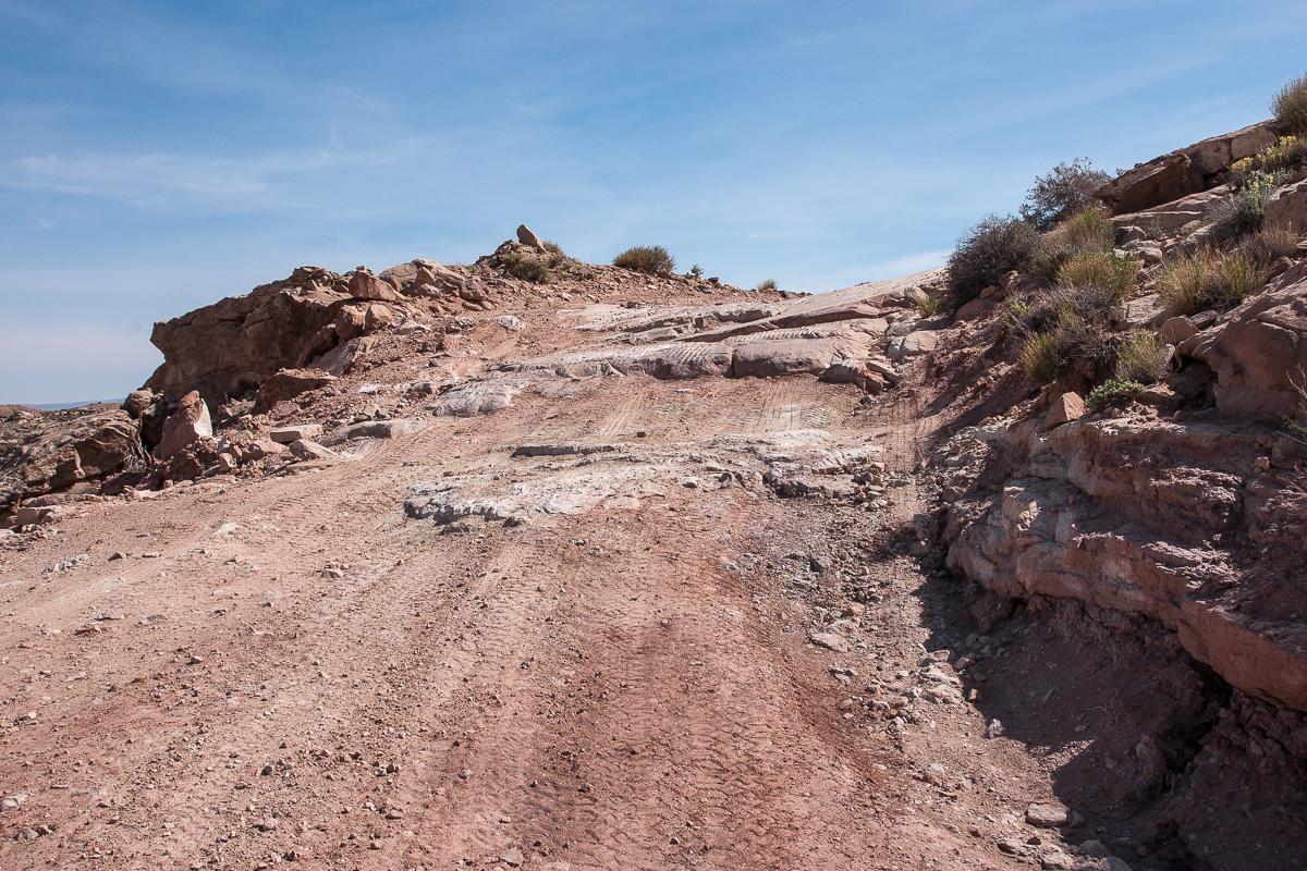
Rocks with an unusual texture
Remarkable kerf in Little Wild Horse Canyon
At 12S 0515210 4266480 a lesser spur leads to the left following the wash. This is the wrong one, it might be a dead end even if maps show some othe spurs on top of Middle Wild Horse Mesa.
Looking north at the intersection in LWHC. Left is the main road.
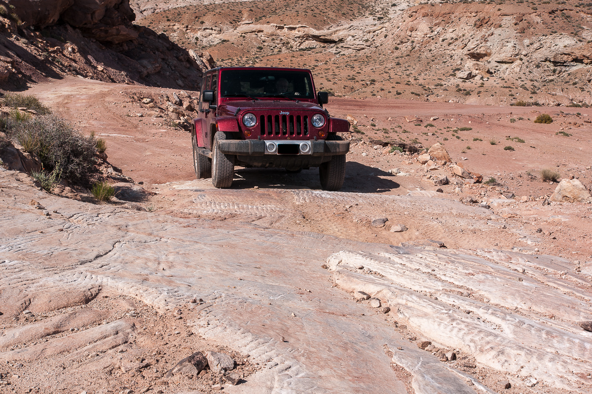
Climbing out of LWHC onto Wittle Wild Horse Mesa
No need for a Wrangler
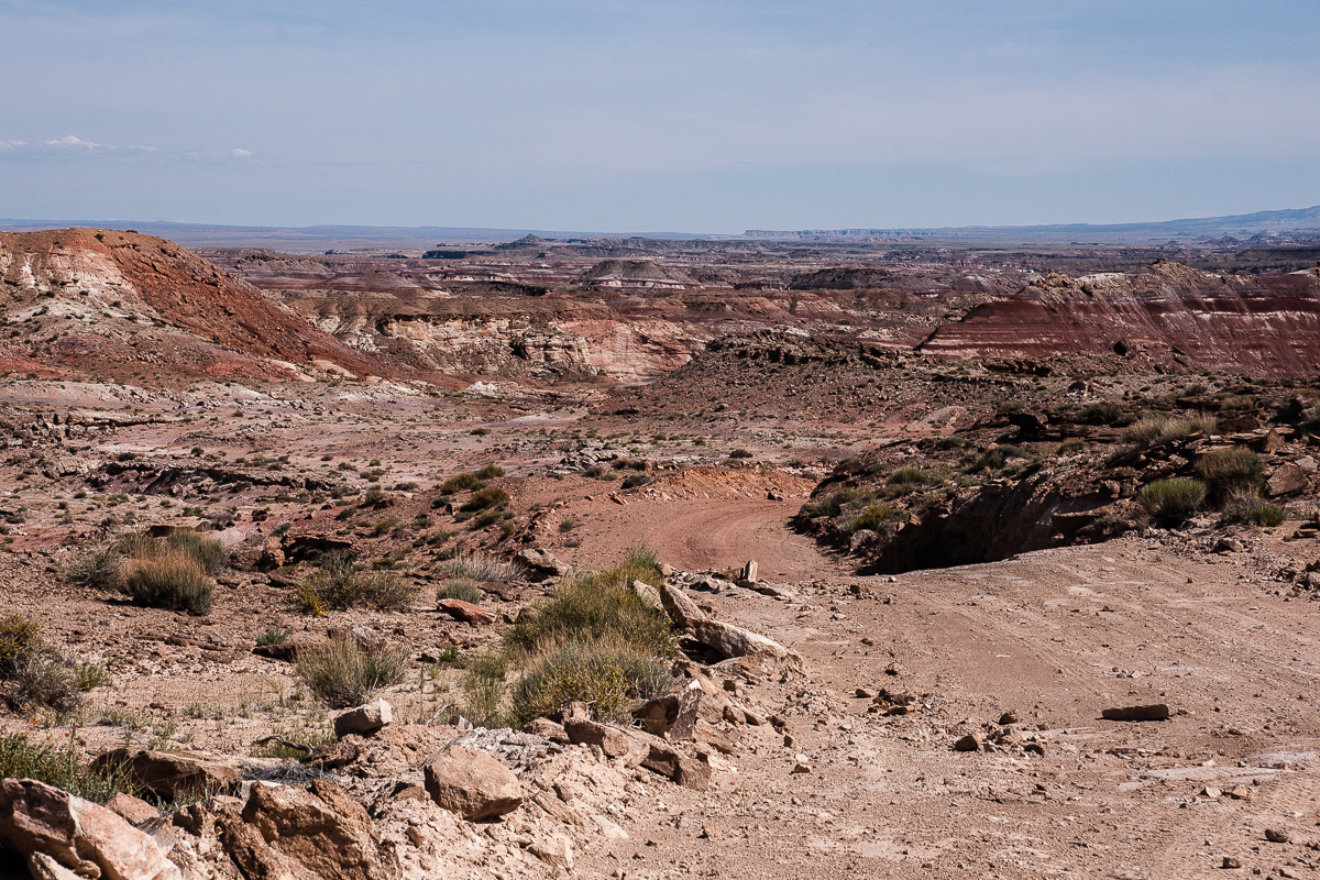
A first glimpse of the badlands yet to come
Blooming....
....and a little arch besides the road
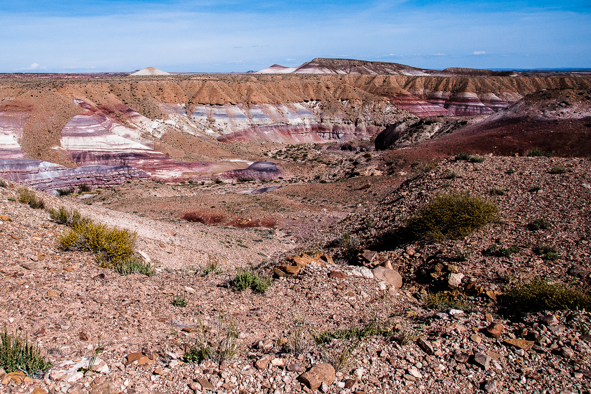
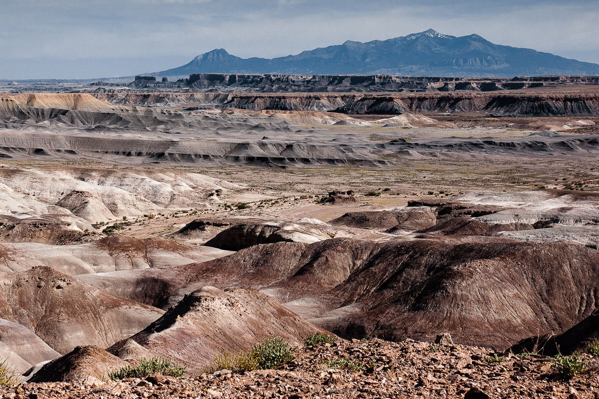
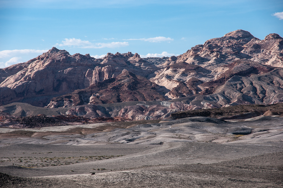
Clay Hills and Henry Mountains
More clay, Skyline Rim and Factory Butte - dark as often seen
On a spur ending after .3 Miles
Clay Hills Road
More flowers:
Clay Hills
Different colors
Still on Clay Hills Road traveling in direction of Muddy Creek and the ford:
Clay Hills Road
Such V-shaped trenches are typical for clay
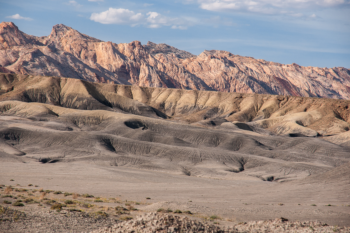
Clay, Factory Butte, Henry Mountains
Looking towards Muddy Creek
V-shaped again
Crazy coloring
Clay and the San Rafael Reef
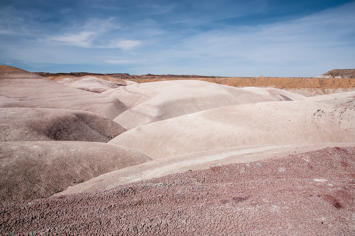
Nearly white
Clay Hills Road
White kerf
Texture of dry clay surface
Some color banding
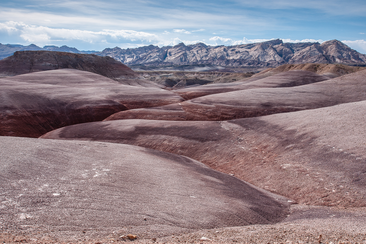
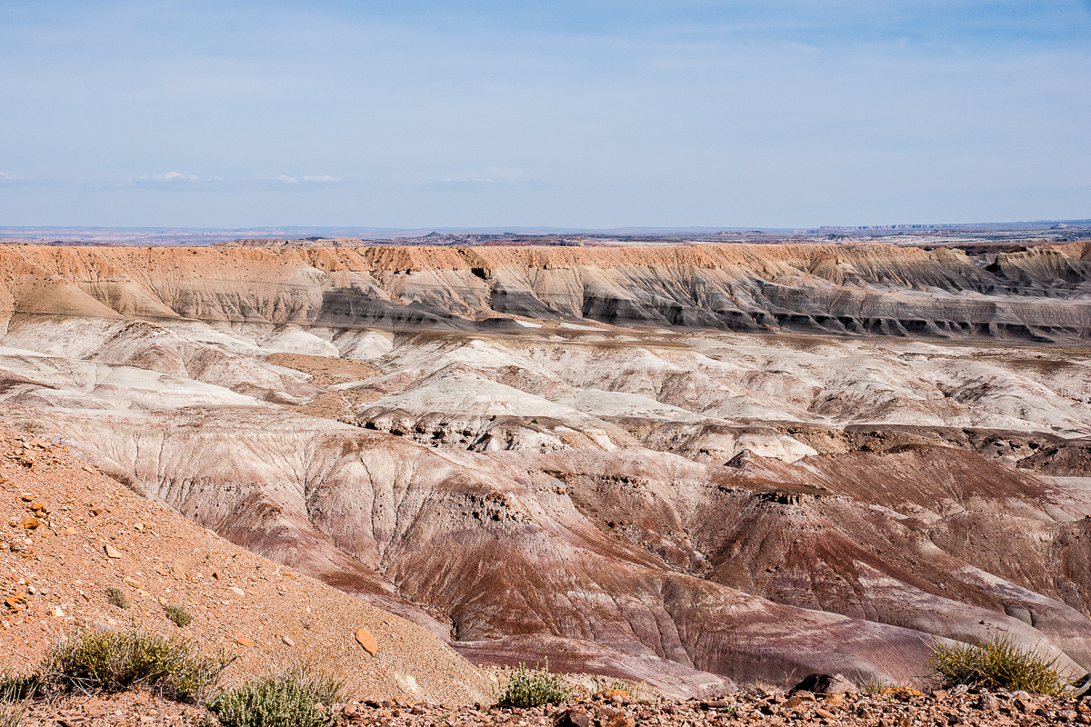
The whole view
Skyline Rim in a distance, Henry Mountains
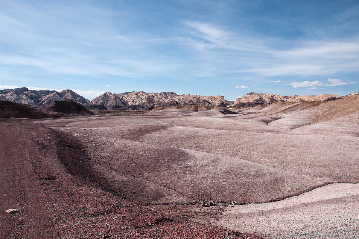
Badland colors
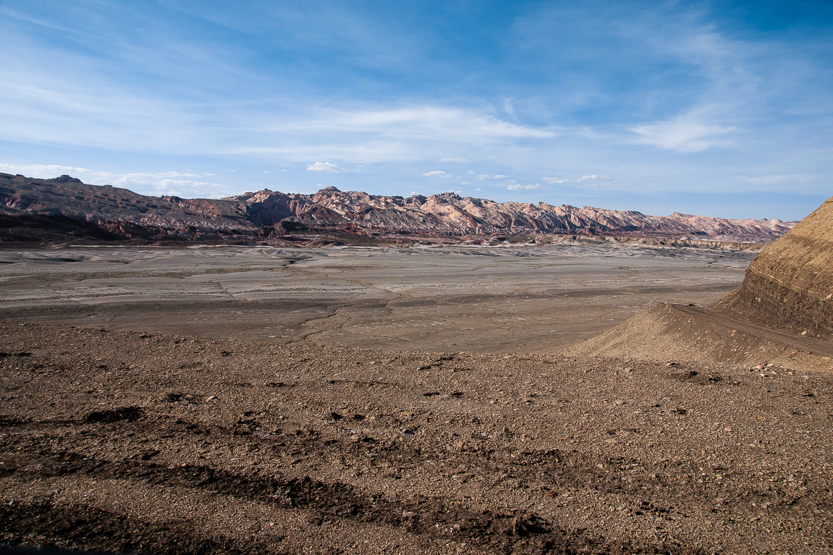
A larger braided wash
East of Muddy Creek
Clay Hills and San Rafael Reef
Spring flowers on gray soil
Still on Clay Hills Road traveling in direction of Muddy Creek and the ford:
Clay Hills Road
Such V-shaped trenches are typical for clay
Clay, Factory Butte, Henry Mountains
Looking towards Muddy Creek
V-shaped again
Crazy coloring
Clay and the San Rafael Reef
Nearly white
Clay Hills Road
White kerf
Texture of dry clay surface
Some color banding
The whole view
Skyline Rim in a distance, Henry Mountains
Badland colors
A larger braided wash
East of Muddy Creek
Clay Hills and San Rafael Reef
Spring flowers on gray soil
Clay Hills Road is impassable whe wet, but in the vicinity of the Muddy Creek Ford things can become even more troublesome. Fording the river is not only a question of runoff at the given time it ist also depending on the level within the last days.
There are a bunch of spurs leading to different points at the banks and most of the are not that good. An old picture example :
The best and easiest place is driving to the west until 12S 0508368 4264597. On the left there is a place with smooth banks on both sides of Muddy Creek. Try this!
High runoff will soak the banks making them impassable due to the fact they are clay and ashes too. Even after some days and a dry looking surface there might be trouble. Underneath the clay can be wet let a vehicle sink into it. We have had such a situation this year in in May. No chance to cross!
Sorry, there are no good pictures out of 2013 from the river itself!
On the southwestern clay bank
Sometimes one needs a break
The Cliffs of Factory Bench
Flowers on clay
To the north the Moroni Slopes (Part of the Reef)
Reef, Clay and Ash?
The road ends - by name - where it climbs up to Factory Bench. (Road on the right)
From this point one can travel over Factory Bench to State Road 24. This stretch is called Coal Mine Road. Anothe dead end trail leads to Salt Wash north of North Caineville Reef.
Featured image for home page: