Udink
Still right here.
- Joined
- Jan 17, 2012
- Messages
- 1,742
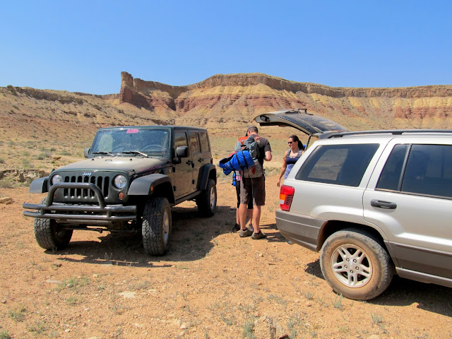
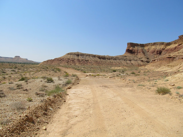
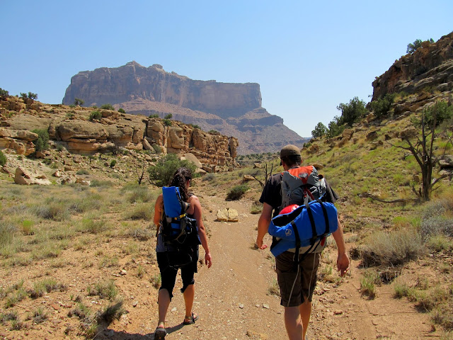
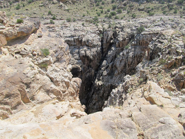
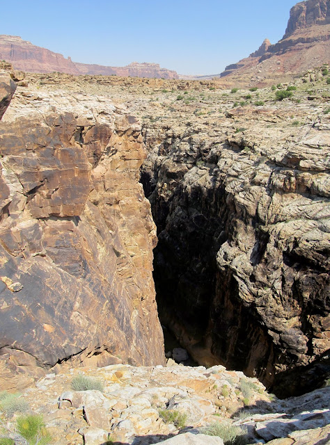
"Black Box on Monday?" said Chris' text on Thursday. It started simply enough, and though we didn't do much planning together after that, everything came together nicely on Monday morning when Chris, Karin, and Katie met at my house and we got a late start driving into the San Rafael Swell. Karin and I parked our Jeeps at the end of the Mexican Mountain Road, where we all geared up and started hiking at about 12:30. After a short walk down the road and then down a small drainage, we arrived at the rim of the Upper Black Box. I could hear the San Rafael River below but couldn't see the water due to it flowing under a huge rockfall that choked the canyon.
Gearing up at the trailhead
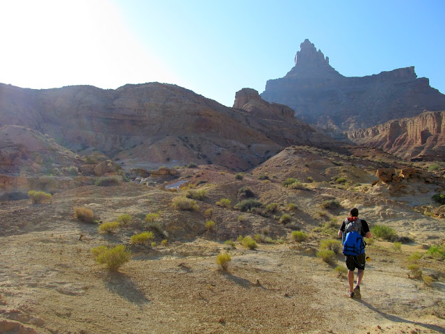
Road-walking to the canyon rim
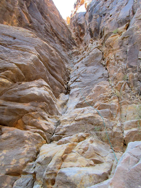
Side canyon leading to the Upper Black Box
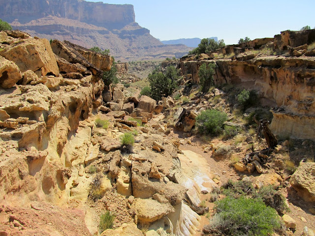
Side canyon leading to the Upper Black Box
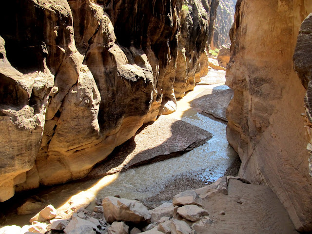
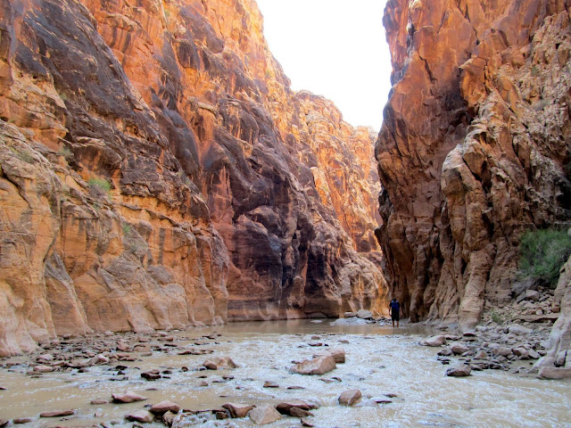
First view of the Black Box
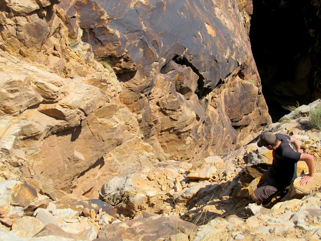
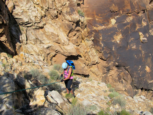
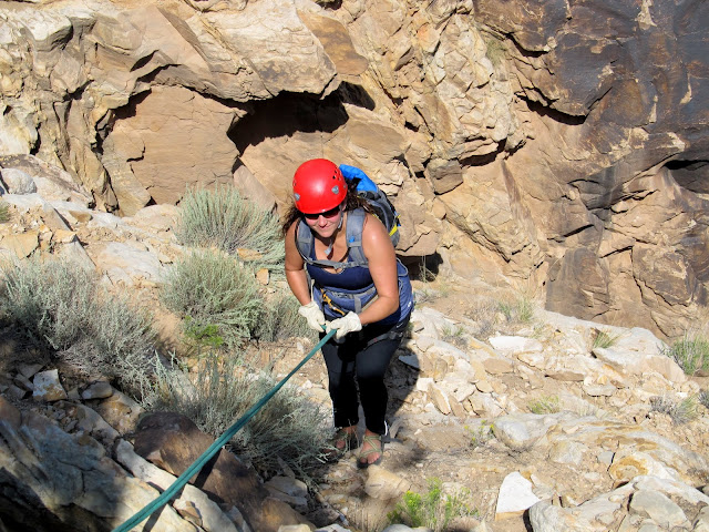
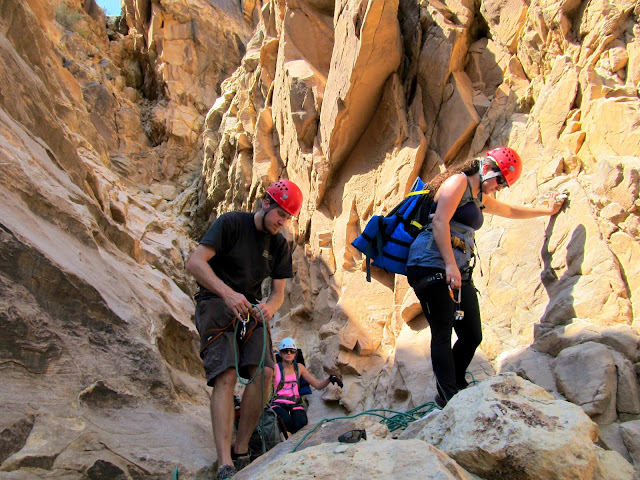
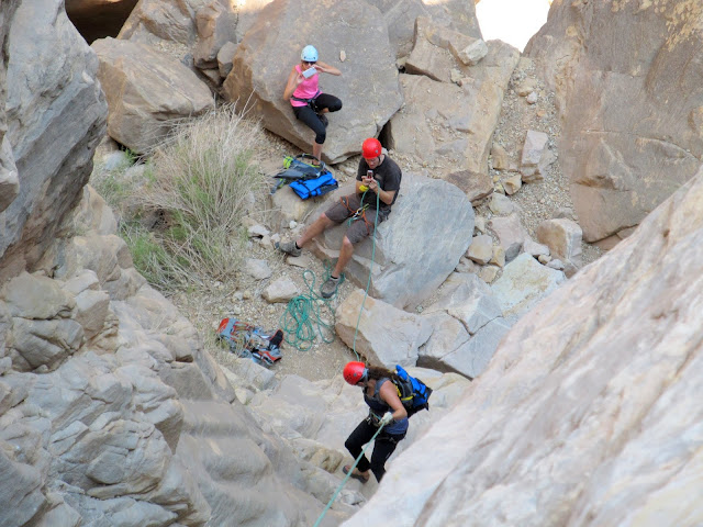
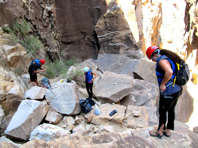
We spent some time searching for existing rappel anchors and found two sets: one high and easily accessible and one down low requiring a sketchy downclimb. We set up a 200' rope on the upper anchor but couldn't see whether it reached the bottom, so Chris came up with another plan. He tried and succeeded at climbing down to and back up from the lower anchor, so we set up a short rappel (double-strand rope anchored to a sling around a tree) to get everyone down to the lower anchor, then pulled the rope and fixed it single-strand at the lower anchor. Chris and I returned after the hike to retrieve the rope and tree-sling. It was Katie's first time rappelling and she did well with amazingly no hesitation. For both raps, Chris went first, then Karin, Katie, and finally me. It had taken two hours since leaving the vehicles to reach the bottom of the canyon.
Chris downclimbing to check out the rappel anchors
Karin on the first stage of the rappel
The appropriately-named Black Box
Katie on rappel
Setting up the second rappel
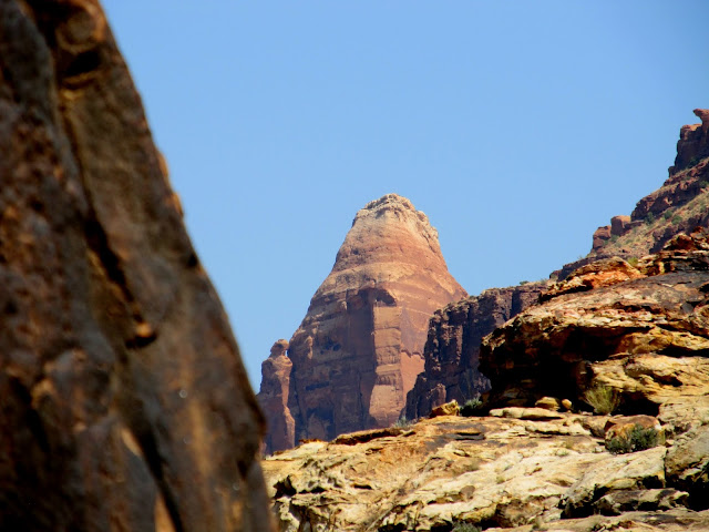
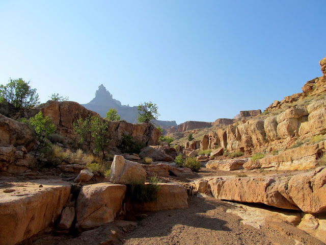
Spire on Mexican Mountain
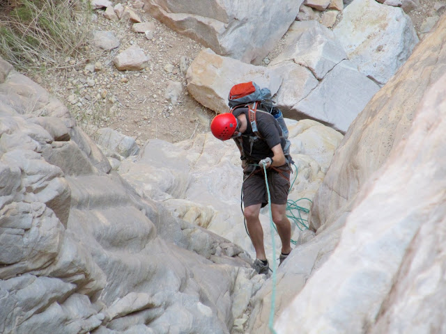
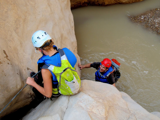
Chris on rappel
Karin on rappel with Chris belaying
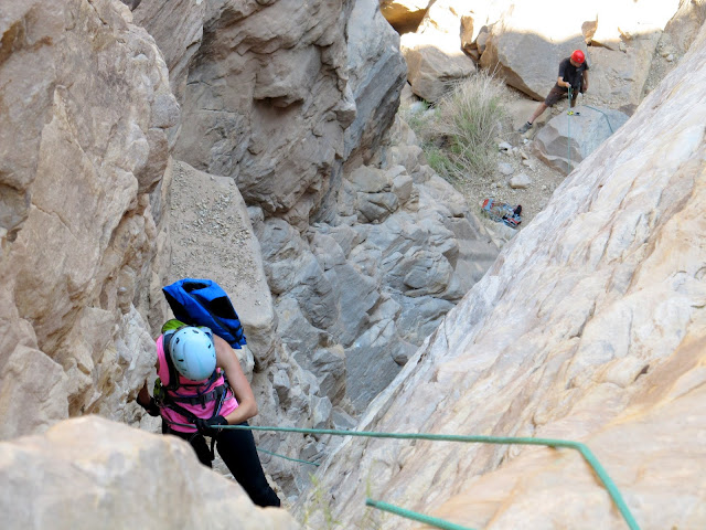
Katie near the bottom of the rappel
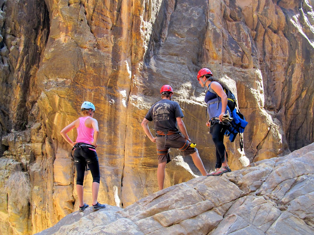
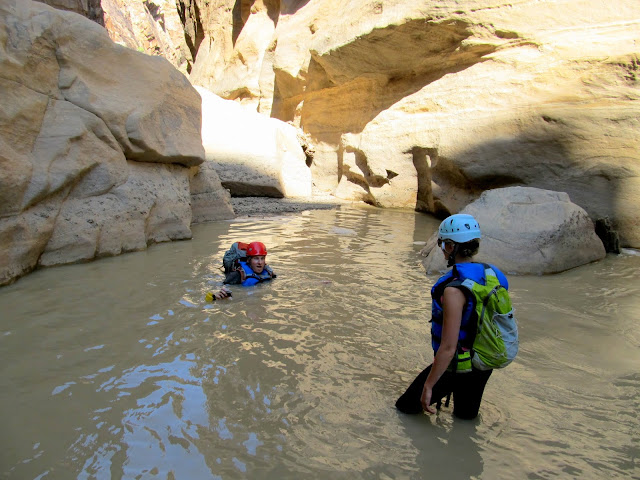
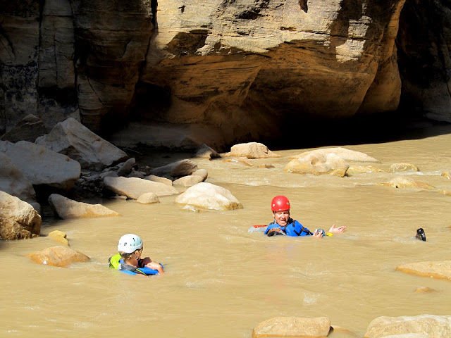
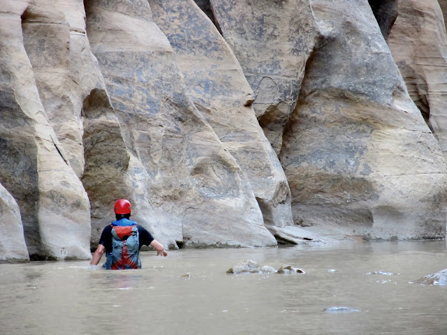
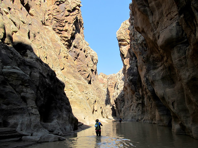
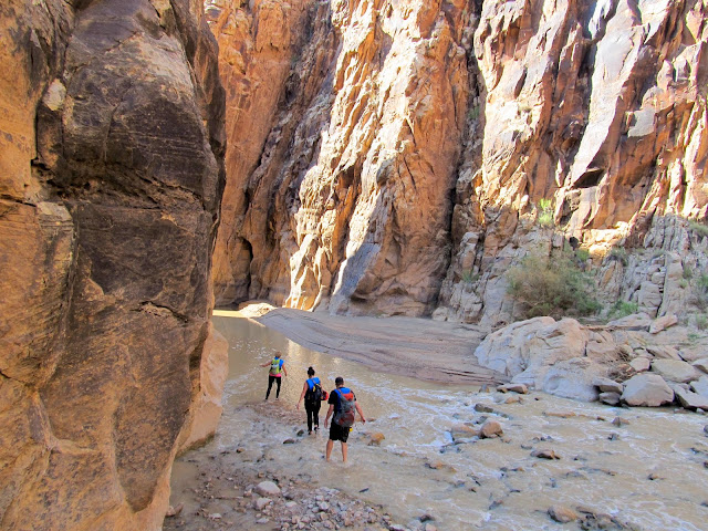
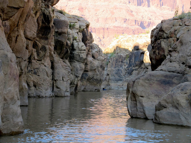
Once at the bottom of the second rappel, everyone switched from rappel mode to swim mode. Each of us had a PFD, but I'd accidentally brought my son's instead of my own--they look very similar--so I hiked the canyon with it strapped to my pack. We made one last downclimb from the rockfall using a handline, but from that point on there were no real obstacles except for the occasional submerged, knee-banging boulder. We had to swim almost immediately after entering the water. After a short swim, though, we could walk while trying to avoid rocks and boulders hidden by the murky water.
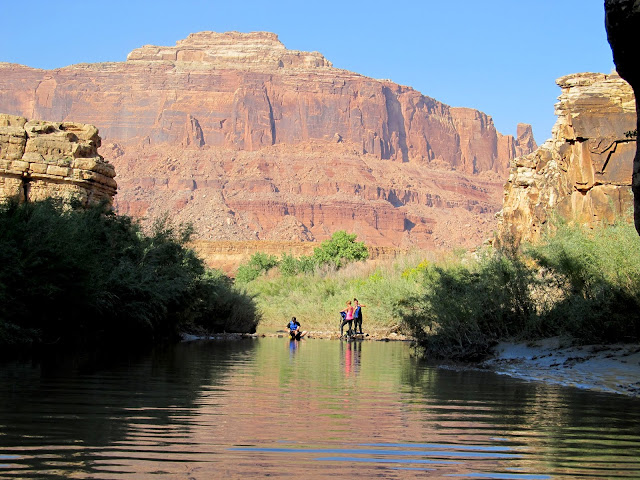
Karin, Chris, and Katie overlooking the San Rafael River
View up the rappel
View upstream along the San Rafael
Switching from rappel mode to swim mode
One final awkward downclimb using a handline to get into the river
We immediately encountered a deep swim
Floating down the river
Draining Chris' pack
Katie and Karin
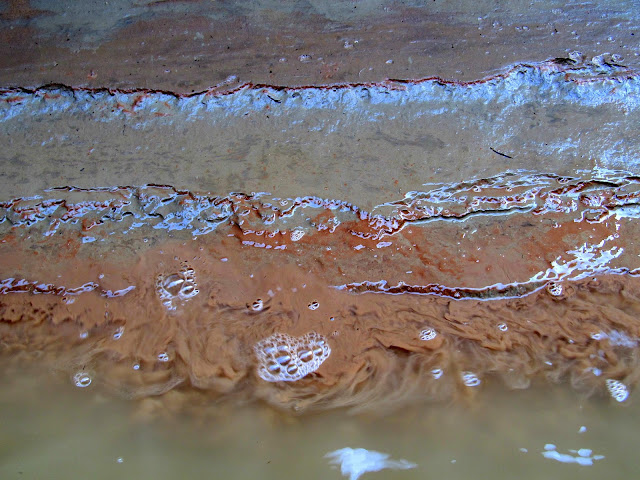
Mud layers on the shore
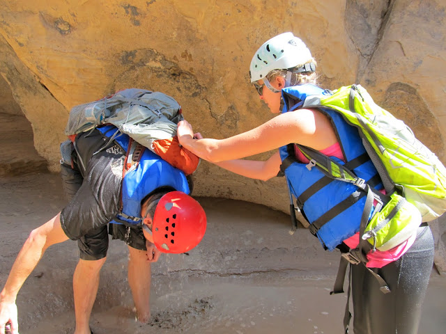
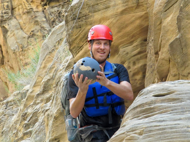
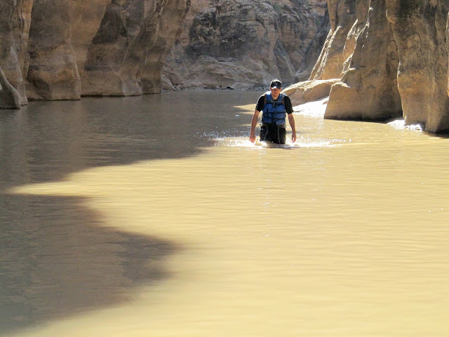
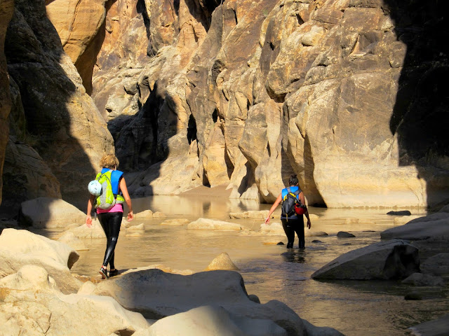
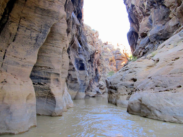
Walking through the canyon was challenging at first. It took me a little while to learn to walk while leading with my toes instead of my knees. On average the water was knee- to waist-deep, but it also ranged from a few inches to probably a dozen or more feet deep. I carried my camera through about 95% of the canyon and put it in a dry box for the swimmers. Among the few items we found in the canyon were a broken canoe paddle and, of all things, a bolwing ball perched 12 feet above the current water level!
Chris and the bowling ball that he packed out of the canyon
Mud
A swimmer
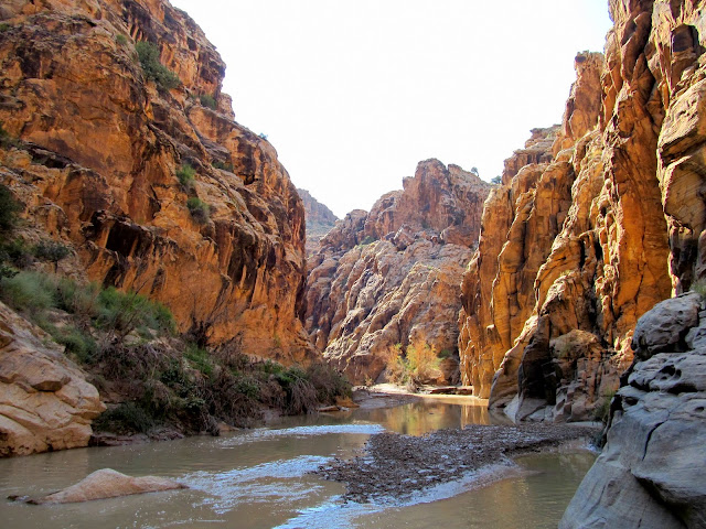
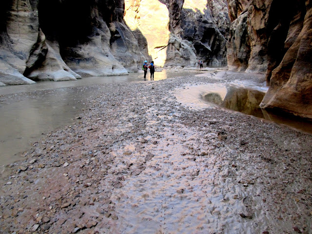
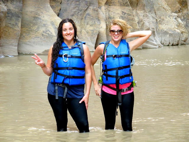
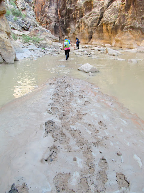
Just before the end of the Upper Black Box was a lengthy swimming section several hundred feet long. Wedged between the narrow canyon walls was a large tree perhaps 20 feet above the water. The mud was pretty bad just before and after this section and I nearly got stuck a couple of times. We exited the river and I was sad to see it go--we'd only been in the water for just over two hours. Luckily it was a short hike back to the vehicles. Chris and I detoured slightly to find a geocache while Karin and Katie went ahead. Shortly after we got back to the Jeeps the girls left, then Chris and I retrieved the rope before starting our drive home. Along the way were some nice, hazy views of the cliffs north of the San Rafael River. A couple of buck deer surprised us, heading away from the road and toward the river.
A long swim ahead
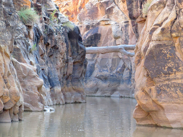
Tree lodged between the canyon walls
At the end of the Upper Black Box
Exiting up a wash
View down the exit toward Mexican Mountain
Almost to the old road
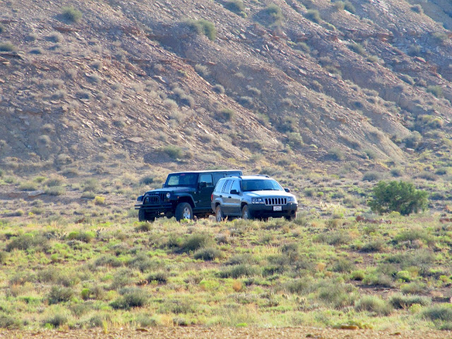
Jeeps at the trailhead
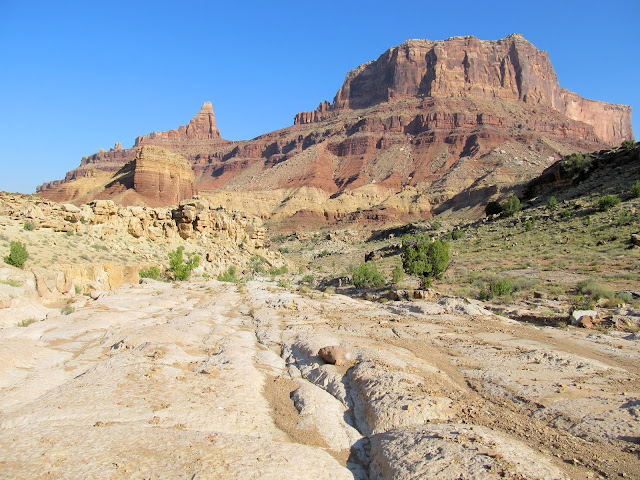
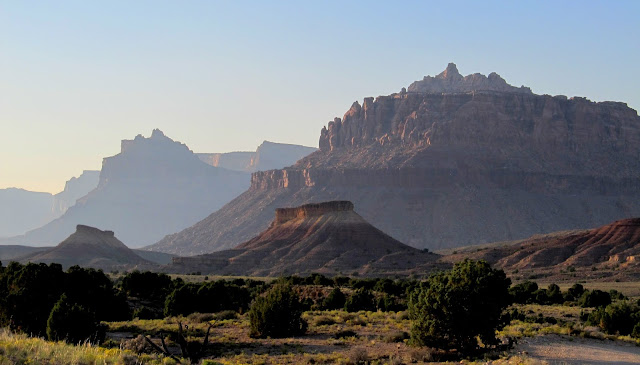
Cliffs above the San Rafael River
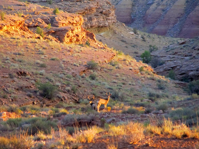
Two bucks heading toward the river at sunset
The San Rafael had been flowing at between 12-14 CFS during our trip and the air temperature was about 85 degrees. The water temperature was perfect and none of us ever felt cold beyond the first immersion. Conditions were nearly perfect and I wouldn't hesitate to do this trip again under the same conditions.
Photo Gallery: Upper Black Box
GPS Tracklog and Waypoints:
[Google Earth .KMZ] [Google Maps] [Gmap4 Topo]
Featured image for home page:

Gearing up at the trailhead
Road-walking to the canyon rim
Side canyon leading to the Upper Black Box
Side canyon leading to the Upper Black Box
First view of the Black Box
We spent some time searching for existing rappel anchors and found two sets: one high and easily accessible and one down low requiring a sketchy downclimb. We set up a 200' rope on the upper anchor but couldn't see whether it reached the bottom, so Chris came up with another plan. He tried and succeeded at climbing down to and back up from the lower anchor, so we set up a short rappel (double-strand rope anchored to a sling around a tree) to get everyone down to the lower anchor, then pulled the rope and fixed it single-strand at the lower anchor. Chris and I returned after the hike to retrieve the rope and tree-sling. It was Katie's first time rappelling and she did well with amazingly no hesitation. For both raps, Chris went first, then Karin, Katie, and finally me. It had taken two hours since leaving the vehicles to reach the bottom of the canyon.
Chris downclimbing to check out the rappel anchors
Karin on the first stage of the rappel
The appropriately-named Black Box
Katie on rappel
Setting up the second rappel
Spire on Mexican Mountain
Chris on rappel
Karin on rappel with Chris belaying
Katie near the bottom of the rappel
Once at the bottom of the second rappel, everyone switched from rappel mode to swim mode. Each of us had a PFD, but I'd accidentally brought my son's instead of my own--they look very similar--so I hiked the canyon with it strapped to my pack. We made one last downclimb from the rockfall using a handline, but from that point on there were no real obstacles except for the occasional submerged, knee-banging boulder. We had to swim almost immediately after entering the water. After a short swim, though, we could walk while trying to avoid rocks and boulders hidden by the murky water.
Karin, Chris, and Katie overlooking the San Rafael River
View up the rappel
View upstream along the San Rafael
Switching from rappel mode to swim mode
One final awkward downclimb using a handline to get into the river
We immediately encountered a deep swim
Floating down the river
Draining Chris' pack
Katie and Karin
Mud layers on the shore
Walking through the canyon was challenging at first. It took me a little while to learn to walk while leading with my toes instead of my knees. On average the water was knee- to waist-deep, but it also ranged from a few inches to probably a dozen or more feet deep. I carried my camera through about 95% of the canyon and put it in a dry box for the swimmers. Among the few items we found in the canyon were a broken canoe paddle and, of all things, a bolwing ball perched 12 feet above the current water level!
Chris and the bowling ball that he packed out of the canyon
Mud
A swimmer
Just before the end of the Upper Black Box was a lengthy swimming section several hundred feet long. Wedged between the narrow canyon walls was a large tree perhaps 20 feet above the water. The mud was pretty bad just before and after this section and I nearly got stuck a couple of times. We exited the river and I was sad to see it go--we'd only been in the water for just over two hours. Luckily it was a short hike back to the vehicles. Chris and I detoured slightly to find a geocache while Karin and Katie went ahead. Shortly after we got back to the Jeeps the girls left, then Chris and I retrieved the rope before starting our drive home. Along the way were some nice, hazy views of the cliffs north of the San Rafael River. A couple of buck deer surprised us, heading away from the road and toward the river.
A long swim ahead
Tree lodged between the canyon walls
At the end of the Upper Black Box
Exiting up a wash
View down the exit toward Mexican Mountain
Almost to the old road
Jeeps at the trailhead
Cliffs above the San Rafael River
Two bucks heading toward the river at sunset
The San Rafael had been flowing at between 12-14 CFS during our trip and the air temperature was about 85 degrees. The water temperature was perfect and none of us ever felt cold beyond the first immersion. Conditions were nearly perfect and I wouldn't hesitate to do this trip again under the same conditions.
Photo Gallery: Upper Black Box
GPS Tracklog and Waypoints:
[Google Earth .KMZ] [Google Maps] [Gmap4 Topo]
Featured image for home page:
")
