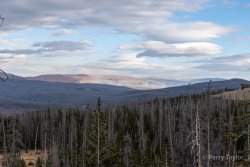
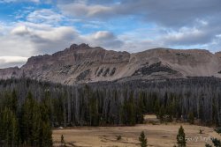
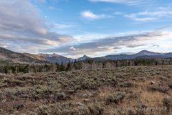
Uintas Conditions 2020

I was up there Friday morning dayhiking around the Clyde Lake area and they weren't bad. We wore bug spray and saw a few when we would stop, but it wasn't bad at all.

Not the most helpful update though because evening is when they start getting bad.

Ended up near Clyde/Three Divide Lakes etc from Friday to Sunday.
Bugs are dropping off, just a little annoying. I do not use bug spray, just long sleeves and such, but only had a few bites over 3 days.

The flowers are about peaked and even though there was little monsoon until this past week, they were about as good as last year.
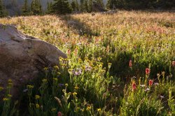
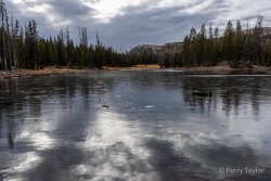
Salamander Camp 7-20200488-sm-sh.jpg
We need @scatman here but, flea bane, paintbrush and others were exceedingly plentiful.
I let the boys and nephews sleep in, and sat here for an hour Sunday morning before packing up to go home. Long enough for a pika to gain confidence and creep up to me to harvest some grass, and for a hummingbird to think my orange hat was a flower a few times. Only killed two mosquitoes and flipped off a couple spiders that whole time.
 
Ended up near Clyde/Three Divide Lakes etc from Friday to Sunday.
Bugs are dropping off, just a little annoying. I do not use bug spray, just long sleeves and such, but only had a few bites over 3 days.

The flowers are about peaked and even though there was little monsoon until this past week, they were about as good as last year.

We need @scatman here but, flea bane, paintbrush and others were exceedingly plentiful.
I let the boys and nephews sleep in, and sat here for an hour Sunday morning before packing up to go home. Long enough for a pika to gain confidence and creep up to me to harvest some grass, and for a hummingbird to think my orange hat was a flower a few times. Only killed two mosquitoes and flipped off a couple spiders that whole time.

Beautiful shot! Now is the time to be up high. I'm planning on hiking Nebo for the first time on August 5th, and I'm crossing my fingers that there will still be some flowers showing off for us as we make our way to the summit.
 
https://kutv.com/news/local/shingle-creek-fire-erupts-east-of-heber-city-in-summit-county


“A new wildfire -- the Shingle Creek Fire -- erupted Saturday afternoon near Norway Flats in Summit County, northeast of Heber City.

The human-caused fire is between 20-30 acres in size and is burning in some heavy timber areas on the north side of the Mirror Lake Highway, near mile marker 11.

Firefighting crews are using two heavy air tankers, three helicopters, and six engines to battle the blaze.

Campers int he Norway Flat area were evacuated. No structures are reported damaged or to be in danger.

While the fire is human caused, it's origin is still under investigation”
 
Last edited:
DUCHESNE COUNTY, Utah — Crews are working to contact hikers and guide them out of certain areas in the High Uintas Wilderness Area potentially threatened by a wildfire.

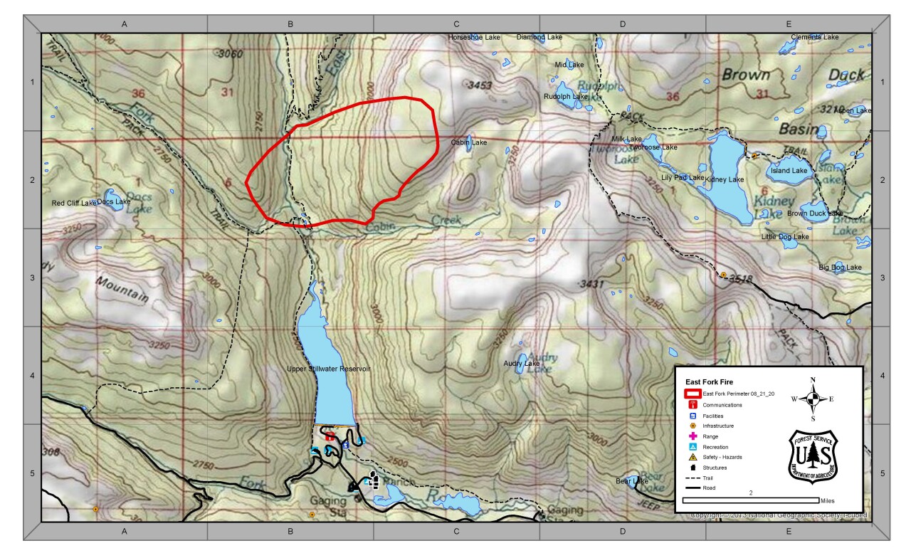
The "East Fork Fire" is estimated at 850 acres with no containment as of Saturday afternoon. It was started Friday morning about half a mile north of the Upper Stillwater Reservoir.

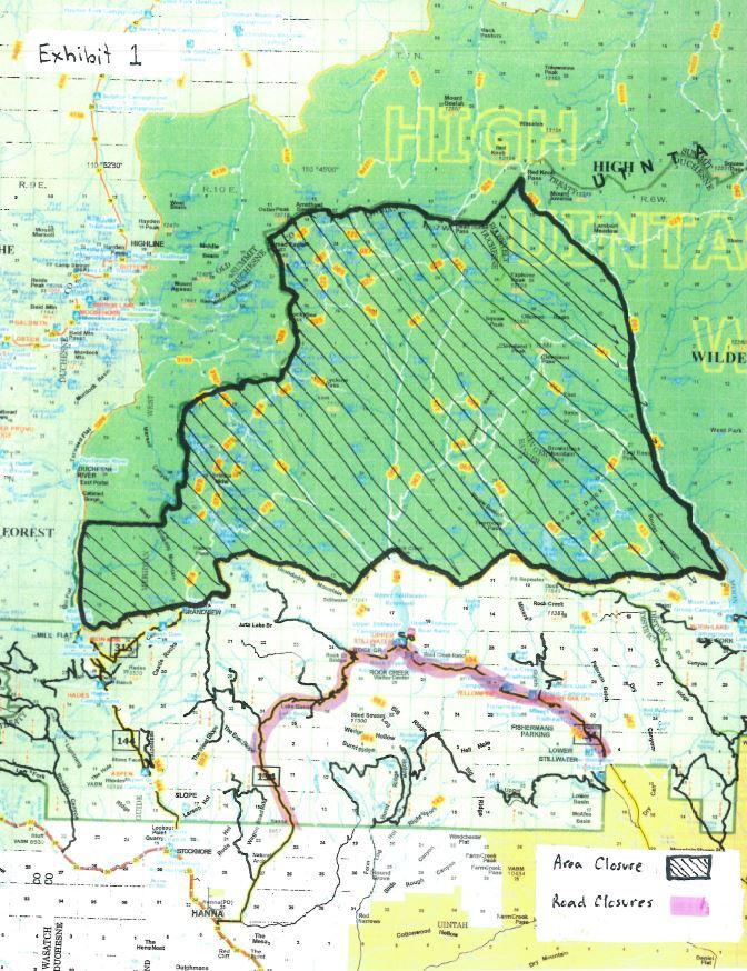
The Ashley National Forest has issued closures for all of the High Uintas Wilderness Area west of the Lake Fork Trail (the trail itself is not closed, however), and from the Highline Trail (closed in some sections) to the Ashley National Forest boundary.

90

Two roads have been closed: the Blindstream Road at the Forest boundary north of Hannah, and the Rock Creek Road at the intersection with Forest Service Road 198, which goes to the Lower Stillwater Ponds Picnic Area.

90

(Click here to view a full-resolution PDF version of this closure map)

Smokejumpers and a pack mule team are contacting hikers in the threatened areas and guiding them out, primarily through the "Granddaddy" and "Moonlake" trailheads, the forest service said.

Rock Creek Resort and Yellow Pine Campground were evacuated Friday night.

 
This is an awesome resource! Thanks for all the condition updates. Quick question for those who might have a little more insight than me...

Is there a detour of sorts to get around the section of the Highline that is closed? I'm planning on doing the Highline here in a few weeks. I was looking at the ridge from Dead Horse Pass heading west, but am wondering if there's anything else someone might be aware of. Thanks!
 
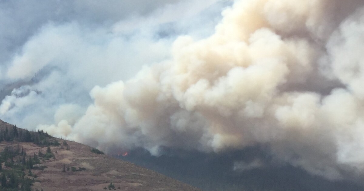
I called this in to NUIFC this evening just to make sure they were aware. This is from Bald Mountain Pass looking east. Rocky Sea Pass is on the left of the distant ridge. They confirmed it is part of the East Fork Fire. Looks like it has made it up to around Lake Olga or so. Hopefully tomorrow's snow will knock it down.

DSC01256.jpg
 
Back
Top