DaveW
Member
- Joined
- Mar 24, 2017
- Messages
- 6
Note: This trip report is an experiment. I already have a slide show so I'll try importing it here. However, the slides include embedded text, so this definitely will look different from other reports! The resolution may be an issue as well, since my slides are 960x720. Please let me know if this is not acceptable and I'll go back and use the original (unaltered) photos.
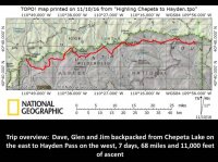
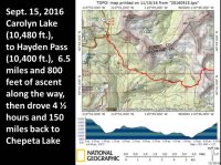
I have hiked much of the Uinta Highline Trail in past years, but I always wanted to do the "whole thing". This should take about 10 days for the full 104 miles ( https://en.wikipedia.org/wiki/Uinta_Highline_Trail) but we settled for a 7-day trip from Chepeta Lake to Hayden Pass to accommodate a backpacking companion's schedule.
Our plan was to backpack about 10 miles each day, camping near the base of passes when possible so we could get over the top before any afternoon storms.
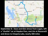
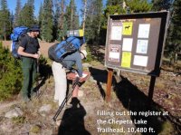
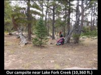
We car camped a couple of miles south of Chepeta Lake for an early start in the morning.
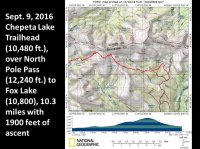
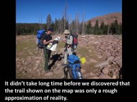
This also meant our GPS waypoints (derived from online maps) were approximations. We always followed the cairns.
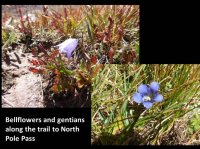
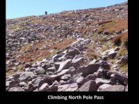
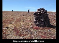
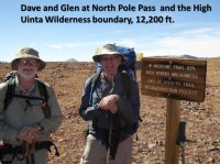
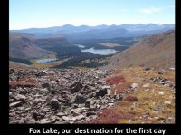
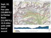
Topo maps show the Highline Trail skirting the north shore of Brook Lake, on the left. We followed cairns on a more direct route to Fox Lake (see map below - and also note the discrepancy on North Pole Pass).

This clip shows the difference between the trail shown on the topo maps (red) and our actual GPS track (blue)
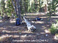
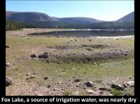
The muddy shoreline and silty water hindered us in our attempt to refill and purify our water supply.
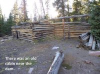
There was a good camping area here, too, but we camped a little further up-trail.
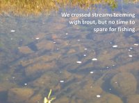
Brook trout - you can see the white edge on their fins.
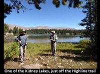 There was a concrete pad nearby, remnants of a long-gone cabin.
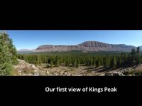
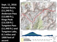
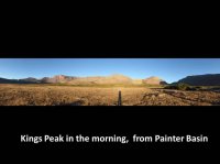
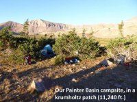
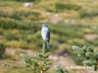
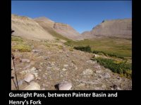
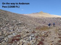
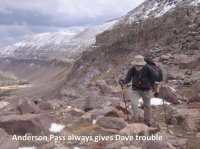
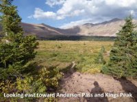
This was at least the fifth time I've climbed Anderson Pass, and it wipes me out, every time. This day it was hold-onto-your-hat windy, too.
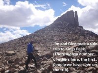
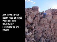
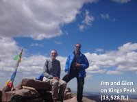
It was a pleasant surprise to find calm winds on the peak yet it was blowing hard on the pass.
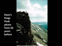
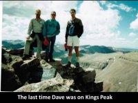
For this latest trip I rested at the top of the pass while Jim and Glen climbed the peak.
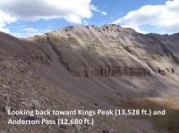
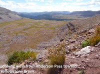
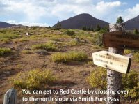
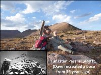
Tungsten Pass isn't much of a climb, but it's a pass because it separates Yellowstone Creek and Gibson Basin.
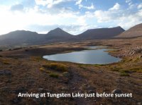
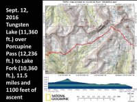
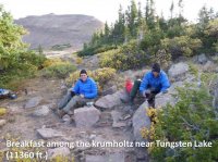
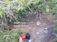
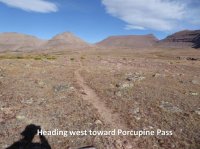
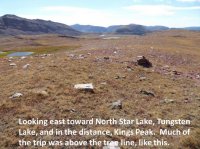
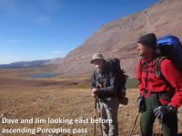
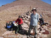
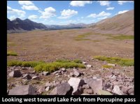
When I was here before, the entire basin was filled with sheep - you could hear the bleating all the way from the top of the pass. I couldn't hike fast enough to get away from the smell, noise and polluted water.
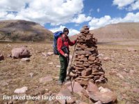
The sheep make a network of parallel trails, so it's easy to get off-track without the cairns.
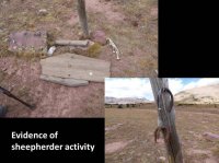
There was a sheep skeleton along the trail, but I didn't get a photo.
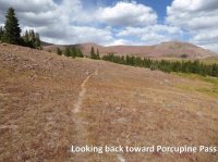
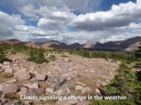
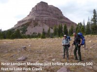
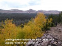
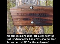
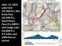
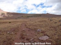
The sheep trails got us a little off-track near here, but we followed the cairns back to the main trail.
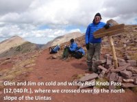
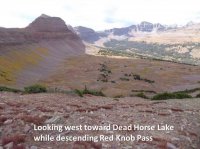
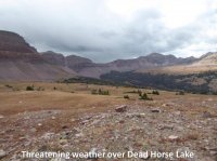
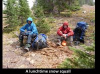
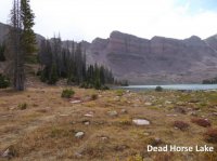
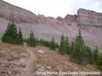
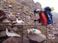
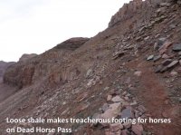
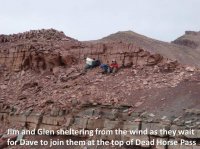
Jim and Glen were faster on the uphill sections, but I usually made up for the delay on the way down.
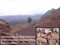
Pieces of horse tack in the cairn.
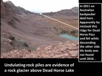
It's also possible that he was intimidated by snow on Dead Horse Pass, but he already had shown difficulty with navigation: https://www.ksl.com/?sid=41221928&n...-provides-peace-answers-for-australian-family
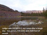
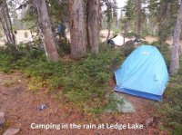
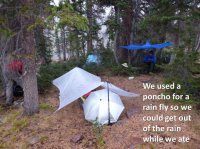
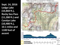
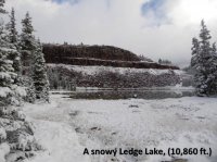
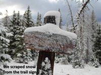
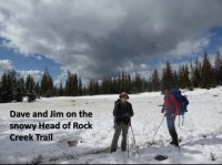
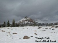
I'm not sure if this is it's real name, but I have heard it called this (it's right next to Triangle Lake.)
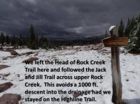
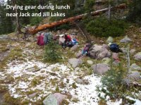
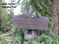
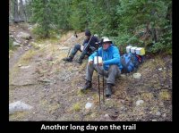
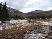
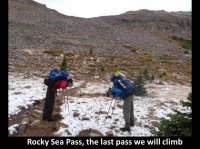
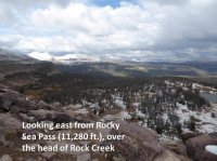
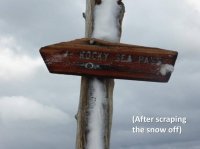
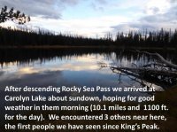
I would have preferred to follow the Head of Rock Creek Trail, one of my favorite places in the Uintas, but the weather and distance to our next camp prompted us to take the Jack and Jill short cut. I do NOT recommend following the Highline Trail here because it drops deeply into the Rock Creek drainage before climbing back up to Rocky Sea Pass.
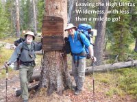
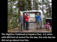
The Forest Service had closed the trailhead for the season while we were in the backcountry. We pulled back the protective plastic sheet for our photo, loaded into our car and drove past the (partially closed) gate on the way out.
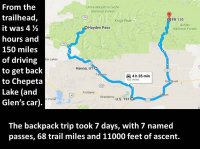

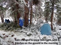
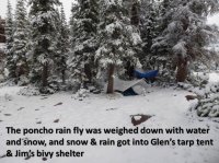
It was a good trip. We were prepared for the weather, although I wish I had brought my winter sleeping bag. It would have been nice to have the longer days of summer for our trip since there often wasn't much daylight left by the time we got to camp.
The next trip: the eastern Highline Trail, between US-191 and Chepeta Lake?
I have hiked much of the Uinta Highline Trail in past years, but I always wanted to do the "whole thing". This should take about 10 days for the full 104 miles ( https://en.wikipedia.org/wiki/Uinta_Highline_Trail) but we settled for a 7-day trip from Chepeta Lake to Hayden Pass to accommodate a backpacking companion's schedule.
Our plan was to backpack about 10 miles each day, camping near the base of passes when possible so we could get over the top before any afternoon storms.


We car camped a couple of miles south of Chepeta Lake for an early start in the morning.


This also meant our GPS waypoints (derived from online maps) were approximations. We always followed the cairns.


Topo maps show the Highline Trail skirting the north shore of Brook Lake, on the left. We followed cairns on a more direct route to Fox Lake (see map below - and also note the discrepancy on North Pole Pass).

This clip shows the difference between the trail shown on the topo maps (red) and our actual GPS track (blue)


The muddy shoreline and silty water hindered us in our attempt to refill and purify our water supply.

There was a good camping area here, too, but we camped a little further up-trail.

Brook trout - you can see the white edge on their fins.
 There was a concrete pad nearby, remnants of a long-gone cabin.


This was at least the fifth time I've climbed Anderson Pass, and it wipes me out, every time. This day it was hold-onto-your-hat windy, too.


It was a pleasant surprise to find calm winds on the peak yet it was blowing hard on the pass.


For this latest trip I rested at the top of the pass while Jim and Glen climbed the peak.


Tungsten Pass isn't much of a climb, but it's a pass because it separates Yellowstone Creek and Gibson Basin.


When I was here before, the entire basin was filled with sheep - you could hear the bleating all the way from the top of the pass. I couldn't hike fast enough to get away from the smell, noise and polluted water.

The sheep make a network of parallel trails, so it's easy to get off-track without the cairns.

There was a sheep skeleton along the trail, but I didn't get a photo.


The sheep trails got us a little off-track near here, but we followed the cairns back to the main trail.


Jim and Glen were faster on the uphill sections, but I usually made up for the delay on the way down.

Pieces of horse tack in the cairn.

It's also possible that he was intimidated by snow on Dead Horse Pass, but he already had shown difficulty with navigation: https://www.ksl.com/?sid=41221928&n...-provides-peace-answers-for-australian-family


I'm not sure if this is it's real name, but I have heard it called this (it's right next to Triangle Lake.)

I would have preferred to follow the Head of Rock Creek Trail, one of my favorite places in the Uintas, but the weather and distance to our next camp prompted us to take the Jack and Jill short cut. I do NOT recommend following the Highline Trail here because it drops deeply into the Rock Creek drainage before climbing back up to Rocky Sea Pass.


The Forest Service had closed the trailhead for the season while we were in the backcountry. We pulled back the protective plastic sheet for our photo, loaded into our car and drove past the (partially closed) gate on the way out.


It was a good trip. We were prepared for the weather, although I wish I had brought my winter sleeping bag. It would have been nice to have the longer days of summer for our trip since there often wasn't much daylight left by the time we got to camp.
The next trip: the eastern Highline Trail, between US-191 and Chepeta Lake?
Last edited:
