John Goering
Member
- Joined
- Sep 30, 2014
- Messages
- 495
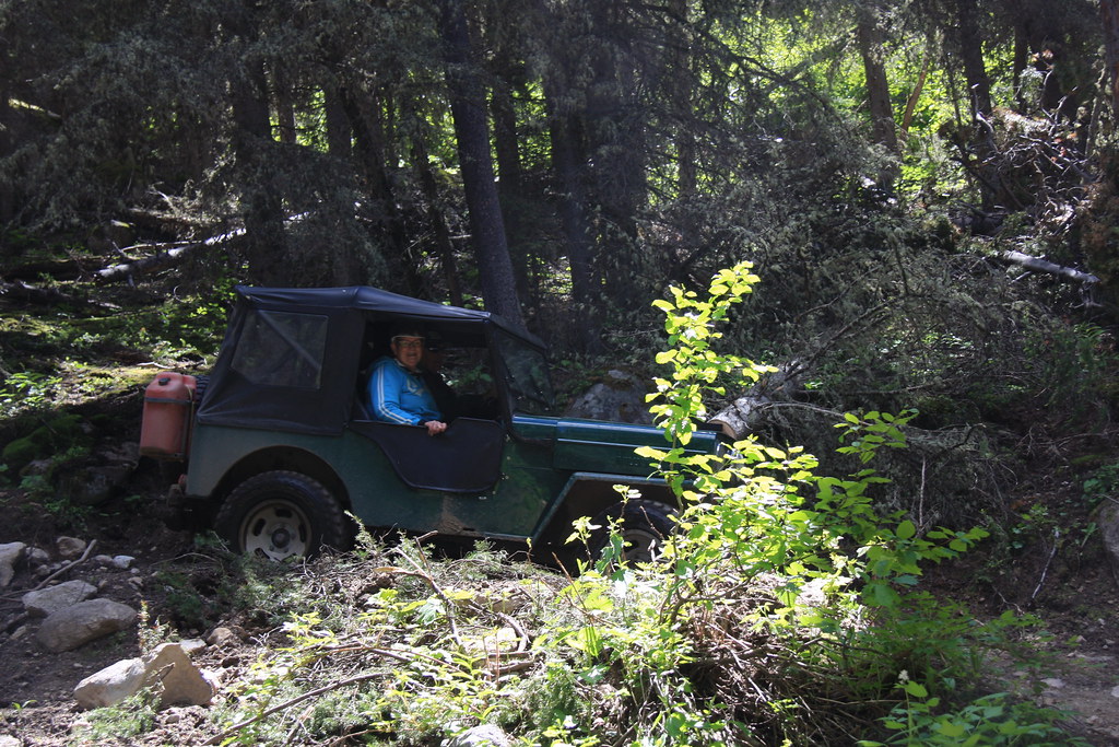
My wife and I met a couple from BC for a couple of days of seat time in our "antique" Jeeps. Day 2 was a Roots trip (day 1 was Bridger Range). We left our place and headed for North meadow Creek via the Revenue flats.
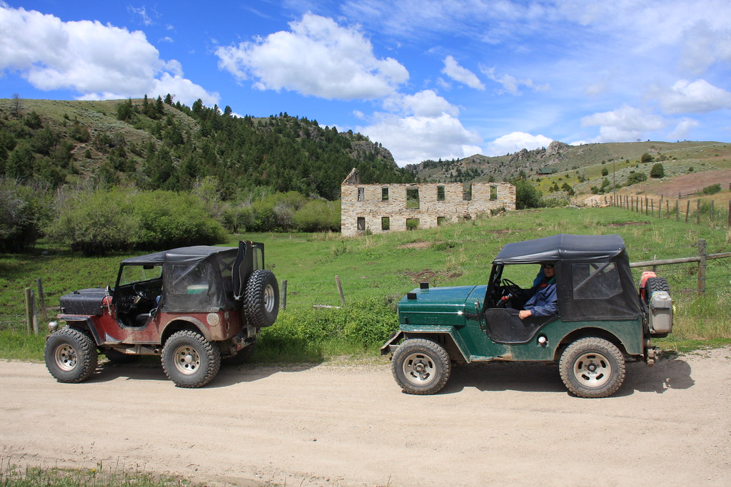
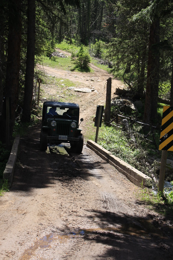
At Sterling on Swayback Road. Sterling remains a mystery to me. I have searched the Montana Historical Society site along with every ghost town site/publication and have not found a shred of information on it.
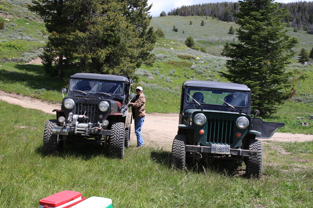
We ate lunch at Shurshot Lakes off FS Road 160.
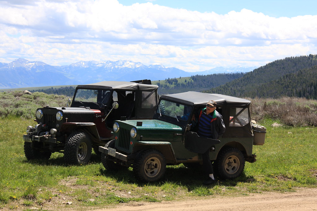
FS Road 160 eventually crosses a low pass into South Willow Creek. At the top of the pass with a little of Ward Peak on the horizon.

Looking east from pass. Lone Mountain to right, Pioneer and Flattop Mountains middle and Sphinx Mountainn right.
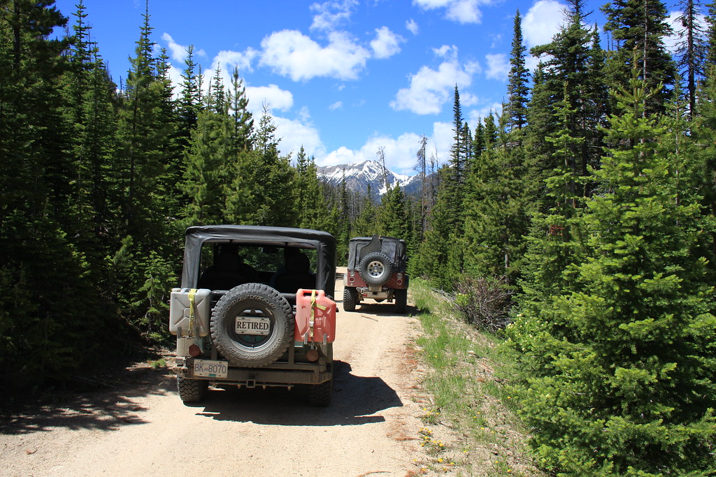
Heading into South Willow Creek. Little granite Peak in distance.
Heading down the switchbacks.
At South Willow Creek.
We went home through Pony, MT (another old mining town) but I didn't get any more photos.
At Sterling on Swayback Road. Sterling remains a mystery to me. I have searched the Montana Historical Society site along with every ghost town site/publication and have not found a shred of information on it.
We ate lunch at Shurshot Lakes off FS Road 160.
FS Road 160 eventually crosses a low pass into South Willow Creek. At the top of the pass with a little of Ward Peak on the horizon.
Looking east from pass. Lone Mountain to right, Pioneer and Flattop Mountains middle and Sphinx Mountainn right.
Heading into South Willow Creek. Little granite Peak in distance.
Heading down the switchbacks.
At South Willow Creek.
We went home through Pony, MT (another old mining town) but I didn't get any more photos.