Tobacco Root recon run

John Goering

Member
Joined
Sep 30, 2014
Messages
489
My wife and I took advantage of a little blue sky to make an approximately 5 hour trip to the Tobacco Roots, mainly to check snow levels.

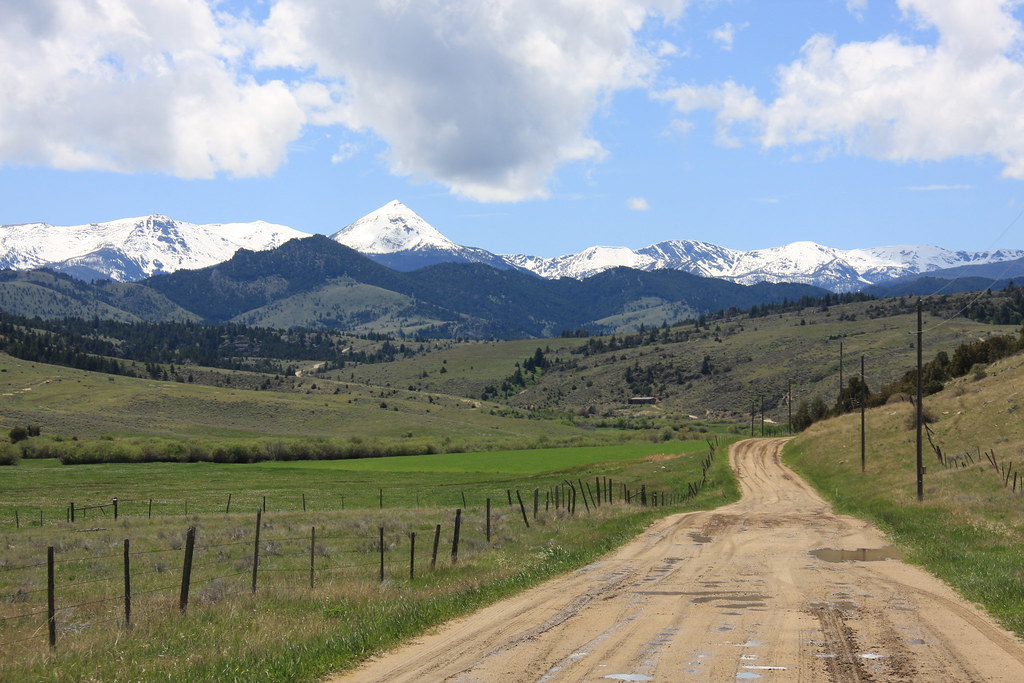
As usual, we hit Norris Road (MT 84) west from Bozeman, up 7 or 8 miles along the Madison River, to Norris. Then up Hot Springs Creek on Swayback Road (also called Sterling Road on some maps), over a low divide into North Meadow Creek. We hit Swayback Road just as a thunderstorm was leaving and it was a mess.

Ward Peak, Swayback Road.
18133524716_234b78c073_b.jpg


17972089418_c87bede97e_b.jpg


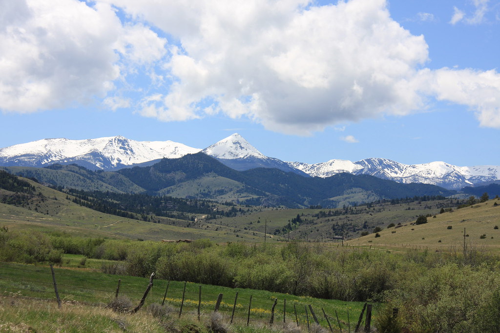
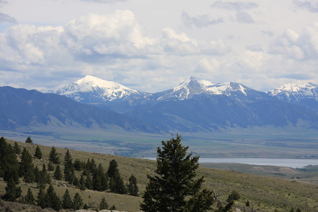
Just over the divide into N. Meadow drainage. Lone Mountain left, Cedar Mountain right, and Ennis Lake.
17973694999_d17280315e_b.jpg


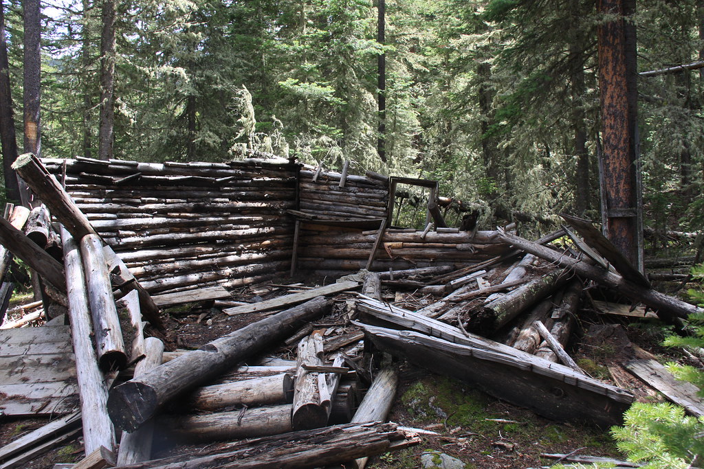
Remains of a cabin near the North Meadow Creek trailhead.
18156272962_a7ce5274e9_b.jpg


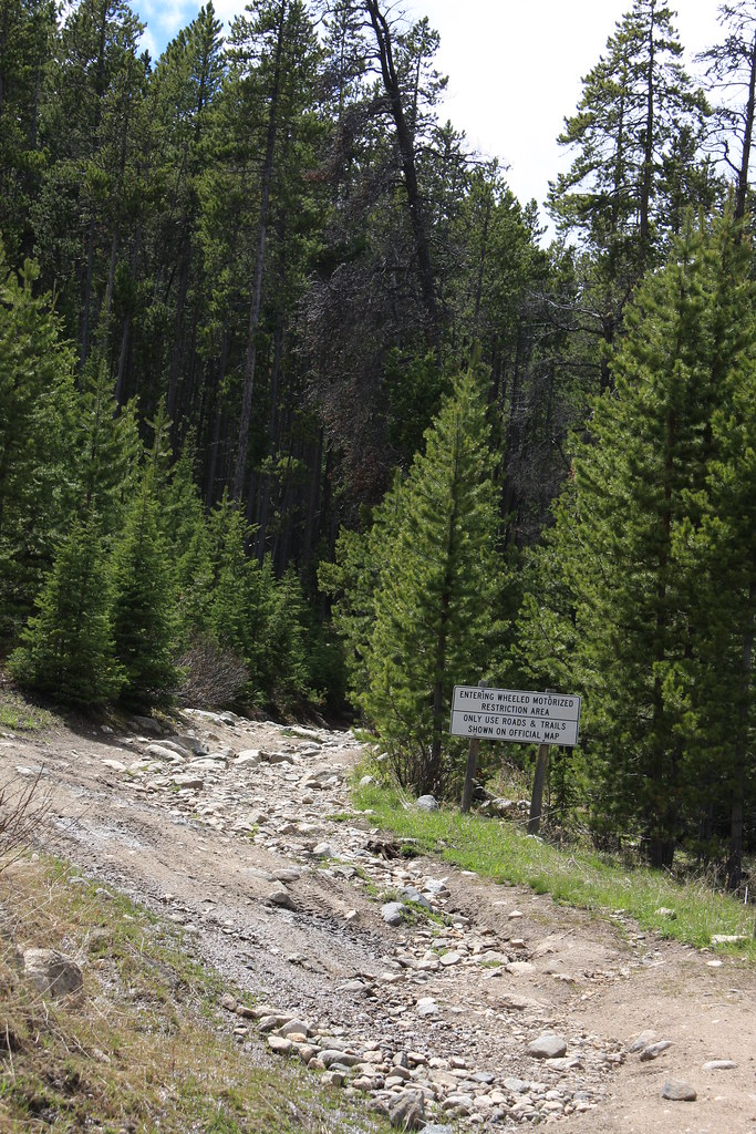
North Meadow Creek trailhead.
17972147280_a6e14fbfd0_b.jpg


FS 965.
18133234816_c05294fcab_b.jpg


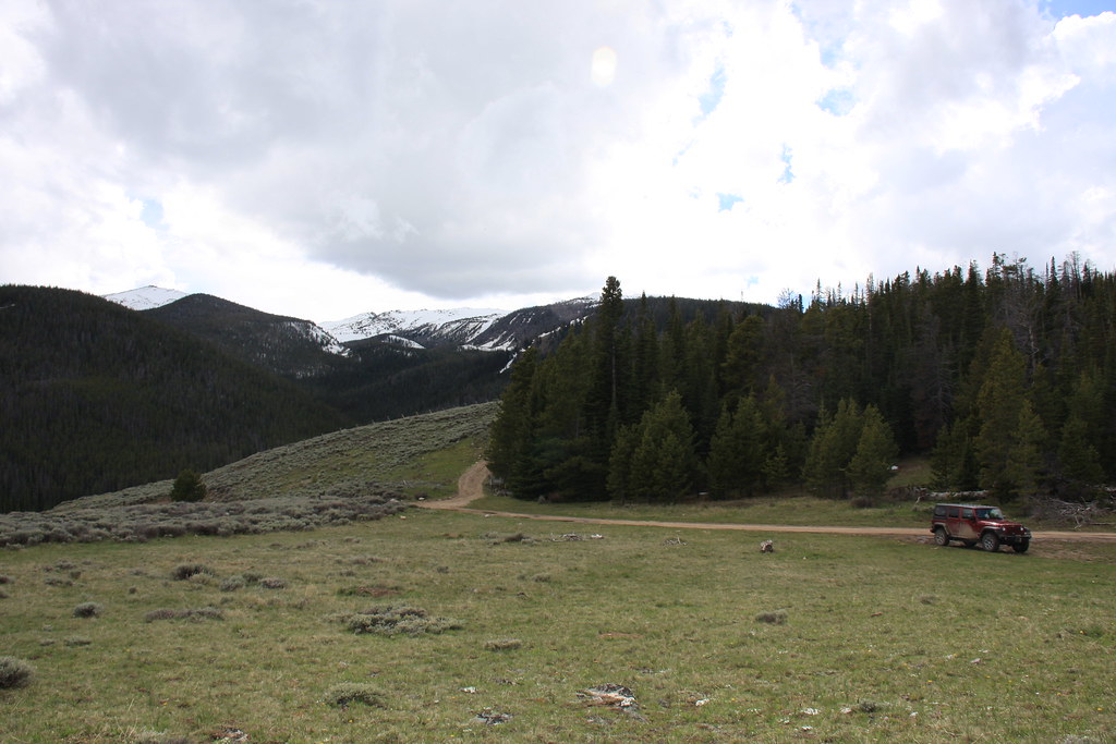
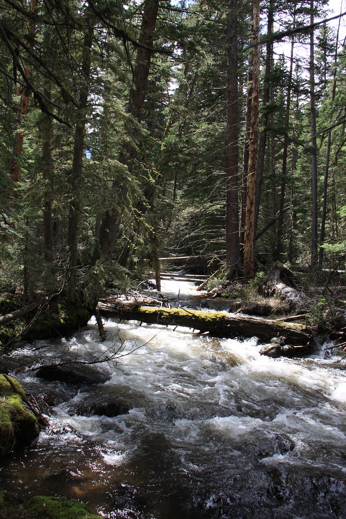
North Meadow Creek-rolling pretty good but not near as high as some years.
17972052800_29bcbbd570_b.jpg


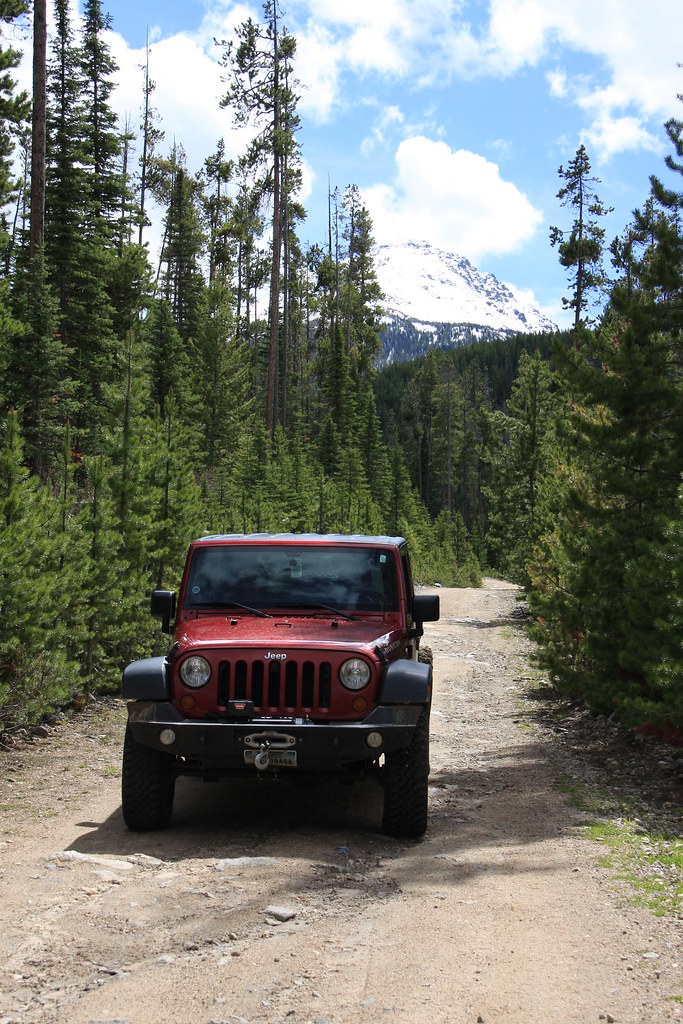
After poking around the trailhead area for a bit, we headed up FS 160 to Sureshot Lakes and the South Willow Creek Divide.
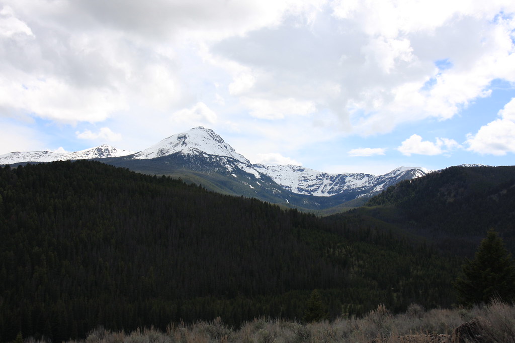
Ward Peak again.
17971966200_dfc47582a0_b.jpg


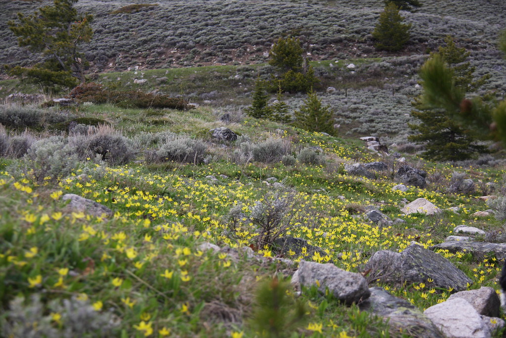
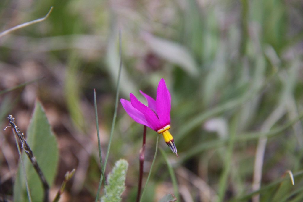
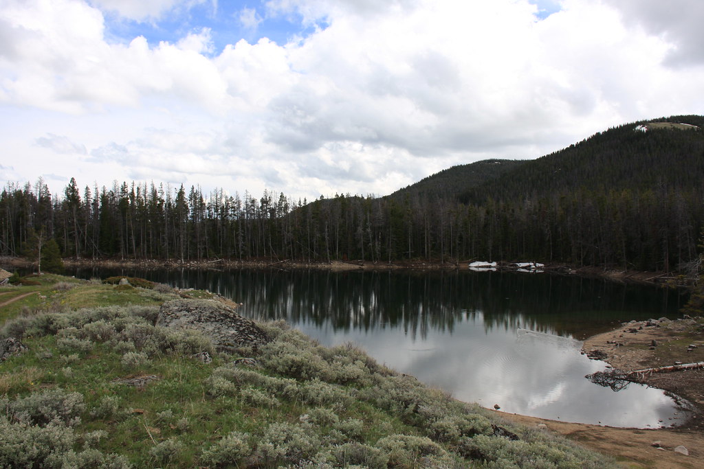
Lower Sureshot Lake-an abundance of 6" brookies and glacier lilies.
17971765148_2651362423_b.jpg


17973384389_be9a97a86e_b.jpg


At the divide.
18133004546_13dc7dbc65_b.jpg


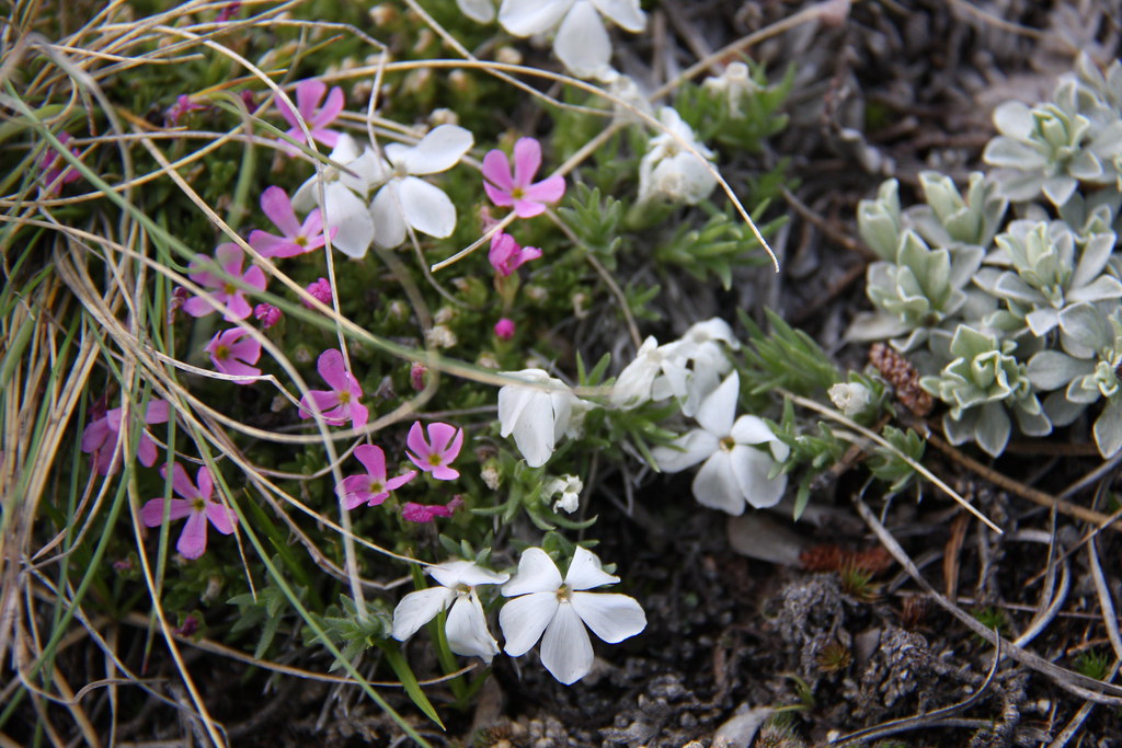
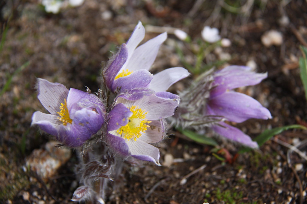
Lots of flowers on top, very little snow.
18132957796_5c0a51cf9b_b.jpg


17536840074_616b9ea8d0_b.jpg


17973239129_85e028f553_b.jpg


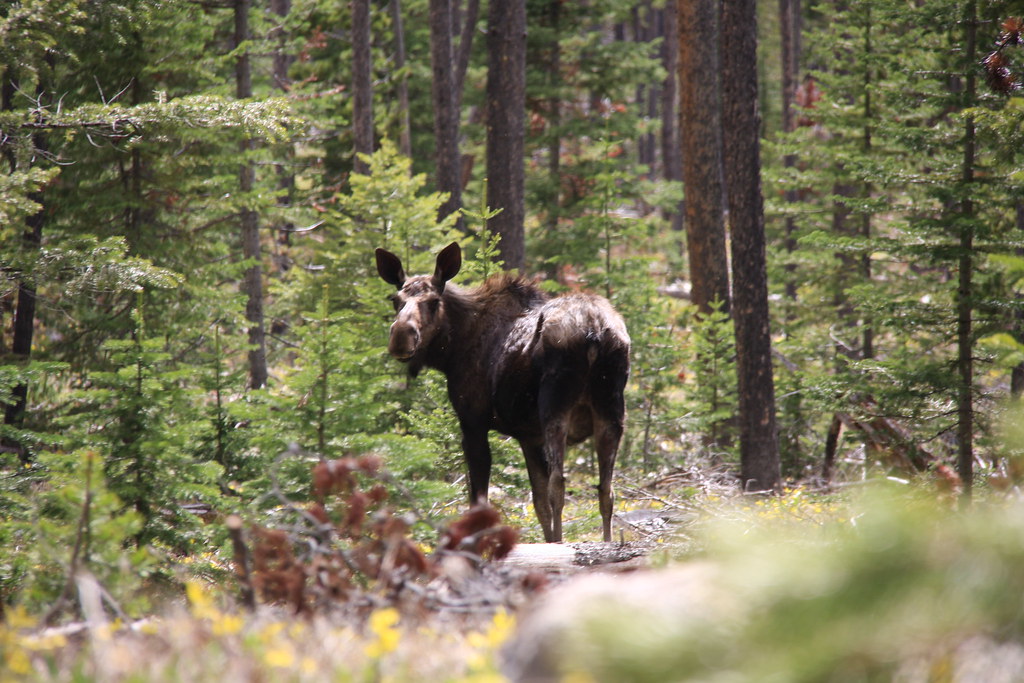
And bumped into this critter when heading back off the divide.
17536809174_e9d031d086_b.jpg


All in all, a well spent, if a bit muddy, afternoon.

Featured image for home page:
slide.jpg
 
Noob on the forum. I enjoy your posts on the Tobacco Roots! Great pics. Been to Louise/Lost Cabin a few times a couple years ago, but need to get down there more often. Hit Curly lake from the creek trail last week, ran into cow & calk moose (walking away from us ). A loop would be nice with two vehicles, or I'll just return and do the lake trail or go up Sailor. Long day trip from Helena, but need to find new trails!
 
Noob on the forum. I enjoy your posts on the Tobacco Roots! Great pics. Been to Louise/Lost Cabin a few times a couple years ago, but need to get down there more often. Hit Curly lake from the creek trail last week, ran into cow & calk moose (walking away from us ). A loop would be nice with two vehicles, or I'll just return and do the lake trail or go up Sailor. Long day trip from Helena, but need to find new trails!

Wow, my wife and I were at Curly last Tuesday and Wednesday. The intent was for a 2 nighter and a day hike to Beall but we woke up Wed morning to the patter of rain on the fly and some serious sound effects. The enthusiasm for cresting the divide into Beall Creek sort of dissipated. We did do the loop. Parked the Jeep at the Westphal Parks trailhead and came out Curly Creek. Did a power hike the 3 something miles back to retrieve the Jeep-only took an hour. One of these days, I'll get around to posting some more TR's-it's been a busy summer---------------

Our best friends live in Clancy-just spent a week with them in the Beartooth's.
 
Thanks! We just made it back to Helena before the big storm hit and set ererything on fire. I swear that the Lake trail was more like 4 miles, and my GPS agreed, though it's been acting hokey lately. My guess is that the Westphal trail is a good 1/2 hour from the Creek trail trail to do the 3 ± miles in my Jeep. I haven't been past the Louise trailhead, though my wife's Subaru made it that far. Don't know whether it would make Westphal. I might retire this year, as I'll turn 66 and don't want to wait till I slow down on the trails too much!
 
Thanks! We just made it back to Helena before the big storm hit and set ererything on fire. I swear that the Lake trail was more like 4 miles, and my GPS agreed, though it's been acting hokey lately. My guess is that the Westphal trail is a good 1/2 hour from the Creek trail trail to do the 3 ± miles in my Jeep. I haven't been past the Louise trailhead, though my wife's Subaru made it that far. Don't know whether it would make Westphal. I might retire this year, as I'll turn 66 and don't want to wait till I slow down on the trails too much!

At 66, you would fit right in the GGG's (geriatric geezers group). We had 3 couples along on our last Beartooth adventure on the Lake Plateau. 61, 63, 64, 65, 68, & 70.

I don't know about a Subaru getting to the Westphal Parks trailhead. We had a Forester before we bought the JK and I'm sure there would have been a few missing parts on the undercarriage getting up that, not to mention the burning clutch disc. That trail becomes a decidedly more Jeep trail after the Bismark trailhead road splits, but for Jeep trail, it's still on the mild side all the way up to the Sailor Lake trailhead. I've had my stock 97 GMC 2500 farm truck up it several times-back when we owned the Subaru.
 
Thanks again! I'm a die-hard day hiker, but not an over-nighter (I like my after-hike beer and my bed)! Traded my Power Wagon for a '15 JKUHR and just threw on some 34"s. My Jeeping mostly is to get me to a trailhead for hiking and snowshoeing. Keeps me "young." Take care.
 
Well, if the smoke's not too bad, I may try a hike to Curly up the Lake trail in the next few days. I'm just curious to see what it's like. Is there water along the trail? I pack my Steripen, and it can save me toting an extra quart of water. I'll allow some extra time to get to the Lake trailhead. About how much time does it take from the Curly Creek trailhed (only 3 miles, but the road is worse). Thanks for the conversation!
 
Back
Top