John Goering
Member
- Joined
- Sep 30, 2014
- Messages
- 502
Our most recent foray into this area was the second week of July. Like a lot of our trips, this one included some off-road Jeeping, backpacking, and hiking.
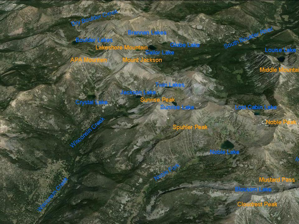
Access to this area is via Sheridan, Montana on US 287. Wisconsin Creek Road (FS 157 at forest boundary) exits US 287 about 3 miles west of Sheridan or you can take a short cut directly from town if approaching from the east. Access is the same as for Noble Fork except you stay on FS Road 157 to it's terminus. Lakes in this drainage include Crystal, Jackson, Twin Lakes, and Sunrise.
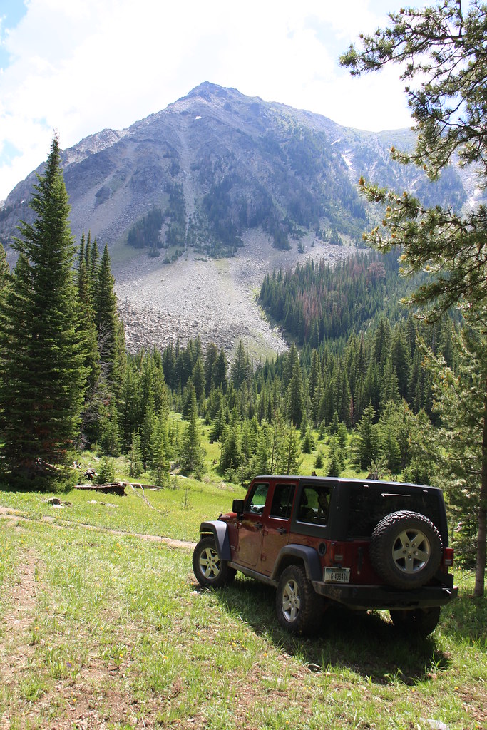
For this specific trip, we parked the Jeep at the designated trail head for both Crystal and the other lakes and backpacked to camp at Crystal. It is more than obvious, there are more than a few motorized use people who don't want to look at a travel plan let alone abide by one.
Trail head with Sunrise Peak behind.
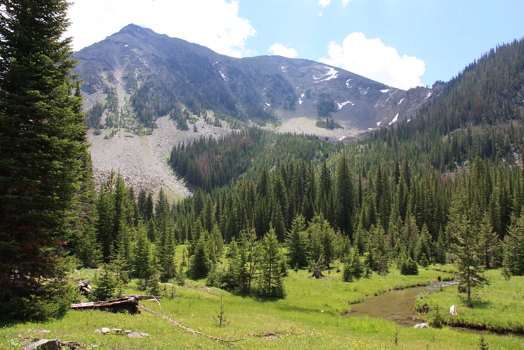
Wisconsin Creek/Sunrise Peak.
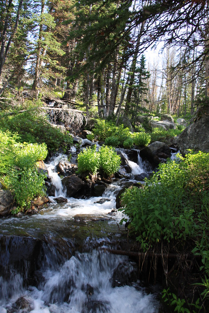
Stream below Crystal Lake.
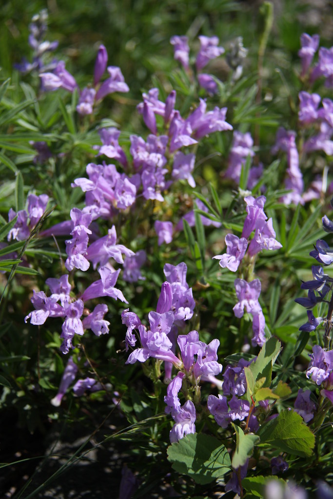
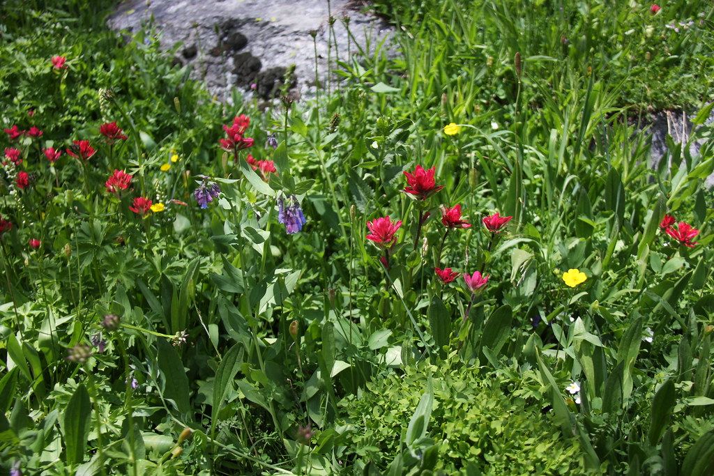
There are some nice Penstemon along the trail here.
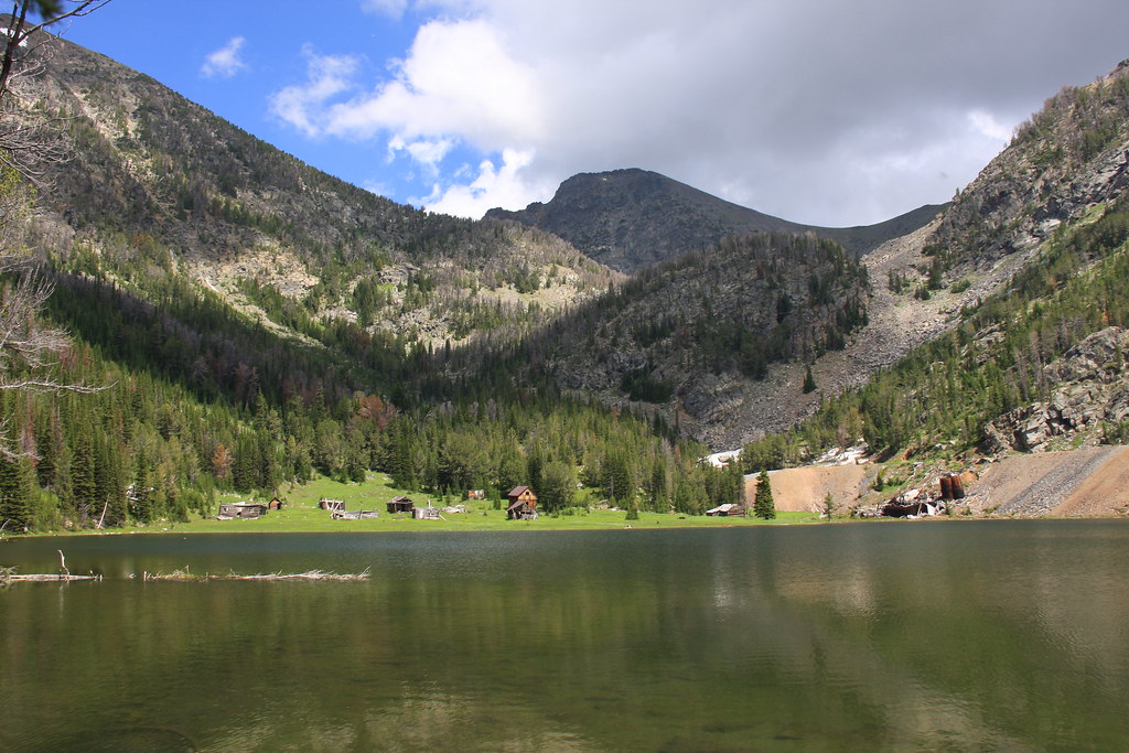
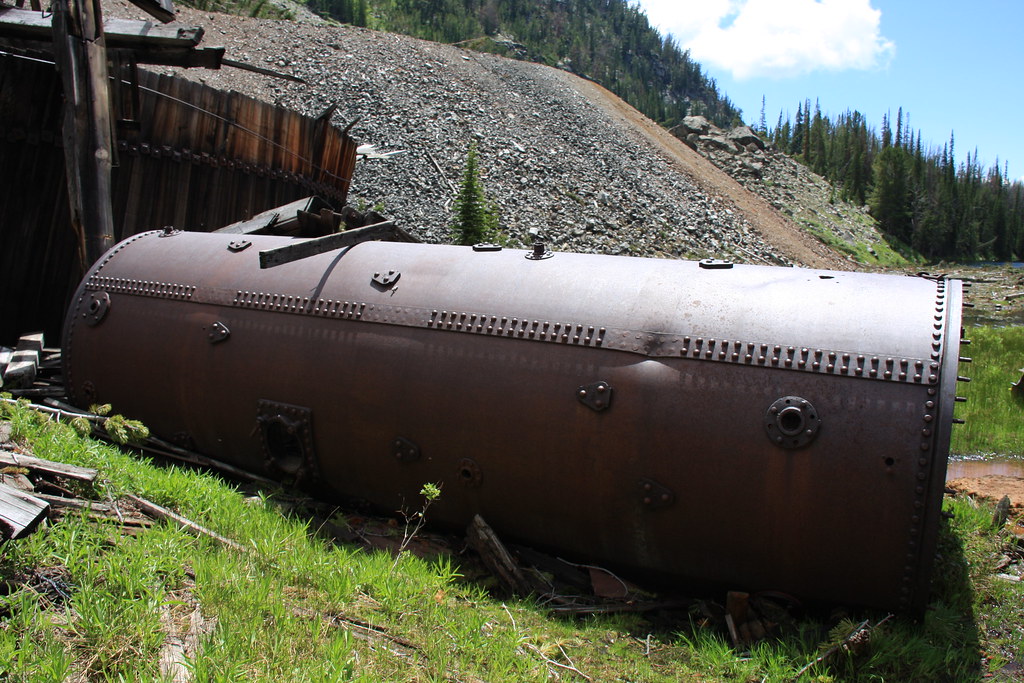
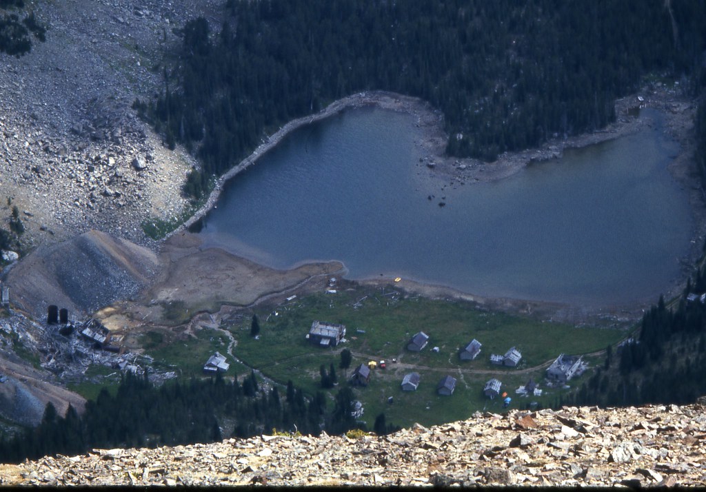
At Crystal Lake, the upper end of it is occupied by the Gladstone/Lakeshore mine. The original production here was in the 1910-1911 era. It was reopened in 1923 for several years and then reassessed in 1937 by additional development work but there was no further production. My first visit here was in 1970 and there were no restrictions on access. Now there is a locked gate and no trespassing signs which I suspect are to limit liability and prevent the remains from walking off. As with most mining claims, this one is currently owned by out-of-state interests.
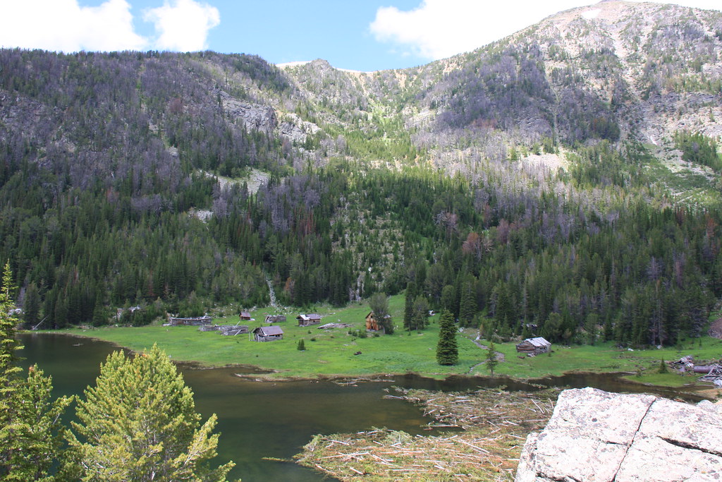
Crystal Lake and the Gladstone/Lakeshore Mine/Mill.
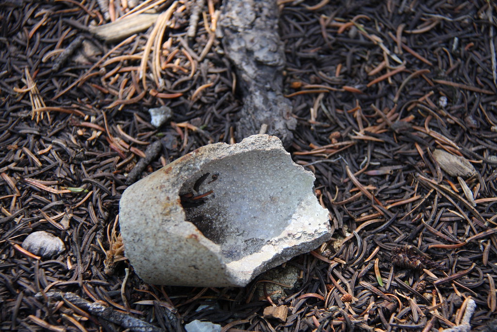
There are not a lot of decent camping sites here that are off the mining claims and we ended up sort of in the dump for the mine. True to tradition, the mine garbage dump was on FS property, not on the claims. Some interesting artifacts.
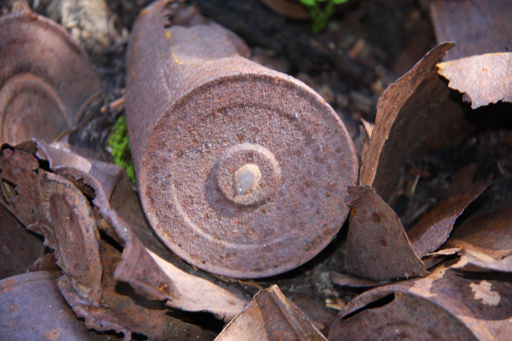
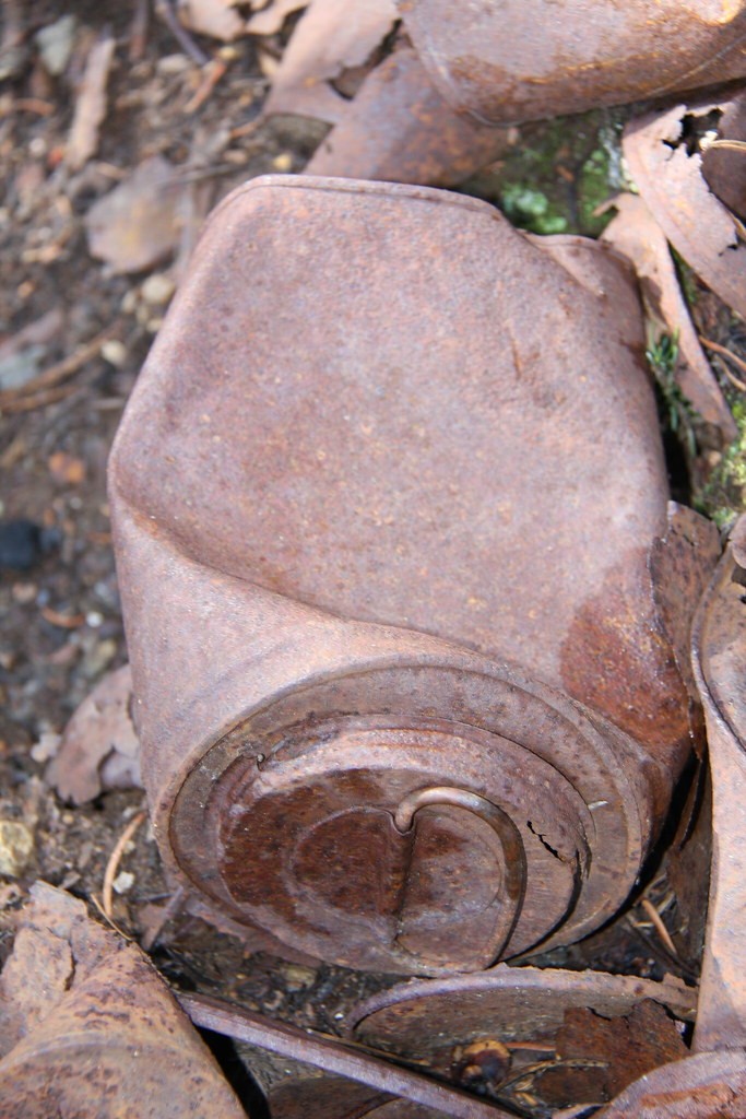
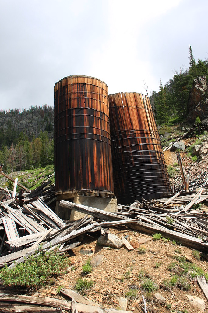
Mine/mill buildings and debris.
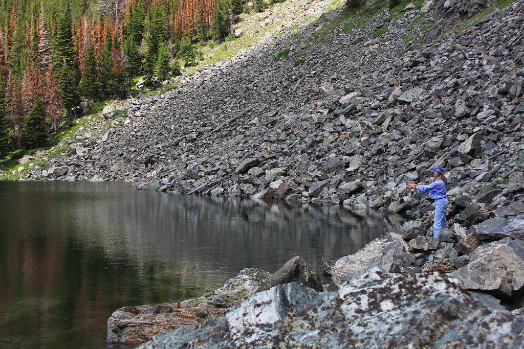
After throwing line at the lake and walking around most of it and finding no sign of any fish (there were fish here in 1970) we decided to pack up camp early the next morning, trade the backpacks for day packs at the Jeep and hike up to Jackson Lake. This trail is open to ATV's and although one went by us at the Jeep the previous day, none were here this day.
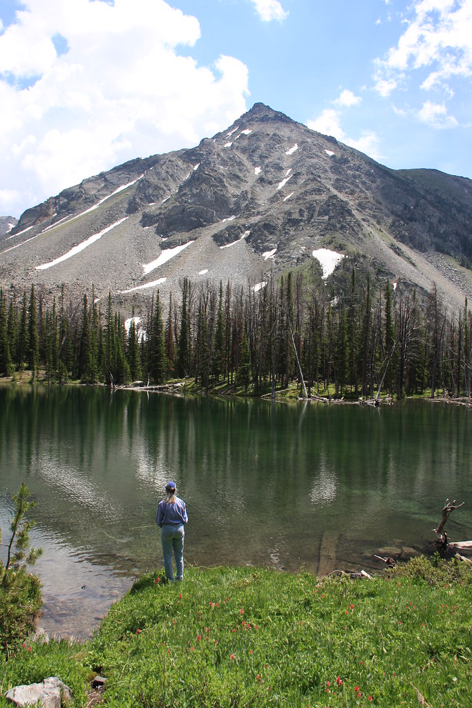
Jackson Lake/Sunrise Peak and my wife doing what she likes to do.
We spent several hours at Jackson and had a very pleasant lunch there.
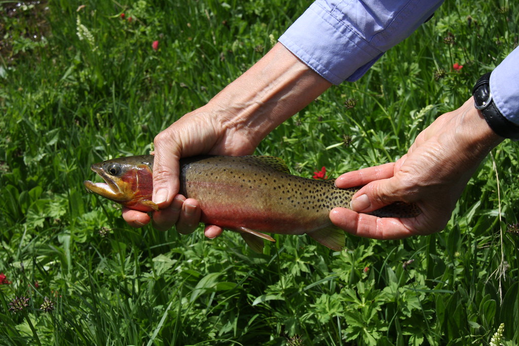
Westslope cutthroats.
One of the girls soaking her feet.
While this trip was primarily a fishing adventure and we didn't hit the upper lakes, the following photos are from a day hike several years prior.
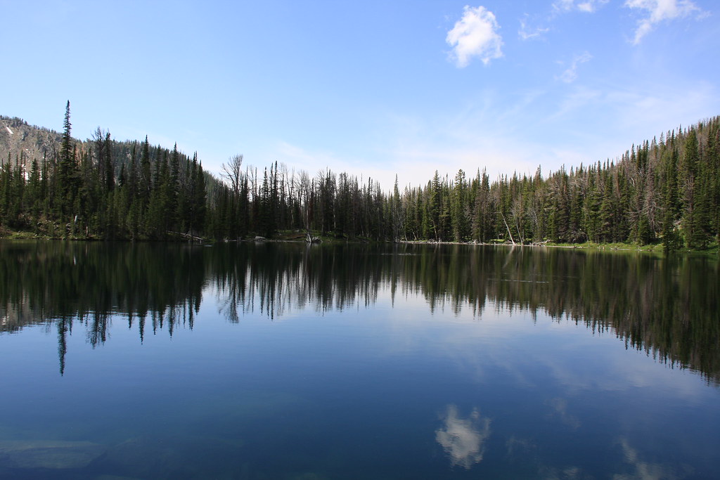
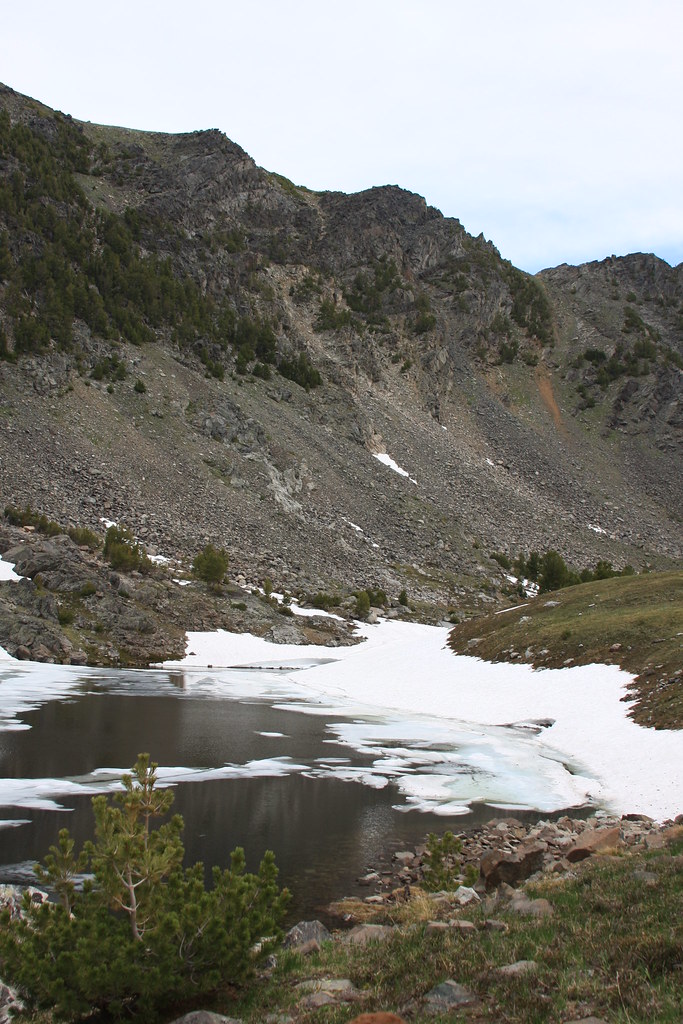
Twin Lake. The lower lake is the only one I would actually consider a lake.
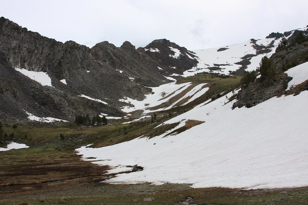
Bowl and wetland area of upper twin.
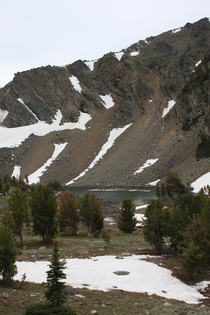
Sunrise Lake.
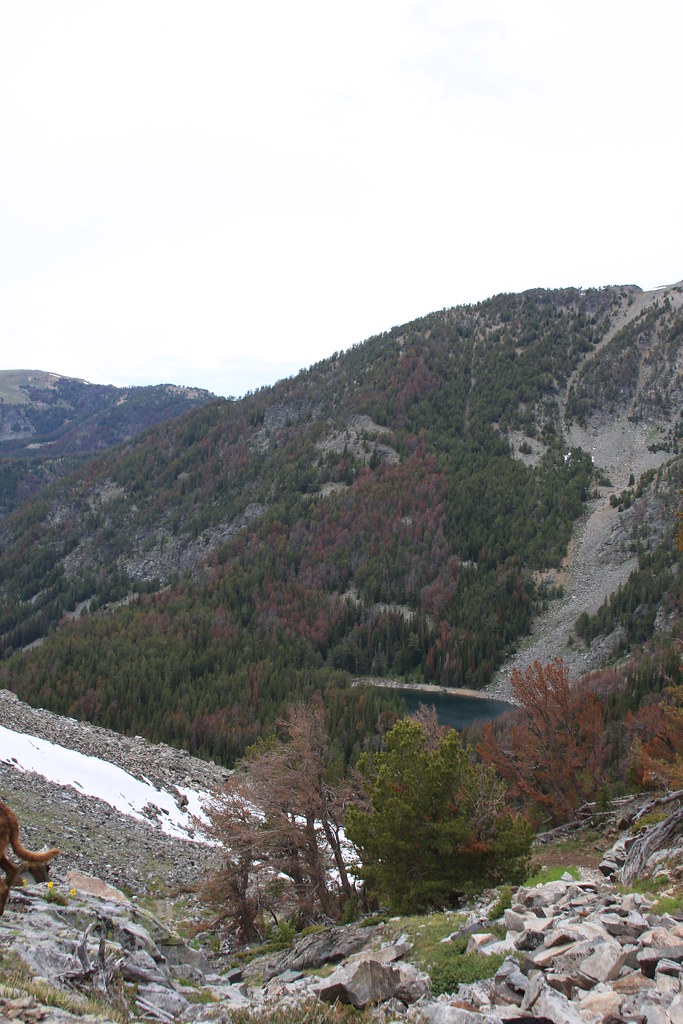
Looking down at Jackson Lake from below Sunrise.
And now a few scanned photos from the Way Back Machine.
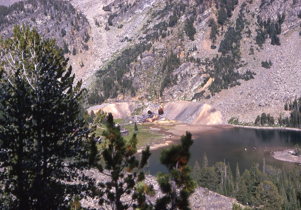
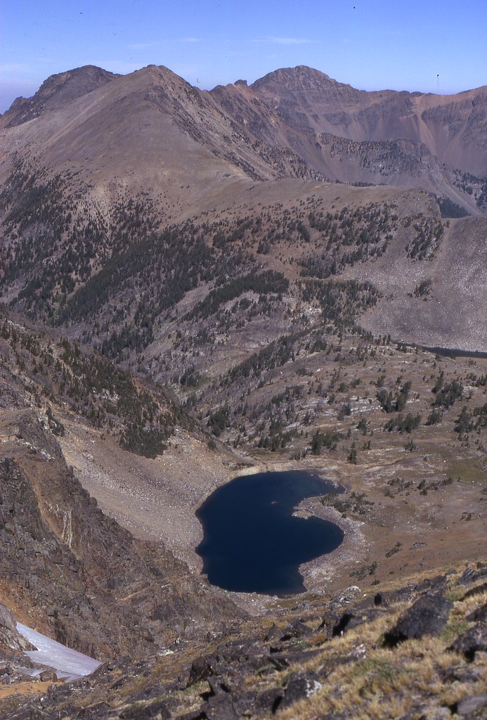
Looking down at Crystal Lake from the upper bowl. The blue Jeep is my 68 CJ5 that was 4 years old at that point.
During that trip, a friend and I climbed Sunrise, Spuhler, Noble, and Granite Peaks.
Sunrise Lake and a bit of Twin Lake from Sunrise Peak.
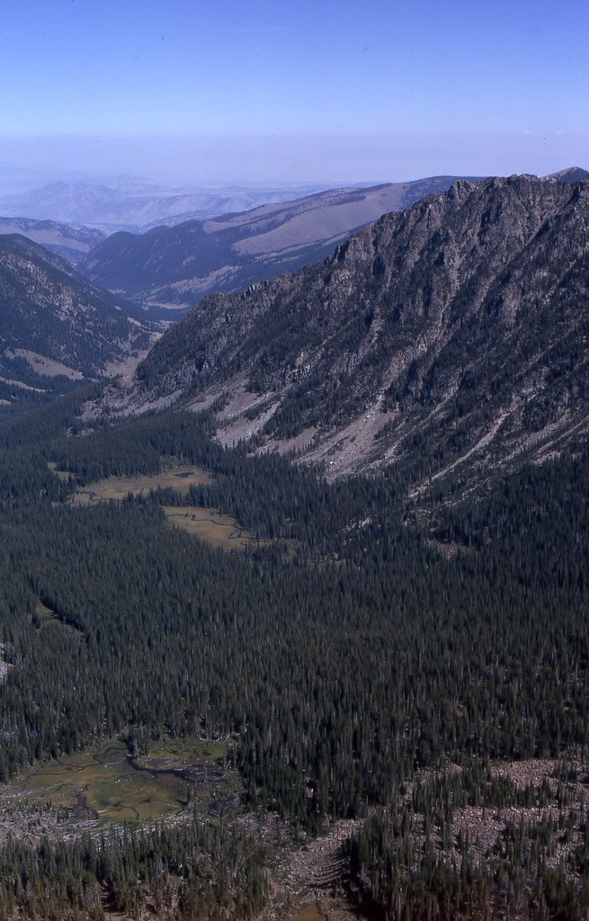
View to north down the East Fork of the South Boulder River from Granite Peak.
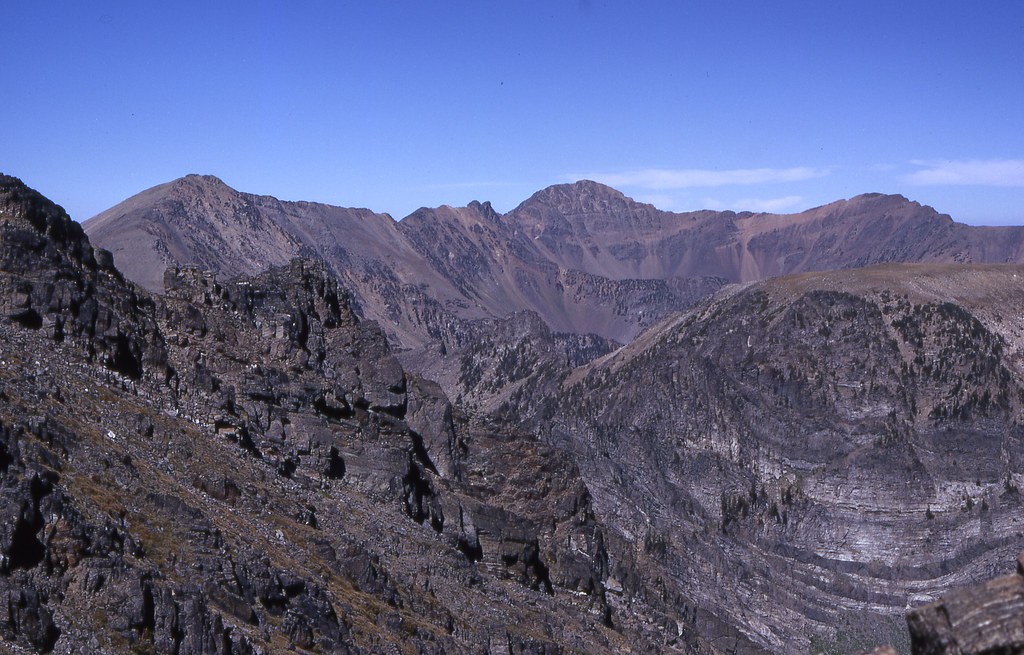
View to south from Sunrise Peak.
That was a really fun day.
Access to this area is via Sheridan, Montana on US 287. Wisconsin Creek Road (FS 157 at forest boundary) exits US 287 about 3 miles west of Sheridan or you can take a short cut directly from town if approaching from the east. Access is the same as for Noble Fork except you stay on FS Road 157 to it's terminus. Lakes in this drainage include Crystal, Jackson, Twin Lakes, and Sunrise.
For this specific trip, we parked the Jeep at the designated trail head for both Crystal and the other lakes and backpacked to camp at Crystal. It is more than obvious, there are more than a few motorized use people who don't want to look at a travel plan let alone abide by one.
Trail head with Sunrise Peak behind.
Wisconsin Creek/Sunrise Peak.
Stream below Crystal Lake.
There are some nice Penstemon along the trail here.
At Crystal Lake, the upper end of it is occupied by the Gladstone/Lakeshore mine. The original production here was in the 1910-1911 era. It was reopened in 1923 for several years and then reassessed in 1937 by additional development work but there was no further production. My first visit here was in 1970 and there were no restrictions on access. Now there is a locked gate and no trespassing signs which I suspect are to limit liability and prevent the remains from walking off. As with most mining claims, this one is currently owned by out-of-state interests.
Crystal Lake and the Gladstone/Lakeshore Mine/Mill.
There are not a lot of decent camping sites here that are off the mining claims and we ended up sort of in the dump for the mine. True to tradition, the mine garbage dump was on FS property, not on the claims. Some interesting artifacts.
Mine/mill buildings and debris.
After throwing line at the lake and walking around most of it and finding no sign of any fish (there were fish here in 1970) we decided to pack up camp early the next morning, trade the backpacks for day packs at the Jeep and hike up to Jackson Lake. This trail is open to ATV's and although one went by us at the Jeep the previous day, none were here this day.
Jackson Lake/Sunrise Peak and my wife doing what she likes to do.
We spent several hours at Jackson and had a very pleasant lunch there.
Westslope cutthroats.
One of the girls soaking her feet.
While this trip was primarily a fishing adventure and we didn't hit the upper lakes, the following photos are from a day hike several years prior.
Twin Lake. The lower lake is the only one I would actually consider a lake.
Bowl and wetland area of upper twin.
Sunrise Lake.
Looking down at Jackson Lake from below Sunrise.
And now a few scanned photos from the Way Back Machine.
Looking down at Crystal Lake from the upper bowl. The blue Jeep is my 68 CJ5 that was 4 years old at that point.
During that trip, a friend and I climbed Sunrise, Spuhler, Noble, and Granite Peaks.
Sunrise Lake and a bit of Twin Lake from Sunrise Peak.
View to north down the East Fork of the South Boulder River from Granite Peak.
View to south from Sunrise Peak.
That was a really fun day.