Tobacco Root Mountains, South Meadow Creek

John Goering

Member
Joined
Sep 30, 2014
Messages
486
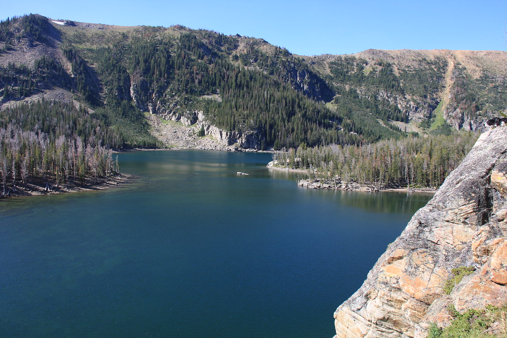
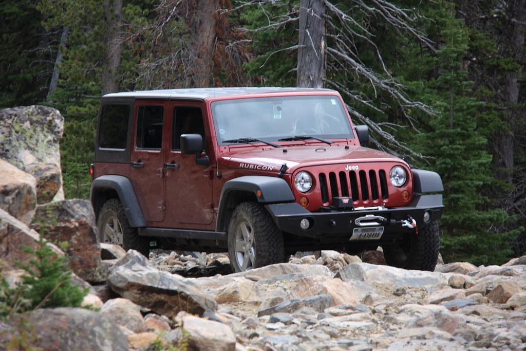
This drainage is another place on our annual visit list. Access is via South Meadow Creek Road that exits US 287 at McAllister, MT (Madison County). South Meadow Creek Road becomes FS Road 1221 about a mile below the Missouri-McKee Mine or about 3 miles below South Meadow Creek Lake (largest lake in the Roots). FS Road 1221 is easy Jeep trail with only a short reach that requires some attention. The road is single lane and has a lot of exposure which makes meeting other vehicles sometimes interesting.

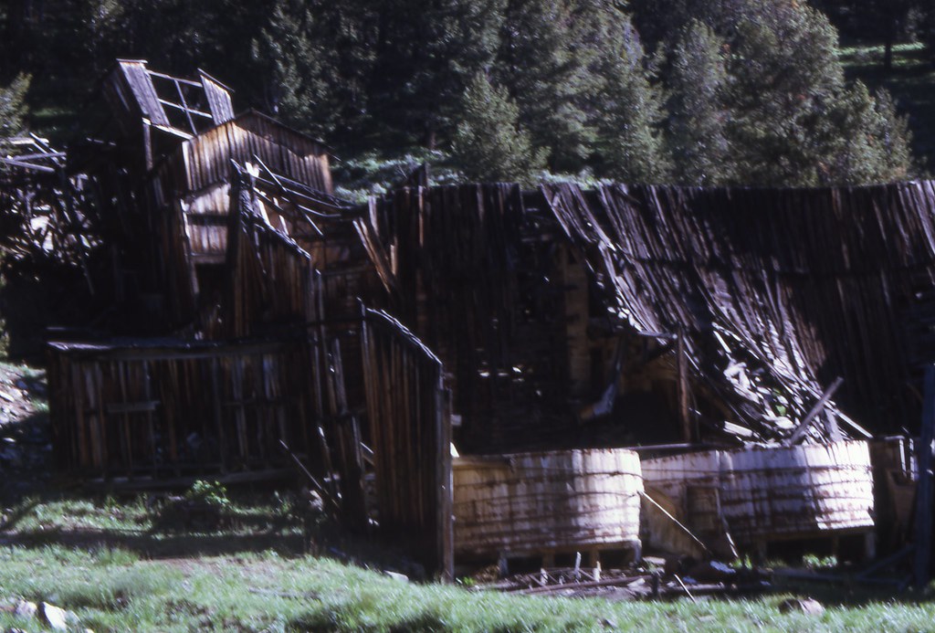
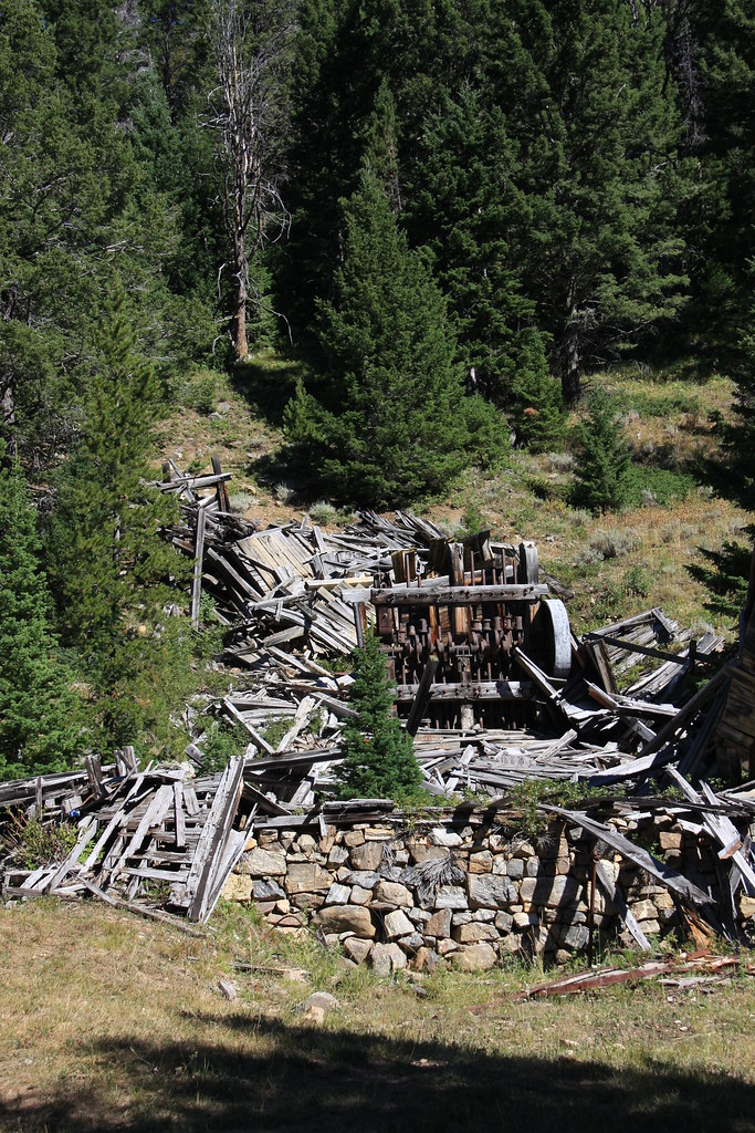
Missouri-McKee ruins, 2011. Someplace I have photos of this site from the early 70's when the mill/tramway was more or less intact.
14511392304_1a21a4e9bd_b.jpg


One of the few places on FS 1221 you actually need to pick a line.
15291809727_7843f2aab6_b.jpg


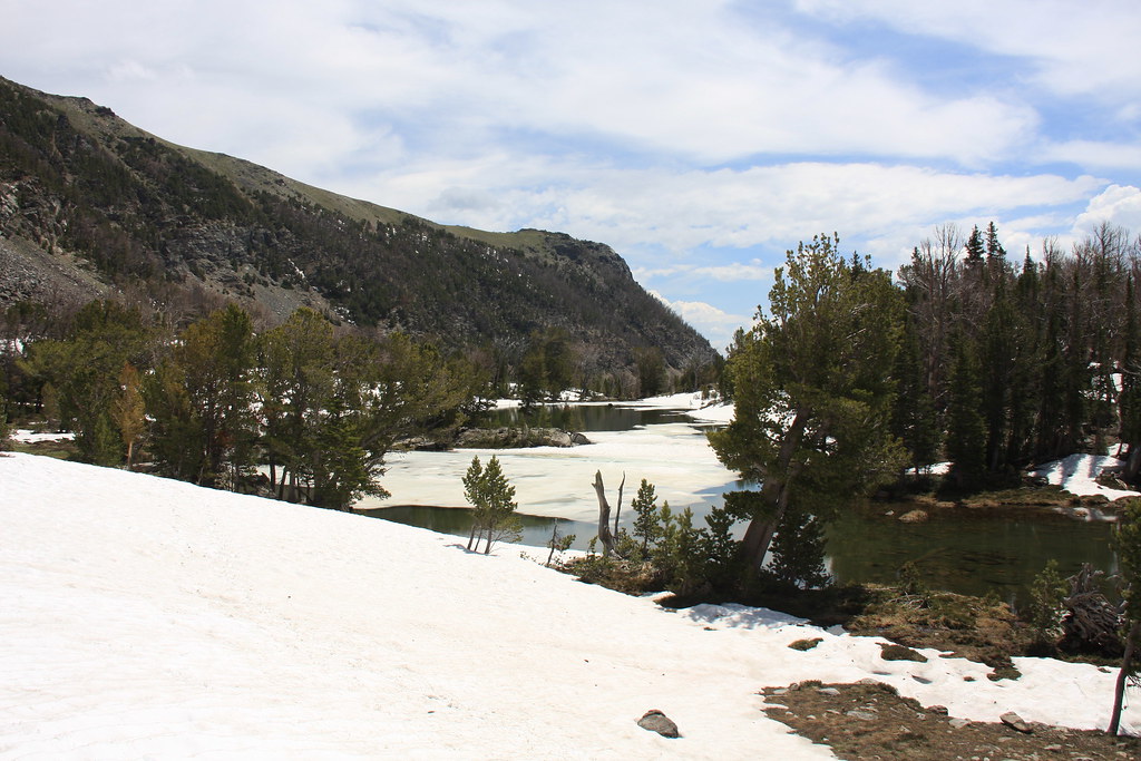
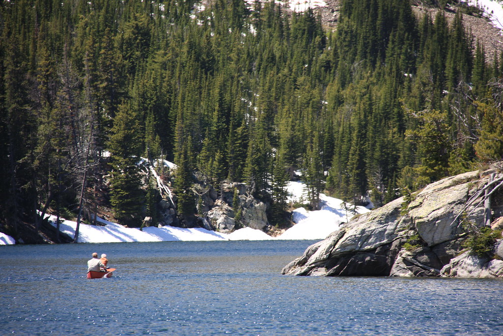
South Meadow Creek Lake.
14489821196_a82a1f4852_b.jpg


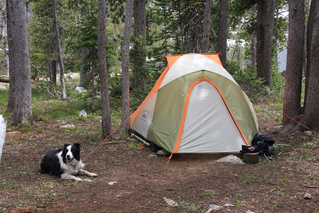
Our usual camping here includes loading the gear in a canoe and camping about half way up the lake-well removed from the fire rings and other hatchet messes due to motorized access and thoughtless people.
14868360977_37f9f8c7cc_b.jpg


Camp.
14572950866_11a2a4f51b_b.jpg


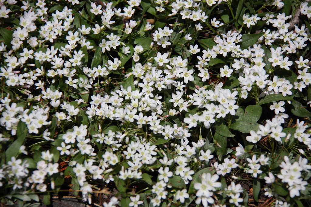
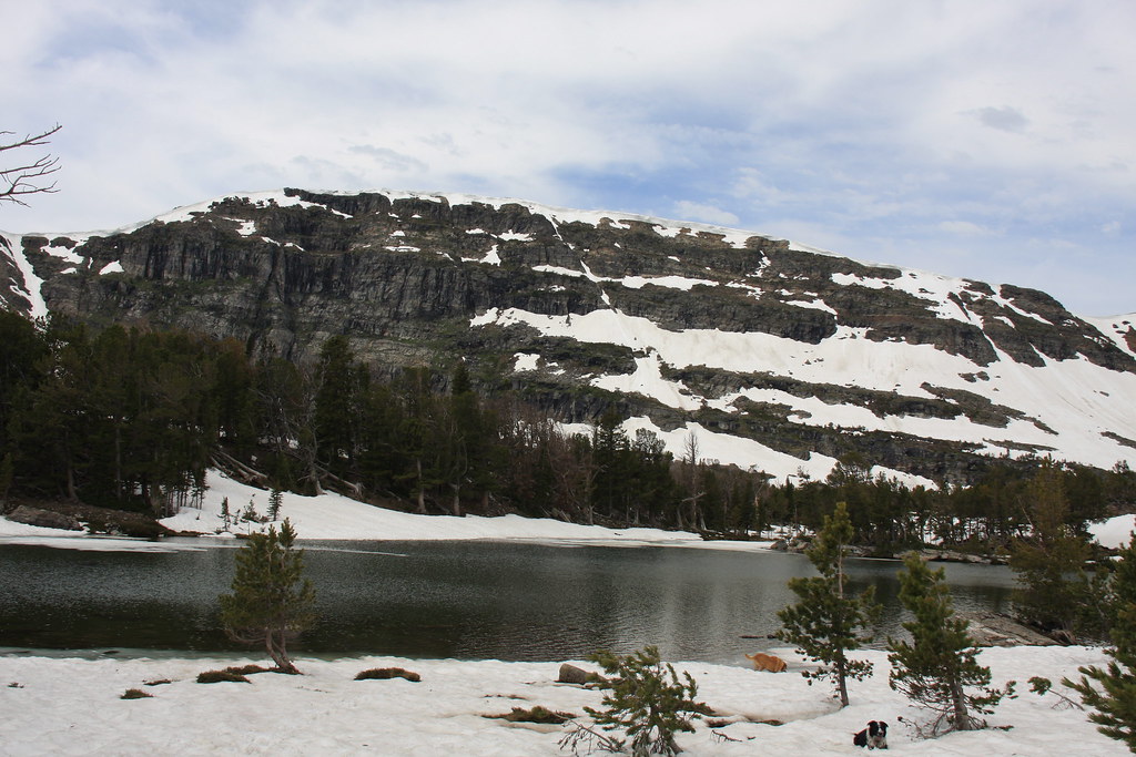
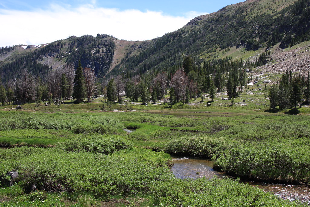
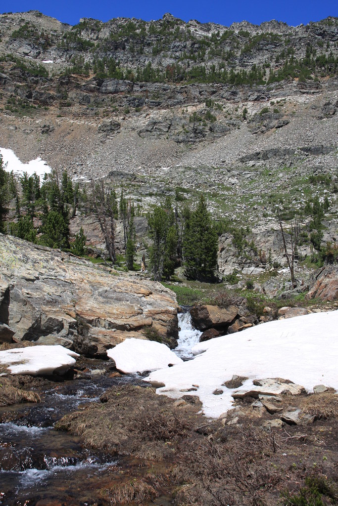
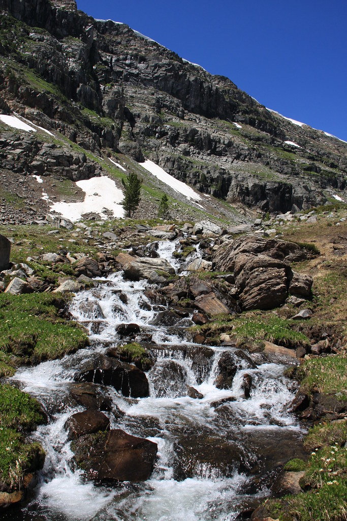
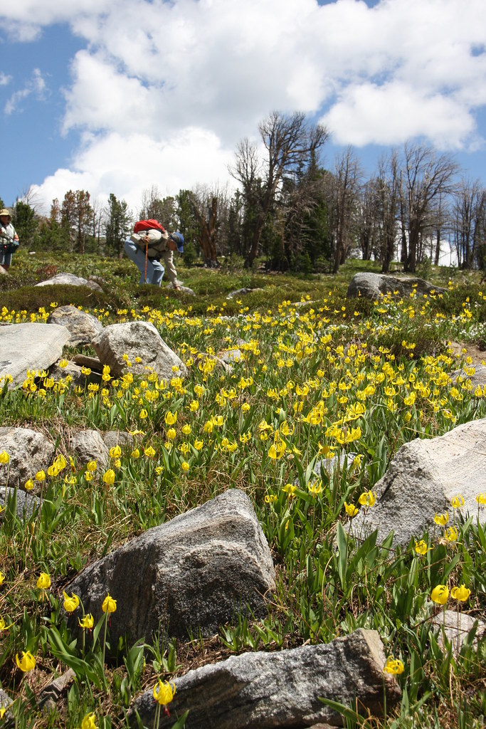
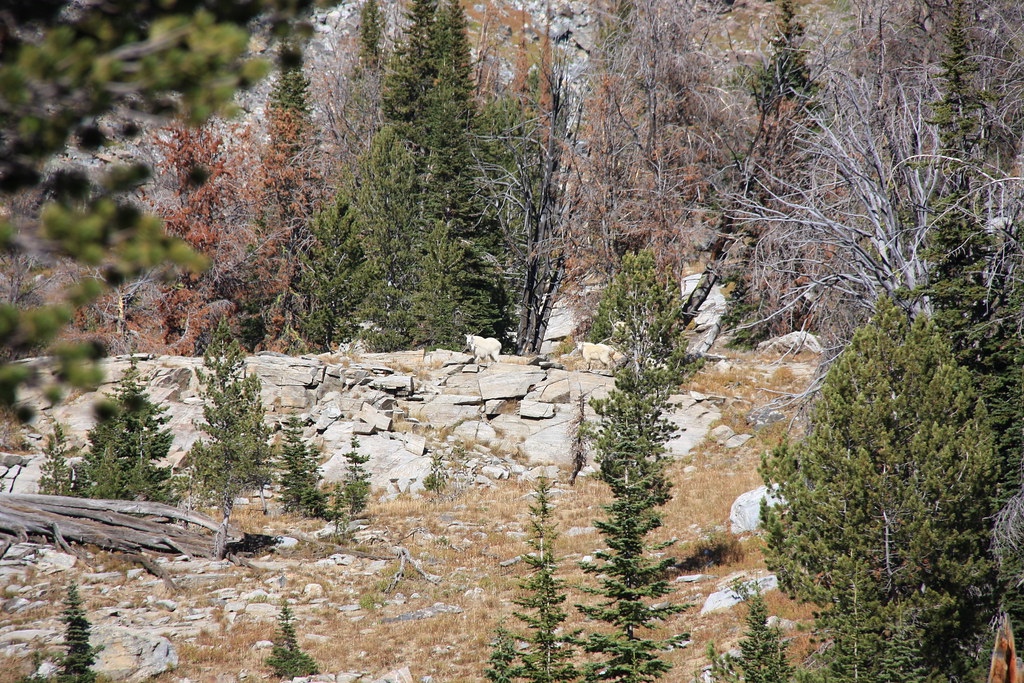
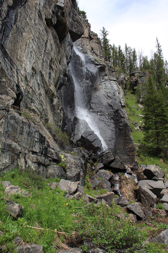
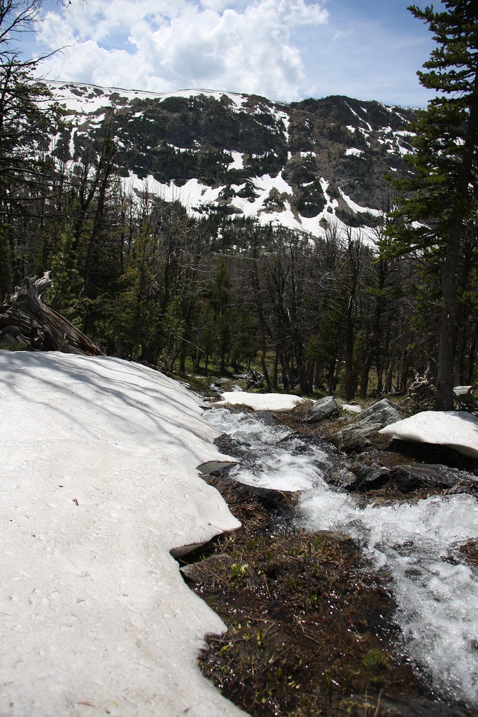
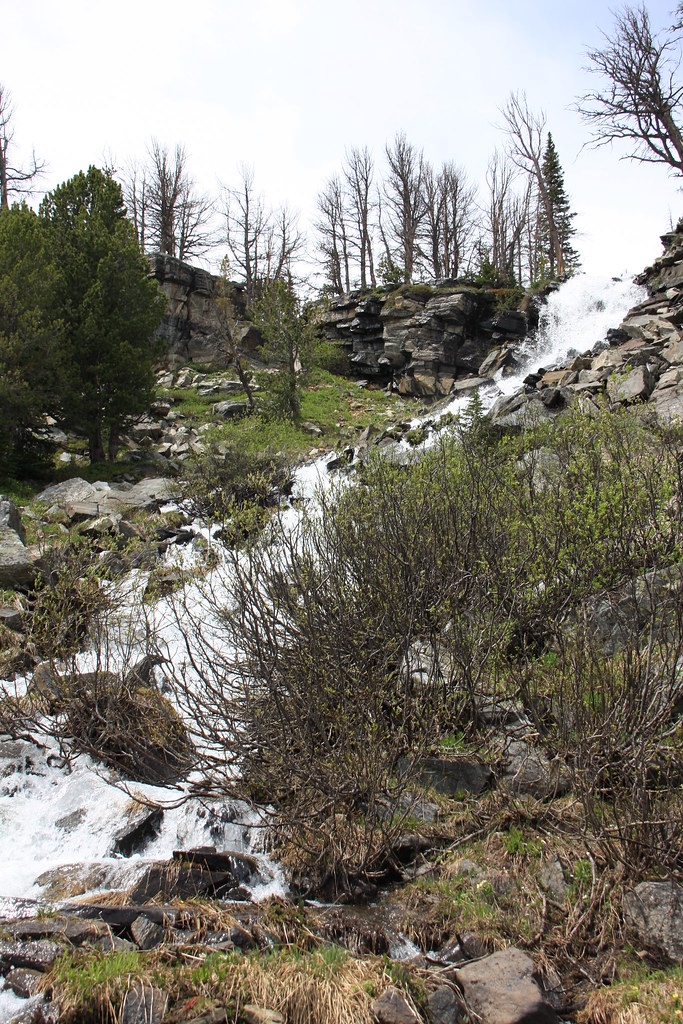
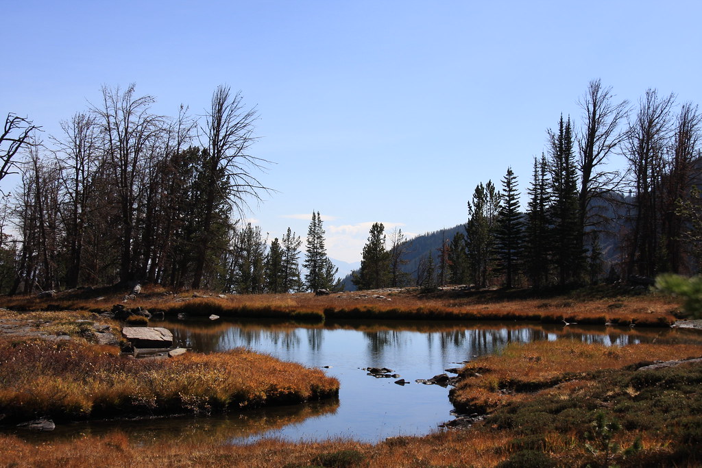
The best part of South Meadow Creek is the rather large bowl above the lake. It contains three puddles, cascades, wet meadows and is pretty much a huge flower garden in July.
14573142026_07f32bb256_b.jpg


14409304878_e484088763_b.jpg


14409299210_3a3a79498a_b.jpg


9237321645_aee471aa34_b.jpg


9240276426_66bf7ea3cc_b.jpg


9237361235_28057e6ea5_b.jpg


9240180096_b7b9f00106_b.jpg


15205938389_77080a608d_b.jpg


15291936778_60bd32d2c3_b.jpg


Cascades at the upper end of South Meadow Creek Lake.
14572967246_ea329c71ec_b.jpg


15389751501_c5f3b9ef63_b.jpg


Overall, a nice place for an over-nighter or a weekend.
15478584765_75456b124f_b.jpg


Featured image for home page:
slide.jpg
 
A very nice place for an overnight or a weekend. Thanks for the TR.
 
OK, a few from the "Way Back Machine" (WBM) or a study in anthropology.
A bad scan of a poor photo, but what the Missouri-McKee (M-M) mill looked like in 1970:
15107534014_8e004d2189_b.jpg


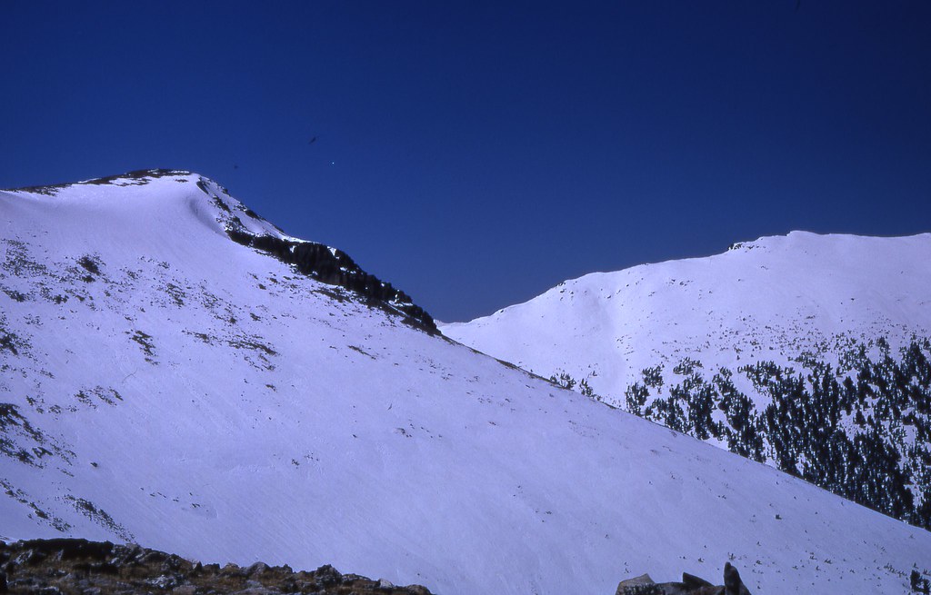
About 1/4 mile up drainage from the mill, FS 9649 turns off to the north and up a steep slope to the Missouri-Mckee mine workings. This road actually tops out about 10,000' and almost atop South Baldy Mountain. In March, 1973 I, along with 3 friends, skied in here from about 3 miles below the M_M and camped above the mill. We made several ski runs from South Baldy down into South Meadow Creek. Great fun until the snowpack warmed enough that you began to sink into the mush a couple of feet. A little over 2000' foot of drop.

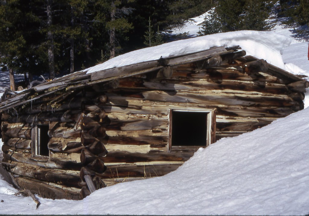
I think this was the foreman's cabin for the M-M. It and all but part of one outbuilding are now gone.
15542237777_c7e651e459_b.jpg


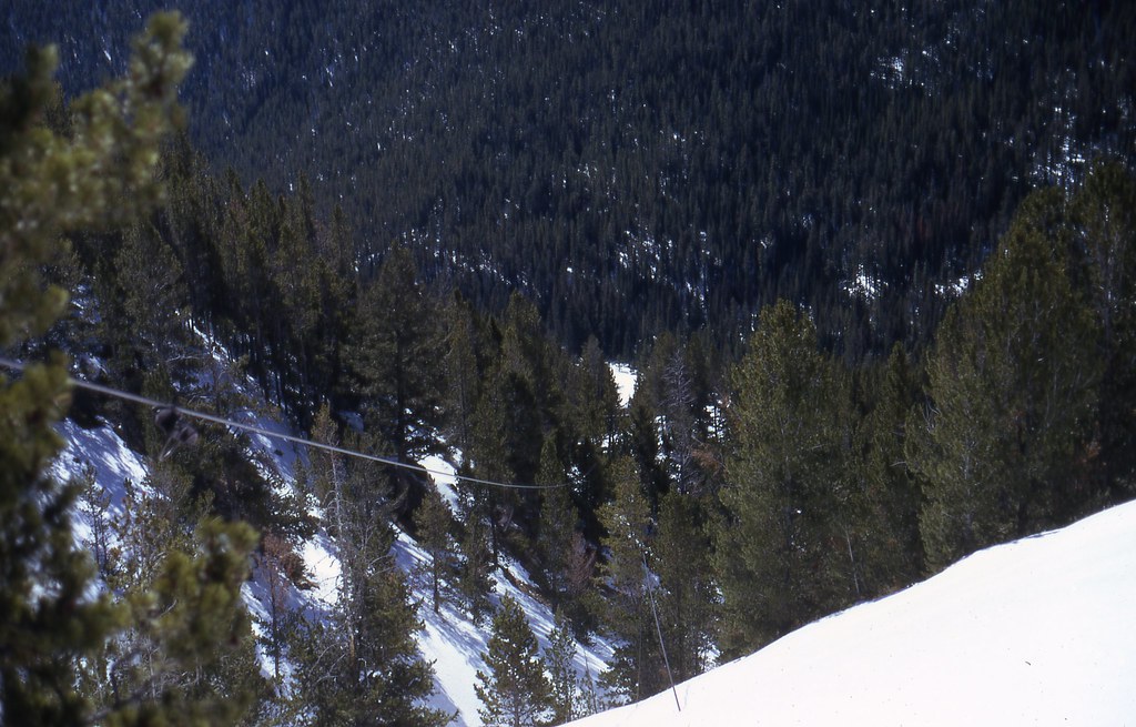
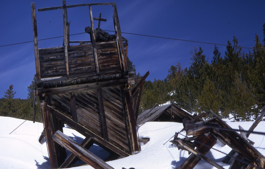
Tram line about a third the way to the upper loading bins. The cable remains but all of it is now on the ground.
15107427364_5fc25b2f67_b.jpg


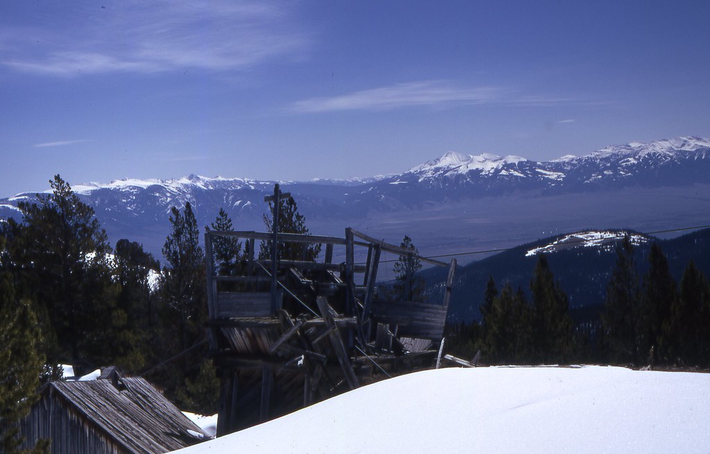
At the top of the main tram. A second shorter tram feed this bin/terminal. Madison Range in background.
15703640836_9d67925bda_b.jpg


15107989823_45c32d9993_b.jpg


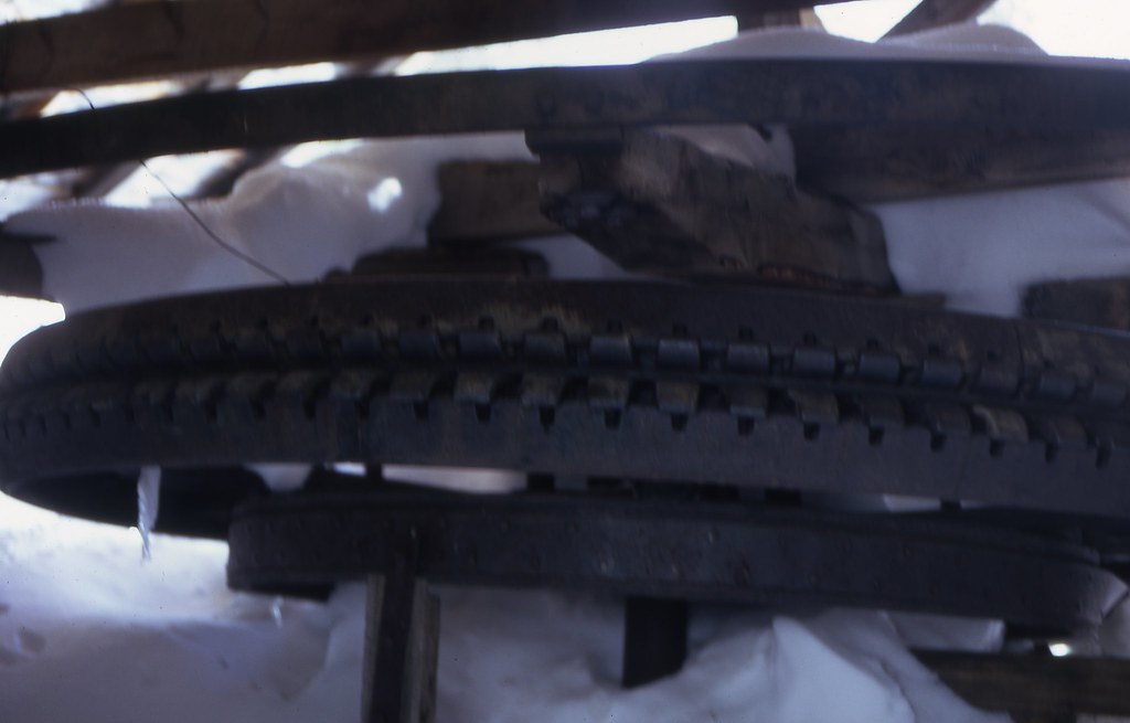
The tram was gravity powered and controlled by this braking assembly.
15725439391_bb6ef6f046_b.jpg


South Baldy from near summit.
15703934996_5baff0b412_b.jpg


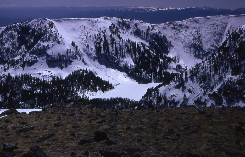
South Meadow Lake from summit.
15703918306_73f70a4660_b.jpg
 
John, I spent two summers with my great Uncle who was the owner of the Missouri McKee mines at one time. The cabin that you think was the foremans was actually the Cooks cabin and is the cabin we lived in at the time. The mill was still somewhat intact in 1962 and the stamps were still in place along with two large gold sorting tables. The tram lines were still in the air to the midway complex and their were ore buckets full of ore still hanging on the cables. I have the fondest memories of the area leaving the cabin in early am to drive to the top of the mountain to work on midway tunnel and the spring tunnel. The lake was the most pristine body of water I have ever seen but subject to T storms in the late afternoon. I will be in the area in July and will take some family for a short look see. Thank you for posting the photos as they have brought back memories long forgotten.
 
Back
Top