John Goering
Member
- Joined
- Sep 30, 2014
- Messages
- 495
This trip was a day hike from the west side of the Tobacco Root Mountains. Access was from Montana 55 south from Whitehall and thence through the small community of Waterloo to Forest Service Road 9470. From the forest boundary to the Mill Creek Trailhead where FS Trail 7155 (Coalpit Trail) diverges to the north, 9470 is 4x2 territory. Above that point, on FS Trail 7089 (Rock Creek Trail), it quickly becomes 4x4 terrain. The point on 7089 at which it is supposed to be closed to 4x4's and ATV's is a total guess as there are no signs what-so-ever. At a point about a mile above the trailhead, it becomes single track but is still open to cycles.
Trail 7089 continues up Mill Creek and eventually, through a lot of switchbacks, crests a pass at 7,767 feet, approximately a 1/4 mile north of Rock creek Lake and at which point FS Trail 7159 splits to the south to Curly Lake. We took 7159 for about a mile south of Rock Creek Lake and then went off-trail for about another mile to the southwest-into Hells Hole, nestled in a large cirque below Manhead Mountain. At 9,966, Manhead Mountain is the farthest north of what I consider real peaks in the Roots.
Evening primrose along FS 9470, just inside the mouth of Mill Creek Canyon.

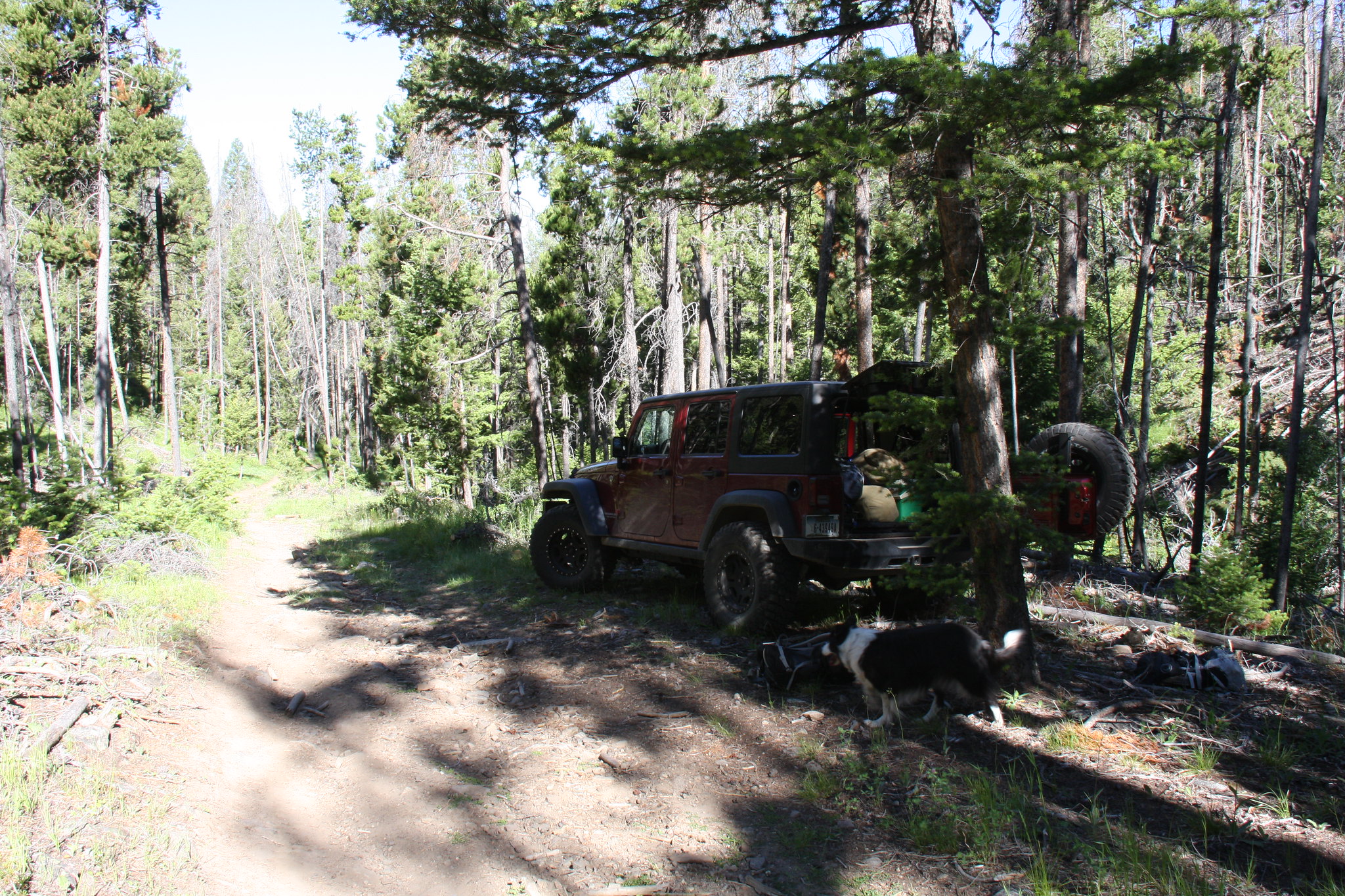
Where we parked the Jeep along FS Trail 7089. I used the GPS to approximate compliance with vehicle travel restrictions.
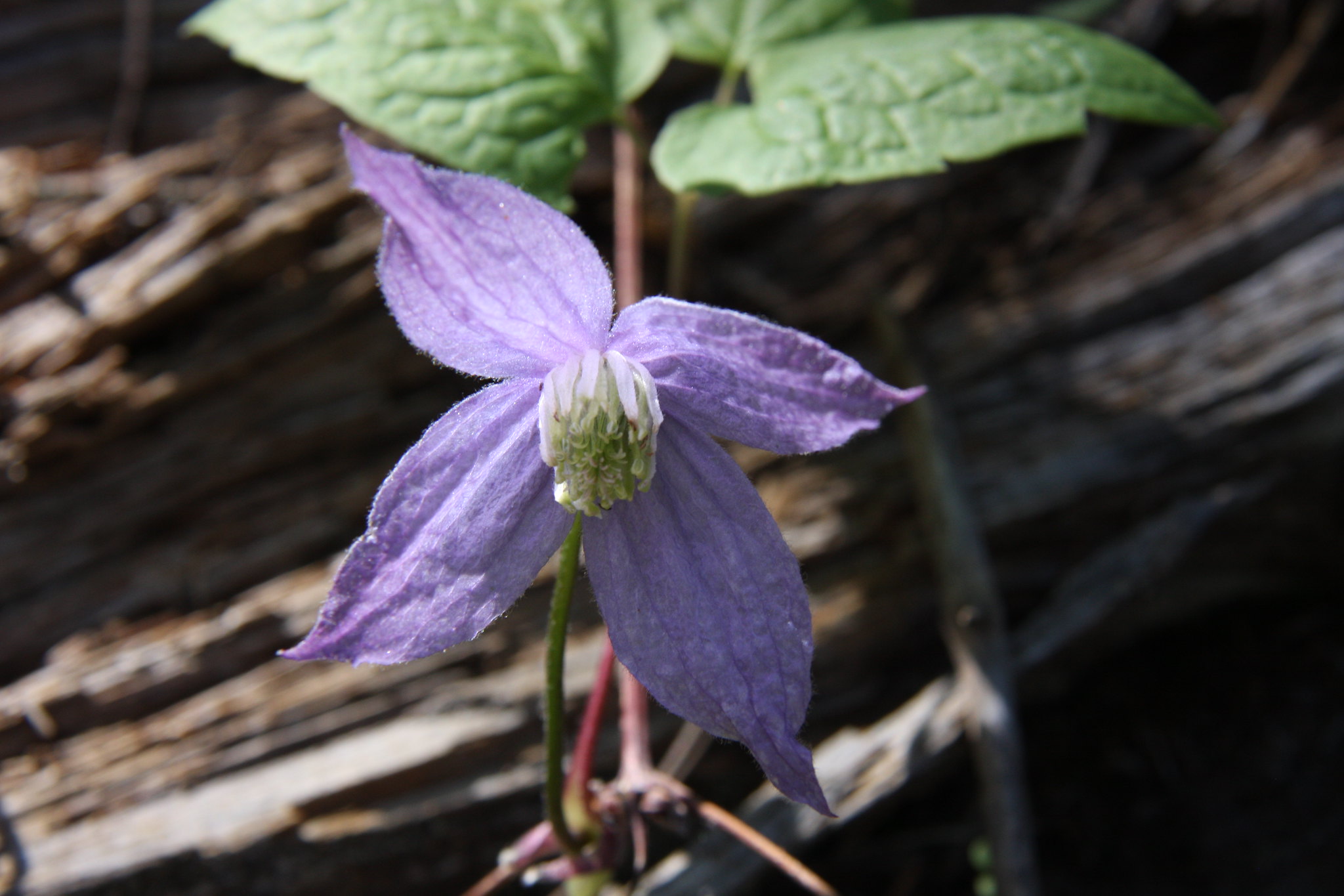
Blue clematis-very prolific on the west side of the pass.
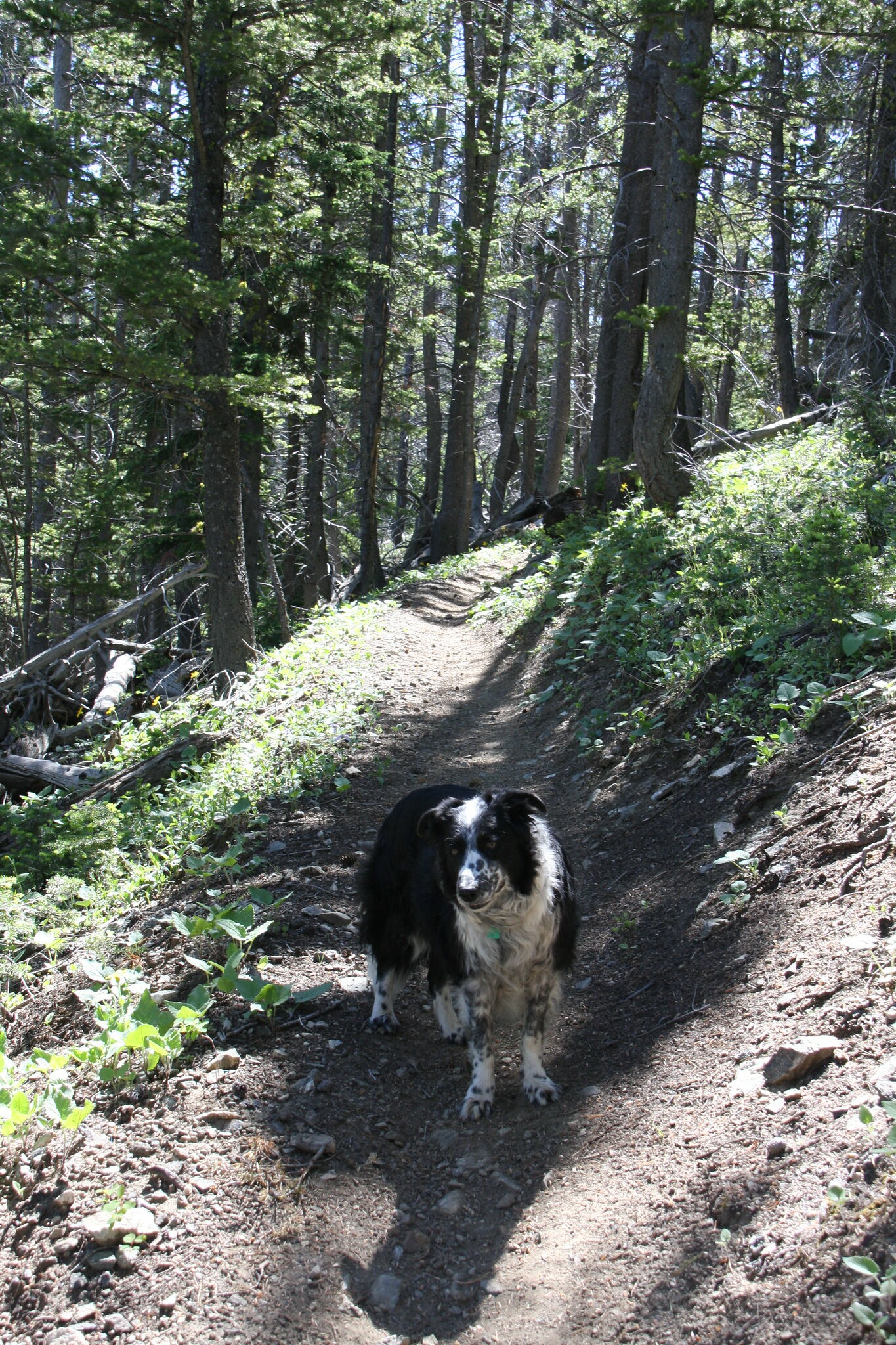
FS 7089. Well maintained with only a couple fallen trees on it.
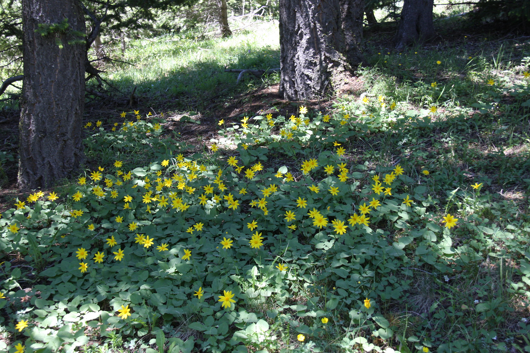
Heartleaf arnica at the pass. Some large areas of these.
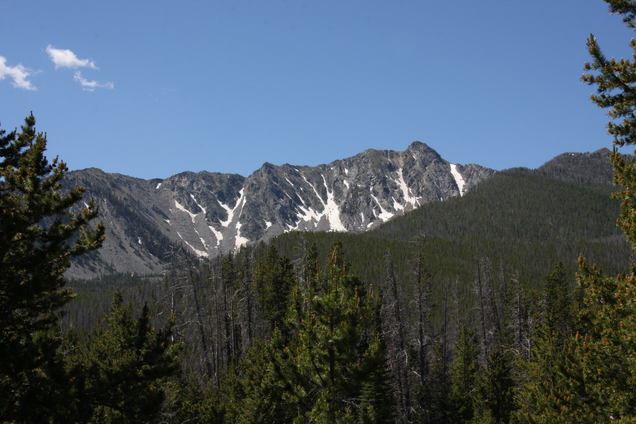
First view of Manhead Mountain from just below the east side of the pass.
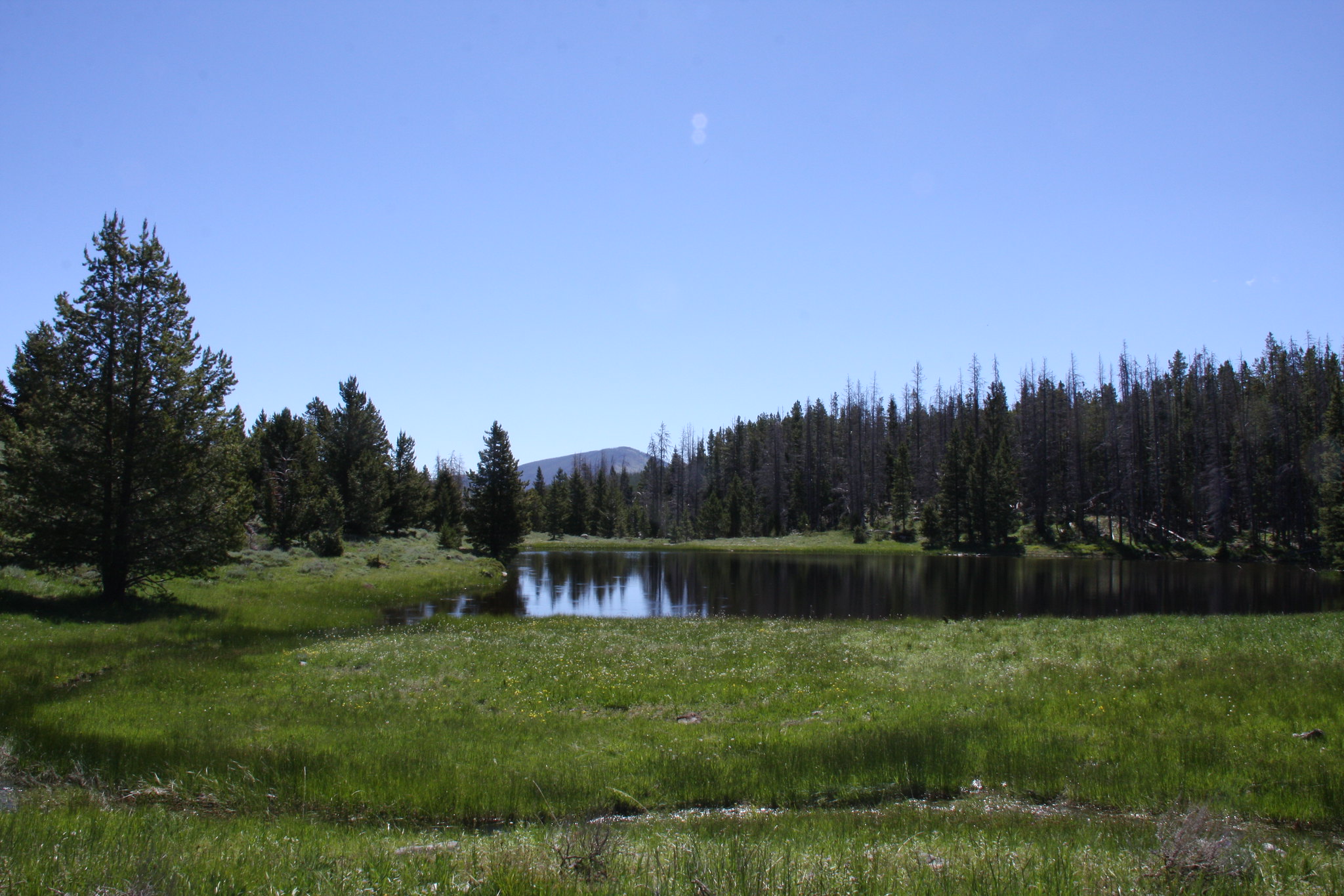
Rock Creek Lake is an "etid" lake as in fetid and tepid. The only inflow passes through a large wetland immediately above the lake and contributes enough tannins to impart a reddish hue to the water.
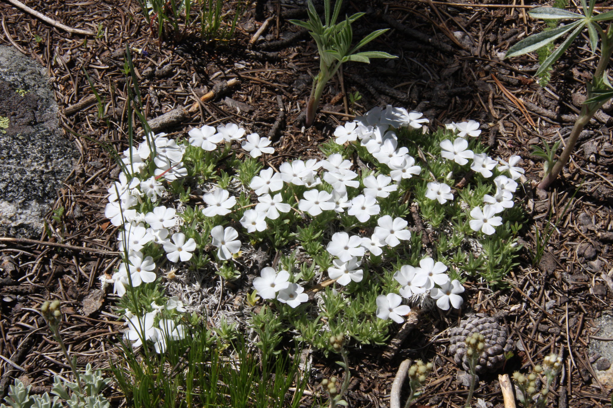
Carpet phlox near the Lake.
One of three small streams emanating from Hells Hole.
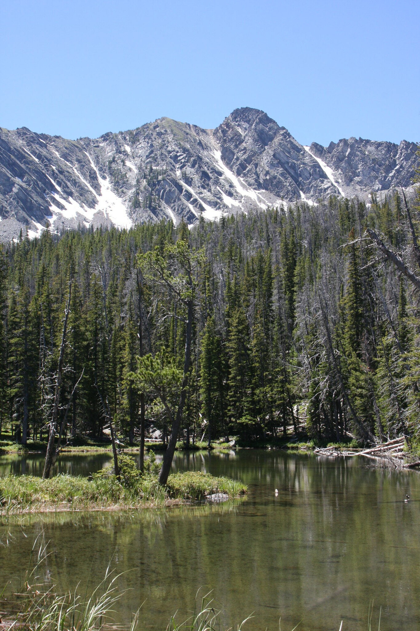
Manhead Mountain and the middle Pond in Hell's Hole.
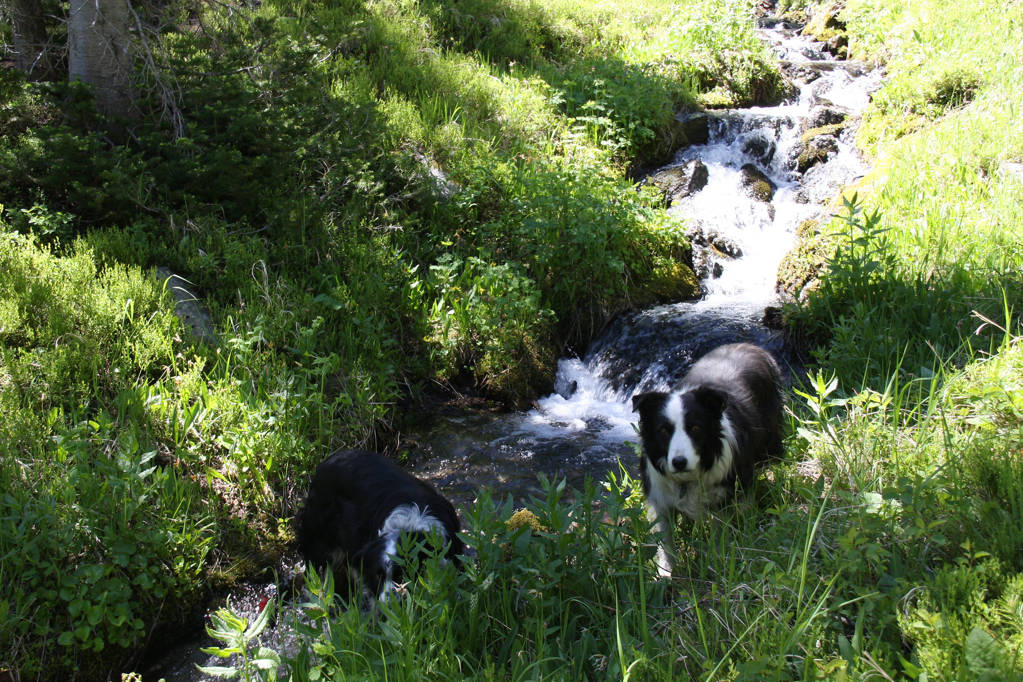
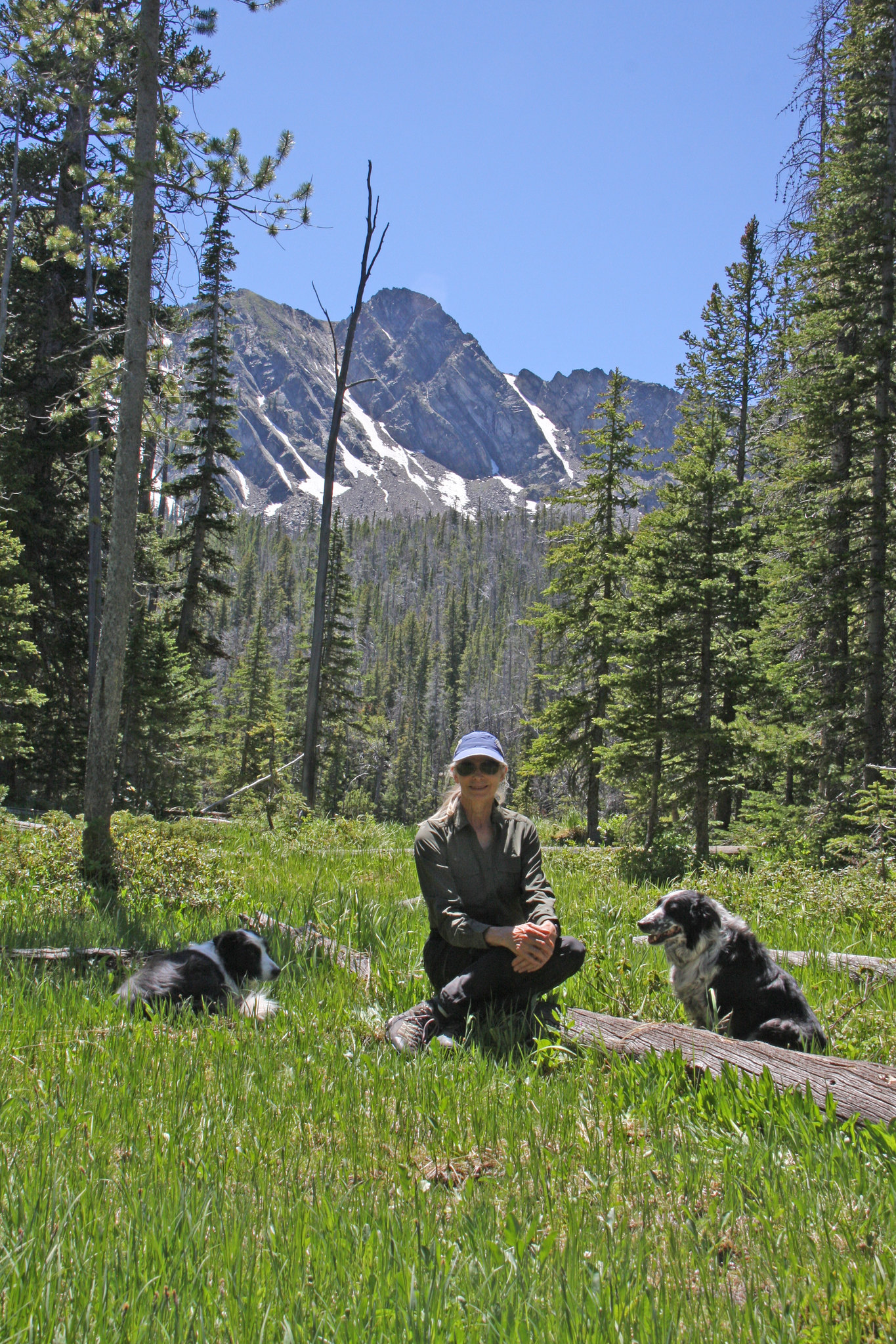
The rest of the crew. We had got hung up in a steep huge boulder field above this pond trying to get to the upper pond. It was mid-afternoon and better than 4 miles back to the Jeep so we bagged it, had lunch at the middle pond, and headed back. We off-trailed it all the way back to the pass.
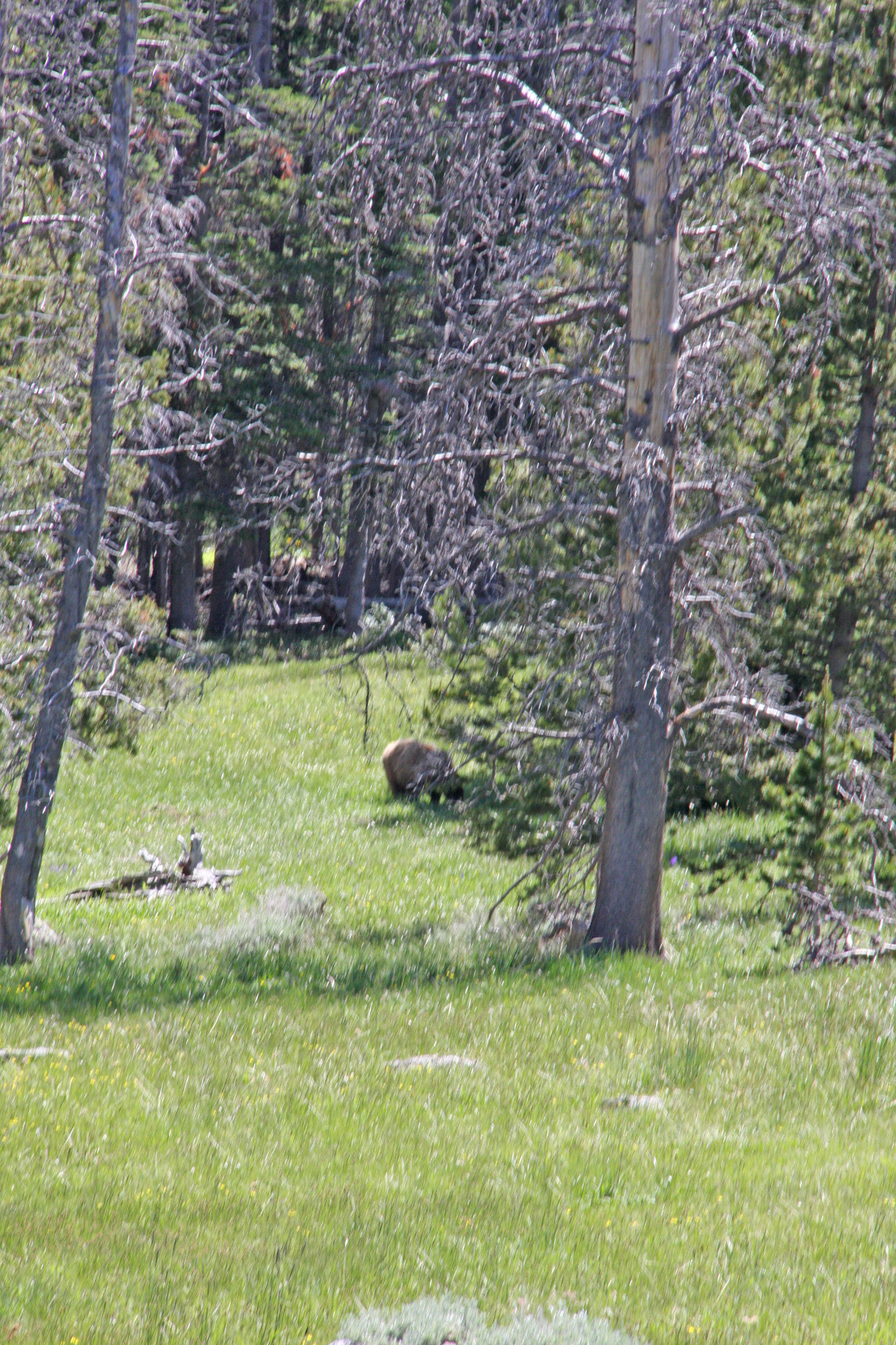
Bad bruin shot from the small cirque above Rock Creek Lake. Not sure which species but looked just like one of the G cubs we saw at Globe Lake in 2010. We didn't stick around to get a better photo.
And a little silver lupine on our way back out 7089.

Trail 7089 continues up Mill Creek and eventually, through a lot of switchbacks, crests a pass at 7,767 feet, approximately a 1/4 mile north of Rock creek Lake and at which point FS Trail 7159 splits to the south to Curly Lake. We took 7159 for about a mile south of Rock Creek Lake and then went off-trail for about another mile to the southwest-into Hells Hole, nestled in a large cirque below Manhead Mountain. At 9,966, Manhead Mountain is the farthest north of what I consider real peaks in the Roots.
Evening primrose along FS 9470, just inside the mouth of Mill Creek Canyon.
Where we parked the Jeep along FS Trail 7089. I used the GPS to approximate compliance with vehicle travel restrictions.
Blue clematis-very prolific on the west side of the pass.
FS 7089. Well maintained with only a couple fallen trees on it.
Heartleaf arnica at the pass. Some large areas of these.
First view of Manhead Mountain from just below the east side of the pass.
Rock Creek Lake is an "etid" lake as in fetid and tepid. The only inflow passes through a large wetland immediately above the lake and contributes enough tannins to impart a reddish hue to the water.
Carpet phlox near the Lake.
One of three small streams emanating from Hells Hole.
Manhead Mountain and the middle Pond in Hell's Hole.
The rest of the crew. We had got hung up in a steep huge boulder field above this pond trying to get to the upper pond. It was mid-afternoon and better than 4 miles back to the Jeep so we bagged it, had lunch at the middle pond, and headed back. We off-trailed it all the way back to the pass.
Bad bruin shot from the small cirque above Rock Creek Lake. Not sure which species but looked just like one of the G cubs we saw at Globe Lake in 2010. We didn't stick around to get a better photo.
And a little silver lupine on our way back out 7089.