John Goering
Member
- Joined
- Sep 30, 2014
- Messages
- 496
We did this day trip several years back on a late, not too nice, October day. Access here is usually from Harrison, MT on US 287. Thence on MT 283 to Pony, MT. Pony is an old mining town and although a shell of its former self, it has never made ghost town status in my definition of that term. It was apparently established in the early 1870's. Most active mining in the area occurred around the turn of the 20th century and again in the 1930's.
From Pony, we took the North Willow Creek road about 1.5 miles to Cataract Creek Road and passed Cataract Lake (a reservoir). At the Forest boundary, this road becomes FS Road 938A and leads to FS Trail 6300 to Mason Lake. The portion of the trail to Mason Lake is open to motorized use. The trail gets lost in wet meadow/bog around the upper end of Mason Lake but there is more trail to Upper Mason Lake. Road wise, I think any more or less high clearance vehicle can make it to the trail head here.
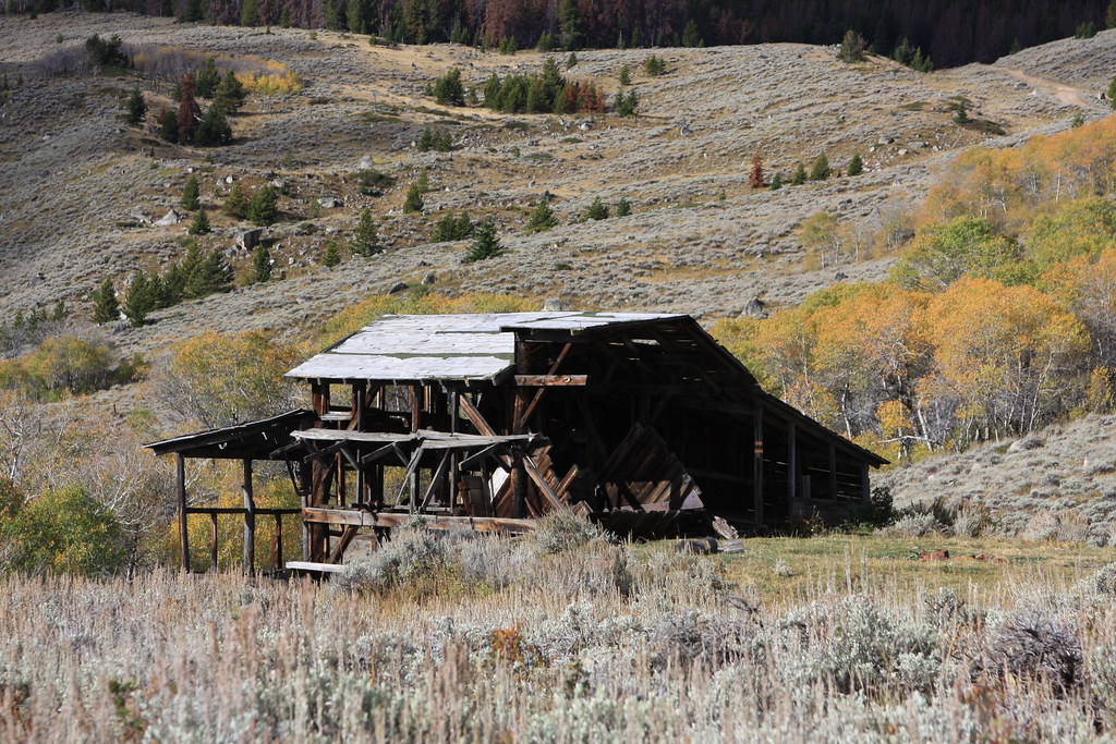
Remains of a mill off Cataract Creek Road.
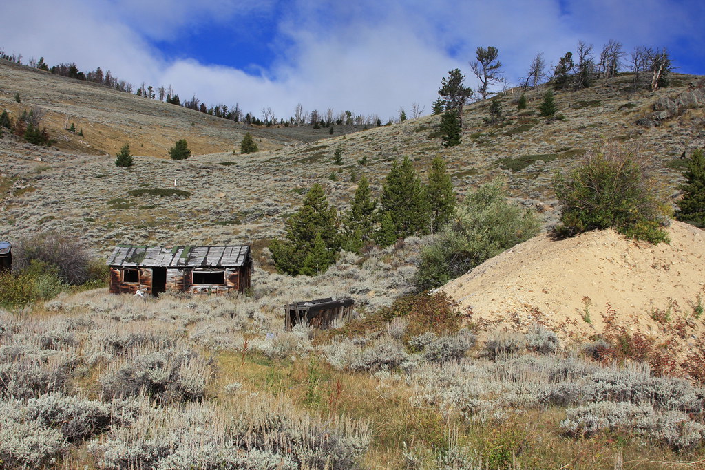
Mine cabin/dump.
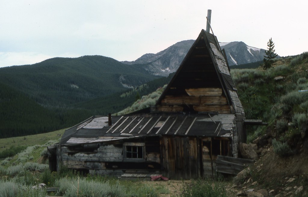
While now gone, I believe this was the headframe here-taken in 1977. Hollowtop Mountain behind.
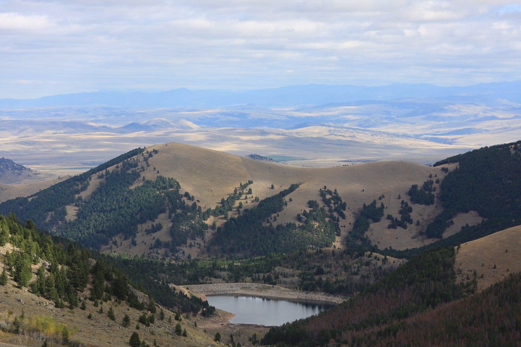
Looking east from FS 938A at Cataract Lake. Pony lies just the other side of the hill behind the lake. Bridger Range on horizon.
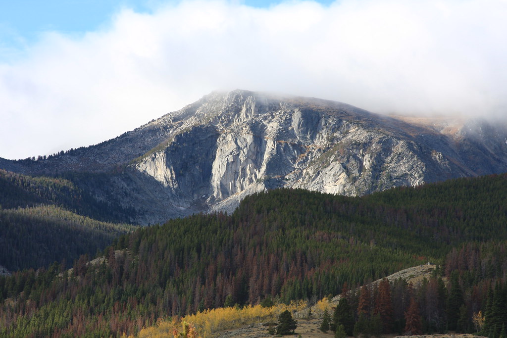
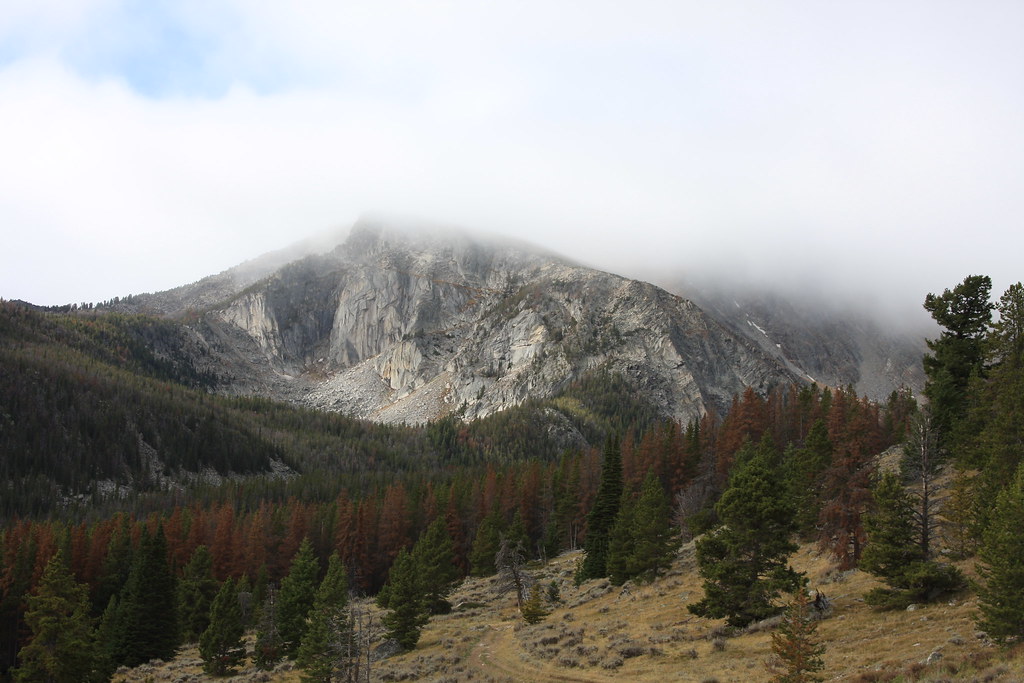
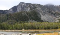
Northeast side of Hollowtop Mountain (highest point in the Roots at 10, 604') from Cataract Creek Road. Upper Mason Lake lies below cliffs.
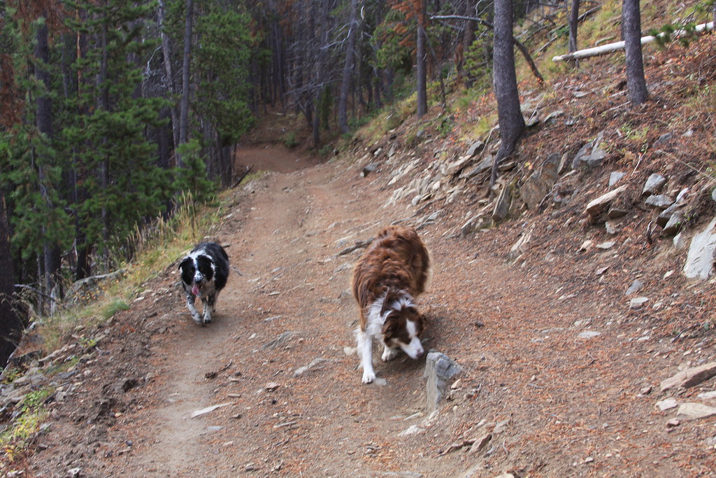
FS 6300.
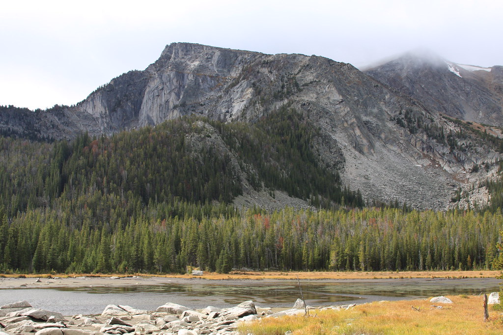
Mason Lake. Not a lot to write home about----
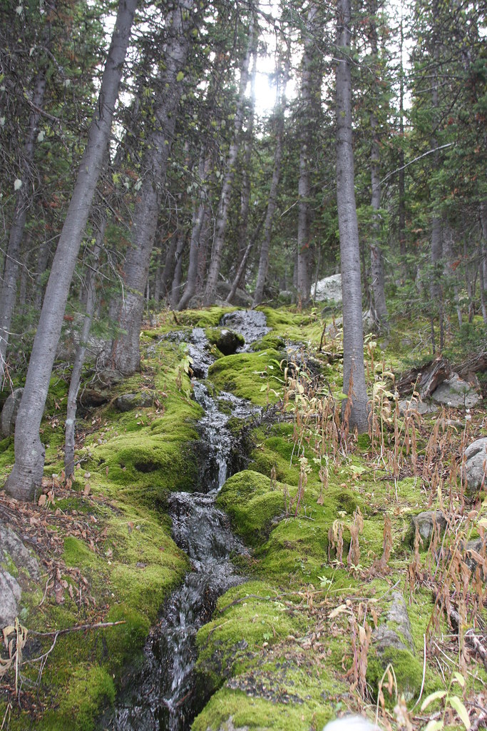
Stream below Upper Mason Lake. Not much flow this late in the year.
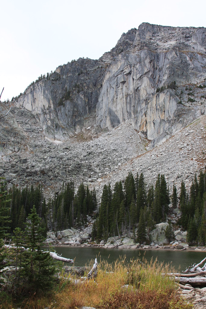
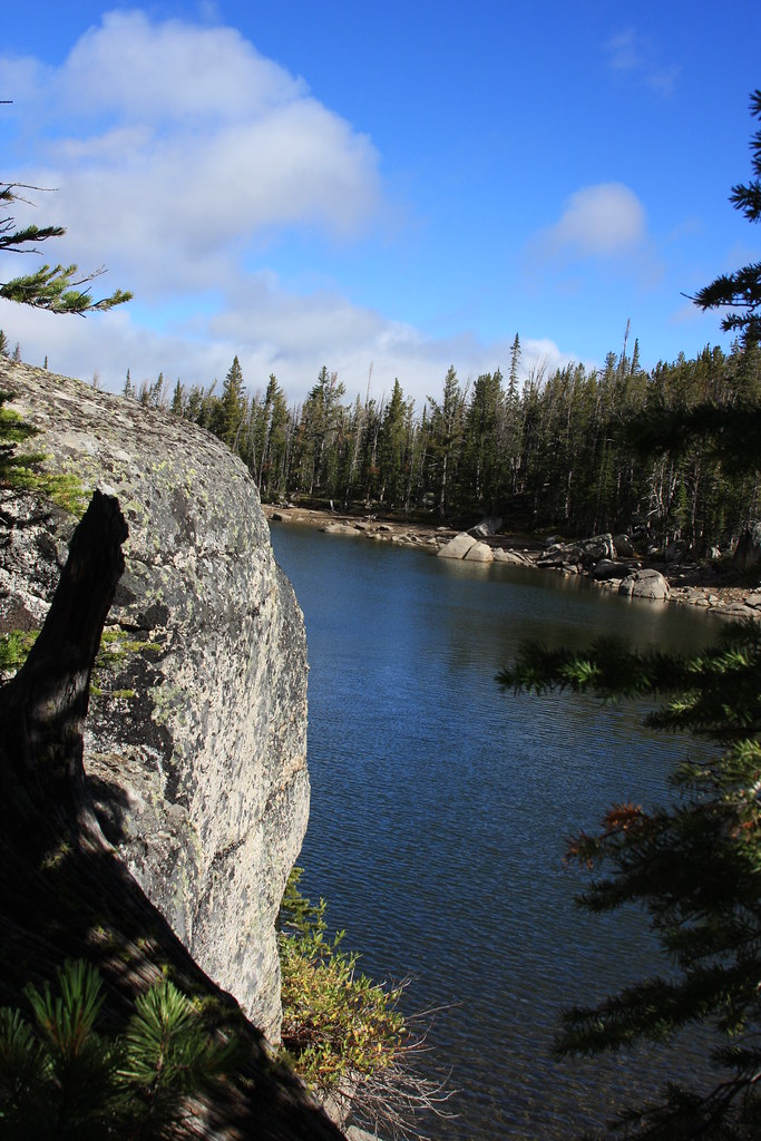
Upper Mason Lake-pretty small.
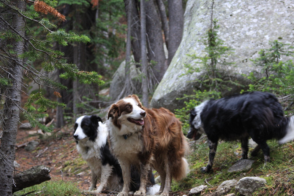
Crew near Upper Mason Lake.
Featured image for home page:
From Pony, we took the North Willow Creek road about 1.5 miles to Cataract Creek Road and passed Cataract Lake (a reservoir). At the Forest boundary, this road becomes FS Road 938A and leads to FS Trail 6300 to Mason Lake. The portion of the trail to Mason Lake is open to motorized use. The trail gets lost in wet meadow/bog around the upper end of Mason Lake but there is more trail to Upper Mason Lake. Road wise, I think any more or less high clearance vehicle can make it to the trail head here.
Remains of a mill off Cataract Creek Road.

Mine cabin/dump.

While now gone, I believe this was the headframe here-taken in 1977. Hollowtop Mountain behind.

Looking east from FS 938A at Cataract Lake. Pony lies just the other side of the hill behind the lake. Bridger Range on horizon.

Northeast side of Hollowtop Mountain (highest point in the Roots at 10, 604') from Cataract Creek Road. Upper Mason Lake lies below cliffs.

FS 6300.


Mason Lake. Not a lot to write home about----

Stream below Upper Mason Lake. Not much flow this late in the year.

Upper Mason Lake-pretty small.


Crew near Upper Mason Lake.

Featured image for home page:

