John Goering
Member
- Joined
- Sep 30, 2014
- Messages
- 495
Curly Lake/Curly Creek is another location in the South Boulder River Drainage of the Tobacco Roots. Contrary to the dead end trails in most of this area, it is possible to traverse two different loops and thus this area is very popular with the mountain bike fraternity.
The two primary access points are the Curly Creek trail head (FS Trail 7151) and the Curly Lake trail head (FS Trail 7159). The former is located about 2.5 miles south of Mammoth, while the latter is about 3 miles farther south and about a half mile above the Bismark Trail Head for Louise and Lost Cabin Lake trails. More access information was presented in those TR's:
http://backcountrypost.com/forum/threads/tobacco-root-mountains-louise-lake-trip.3710/
Our trip to the area was via Trail 7159 that climbs out of the South Boulder valley, passes through Westphal Parks and a low pass, thence down a few switchbacks to Curly Creek and maybe another 3/4 mile to the lake. From the trail head to the lake is only 3.1 miles.
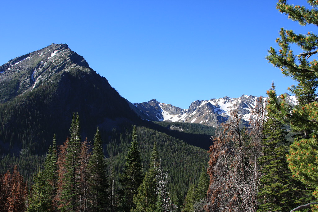
About a half mile in. Middle Mountain left with Noble Peak just to the right.
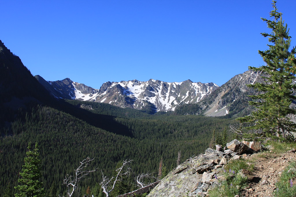
A little farther up the trail looking south again. Lost Cabin Lake sits at the upper end of the bowl.
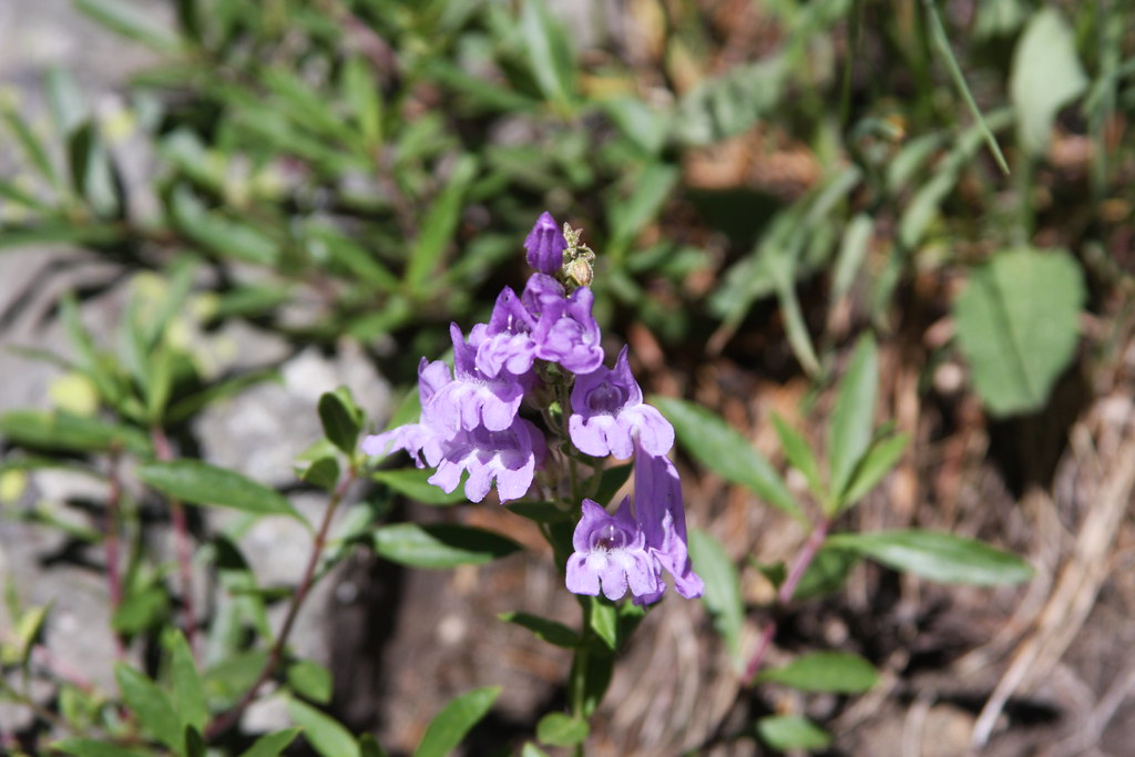
Alberta Penstemon is relatively abundant along this section of trail.
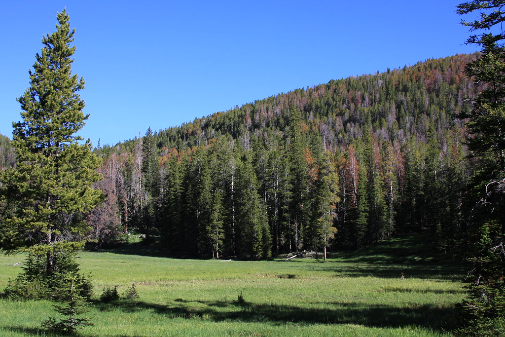
Westphal Parks. There is perennial water here.
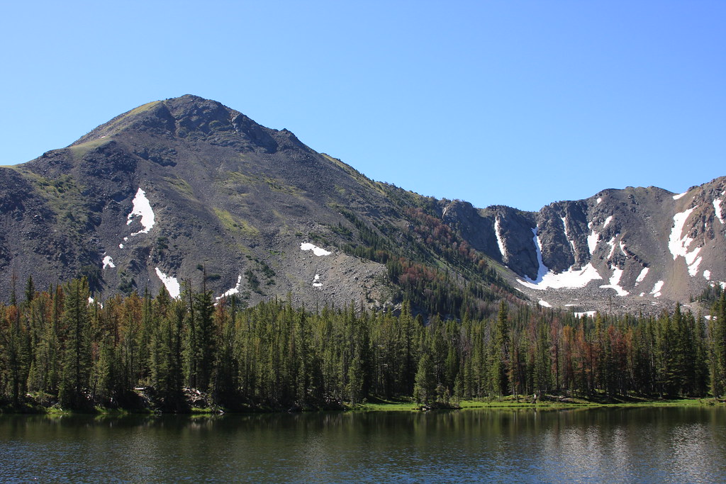
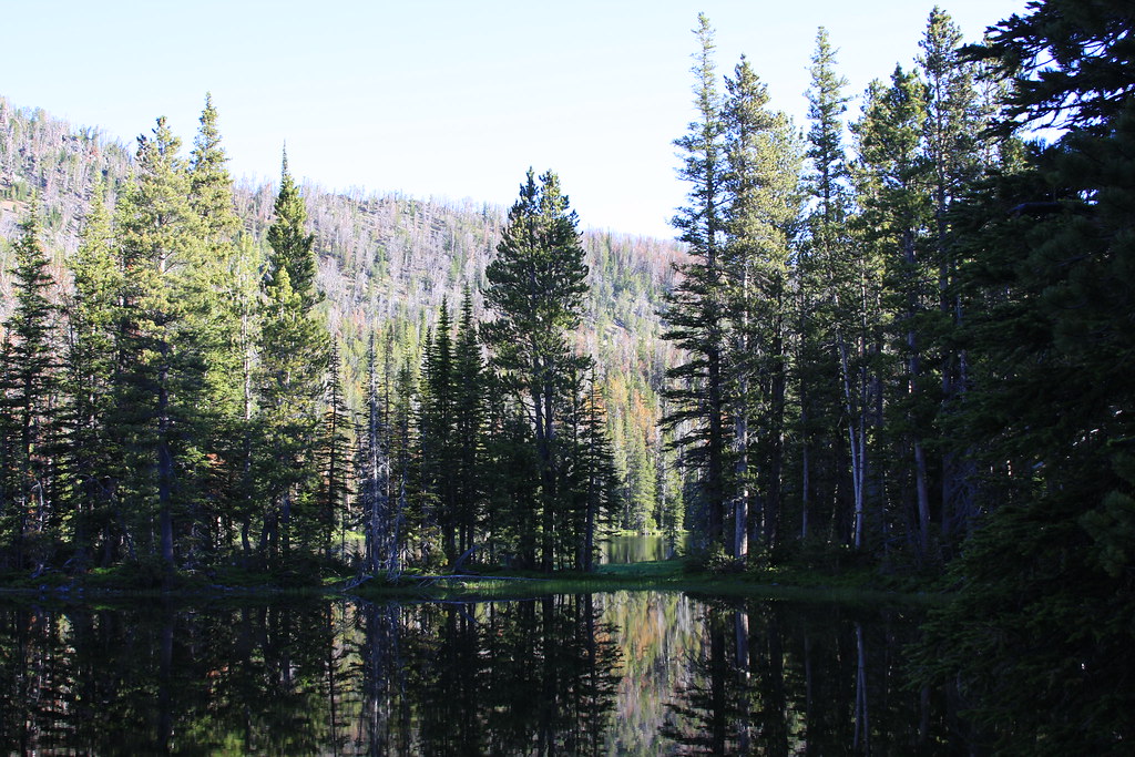
Curly Lake. Mountain is un-named.
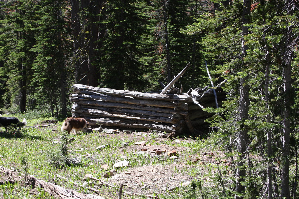
The area immediately surrounding Curly Lake is swamping for the most part with the expected result of rather abundant mosquitoes. After a bit of debate on the merits of taking FS Trail 7158 (Devil's Slide Trail) and continuing over another divide to Beal Lake, we decided to continue further south. There is the remains of what I suspect was a miner's cabin, but little sign (thankfully) of any mining.
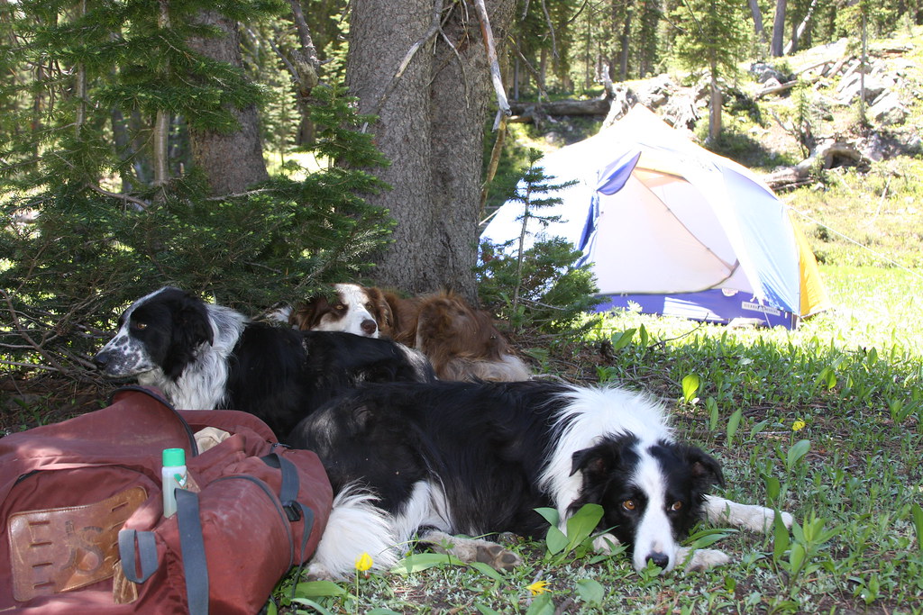
Above the ruins, we found a nice meadow and camped a few hundred feet from the creek. The tired crew and the 100% DEET bottle..
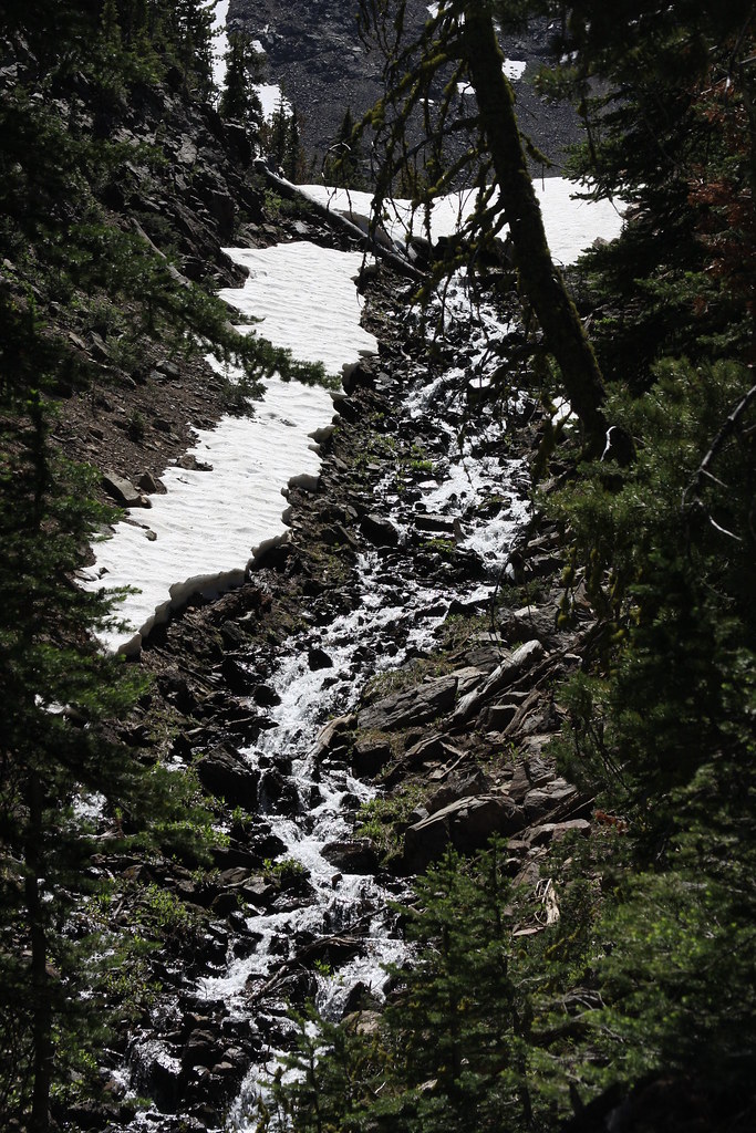
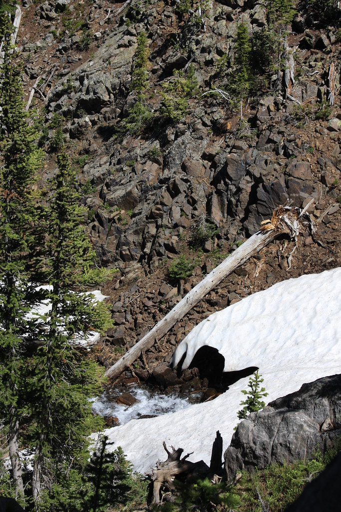
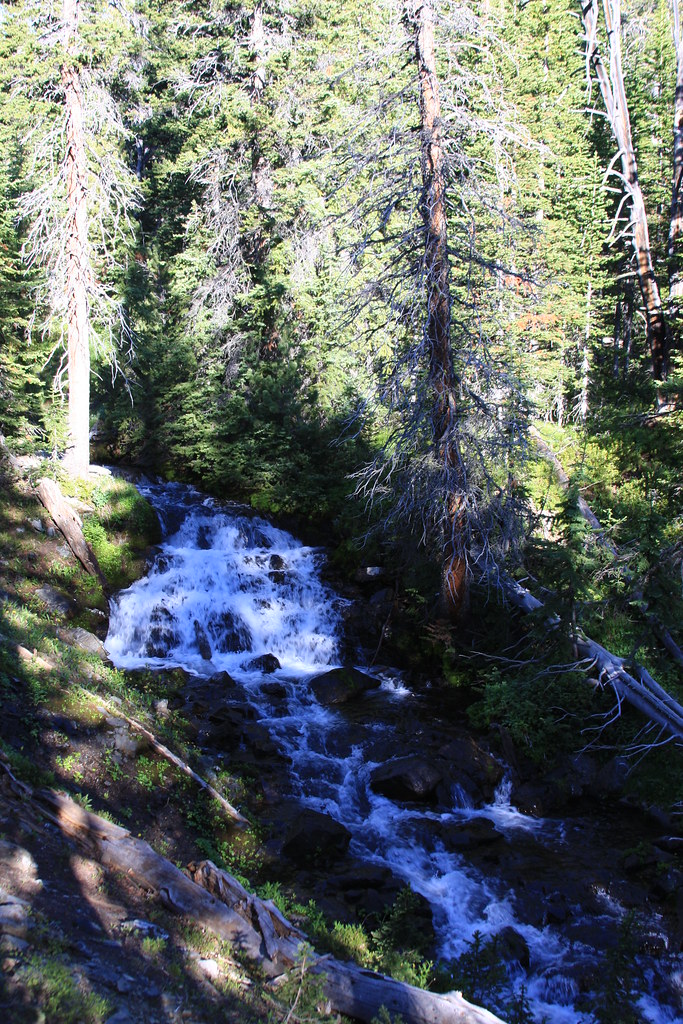
Finding the fish in Curly Lake were on some sort of anorexia bent, we decided to hike to the upper end of the drainage. Cascades below a small tarn.
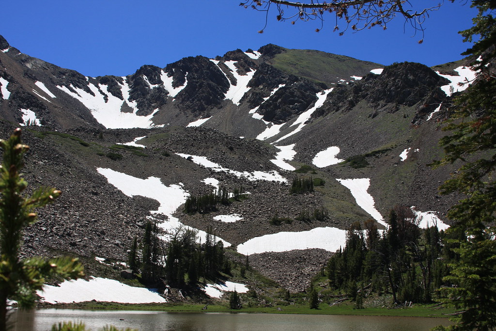
Tarn and no-name peak (10,426). There are several rock glaciers in the bowl.
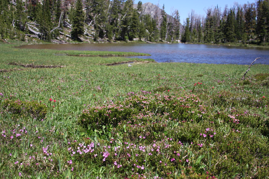
The heather and laurel were very abundant here.
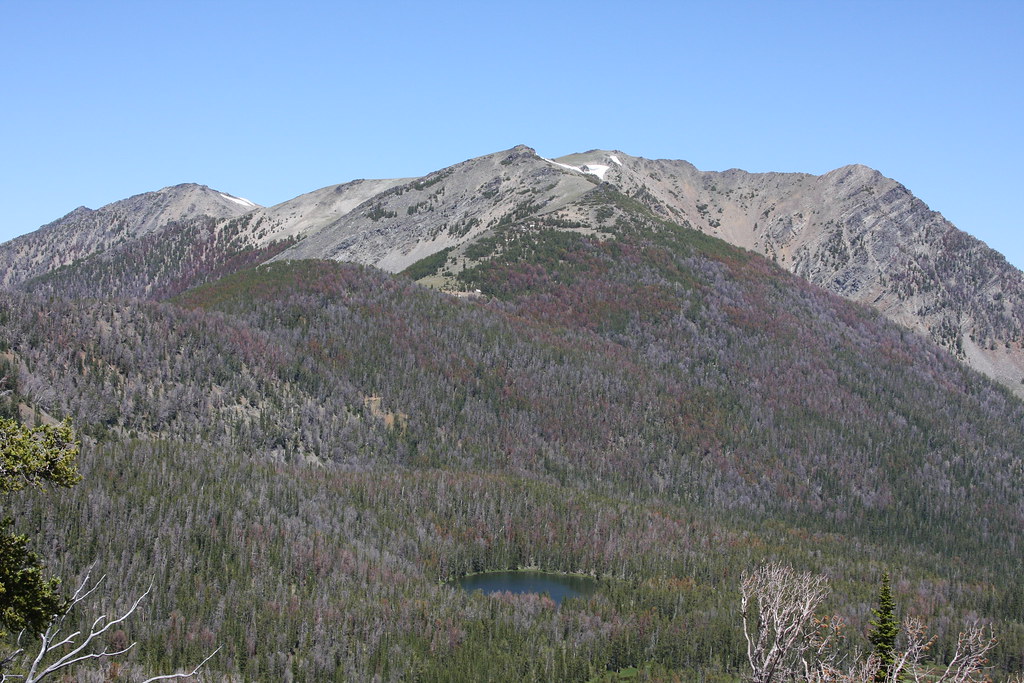
Looking northeast toward Curly Lake. The effect of mountain pine beetle on the whitebark pine is painfully evident. Forest Service Trail 7159 to McGovern and Rock Creeks passes though talus slope (below the snowbank) near the top of the un-named peak behind. That trail is another mountain biker favorite.
Curly Creek below tarn.
Curly Lake on our way back to the trail head.
Curley Creek.
We still have not yet made it to Beal Lake and maybe that's on a future trip. However, it is a shallow lake (very evident on Google Earth), likely fishless, and therefore not high on the must see list. Cury Lake was a nice over-nighter but probably not some place we will revist unless on the mountain bikes.
Featured image for home page:

The two primary access points are the Curly Creek trail head (FS Trail 7151) and the Curly Lake trail head (FS Trail 7159). The former is located about 2.5 miles south of Mammoth, while the latter is about 3 miles farther south and about a half mile above the Bismark Trail Head for Louise and Lost Cabin Lake trails. More access information was presented in those TR's:
http://backcountrypost.com/forum/threads/tobacco-root-mountains-louise-lake-trip.3710/
Our trip to the area was via Trail 7159 that climbs out of the South Boulder valley, passes through Westphal Parks and a low pass, thence down a few switchbacks to Curly Creek and maybe another 3/4 mile to the lake. From the trail head to the lake is only 3.1 miles.
About a half mile in. Middle Mountain left with Noble Peak just to the right.
A little farther up the trail looking south again. Lost Cabin Lake sits at the upper end of the bowl.
Alberta Penstemon is relatively abundant along this section of trail.
Westphal Parks. There is perennial water here.
Curly Lake. Mountain is un-named.
The area immediately surrounding Curly Lake is swamping for the most part with the expected result of rather abundant mosquitoes. After a bit of debate on the merits of taking FS Trail 7158 (Devil's Slide Trail) and continuing over another divide to Beal Lake, we decided to continue further south. There is the remains of what I suspect was a miner's cabin, but little sign (thankfully) of any mining.
Above the ruins, we found a nice meadow and camped a few hundred feet from the creek. The tired crew and the 100% DEET bottle..
Finding the fish in Curly Lake were on some sort of anorexia bent, we decided to hike to the upper end of the drainage. Cascades below a small tarn.
Tarn and no-name peak (10,426). There are several rock glaciers in the bowl.
The heather and laurel were very abundant here.
Looking northeast toward Curly Lake. The effect of mountain pine beetle on the whitebark pine is painfully evident. Forest Service Trail 7159 to McGovern and Rock Creeks passes though talus slope (below the snowbank) near the top of the un-named peak behind. That trail is another mountain biker favorite.
Curly Creek below tarn.
Curly Lake on our way back to the trail head.
Curley Creek.
We still have not yet made it to Beal Lake and maybe that's on a future trip. However, it is a shallow lake (very evident on Google Earth), likely fishless, and therefore not high on the must see list. Cury Lake was a nice over-nighter but probably not some place we will revist unless on the mountain bikes.
Featured image for home page:
Last edited: