Tobacco Root Mountains 2017

John Goering

Member
Joined
Sep 30, 2014
Messages
484
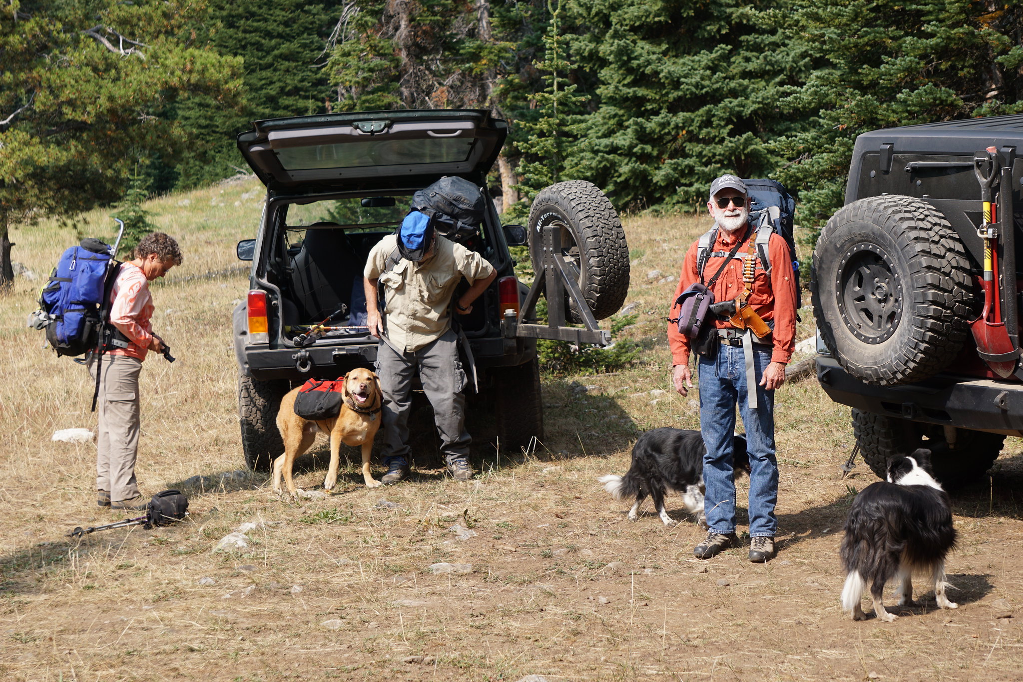
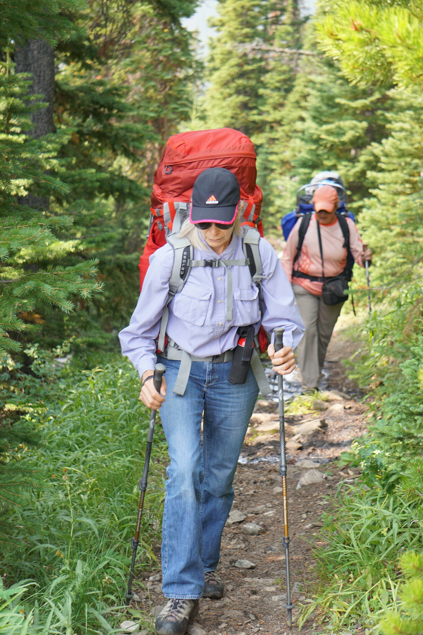
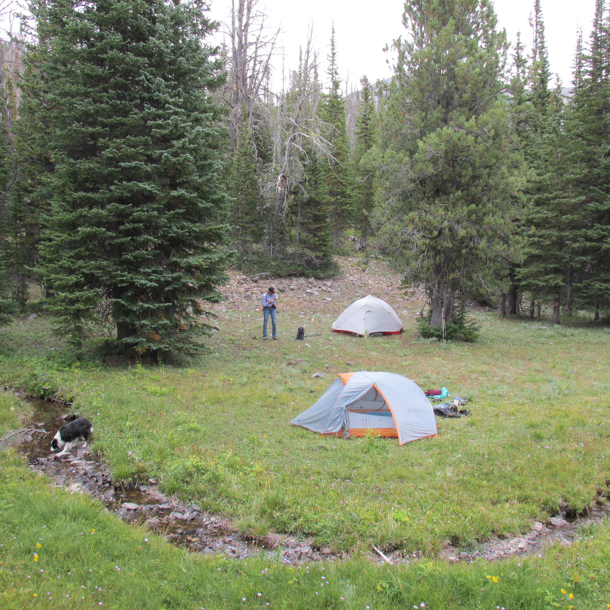
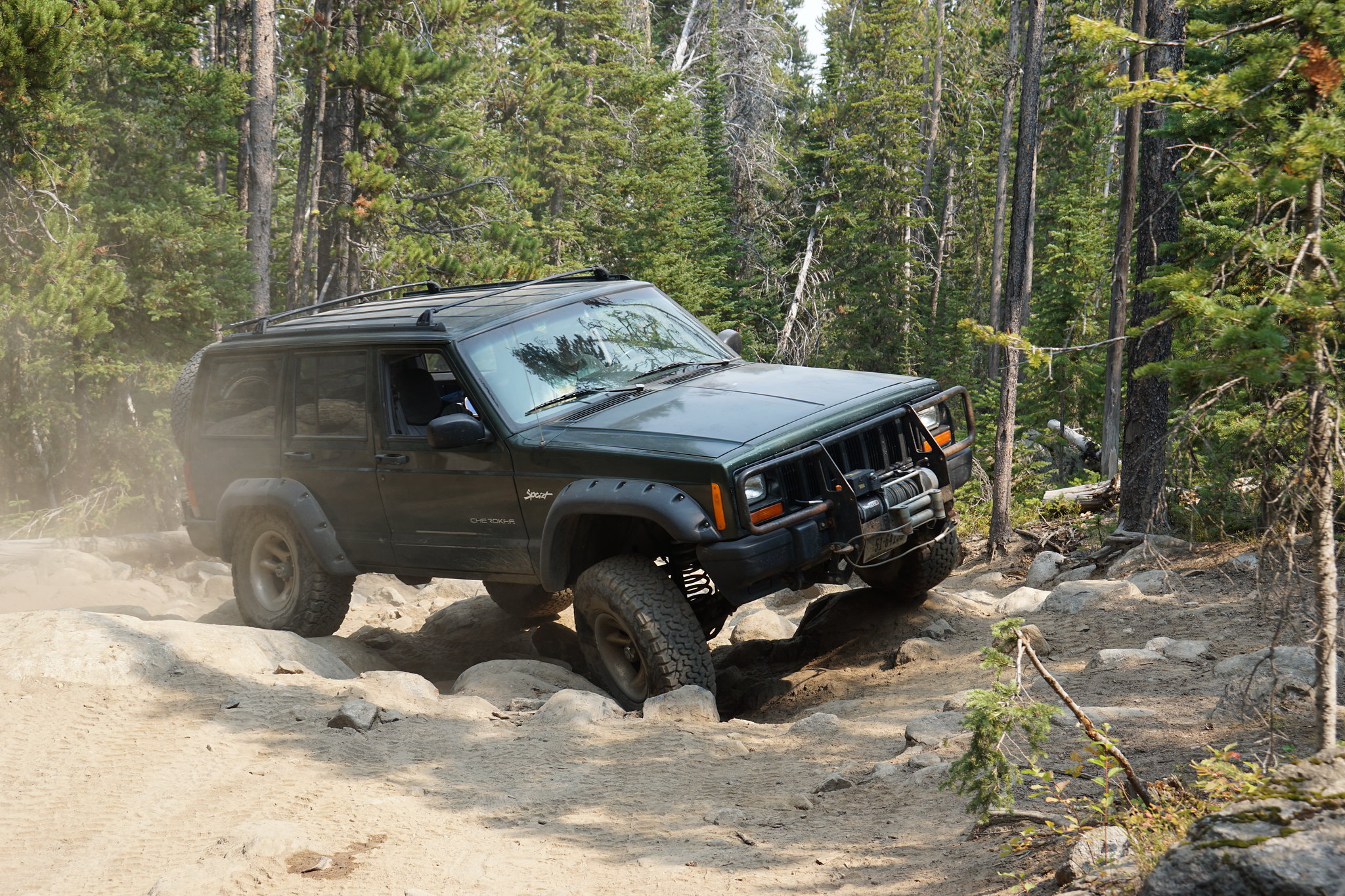
I'm posting all of our last summer Tobacco Root adventures in this thread. Most of them cover places that I have posted threads on before and the reader should search those if looking for access information. While one trip was indeed backpacking (Curly/Beall Lakes) all the remainder were either day hikes or Jeep camping/day hikes.

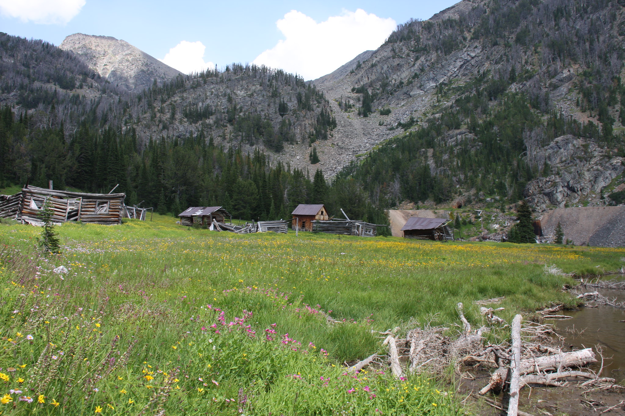
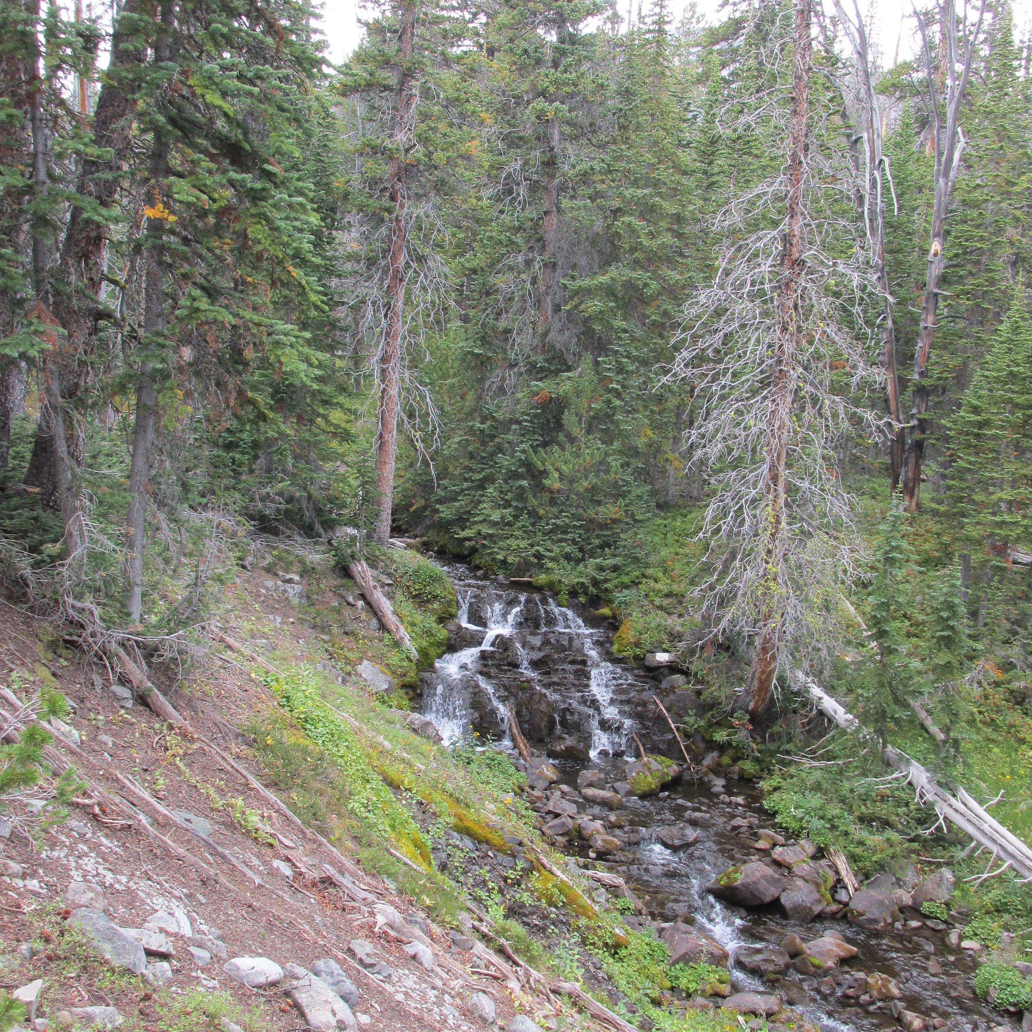
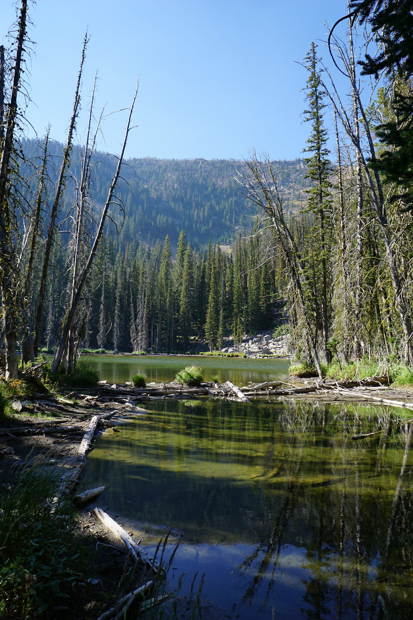
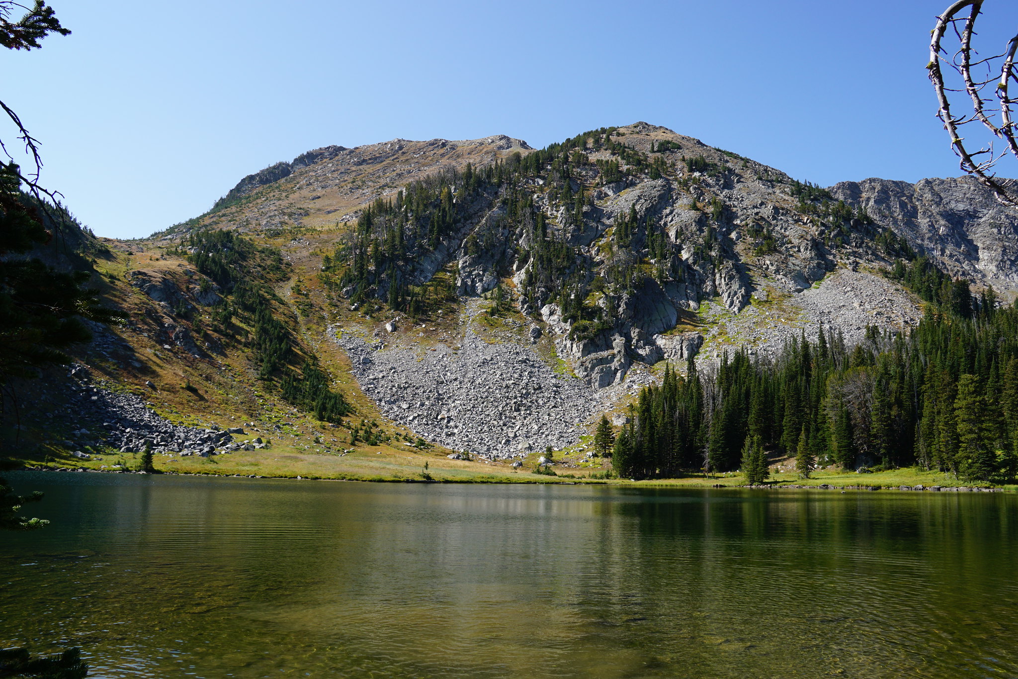
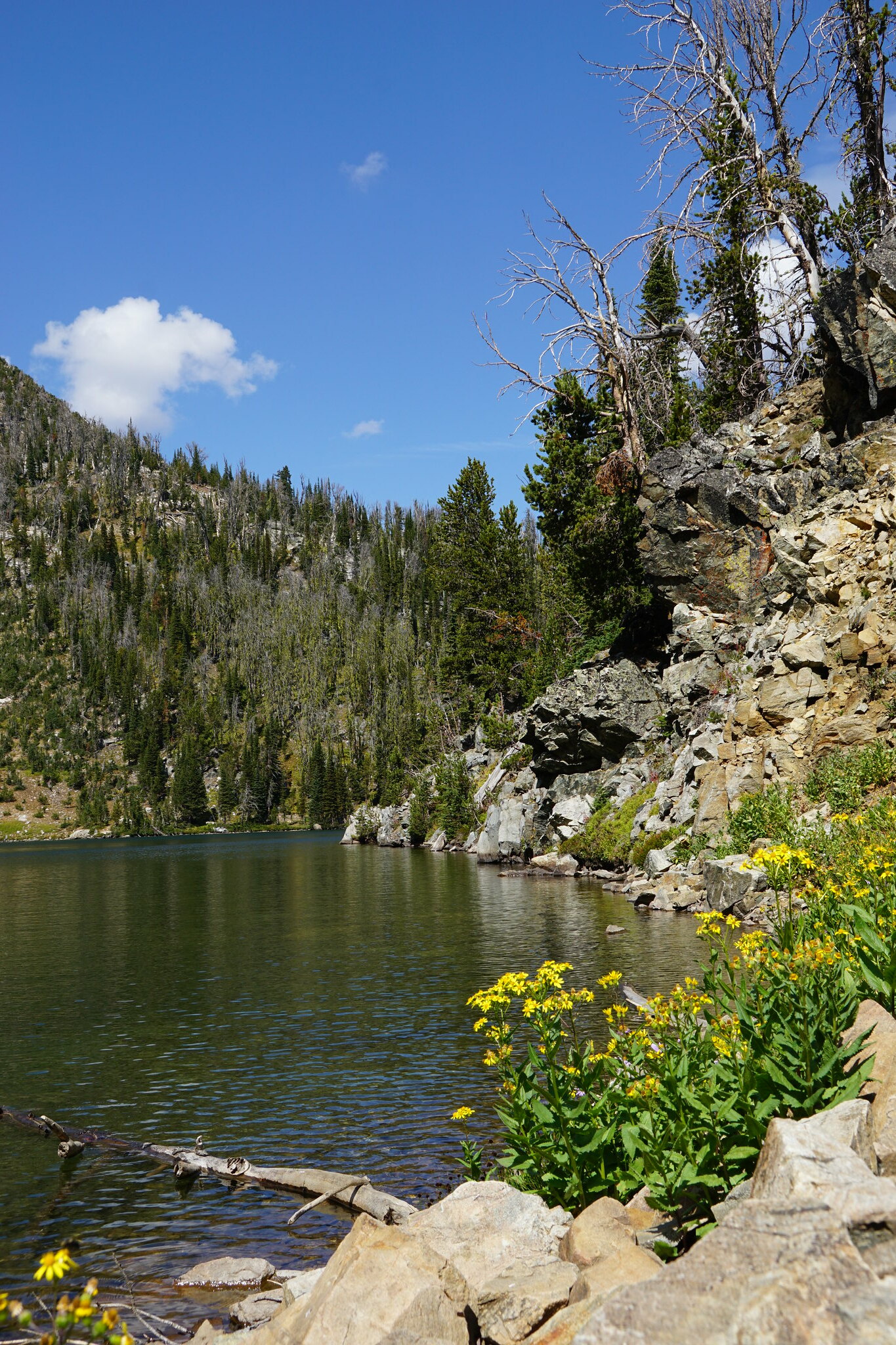
The first trip was the cabin fever cure in early June. My wife and I were looking for something low elevation (to avoid the snow) for a day hike and settled for Camp Creek Reservoir. For full disclosure, Camp Creek Reservoir exists pretty much in name only. It was purposely breached, probably in the mid 1970's, because it likely wasn't economical to bring it up to Federal safety requirements. There are at least a half dozen other small dams in the Tobacco Roots that met the same fate. Access to this area is via FS Road 160 up South Willow Creek from the old mining town of Pony, MT. The trailhead for FS Trail 6309 is at the north end of the Potosi Campground and the trail follows S. Willow Creek downstream (north) for approximately a mile before heading northeast up a steep grade out of S. Willow into the Camp Creek drainage. Mileage from the campground to the "reservoir" is about 2.5 miles and relatively scenic. For the first mile, you just have to focus your eyes on the scenery and not at your feet. A text book page from the Montana Noxious Weed list and a reason some degree of range management is required for the over populous bovine population on the FS grazing allotment. Enough.

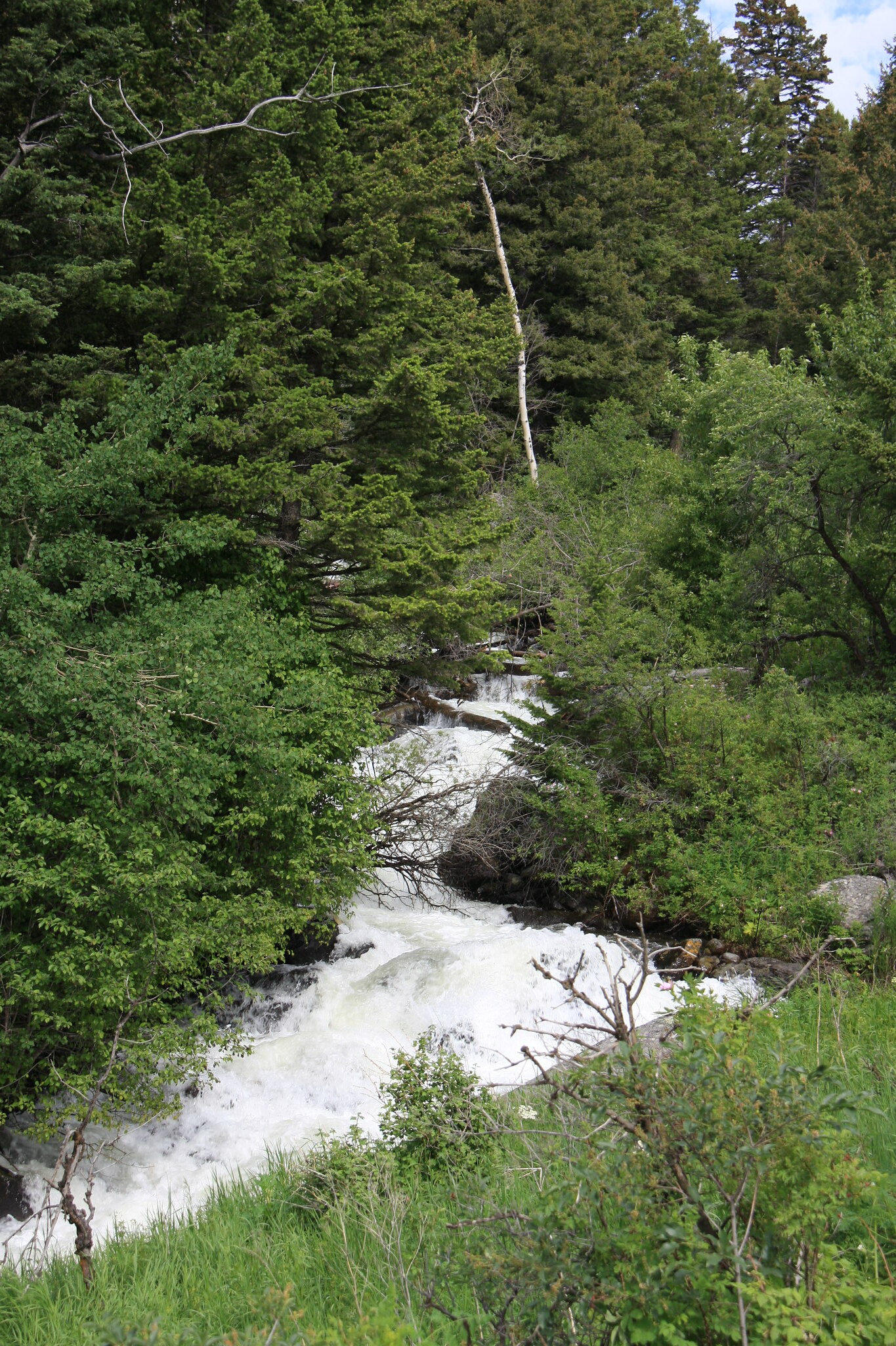
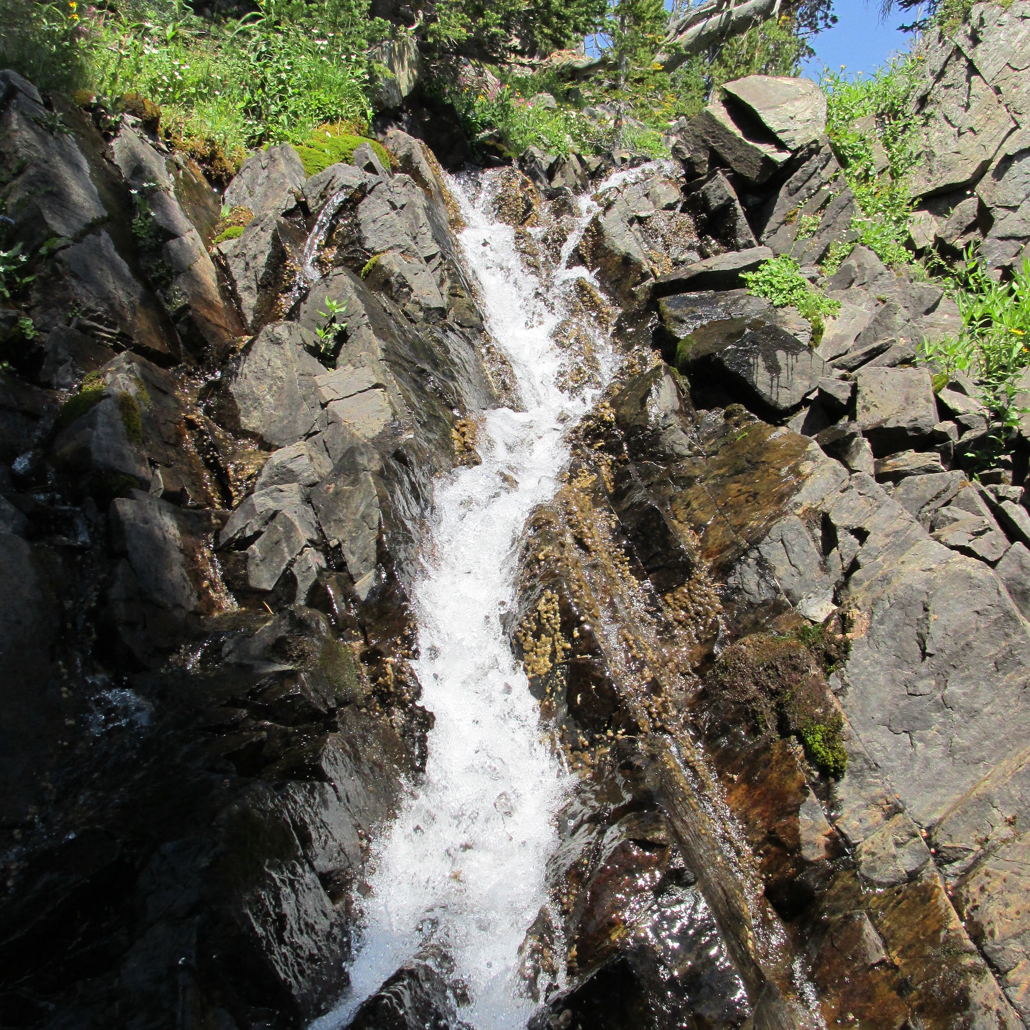
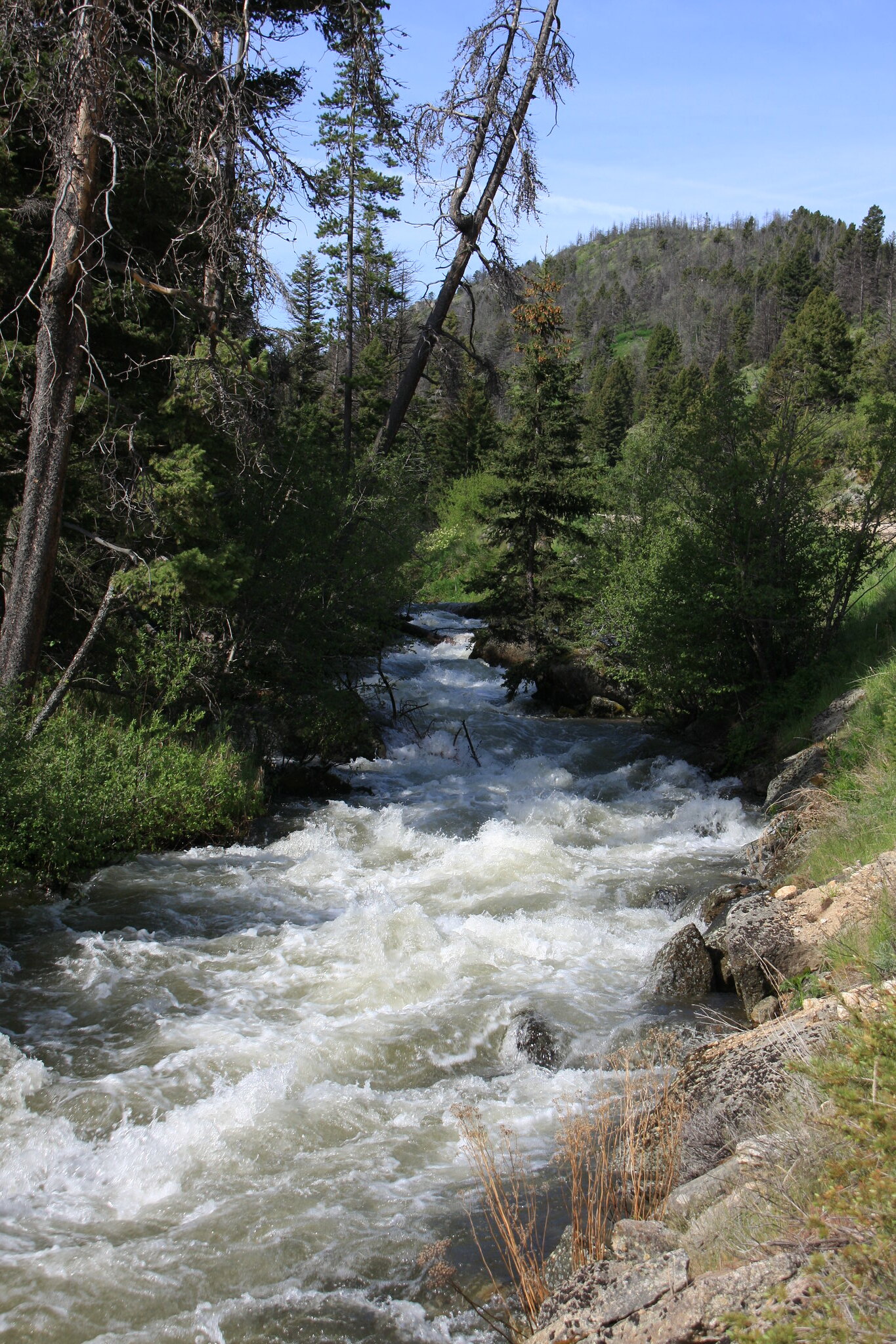
South Willow Creek was really ripping. I didn't get a photo of the ford at the trailhead but it was really moving there also. It would be an adrenaline rush in a kayak, at least until you got to the first log-----
34358507373_e353a92bd6_k.jpg


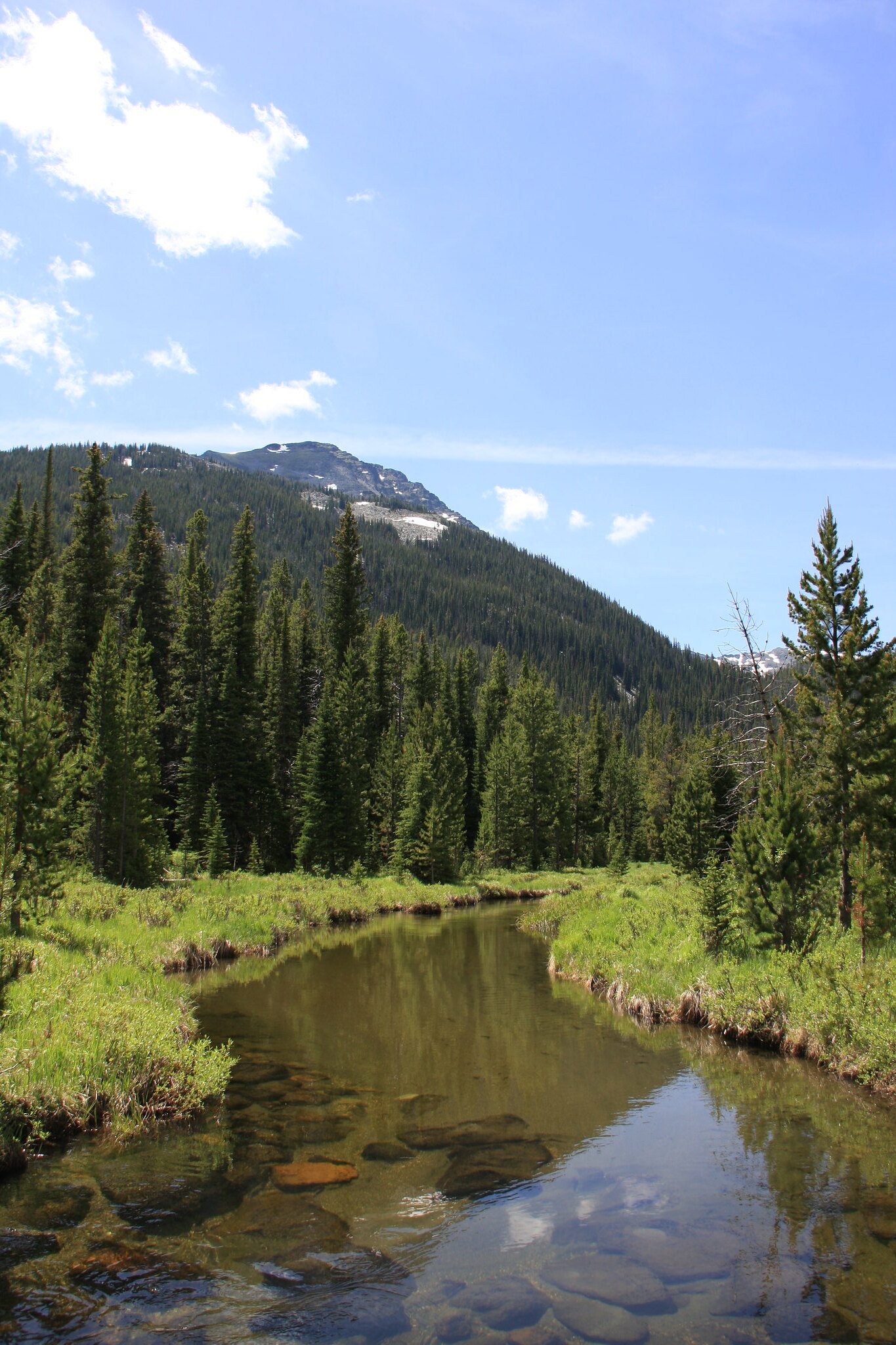
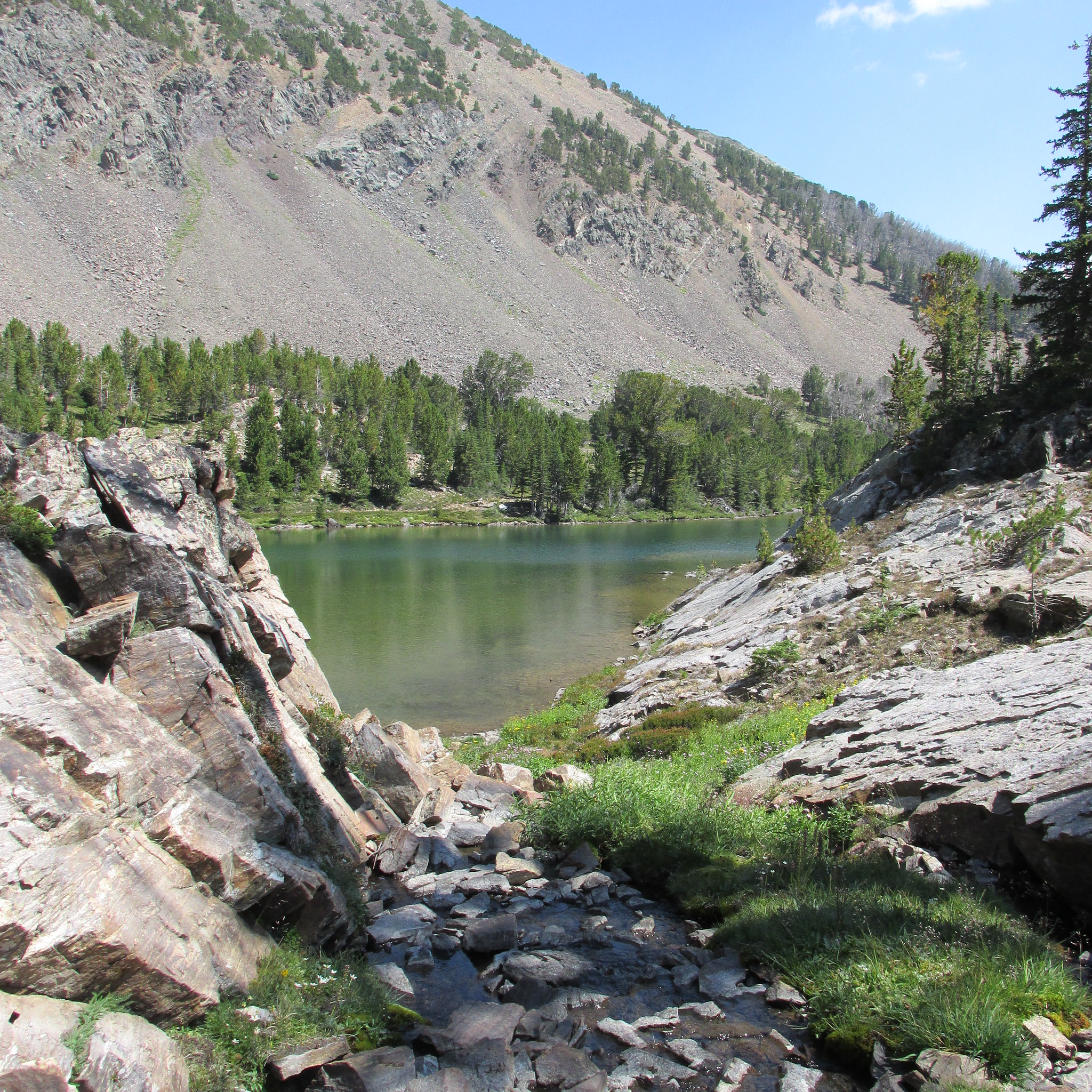
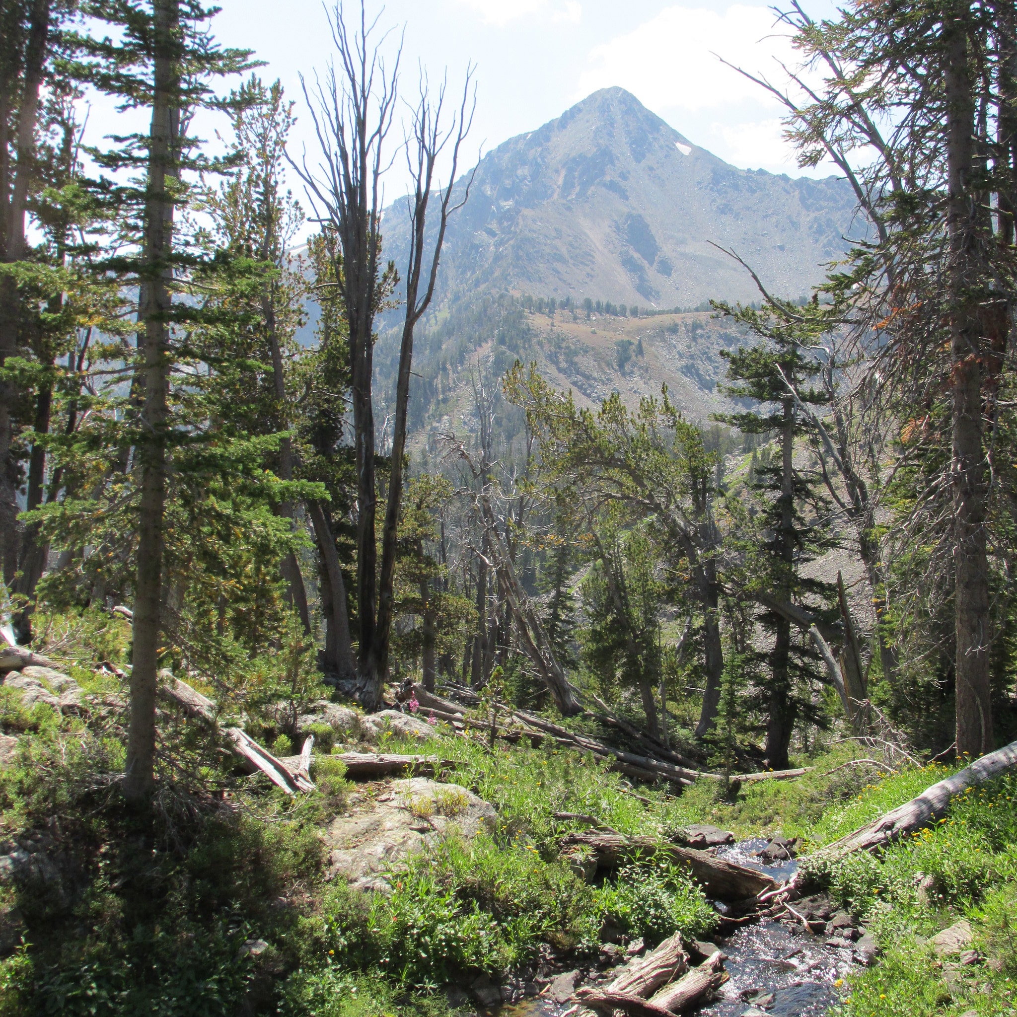
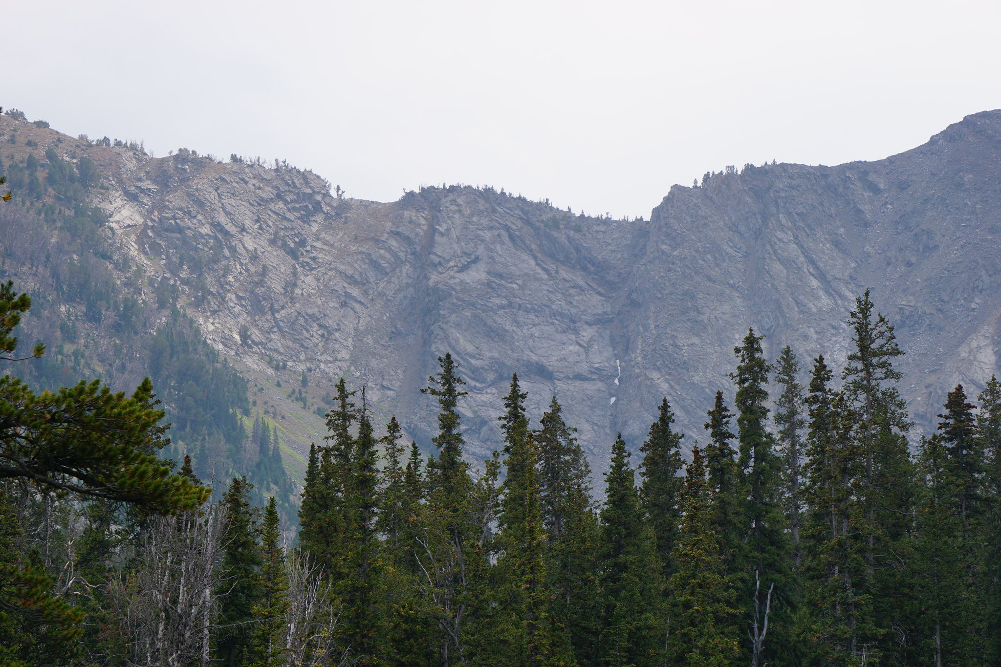
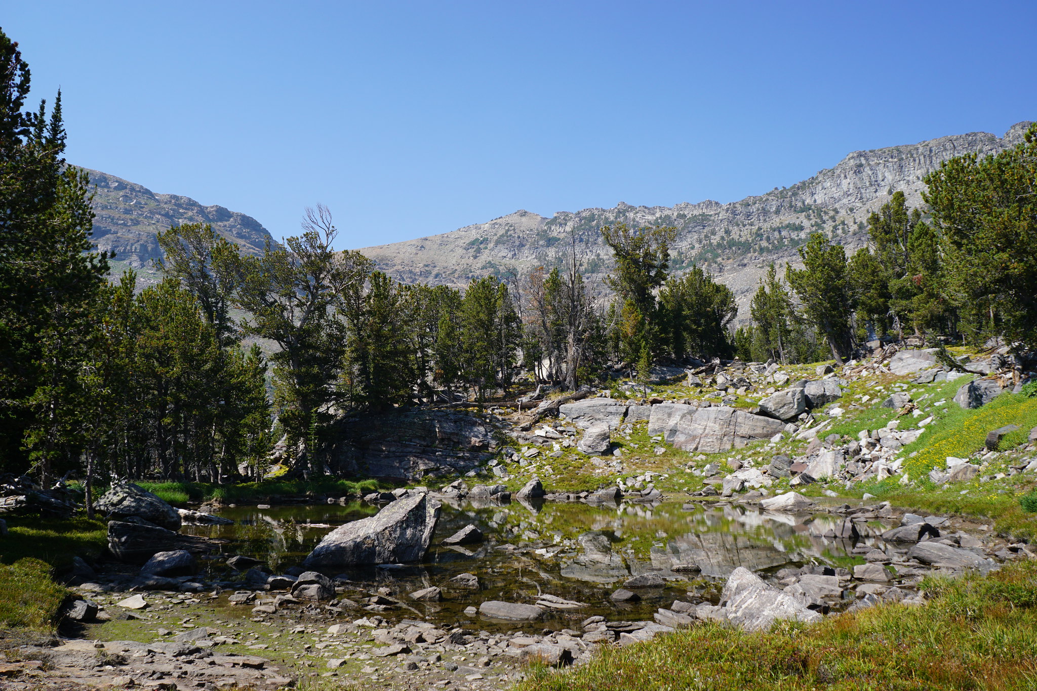
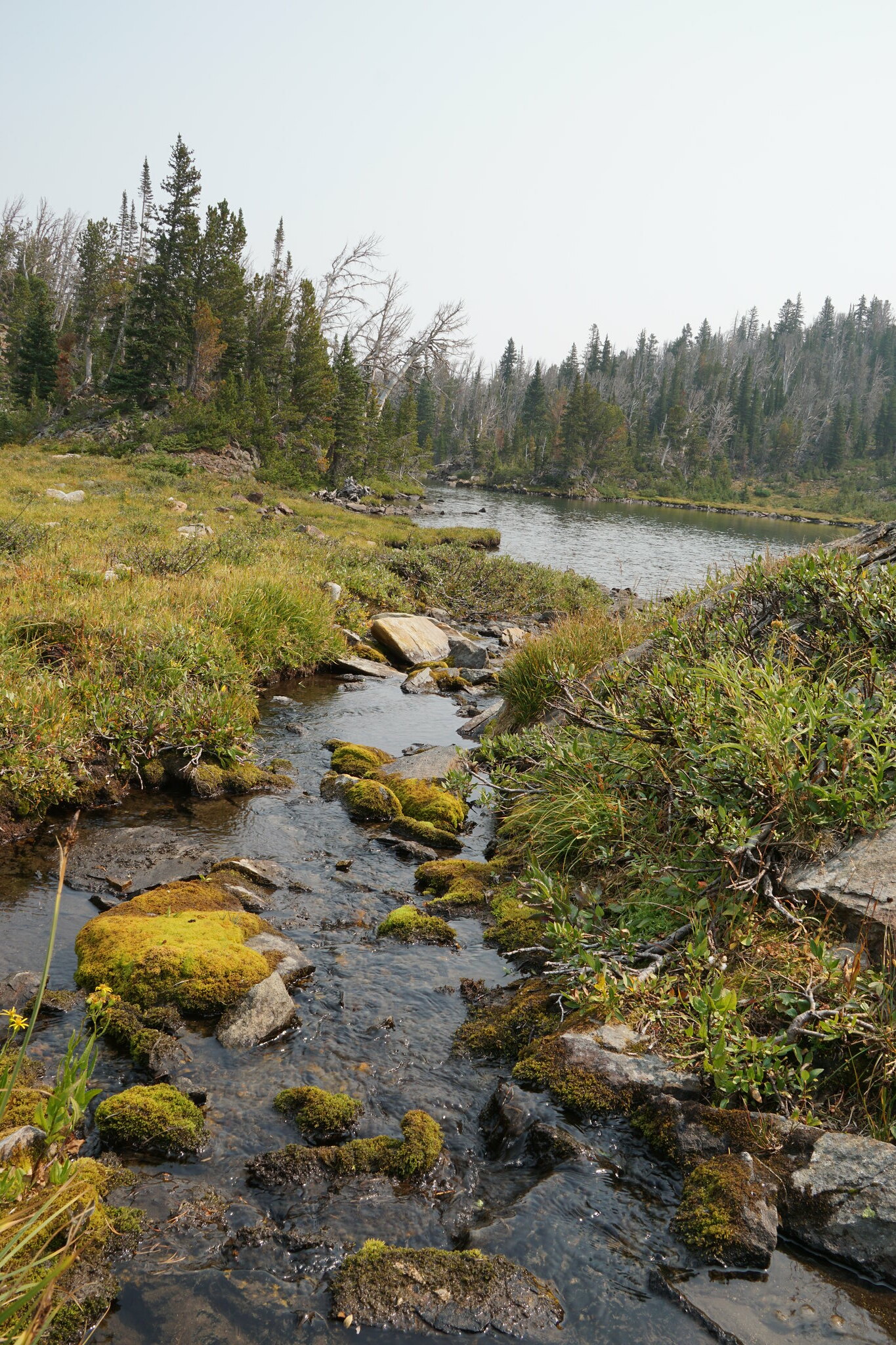
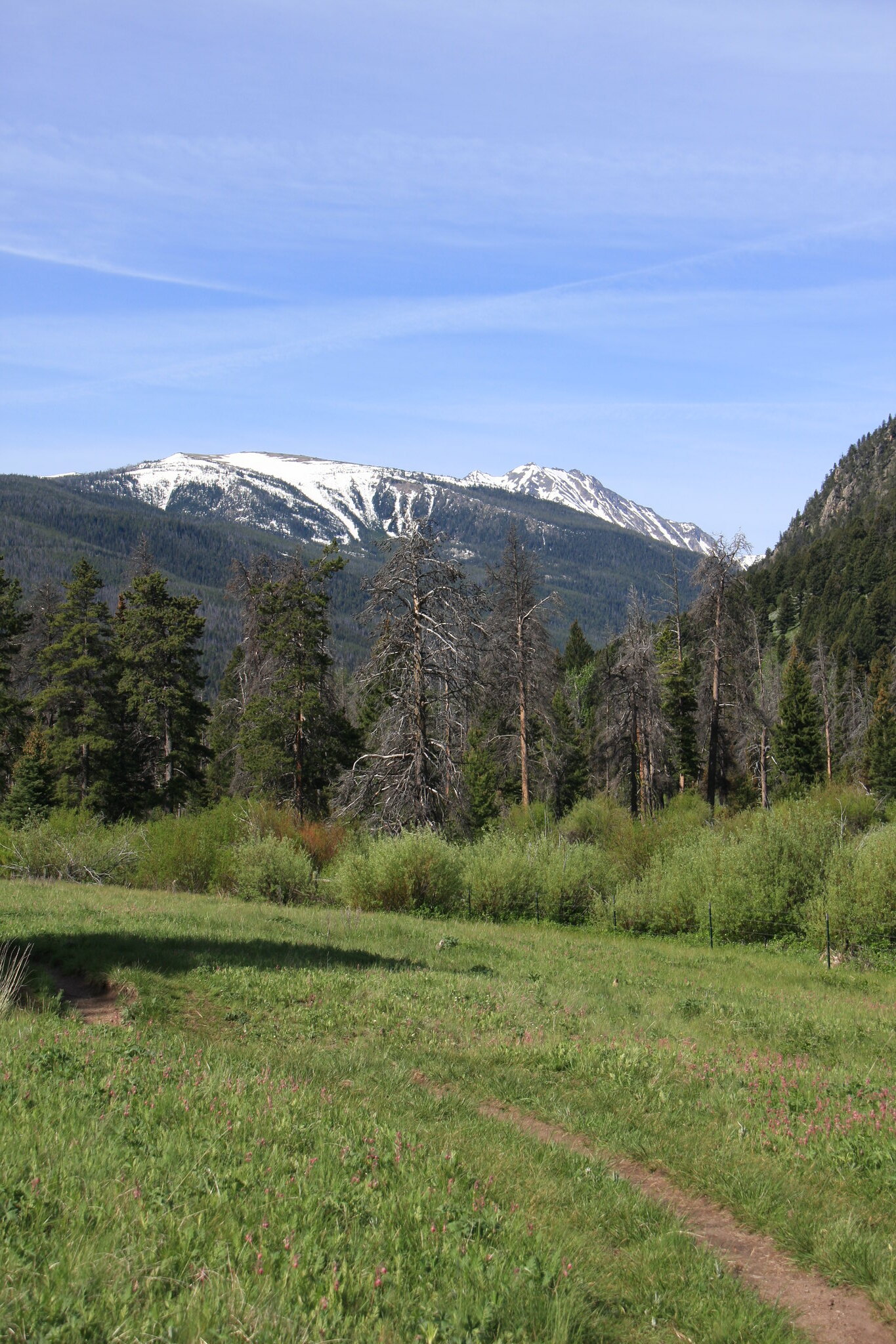
Looking south, upstream, from trail 6309 in a small area of mostly native vegetation. Branham Peaks in background.
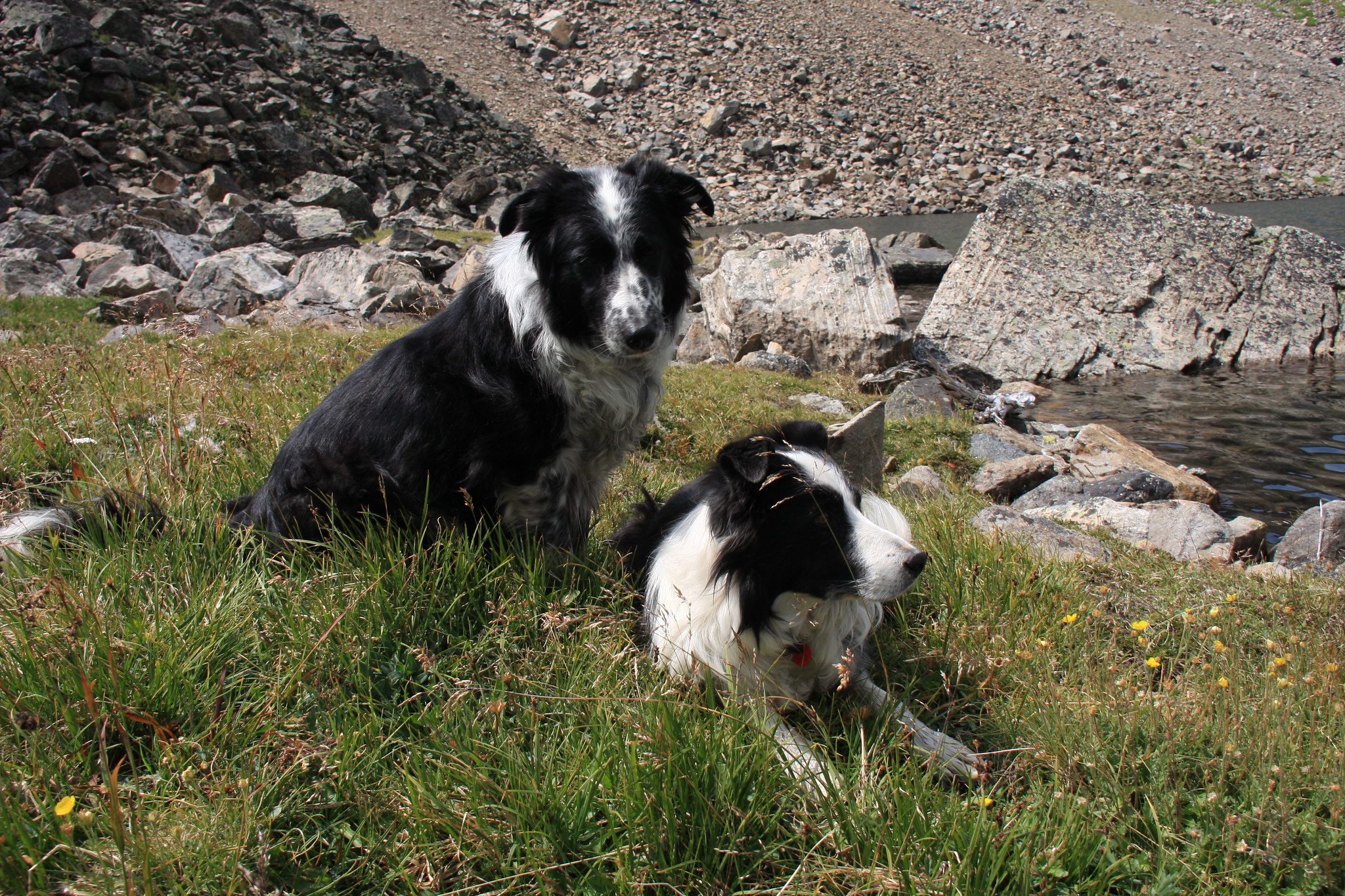
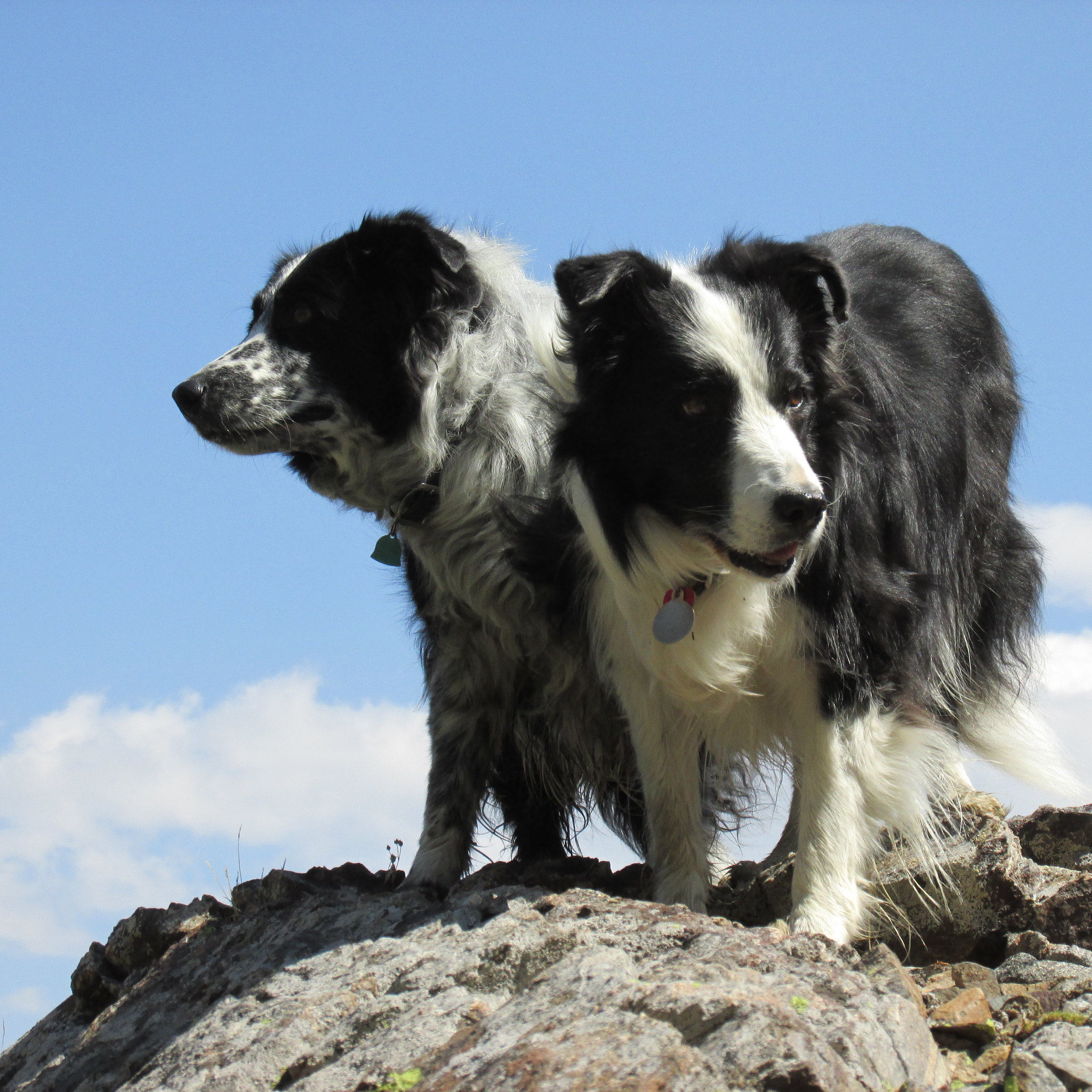
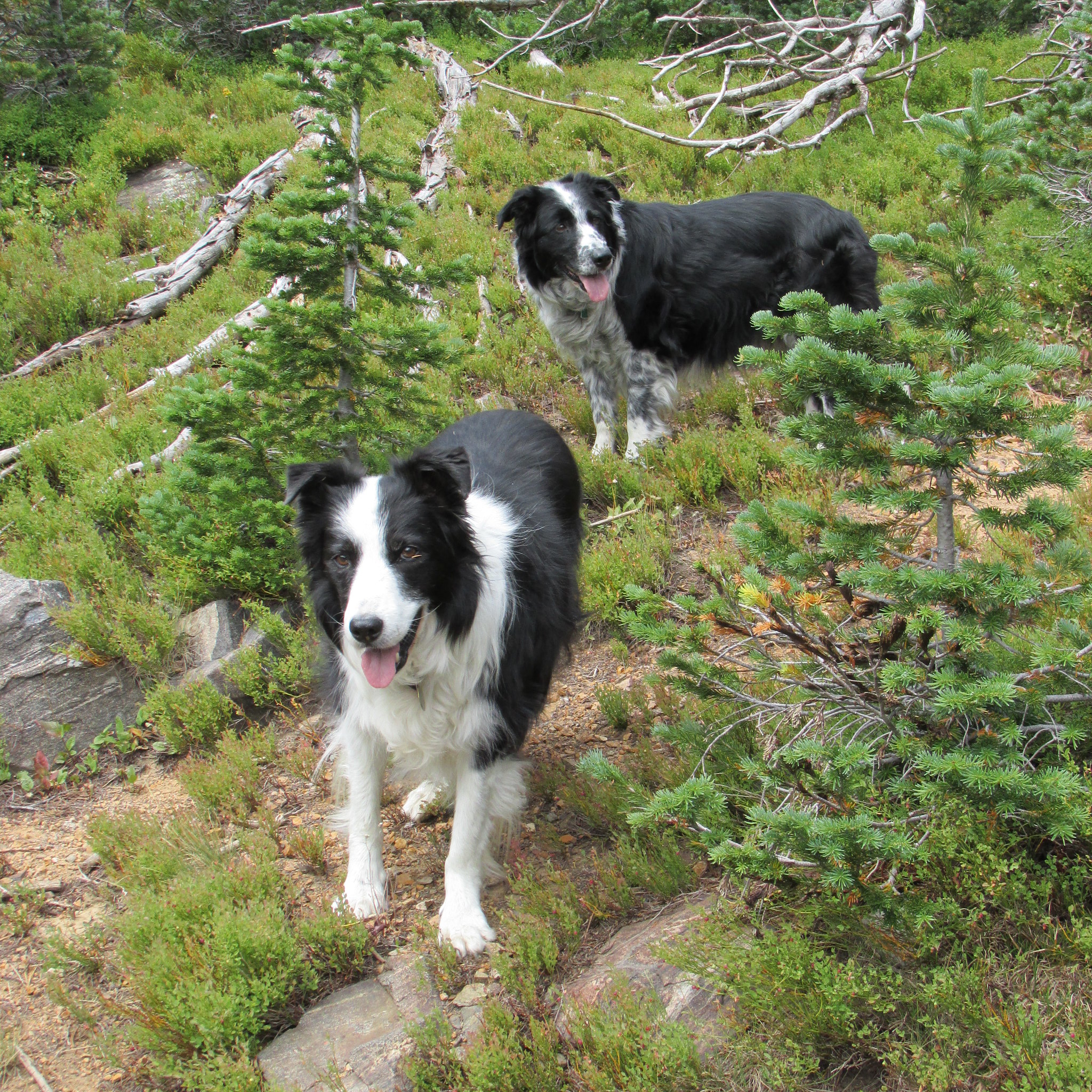
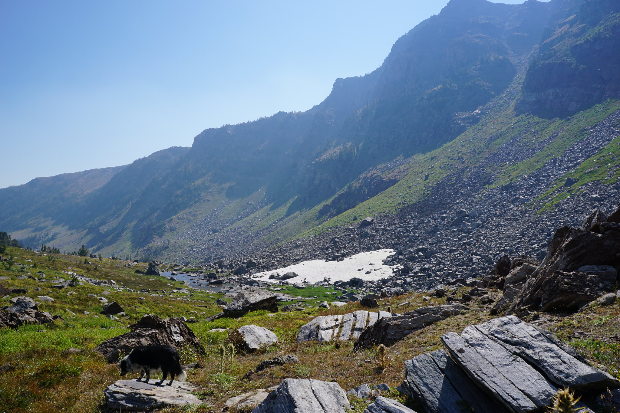
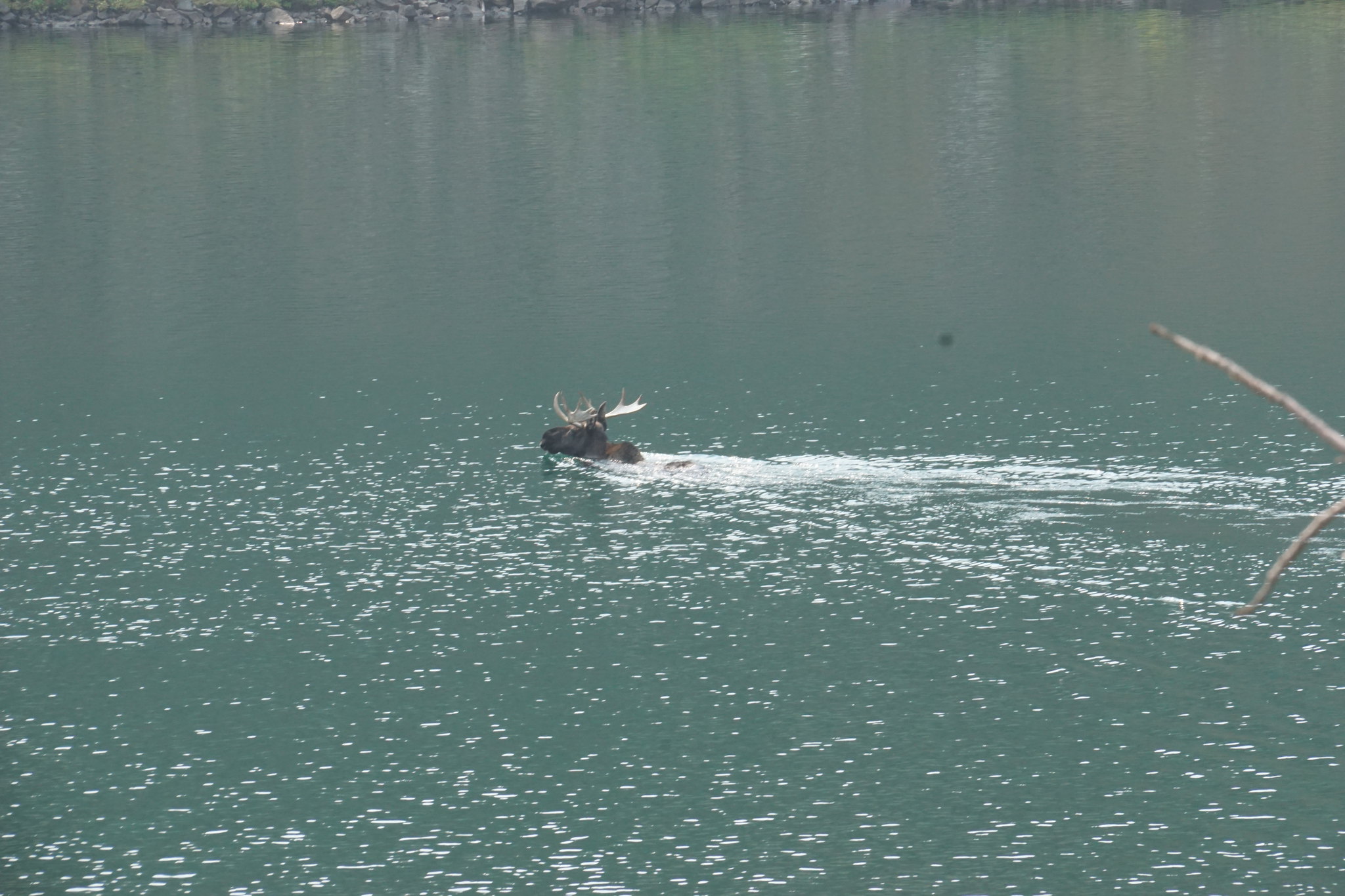
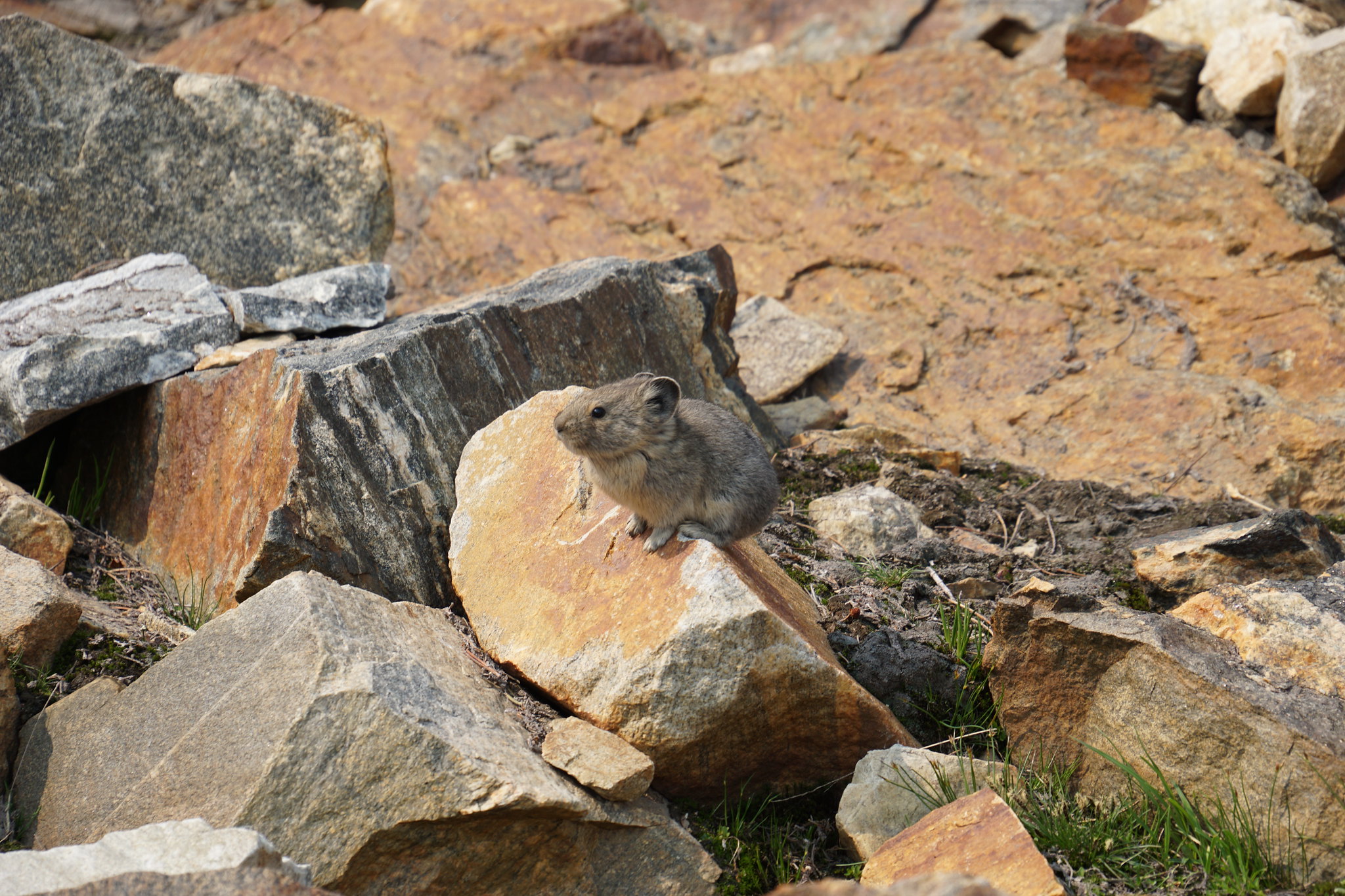
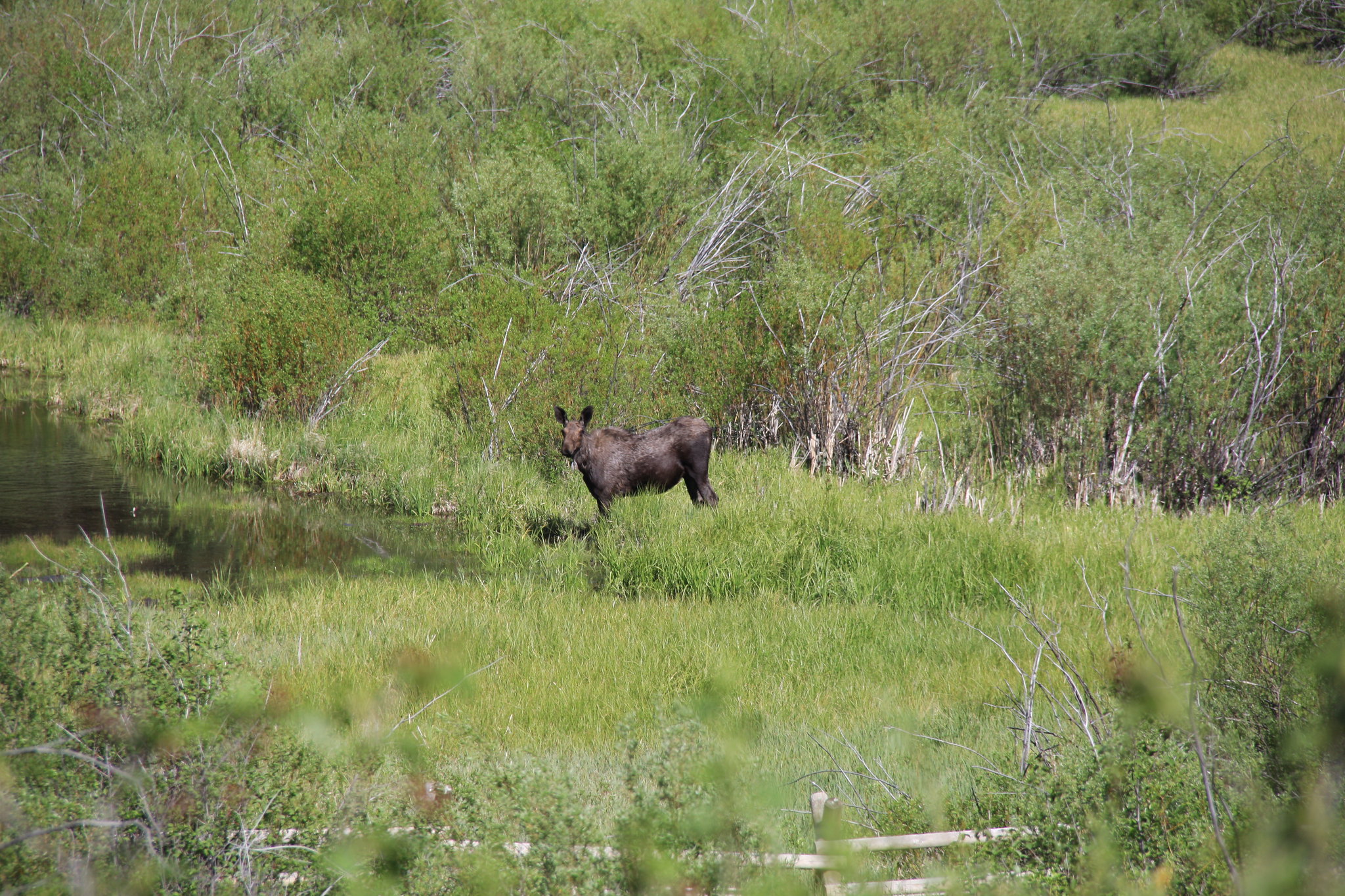
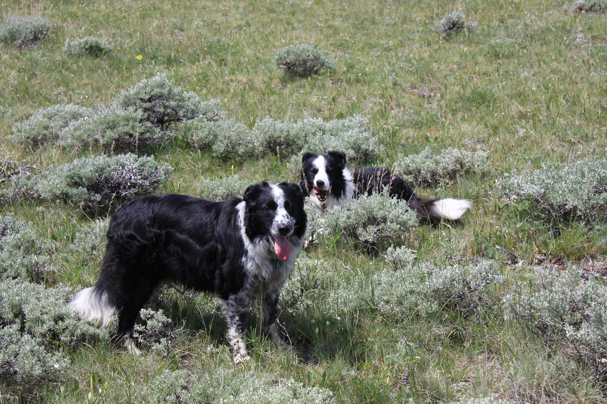
35003077512_20cc5f0112_k.jpg


Wildlife
35003067772_43f9a3dabc_k.jpg


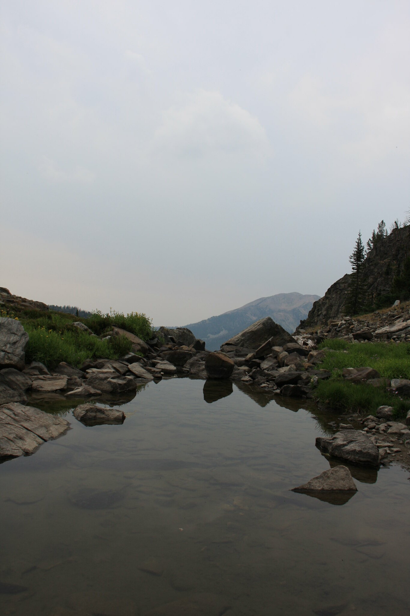
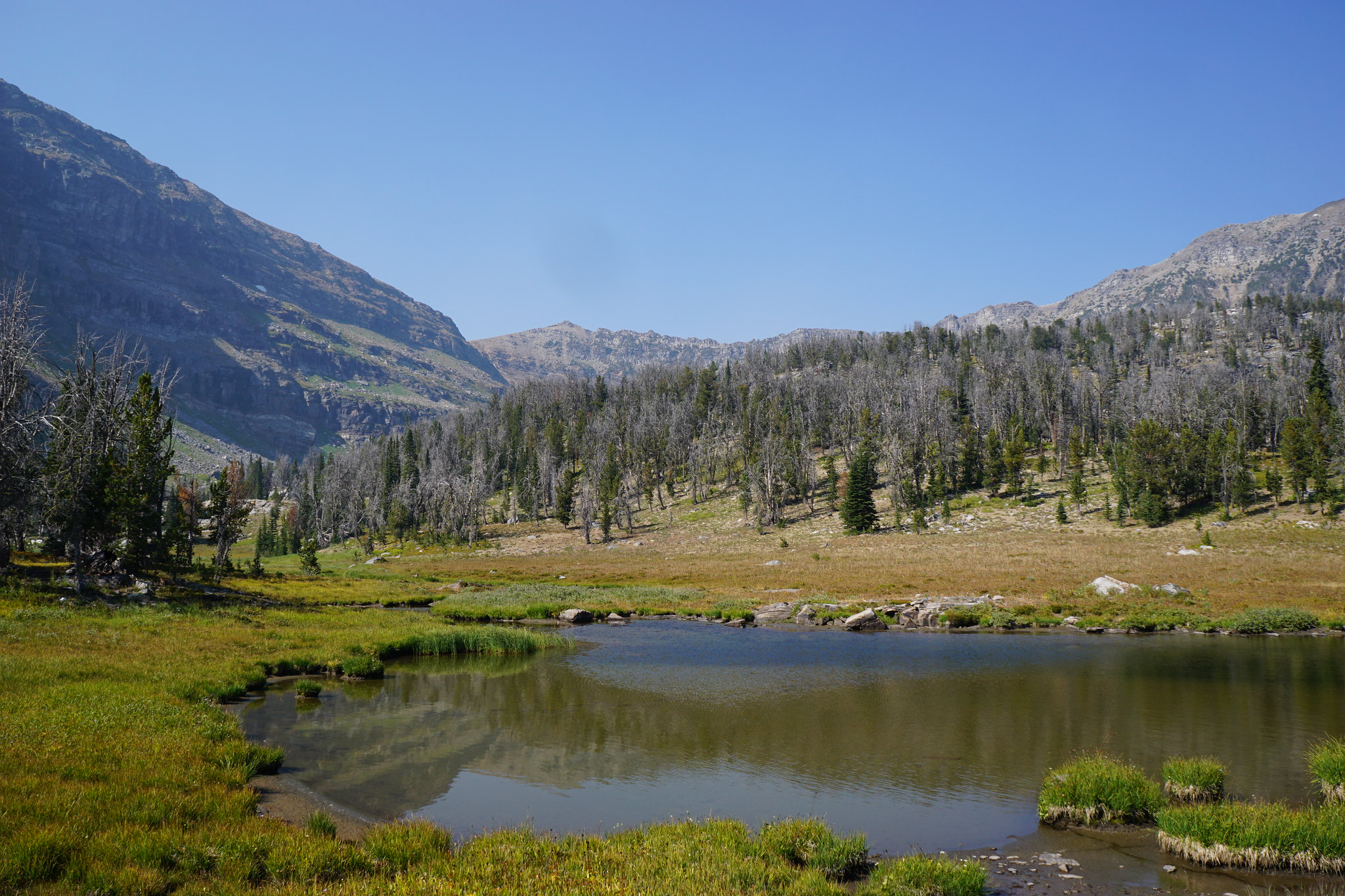
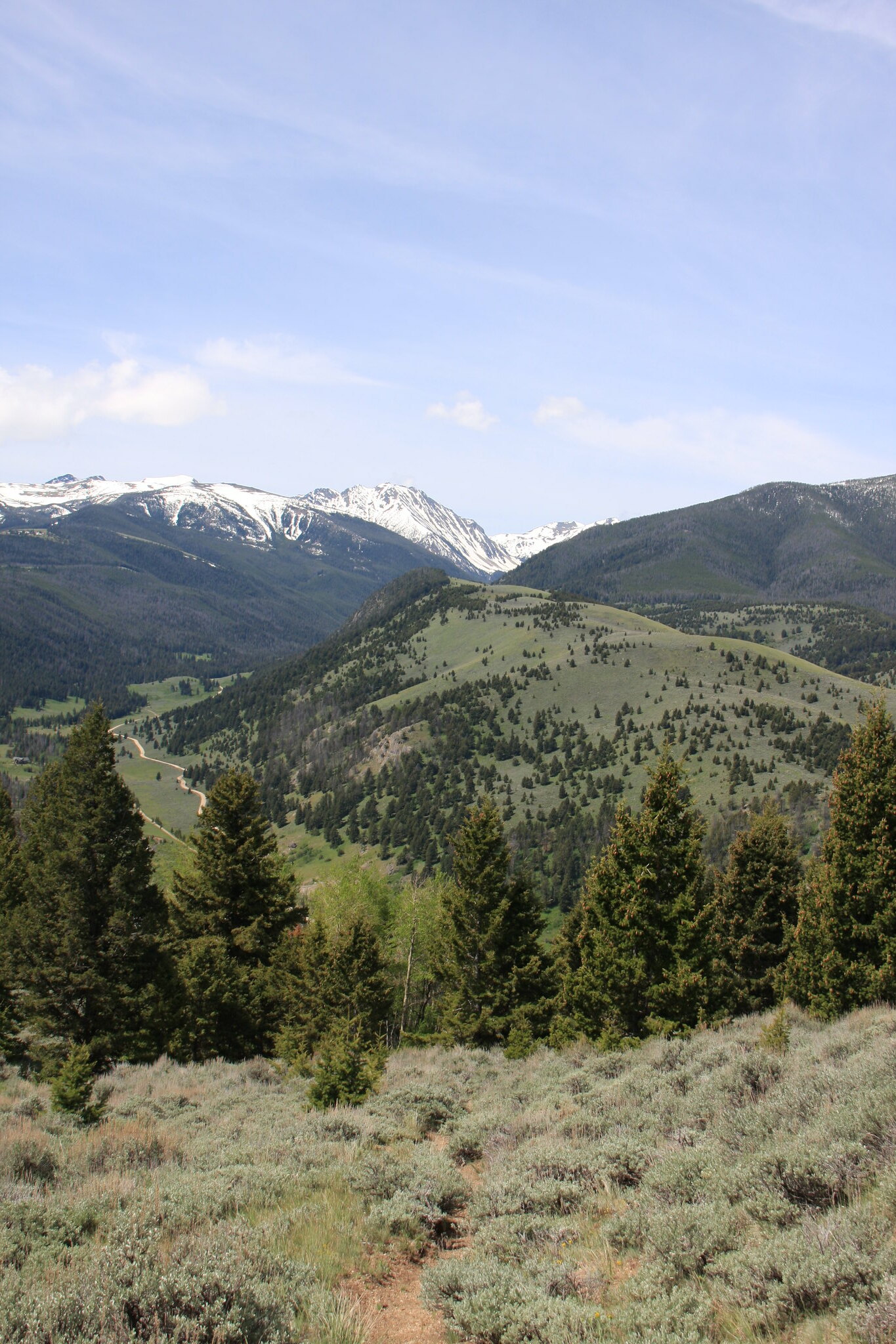
Near the S. Willow Camp Creek divide. At this point, mixed sagebrush/fir habitat.
35168177515_b3cda0f19a_k.jpg


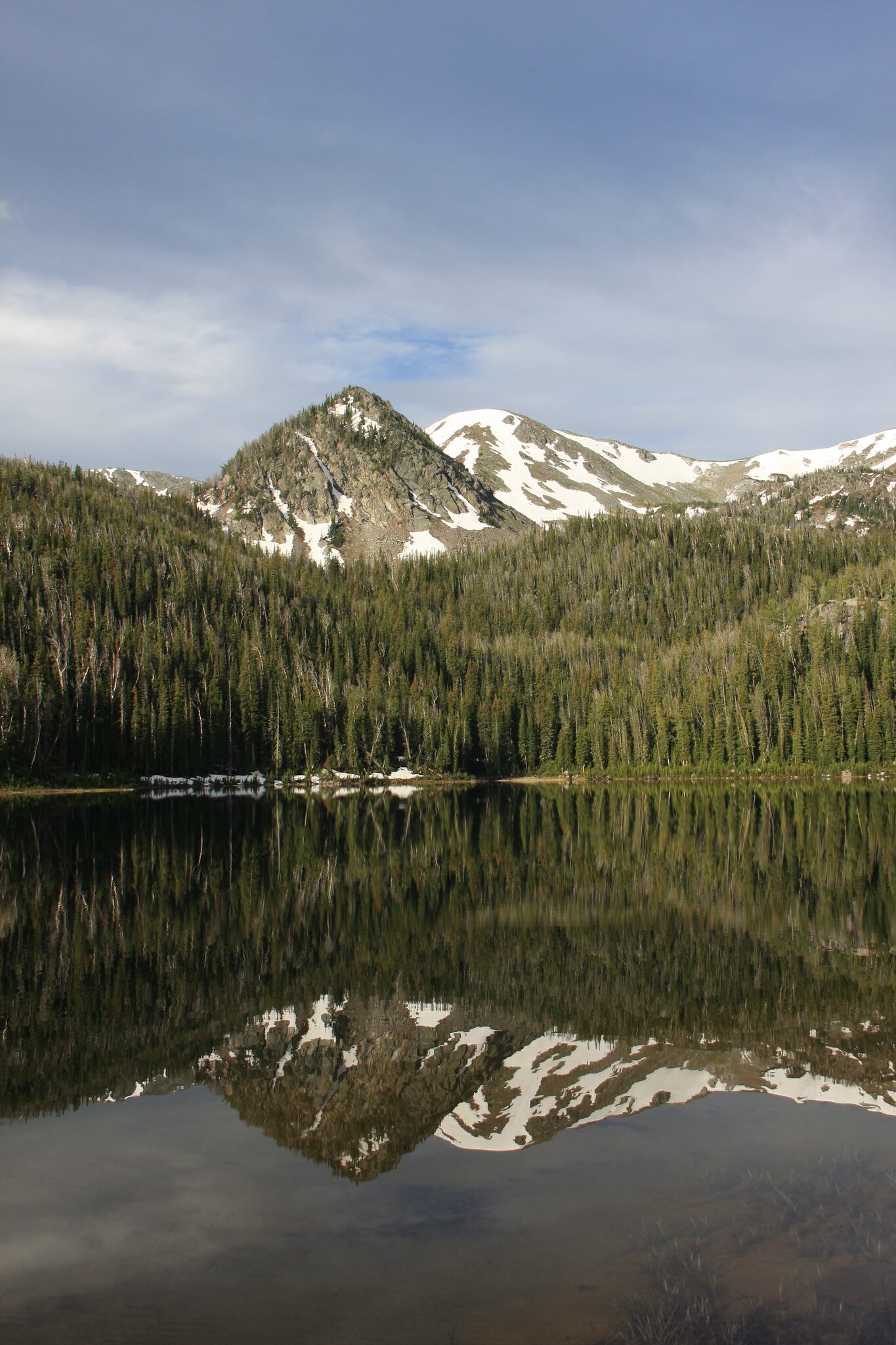
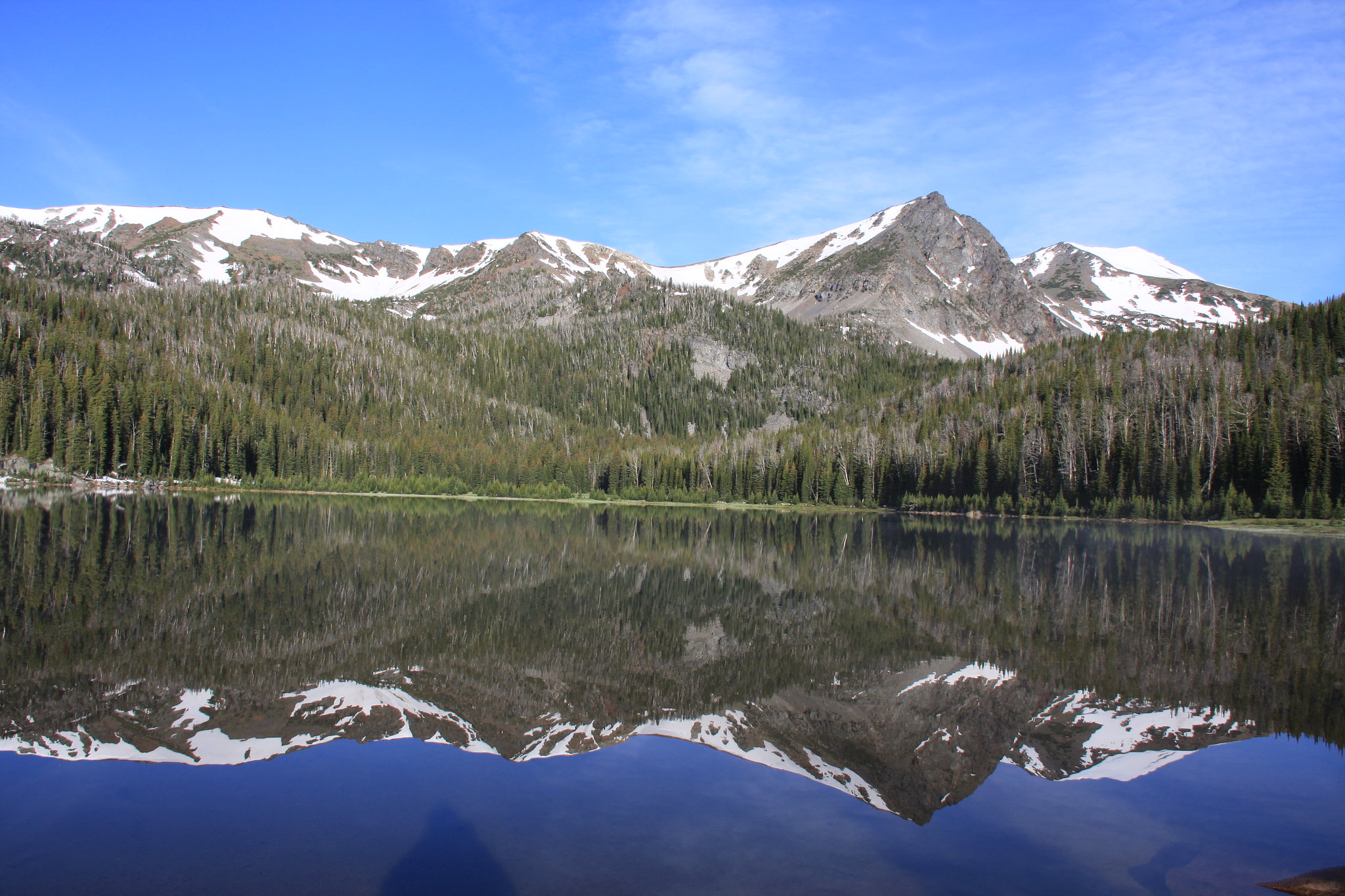
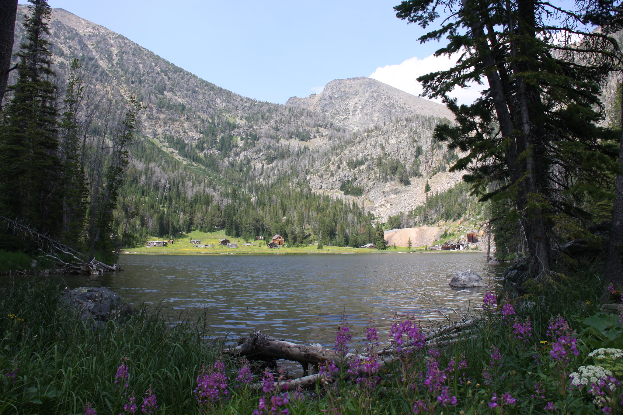
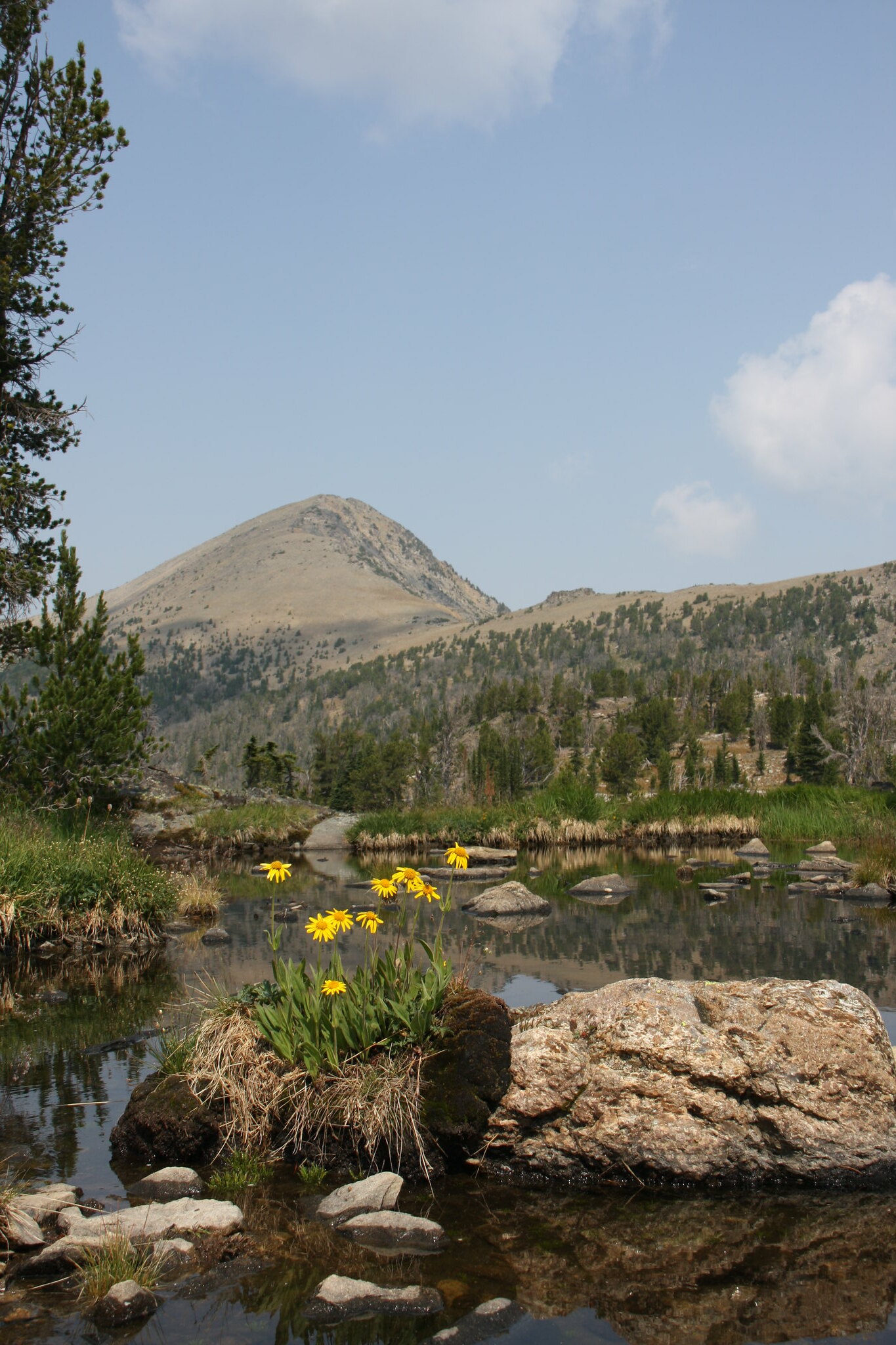
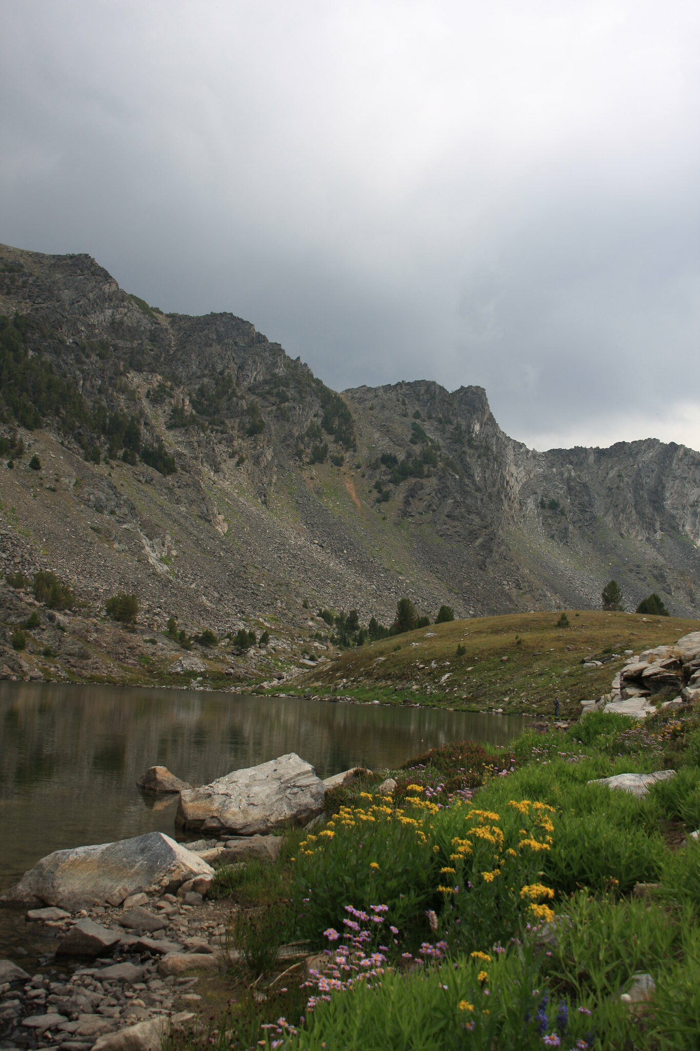
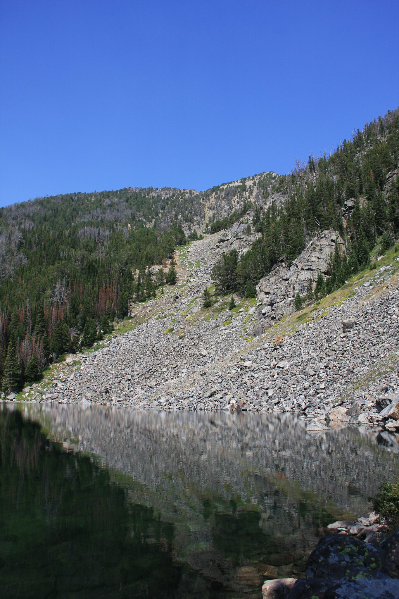
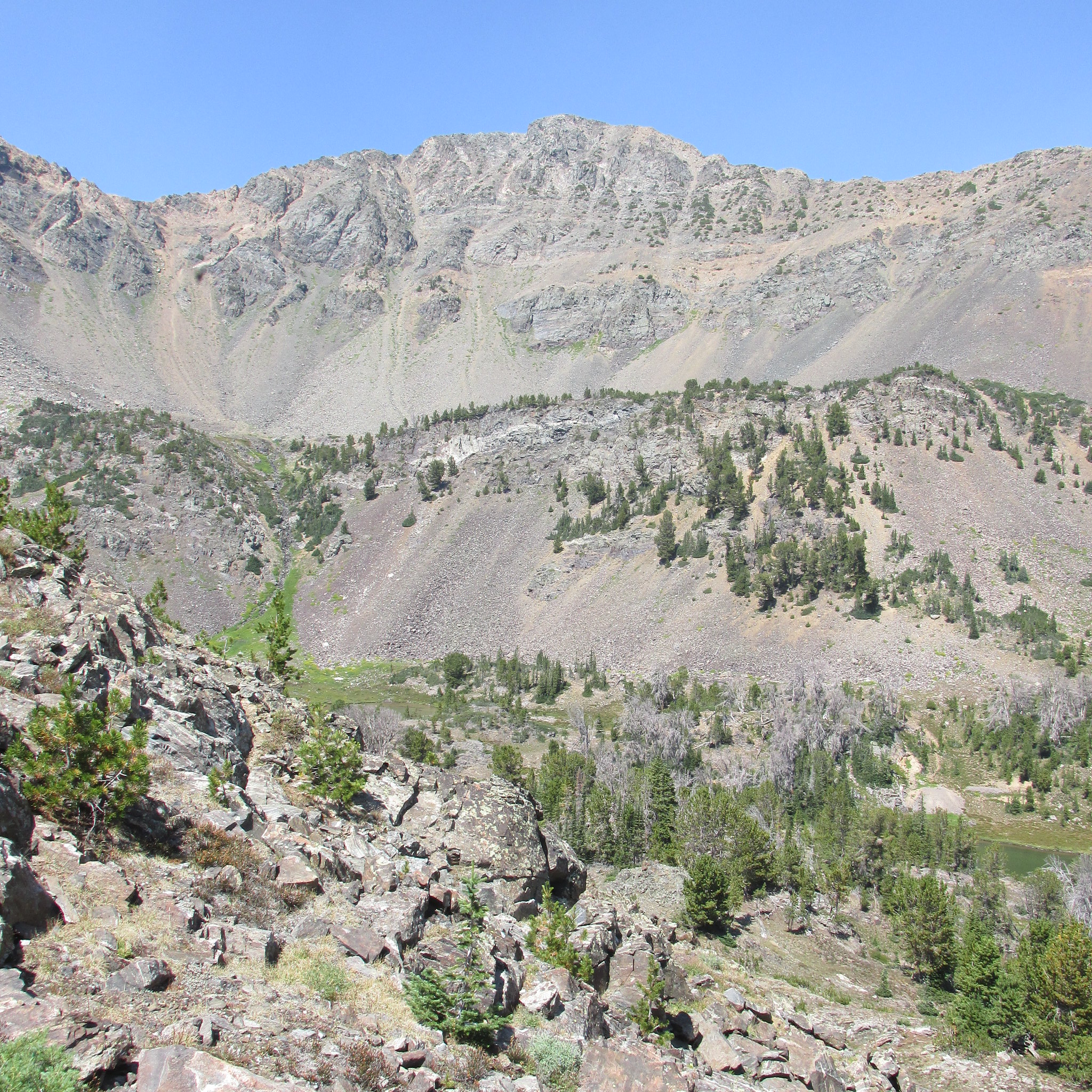
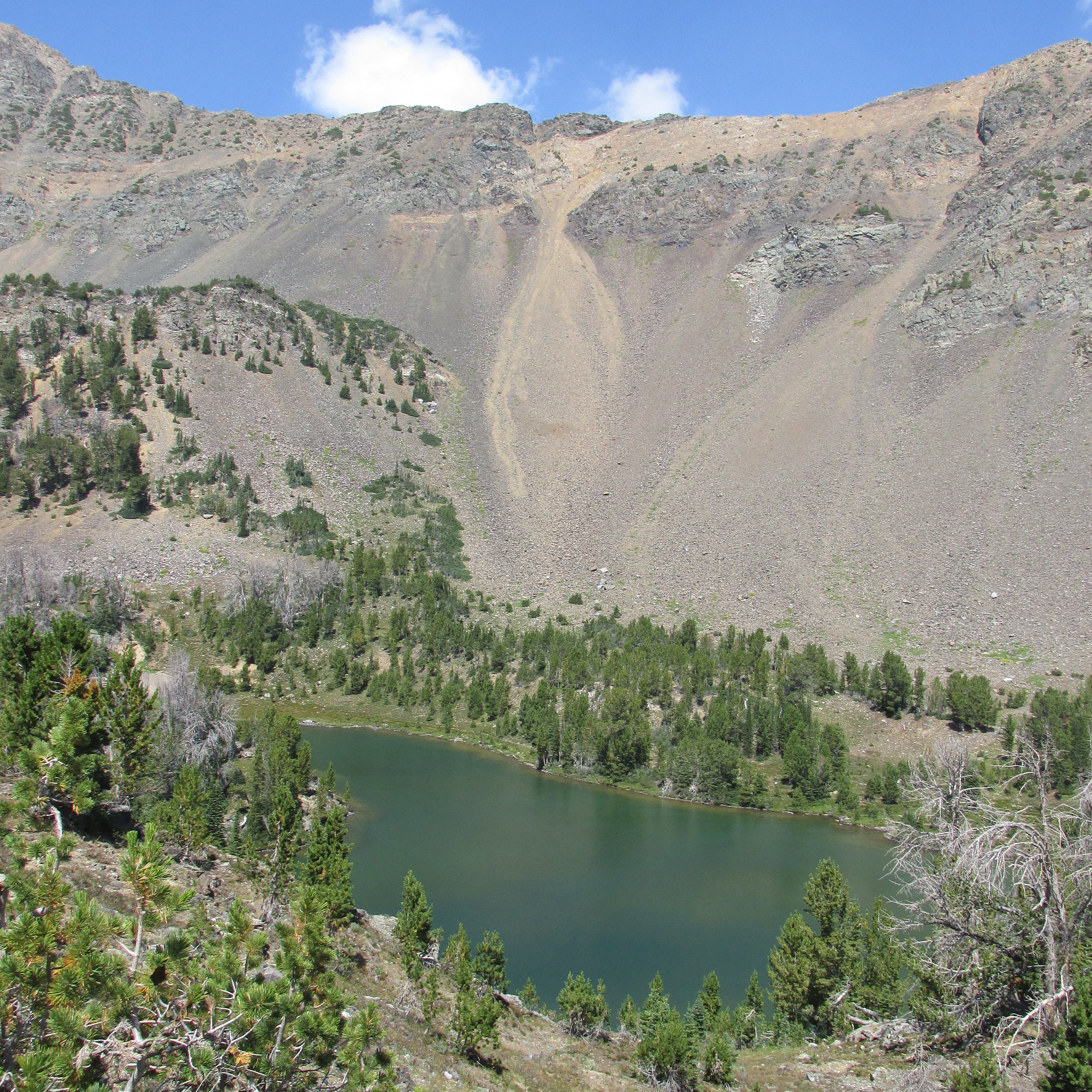
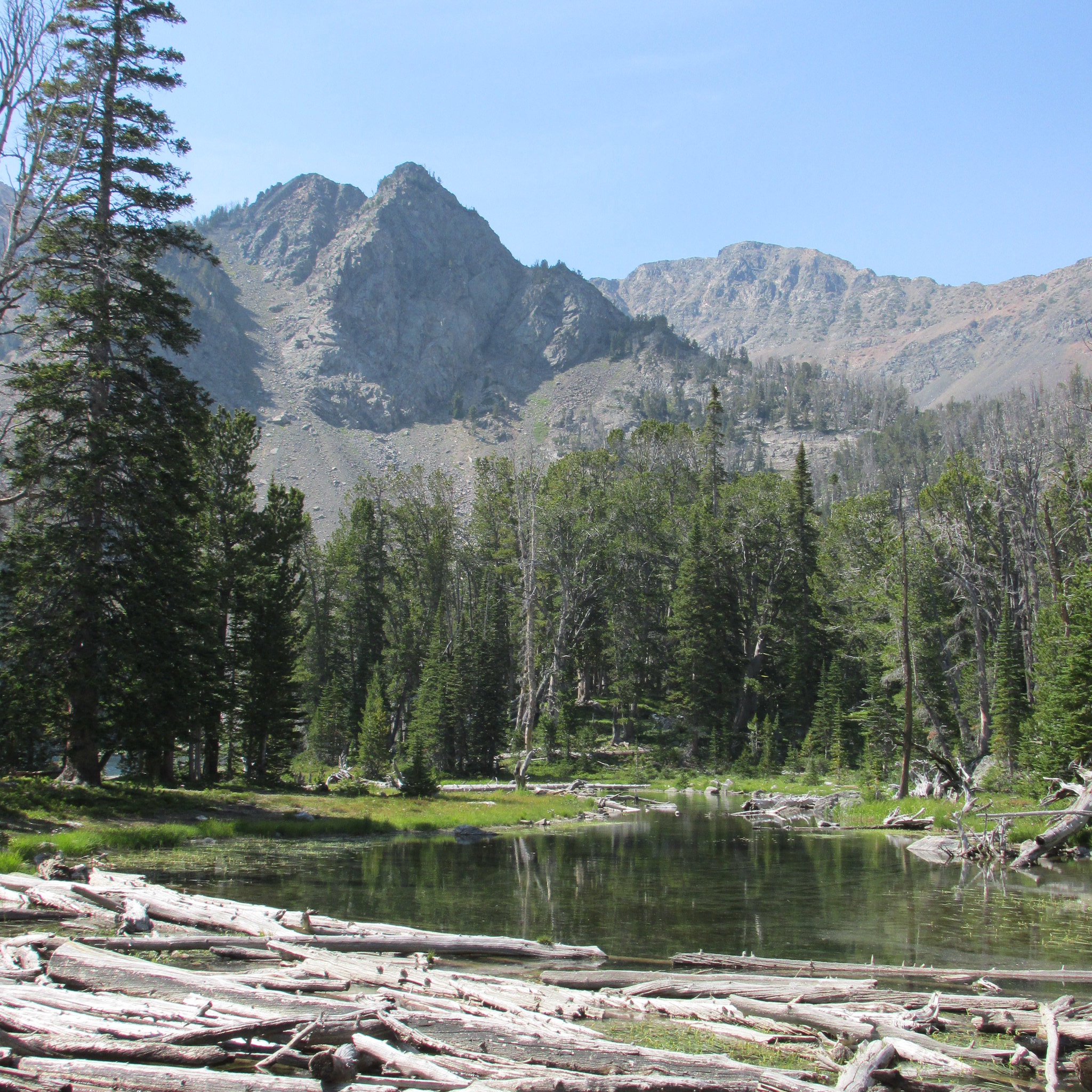
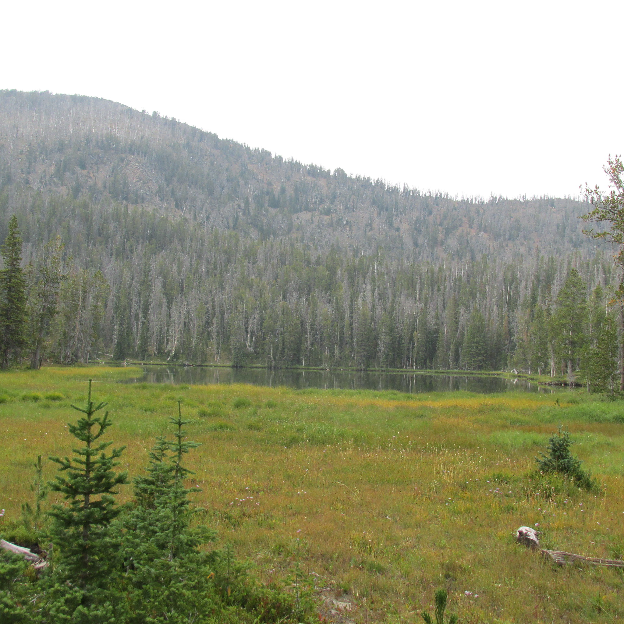
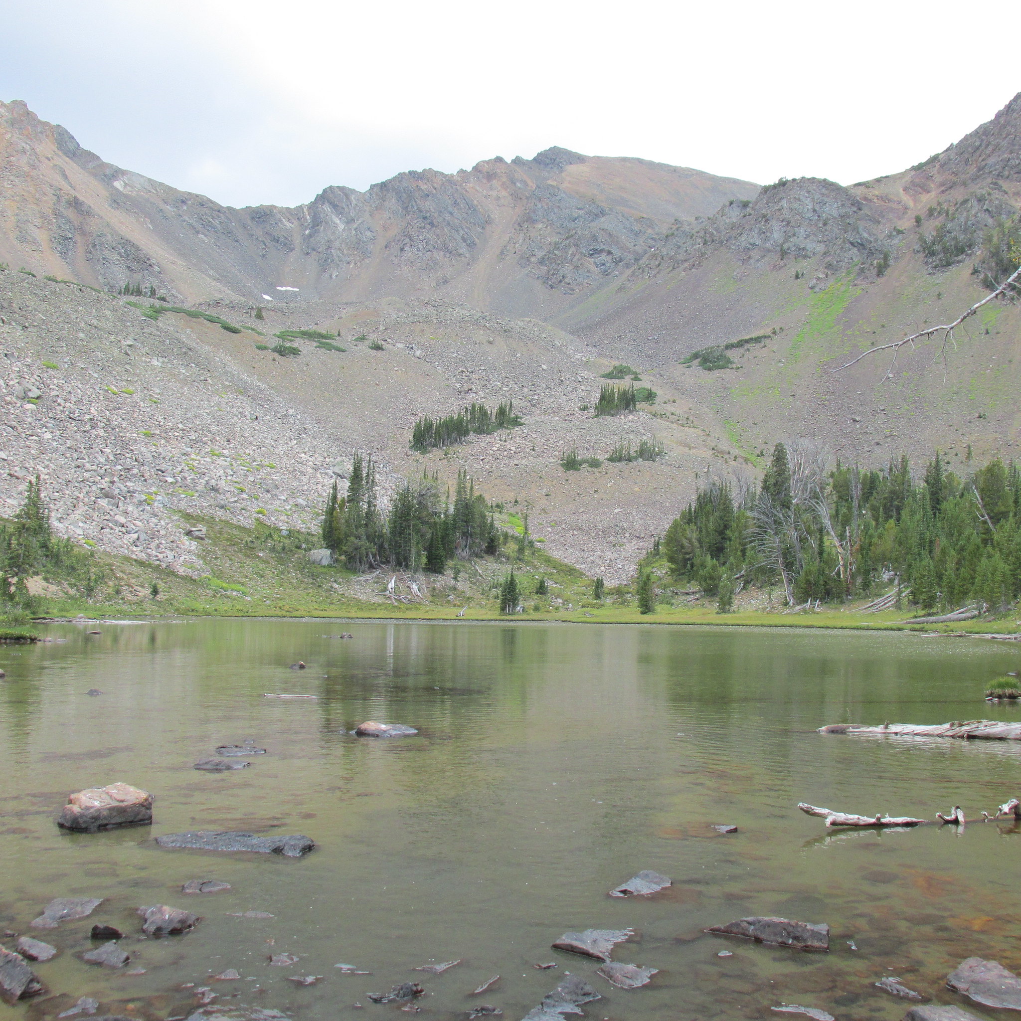
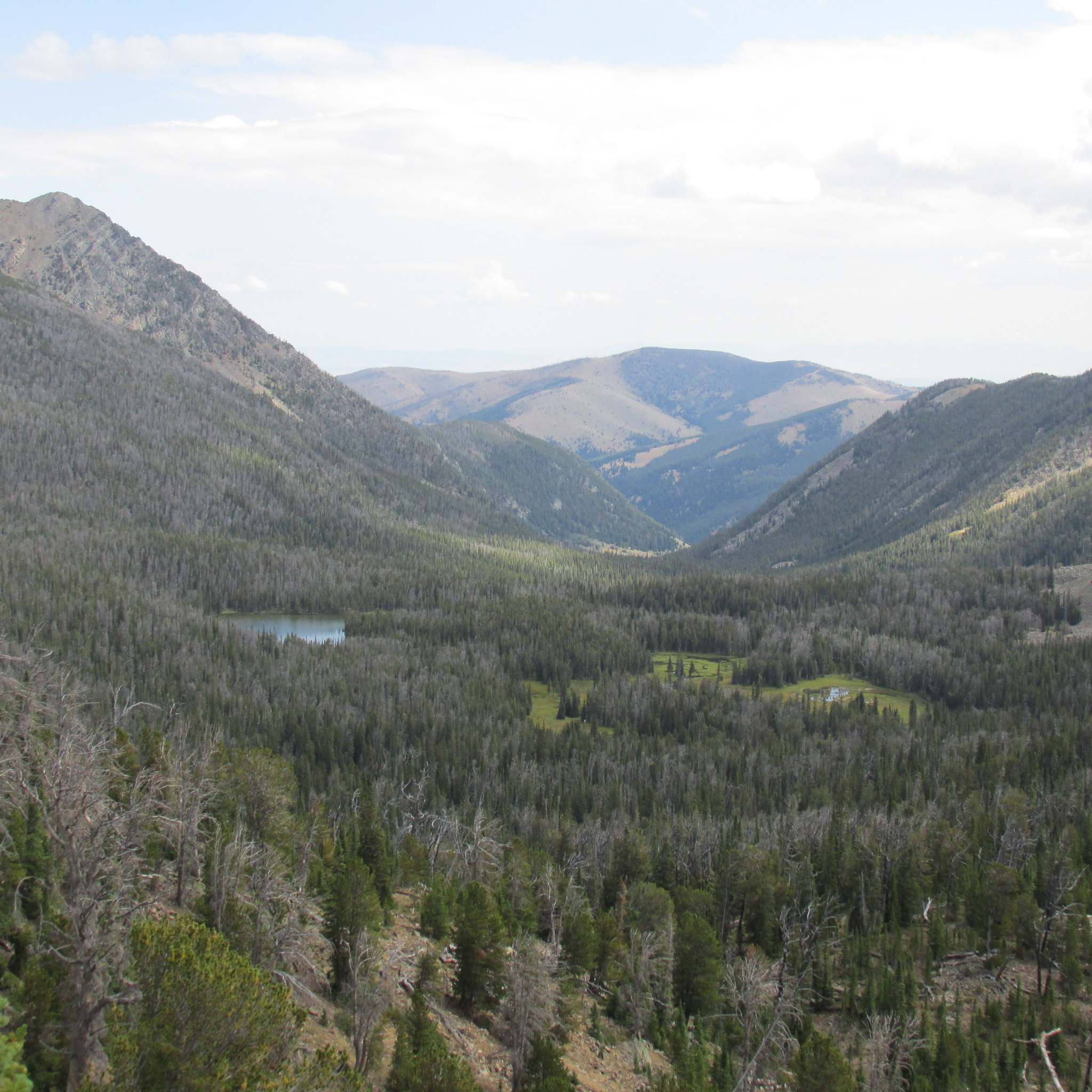
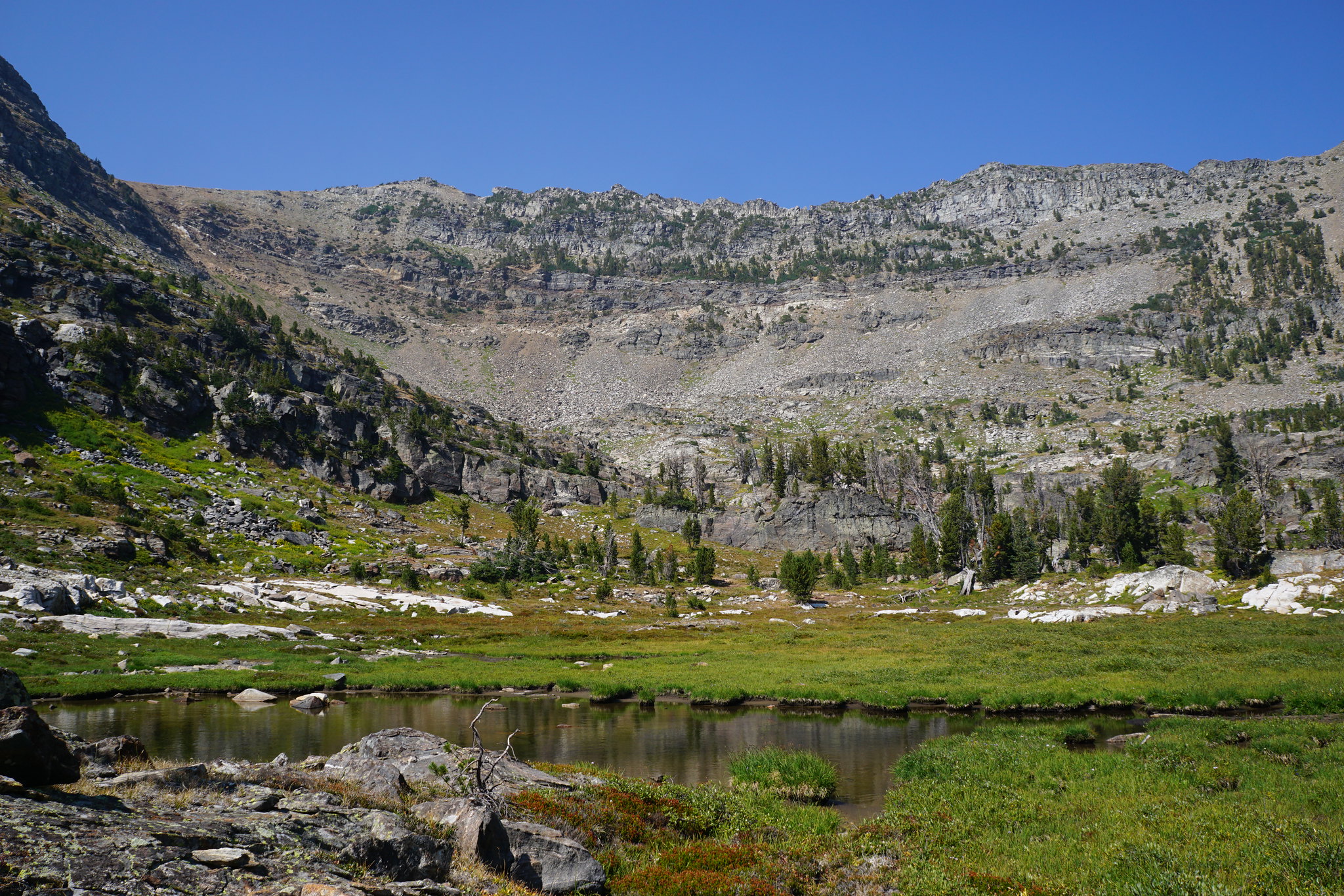
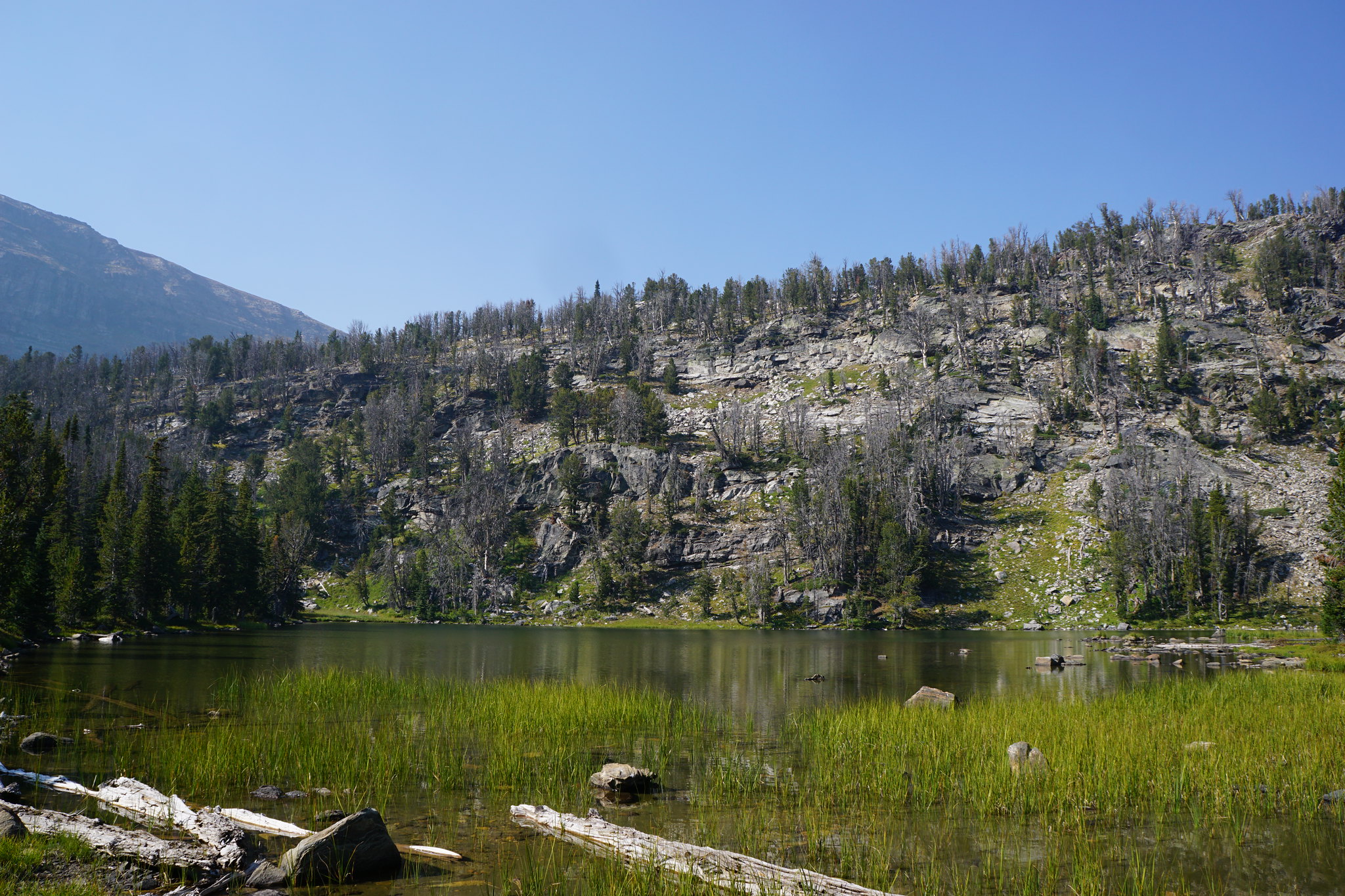
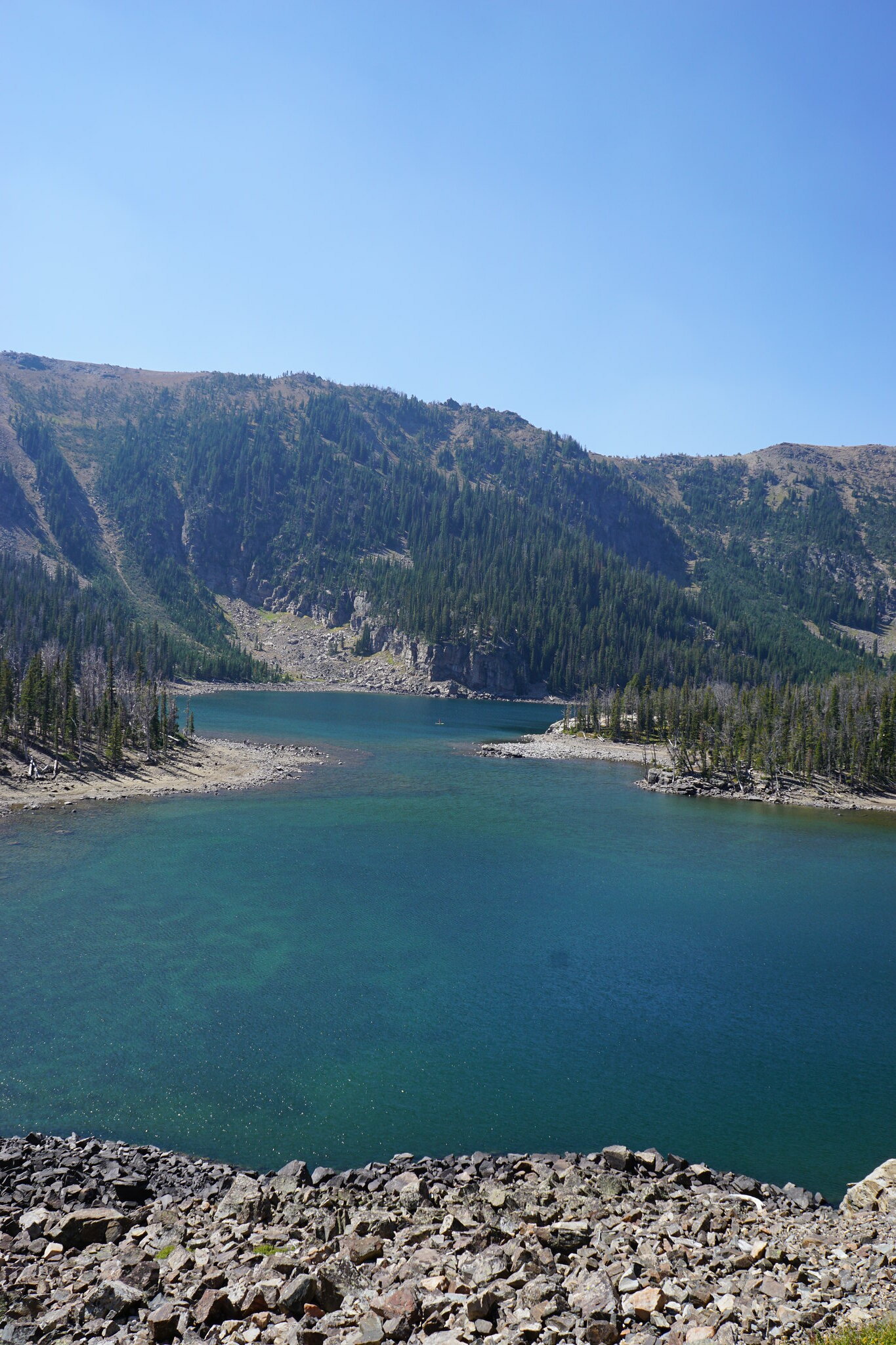
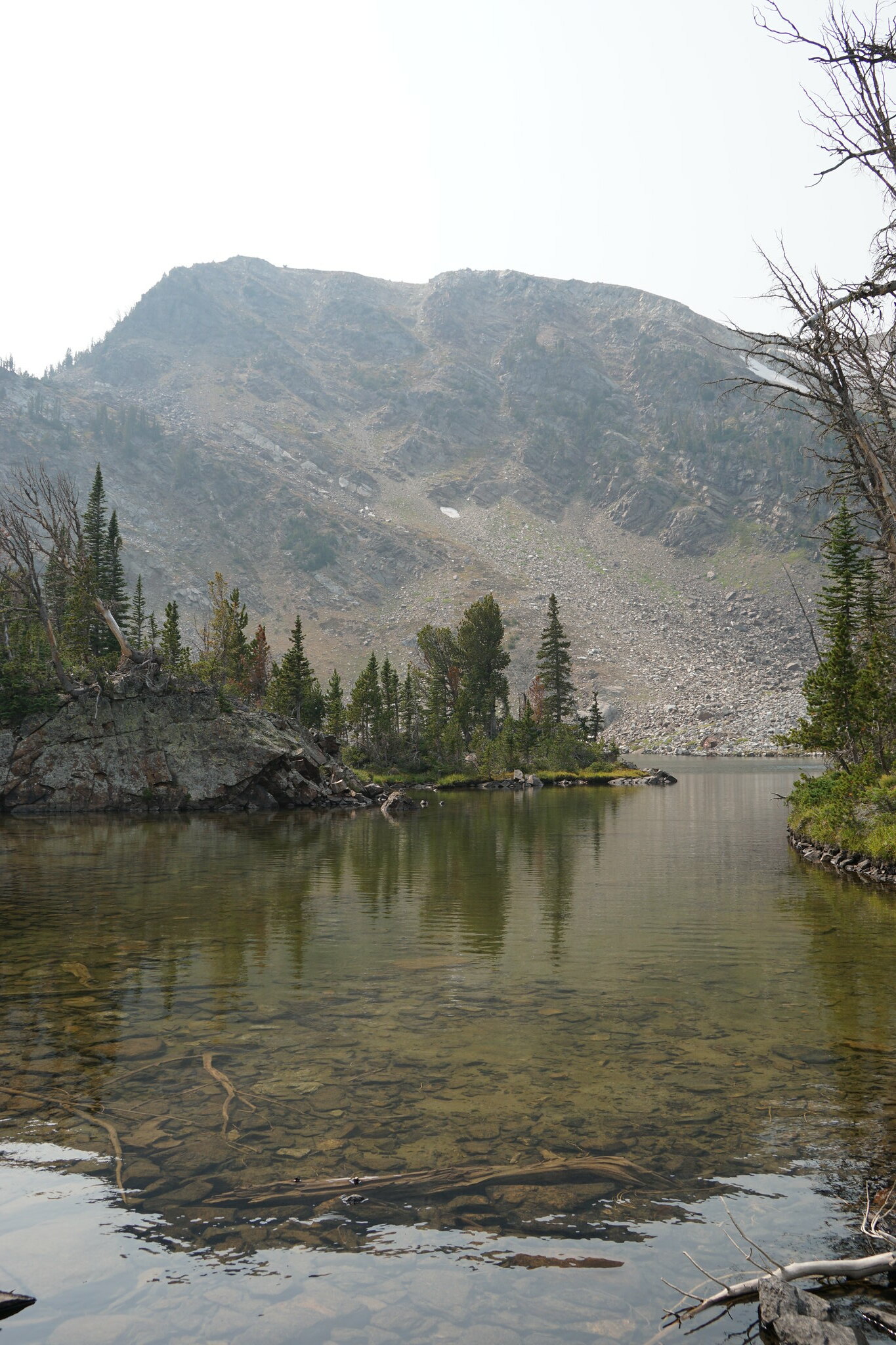
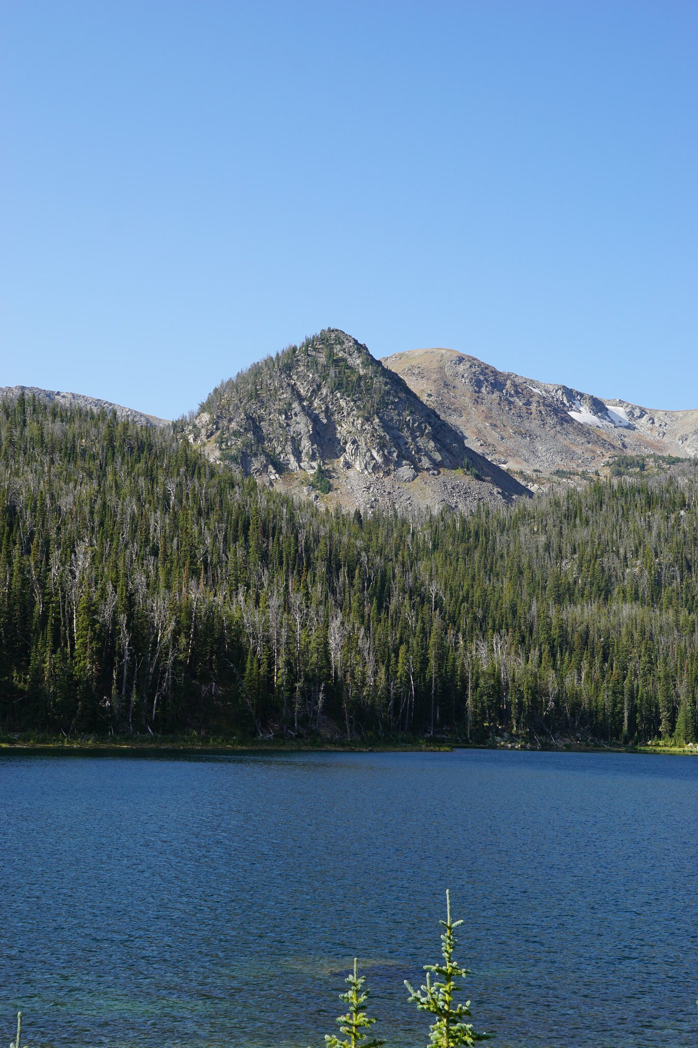
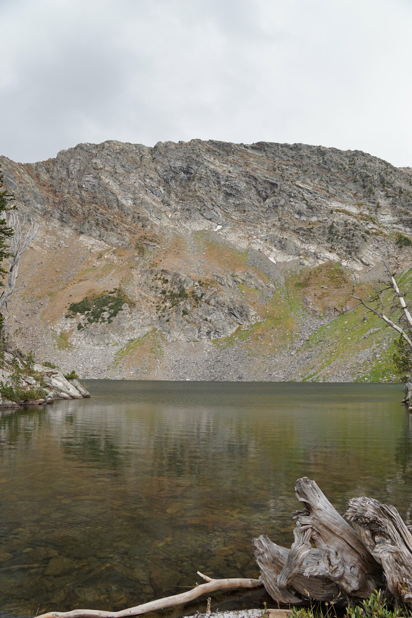
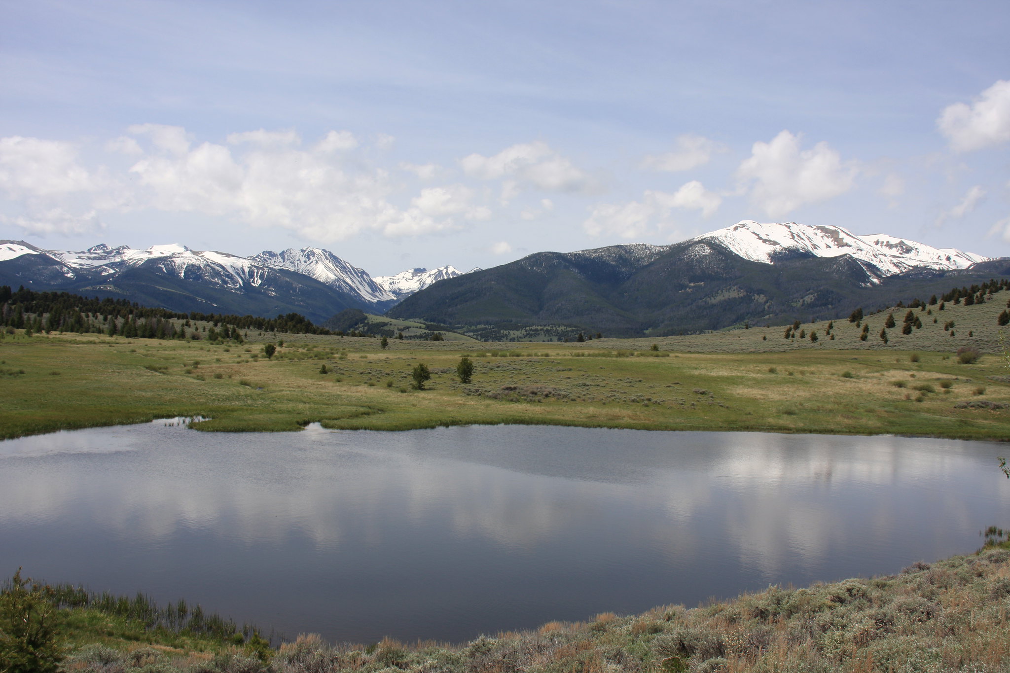
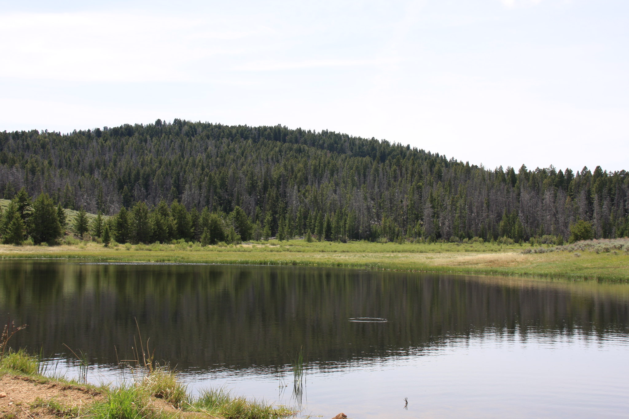
Camp Creek Reservoir with Branham Peaks (left) and Potosi Peak for a backdrop.
34358442443_cf30e74fc7_k.jpg


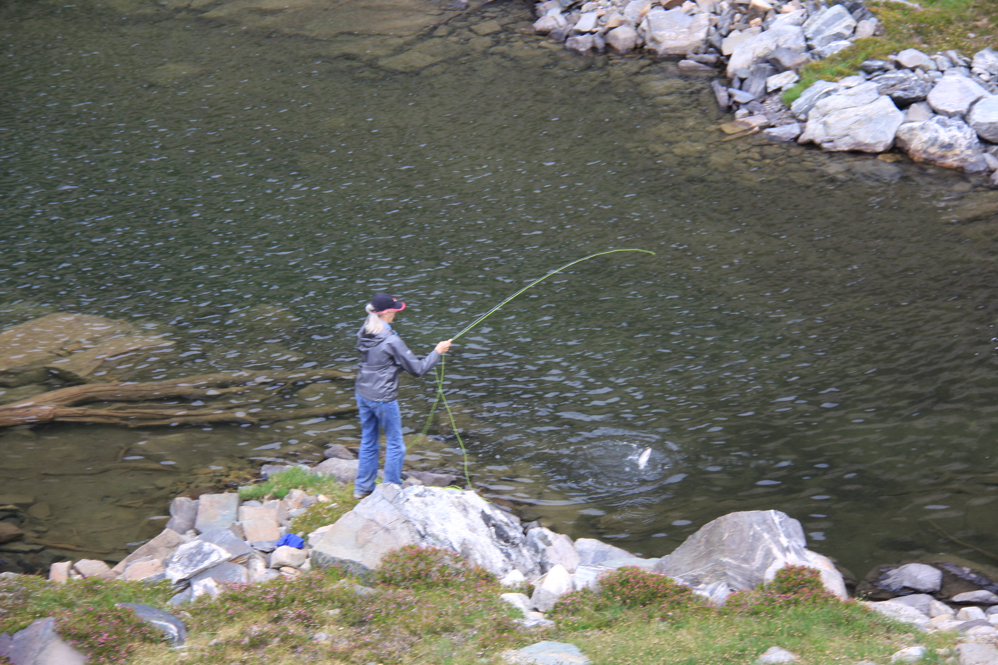
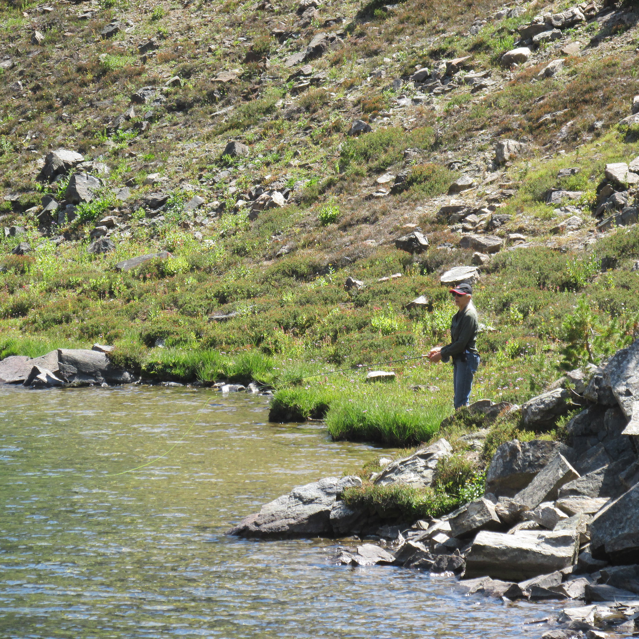
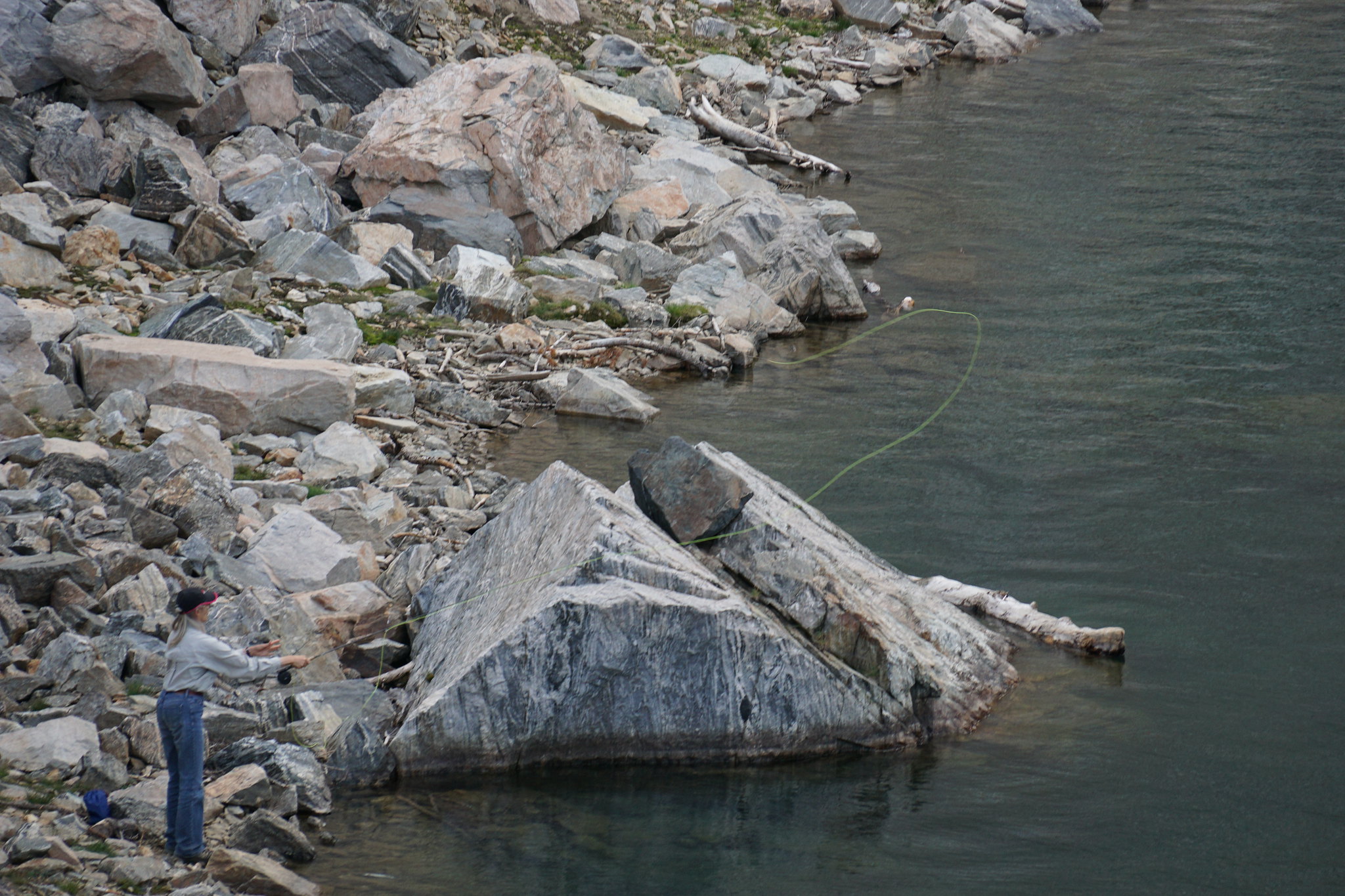
We were a bit surprised by the presence of fish (brookies?).
34781616760_a4e4d5b8ab_k.jpg


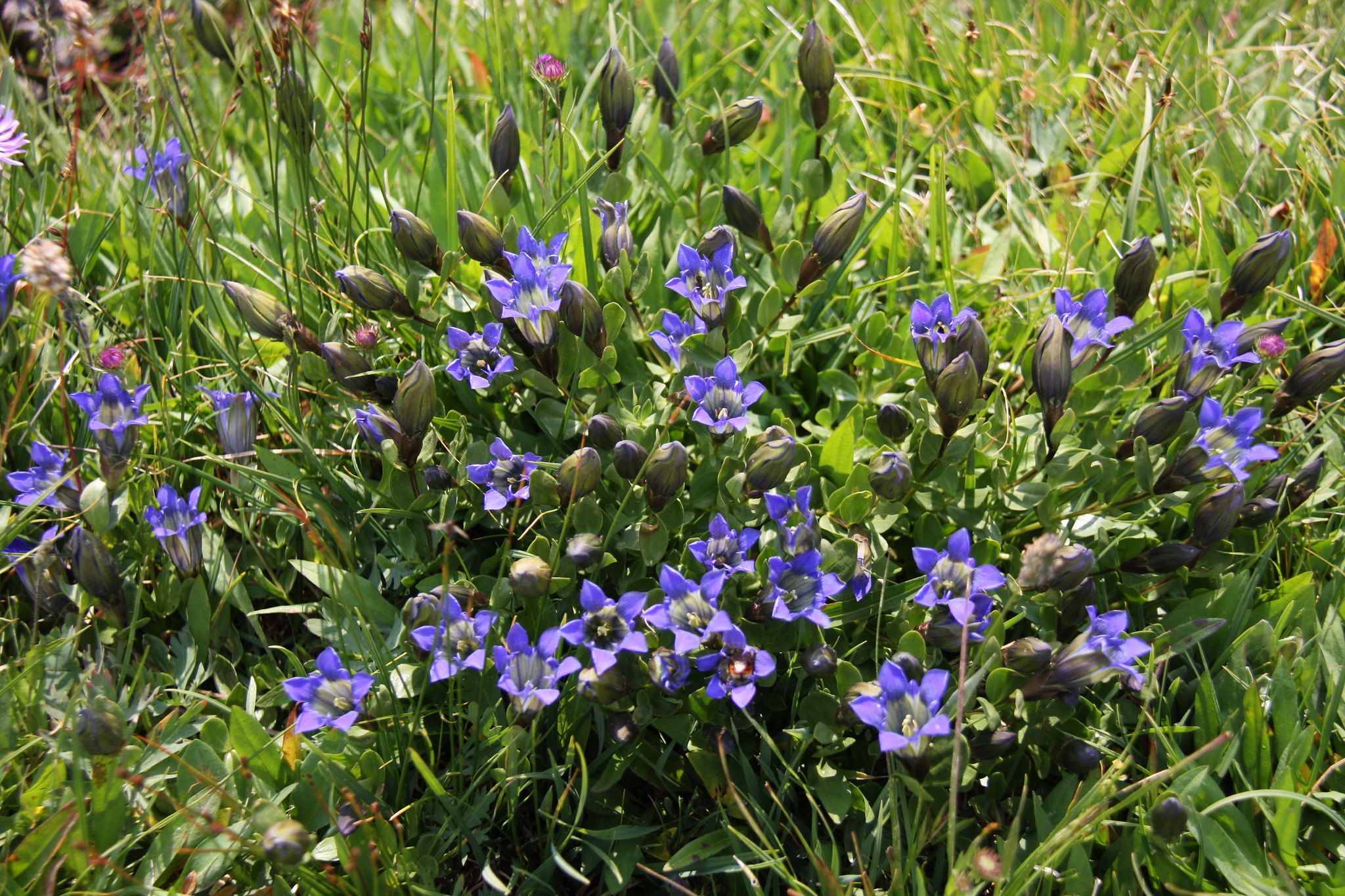
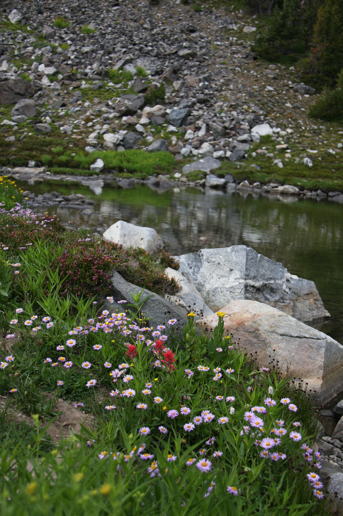
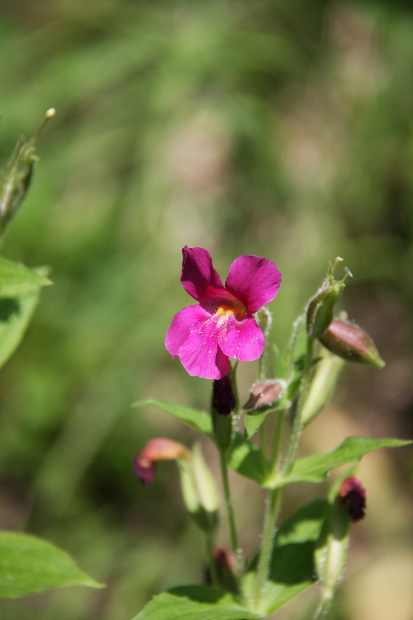
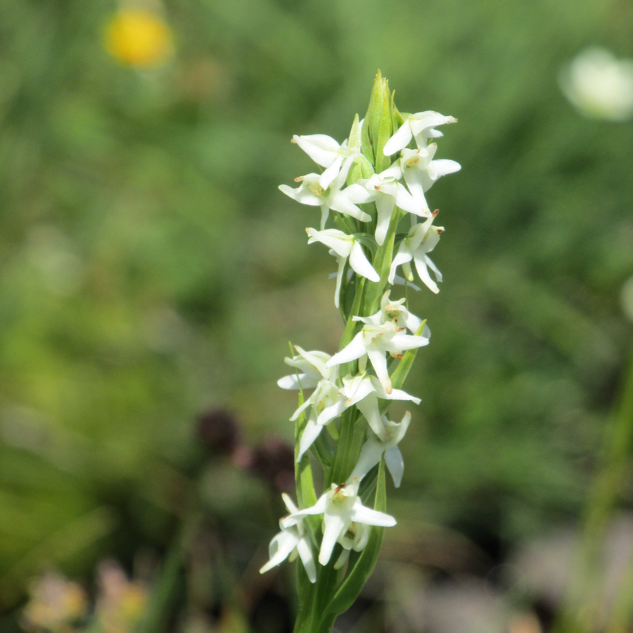
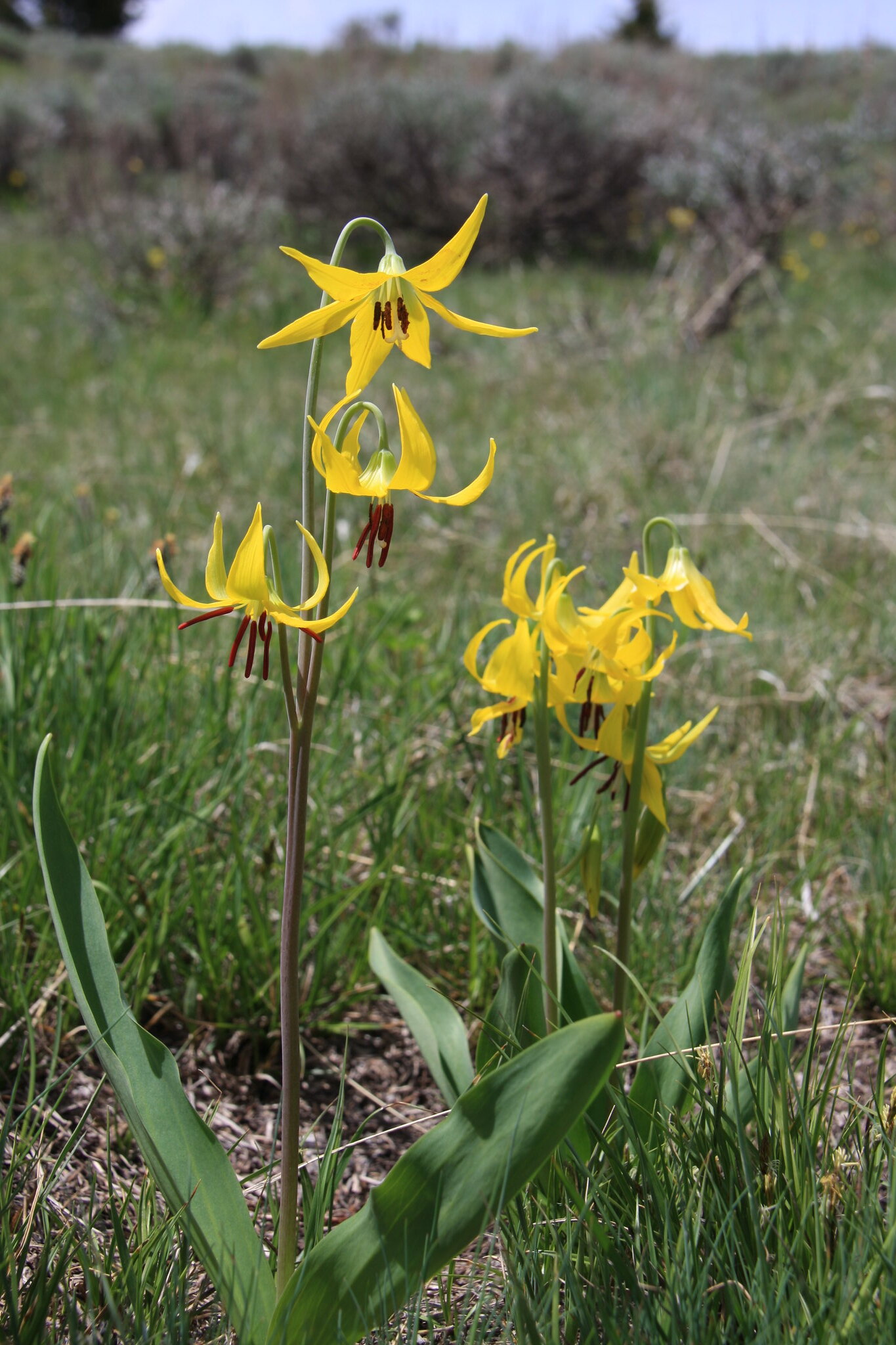
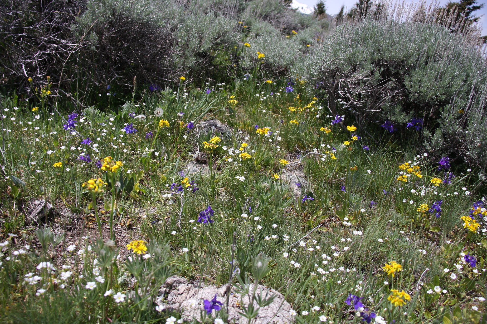
Flowers were hitting their stride.
35168144485_29bb329581_k.jpg


35037349331_2637410411_k.jpg


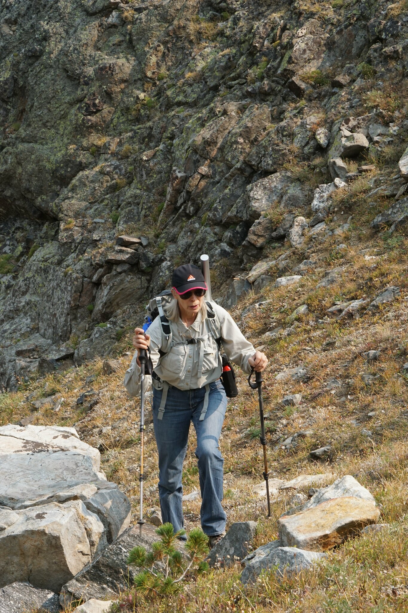
Required kid photo. But at 12.5 and 14 years old, the moniker hardly fits anymore.
35128060726_272c8e9f57_k.jpg


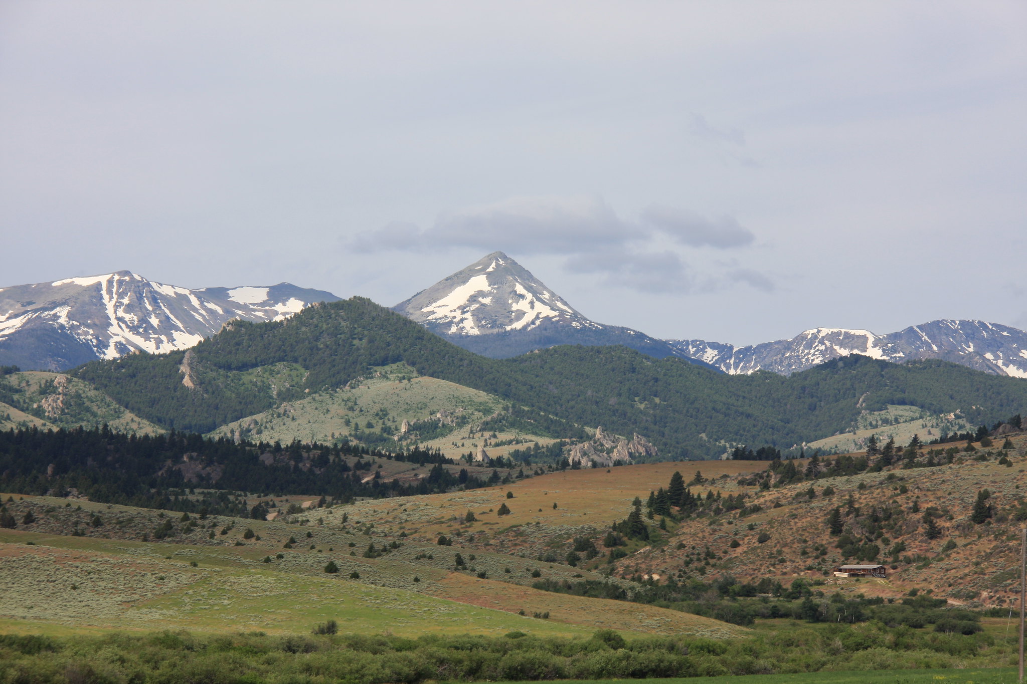
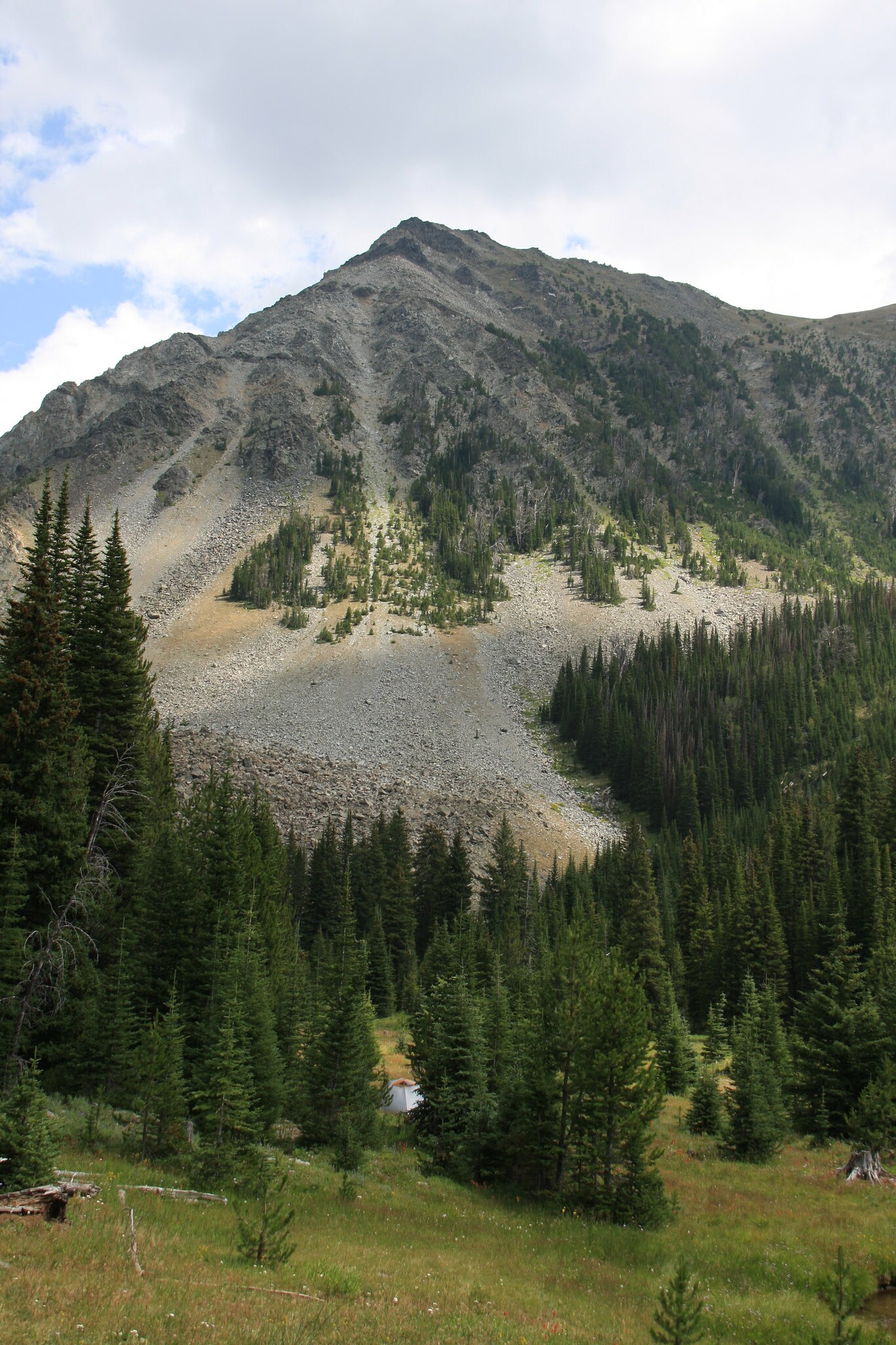
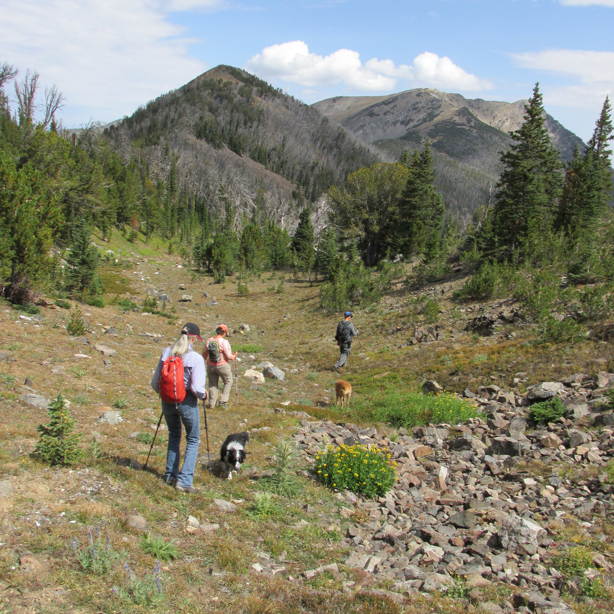
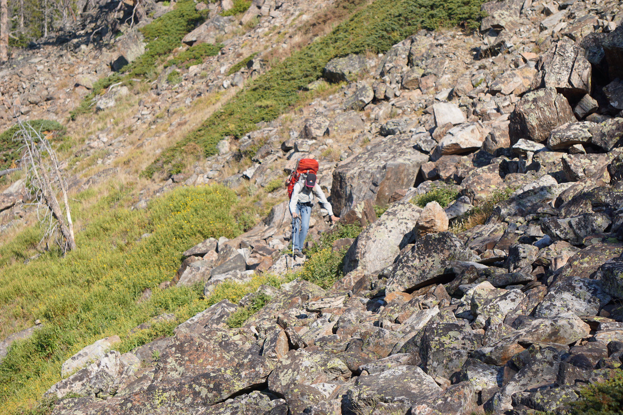
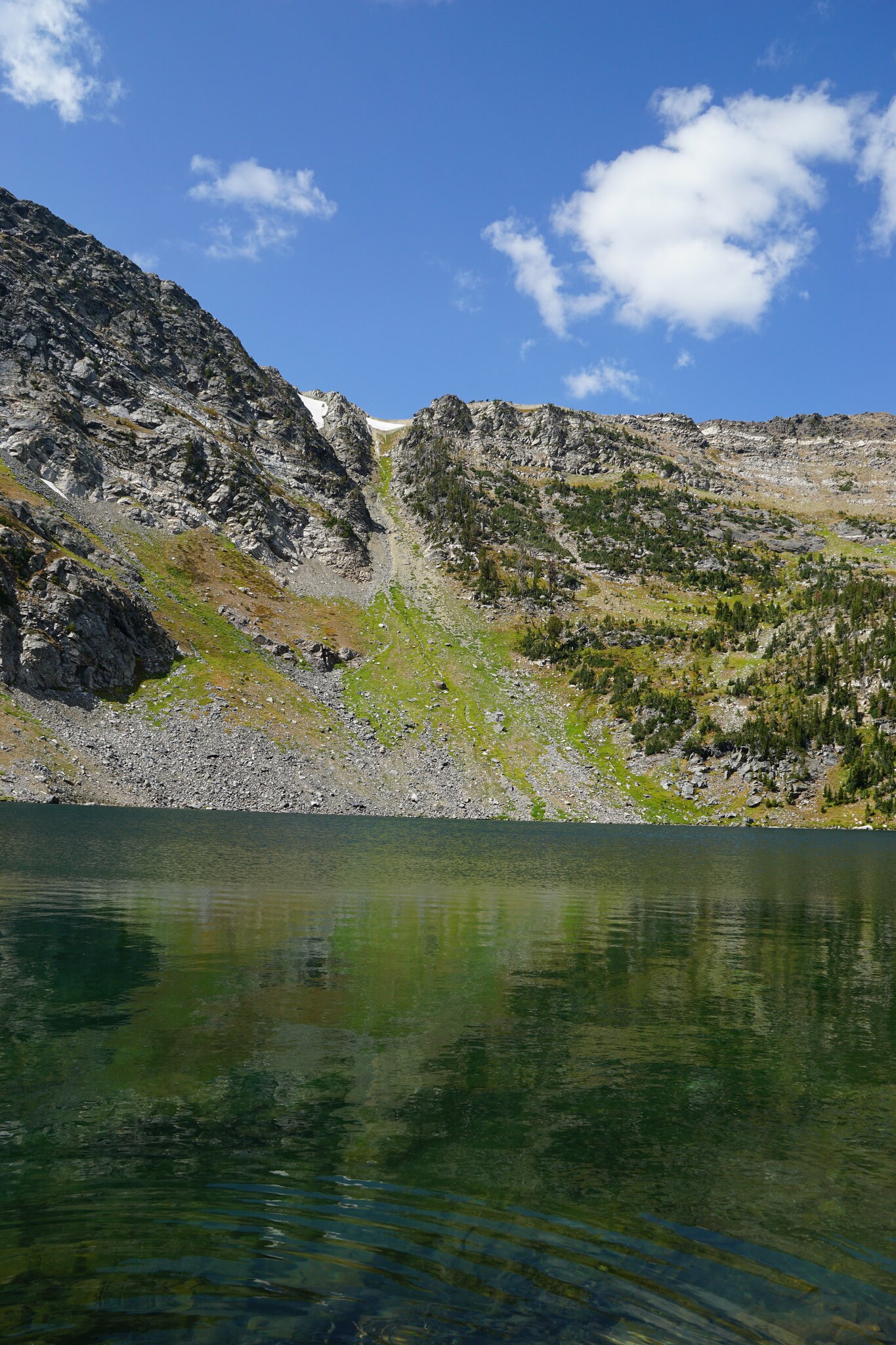
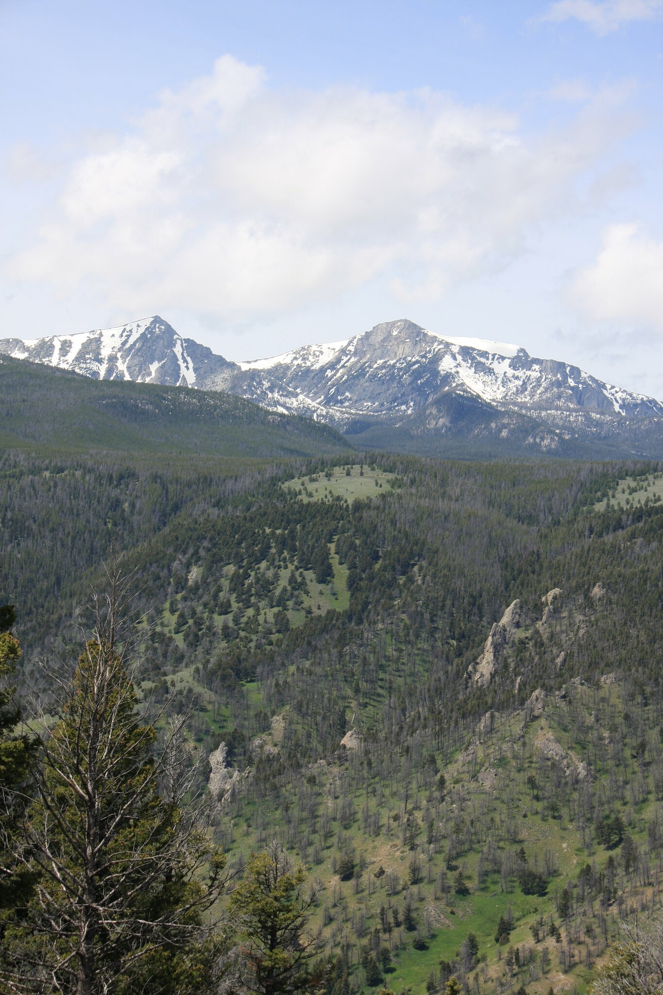
Heading back, we off-trailed it for a mile or so along the divide. Mount Jackson left, Hollowtop Mountain right. Hollowtop is the highest peak in the Roots at 10,604'.
35168111255_316dbd3c80_k.jpg


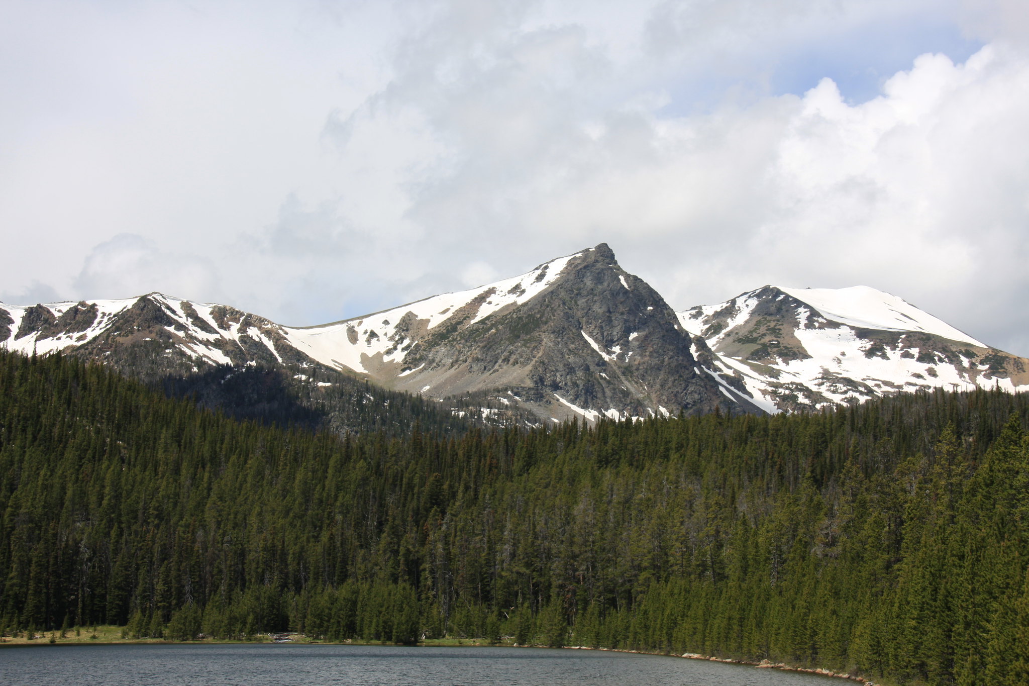
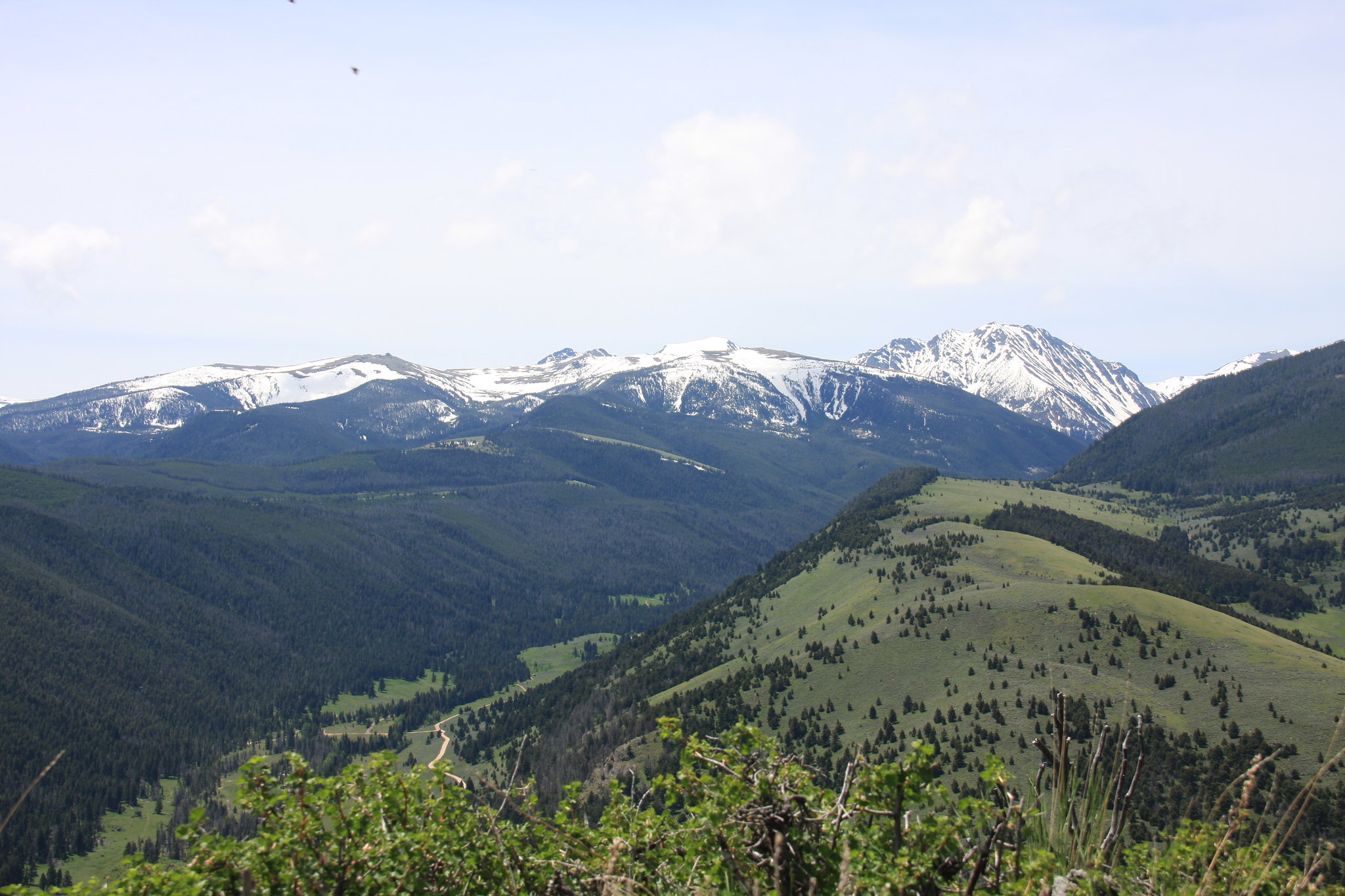
Taken near the above. The dark point in the middle is the tip of Lady of the Lake Peak, with a snowy wedge of mount Bradly to it's right. Far right, Branham Peaks.
34781593980_e5f70f65cc_k.jpg


Weather was perfect, nice lunch at the reservoir, at a cost of about 10 gallons of gas 2 hours of driving and about 5 hours hiking. A well spent day.
 
Next up was the annual July 4th trip to North Meadow Creek-a two night Jeep trip. We hit this one starting June 28th to beat the crowd but the weather wasn't too nice to us.
35312317110_0c00c25209_k.jpg


North Meadow Creek was just ripping.
35568714921_3adbe08430_k.jpg


Friends 97 XJ. He just put a new set of BFG KO's on it.
35568701271_19f1848612_k.jpg


Upper Twin Lake and Lady of the Lake Peak.
35312277790_eddf9542d0_k.jpg


And how we spent most of Thursday-hidding from the hail/snow in the Jeep or why you put a book in the pack-
35312270050_d38b411736_k.jpg


Cleared off in the evening. Upper Twin again.
35530491142_d692a345fc_k.jpg


Camp.
35530469602_965091a923_k.jpg


Friday morning.
35530565062_77c3719535_k.jpg


35530548092_c2abcd053d_k.jpg


Yep, froze pretty hard.
35530538752_6223bee028_k.jpg


And a parting shot of some of the meadow in North Meadow.
35699406205_d8303c0765_k.jpg
 
July turned out to be a busy month and we managed to escape only once, to the Magruder Corridor and that will be posted in off-road. The second weekend of August found us returning to Wisconsin Creek.

The first day we drove in (2 to 3 hour on Jeep trail) and set up camp in our favorite spot in the meadow below Sunrise Peak.
26270853599_7b3c35f05b_k.jpg


Following that we hiked over to Crystal Lake.
24194631628_d7ecb00fc3_k.jpg


Lakeshore/Gladstone Mine remains at Crystal Lake.
37337857634_fcc5fc8968_k.jpg


Then we headed back to camp. Wisconsin Creek near camp.
26270769519_854ca1a3ac_k.jpg


The next morning we hiked to Sunrise and Twin Lakes.
Sunrise Lake.
24195032638_ad10dc3d14_k.jpg


Mount Jackson.
37993762746_ae2f37e52f_k.jpg


37993701056_31defac48a_k.jpg


24194889528_113c525054_k.jpg


37993609036_ef8efd55dc_k.jpg


And hence to Lower Twin Lake arriving about the same time as the afternoon boomers.
38047292101_2820e912ea_k.jpg


37338029974_861cda06ef_k.jpg


38016088512_eef4132494_k.jpg


The last day arrived pretty chilly.
38016041142_0bf8e23298_k.jpg


We packed up camp and then headed to Jackson Lake that we bypassed the day before.
38016018992_a8ebe44c79_k.jpg


My wife spent a couple hours fishing and then we headed home.
24194722818_a5b622b143_k.jpg
 
The following week end, it was a day hike to Brannan Lakes on the South Boulder River. All the photos from this trip were from the Canon point and shoot as I found out the SD card for the real camera was still at home in the PC----
36652451415_b138278ec1_k.jpg


Sailor Lake.
35843120933_0dd531db0a_k.jpg


2nd or 3rd highest peak in the Roots and no name.
35843092223_fa48c79d75_k.jpg


Upper Brannan Lake.
36652374405_ae7da7b1e4_k.jpg


36256068500_79f9c5faf0_k.jpg


36652355965_bd5d0e2991_k.jpg


Mount Jackson.
36483340862_69461b3067_k.jpg


Outlet of Lower Brannan Lake.
36605985276_22460341f5_k.jpg


36514080841_fc1d9fb400_k.jpg


35817516224_f03207f016_k.jpg


Outlet of Sailor.
36514064971_18cc647afc_k.jpg


Another well spent day.
 
The next trip was the 2 nighter backpack trip to Curly and Beall Lakes. There isn't much of an access issue but low range most definitely needed to get to the Curly Lake trailhead.

At the trailhead.
36822129645_e3853edcc1_k.jpg


35987576874_1945a1e0d8_k.jpg


Curly Creek.
36012707483_bd8fbafafc_k.jpg


Curly Lake.
35987494204_7ab50990ab_k.jpg


Upper Curly Creek bowl.
36651260952_b714f2873f_k.jpg


Camp.
35987915534_4f6377740d_k.jpg


Beall Lake.
36013114613_157ce2fdfd_k.jpg


Puddle at the top of the west fork of Curly Creek. There actually is an abandoned FS trail all the way to this "lake". A lot of dead fall on it but blazes are clearly in evidence.
35987829934_2f1598a8d6_k.jpg


Hiking down to the above puddle.
36425671960_5f73be8719_k.jpg


Another puddle near camp.
36425841490_3902146aae_k.jpg


Early morning shot of wet meadow below camp-and yes, the elk were talking to us both nights.
36651798382_9007b757f6_k.jpg


Curly Lake/Curly Creek drainage.
35987860564_c676b248b1_k.jpg


36425690020_120321bb36_k.jpg


A very intense light and boom show rolled over us the last night and probably dropped close to an inch of percip. But it also started the Conrow fire a few miles north of Cardwell, MT. We were a little concerned that the storm would light up something closer to where we were but thankfully, that didn't happen. But there was a spotter plane doing recon the next morning.

36651814062_b1acd0e971_k.jpg
 
The first 3 days of September found us at South Meadow Creek Lake. The first day we drove in and packed around the lake to set up camp, and then headed to the large cirque above South Meadow Creek Lake hoping to see a few goats. Alas, they didn't make an appearance but there was more than ample recent evidence of elk, moose, and bears.

Some of the puddles above the Lake:
36980194546_7977e40535_k.jpg


36355495863_6b8fa2287a_k.jpg


37027557101_d348acaea9_k.jpg


Yep, still snow in September even after a very warm, dry summer.
36333061594_aa1e32d794_k.jpg


36333021164_01b1787eac_k.jpg


36771905490_6266a69890_k.jpg


The second day we bushwhacked our way down to another puddle a couple 100 feet lower than South Meadow. For sure another moose heaven.
36333251694_dbdc47e085_k.jpg


South Meadow Lake proper.
37169794935_ff8a94e6c8_k.jpg


Camp.
36333220234_fc8f6e91d8_k.jpg


Hiking back to the Jeep.
36998423472_a7c991ffdf_k.jpg
 
The following week, it was a return to North Meadow under better weather than the previous trip. North Meadow is absolutely the most fun Jeep trail in the "Roots" and rare is the occasion when I don't end up using the armor on the bottom of the JK.

Our friends XJ.
36772330800_3cfd3a19ee_k.jpg

I think he came pretty close to wheels up on one place during our exit. Definitely pucker time.

Still plenty of smoke the first day. Upper Twin Lake and Lady of the Lake Peak.
37028231151_26661a4d5f_k.jpg


Day 2 day hike to Lady of the Lake. Bottom of Bradley Meadows and Lady of the Lake Peak.
36998804372_25338aecc0_k.jpg


36998730612_4226ea4fb0_k.jpg


We chased a young bull moose out when we arrived at the lake. He didn't have anywhere else to go except swim as we were blocking his only exit with boulder fields preventing him from heading the rest of the way around the lake.
37170213335_3c76e73304_k.jpg


One of the inlet streams and where the moose had been residing.
36355996423_f65a4d3901_k.jpg


Pika.
36998614572_20b7e332bf_k.jpg


Lady of the Lake. The fishing was pretty much one cutthroat per cast. My wife really enjoyed it.
36355841523_c56e328461_k.jpg


The third day we hiked to McKelvey and Cliff Lakes. Again, great fishing.
Upper Twin with no smoke. Yea!
37170667215_5ca8e4bc54_k.jpg


McKelvey.
36981174436_c1fad5503d_k.jpg


And a few of Cliff Lake.
36772903120_2f3beb0d87_k.jpg


36333930554_c1dc935368_k.jpg


36980959566_80203f6934_k.jpg


36999052832_e244764a72_k.jpg


A few days after that trip, summer came to a very abrupt end on September 16th and although we kept the packs ready for a couple of weeks, the snow never did depart the high country.
24472246647_2790bf254c_k.jpg
 
I wish I could like this a few more times. Excellent photo essay, John. Certainly makes me miss the Tobacco Roots
 
Great stuff, John. After a very busy summer where I only made it into the T-Roots once, I really enjoyed viewing it through your eyes.
 
Now Love this trip report with all the photos. Thanks a Bunch!!! This is one place that I have wanted to get to but haven't is the Tobacco Roots!
 
Similar threads
Thread starter Title Forum Replies Date
John Goering Boulder Lakes, Tobacco Root Mountains Off Road 0
John Goering Tobacco Root Mountains South Meadow Creek Off Road 1
John Goering Albro Lake, Tobacco root Mountains Off Road 1
John Goering Tobacco Root Mountains day hikes Hiking & Camping 3
John Goering Year's initial foray to the Tobacco Root Mountains Hiking & Camping 3
John Goering Tobacco Root Mountains South Willow Creek-Camp Creek Reservoir day hike Hiking & Camping 2
John Goering Tobacco Root Mountains Wisconsin Creek day hike Hiking & Camping 1
John Goering Tobacco Root Mountains, South Willow Creek-Granite Lake Hiking & Camping 0
John Goering Tobacco Root Mountains, Indian Creek day hike Hiking & Camping 1
John Goering Tobacco Root Mountains, annual 4th trip to North Meadow Creek Hiking & Camping 4
John Goering Tobacco Root Mountains, Rock Creek Lake-Hells Hole Hiking & Camping 2
John Goering Tobacco Root Mountains-Leggat Creek, Upper Mill Creek Hiking & Camping 1
John Goering South Boulder River (Tobacco Root Mountains) day hikes. Hiking & Camping 8
John Goering Tobacco Root Mountains, Wisconsin Creek, Mud and Sunrise Lakes Hiking & Camping 1
John Goering Tobacco Root Mountains, South Fork Indian Creek-Thompson Reservoir Backpacking 1
John Goering Tobacco Root Mountains, Lady of the Lake/North Meadow Creek Backpacking 4
John Goering Tobacco Root Mountains, North Willow Creek Backpacking 3
John Goering Tobacco Root Mountains North Meadow Creek 2015 Hiking & Camping 5
John Goering North Fork Indian Creek, Tobacco Root Mountains, Montana Backpacking 4
John Goering Tobacco Root Mountains, South Willow Creek Hiking & Camping 1
John Goering Quartz Creek/Johnson Creek, Tobacco Root Mountains Backpacking 3
John Goering Tobacco Root Mountains, Indian Creek Backpacking 6
John Goering Tobacco Root Mountains, Mason Lakes Hiking & Camping 3
John Goering Tobacco Root Mountains, the other side of North Meadow Creek Hiking & Camping 6
John Goering Tobacco Root Mountains, Mill Creek Backpacking 4
John Goering Tobacco root Mountains, Wisconsin Creek Hiking & Camping 2
John Goering Tobacco Root Mountains Noble Fork Backpacking 0
John Goering Tobacco Root Mountains Sailor, Globe, Brannan Lakes Backpacking 7
John Goering Tobacco Root Mountains Curly Lake Backpacking 3
John Goering Tobacco Root Mountains Lost Cabin Lake Backpacking 0
John Goering Tobacco Root Mountains, South Meadow Creek Hiking & Camping 5
John Goering Tobacco Root Mountains Louise Lake trip Backpacking 6
John Goering Tobacco Root recon run Off Road 7
John Goering Tobacco Root Willys trip Off Road 0
John Goering Tobacco Root (North Meadow Creek) trip Backpacking 8
JimmyW Tobacco Roots - Brownback/Pole Canyon Trail Hiking & Camping 0
JimmyW Day trip to Rock Creek Lake - Tobacco Roots Hiking & Camping 2
BobFink Goschute Mountains, NV , Pisgah Peak, Hawk Watch Migration Site Everything Else 2
westy San Juan mountains, Colorado Hiking & Camping 8
M Backpacking 50 miles in the Uinta Mountains for 5 days with ~50 pound pack Backpacking 4
kansas good place to watch sunrise in the La Sal mountains Trip Planning 0
NorthwestWanderer First time in the High Uintas | Red Castle SNEAK Loop | I give these mountains 5 out of 5 stars Backpacking 7
westy Wallowa Mountains, Oregon Trip Planning 3
John Goering Pioneer Mountains, Montana <50" UTV trip Off Road 3
Kerrie at Thru We Go Packraft Trip in the Sierra Nevada Mountains Trip Reports 3
C Utah Mountains in Late May Trip Planning 12
S Mentasta Mountains, Wrangell St. Elias National Park and Preserve- family backpack Backpacking 1
Noun Sequitur Magdalena Mountains, Mesa Trail Loop Hiking & Camping 3
Mountain Wanderer Four Lakes Basin in the Southern Cabinet Mountains - Montana Backpacking 12
Artemus Wind River Mountains Conditions 2021 Trip Planning 17

Similar threads

Back
Top