steve
Member
- Joined
- Dec 11, 2013
- Messages
- 2,140
Tess and I were needing a quick getaway. We tried to hike this loop last week, but we didn't make it in time.
Since we didn't make it the week before, we wanted revenge, and we decided to make an overnighter of it.
Friday evening before we left, it started to rain. We were questioning if we still wanted to go, and with it being memorial day weekend we knew it was going to be crazy busy up the canyon. But then we realized that the rain would scare away quite a few of the fair-weather campers. If rain scared us, we'd never be able to enjoy the Uintas or the Winds. As long as trail conditions weren't sloppy, and as long as we weren't in danger of thunderstorms, we weren't going to be deterred by rain.
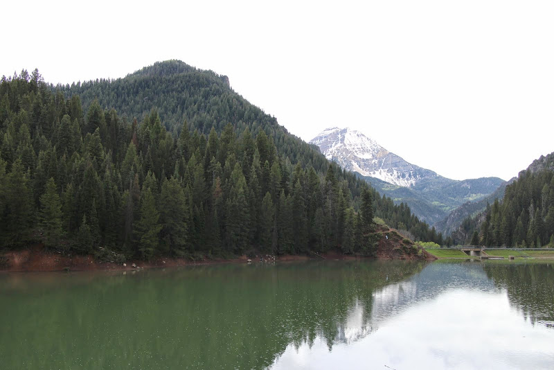
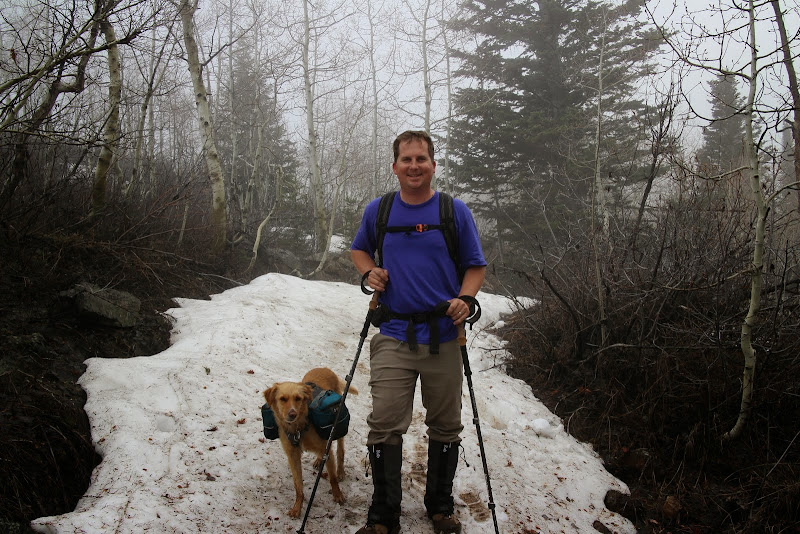
We packed up our packs and headed to Tibble Fork to park the car. It was lightly sprinkling, as you can see the ripples on the lake.
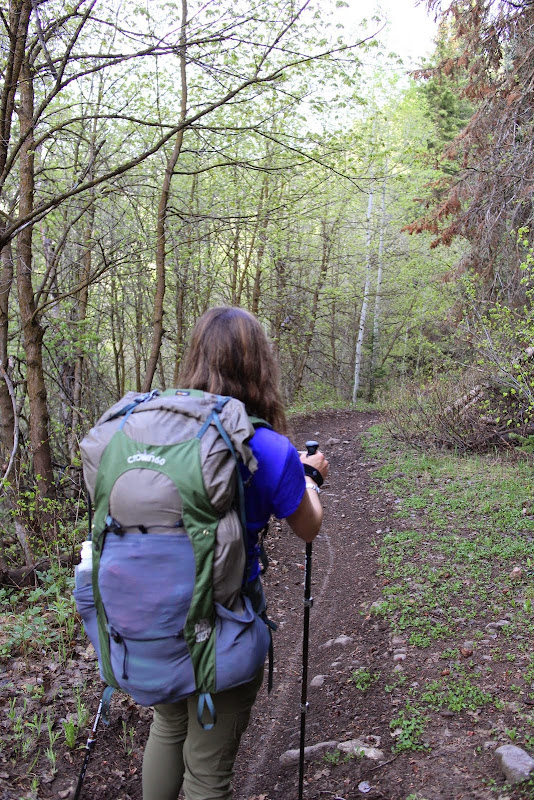
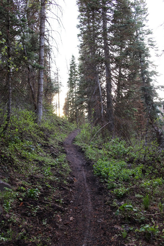
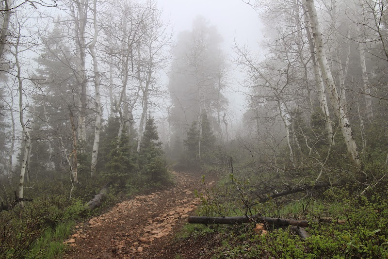
We hiked a short bit up the fire road and crossed the bridge to start trail 40. The Forest Service removed the yellow provisional sign they had up last week, so the trail is now open to horses, mountain bikes, and dirt bikes, in addition to hikers. The river was overflowing with runoff.

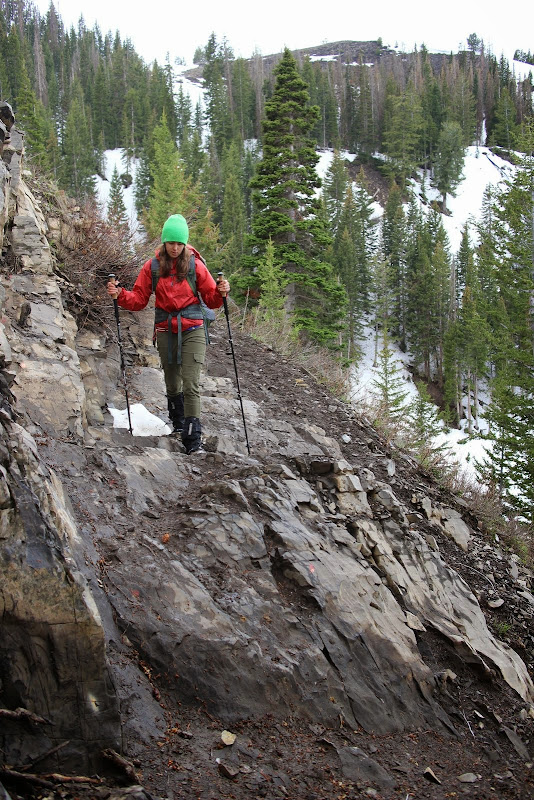
Rounding the corner and heading up the hill, the rain had completely stopped. The trail was lightly damp, but not muddy at all. It looked like one mountain biker had been up there before us that day.
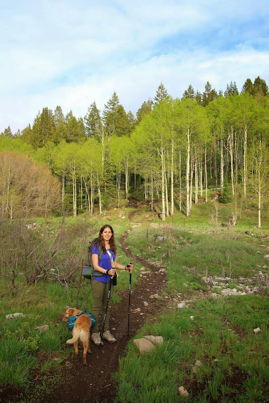
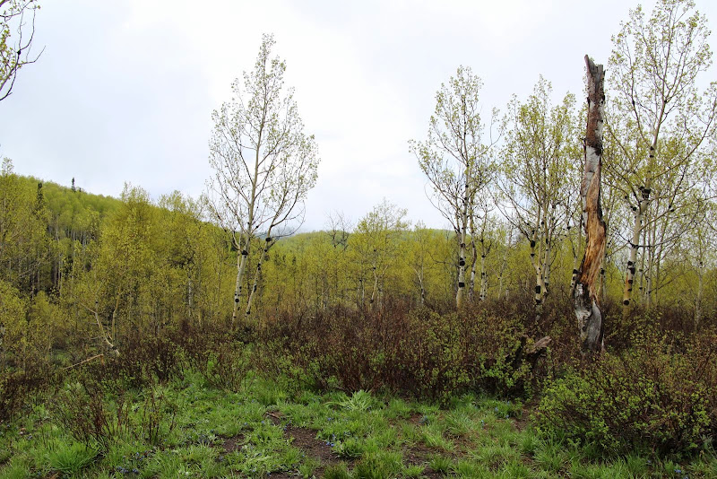
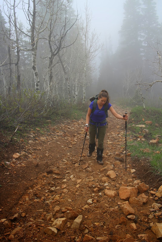
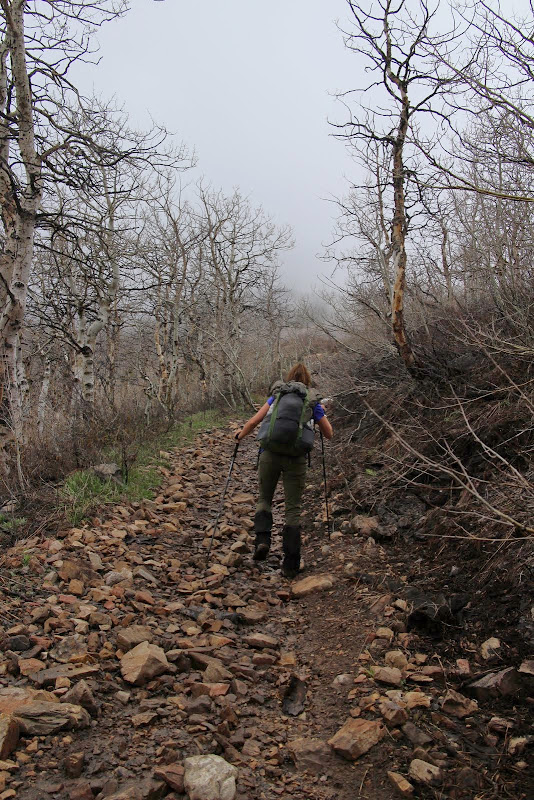
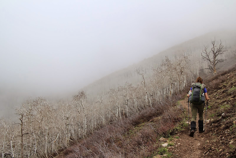
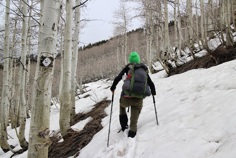
Soon we found ourselves at the junction of 40 and Holman Flat. This is where the switchbacks begin. Last week the trees were asleep and didn't have many leaves. This week was the exact opposite: super green and leafy. Last week they were still asleep.
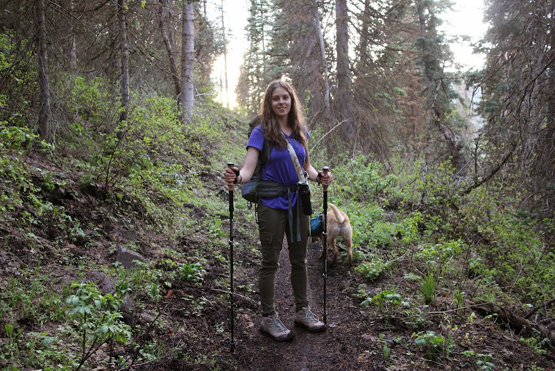
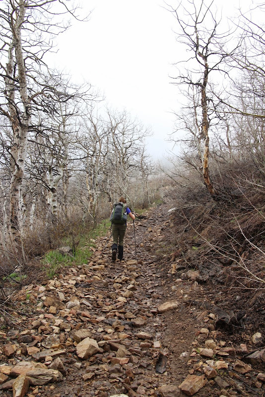
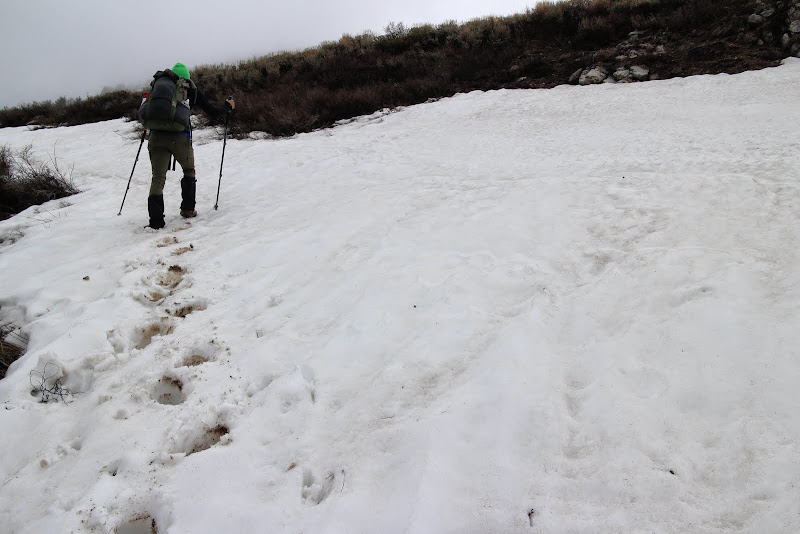
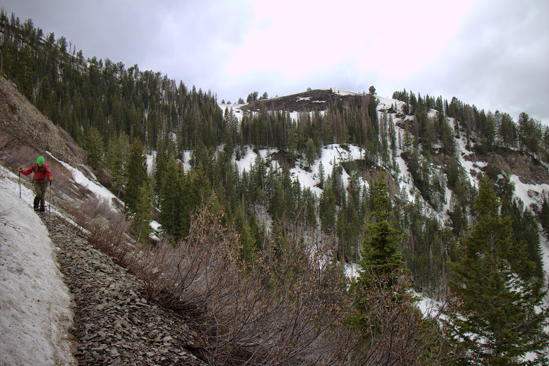
In contrast to last week, there were only one or two tiny patches of snow on the trail. The forest service had been through and cut all the fallen trees, and it was easy going. However, with all the snow patches that had melted in the past year, the ground was pretty soggy. We were conscious of whether or not we were doing trail damage. While our boots were getting muddy on the bottom, and you could see our footprints, we weren't doing any damage to the trail or leaving big impressions. So we continued on. Side note: a horse or dirt bike would destroy the trail under these conditions. Give it a week or so and it should dry out nicely.
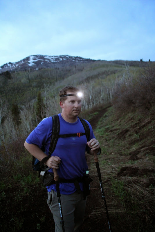
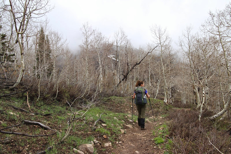
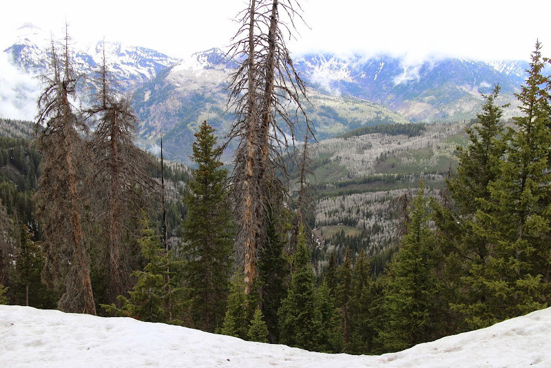
It's amazing how many of these switchbacks there are. When you're on a dirt bike or a mountain bike, they go by quickly. On foot, it takes a while. Fortunately it's beautiful in there. We saw some squirrels and a turkey. The sun was setting and I did not want to be stuck in the switchbacks at dark, that place can be spooky. So we hustled and made our way out before it got completely dark.
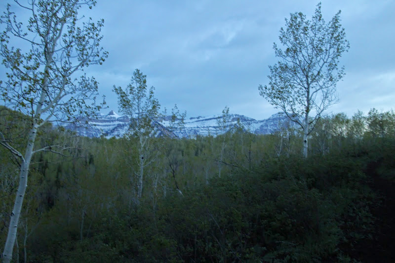
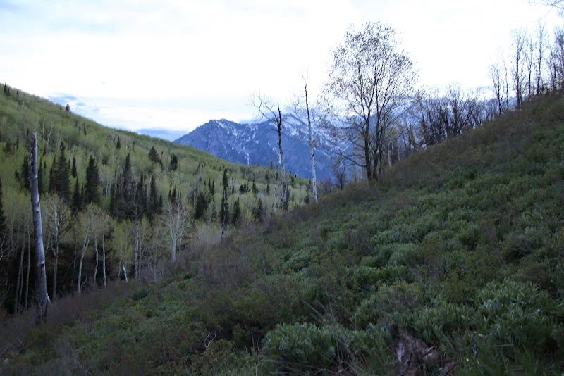
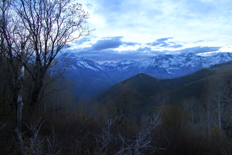
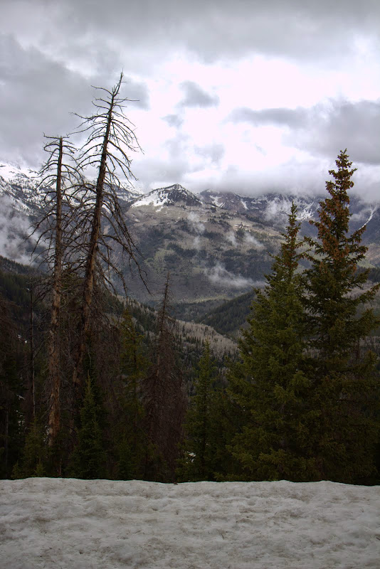
Looking back at timp, the clouds were starting to lift.
It was getting dark right as we were pulling into camp at Mill Creek Spring.
We pulled up to the spring and we were greeted with the sound of a HUGE group singing at the top of their lungs. Darn, I had hoped we'd be the only ones up here.
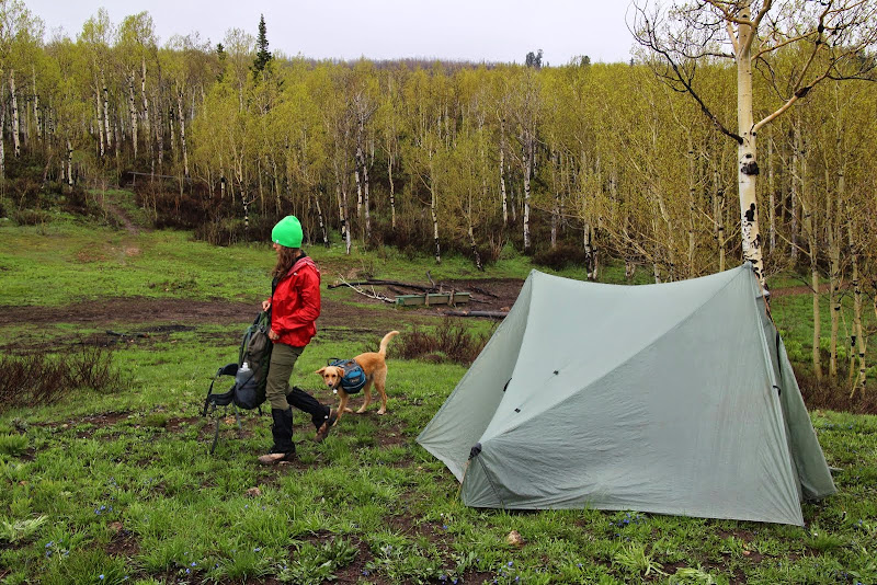
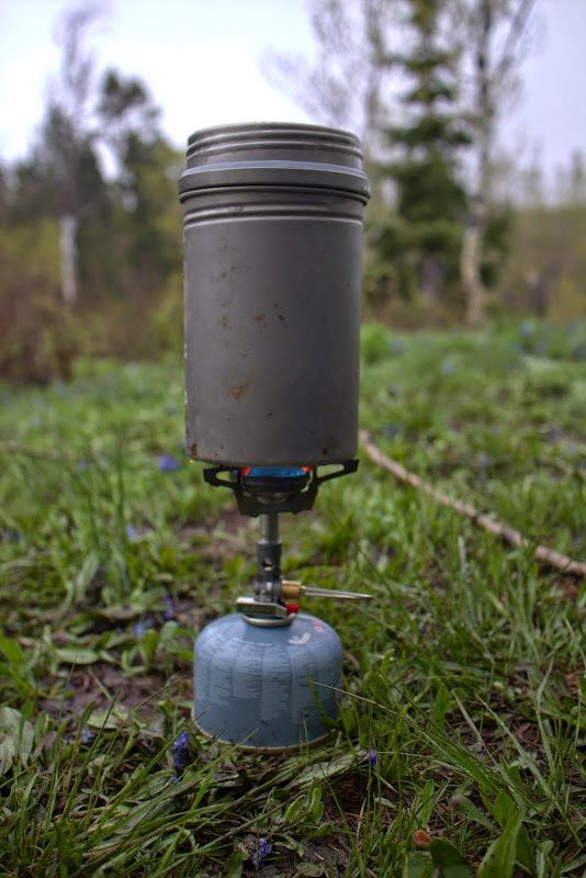
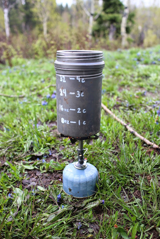
Actually, they were awesome neighbors. They were a group of teens from a performing arts school and they were really talented musicians. They had driven their trucks up the dirt road to the spring and were car-camping right at the spring. They saw our headlamps and came over and introduced themselves. Super awesome people, and they were surprised that we walked "all the way from Tibble." They invited us to their fire and dinner, and they were awesome. I think they felt bad for us and were worried that we weren't prepared. We get that a lot when people see our small packs. I busted out my new Soto Windmaster stove to use it for the first time, along with my Vargo BOT (review coming soon). We cooked up a quick dinner, hung our bear bag, and headed off to bed.
We awoke to rain in the middle of the night, but our tarptent stratospire kept us 100% dry. I know this isn't a review, but I absolutely love that tent. The design is incredible, and the vestibules really keep everything dry. Even with a drizzle all night, the inside of the tent (including the fly) was dry. Superb tent.
I woke up and it was still sprinkling. It sounded like it was really coming down out there, but that's just how tents sound. I threw on my rain jacket and ran to get my bear bag so we could cook breakfast in the vestibule of the tent.
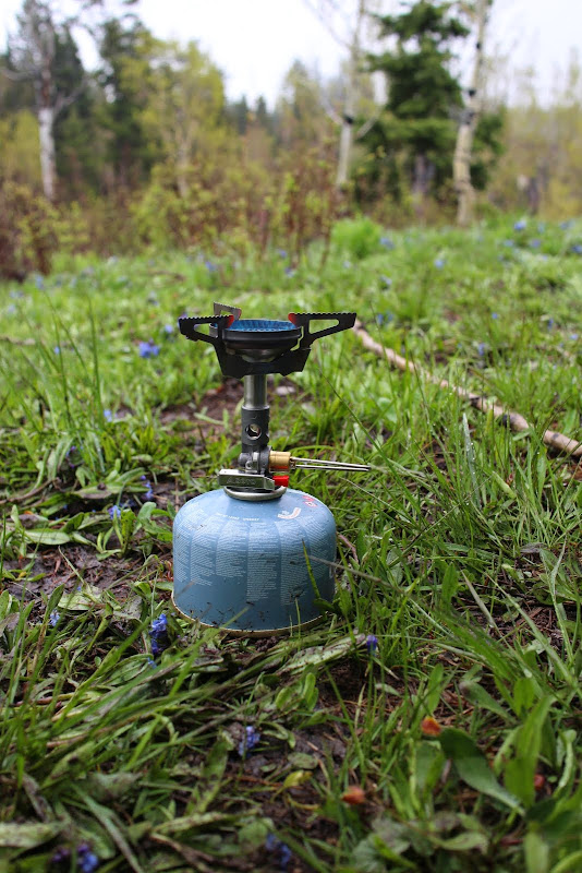
The SOTO stove and fuel canister are quite heavier than my alcohol stove, but it was very convenient to be able to turn off my stove as soon as it's boiling, and being able to cook immediately without waiting for it to bloom. The Vargo BOT is a game-changer. I can't imagine a trip without it now.
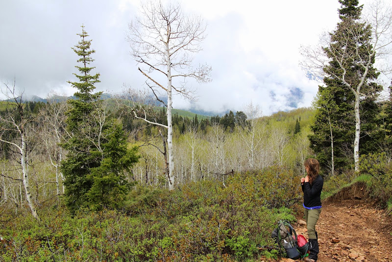
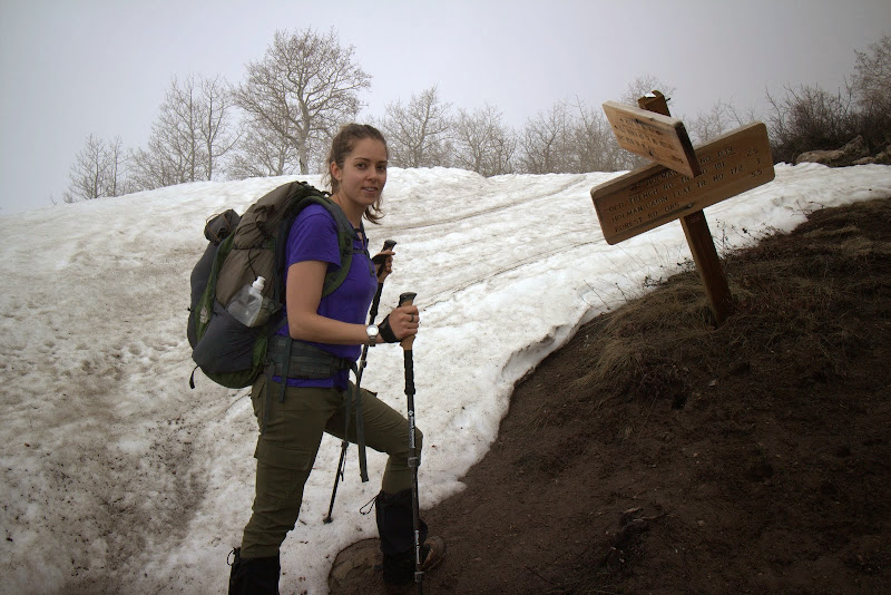
We packed up our gear and our wet tent, then we had to make a judgement call. With all the rain we got during the night, I was sure trail 40 was over-saturated and we'd be doing more sliding than walking. I didn't want to damage the trail, so I opted for another choice. We could also take the dirt road down to cascade springs, hike the paved road to the summit, then hike the paved road down. That didn't sound fun, but it was the best option for the trail. Then the other option was to continue up the ridge trail, 157, to Forest Lake. We decided to check out the ridge trail to see what it looked like.
At this point of the ridge trail, there's tons of rocks and drainage to let the water flow. The trail wasn't muddy at all, so we continued on toward our destination.
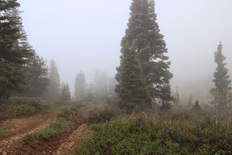
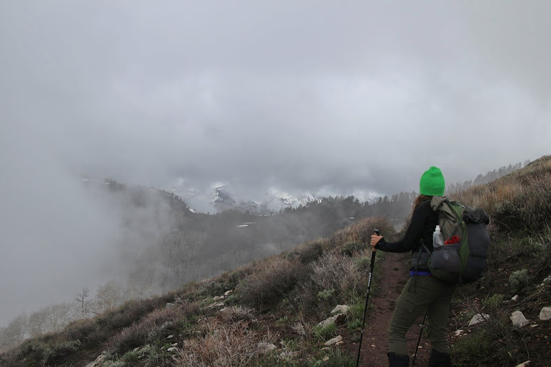
As we climbed higher, we began to enter the clouds.
After the first rocky, steep climb, it leveld out. Normally you'd be able to see Midway and Heber off to your right. Not this day.
We continued on up the long rocky climb.
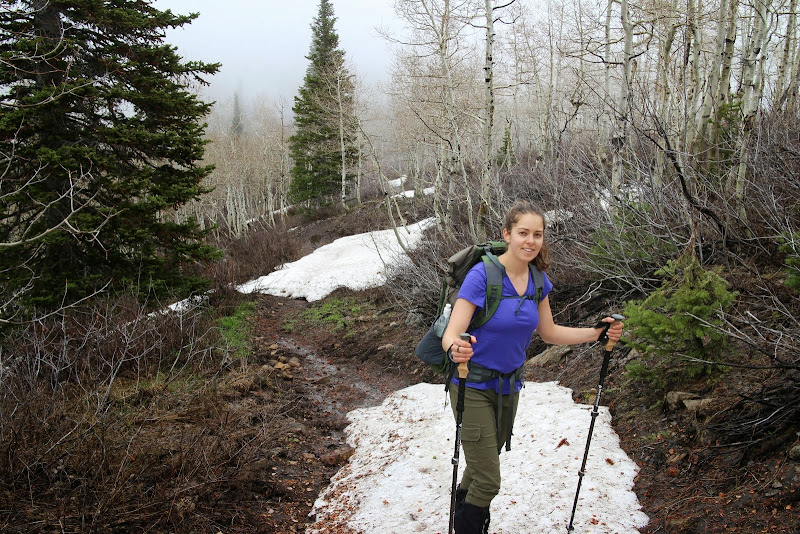
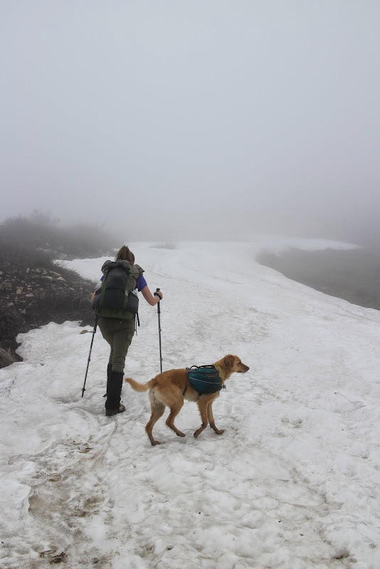
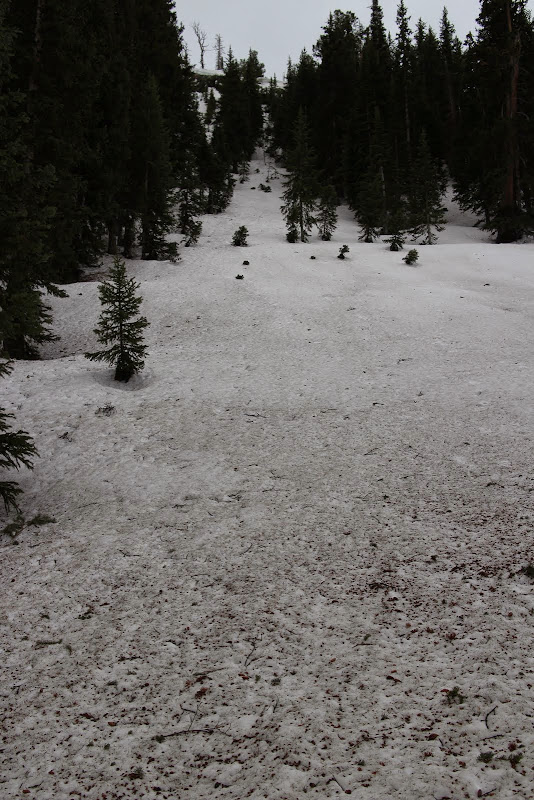
Pretty soon we found the trail completely buried beneath some big snow drifts.
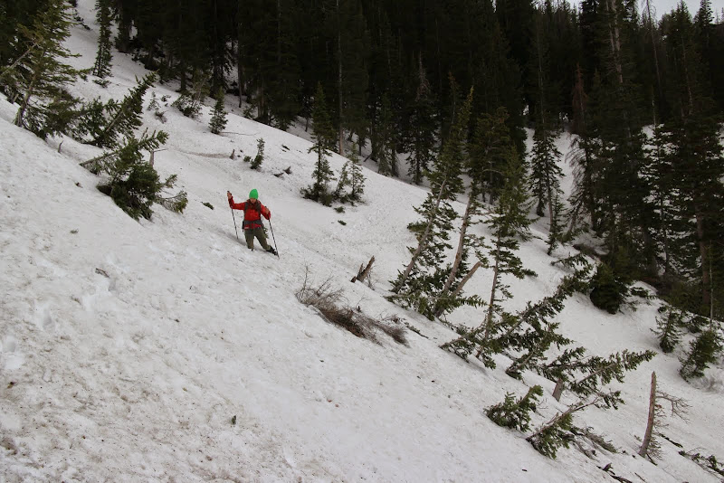
Heading towards the saddle that overlooks Forest Lake.
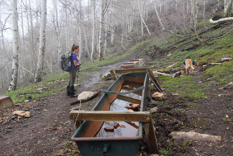
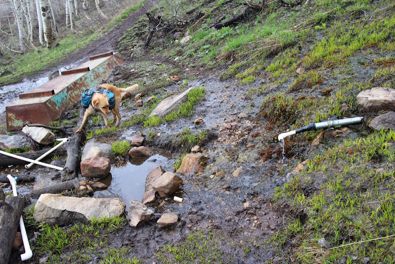
We then came upon Rock Spring. It looked like the snow had messed up some of the pvc piping, but at least the main pipe coming out of the ground was flowing.
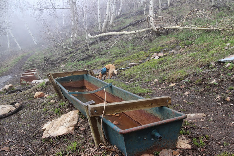
We filtered and topped off our water bottles and continued on.
Continuing our way across the ridge trail.
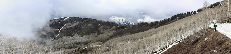
The clouds really added a cool mystique to the scenery.
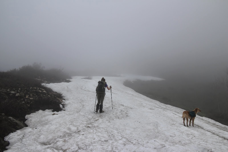
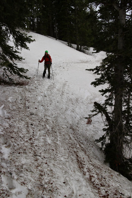
Here is the intersection of Holman Flat trail on the left and the ridge trail on the right. This is where we typically hit snow on the dirt bikes in early June, so I wasn't surprised.
What did surprise me, however, was how difficult it was to see where the trail was beneath all that snow.
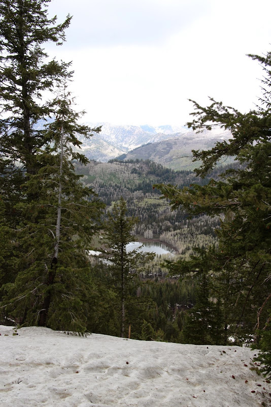
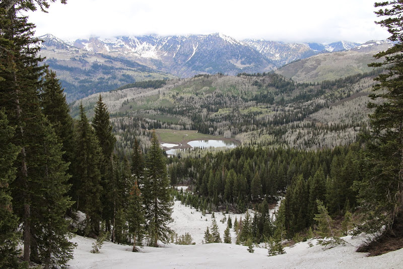
Looking down onto Forest Lake.
There aren't many photos from the next section because I was scared out of my mind. We were within 40 feet of the trail the entire time, but it was easy to lose and buried under 5 feet of snow. The trail traverses across a sidehill, and at one point, we went right across a chute at about 60*. It went straight down about 1/4 mile. At this point I was regretting going this early in the year, but we decided to continue on. It still makes me sick to think that we crossed that sketchy section.
With that short 20 foot sketchy section behind us, we had much more confidence for the rest of the trek across the side of the mountain. Sometimes we were able to stay on top, and other times we sank to our waist. It was exhausting. About this time, we heard thunder rolling in the distance. We decided it was high-time to get off the mountain and get down to Forest Lake.
If only I had brought my snowboard...
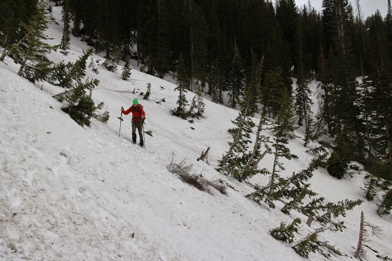
This is the sketchiest part of the trail when you're on a dirt bike. On foot, however, it wasn't nearly as scary. What you can't see is the 45* slope leading about 200 feet down to the right of this picture.
Forest Lake is getting closer...

And for the first time in an hour and a half we were back on solid ground... for now. The issue here was that the ground beneath the shale was supersaturated, and the shale was loose, and the snow on top of the shale was loose. I'm sure glad we had our trekking poles.
Our GPS indicated that we were at the intersection of the trail that drops down into Forest Lake and the ridge trail, though we couldn't tell with all the snow.
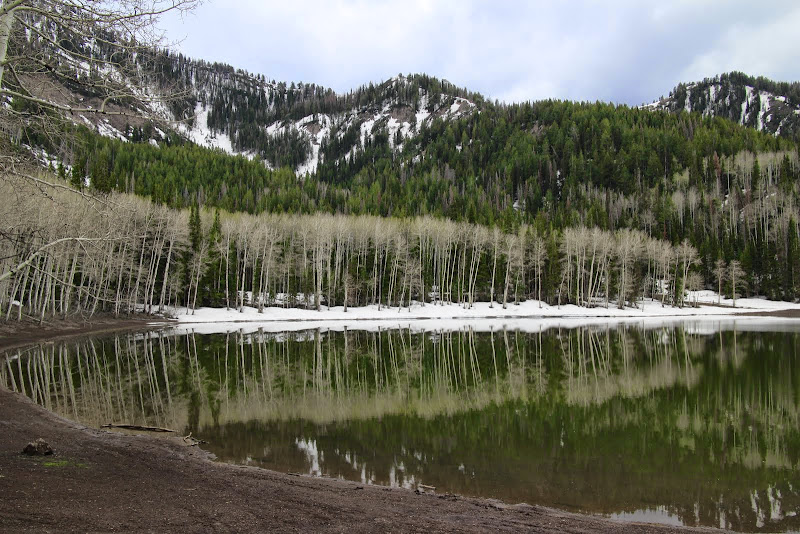
We headed down, trudging through 3' snowdrifts. We finally made it down to Forest Lake after another hour of sludging along. We were pretty hungry for lunch at this time.
Due to the cold weather, the camera and GPS batteries were dead, so we didn't get any more pictures. We ate a quick lunch then headed down Forest Lake Road. Right where the trail exits the trees (or enters the trees if you're walking backwards), the entire trail was covered in snow at least 3 feet deep. The every 100 yards or so we'd see a patch of dirt, but that was it. We continued down the trail, came across a handful of jeepers, and crossed the river without incident. Then it was a lovely 2 hour walk down the main road to our car back at Tibble. I've driven this road hundreds of times, but I noticed tons of new interesting things here by walking it. What a beautiful canyon, we're so lucky to have this resource in our back yard!
Featured image for home page:

Since we didn't make it the week before, we wanted revenge, and we decided to make an overnighter of it.
Friday evening before we left, it started to rain. We were questioning if we still wanted to go, and with it being memorial day weekend we knew it was going to be crazy busy up the canyon. But then we realized that the rain would scare away quite a few of the fair-weather campers. If rain scared us, we'd never be able to enjoy the Uintas or the Winds. As long as trail conditions weren't sloppy, and as long as we weren't in danger of thunderstorms, we weren't going to be deterred by rain.
We packed up our packs and headed to Tibble Fork to park the car. It was lightly sprinkling, as you can see the ripples on the lake.
We hiked a short bit up the fire road and crossed the bridge to start trail 40. The Forest Service removed the yellow provisional sign they had up last week, so the trail is now open to horses, mountain bikes, and dirt bikes, in addition to hikers. The river was overflowing with runoff.
Rounding the corner and heading up the hill, the rain had completely stopped. The trail was lightly damp, but not muddy at all. It looked like one mountain biker had been up there before us that day.
Soon we found ourselves at the junction of 40 and Holman Flat. This is where the switchbacks begin. Last week the trees were asleep and didn't have many leaves. This week was the exact opposite: super green and leafy. Last week they were still asleep.
In contrast to last week, there were only one or two tiny patches of snow on the trail. The forest service had been through and cut all the fallen trees, and it was easy going. However, with all the snow patches that had melted in the past year, the ground was pretty soggy. We were conscious of whether or not we were doing trail damage. While our boots were getting muddy on the bottom, and you could see our footprints, we weren't doing any damage to the trail or leaving big impressions. So we continued on. Side note: a horse or dirt bike would destroy the trail under these conditions. Give it a week or so and it should dry out nicely.
It's amazing how many of these switchbacks there are. When you're on a dirt bike or a mountain bike, they go by quickly. On foot, it takes a while. Fortunately it's beautiful in there. We saw some squirrels and a turkey. The sun was setting and I did not want to be stuck in the switchbacks at dark, that place can be spooky. So we hustled and made our way out before it got completely dark.
Looking back at timp, the clouds were starting to lift.
It was getting dark right as we were pulling into camp at Mill Creek Spring.
We pulled up to the spring and we were greeted with the sound of a HUGE group singing at the top of their lungs. Darn, I had hoped we'd be the only ones up here.
Actually, they were awesome neighbors. They were a group of teens from a performing arts school and they were really talented musicians. They had driven their trucks up the dirt road to the spring and were car-camping right at the spring. They saw our headlamps and came over and introduced themselves. Super awesome people, and they were surprised that we walked "all the way from Tibble." They invited us to their fire and dinner, and they were awesome. I think they felt bad for us and were worried that we weren't prepared. We get that a lot when people see our small packs. I busted out my new Soto Windmaster stove to use it for the first time, along with my Vargo BOT (review coming soon). We cooked up a quick dinner, hung our bear bag, and headed off to bed.
We awoke to rain in the middle of the night, but our tarptent stratospire kept us 100% dry. I know this isn't a review, but I absolutely love that tent. The design is incredible, and the vestibules really keep everything dry. Even with a drizzle all night, the inside of the tent (including the fly) was dry. Superb tent.
I woke up and it was still sprinkling. It sounded like it was really coming down out there, but that's just how tents sound. I threw on my rain jacket and ran to get my bear bag so we could cook breakfast in the vestibule of the tent.
The SOTO stove and fuel canister are quite heavier than my alcohol stove, but it was very convenient to be able to turn off my stove as soon as it's boiling, and being able to cook immediately without waiting for it to bloom. The Vargo BOT is a game-changer. I can't imagine a trip without it now.
We packed up our gear and our wet tent, then we had to make a judgement call. With all the rain we got during the night, I was sure trail 40 was over-saturated and we'd be doing more sliding than walking. I didn't want to damage the trail, so I opted for another choice. We could also take the dirt road down to cascade springs, hike the paved road to the summit, then hike the paved road down. That didn't sound fun, but it was the best option for the trail. Then the other option was to continue up the ridge trail, 157, to Forest Lake. We decided to check out the ridge trail to see what it looked like.
At this point of the ridge trail, there's tons of rocks and drainage to let the water flow. The trail wasn't muddy at all, so we continued on toward our destination.
As we climbed higher, we began to enter the clouds.
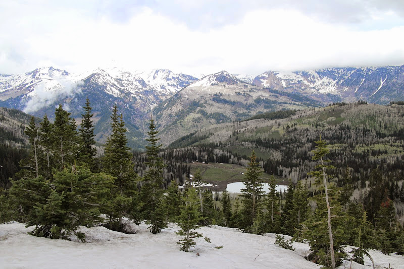
After the first rocky, steep climb, it leveld out. Normally you'd be able to see Midway and Heber off to your right. Not this day.
We continued on up the long rocky climb.
Pretty soon we found the trail completely buried beneath some big snow drifts.
Heading towards the saddle that overlooks Forest Lake.
We then came upon Rock Spring. It looked like the snow had messed up some of the pvc piping, but at least the main pipe coming out of the ground was flowing.
We filtered and topped off our water bottles and continued on.
Continuing our way across the ridge trail.
The clouds really added a cool mystique to the scenery.
Here is the intersection of Holman Flat trail on the left and the ridge trail on the right. This is where we typically hit snow on the dirt bikes in early June, so I wasn't surprised.
What did surprise me, however, was how difficult it was to see where the trail was beneath all that snow.
Looking down onto Forest Lake.
There aren't many photos from the next section because I was scared out of my mind. We were within 40 feet of the trail the entire time, but it was easy to lose and buried under 5 feet of snow. The trail traverses across a sidehill, and at one point, we went right across a chute at about 60*. It went straight down about 1/4 mile. At this point I was regretting going this early in the year, but we decided to continue on. It still makes me sick to think that we crossed that sketchy section.
With that short 20 foot sketchy section behind us, we had much more confidence for the rest of the trek across the side of the mountain. Sometimes we were able to stay on top, and other times we sank to our waist. It was exhausting. About this time, we heard thunder rolling in the distance. We decided it was high-time to get off the mountain and get down to Forest Lake.
If only I had brought my snowboard...
This is the sketchiest part of the trail when you're on a dirt bike. On foot, however, it wasn't nearly as scary. What you can't see is the 45* slope leading about 200 feet down to the right of this picture.
Forest Lake is getting closer...
And for the first time in an hour and a half we were back on solid ground... for now. The issue here was that the ground beneath the shale was supersaturated, and the shale was loose, and the snow on top of the shale was loose. I'm sure glad we had our trekking poles.
Our GPS indicated that we were at the intersection of the trail that drops down into Forest Lake and the ridge trail, though we couldn't tell with all the snow.
We headed down, trudging through 3' snowdrifts. We finally made it down to Forest Lake after another hour of sludging along. We were pretty hungry for lunch at this time.
Due to the cold weather, the camera and GPS batteries were dead, so we didn't get any more pictures. We ate a quick lunch then headed down Forest Lake Road. Right where the trail exits the trees (or enters the trees if you're walking backwards), the entire trail was covered in snow at least 3 feet deep. The every 100 yards or so we'd see a patch of dirt, but that was it. We continued down the trail, came across a handful of jeepers, and crossed the river without incident. Then it was a lovely 2 hour walk down the main road to our car back at Tibble. I've driven this road hundreds of times, but I noticed tons of new interesting things here by walking it. What a beautiful canyon, we're so lucky to have this resource in our back yard!
Featured image for home page:
")